The best mountain hikes around San Nicolò Di Comelico
4.7
(47)
587
hikers
23
hikes
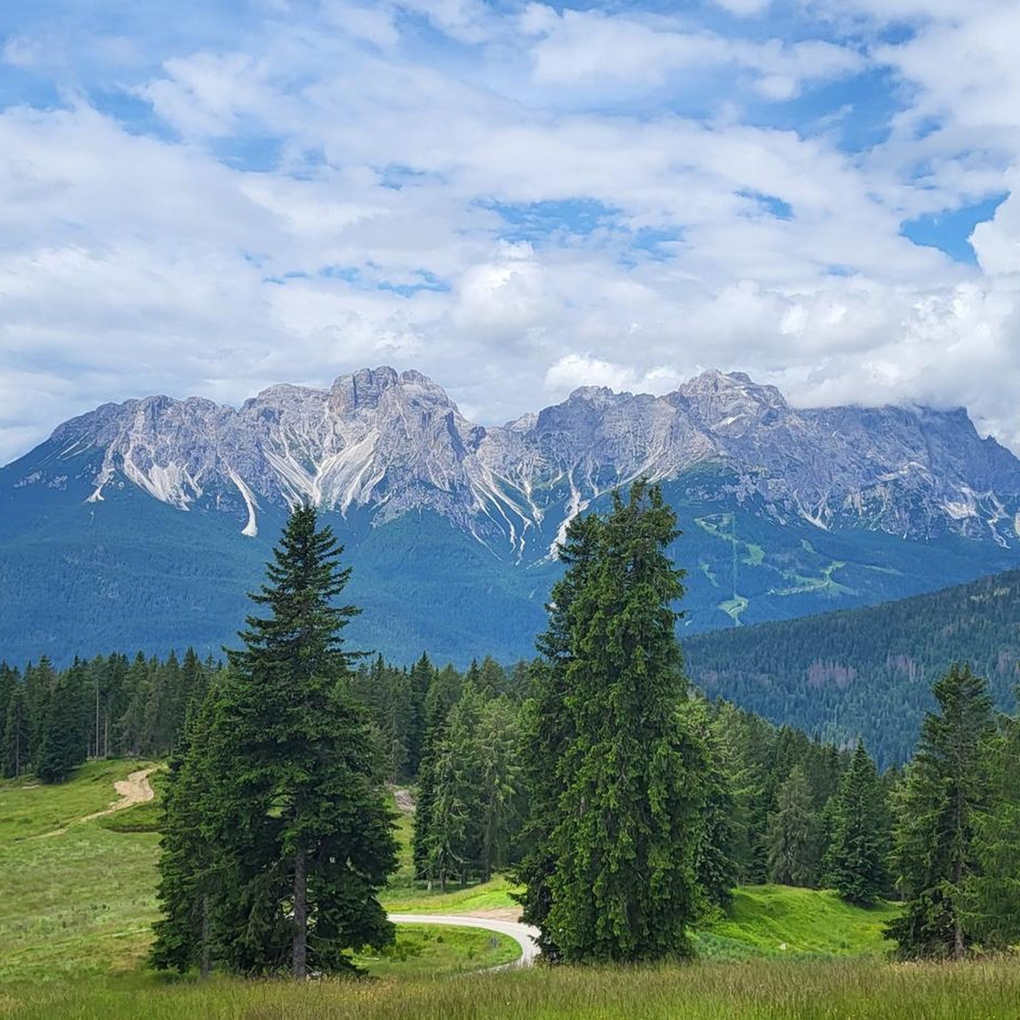
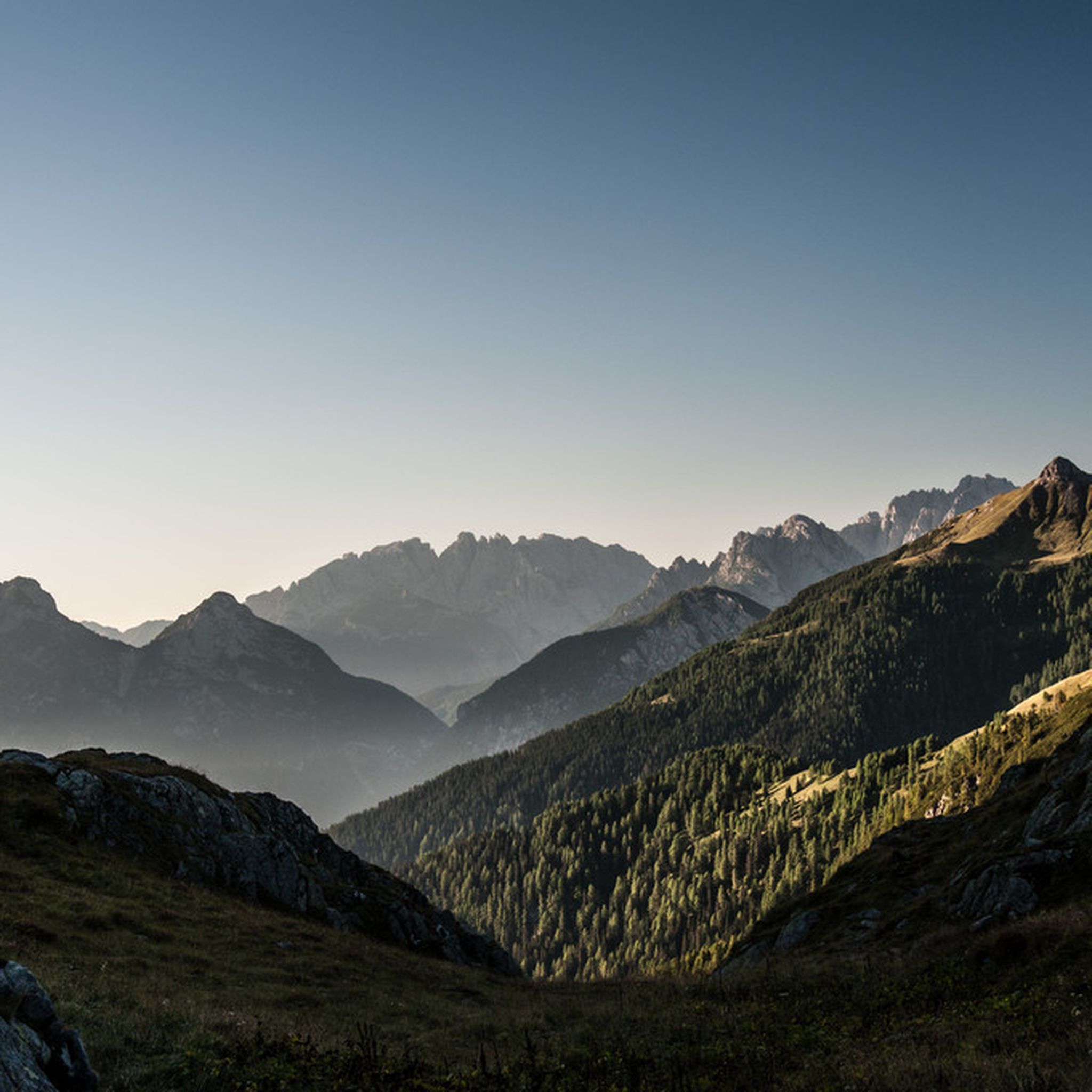
Mountaineering routes around San Nicolò Di Comelico traverse a landscape characterized by rugged alpine peaks, deep valleys, and dense forests typical of the Dolomites. The region offers challenging ascents and technical sections, including via ferratas, for experienced mountaineers. These routes often lead to panoramic viewpoints and high-altitude huts, providing a true mountain experience. The terrain demands good physical condition and appropriate gear for safe exploration.
Best mountaineering routes around San Nicolò Di Comelico
- The most popular mountaineering route is Porze…
Last updated: May 12, 2026
5.0
(6)
61
hikers
10.8km
05:32
890m
890m
Hard mountaineering route. Very good fitness required. Sure-footedness, sturdy shoes and alpine experience required.
5.0
(1)
28
hikers
Hard mountaineering route. Very good fitness required. Sure-footedness, sturdy shoes and alpine experience required.

Sign up for free
5.0
(2)
23
hikers
15.9km
06:51
1,080m
1,080m
Hard mountaineering route. Very good fitness required. Sure-footedness, sturdy shoes and alpine experience required.
15
hikers
13.7km
05:50
970m
970m
Hard mountaineering route. Very good fitness required. Sure-footedness, sturdy shoes and alpine experience required.
9
hikers
6.52km
02:30
400m
400m
Moderate mountaineering route. Good fitness required. Mostly accessible paths. Sure-footedness required.
Get access to more routes and recommendations from other explorers.
Sign up for free
Already have an account?
Our route recommendations are based on thousands of hikes, rides, and runs completed by other people on komoot.
Start today with a free account
Your next adventure awaits.
Login or Signup

Tips from the Community

Spectacular view, very pleasant road although quite steep
2
0

Shortly before and after reaching the Tilliacher Joch/Forcella Dignas, fantastic views of the surrounding valleys and mountains offer themselves. The surroundings are enhanced by former First World War military positions.
0
0

It was very nice to be up there with the bike👍
0
0

The raised moor begins towards the hut (so no dry path)
0
0
Beautiful passage between the peaks - it goes down quite steeply in places next to the ridge path - not for beginners and people with a fear of heights
0
0

Once you've struggled up to the top, the view of the Porze, the Große Kinigat and the view down to the Porzehütte is impressive. Up here you have almost a 360 degree view.
0
0

The Tilliacher Joch was already an important crossing point in 1822, where a lively timber trade took place between the Italians and the people of Obertilliach. The timber was used at the time for fortifying Venice, for building houses and bridges, as well as for gondolas and ships. In 1915, the Tilliacher Joch was occupied by the Lesachtal Standschützen Company and the Porzescharte opposite was occupied by the Italians. The Carnic High Route has made the two crossings more important again in modern times.
2
0

Entrance is well signposted and easy to find.
1
0
Frequently Asked Questions
How many mountaineering routes are available in San Nicolò Di Comelico?
There are over 20 mountaineering routes around San Nicolò Di Comelico, offering a range of experiences from moderate to difficult. The region is known for its challenging alpine ascents and via ferrata sections.
Are there any moderate mountaineering routes suitable for those with some experience?
Yes, for those with some mountaineering experience, routes like the New Porze Hut – View of Porzehütte loop from Schutzzone Rothirsch/Reh offer a rewarding challenge. This moderate 6.5 km route takes around 2 hours 30 minutes to complete.
What is the best time of year for mountaineering in San Nicolò Di Comelico?
The best time for mountaineering in San Nicolò Di Comelico is typically from late spring to early autumn (June to September), when the weather is most stable and trails are generally free of snow. Always check local weather forecasts and trail conditions before heading out.
Are there any circular mountaineering routes in the area?
Many routes in San Nicolò Di Comelico are designed as loops, allowing you to start and finish at the same point. An example is the challenging Porze Summit – Monte Peralba East Via Ferrata loop from Schutzzone Rothirsch/Reh, which is 11 km long and includes via ferrata sections.
What kind of gear do I need for mountaineering in San Nicolò Di Comelico?
Given the rugged alpine terrain and presence of via ferratas, appropriate gear is essential. This includes sturdy mountaineering boots, weather-appropriate clothing, a helmet, harness, via ferrata set, and sufficient food and water. Always check the specific requirements for your chosen route.
Are there any routes that lead past mountain lakes or offer scenic water features?
Yes, the region features beautiful natural water elements. For instance, the difficult Oberer Stuckensee – Stuckensee loop from Tiroler Gailtal leads through high alpine valleys and past mountain lakes. You can also explore nearby waterfalls like Cascata del Pissandolo or the Risena Waterfalls.
What do other mountaineers say about the routes in San Nicolò Di Comelico?
The mountaineering routes in San Nicolò Di Comelico are highly regarded by the komoot community, with an average rating of 4.7 stars from over 60 reviews. Users often praise the challenging alpine ascents, the stunning panoramic views, and the well-maintained via ferrata sections.
Are there any longer, more challenging mountaineering expeditions available?
For experienced mountaineers seeking longer and more demanding expeditions, routes like the Via Ferrata Entry Point loop from Große Kinigat / Monte Cavallino offer a significant challenge. This difficult 10.5 km path navigates rugged alpine terrain and impressive rock formations.
What natural landmarks can I explore near the mountaineering trails?
Beyond the trails themselves, you can discover several natural landmarks. The Kreuzberg Pass (Passo Monte Croce di Comelico) is a notable mountain pass, and the Olbe Lakes offer picturesque high-altitude scenery.
Are there any shorter, moderate routes for a half-day mountaineering trip?
If you're looking for a moderate half-day trip, the Rifugio Rinfreddo – Passo Silvella loop from Rifugio Rinfreddo is a good option. This 9.3 km route takes approximately 3 hours 35 minutes and offers beautiful alpine scenery without the extreme difficulty of some longer tours.
Is winter mountaineering possible in San Nicolò Di Comelico?
Winter mountaineering in San Nicolò Di Comelico is possible but requires significant experience, specialized equipment (such as snowshoes, crampons, and ice axes), and a thorough understanding of avalanche safety. Conditions can be severe, so it's crucial to consult local mountain guides and current avalanche reports before attempting any winter ascents.
Most popular routes around San Nicolò Di Comelico
Most popular attractions around San Nicolò Di Comelico

Get inspired with the komoot mobile app


Explore more
Browse the best Mountain Hikes & Routes in other regions.
