The best MTB trails around Suhlendorf
4.3
(106)
270
riders
47
rides
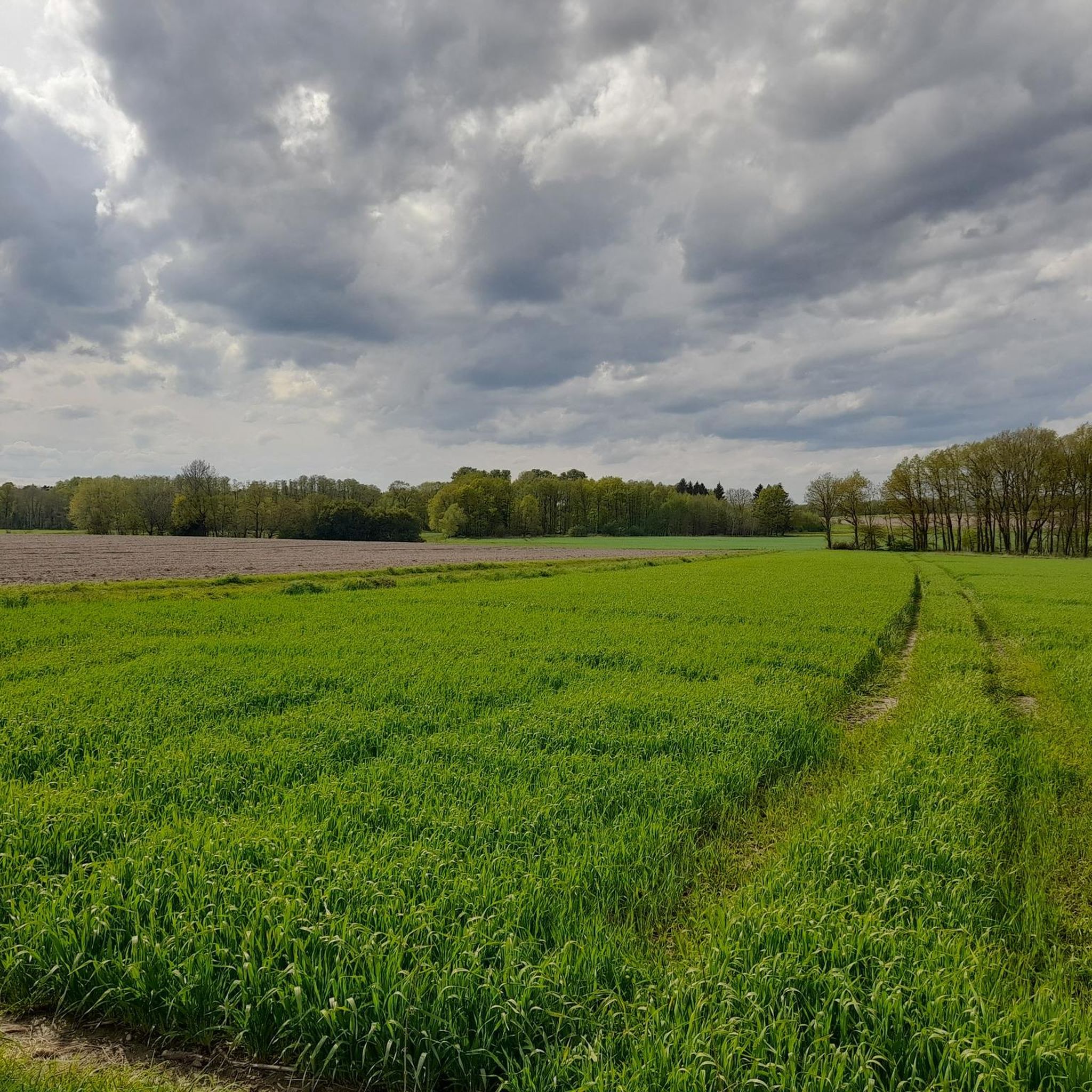
Mountain biking around Suhlendorf offers routes through the green landscape of the Lüneburger Heide, characterized by gentle hills and picturesque forests. The region is situated between the Ilmenau and Drawehn rivers, providing diverse natural features for exploration. Riders can expect a mix of unpaved and paved surfaces, with trails winding through woodlands and open countryside. The area's terrain is suitable for various skill levels, from leisurely rides to more challenging segments.
Best mountain bike trails around Suhlendorf
- The most popular mountain bike trail is Uelzen City Forest Wildlife Park – Ratsteich, Uelzen loop from Uelzen, a 23.4 miles (37.7 km) moderate trail that takes 2 hours 29 minutes to complete, passing through forest and by water features.
- Another top favourite among local mountain bikers is Bridge Over the Gerdau River – Blueberry Trail loop from Uelzen, a moderate 16.6 miles (26.8 km) path exploring river landscapes and natural trails, typically completed in 1 hour 59 minutes.
- Local mountain bikers also love the Nightjar Information Sign – Hoher Berg loop from Wieren, a 15.5 miles (25.0 km) trail leading through gentle hills and forests, often completed in about 2 hours 3 minutes.
- Mountain biking around Suhlendorf is defined by green landscapes, gentle hills, and picturesque forests within the Lüneburger Heide. The network offers options for different ability levels, including easy and moderate routes.
- The routes in Suhlendorf are highly rated by the komoot community with an average score of 4.3 stars from over 90 reviews. More than 200 mountain bikers have used komoot to explore Suhlendorf's varied terrain.
Last updated: October 1, 2026
4.6
(9)
17
riders
37.7km
02:29
140m
140m
Moderate mountain bike ride. Good fitness required. Suitable for all skill levels.
4.3
(3)
8
riders
26.9km
02:00
120m
120m
Moderate mountain bike ride. Great for any fitness level. Advanced riding skills necessary.

5.0
(2)
9
riders
25.0km
02:03
200m
200m
Moderate mountain bike ride. Good fitness required. Advanced riding skills necessary.
3.0
(1)
3
riders
Moderate mountain bike ride. Good fitness required. Advanced riding skills necessary.
4.0
(2)
4
riders
28.2km
02:18
200m
200m
Moderate mountain bike ride. Good fitness required. Advanced riding skills necessary.
Get access to more routes and recommendations from other explorers.
Already have an account?
Our route recommendations are based on thousands of hikes, rides, and runs completed by other people on komoot.
Start today with a free account
Your next adventure awaits.
Other adventures around Suhlendorf

Tips from the Community

For a hike in the Wierener Mountains, you should have a real or virtual hiking map with you - many paths look the same in the large and rather uniform forest area...
0
0
Given the rapidly growing trees, it is unlikely that typical heathland birds such as the nightjar are still found here.
0
0
Meanwhile, the heathlands here are already heavily overgrown with pines and birches. If the heath is not regularly cleared of bushes or grazed, it quickly turns into forest.
0
0
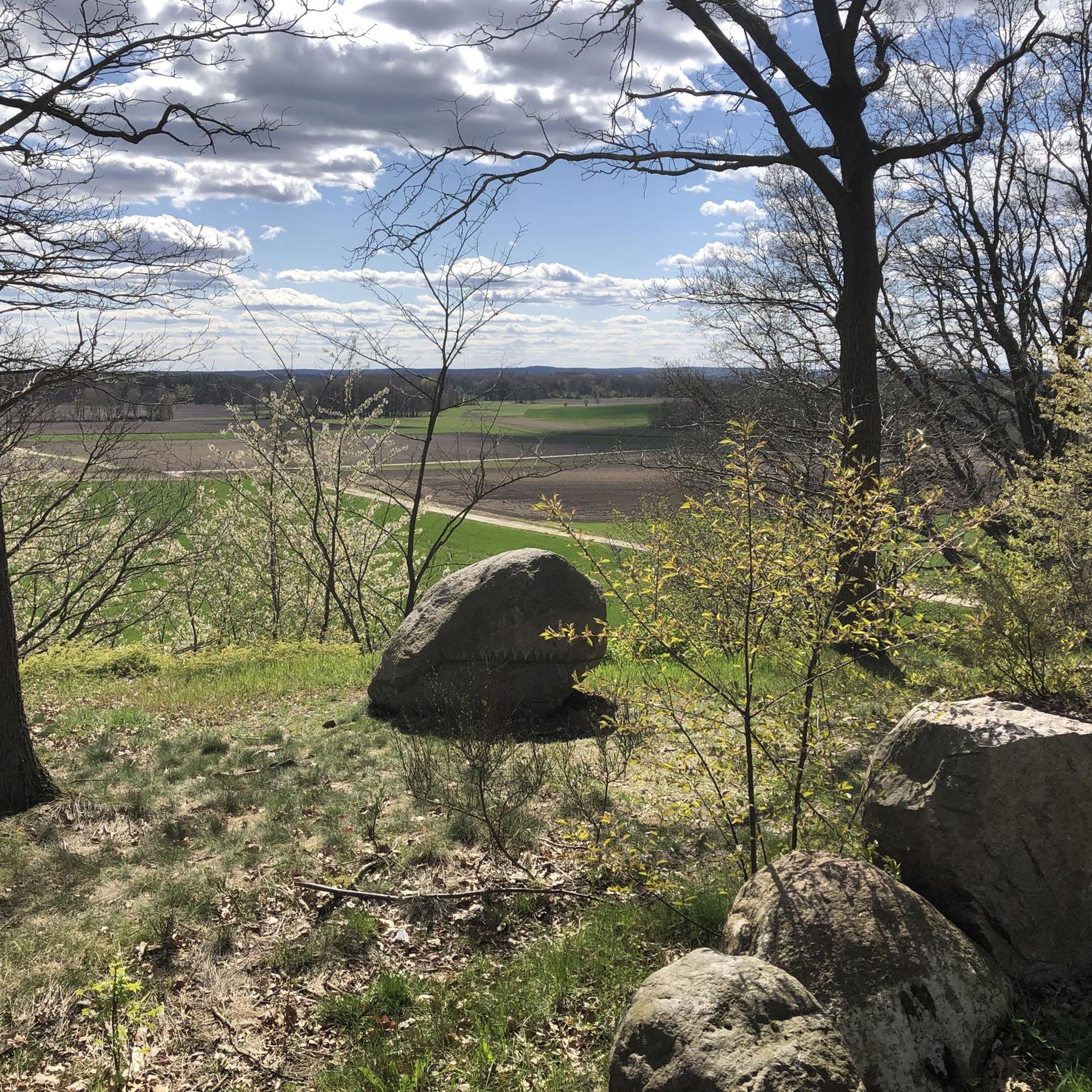
The Hohe Berg is one of the highest points in the lowlands between the Weser and the Elbe
0
0
Unfortunately only good views of the canal to the north
0
0

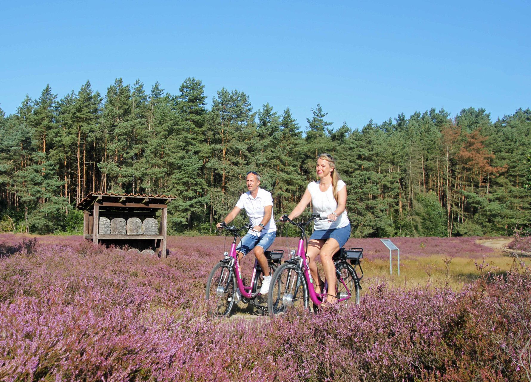
The beehives are part of the Bad Bodenteicher Heide nature trail and belong to the information point 'small cultural history of beekeeping'.
1
0

For those who want to cross the river on foot or by bike without getting wet, I recommend the pedestrian bridge a few meters further west from here. The dirt path is also visible on the map. It is possible that you will encounter nasty vegetation, depending on when it was last mowed.
0
0
Frequently Asked Questions
What kind of terrain can I expect on mountain bike trails around Suhlendorf?
The trails around Suhlendorf offer a varied landscape, characterized by a green environment with gentle hills and picturesque forests within the Lüneburger Heide. You'll encounter a mix of unpaved and paved surfaces, with routes winding through woodlands, open countryside, and along river landscapes. While there are no dedicated bike parks, the area provides a range of experiences from easy, mostly paved paths to more rugged, unpaved segments that can be quite challenging.
Are there mountain bike trails suitable for beginners or families in Suhlendorf?
Yes, Suhlendorf offers mountain bike routes suitable for various skill levels, including easy options perfect for beginners or families. These trails often feature mostly paved surfaces and gentle gradients, allowing for a relaxed ride through the scenic Lüneburger Heide. For example, there are 11 easy routes available, providing accessible options for those new to mountain biking or looking for a leisurely outing.
What are some notable natural features or landmarks I might see while mountain biking in Suhlendorf?
While riding around Suhlendorf, you can explore the diverse natural features of the Lüneburger Heide, including its forests and gentle hills. The region is situated between the Ilmenau and Drawehn rivers, offering scenic water features. You might also encounter landmarks such as the Hoher Mechtin Observation Tower or the unique Clenzer Schweiz Erratic Boulder Park. Many routes pass through areas like the NSG Upper Dumme Lowlands, providing opportunities to observe local flora and fauna.
Are there any circular mountain bike routes in the Suhlendorf area?
Yes, many mountain bike routes around Suhlendorf are designed as loops, allowing you to start and finish at the same point. An example is the Nightjar Information Sign – Hoher Berg loop from Wieren, which is a moderate 15.5 miles (25.0 km) trail through gentle hills and forests. Another popular loop is the Hiking Car Park with Shelter – Forest Trail in Lüneburg Heath loop from Wieren, covering 17.2 miles (27.7 km).
What do other mountain bikers say about the trails in Suhlendorf?
The mountain bike trails around Suhlendorf are highly regarded by the komoot community, holding an average rating of 4.3 stars from over 90 reviews. Riders frequently praise the green landscapes, gentle hills, and picturesque forests that define the Lüneburger Heide. The variety of terrain, from river landscapes to natural trails, is also a common highlight, making it an enjoyable destination for many.
Can I find places to rest or take shelter along the mountain bike routes?
Yes, there are several huts and shelters available in the region that can serve as resting spots or provide shelter. For instance, you might come across the Starrel Cabin or the Rosche Youth Shelter and Insect Hotel. These spots offer a chance to take a break and enjoy the peaceful surroundings.
Are there any challenging mountain bike trails for experienced riders?
While the area is known for its gentle hills, some routes offer more challenging segments. The region's 'moderate' routes, which make up the majority of the trails, can include unpaved and more demanding sections. For example, the Descent from Hoher Mechtin – Clenzer Schweiz Erratic Boulder Park loop from Clenze is a longer, moderate trail covering 33.4 miles (53.7 km) with significant elevation changes, providing a more strenuous experience.
What is the typical length and duration of mountain bike trails in Suhlendorf?
The mountain bike trails around Suhlendorf vary in length and duration. For example, the Bridge Over the Gerdau River – Blueberry Trail loop from Uelzen is a moderate 16.6 miles (26.8 km) path that typically takes about 1 hour 59 minutes to complete. Longer routes, such as the Uelzen City Forest Wildlife Park – Ratsteich, Uelzen loop from Uelzen, span 23.4 miles (37.7 km) and can take around 2 hours 29 minutes.
Are there any viewpoints along the mountain bike trails in Suhlendorf?
Yes, the region offers scenic viewpoints where you can enjoy expansive views of the Lüneburger Heide's green landscape. One such spot is the Günneitberg Viewpoint. Additionally, the Hoher Mechtin Observation Tower provides elevated perspectives over the surrounding natural beauty.
What kind of natural environment defines the mountain biking experience in Suhlendorf?
The mountain biking experience in Suhlendorf is defined by its location within the Lüneburger Heide, offering a predominantly green landscape with gentle hills and picturesque forests. You'll ride through diverse natural settings, including areas between the Ilmenau and Drawehn rivers, and explore the peaceful quiet of nature. The region's charm is further enhanced by its historic half-timbered houses and thatched farmhouses that blend into the scenery.
Most popular routes around Suhlendorf
Most popular attractions around Suhlendorf

Get inspired with the komoot mobile app


Explore more
Browse the best MTB trails in other regions.
