The best running trails around Lajen - Laion
4.5
(347)
10,727
runners
25
runs
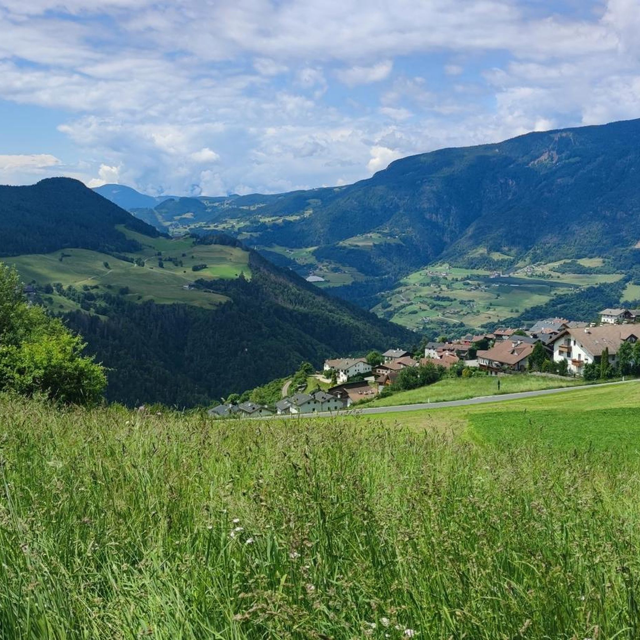
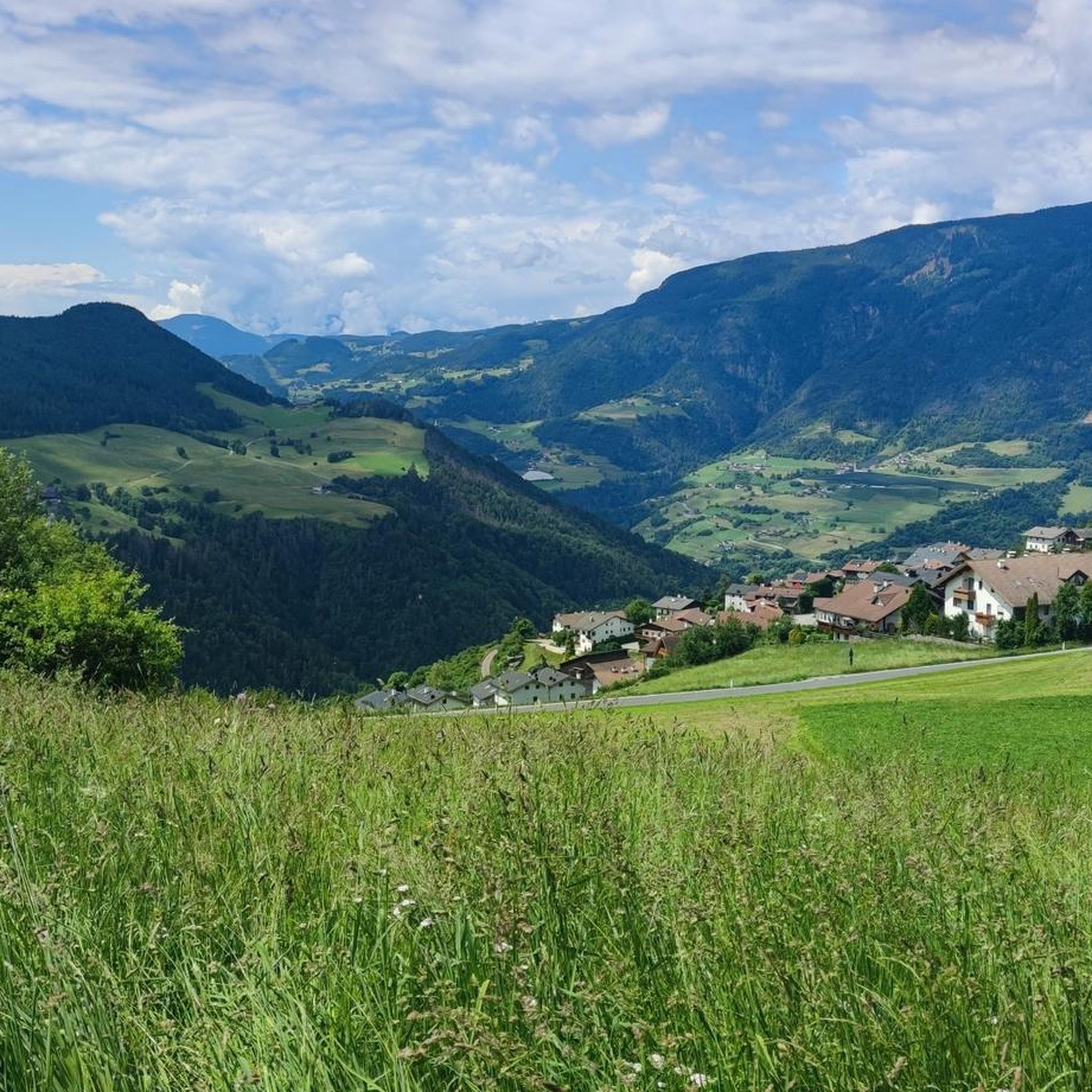
Jogging around Lajen - Laion offers diverse terrain within the South Tyrol region, characterized by its position at the entrance to Val Gardena. The landscape features dramatic Dolomite peaks, expansive alpine meadows, and lush forests, providing a varied backdrop for running. Routes often traverse river valleys and offer panoramic views of iconic massifs like Peitlerkofel and Schlern. This combination of mountainous and valley terrain ensures a range of jogging experiences.
Best jogging routes around Lajen - Laion
- The most popular…
Last updated: May 27, 2026
3.0
(1)
59
runners
6.95km
00:44
50m
50m
Moderate run. Good fitness required. Mostly paved surfaces. Suitable for all skill levels.
5.0
(1)
63
runners
Hard run. Very good fitness required. Mostly paved surfaces. Suitable for all skill levels.

Sign up for free
4.0
(1)
57
runners
13.6km
01:39
310m
310m
Hard run. Very good fitness required. Mostly paved surfaces. Suitable for all skill levels.
4.5
(2)
13
runners
5.55km
00:43
190m
190m
Moderate run. Good fitness required. Mostly paved surfaces. Suitable for all skill levels.
14
runners
Moderate run. Good fitness required. Mostly paved surfaces. Suitable for all skill levels.
Get access to more routes and recommendations from other explorers.
Sign up for free
Already have an account?
Our route recommendations are based on thousands of hikes, rides, and runs completed by other people on komoot.
Start today with a free account
Your next adventure awaits.
Login or Signup
Popular around Lajen - Laion
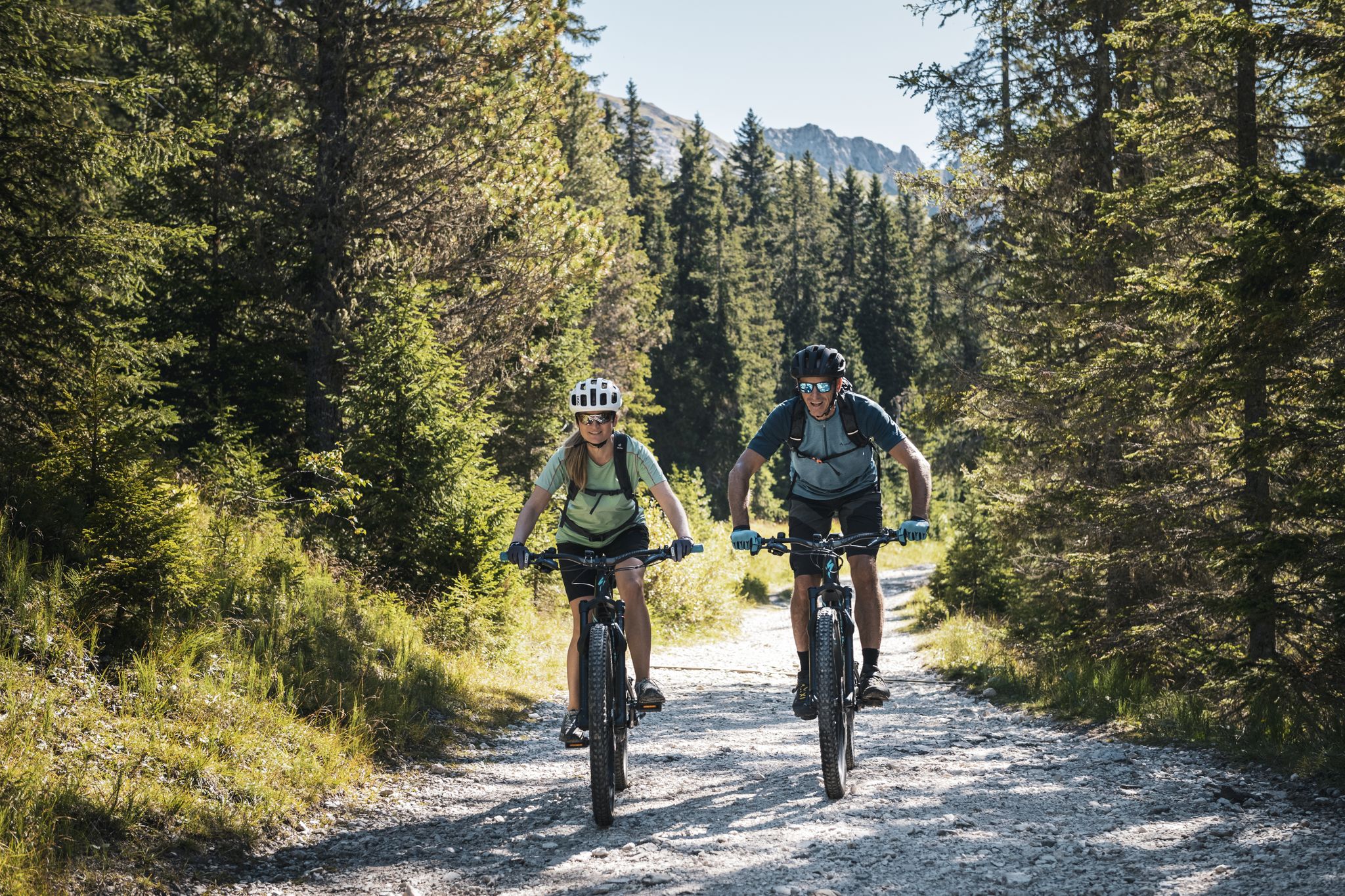
As yet undiscovered South Tyrol – secret MTB adventures
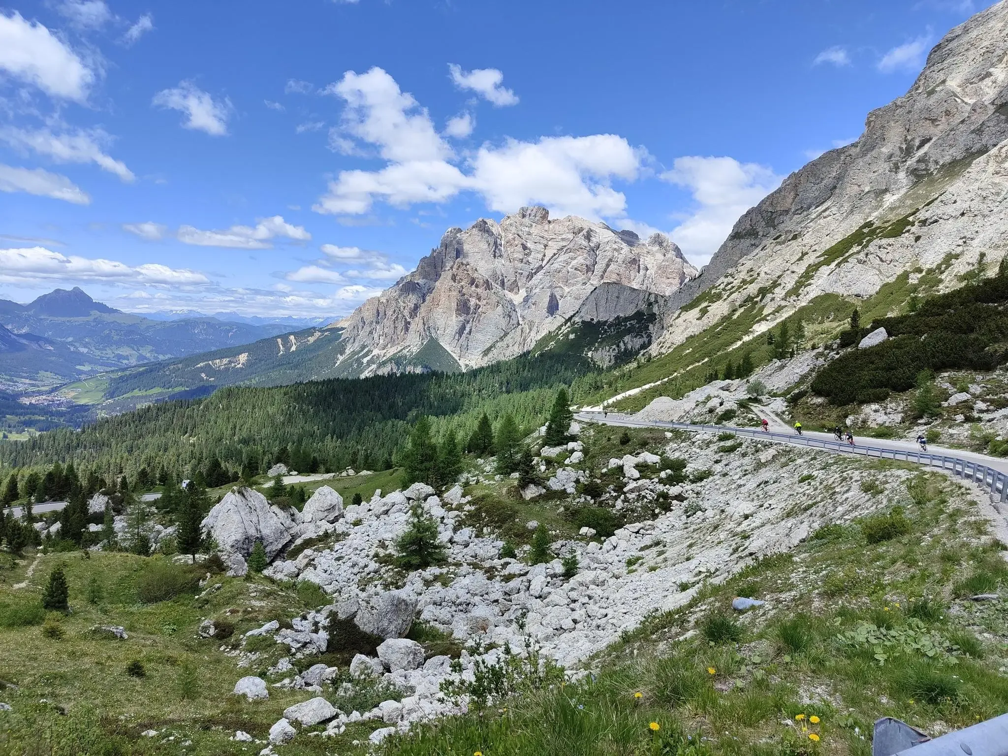
Cycle and climb from the Dolomites to the Balkans
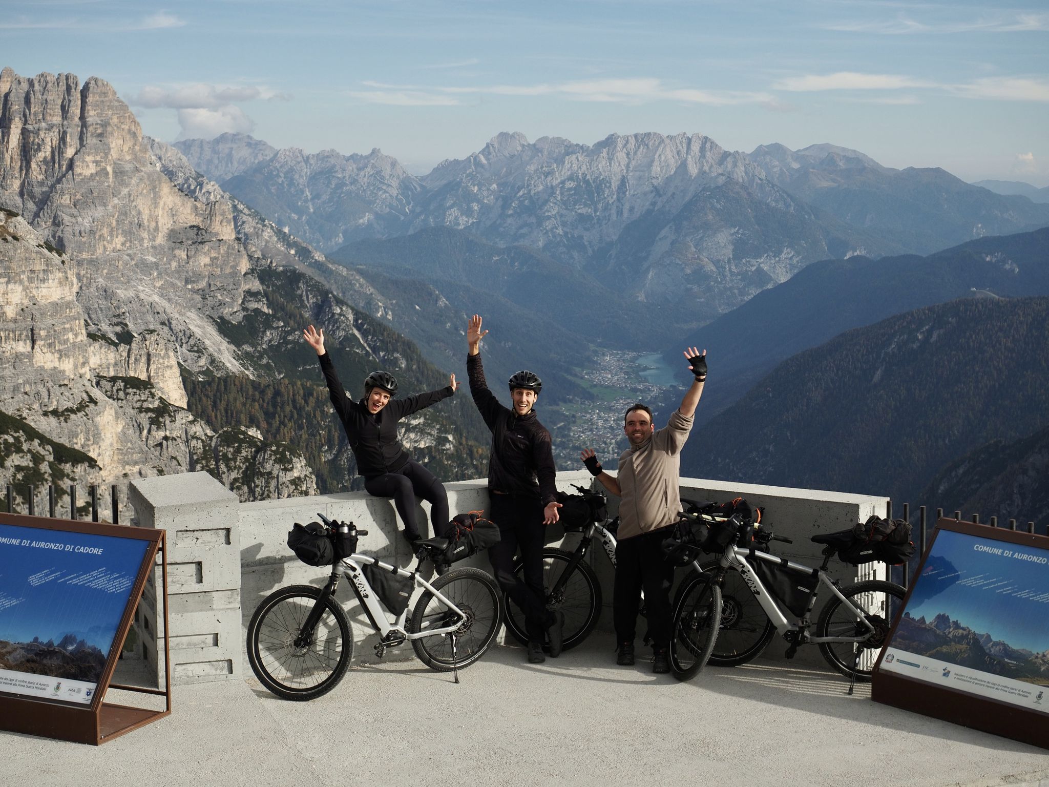
A family adventure – bikepacking through the Dolomites with Belén's brother
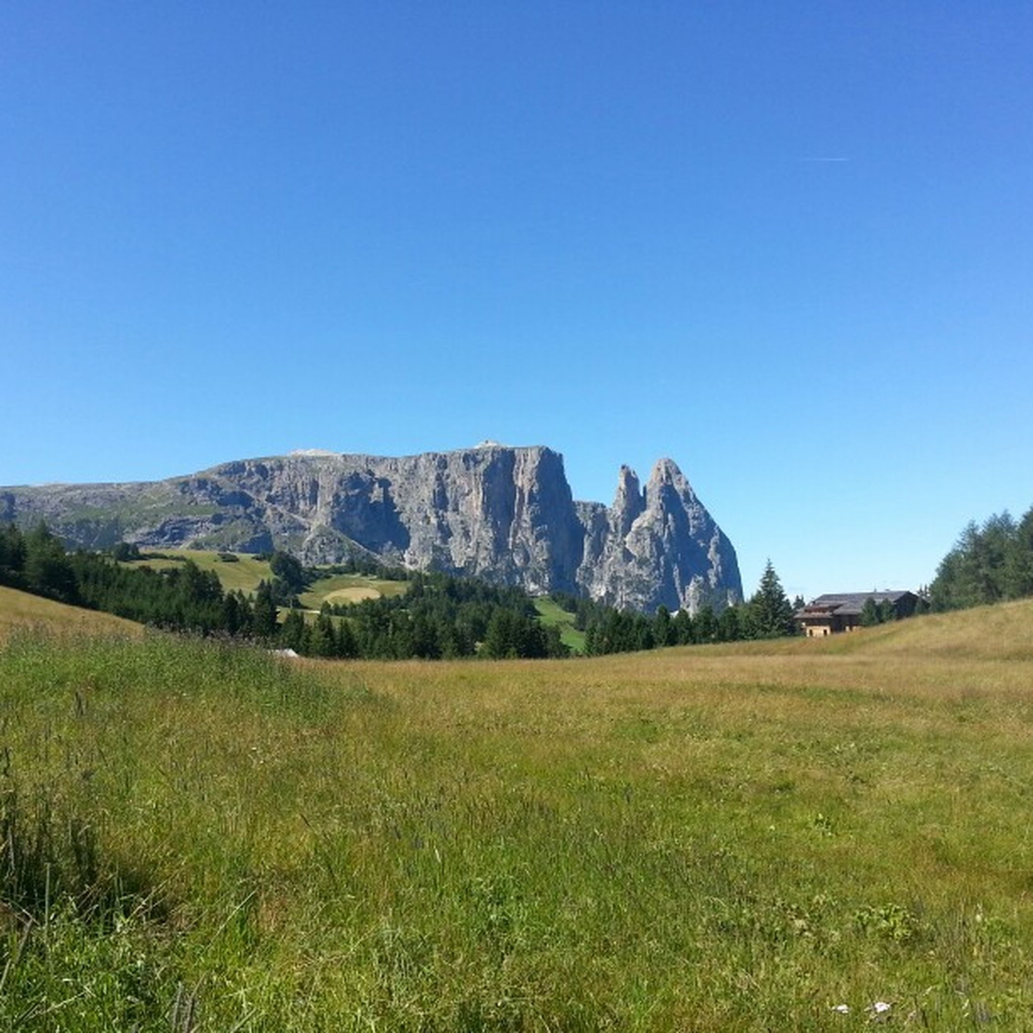
Hiking around Lajen - Laion
Road Cycling Routes around Lajen - Laion
MTB Trails around Lajen - Laion
Cycling around Lajen - Laion

Gravel biking around Lajen - Laion
Mountain Hikes around Lajen - Laion
Other adventures around Lajen - Laion


Tips from the Community

@DakenH: Your AI has been hallucinating here too: "The disused railway embankment... connects the towns of Kastelruth, Seis, and Völs." Oh no, in reality, the railway line in the Eisack Valley only connects the former *train stations* of Kastelruth, Seis, and Völs. In contrast, the towns of Kastelruth, Seis, and Völs themselves lie 600 meters above the valley floor and are only accessible via several kilometers of branching access roads. The reason for this mess is that AI can't read maps and lacks topological knowledge. https://t1p.de/k756r. Komoot would be well advised to filter out AI-generated location information and at least add a warning: "AI-generated, likely faulty."
1
0

These and other beautiful views are offered from the old post trail. The hike is well worth it.
1
0
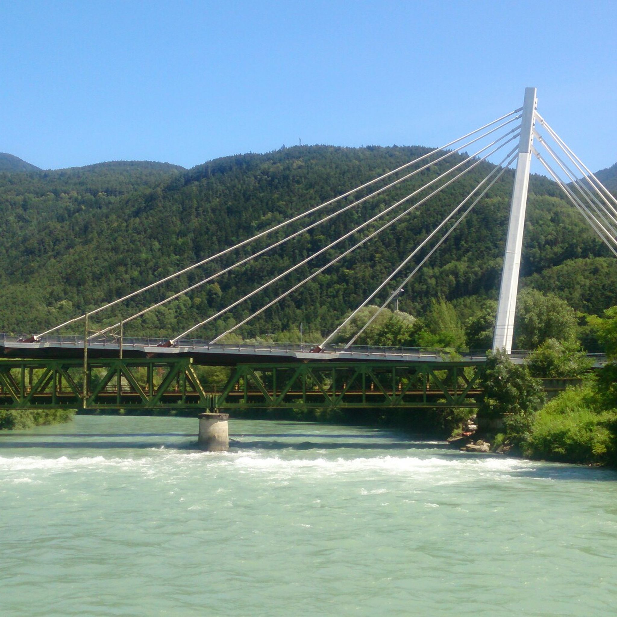
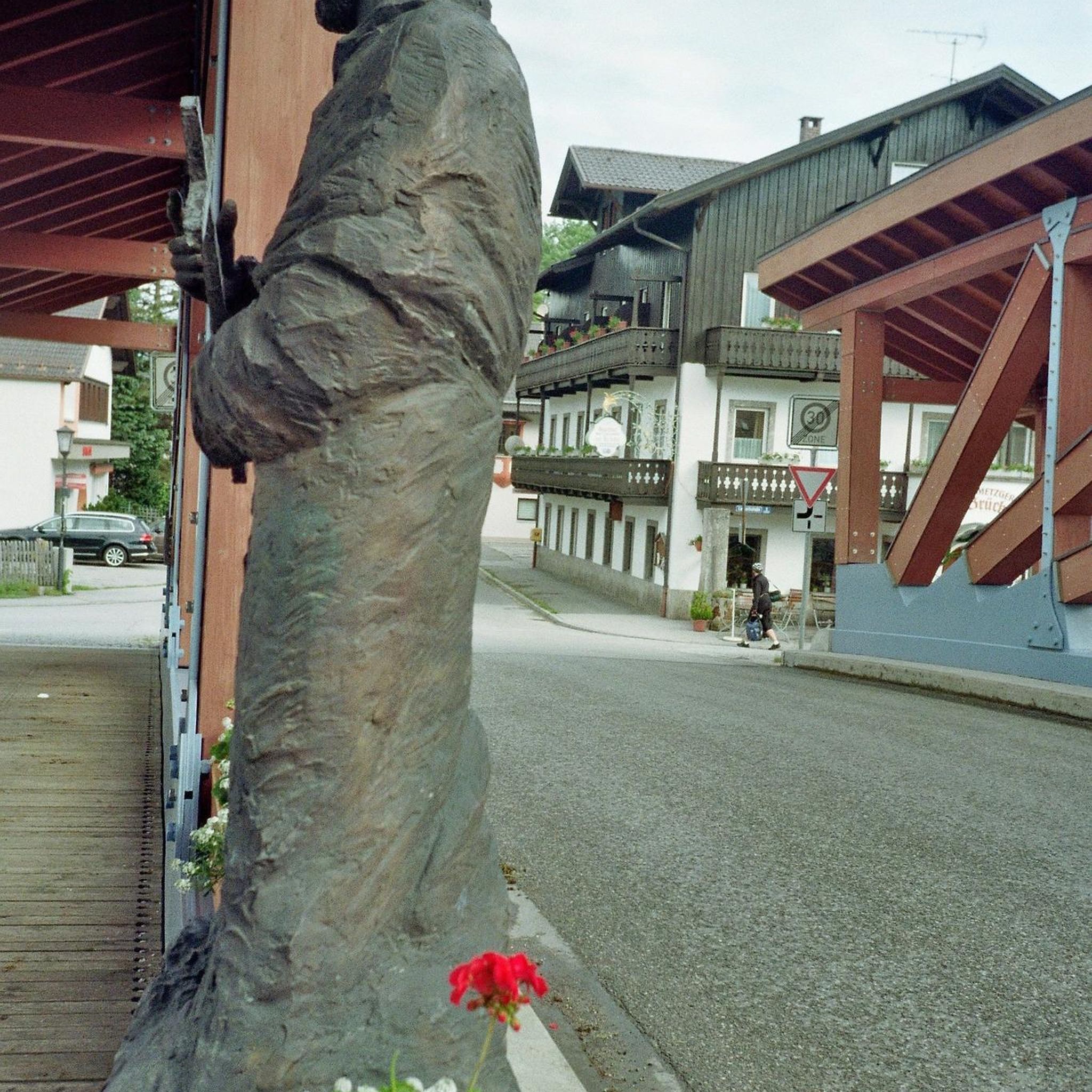
The old wooden bridge near the Törggele inn is in excellent condition and leads to a mountain bike route up to the Seiser Alm. Two more covered wooden bridges over the Eisack river are located further south near Atzwang (3 km) and Steg (6 km).
2
0

Just an old bridge 💁♂️
0
1

Really good location, very affordable and very good service
1
0

The former Kastelruth railway station opened in 1898 and was part of a branch line connecting the Schlern region to the national rail network. Located near the Eisack River, the station served as an important transshipment point for goods and passengers for decades. It was closed in the 1970s, and after the Schlern Tunnel opened in 1994, the railway site lost its original function. The station has since been reconstructed and is now part of a well-developed cycle path that follows the old railway line. Right next to the former station is the so-called Törggele Bridge – a covered wooden bridge built using traditional frame construction. The disused railway embankment has been integrated into a section of South Tyrol's cycle path network and is now part of the South Tyrolean Technology Mile, making it an excellent destination for cycling trips, especially for history buffs. The route offers not only scenic beauty but also insights into the region's transportation history.
3
0

Great view of the monastery and Church of Our Lady.
2
0

Here you can cycle in a relaxed manner
4
2
Frequently Asked Questions
How many running routes are available in Lajen - Laion?
Lajen - Laion offers a vast network of over 470 running routes. This includes a wide range of options, from easy paths to more challenging trails, ensuring there's something for every runner.
What kind of terrain can I expect on jogging trails in Lajen - Laion?
The region provides diverse terrain, from lush forests and expansive alpine meadows to river valleys and paths with dramatic views of the Dolomite peaks. You'll find routes traversing the entrance to Val Gardena, offering a mix of mountainous and valley experiences.
Are there running routes for all fitness levels in Lajen - Laion?
Yes, the area caters to all abilities. There are 15 easy routes perfect for beginners or a relaxed run, 160 moderate trails for those seeking a bit more challenge, and 295 difficult routes for experienced runners looking for a strenuous workout in the mountains.
What do other runners say about the trails in Lajen - Laion?
The running trails in Lajen - Laion are highly regarded by the komoot community, boasting an average rating of 4.5 stars from over 390 reviews. Runners frequently praise the stunning Dolomite views, the variety of terrain, and the well-maintained paths.
Can I find family-friendly jogging paths in Lajen - Laion?
Absolutely. Many of the easier and moderate routes are suitable for families. Paths through alpine meadows and along river valleys offer a pleasant experience for all ages. For a moderate option with great views, consider the View of Laion (Lajen) loop from Lajen - Laion.
Are there any circular running routes in the area?
Yes, many routes in Lajen - Laion are circular, allowing you to start and finish in the same location. A popular moderate circular option is the Cycle Path Along the River loop from Leitach - Coste, which offers a smooth experience.
What scenic viewpoints or landmarks can I see while jogging?
Jogging in Lajen - Laion offers breathtaking views of iconic Dolomite peaks like Peitlerkofel, Geislerspitzen, Schlern, Langkofel, and Plattkofel. You can also explore the vast Alpe di Siusi / Seiser Alm, Europe's largest high-alpine pasture, or discover the Alpe di Siusi Plateau for expansive vistas.
Are there any waterfalls or river trails suitable for running?
Yes, the region features trails that follow rivers, such as sections of the Isarco River Trail. For a scenic highlight, the Flitzer Waterfall is accessible via a short hike that can be integrated into a longer run, offering a refreshing natural feature.
What are some longer, more challenging running options?
For those seeking a significant challenge, Lajen - Laion has 295 difficult routes. A demanding option is the Klausen Old Town – Old Town Klausen / Chiusa loop from Waidbruck-Lajen - Ponte Gardena-Laion, an 18.5 km trail through river valleys and historical sites. Sections of the Dolorama long-distance hiking trail can also be adapted for strenuous runs.
When is the best time of year to go running in Lajen - Laion?
The region is beautiful throughout the seasons. Spring brings meadows full of cherry and apple blossoms, while autumn offers vibrant changing tree colors. Summer provides warm weather for high-alpine runs, and well-maintained paths can be enjoyed in winter, though some higher trails may be inaccessible due to snow.
Are there any historical or cultural trails for runners?
Yes, the Walther von der Vogelweide Trail offers a unique cultural running experience. This trail follows in the footsteps of the medieval minstrel, combining scenic running through diverse terrain, including cobblestone village streets and forest paths, with historical interest.
Where can I find a smooth, well-maintained path for running?
For a smoother jogging experience, the Cycle Path Along the River loop from Leitach - Coste is an excellent choice. This moderate 9.9 km path is well-maintained and often follows a river, providing a comfortable surface for running.
Are there high-alpine running experiences available?
Yes, the Rasciesa high alpine pasture provides various trails, including a beautiful panoramic path to the Brogles Mountain Hut, suitable for those seeking higher elevation and expansive views. The nearby Alpe di Siusi / Seiser Alm also offers extensive high-alpine running opportunities.
Most popular routes around Lajen - Laion
Most popular attractions around Lajen - Laion

Get inspired with the komoot mobile app


Explore more
Browse the best Running Trails & Routes in other regions.
