The best road cycling routes in Sud Sardegna
4.5
(812)
15,307
riders
542
rides
Road cycling routes in Sud Sardegna traverse diverse landscapes, from coastal roads with panoramic sea views to rolling inland hills and areas shaped by mining heritage. The region features a mix of mostly well-paved surfaces, with some routes including more challenging segments. Cyclists can expect varied terrain, including short climbs and descents, alongside traffic-free backroads. This area offers a range of road cycling experiences across its southern Sardinian geography.
Best road cycling routes in Sud Sardegna
- The most popular road cycling route is South Coast Loop, a 30.1 miles (48.4 km) trail that takes 2 hours 25 minutes to complete. This route offers panoramic views of jagged cliffs, white sandy beaches, and ancient Spanish watchtowers.
- Another top favourite among local road cyclists is Tour of the Island of Sant'Antioco from San Giovanni Suergiu, a moderate 41.8 miles (67.3 km) path. This route explores the island's coastal scenery and takes approximately 2 hours 47 minutes.
- Local road cyclists also love the From Iglesias to Nebida along the Gulf of Gonnessa coastline - ring tour, a 45.4 miles (73.1 km) trail leading through the Sulcis-Iglesiente region, often completed in about 3 hours 50 minutes.
- Road cycling in Sud Sardegna is defined by coastal roads, inland hills, and landscapes marked by mining heritage. The network offers options for different ability levels, from easy rides to challenging ascents.
- The routes in Sud Sardegna are highly rated by the komoot community with an average score of 4.5 stars from over 500 reviews. More than 14,000 road cyclists have used komoot to explore Sud Sardegna's varied terrain.
Last updated: October 10, 2026
4.8
(51)
665
riders
48.4km
02:25
620m
620m
Moderate road ride. Good fitness required. Mostly well-paved surfaces and easy to ride.
4.4
(39)
534
riders
67.3km
02:47
390m
390m
Embark on the Tour of the Island of Sant'Antioco from San Giovanni Suergiu, a moderate road cycling adventure that takes you across 41.8 miles (67.3 km) with 1287 feet (392 metres) of elevation gain. This route, typically completed in about 2 hours and 47 minutes, offers a blend of well-paved roads and some unpaved sections that can challenge a racebike. You will experience stunning coastal views as you cycle along cliffsides, with the turquoise Mediterranean Sea always in sight, and pass through salt marshes and hills covered in Mediterranean vegetation.
As you plan your ride, be aware that while the route largely follows secondary roads with minimal traffic, dedicated cycle paths are rare. The topography includes rolling hills and undulating sections, featuring both short, steep climbs and longer, more gradual ascents. This trail is best suited for cyclists with good fitness, given its consistent undulations and varied terrain. You will find opportunities to explore charming villages and pass near historical sites like the Sulky Punic Necropolis and the Ferruccio Barrecca Archaeological Museum, adding a cultural dimension to your ride.
This tour is a unique way to combine sport with culture on Sant'Antioco, an island connected to the mainland by a narrow causeway. It stands out as a relatively undiscovered cycling destination, offering quiet roads and an authentic Sardinian atmosphere. The

4.5
(21)
380
riders
49.8km
02:17
590m
590m
Embark on the Costa Rei, Villasimius, and Castiadas Loop for a moderate road cycling adventure through southeastern Sardinia. This route spans 31.0 miles (49.8 km) and climbs 1950 feet (594 metres), taking about 2 hours and 16 minutes to complete. You will experience a diverse landscape, cycling between the vibrant blue sea and green hills, with views towards Punta Molentis. The trail offers a continuous succession of beautiful beaches, small inlets, and promontories, blending asphalt coastal roads with more secluded inland paths. You will also pass through sections of the Sette Fratelli mountains, offering a comprehensive exploration of the region.
This road cycling loop is considered moderate, but it does require a good level of fitness due to the significant elevation gain. While most of the route is on asphalt, be aware that some variations, especially those using the "old SP20," might include unpaved or gravel sections. Plan your ride to allow for potential stops in charming towns along the way, where you can find refreshments and take a break. Always check local conditions before you head out, especially regarding road surfaces.
This loop provides a unique opportunity to explore the Area Marina Protetta Capo Carbonara, showcasing the natural beauty of southeastern Sardinia. You will encounter ever-changing scenery, from the coast to inland areas, giving you a full picture of the region. The route is notable for combining stunning coastal stretches with challenging inland climbs, making it a rewarding experience for racebike enthusiasts. It offers a comprehensive exploration of the area's diverse terrain.
4.2
(5)
459
riders
80.3km
03:38
910m
910m
Embark on a challenging racebike journey along the Costa del Sud Panoramic Road, stretching from Chia to Porto Pino. This difficult route covers 49.9 miles (80.3 km) and features a significant elevation gain of 2993 feet (912 metres), taking about 3 hours and 38 minutes to complete. As you cycle, you will experience the dramatic Sardinian coastline, with constant ups and downs that offer sweeping views of the Mediterranean Sea and rugged cliffs. Keep an eye out for the golden sands of beaches like Su Giudeu and Tuerredda, which punctuate the scenic ride. The route provides a true test of endurance while immersing you in a beautiful coastal landscape.
Before you set out on this racebike adventure, be aware that the terrain is demanding, with continuous ascents and descents, so a good fitness level is essential. While most of the path is paved, you might encounter some unpaved sections that add to the difficulty. It is wise to consider the seasonal weather conditions along the Teulada coast, as they can significantly impact your ride experience. Plan your start time to avoid the hottest parts of the day, especially during summer months.
This route stands out for its unique position on the southern coast of Sardinia, offering glimpses of islands like Isola Rossa and the prominent Capo Teulada. The Costa del Sud Panoramic Coastal Road is renowned for its natural beauty, showcasing a diverse ecosystem where the land meets the sea. You will find yourself surrounded by a landscape that feels wild and untouched, making it a memorable ride for those who appreciate coastal wilderness.
4.9
(14)
271
riders
73.1km
03:50
1,310m
1,310m
Embark on a challenging road cycling journey with the Iglesiente Mining Coast Loop, a difficult route spanning 45.4 miles (73.1 km). You will climb 4301 feet (1311 metres) over approximately 3 hours and 50 minutes, experiencing continuous sea views along the dramatic Gulf of Gonnesa coastline. As you pedal, you will encounter a unique blend of natural beauty and historical industrial archaeology, with sights like the iconic Pan di Zucchero sea stack visible from viewpoints such as Masua. This trail offers a distinctive atmosphere, combining rugged coastal scenery with remnants of a rich past.
Planning your ride requires preparation for a demanding experience; some segments might be unpaved, potentially requiring you to push your bike. Exercise caution with vehicular traffic, particularly when crossing the SP84 near Iglesias and as you enter Nebida. Additionally, be alert on some wide roadways that can be exposed to the elements. Ensure you are well-prepared for the physical demands and varying road conditions.
This loop immerses you in the rich mining history of the Sulcis Iglesiente region, traversing the stunning Parco Geominerario Storico Ambientale della Sardegna. You will pass historical mining structures and ride through settlements like Buggerru, offering a deep dive into the area's heritage. The route stands out for its compelling combination of coastal vistas and significant industrial archaeology, making it a notable exploration of Sardinia's past and present.
4.5
(11)
158
riders
85.0km
03:54
970m
970m
Embark on a challenging road cycling adventure with the To the Laguna di Merceddì from Gonnusfanadiga — ring tour. This difficult route covers 52.8 miles (85.0 km) and features a significant elevation gain of 3176 feet (968 metres), taking approximately 3 hours and 53 minutes to complete. As you ride, you will experience diverse scenery around the Laguna di Marceddì, a beautiful lake in Oristano, with views of the lagoon and a nearby pine forest.
Before you set out, be aware that while many cycling routes in this area are well-paved, some sections on challenging rides might be unpaved and difficult, potentially requiring you to push your bike. Given the route's difficult rating and substantial climbing, ensure you are well-prepared for varied terrain and conditions. This ride is best suited for experienced cyclists looking for a demanding journey.
This route offers a unique opportunity to observe aquatic birds like purple herons and mallards nesting among the reed beds, especially around the Stagno di San Giovanni. The Laguna di Marceddì itself originated from a marine inlet, adding an interesting geological context to your ride. It's a chance to connect with the natural environment and its wildlife while enjoying a rigorous cycling experience.
97
riders
67.9km
03:34
1,260m
1,260m
Embark on a challenging road cycling adventure with the From San Vito to Villasalto ring tour, a difficult route designed for those with very good fitness. This 42.2-mile (67.9 km) journey through the Geomineral Park of Sardinia features a substantial 4150 feet (1265 metres) of elevation gain, promising demanding climbs and varied terrain. You will cycle through diverse landscapes, from Mediterranean forests with ilex and cork trees to rugged peaks and dense woodlands, all while experiencing the wild, hilly interior of Sardinia. Keep an eye out for the mining cart in Villasalto, a visual anchor to the region's rich industrial past.
Planning your ride requires acknowledging the route's unique characteristics. While primarily a road cycling trail, some segments may be unpaved and difficult to ride, potentially requiring you to dismount and push your bike. This adds an adventurous, mixed-terrain element to what is otherwise a hard road ride. The estimated duration for this loop is around 3 hours and 34 minutes, so be sure to start early enough to complete it comfortably before dusk. Always check local conditions before heading out, especially regarding any potential closures or specific access requirements within the Geomineral Park.
This route is notable for its integration within the Geomineral Park of Sardinia, offering a unique blend of challenging cycling and historical exploration. As you navigate the long climbs and varied topography, you will pass through areas that tell the story of the island's mining heritage, with the mining cart in Villasalto serving as a direct link to the abandoned Su Suergiu mine. The trail highlights Sardinia's reputation for diverse landscapes and a rich historical tapestry, providing a more adventurous experience than typical paved road rides.
4.7
(10)
67
riders
31.5km
01:27
290m
280m
This easy road cycling ring tour, "Sea and mountains from Costa Rei," offers a diverse ride over 19.6 miles (31.5 km) with a gentle elevation gain of 949 feet (289 metres), typically taking about 1 hour and 27 minutes. You'll experience a beautiful blend of coastal and mountainous landscapes, riding on mostly well-paved surfaces. Expect spectacular coastal views, including pristine white beaches and turquoise waters as you pass coves like Cala Pira and Punta Molentis. The route also brings you close to the granite spur of Capo Ferrato and lagoons such as Feraxi and Colostrai, known for birdwatching. This makes for an enjoyable and accessible ride for all fitness levels.
Since the Costa Rei region is a popular tourist destination, you might find the roads busier during peak season. To fully enjoy the quiet stretches and coastal scenery, consider starting your ride early in the morning or later in the afternoon. While the research doesn't specify a trailhead, the ring tour nature suggests you can begin and end at various points around Costa Rei. Always check local conditions before heading out, especially regarding traffic or any seasonal events that might affect your ride.
What makes this route special is its unique combination of Sardinia's stunning coastline and its interior mountainous beauty. You get to cycle through diverse natural settings, from the sparkling turquoise waters and white beaches to the tranquil lagoons and glimpses of the Monti dei Sette Fratelli park. The opportunity to ride on roads with minimal traffic, particularly outside the main towns, enhances the experience, allowing you to immerse yourself in the varied scenery. This trail truly captures the essence of the region's natural charm.
4.5
(4)
86
riders
63.2km
03:16
1,130m
1,130m
Embark on The Road of the Three Springs from Dolian, a challenging racebike route that winds through the natural beauty of the Provincia del Sud Sardegna. This demanding ride covers 39.3 miles (63.2 km) and features a significant elevation gain of 3696 feet (1126 metres), offering diverse views as you climb and descend. You can expect to complete this difficult journey in about 3 hours and 16 minutes, with the Mitza de Sa Teula Spring serving as a notable visual landmark along the way.
This route is rated difficult, so you will need a very good level of fitness and cycling experience to tackle its climbs and descents. The starting point is conveniently located near a parking area, making access straightforward for your ride. Be prepared for some sections that might be rougher than expected, potentially requiring you to push your bike due to the challenging terrain.
The trail's name, The Road of the Three Springs, hints at the natural water features you will encounter, such as the Mitza de Sa Teula Spring, which are integral to the route's character. This journey offers a unique opportunity to experience the rugged landscapes of southern Sardinia, making it a memorable ride for those seeking a true test of endurance and a connection with nature.
5.0
(4)
68
riders
35.9km
01:50
530m
530m
Embark on a moderate racebike tour around San Pietro Island, covering 22.3 miles (35.9 km) with 1751 feet (534 metres) of elevation gain. This route, which takes about 1 hour and 49 minutes, starts in Carloforte and leads you through varied landscapes. You will cycle through shaded forested areas before the terrain becomes rockier and more open as you approach the island's western side. The highlight is the Capo Sandalo lighthouse, offering views of the rocky coast, and you will also pass picturesque spots like Cala Fico and the distinctive pink Bue Marino Cliffs.
Your journey begins in Carloforte, a charming town known for its narrow streets and colorful houses. The trail is generally considered moderate, demanding good fitness due to its hilly nature and some steep sections. While most of the main roads are well-paved, be aware that some segments might be unpaved, potentially requiring you to push your bike. This route is often part of a larger loop around the island, giving you a good sense of its diverse terrain.
San Pietro Island is celebrated for its natural beauty, featuring beautiful coves with crystal clear waters and cliffs overlooking the sea, where rare birds like the Queen's Falcon nest. Carloforte itself is a historically rich town, recognized as one of "The most beautiful villages in Italy." It stands out as a unique Ligurian enclave in Sardinia, known for its distinct cultural identity, dialect, and famous bluefin tuna cuisine. The route also passes by natural oases, such as the LIPU natural oasis near Cala Fico.
Get access to more routes and recommendations from other explorers.
Already have an account?
Our route recommendations are based on thousands of hikes, rides, and runs completed by other people on komoot.
Start today with a free account
Your next adventure awaits.
Popular around Sud Sardegna
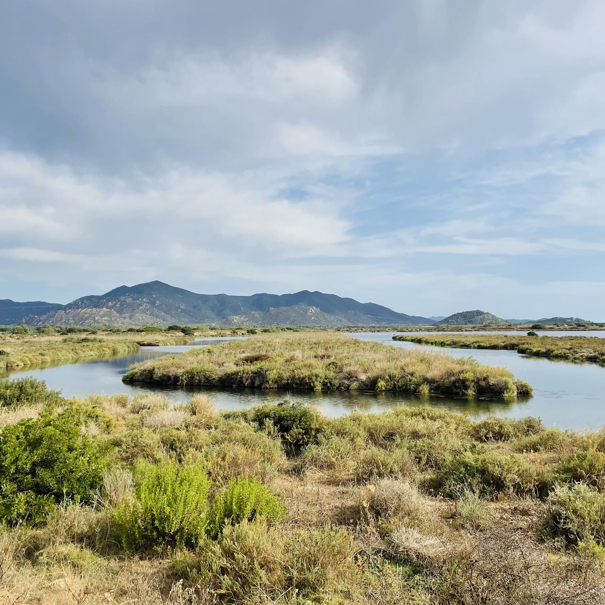
Road Cycling Routes around Murera/Muravera
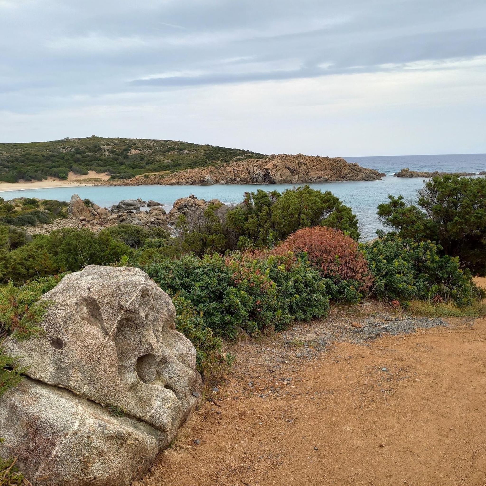
Road Cycling Routes around Domus De Maria
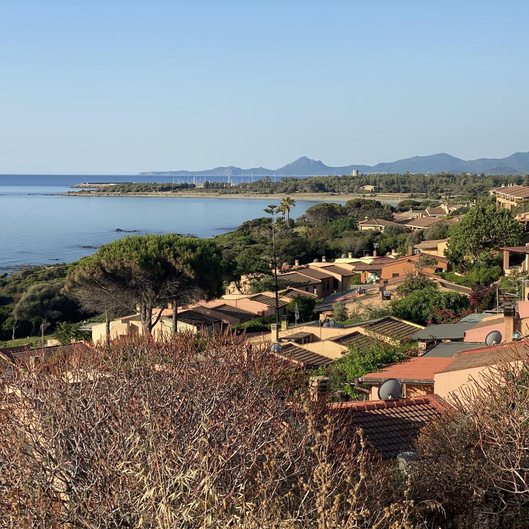
Road Cycling Routes around Biddeputzi/Villaputzu
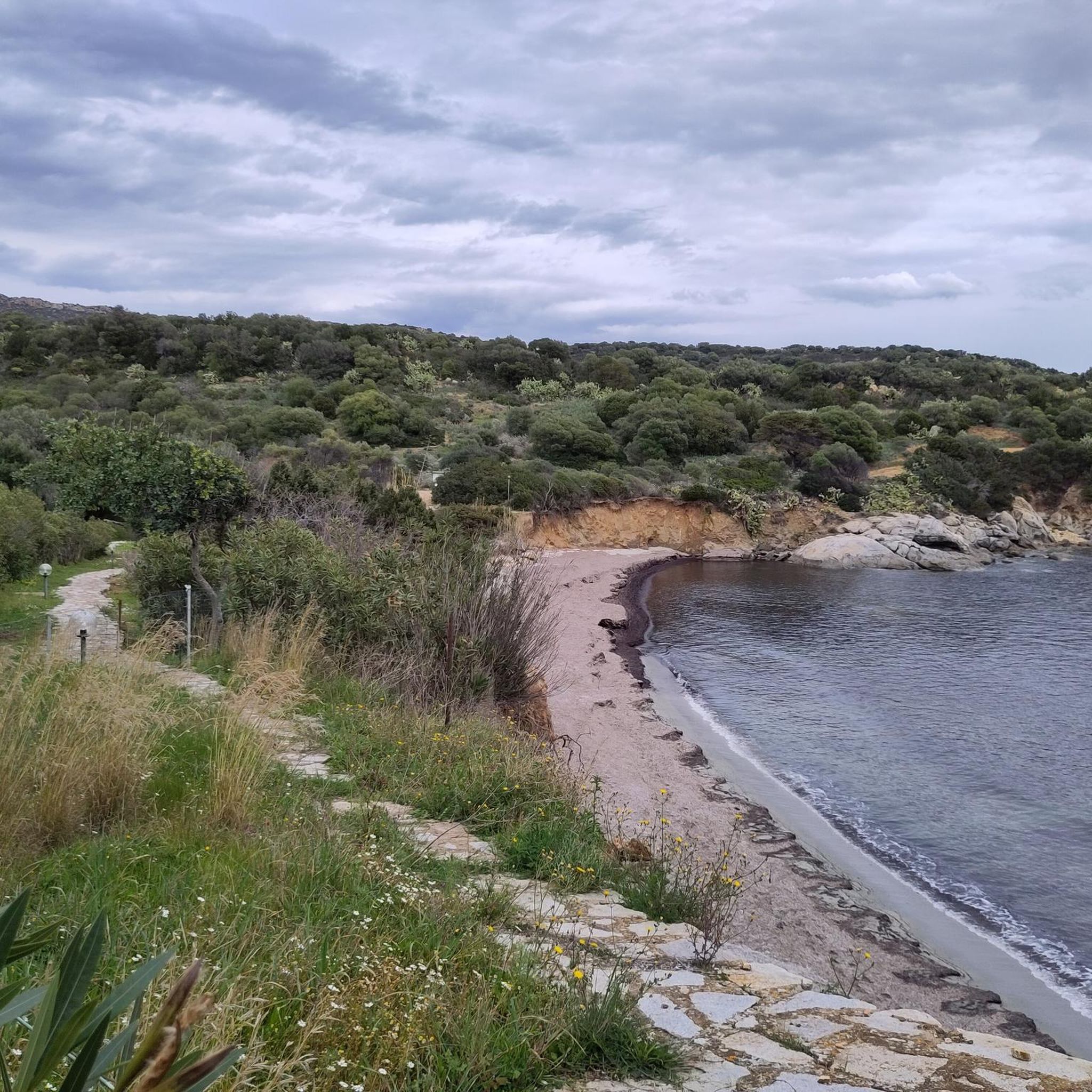
Road Cycling Routes around Crabonaxa/Villasimius
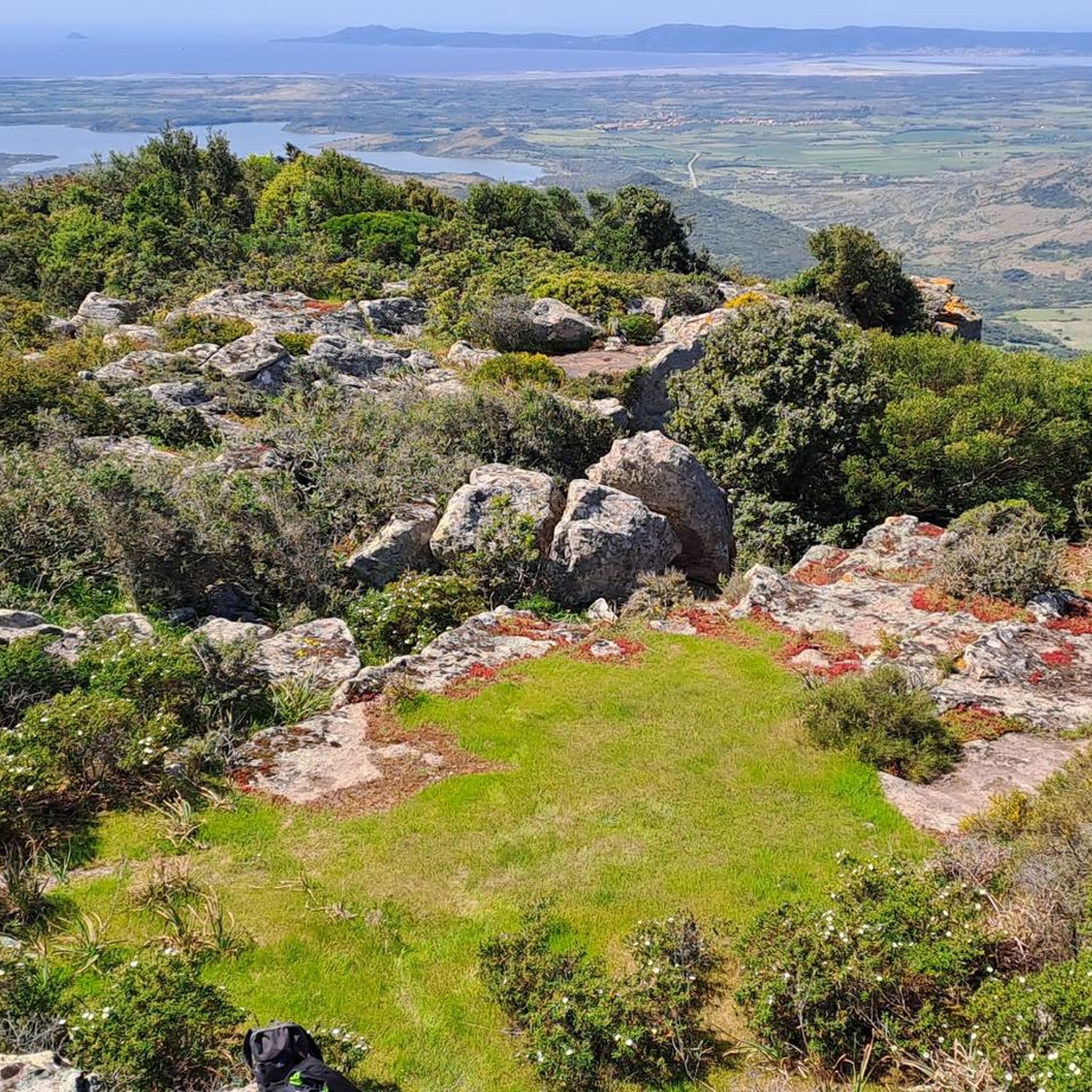
Road Cycling Routes around Perdaxius
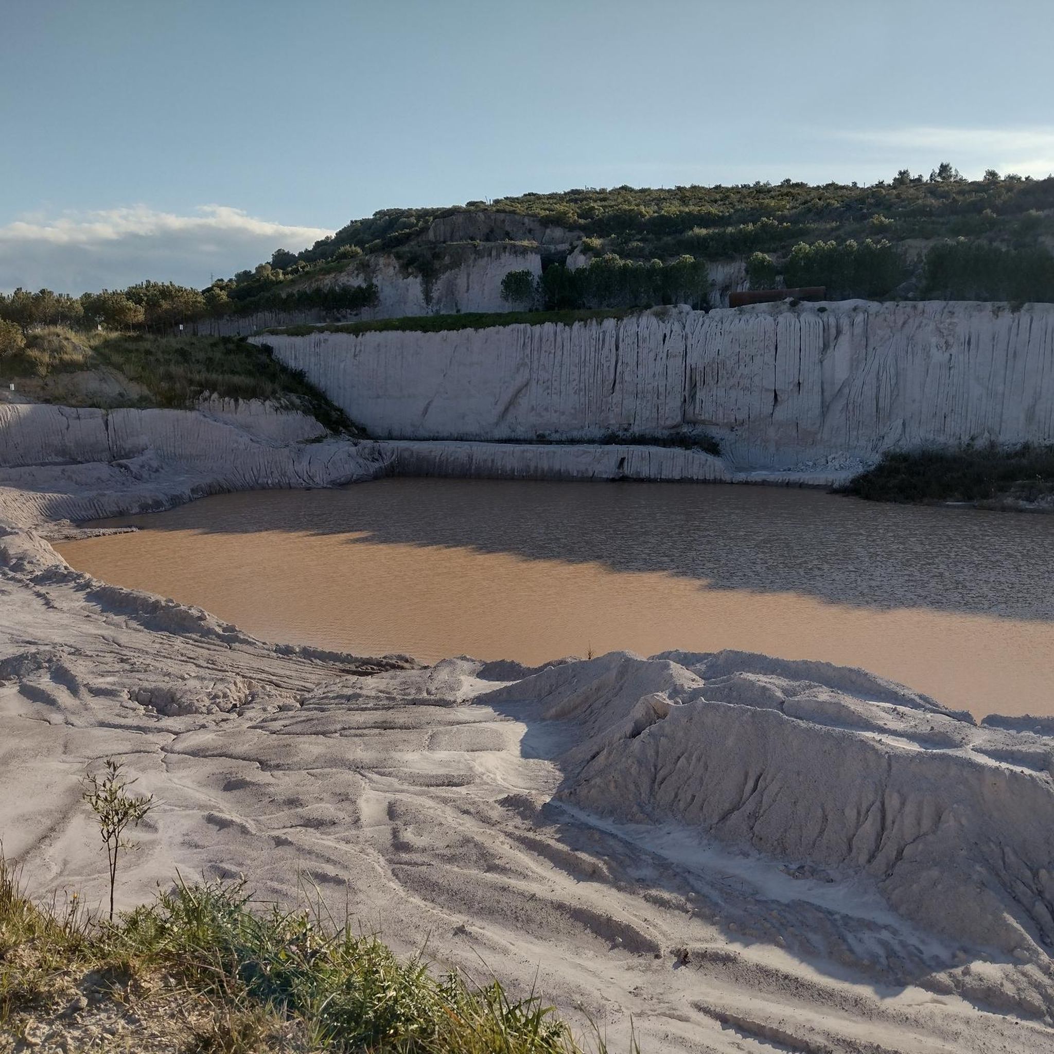
Road Cycling Routes around Santu Giuanni Suèrgiu/San Giovanni Suergiu
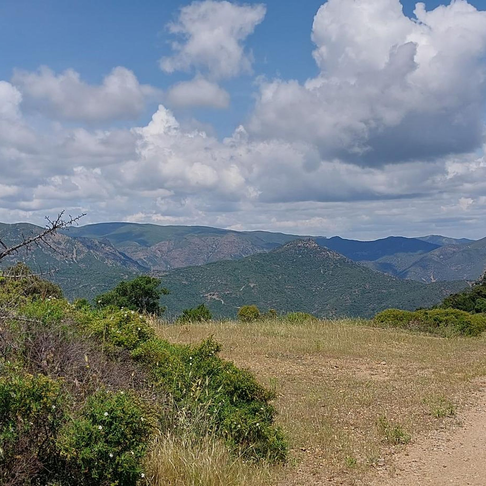
Road Cycling Routes in Cantiere Forestale Rio Molas Baccu Arrodas
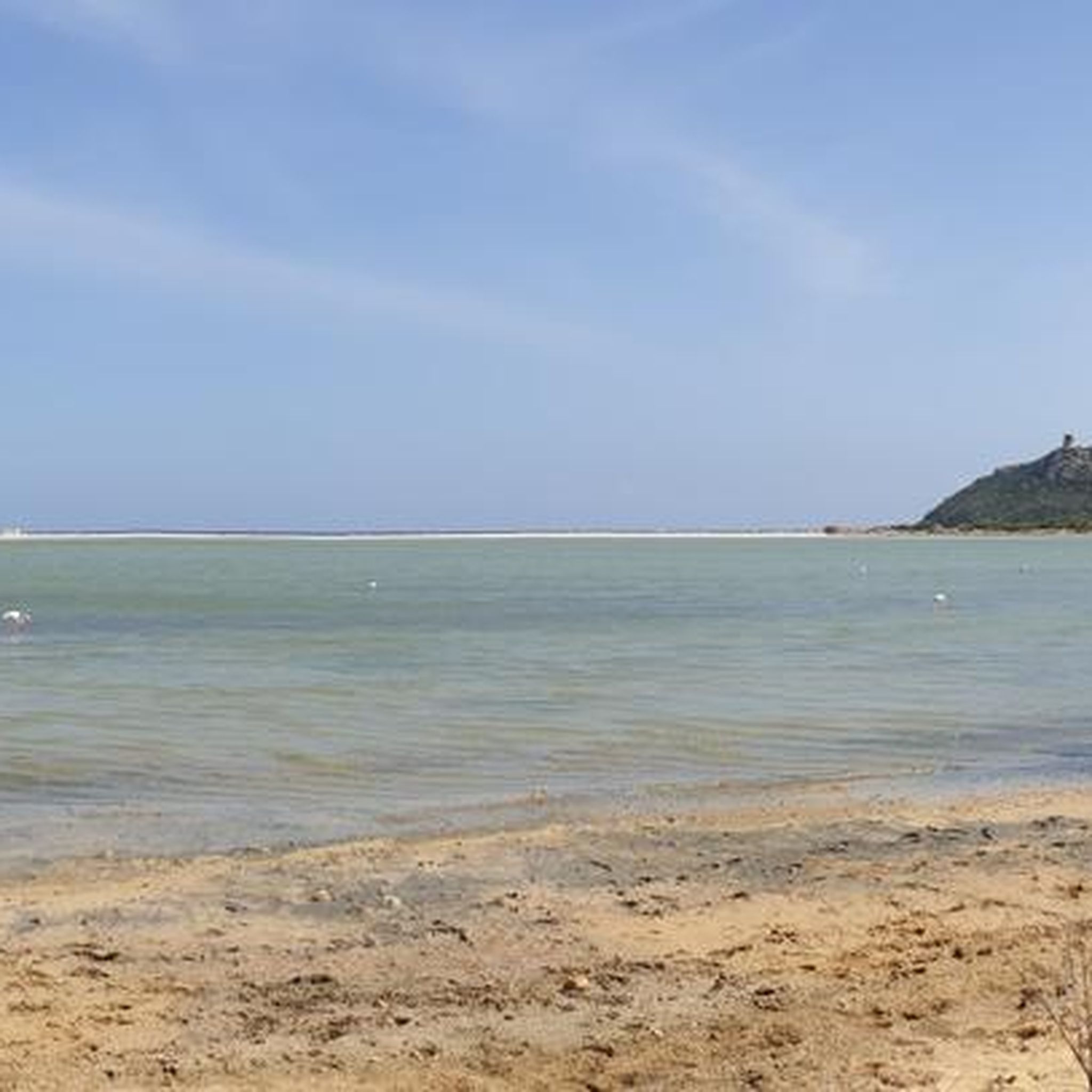
Road Cycling Routes around Stagno Notteri
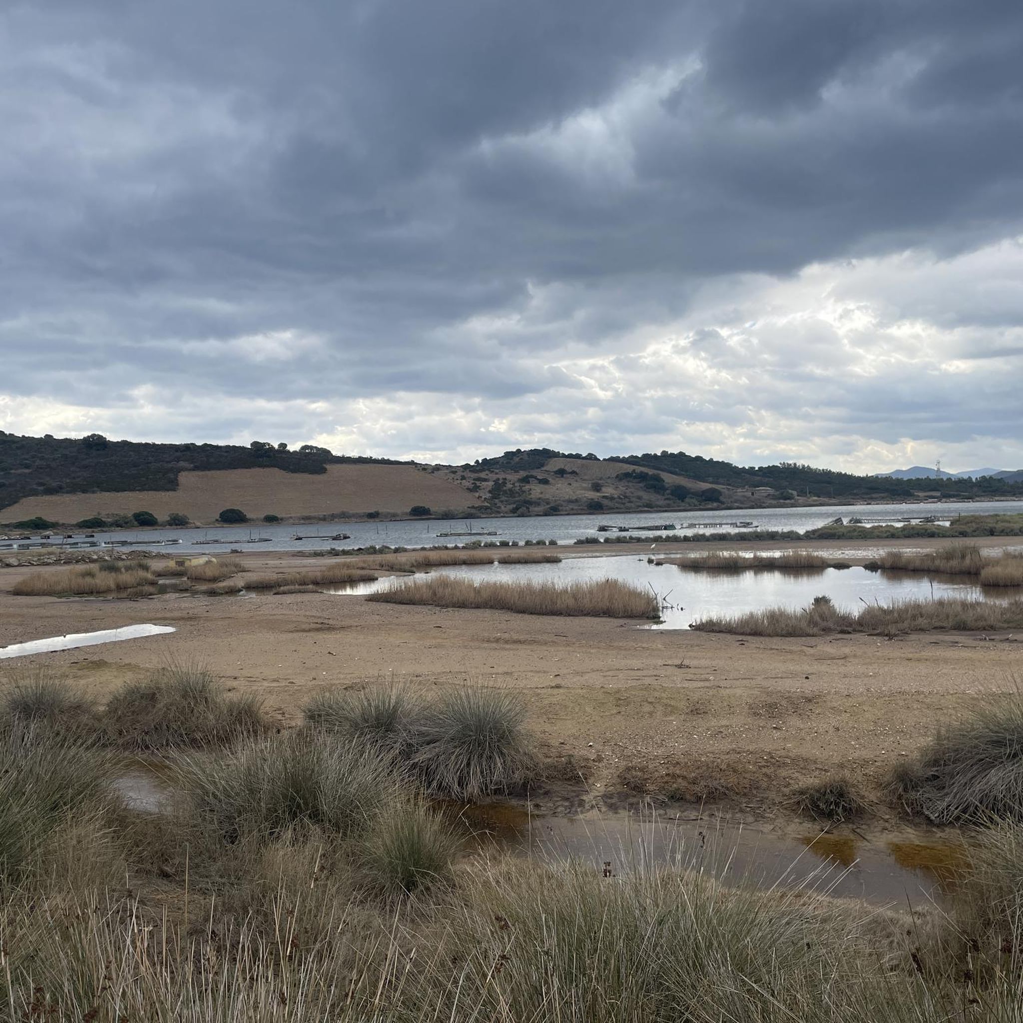
Road Cycling Routes in Sic “Foce Del Flumendosa – Sa Praia”
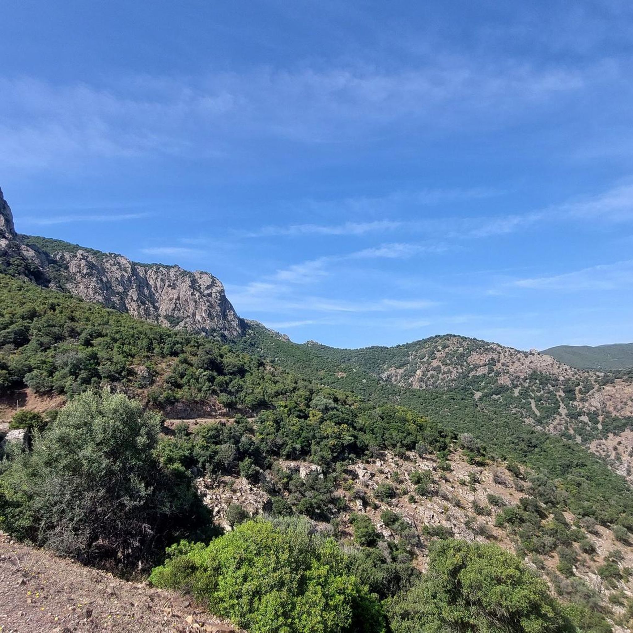
Road Cycling Routes in Cantiere Forestale Gennargiolas Minderrì
Other adventures in Sud Sardegna


Tips from the Community

Carloforte, still closely linked to Pegli and Genoa, is the island's only center, with 6,000 inhabitants. It enchants with its many narrow streets rising up a gentle slope, its colorful corners and sea views, its small harbor, and its former defenses, of which watchtowers and sections of walls with forts can still be seen, including La Porta del Leone. Among the architectural highlights of this town, which is included in the Club of the Most Beautiful Towns in Italy, are U Palassiu, dating from the early 20th century and now the Giuseppe Cavallera Cinema, and the Church of the Madonna del Naufrago, which houses the wooden statue venerated by the Tabarkin people, a symbol of the faith and solidarity of the community.
6
0

Looks like it's good drinking water because locals load their cars with it
0
0


Great place to fill your water bottle
0
0

The language of the Tabarchians essentially corresponds to the Ligurian language of the 15th century. Through personal and trade connections - both from Tunisia and from the island of San Pietro - it has developed just as much as the actual Ligurian and Genoese languages. Due to its geographical location, the port of Carloforte was of considerable importance in shipping and as a transshipment point for medium tonnage until the beginning of the 19th century. Carlofortine Ligurian preserves some nouns and rare grammatical forms that only occur in the outdated Genoese. It does not contain any Gallicisms that Genoese has adopted in recent centuries; for example, the accent (còccina) is typical of Pegli and not of pure Genoese. Only a few nouns from Sardinian, Arabic and Tuscan can be identified as external influences. More than 80 percent of the population still speak this dialect in everyday life today. The architecture, culture, customs and traditions of Carloforte still correspond to those of Liguria. Due to its historical, economic and cultural ties with the Ligurian capital, especially with Pegli, Carloforte was recognized as an honorary municipality of the province of Genoa on November 10, 2004. In 2006, the neighboring municipality of Calasetta received the same honor. Carloforte celebrates twin festivities with Pegli every year.
2
0
In 1542, the inhabitants of Pegli and the neighbouring communities left their home on the Ligurian coast in the wake of the Lomellini, a powerful trading family from Pegli and Genoa, and settled on the island of Tabarca off the coast of Tunisia, where they dived for coral until 1735. When coral mining and thus the tribute to the Lomellini continued to decline and was no longer profitable for all sides, and the conflicts with the Muslims intensified, King Charles Emmanuel III of Savoy, on the initiative of the Piedmontese architect Augusto de la Vallée, made the offer to settle the still uninhabited island of San Pietro. A part of the Tabarchini under the leadership of Agostino Tagliafico accepted the offer and settled on the island off Sardinia in 1738. In honour of the king, they named the new place Carloforte ("Charles the Strong"). Over time, other emigrant families arrived directly from Liguria and helped to strengthen the small, thriving community. In 1798, Carloforte was attacked by pirates and around 900 inhabitants were captured and held as slaves in Tunis; one of them became the mother of Bey Ahmad I al-Husain. After five years, they were finally ransomed. The parts of the old city walls and the fortress that still remain today are evidence of this barbarian invasion. The population, also known as the Tabarchines because of their origins, united the towns of Carloforte on the island of San Pietro and the neighboring community of Calasetta on the nearby island of Sant'Antioco. A smaller part of the emigrants from Tabarca headed towards the Spanish coast to Alicante and founded the town of Nueva Tabarca there. Although this colony retained some of the original surnames, it was absorbed by the Spanish-speaking community in terms of language and customs. The Tabarchini are scattered all over the world, mainly in Genoa, on the Ligurian coast, in Gibraltar, in Boca near Buenos Aires and in other port cities. They are estimated to number 18,000 people in total.
3
0
Carloforte (Ligurian: U Pàize) is an Italian municipality in the province of Sulcis Iglesiente in the Autonomous Region of Sardinia. It essentially comprises the island of San Pietro about 10 km off the southwest coast of Sardinia and some other insignificant islets of the Sulcis archipelago. The small town with 5983 inhabitants (as of December 31, 2022) is the only settlement on the island of San Pietro.
3
0

Frequently Asked Questions
How many road cycling routes are available in Sud Sardegna?
Sud Sardegna offers a wide selection of road cycling routes, with over 500 options available on komoot. These routes cater to various preferences, from leisurely coastal rides to challenging inland ascents.
Are there road cycling routes suitable for beginners in Sud Sardegna?
Yes, Sud Sardegna has numerous routes suitable for beginners. There are over 80 easy road cycling routes available, offering gentler terrain and shorter distances. An example of an easy route is the Sea and mountains from Costa Rei – ring tour, which provides a pleasant ride with manageable elevation.
Where can I find more challenging road cycling routes in Sud Sardegna?
For experienced cyclists seeking a challenge, Sud Sardegna features over 140 difficult routes. These often include significant elevation gains and longer distances. Routes like From Iglesias to Nebida along the Gulf of Gonnessa coastline - ring tour or From San Vito to Villasalto in the Geomineral Park of Sardinia — ring tour offer demanding climbs and rewarding views.
What kind of landscapes can I expect while road cycling in Sud Sardegna?
Road cycling in Sud Sardegna offers incredibly diverse landscapes. You can expect stunning coastal roads with panoramic sea views, rolling inland hills, and areas rich in mining heritage. The terrain constantly changes, featuring everything from intimate coves and large sandy dunes to historical sites and lush natural parks.
Are there specific routes that offer stunning coastal views?
Absolutely. Sud Sardegna is renowned for its breathtaking coastal routes. The South Coast Loop is a prime example, offering panoramic views of jagged cliffs, white sandy beaches, and ancient Spanish watchtowers. Another scenic option is the route From Chia to Porto Pino along the seaside of the municipality of Teulada.
Can I explore the region's mining heritage by road bike?
Yes, the inland areas of Sud Sardegna offer routes that delve into the region's rich mining heritage. The Sulcis-Iglesiente region, in particular, features old industrial archaeology and ghost towns. The From Iglesias to Nebida along the Gulf of Gonnessa coastline - ring tour is an excellent way to experience this unique landscape.
Are there many circular road cycling routes in Sud Sardegna?
Many of the road cycling routes in Sud Sardegna are designed as circular tours, allowing you to start and end in the same location. Examples include the popular South Coast Loop, the Ring tour from Costa Rei to Villasimius, and the To the Laguna di Merceddì from Gonnusfanadiga — ring tour.
What natural attractions or landmarks can I see near the road cycling routes?
Sud Sardegna is rich in natural attractions. Near many routes, you can find impressive geological formations and historical sites. For example, you might encounter caves like San Giovanni Cave or Su Mannau Cave. The region also features unique coastal formations such as Pan di Zucchero and Masua stacks.
What is the best time of year for road cycling in Sud Sardegna?
The shoulder seasons, particularly spring (April-May) and autumn (September-October), are generally considered the best times for road cycling in Sud Sardegna. During these months, the weather is pleasant, temperatures are moderate, and the landscapes are vibrant. Summers can be very hot, especially inland, while winters are mild but can bring more unpredictable weather.
What do other cyclists say about road cycling in Sud Sardegna?
The road cycling experience in Sud Sardegna is highly rated by the komoot community, with an average score of 4.5 stars from over 500 reviews. Cyclists often praise the region's diverse terrain, stunning coastal views, and the opportunity to explore both natural beauty and historical sites. Over 14,000 road cyclists have used komoot to discover the area.
Are there any family-friendly road cycling options in Sud Sardegna?
While many road cycling routes are designed for more experienced riders, families can find suitable options among the easier routes available. These typically feature less elevation and are shorter in distance, allowing for a more relaxed pace. Always check the route details for distance and elevation to ensure it matches your family's fitness level.
Is parking readily available near road cycling starting points in Sud Sardegna?
In many towns and villages that serve as starting points for road cycling routes, you can generally find public parking. Coastal areas and popular tourist spots may have designated parking lots, though these can fill up during peak season. It's advisable to check specific starting locations for parking availability, especially for routes beginning in smaller, more remote areas.
Most popular routes in Sud Sardegna
Most popular attractions in Sud Sardegna

Get inspired with the komoot mobile app


Didn’t find what you were looking for?
Check out more Road cycling routes throughout Sud Sardegna below and find the perfect route in your destination.
Explore more
Browse the best Road cycling routes in other regions.
