The best road cycling routes around Montereale Valcellina
4.6
(116)
3,140
riders
28
rides
Road cycling routes around Montereale Valcellina are situated in the Friuli-Venezia Giulia region, at the foot of the Alpine area. The terrain features the Valcellina Valley, surrounded by hills and mountains that offer varied elevation profiles for road cyclists. The region combines natural landscapes with historical and archaeological sites, providing diverse cycling experiences.
Best road cycling routes around Montereale Valcellina
- The most popular road cycling route is Bridge over the Meduna in Navarons – Lake Tramonti loop from Montereale Valcellina, a 52.5 miles (84.5 km) trail that takes 4 hours 25 minutes to complete. This difficult route features significant elevation gain and views of Lake Tramonti.
- Another top favourite among local road cyclists is Ravedis Bridge – Cellina Bridge loop from Montereale Valcellina, a moderate 35.0 miles (56.4 km) path. This route offers varied terrain and passes by the Ravedis Dam.
- Local road cyclists also love the Ravedis Bridge – Cellina Bridge loop from Malnisio / Malnîs, a 11.7 miles (18.9 km) trail leading through the local landscape, often completed in about 49 minutes.
- Road cycling around Montereale Valcellina is defined by Alpine foothills, the Valcellina Valley, and surrounding hills. The network offers options for different ability levels, from easy rides to challenging climbs.
- The routes in Montereale Valcellina are highly rated by the komoot community with an average score of 4.6 stars from more than 30 reviews. More than 900 road cyclists have used komoot to explore Montereale Valcellina's varied terrain.
Last updated: May 25, 2026
5.0
(1)
91
riders
128km
06:43
2,270m
2,270m
Hard road ride. Very good fitness required. Mostly well-paved surfaces and easy to ride.
5.0
(2)
66
riders
56.4km
02:25
370m
370m
Moderate road ride. Good fitness required. Mostly well-paved surfaces and easy to ride.

Sign up for free
3.0
(1)
59
riders
55.8km
02:54
950m
950m
Hard road ride. Very good fitness required. Mostly well-paved surfaces and easy to ride.
58
riders
92.4km
04:17
1,060m
1,060m
Hard road ride. Very good fitness required. Mostly well-paved surfaces and easy to ride.
5.0
(3)
71
riders
78.9km
04:02
1,310m
1,310m
Hard road ride. Very good fitness required. Mostly well-paved surfaces and easy to ride.
Get access to more routes and recommendations from other explorers.
Sign up for free
Already have an account?
Our route recommendations are based on thousands of hikes, rides, and runs completed by other people on komoot.
Start today with a free account
Your next adventure awaits.
Login or Signup
Popular around Montereale Valcellina
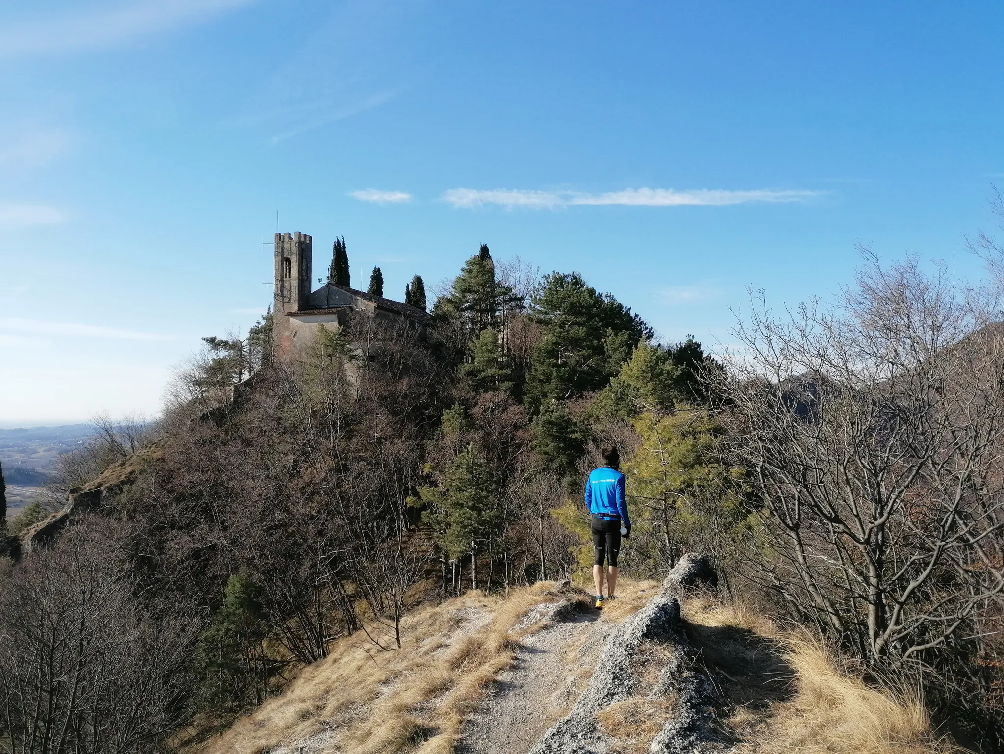
800 years of history from Gemona to Padua – Cammino di Sant'Antonio
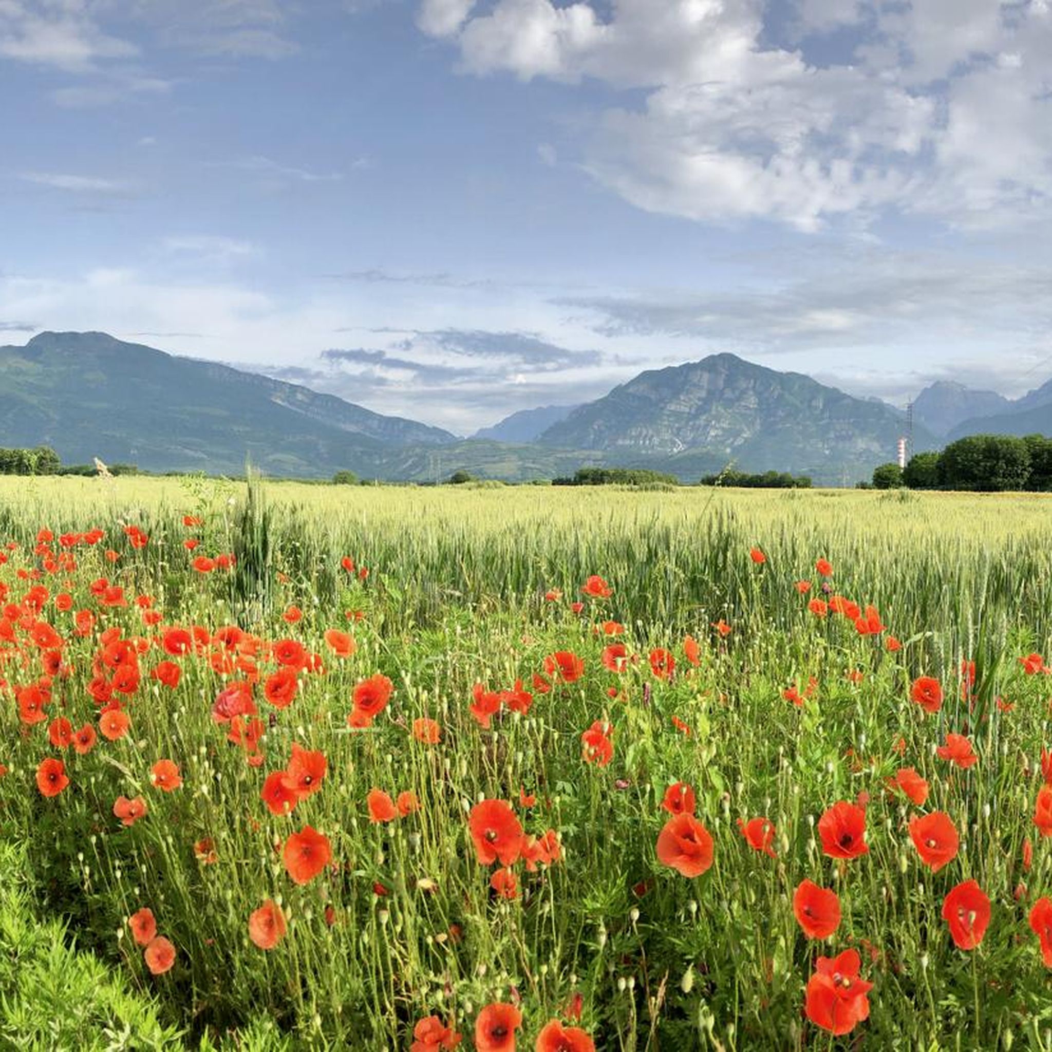
Hiking around Montereale Valcellina
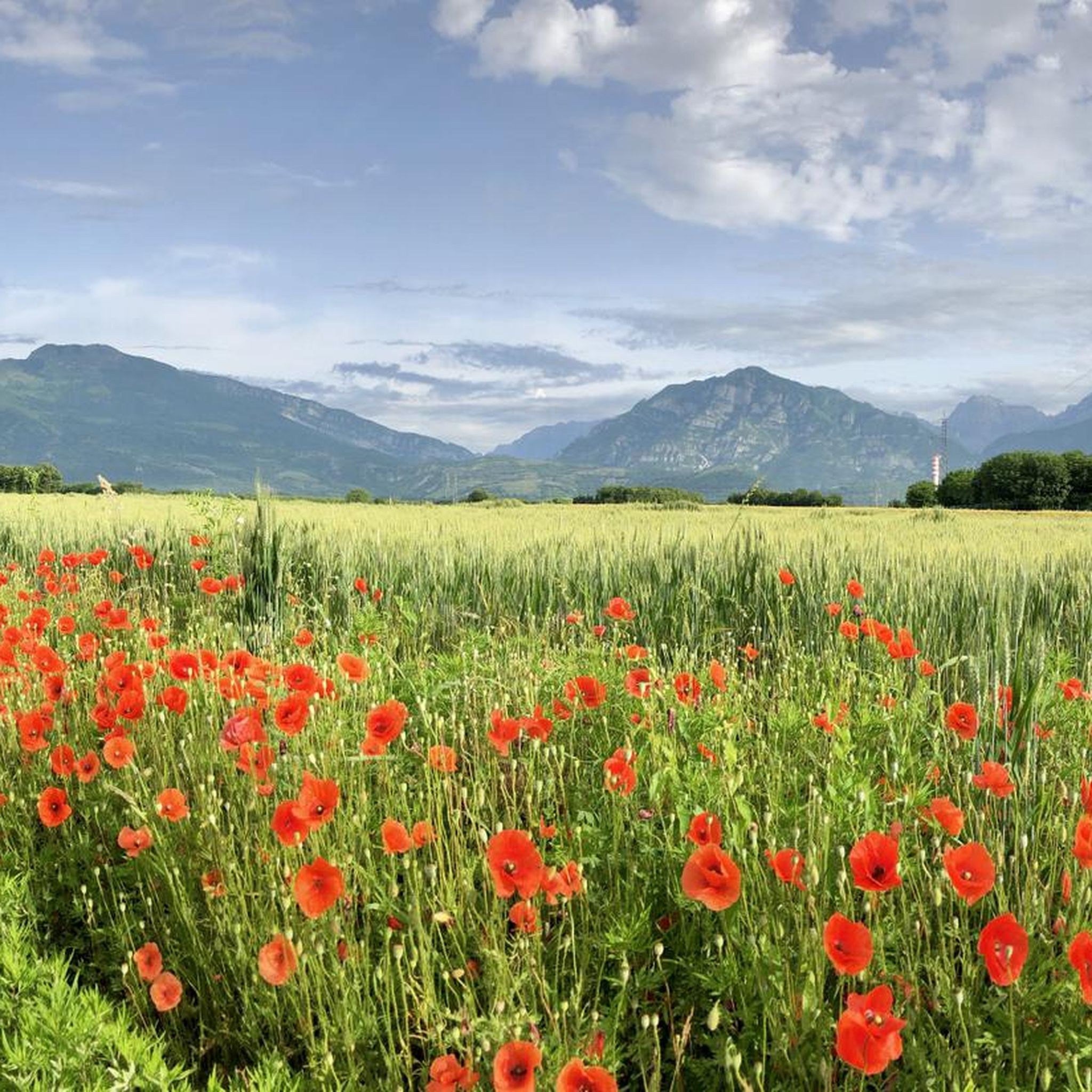
MTB Trails around Montereale Valcellina
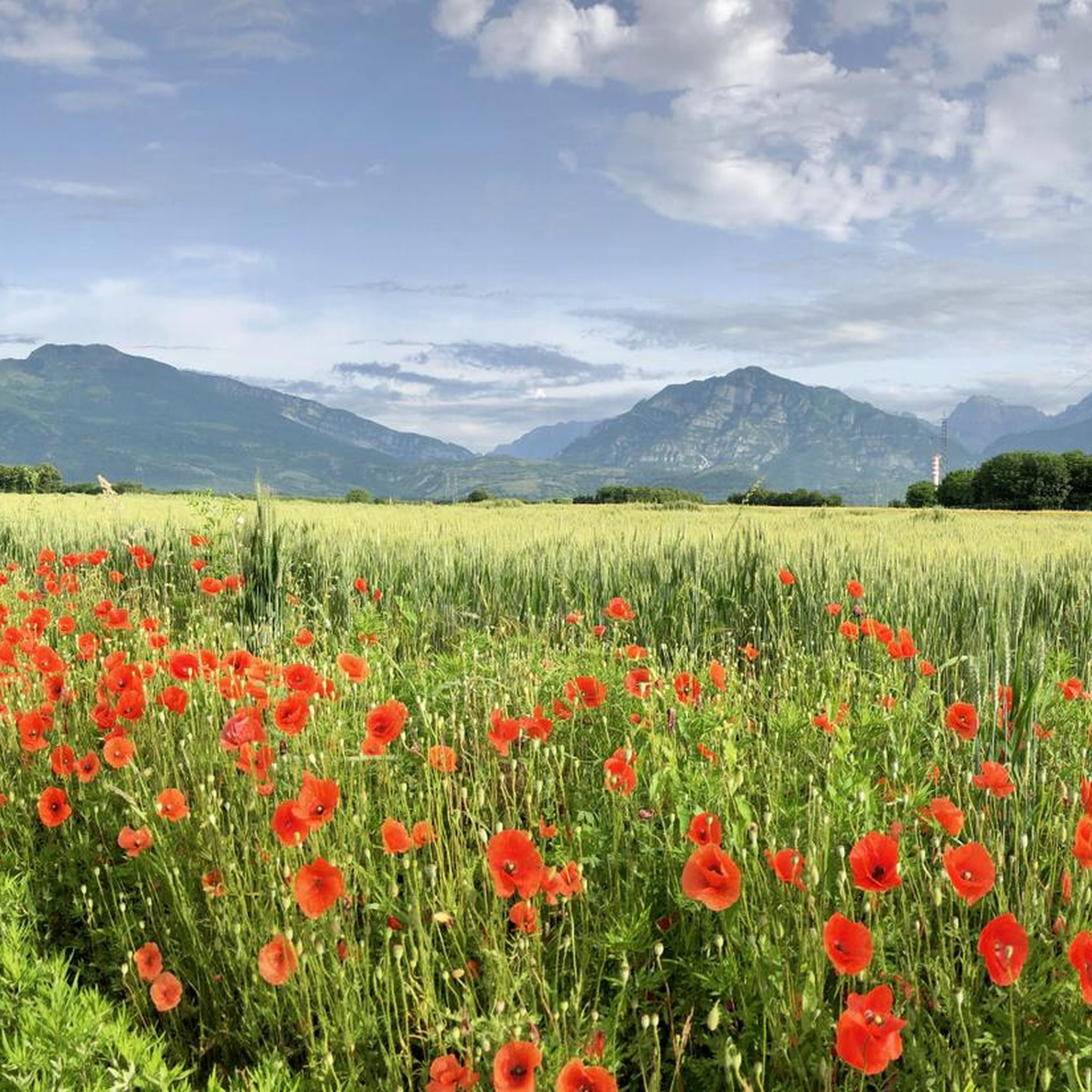
Cycling around Montereale Valcellina
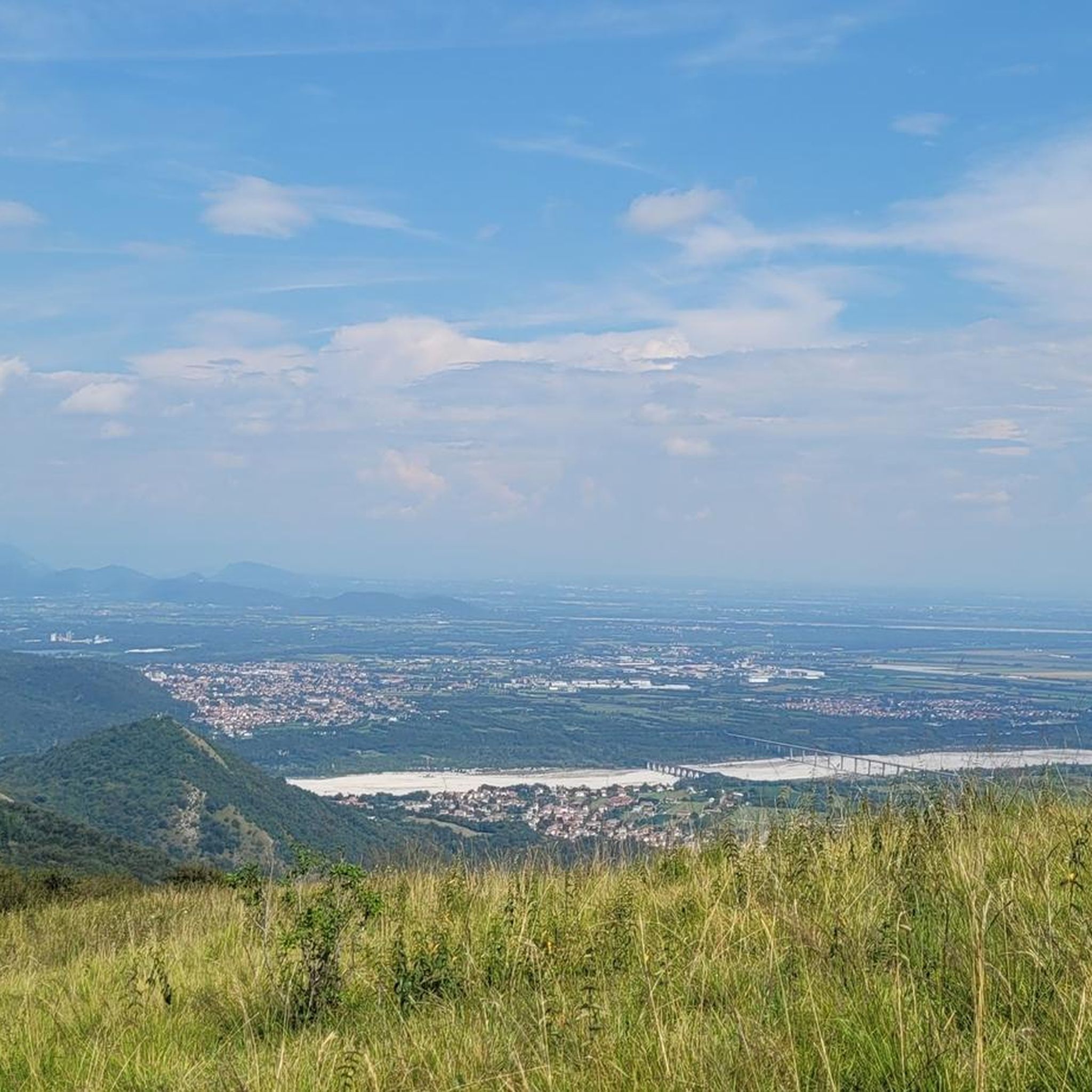
Running Trails around Montereale Valcellina
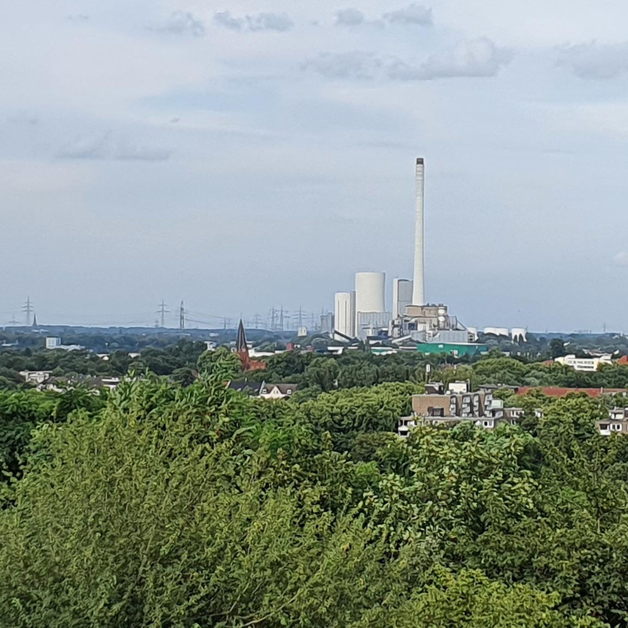
Gravel biking around Montereale Valcellina

Mountain Hikes around Montereale Valcellina
Other adventures around Montereale Valcellina

Tips from the Community

The novel bridge combines historical elements. It is worth stopping at both bridge entrances to enjoy the views of the Tagliamento and the hills.
1
0

An Austrian imperial-royal fort. Plans for it to be transformed into a monumental cemetery, traces of which can be seen climbing the hill. Unfortunately, the project was later abandoned.
1
0

The eastern edge of Lake Barcis is very suggestive.
0
0


Beautiful passage on the lake!!!
0
0

Very beautiful and in a splendid area for mountain bike and gravel bike lovers
0
0
An important, well-maintained water fountain for refilling water containers before the climb to Poffabro. When I was there, a watermelon was stored in the fountain, protected by goldfish.
0
0
Frequently Asked Questions
How many road cycling routes are available around Montereale Valcellina?
Montereale Valcellina offers a diverse network of over 30 road cycling routes. These routes cater to various skill levels, from easy rides to challenging climbs, allowing cyclists to explore the Valcellina Valley and its surrounding Alpine foothills.
Are there road cycling routes suitable for beginners in Montereale Valcellina?
Yes, there are several options for beginners. The region features 6 easy road cycling routes. An example is the Ravedis Bridge – Cellina Bridge loop from Malnisio / Malnîs, which is 11.7 miles (18.9 km) long and offers a pleasant ride through the local landscape.
What kind of terrain can I expect on road cycling routes in Montereale Valcellina?
The terrain around Montereale Valcellina is quite varied, characterized by the Valcellina Valley, surrounding hills, and the foothills of the Alpine region. You can expect routes with diverse elevation profiles, from relatively flat sections along rivers to more demanding climbs into the hills, offering both scenic beauty and physical challenges.
Are there challenging road cycling routes for experienced riders?
Absolutely. For experienced cyclists seeking a challenge, Montereale Valcellina offers 11 difficult routes. A notable option is the Bridge over the Meduna in Navarons – Lake Tramonti loop from Montereale Valcellina, a 52.5 miles (84.5 km) trail with significant elevation gain and stunning views of Lake Tramonti.
What natural features or landmarks can I see on road cycling routes?
Road cycling routes in the area often pass by significant natural features. You can expect to see the picturesque Valcellina Valley, surrounding hills, and rivers. Many routes offer views of Lake Barcis and the Ravedis Dam. The Dint Skywalk near Lake Barcis also provides spectacular panoramic views.
Can I combine road cycling with cultural or historical exploration in Montereale Valcellina?
Yes, Montereale Valcellina is rich in history and archaeology, with findings from the Neolithic to Roman eras. While cycling, you can encounter historical churches like the 18th-century Church of Santa Maria Assunta, or cultural centers such as Palazzo Toffoli, which houses an archaeological museum. The Antonio Pitter Hydroelectric Power Plant Museum in Malnisio is another interesting stop that blends industrial history with the region's natural resources.
Are there road cycling routes that pass by Lake Barcis?
Yes, several routes incorporate Lake Barcis. For instance, the Footbridge over Lake Barcis – Lake Barcis loop from Montereale Valcellina is a difficult 53.1 km route that circles the lake, offering beautiful views and the chance to experience the Footbridge over Lake Barcis.
When is the best time of year for road cycling in Montereale Valcellina?
Given its location at the foot of the Alpine region, the spring, summer, and early autumn months generally offer the most favorable conditions for road cycling. During these seasons, the weather is typically mild, and the natural landscapes are at their most vibrant, making for an enjoyable cycling experience.
What do other road cyclists enjoy most about the routes here?
The road cycling routes around Montereale Valcellina are highly rated by the komoot community, with an average score of 4.6 stars from over 30 reviews. Cyclists frequently praise the varied terrain, the stunning views of the Valcellina Valley and surrounding mountains, and the opportunity to combine active exploration with cultural discovery.
Are there loop road cycling routes available?
Yes, many of the road cycling routes in Montereale Valcellina are designed as loops, providing convenient starting and ending points. Examples include the Ravedis Bridge – Cellina Bridge loop from Montereale Valcellina and the Clauzetto – Cellina Bridge loop from Montereale Valcellina, allowing you to return to your starting point without retracing your path.
Can I cycle past the Ravedis Dam?
Yes, you can. The Ravedis Bridge – Cellina Bridge loop from Montereale Valcellina is a popular moderate route that passes by the Ravedis Dam, offering a chance to see this significant natural feature up close during your ride.
Are there any routes that offer panoramic views of the region?
Many routes in the area provide excellent panoramic views, especially those that climb into the surrounding hills. The region's Alpine foothills naturally lend themselves to scenic vistas. For a truly spectacular view, consider routes that pass near the Dint Skywalk, which offers expansive views over the landscape.
Most popular routes around Montereale Valcellina
Most popular attractions around Montereale Valcellina

Get inspired with the komoot mobile app


Explore more
Browse the best Road cycling routes in other regions.
