The best mountain hikes around Santa Margherita Ligure
5.0
(2)
18
hikers
4
hikes
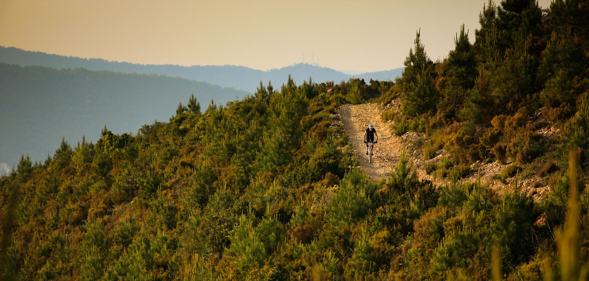
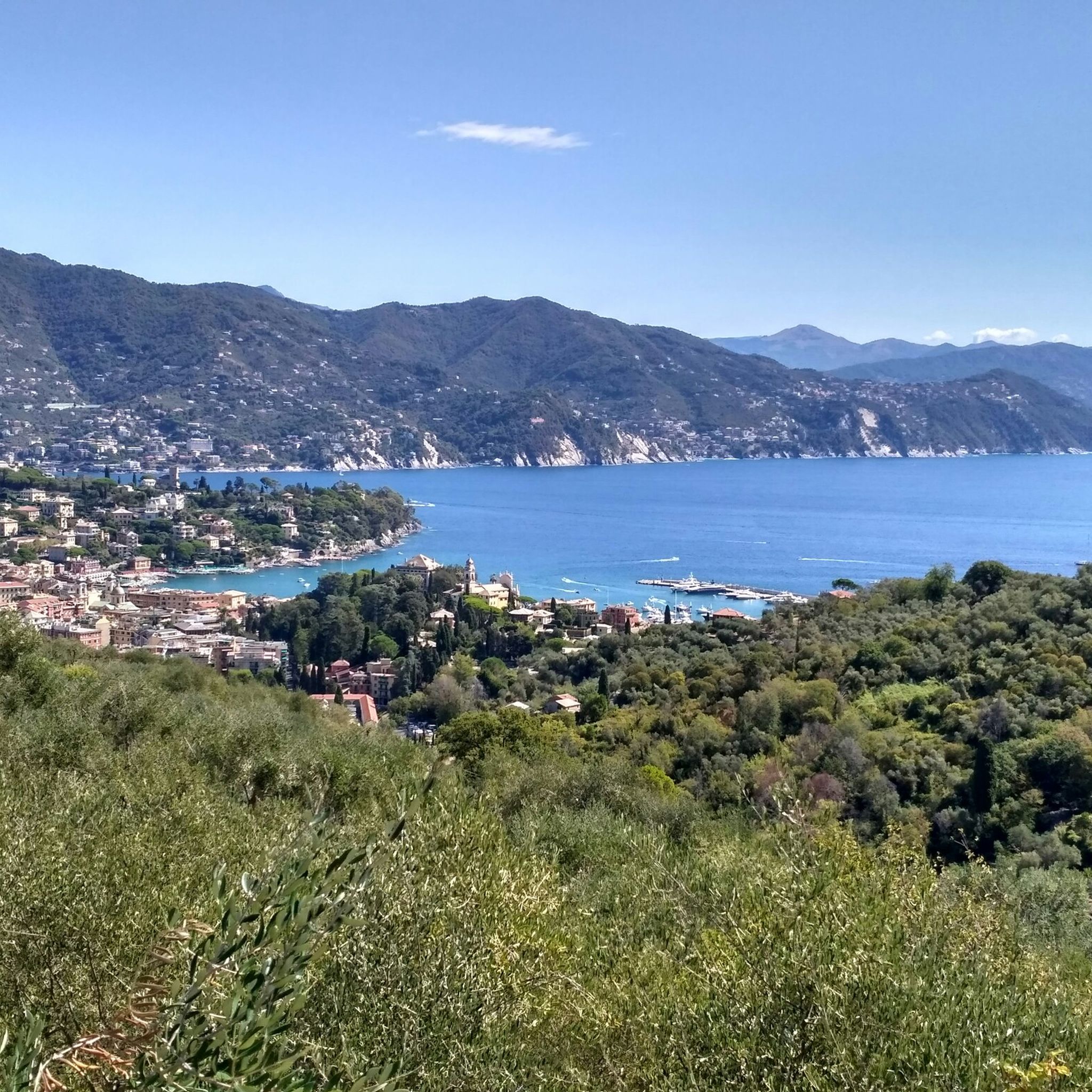
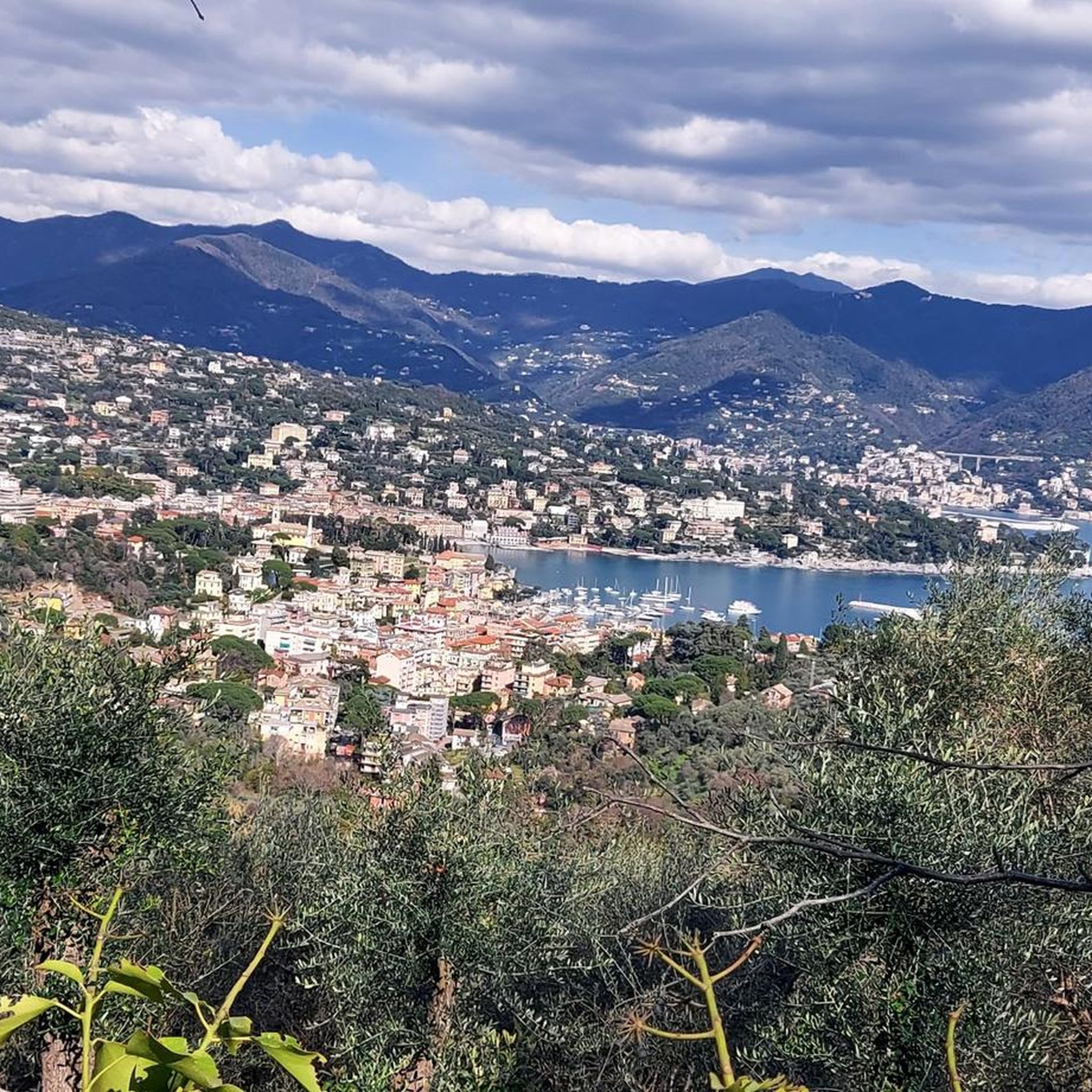
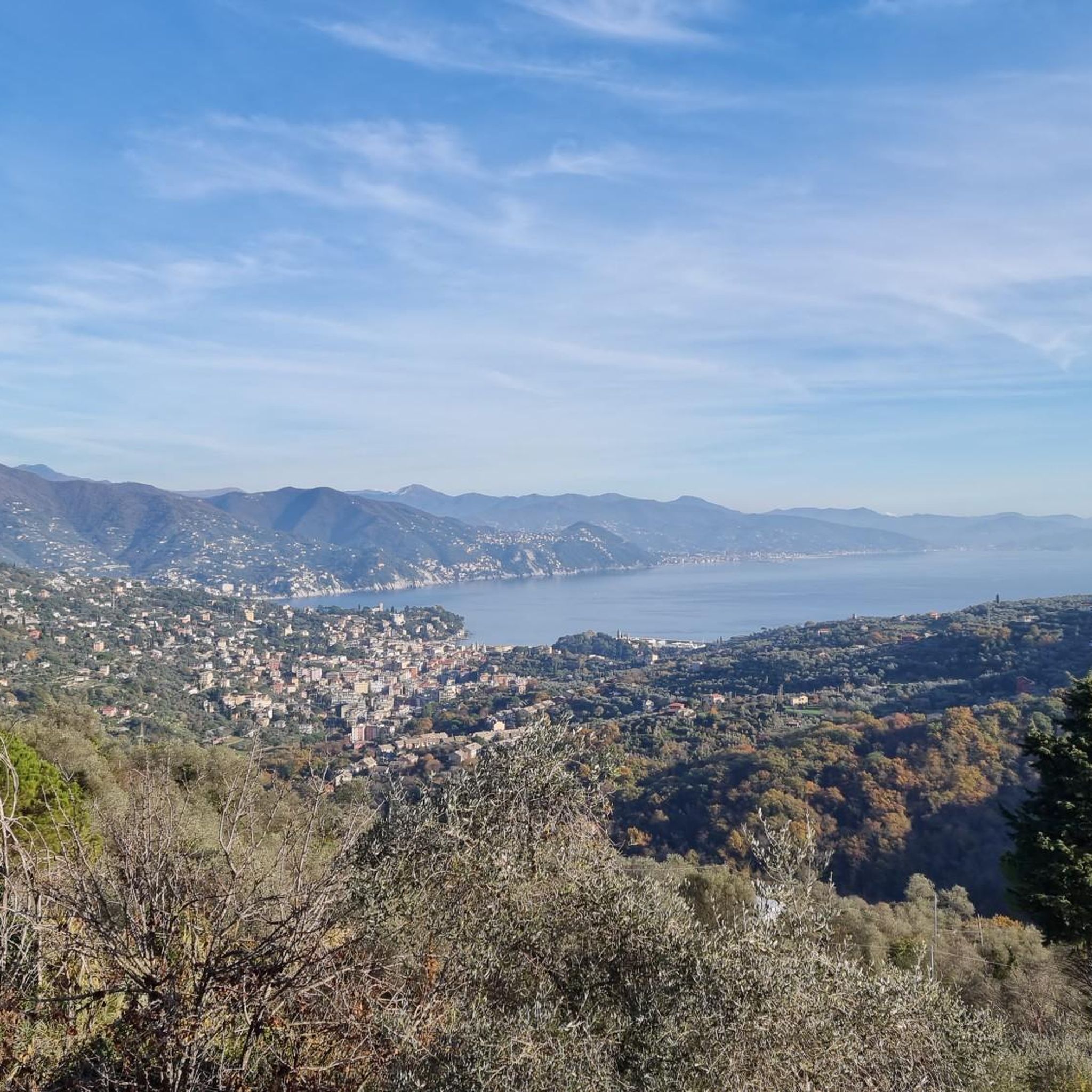
Mountaineering routes around Santa Margherita Ligure are characterized by the rugged terrain of the Ligurian coast and the Portofino Regional Natural Park. The landscape features dramatic coastal cliffs, lush hills, and dense pine and Mediterranean evergreen forests. Elevations can reach up to 610 meters on Monte Portofino, offering significant ascents and descents.
Best mountaineering routes around Santa Margherita Ligure
- The most popular mountaineering route is View of Portofino – Portofino Waterfront loop from Santa Margherita Ligure, a 9.4 miles…
Last updated: August 4, 2026
5.0
(1)
5
hikers
15.1km
05:59
810m
810m
Hard mountaineering route. Very good fitness required. Mostly accessible paths. Sure-footedness required.
3
hikers
11.1km
04:36
820m
820m
Moderate mountaineering route. Good fitness required. Mostly accessible paths. Sure-footedness required.

Sign up for free
5.0
(1)
8
hikers
14.9km
06:17
980m
980m
Hard mountaineering route. Very good fitness required. Mostly accessible paths. Sure-footedness required.
2
hikers
8.97km
03:27
560m
560m
Moderate mountaineering route. Good fitness required. Mostly accessible paths. Sure-footedness required.
Our route recommendations are based on thousands of hikes, rides, and runs completed by other people on komoot.
Start today with a free account
Your next adventure awaits.
Login or Signup
Popular around Santa Margherita Ligure
Other adventures around Santa Margherita Ligure

Tips from the Community

A dreamily beautiful hiking trail.
0
0
A dreamily beautiful hiking trail.
0
0
A dream-beautiful hiking trail. I can only recommend it
0
0


Incredible view of the cliffs below and the open sea.
0
1
Beautiful route well marked with many variations. Never do it in uncertain weather.
0
0

Beautiful church with a medieval layout. From the churchyard you can enjoy a beautiful view of Camogli and the entire coast towards the West
0
0
Frequently Asked Questions
How many mountaineering routes are available around Santa Margherita Ligure?
There are several dedicated mountaineering routes around Santa Margherita Ligure, primarily within the Portofino Regional Natural Park. These routes offer varied terrain and challenges, from moderate to difficult.
What kind of terrain can I expect on mountaineering routes in this region?
The terrain around Santa Margherita Ligure is characterized by the rugged Ligurian coast, featuring dramatic coastal cliffs, lush hills, and dense pine and Mediterranean evergreen forests. You'll encounter significant ascents and descents, with paths winding through valleys, forests, and along scenic coastal sections, offering a striking contrast between land and sea.
Are there any family-friendly mountaineering options near Santa Margherita Ligure?
While many mountaineering routes in the Portofino Regional Natural Park involve significant elevation changes and can be challenging, some sections or shorter trails might be suitable for families with older children who are accustomed to hiking. For example, the coastal path connecting Santa Margherita Ligure to Portofino, though not a mountaineering route, offers a pleasant walk with improved sidewalks and stunning views. Always check the specific route details for difficulty and elevation before heading out with family.
Can I bring my dog on the mountaineering trails?
The Portofino Regional Natural Park, where many of the mountaineering routes are located, generally welcomes dogs, but they must be kept on a leash. Always ensure your dog is fit enough for the strenuous terrain and elevation changes, and carry enough water for both of you. Check local regulations for specific trail restrictions before your visit.
What are some notable landmarks or viewpoints I can discover along the routes?
Many routes offer breathtaking views and pass by significant landmarks. You can find panoramic vistas from Monte Santa Croce or the Portofino Summit. The Pietre Strette area within Portofino Park is a notable junction with dramatic rock gateway formations. You might also encounter the historic San Fruttuoso Abbey and Bay, accessible via more strenuous hikes through the park.
Are there any circular mountaineering routes in the area?
Yes, there are several circular routes available. For instance, the View of Portofino – Portofino Waterfront loop from Santa Margherita Ligure is a challenging 15.1 km (9.4 miles) route offering expansive coastal views. Another option is the moderate Punta Chiappa – Porto Pievevecchio loop from Camogli, which winds through forested sections and coastal vistas.
What is the best time of year for mountaineering around Santa Margherita Ligure?
The region is generally suitable for outdoor activities year-round. Trails within the Portofino Regional Natural Park, especially those through forested areas like Monte Portofino, are often shaded, making them enjoyable even on warmer days. For more specialized climbing on exposed areas like Monte Santa Margherita, it's noted as climbable all year. Spring and autumn offer pleasant temperatures for longer treks, while summer can be warm but still manageable with early starts.
What are the typical elevations and difficulties of the routes?
Mountaineering routes in this area feature significant elevation changes. For example, hikes on Monte Portofino can involve up to 3,000 feet of elevation gain. Trails range from moderate, with elevation gains around 1,000 feet, to difficult routes requiring good fitness and sure-footedness. The View of Portofino – Portofino Waterfront loop, for instance, has an elevation gain of approximately 695 meters (2,280 feet) and is rated difficult.
How can I access the mountaineering routes using public transport?
Santa Margherita Ligure is well-connected by train, making it a convenient base. From there, you can often reach trailheads within the Portofino Regional Natural Park by local bus services or even on foot for some closer routes. For routes starting from nearby towns like Camogli, train connections are also available. Always check local bus schedules and train times in advance.
Are there any less strenuous options for beginners or those looking for an easier mountaineering experience?
While many routes are moderate to difficult, some sections or shorter trails within the Portofino Regional Natural Park might offer a less strenuous experience. For example, the Hotel Portofino Kulm – View of Camogli to Genoa loop is a moderate 9.9 km (6.2 miles) trail with an elevation gain of about 393 meters (1,290 feet), offering varied terrain without extreme challenges. It's always recommended to check the specific route's elevation profile and difficulty rating.
What do other mountaineers enjoy most about the routes around Santa Margherita Ligure?
The area is highly rated by the komoot community, with an average score of 5.0 stars. Reviewers often praise the dramatic coastal landscapes, the lush Mediterranean forests, and the panoramic sea views that accompany many of the trails. The varied terrain and the opportunity to explore the Portofino Regional Natural Park are also frequently highlighted.
Most popular routes around Santa Margherita Ligure
Most popular attractions around Santa Margherita Ligure

Get inspired with the komoot mobile app


Explore more
Browse the best Mountain Hikes & Routes in other regions.
