The best mountain hikes around Sappada - Plodn
4.4
(7)
111
hikers
13
hikes
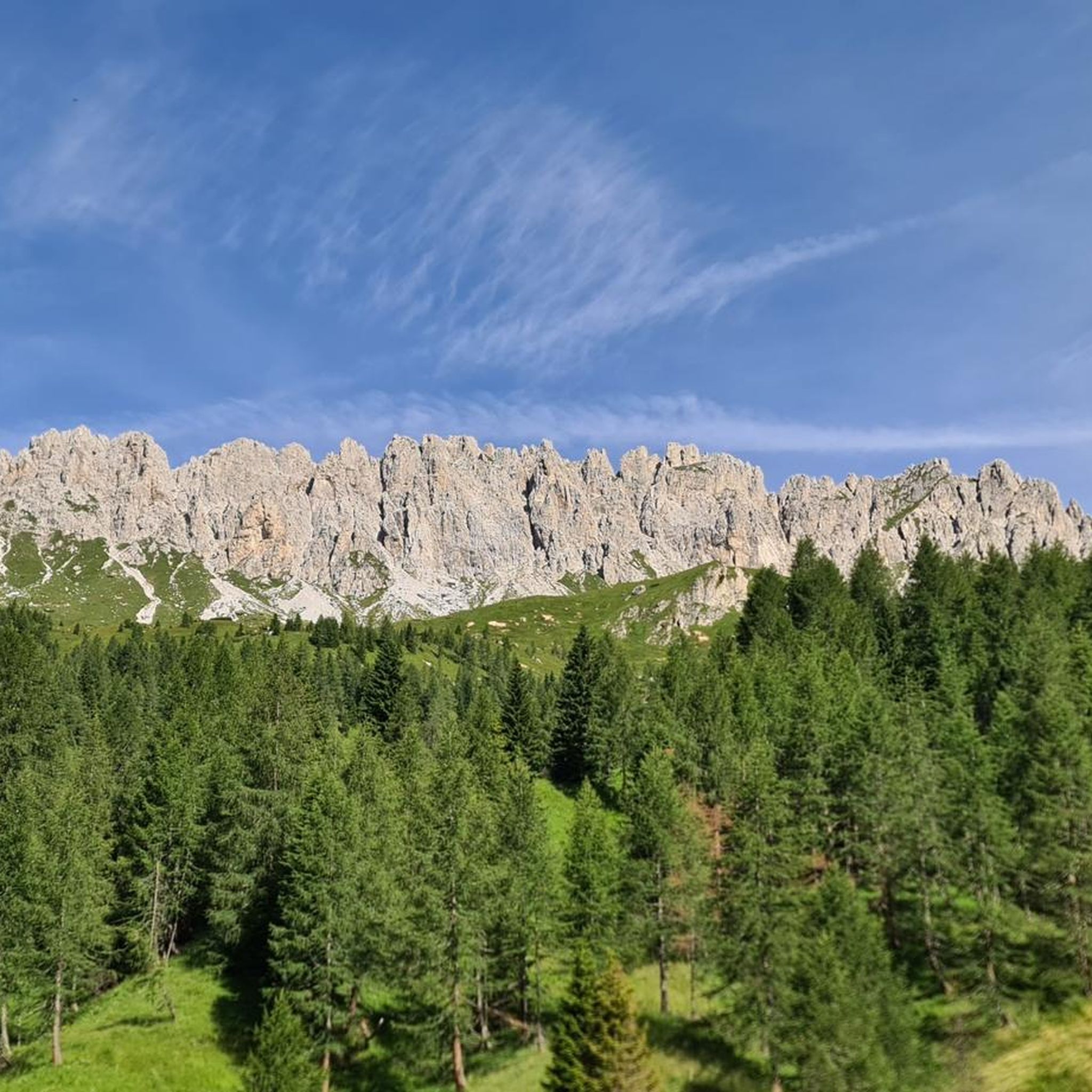
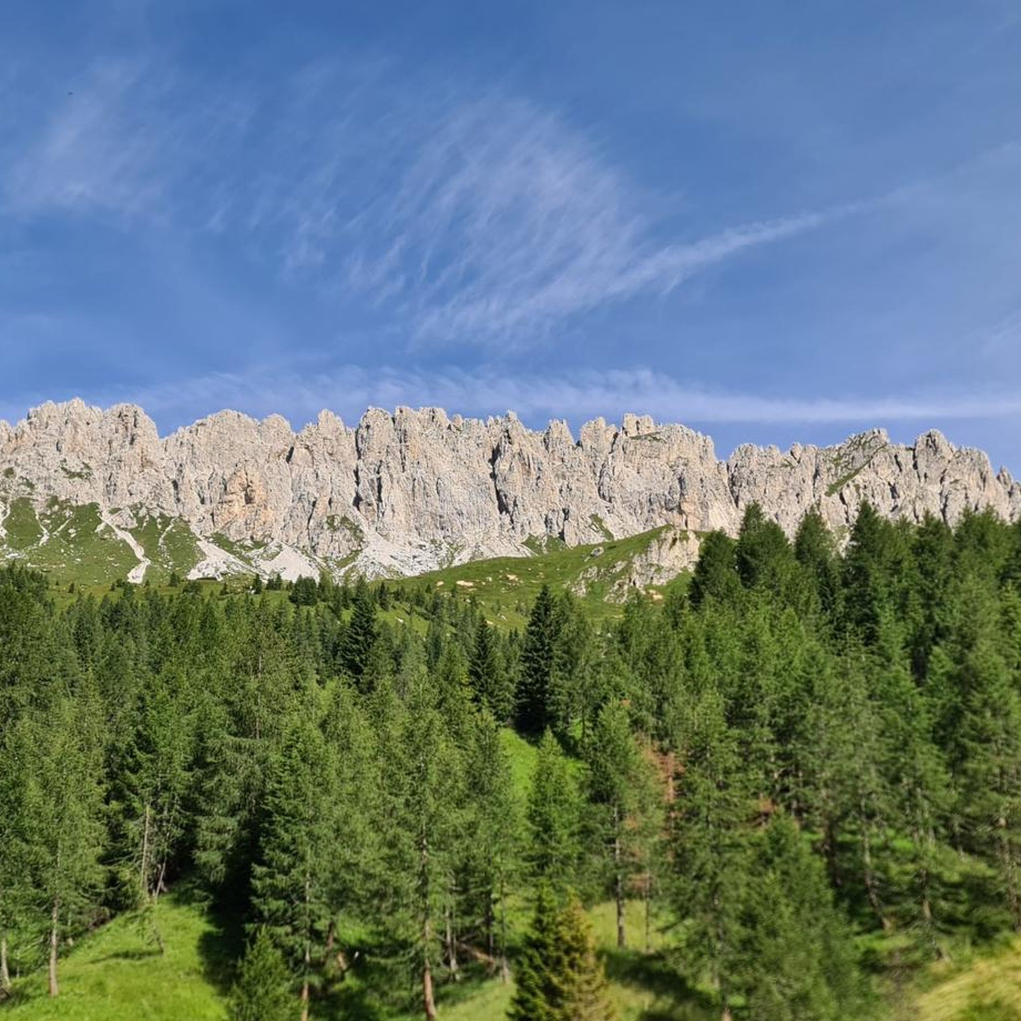
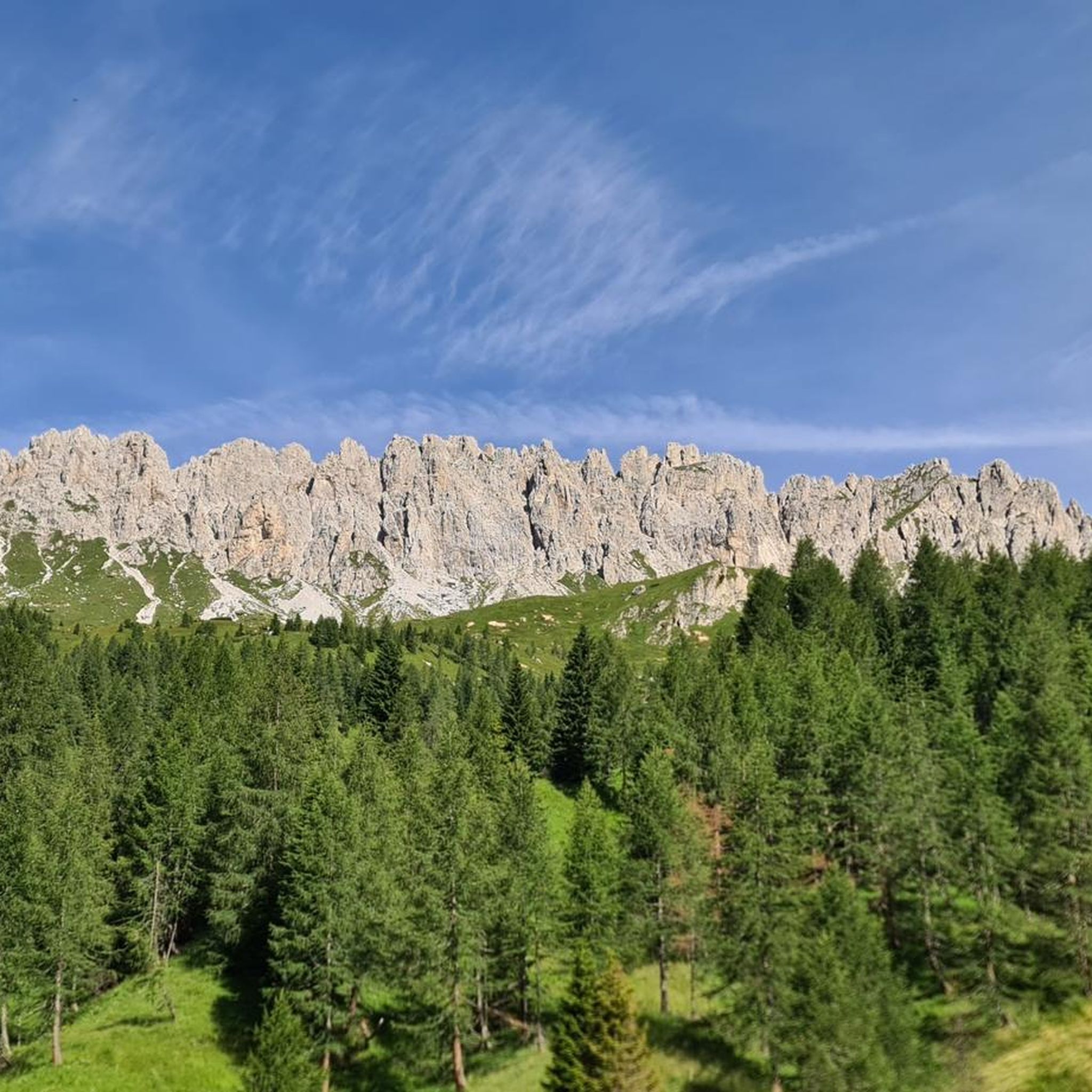
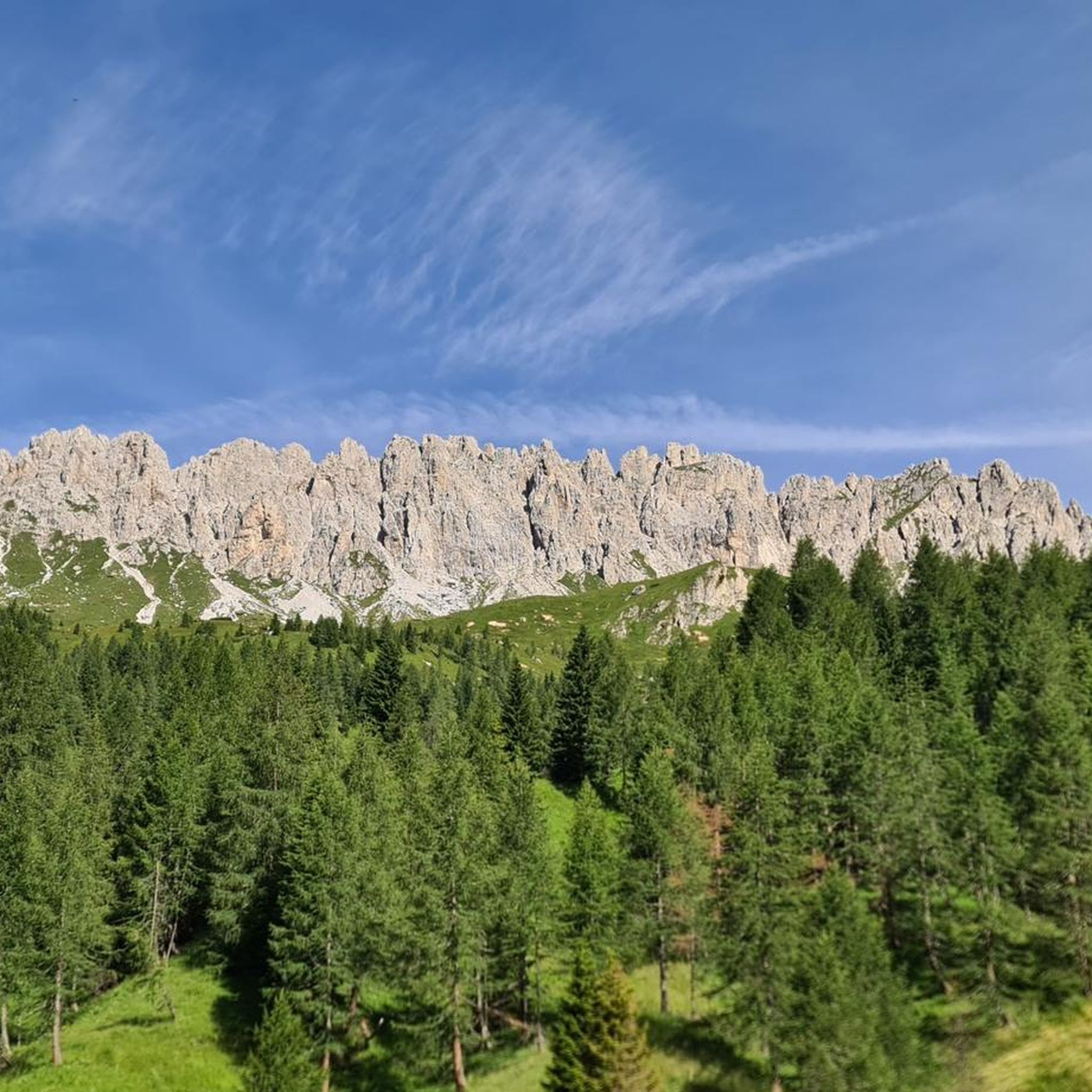
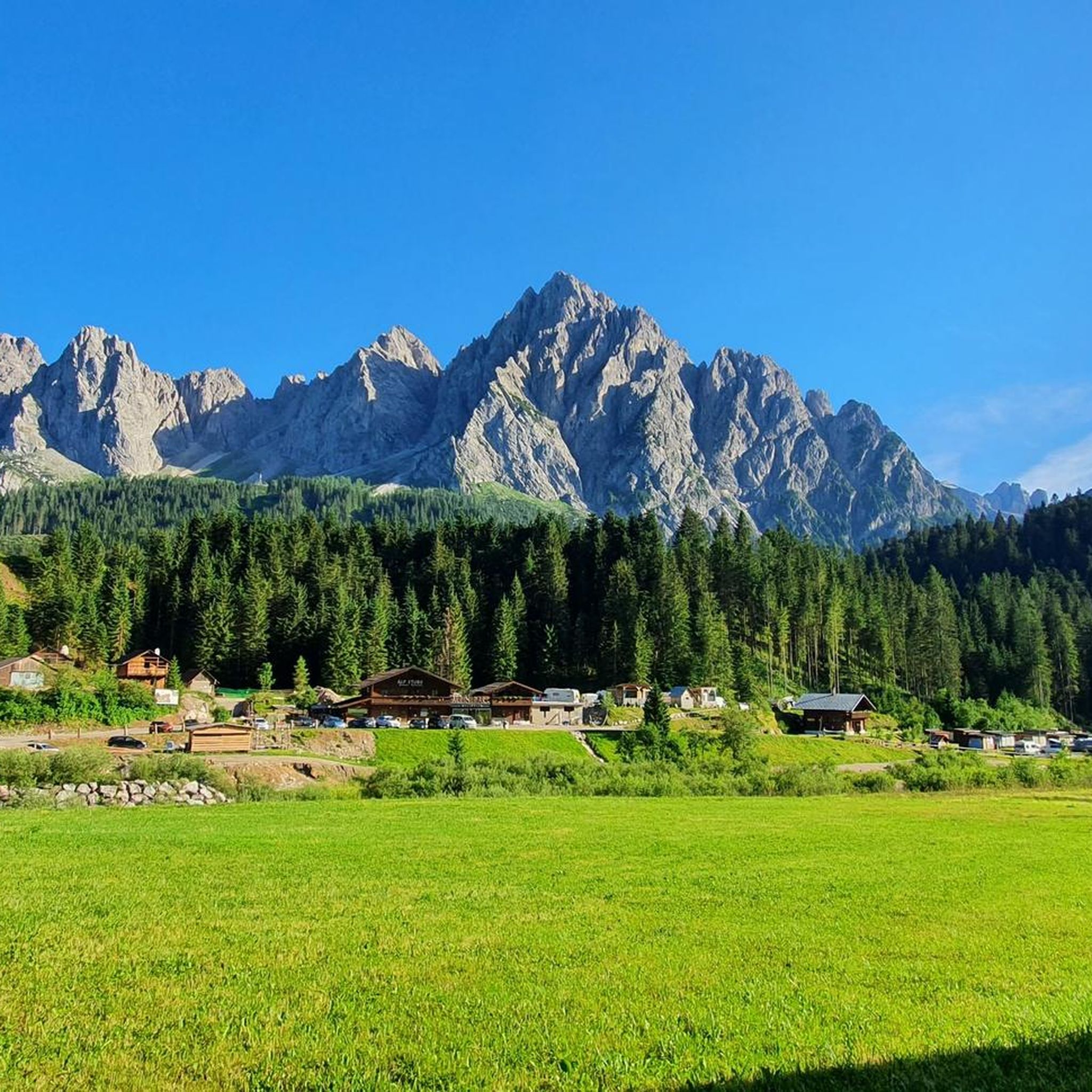
Mountaineering routes around Sappada - Plodn are situated within the Dolomites, characterized by a crown of peaks such as Monte Lastroni and Mount Peralba. The landscape features extensive coniferous and larch forests, green pastures, and alpine lakes like Lake Wolayer. The Piave River flows through the valley floor, contributing to the diverse terrain suitable for various mountaineering challenges.
Best mountaineering routes around Sappada - Plodn
- The most popular mountaineering route is Cima Brentoni loop from Col Rementera, a 5.9…
Last updated: July 18, 2026
23
hikers
9.70km
05:07
760m
760m
Hard mountaineering route. Very good fitness required. Sure-footedness, sturdy shoes and alpine experience required.
4.0
(2)
13
hikers
14.2km
06:09
840m
840m
Hard mountaineering route. Very good fitness required. Sure-footedness, sturdy shoes and alpine experience required.

Sign up for free
5.0
(2)
9
hikers
8.71km
03:34
700m
700m
Moderate mountaineering route. Good fitness required. Mostly accessible paths. Sure-footedness required.
7
hikers
Hard mountaineering route. Good fitness required. Sure-footedness, sturdy shoes and alpine experience required.
6
hikers
Moderate mountaineering route. Good fitness required. Mostly accessible paths. Sure-footedness required.
Get access to more routes and recommendations from other explorers.
Sign up for free
Already have an account?
Our route recommendations are based on thousands of hikes, rides, and runs completed by other people on komoot.
Start today with a free account
Your next adventure awaits.
Login or Signup


Other adventures around Sappada - Plodn

Tips from the Community

Characteristic alpine hut located in the heart of Val Sesis, along the road (SP22) that leads to the Sorgenti del Piave. Reopened on June 2, 2022, following a major renovation, it is now a welcoming mountain restaurant run by women. A rustic environment, warmed by the fire of wood-burning stoves and by the wood that characterizes the rooms. Easily reachable by car in summer, it is a pleasant destination for a walk on a beaten path in winter. www.baitarododendro.it
1
0

It is also possible to do a traverse: ascent via the west ridge and descent via the normal route.
0
0
From Passo Oregone to Hochweißstein
0
0
The normal route to the Hochweißstein goes through this gully.
0
0

... to the front line of the First World War are immortalized here.
0
0
The Baita is located in a small valley in the Val Sesis, along the ascent to the source of the Piave River. It is located on the former front line of World War I.
0
0
From the Rifugio Calvi, the panorama to the southwest is impressive, reaching all the way to the Dolomites. It is located below the steep walls of Monte Chiadenis and Monte Peralba at an altitude of 2,164 m. It was inaugurated in 1926 and is the highest mountain hut in Friuli. The panorama
0
0
From the Rifugio Calvi, the panorama to the southwest is impressive, reaching all the way to the Dolomites. It is located below the steep walls of Monte Chiadenis and Monte Peralba at an altitude of 2,164 m. It was inaugurated in 1926 and is the highest mountain hut in Friuli. The panorama
0
0
Frequently Asked Questions
How many mountaineering routes are available in Sappada - Plodn?
There are over 15 mountaineering routes around Sappada - Plodn listed on komoot. These routes cater to various skill levels, with 4 moderate and 12 difficult options.
What is the best time of year for mountaineering in Sappada - Plodn?
The warmer months, typically from late spring to early autumn, are ideal for mountaineering in Sappada - Plodn. During this period, the trails are generally free of snow, offering access to the high Dolomite peaks and alpine lakes. Winter brings opportunities for ski mountaineering and ice climbing.
What are the typical difficulty levels for mountaineering routes in this region?
Mountaineering routes in Sappada - Plodn range from moderate to difficult. You'll find 4 moderate routes and 12 difficult routes, offering challenges for experienced mountaineers with ascents through rugged Dolomite scenery and high mountain passes.
Are there any circular mountaineering routes in Sappada - Plodn?
Yes, several routes are circular. For example, the Cima Brentoni loop from Col Rementera is a challenging 9.6 km route. Another popular option is the Monte Bivera – Forcella del Bivera loop from Sella di Razzo, covering 14.2 km with expansive views. The Lago Bordaglia loop from Cava di Marmo "Avanza" is also a circular route leading past mountain lakes.
Can I find routes that pass by alpine lakes or waterfalls?
Absolutely. The region is known for its serene alpine lakes and numerous waterfalls. The Lago Bordaglia loop from Cava di Marmo "Avanza" takes you past mountain lakes. You can also explore the area around Lake Wolayer, which is a prominent natural feature in the region.
Are there any family-friendly mountaineering options in Sappada - Plodn?
While many mountaineering routes in Sappada - Plodn are rated moderate to difficult, there are generally easier walks and hikes available in the broader Sappada region that might be more suitable for families. For specific mountaineering, routes like the Lago d'Olbe Maggiore loop from Pian delle Bombarde are rated moderate and could be considered for families with older, experienced children.
Are dogs allowed on the mountaineering trails in Sappada - Plodn?
Generally, dogs are permitted on trails in the Sappada - Plodn region, but it's always advisable to keep them on a leash, especially in areas with livestock or wildlife. Be sure to check specific park regulations if you plan to enter protected areas, as rules can vary.
Are there mountain huts along the mountaineering routes for breaks or overnight stays?
Yes, the region features several mountain huts. The Wolayersee Hut, located on the shore of Lake Wolayer, is a notable stop. Other huts include the Hochweißstein Hut and the Edoardo Tolazzi Hut, offering accommodation and meals for mountaineers.
What kind of natural landmarks or points of interest can I expect to see?
You'll encounter towering Dolomite peaks like Monte Peralba and Monte Lastroni, extensive coniferous and larch forests, and serene alpine lakes such as Lake Wolayer. The Source of the Piave River at the foot of Monte Peralba is another significant natural landmark.
Is parking available near the trailheads for mountaineering routes?
Parking is generally available at common starting points for mountaineering routes, such as Col Rementera for the Cima Brentoni loop, Sella di Razzo for the Monte Bivera – Forcella del Bivera loop, and Pian delle Bombarde for the Lago d'Olbe Maggiore loop. Specific parking details can often be found on individual route pages.
What do other mountaineers say about the routes in Sappada - Plodn?
The mountaineering routes in Sappada - Plodn are highly rated by the komoot community, with an average score of 4.4 stars from over 9 reviews. Mountaineers often praise the dramatic Dolomite scenery, the challenging ascents, and the rewarding views from the high mountain passes.
Are there opportunities for winter mountaineering or other winter sports in Sappada - Plodn?
Yes, Sappada - Plodn transforms into a winter sports paradise. It's a renowned destination for ski mountaineering, offering countless opportunities to experience fresh snow and stunning Dolomite views. Ice climbing is also popular, with a variety of ice falls suitable for all levels.
Most popular routes around Sappada - Plodn
Most popular attractions around Sappada - Plodn

Get inspired with the komoot mobile app


Explore more
Browse the best Mountain Hikes & Routes in other regions.
