The best mountain hikes around Ospitale Di Cadore
4.9
(13)
74
hikers
6
hikes
Mountaineering routes around Ospitale Di Cadore are situated in the heart of the Dolomites, a UNESCO World Natural Heritage site. The region is characterized by dramatic mountainous scenery, prominent peaks like Antelao, and rugged terrain. It offers access to diverse landscapes, including the Val Tovanella Nature Reserve with its dense vegetation and challenging rock formations. This area serves as a prime starting point for various mountaineering experiences.
Best mountaineering routes around Ospitale Di Cadore
- The most popular mountaineering route is…
Last updated: October 8, 2026
4.7
(6)
38
hikers
5.27km
02:41
410m
410m
Hard mountaineering route. Good fitness required. Sure-footedness, sturdy shoes and alpine experience required.
5.0
(1)
12
hikers
3.35km
01:40
230m
230m
Hard mountaineering route. Great for any fitness level. Sure-footedness, sturdy shoes and alpine experience required.

8
hikers
12.6km
07:21
1,280m
1,300m
Hard mountaineering route. Very good fitness required. Sure-footedness, sturdy shoes and alpine experience required.
4.8
(4)
6
hikers
12.7km
04:45
700m
700m
Moderate mountaineering route. Good fitness required. Mostly accessible paths. Sure-footedness required.
4
hikers
12.7km
04:29
710m
720m
Moderate mountaineering route. Good fitness required. Easily-accessible paths. Suitable for all skill levels.
Our route recommendations are based on thousands of hikes, rides, and runs completed by other people on komoot.
Start today with a free account
Your next adventure awaits.
Tips from the Community

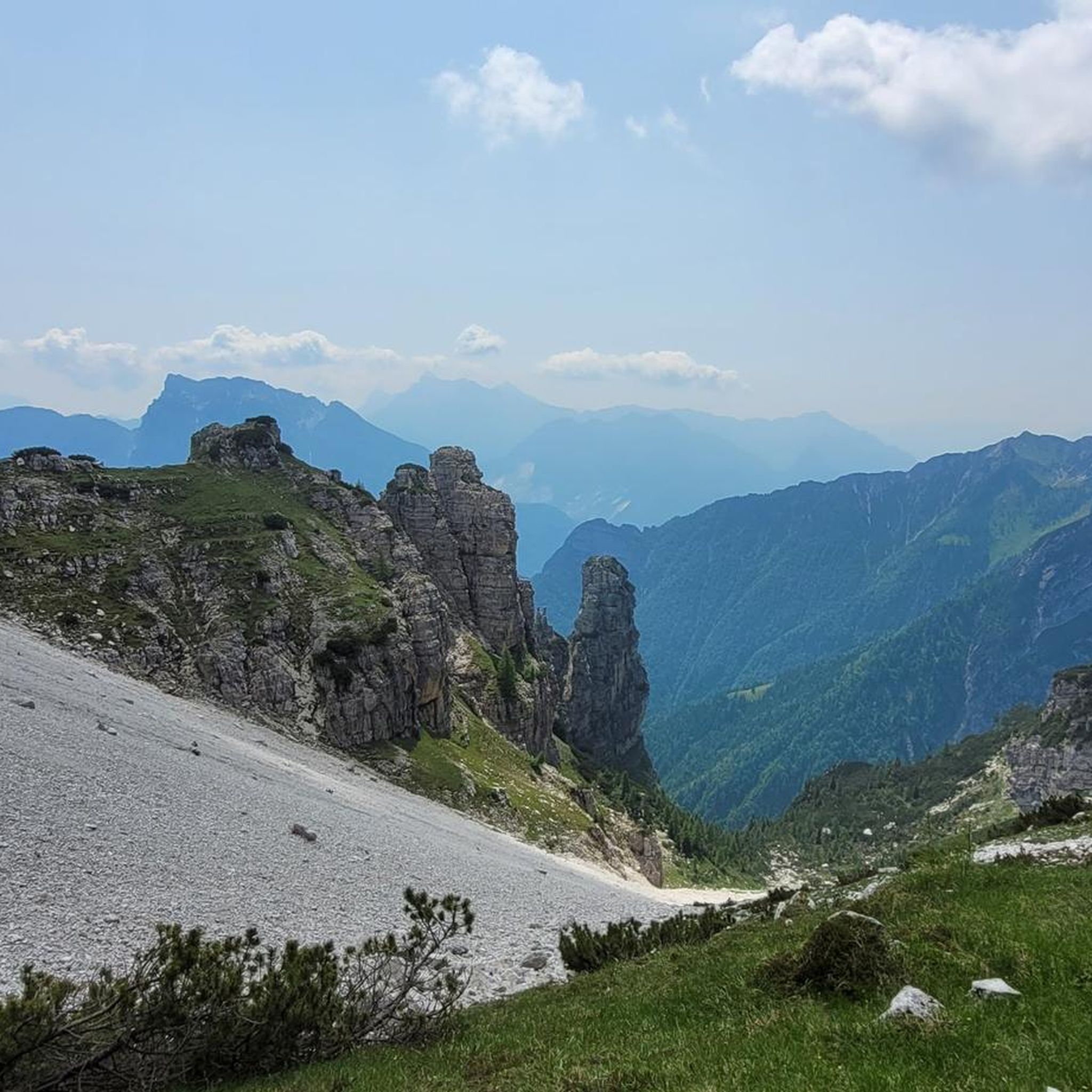
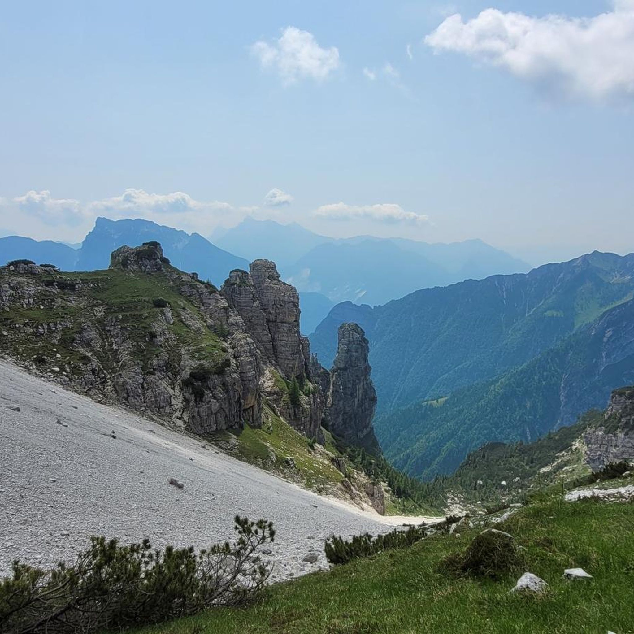
Panoramic summit, often frequented by groups of ibex, never had them so close compared to other places where I was lucky enough to encounter them.
0
0

From mid-June, Rifugio Maniago is back to life thanks to Valeria and Federico, whom I warmly recommend you visit. Try their cuisine, with a special mention for inclusivity and the desserts (out of this world). Keep dogs on a leash: Mango and Tondo are regular guests. Updates on the IG page.
0
0

The Vajont Dam Memorial and the connected "diffuse museum" constitute a solemn historical and civil itinerary dedicated to the disaster of October 9, 1963. The Vajont Dam is located in the municipality of Erto e Casso (PN), while the main centers of historical memory and exhibition develop in Longarone.
0
0

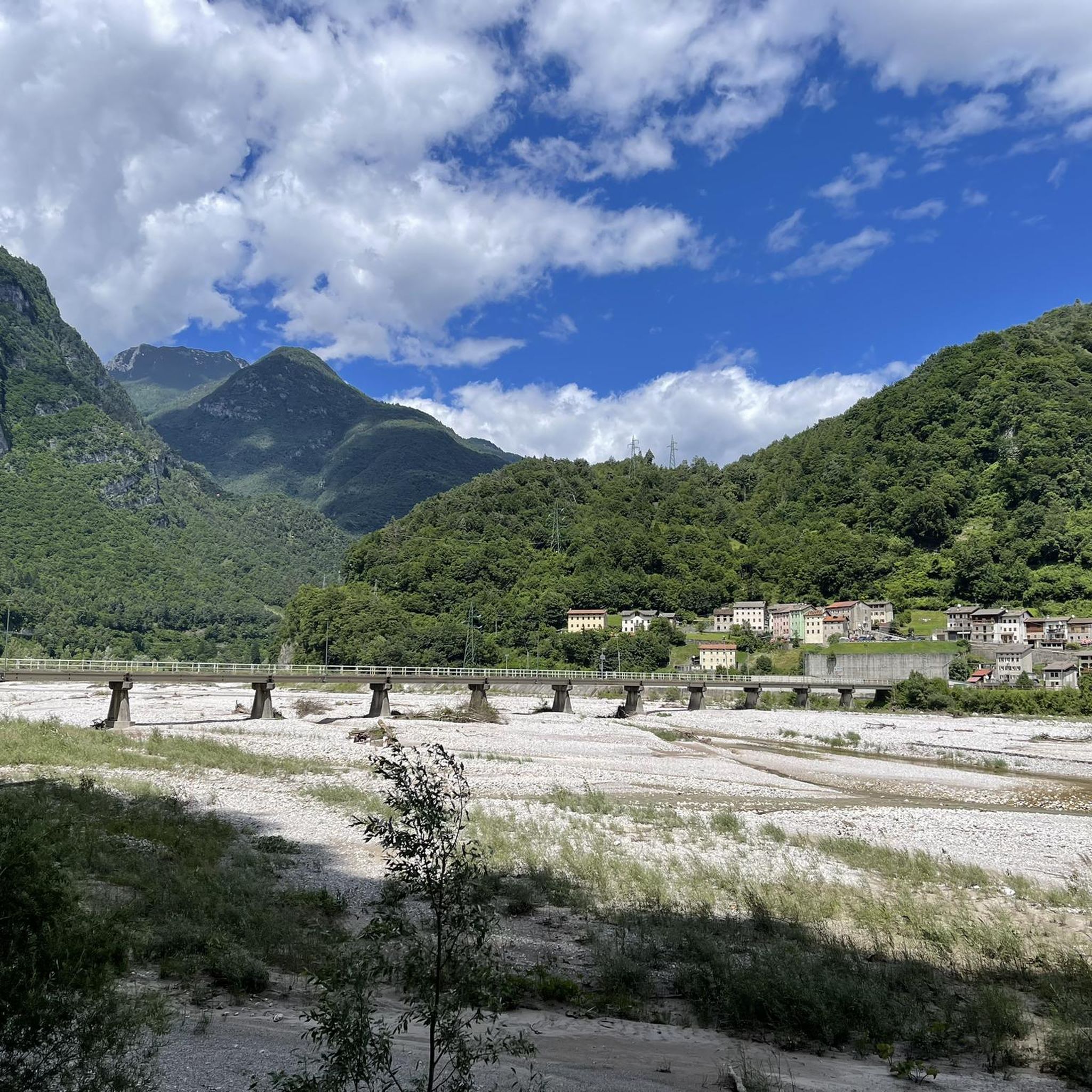
The Vajont Dam, located in the deep gorge between Friuli Venezia Giulia and Veneto, stands imposingly as a silent and monumental warning against human hubris. Having survived almost intact the catastrophic wave of October 9, 1963, caused by the landslide of Monte Toc, the structure is today a sacred place of collective memory. The dam's crest can be traversed through touching guided tours that allow you to walk close to the precipice, observing on one side the enormous landslide body and on the other the valley below of Longarone. Near the structure stands the Memorial, where a moving spread of colorful flags commemorates the children lost in the tragedy. The entire area, combined with the nearby Visitor Center of Erto and Casso, offers a historical and educational journey essential for understanding, remembering, and honoring the victims of the disaster.
0
0

Vajont is worth visiting, for the memory of the 1963 tragedy
0
0

A tragedy dictated by human greed.
13
0
La Casera Mela is a historic alpine structure located at an altitude of 1,170 meters in the picturesque Val Vajont, within the Natural Park of the Friulian Dolomites. Reachable via a convenient dirt road starting from the Erto area, the casera is situated in a verdant clearing offering a spectacular view of the north face of Monte Toc and the surrounding peaks. This place, now transformed into a welcoming refreshment point and agriturismo, is famous for its genuine hospitality and its cuisine linked to the flavors of local tradition. It represents a fundamental stop for those who wish to explore the trails leading towards the Duranno group, combining the wild beauty of the Friulian mountains with the historical memory of a valley deeply marked by the events of 1963.
0
0
Rifugio Maniago is located at an altitude of 1,730 meters, nestled in the scenic head of Val Zemola, in the heart of the Friulian Dolomites Natural Park. This historic stone structure, dominated by the imposing walls of Mount Duranno, represents a fundamental resting point for mountaineers and hikers traversing the Friulian Dolomites Ring. The refuge is famous for its authentic atmosphere and its strategic position, which allows for close admiration of limestone spires of extraordinary beauty. The ascent to reach it, usually starting from the vicinity of Casera Mela, winds through a wild and evocative environment, where it is not uncommon to spot chamois and ibex. It is the ideal place for those seeking silence and pristine nature, far from the most crowded tourist flows.
0
0
Frequently Asked Questions
How many mountaineering routes are available around Ospitale Di Cadore?
There are 8 mountaineering routes around Ospitale Di Cadore, offering diverse experiences in the Dolomites. These routes are highly rated by the komoot community, with an average score of 4.8 stars.
What are the typical difficulty levels for mountaineering routes in this region?
The routes around Ospitale Di Cadore cater to experienced mountaineers, with 5 routes classified as difficult and 3 as moderate. There are no easy mountaineering routes listed in this guide.
Are there any circular mountaineering routes in Ospitale Di Cadore?
Yes, several routes are circular. For example, the Mountaineering loop from Longarone is a difficult 5.3 km route. Another option is the Cima di Rodisegre – Spalla del Duranno loop from Casera di Conte, a challenging 15.8 km trail that typically takes over 7 hours to complete.
What kind of natural attractions can I expect to see along the mountaineering routes?
The region is rich in natural beauty. You can explore dramatic gorges like the Vajont Gorge and Waterfall, or discover the serene Hidden Waterfall on the Tovanella Stream. The Val Tovanella Nature Reserve, known for its dense forests and diverse wildlife, is also a prominent feature.
Are there mountain huts or refuges available along the routes?
Yes, mountain huts are essential for multi-day treks and provide rest stops. Notable refuges in the area include Rifugio Antelao and Casera Bosconero Hut, which serve as key bases for exploring the Bosconero Group and other areas.
What is the best time of year for mountaineering in Ospitale Di Cadore?
The best time for mountaineering in Ospitale Di Cadore is typically during the warmer months, from late spring to early autumn, when trails are clear of snow and weather conditions are more stable. This allows for optimal enjoyment of the Dolomitic landscapes.
Are there any particularly challenging mountaineering routes for experienced climbers?
For experienced mountaineers seeking a challenge, the Cima Sterpezza – Monte Borgà loop from Codissago offers a demanding ascent with over 1200 meters of elevation gain over 12.5 km. The Cima di Rodisegre – Spalla del Duranno loop from Casera di Conte is another difficult option, covering 15.8 km with significant elevation changes.
How long do mountaineering routes typically take in this area?
Route durations vary significantly based on difficulty and length. Shorter, difficult routes like the Mountaineering loop from Longarone can take around 2 hours 40 minutes, while longer, more strenuous routes such as the Cima di Rodisegre – Spalla del Duranno loop from Casera di Conte can require over 7 hours to complete.
What do other mountaineers enjoy most about the routes in Ospitale Di Cadore?
The area is highly rated by the komoot community, with an average score of 4.8 stars. Reviewers often praise the dramatic Dolomitic scenery, the challenging ascents, and the well-maintained network of trails that offer breathtaking views of prominent peaks like Antelao.
Are there any routes that offer panoramic views of the surrounding mountains?
Many routes in the region provide expansive views. Peaks like Monte Punta offer 360-degree panoramas of ranges including Sfornioi, Mezzodì, Pelmo, and Antelao. The Vajont Dam Memorial – Straßentunnel loop from Longarone also provides views of the surrounding peaks.
Is specific gear required for mountaineering in Ospitale Di Cadore?
Given the challenging nature of many routes, appropriate mountaineering gear is essential. This includes sturdy hiking boots, weather-appropriate clothing, navigation tools, sufficient water and food, and potentially technical equipment depending on the specific route and conditions. Always check the route details before heading out.
Are there any moderate mountaineering options for those looking for a less intense experience?
Yes, there are a few moderate options. The Rifugio Bosconero loop from Lago di Pontesei is a moderate 6.9 km route with over 600 meters of elevation gain, offering a rewarding experience without the extreme demands of the most difficult trails.
Most popular routes around Ospitale Di Cadore
Most popular attractions around Ospitale Di Cadore

Get inspired with the komoot mobile app


Explore more
Browse the best Mountain Hikes & Routes in other regions.
