The best mountain hikes around Taibon Agordino
4.8
(67)
582
hikers
43
hikes
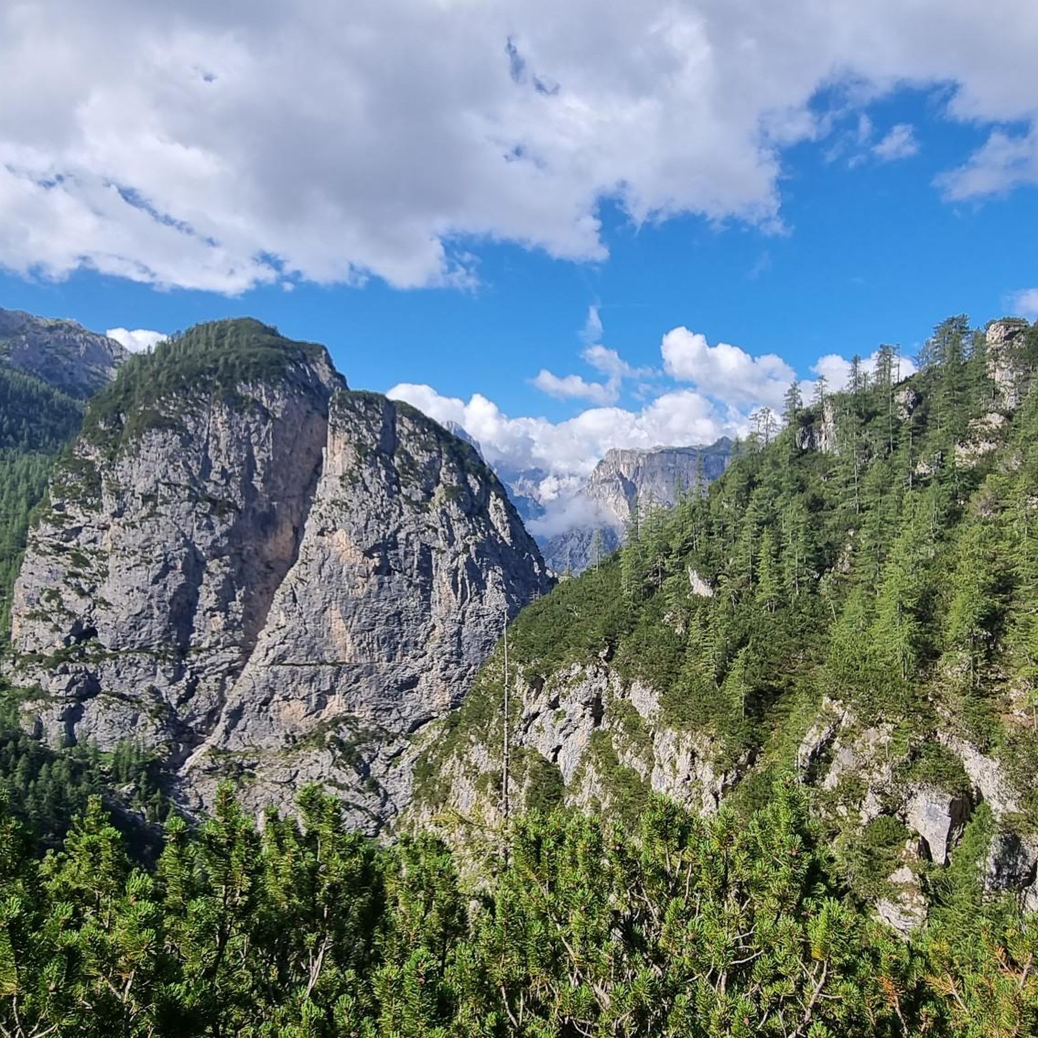
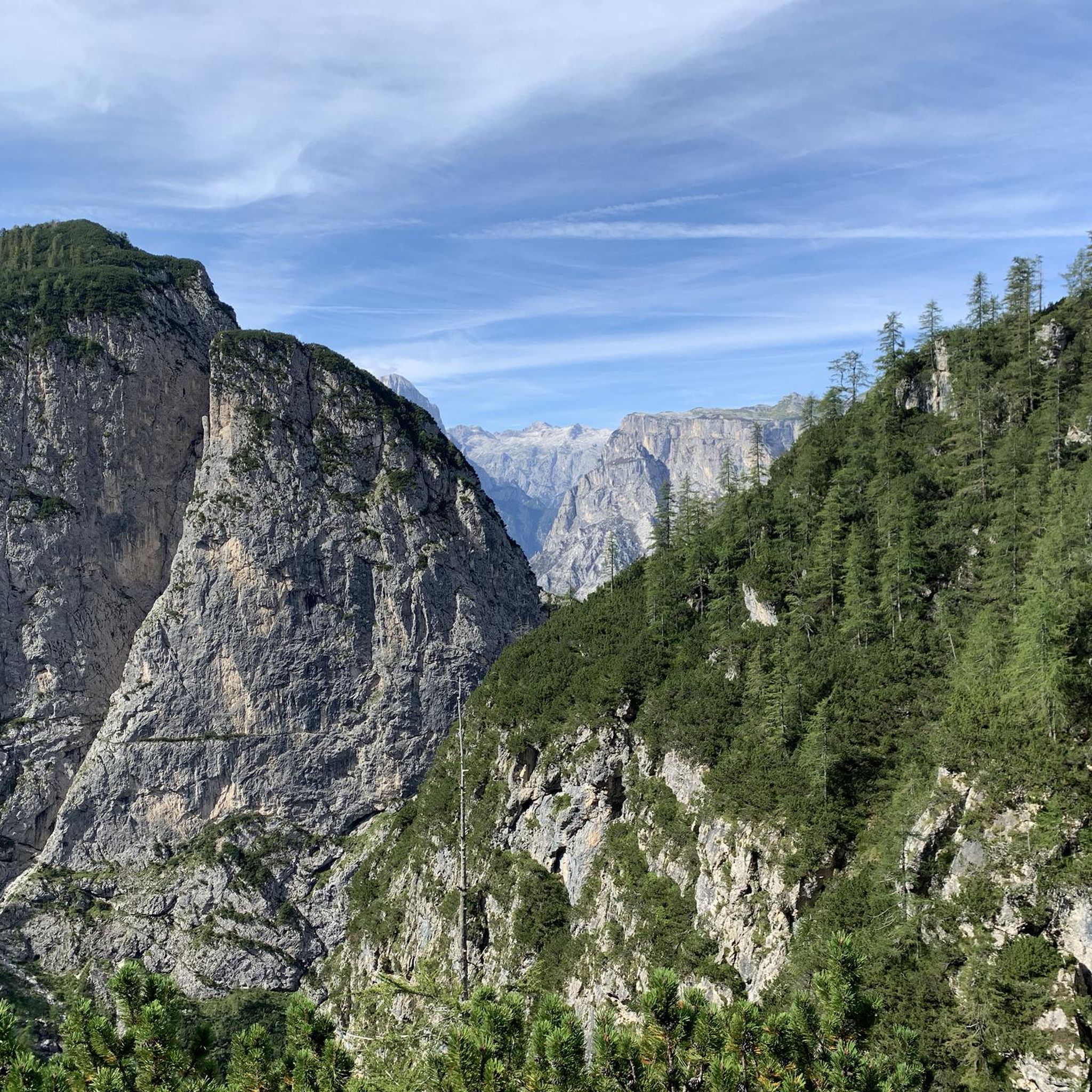
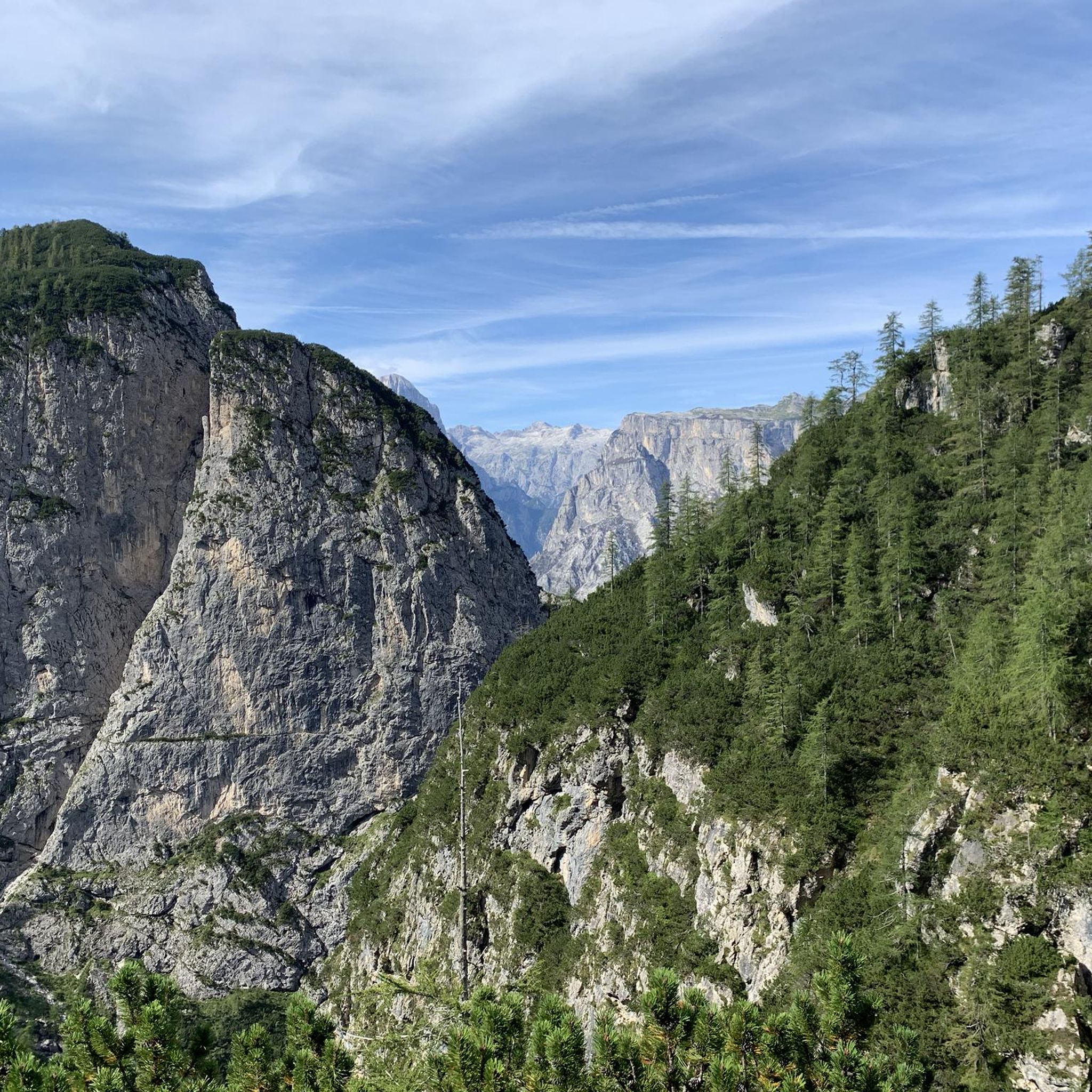
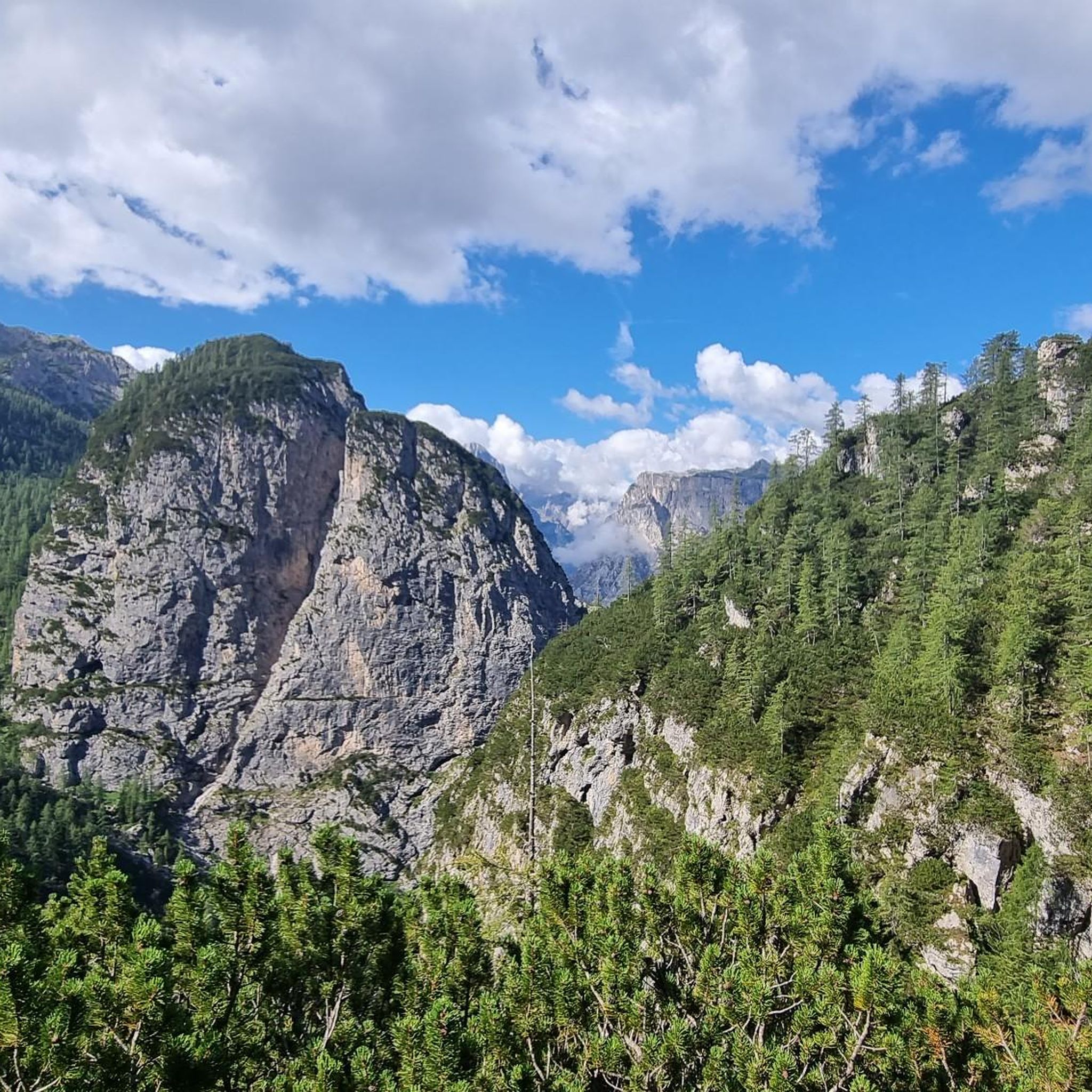
Mountaineering routes around Taibon Agordino are set within the dramatic landscapes of the Dolomites UNESCO World Natural Heritage Site, characterized by towering rock walls, steep cliffs, and deep glacial valleys. The region features imposing peaks like Monte Agner and the Pale di San Lucano, alongside parts of the renowned Monte Civetta group. These geological features offer a diverse range of challenging alpine terrain, making it a prime destination for advanced mountaineering.
Best mountaineering routes around Taibon Agordino
- The most popular…
Last updated: July 18, 2026
4.0
(1)
13
hikers
11.4km
08:57
1,530m
1,530m
Hard mountaineering route. Very good fitness required. Sure-footedness, sturdy shoes and alpine experience required.
5.0
(2)
16
hikers
12.2km
04:38
770m
770m
Hard mountaineering route. Good fitness required. Sure-footedness, sturdy shoes and alpine experience required.

Sign up for free
12
hikers
Moderate mountaineering route. Good fitness required. Easily-accessible paths. Suitable for all skill levels.
10
hikers
13.4km
07:40
1,500m
1,500m
Hard mountaineering route. Very good fitness required. Sure-footedness, sturdy shoes and alpine experience required.
5.0
(1)
9
hikers
10.4km
03:55
660m
660m
Moderate mountaineering route. Good fitness required. Mostly accessible paths. Sure-footedness required.
Get access to more routes and recommendations from other explorers.
Sign up for free
Already have an account?
Our route recommendations are based on thousands of hikes, rides, and runs completed by other people on komoot.
Start today with a free account
Your next adventure awaits.
Login or Signup
Popular around Taibon Agordino
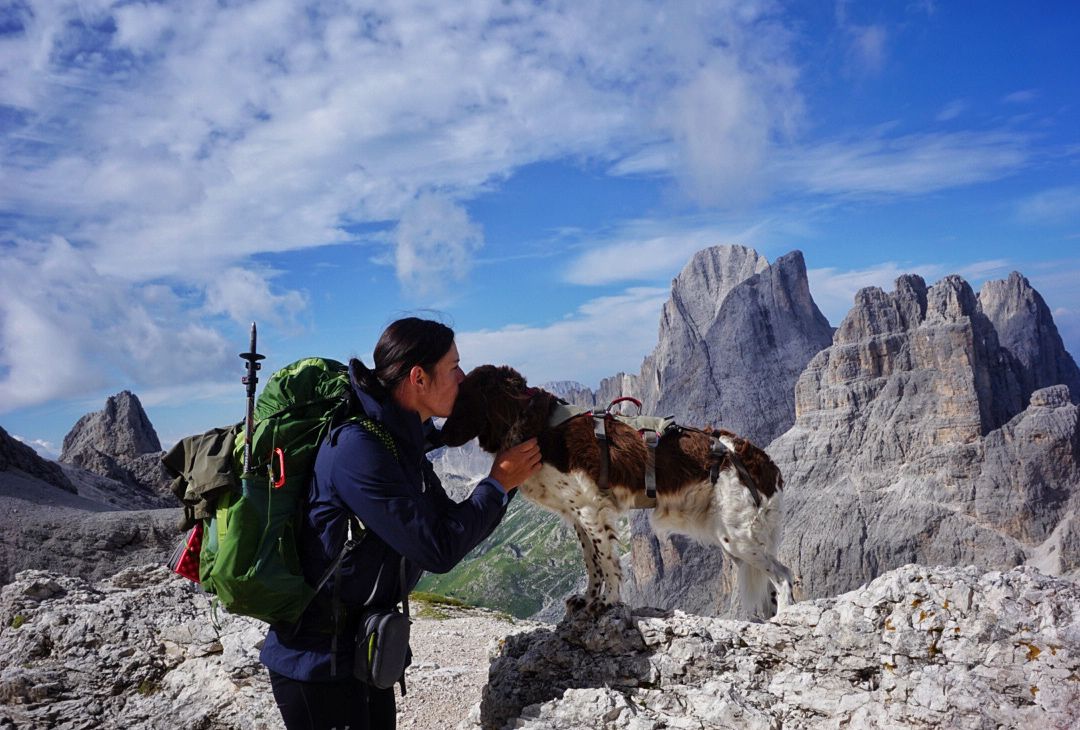
The extra-large Dolomites round – an out-of-this-world hiking adventure
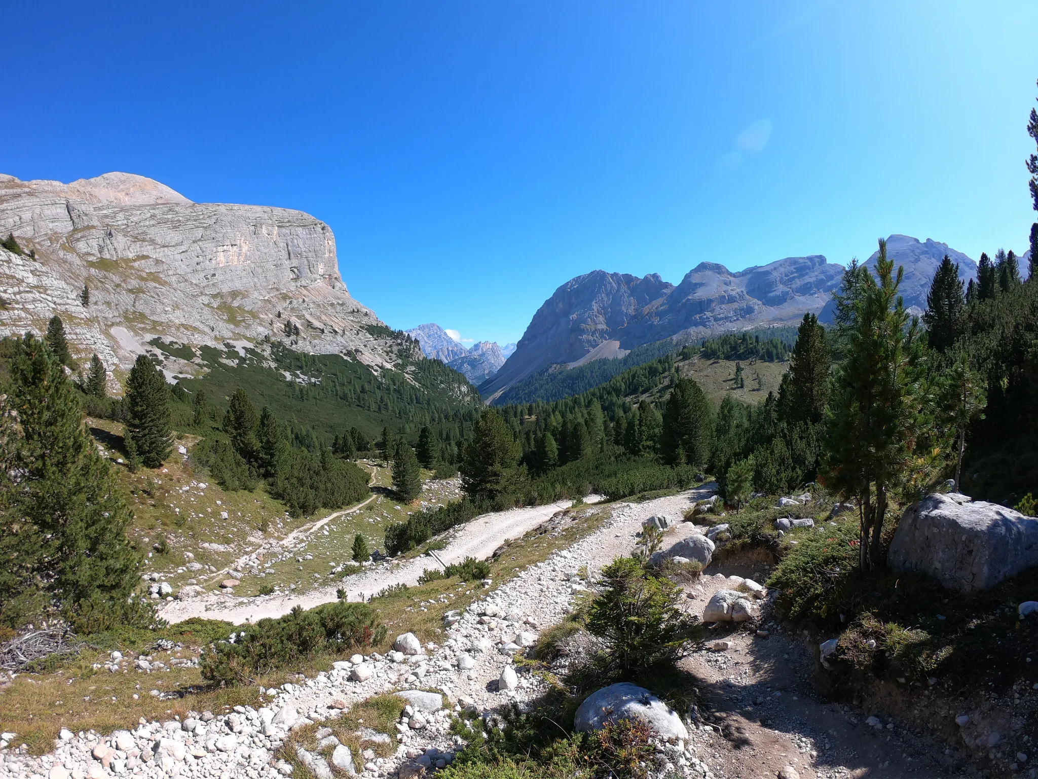
Run through the clouds – Alta Via 1 in the Dolomites
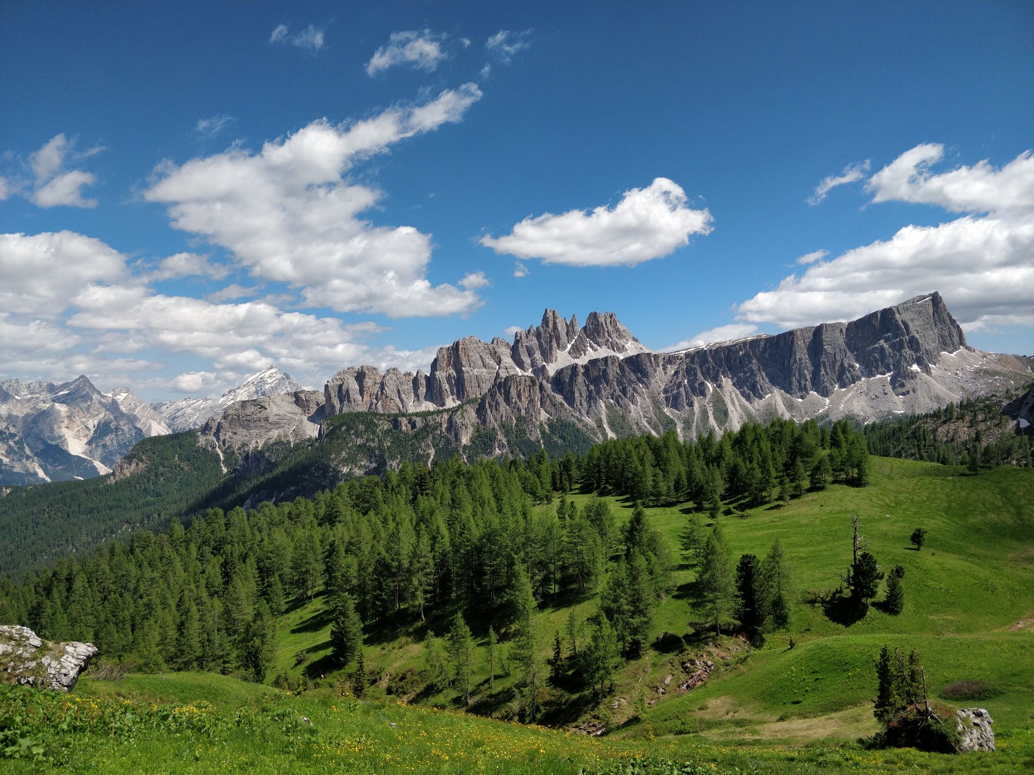
Hiking one step from heaven – Alta Via delle Dolomiti 1
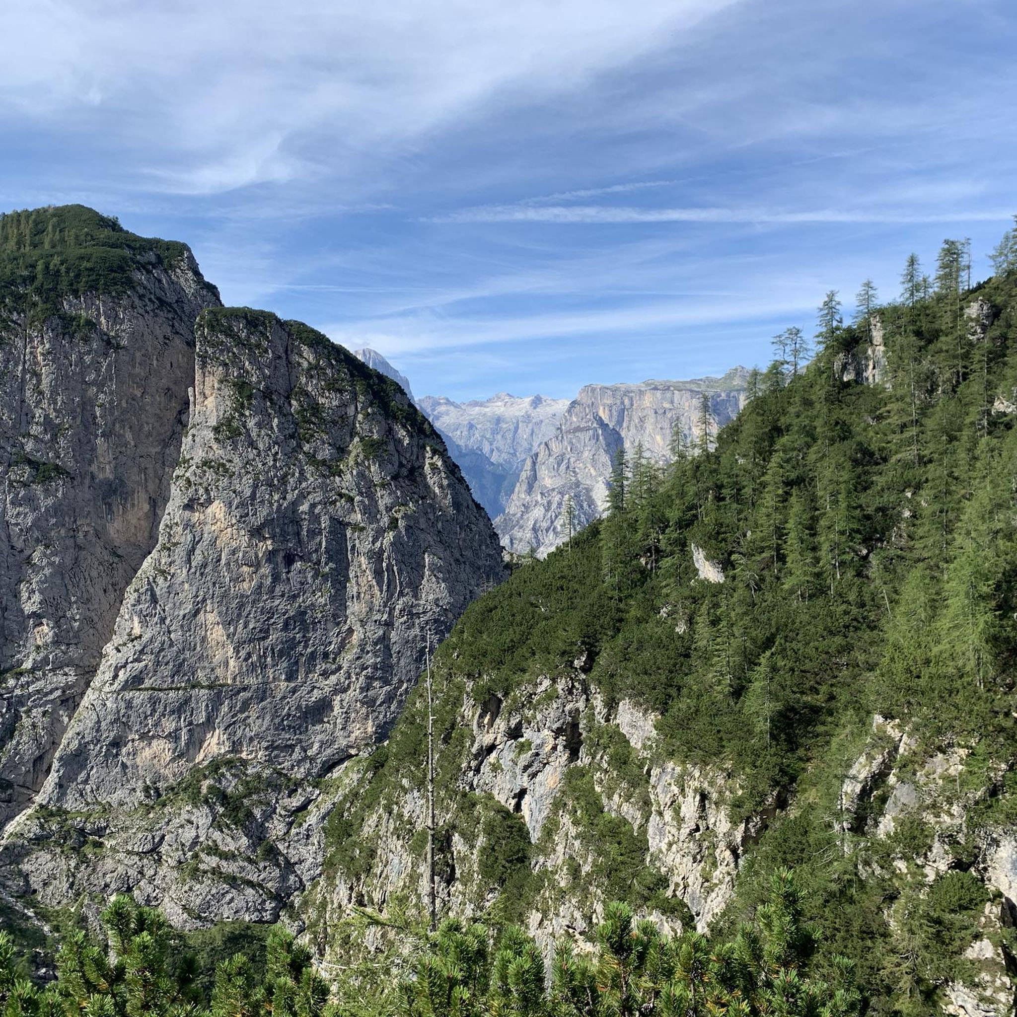
Hiking around Taibon Agordino
Road Cycling Routes around Taibon Agordino
Cycling around Taibon Agordino
MTB Trails around Taibon Agordino
Running Trails around Taibon Agordino

Gravel biking around Taibon Agordino
Other adventures around Taibon Agordino


Tips from the Community

The Ferrata Tissi is often descended in conjunction with the descent via the normal route from Civetta, for example after first climbing to Civetta via the Ferrata Alleghesi. It is classified as C/D, which is slightly more difficult than the Ferrata Alleghesi (C) and is more pleasant to descend than to ascend, as you can go a lot on friction. In addition, you have a longer scree field on the descent, which you would otherwise have to overcome laboriously on the ascent. But of course, you could also ascend the Tissi. Between the start of the via ferrata and the rest, there is usually a snowfield to cross.
0
0

A place like I like it that preserves the true soul of RIFUGIO, not many are left.
0
0

MOUNTAIN GROUP: Civetta TYPE OF REFUGE: Alpine ELEVATION: 1714 m LOCATION: Col Negro di Pelsa MUNICIPALITY: Taibon Agordino (BL) CAI SECTION: Conegliano TELEPHONE: 0437 660008 - 3288867114 E-MAIL: rifugiovazzoler@gmail.com WEB: www.rifugiovazzoler.com OPENING PERIOD: June 13 - September 30 BEDS: 50 EMERGENCY PLATFORM PLACES: 34 EMERGENCY SHELTER: 10 MANAGER: Doris Corazza MANAGER PHONE: 328 8867114 Source: https://www.caiveneto.it/rifugio/vazzoler
1
0

A former disused via ferrata, only the bolts remain without the rope. The sections are very exposed and very risky. Absolutely not recommended!
0
0

Amazing refuge, open for long periods even in winter. Great food, great view.
2
0

For the view and when the refuge is open, for the welcome
1
1
Frequently Asked Questions
How many mountaineering routes are available in Taibon Agordino?
Taibon Agordino offers a wide selection of mountaineering routes, with nearly 50 different tours available. These range from moderate ascents to highly challenging alpine climbs, catering to various skill levels.
What makes Taibon Agordino a unique mountaineering destination?
Taibon Agordino is nestled within the dramatic Dolomites UNESCO World Natural Heritage site, featuring towering peaks like Mount Agner and the Pale di San Lucano. The region boasts deep glacial valleys such as the Valle di San Lucano, extensive trail networks, and iconic climbing areas like the Civetta-Moiazza Group. It's also a key point for two famous Alta Vie (High Routes) of the Dolomites, offering a sense of untouched nature and solitude.
Are there routes suitable for beginners or those seeking less challenging mountaineering?
While many routes are difficult, Taibon Agordino does offer moderate mountaineering options. For example, the Giardino Alpino Antonio Segni – Mario Vazzoler Hut loop from Rifugio Capanna Trieste is a moderate 7.3-mile trail leading through alpine meadows and past mountain huts, providing a less strenuous yet rewarding experience.
What kind of terrain can I expect on mountaineering routes in Taibon Agordino?
You can expect highly varied terrain, from wide forests and charming mountain streams in valleys to incredibly steep walls and vertical rock faces on peaks like Mount Agner and Pale di San Lucano. Some routes, like the Via ferrata Stella Alpina loop from Voltago Agordino, incorporate via ferratas, navigating challenging rock sections and offering an alpine climbing experience.
Can I find routes that pass by waterfalls or lakes?
Yes, the region is rich in natural water features. You can find routes that lead to beautiful alpine lakes like Lake Coldai, a glacial lake offering impressive views of Mount Civetta. Additionally, attractions like the Cascata dell'Inferno (Inferno Waterfall) and the Cascate di Pont add to the natural beauty you might encounter.
Are there multi-day mountaineering opportunities with mountain huts?
Absolutely. Taibon Agordino is a key point for Alta Via number 1 and Alta Via number 2, which are multi-day trekking routes. The presence of numerous refuges and bivouacs, such as Rifugio Capanna Trieste and Rifugio Vazzoler, supports multi-day adventures, allowing you to experience the magical atmosphere of sleeping in the mountains.
What are some less-known or quieter mountaineering routes in Taibon Agordino?
The region is known for its pristine, untouched, and quiet places. While specific 'less-known' routes aren't highlighted, exploring areas like the Val Corpassa, which leads to Rifugio Capanna Trieste and Rifugio Vazzoler, can offer splendid views away from the busiest trails. The Foresta Demaniale di Malgonera also provides opportunities for immersion in nature on less frequented paths.
What are the best spots for panoramic views or photography?
Taibon Agordino offers countless breathtaking viewpoints. The summit of Monte Civetta, accessible via routes like the Monte Civetta Summit loop from Malga Grava, provides expansive views of the surrounding Dolomites. Other notable spots include the Val Corpassa for views of the Civetta and Pelsa groups, and Lake Coldai for unique colors and impressive vistas.
What do other mountaineers say about the routes in Taibon Agordino?
The mountaineering routes in Taibon Agordino are highly rated by the komoot community, with an impressive average score of 4.7 stars from over 70 reviews. Mountaineers often praise the dramatic landscapes, the challenging yet rewarding alpine terrain, and the sense of wild, untouched nature found throughout the region.
Are there any specific natural monuments or historical sites to look out for along the routes?
Yes, the area is rich in points of interest. You might encounter natural monuments like Colbricon Lakes or Passo Rolle. For those interested in history, there are several World War I bunkers and tunnels, such as the Monte Celo World War I Bunker and Cavallazza Tunnels and World War I Trenches, offering a glimpse into the past.
Are there any circular mountaineering routes in Taibon Agordino?
Yes, several routes are designed as loops, allowing you to start and end at the same point. An example is the Mountaineering loop from Voltago Agordino, a moderate 6.5-mile trail that offers a complete experience without retracing your steps.
What is the best time of year for mountaineering in Taibon Agordino?
The best time for mountaineering in Taibon Agordino is typically from late spring to early autumn (June to September), when the weather is most stable and trails are generally free of snow. However, conditions can vary, and some higher altitude routes may retain snow later into the season. Always check local weather and trail conditions before heading out.
Most popular routes around Taibon Agordino
Most popular attractions around Taibon Agordino

Get inspired with the komoot mobile app


Explore more
Browse the best Mountain Hikes & Routes in other regions.
