The best walks and hikes around Cimadolmo
4.1
(600)
3,264
hikers
129
hikes
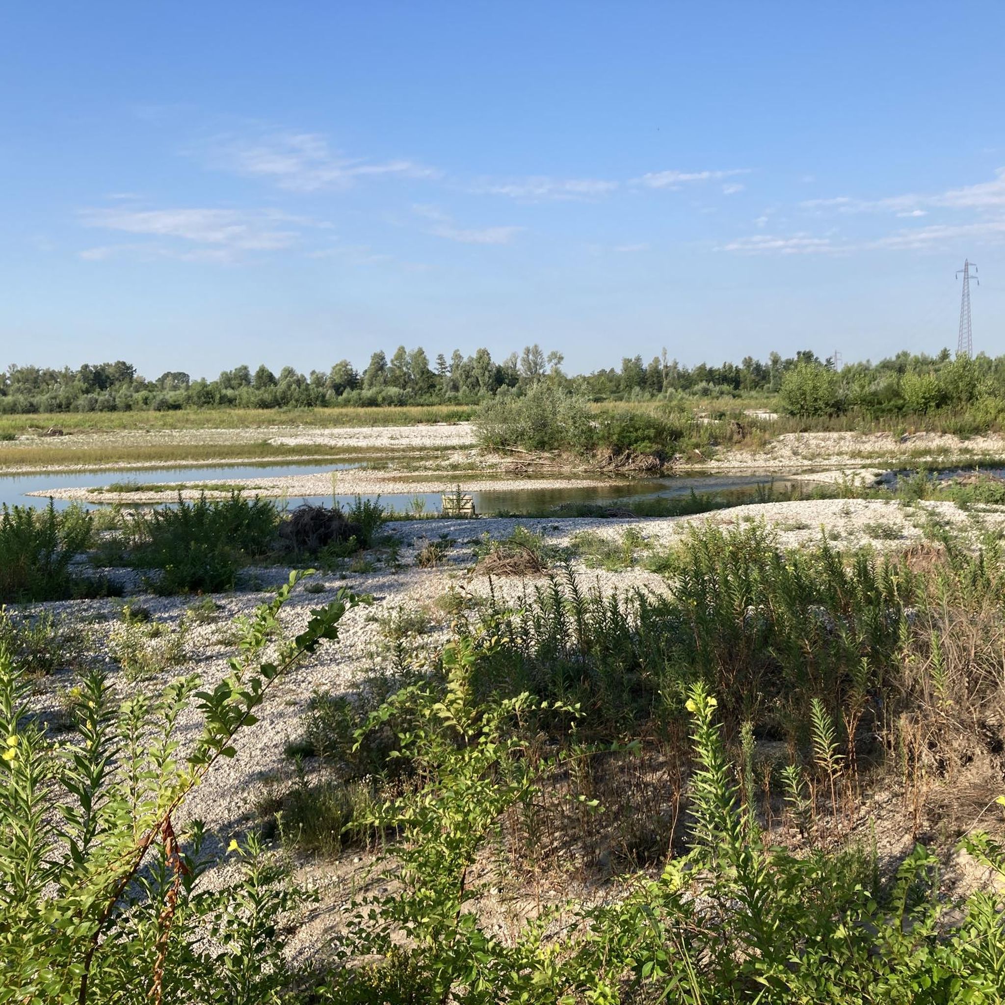
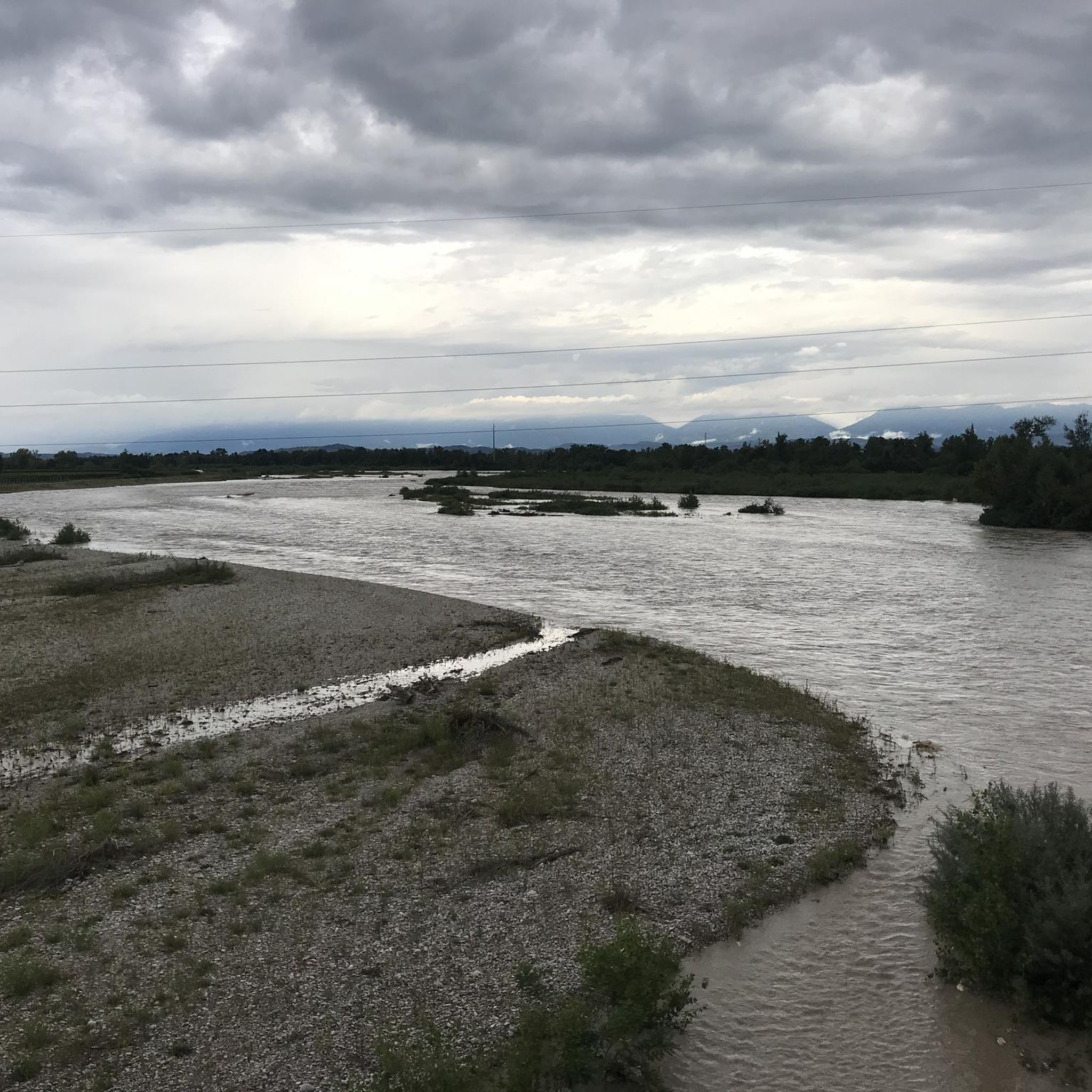
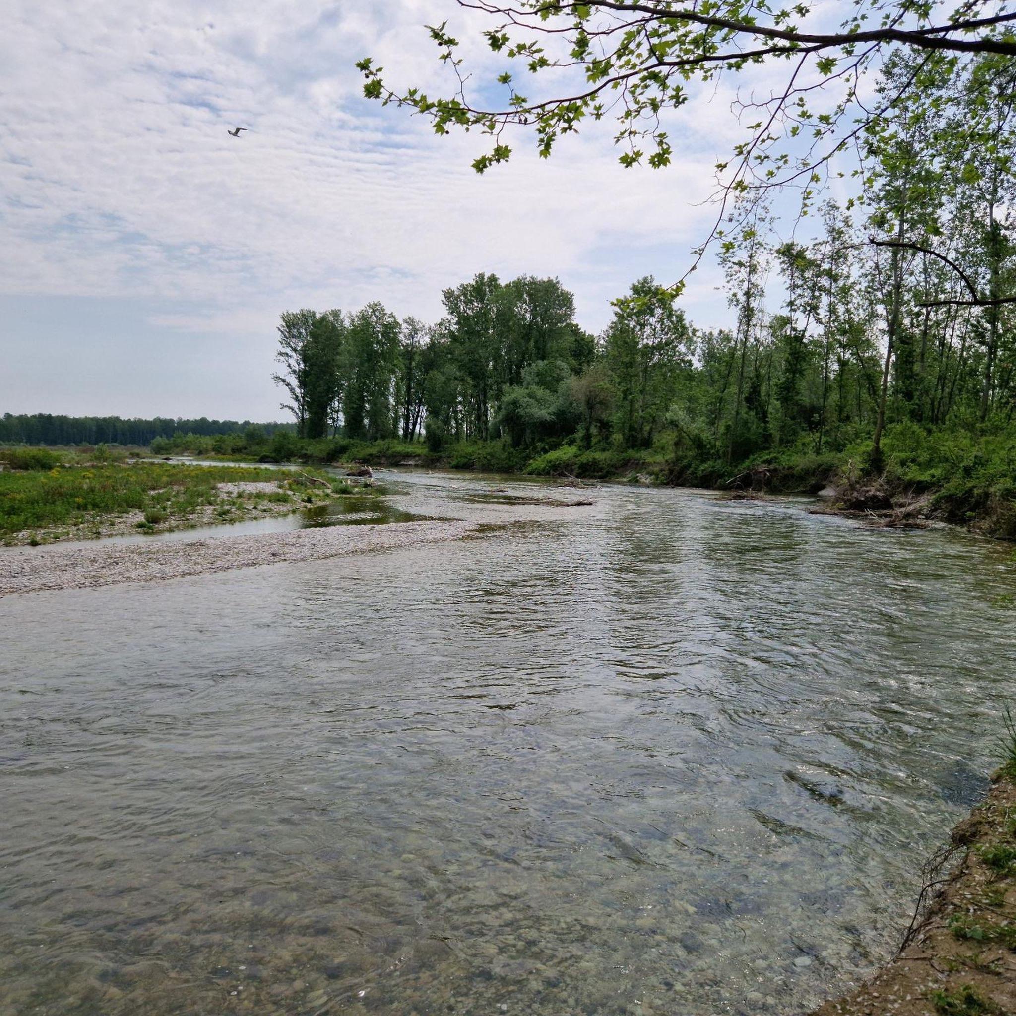
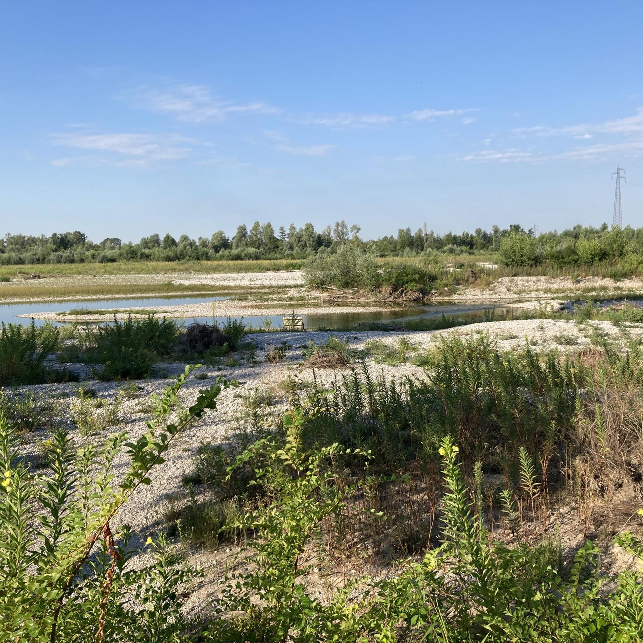
Hiking around Cimadolmo offers access to diverse landscapes shaped by the Piave River and the Montello hill. The region features riverbanks with dirt paths, lush vegetation, and areas of local wildlife. Montello hill, rising to 371 meters, presents a mix of wooded areas, vineyards, and cultivated fields, providing varied scenery. This terrain includes both flat riverside routes and trails with gentle ascents.
Best hiking trails in Cimadolmo
- The most popular hiking route is Along the banks of the Piave in…
Last updated: July 18, 2026
4.0
(2)
8
hikers
10.7km
02:43
20m
20m
Moderate hike. Good fitness required. Easily-accessible paths. Suitable for all skill levels.
5.0
(1)
8
hikers
Moderate hike. Good fitness required. Easily-accessible paths. Suitable for all skill levels.

Sign up for free
6
hikers
7.19km
01:49
10m
10m
Easy hike. Great for any fitness level. Easily-accessible paths. Suitable for all skill levels.
5.0
(1)
5
hikers
Hard hike. Very good fitness required. Easily-accessible paths. Suitable for all skill levels.
5
hikers
4.39km
01:07
10m
10m
Easy hike. Great for any fitness level. Easily-accessible paths. Suitable for all skill levels.
Get access to more routes and recommendations from other explorers.
Sign up for free
Already have an account?
Our route recommendations are based on thousands of hikes, rides, and runs completed by other people on komoot.
Start today with a free account
Your next adventure awaits.
Login or Signup

Tips from the Community

Tour of the Piave shores
0
0

Obligation to stop and reflect
0
0

The signs of the Great War with the trenches https://www.fotografodiguerra.it/le-trincee-lungo-largine-del-fiume-piave/
0
0

Castello Papadopoli Giol is a splendid palace in English neo-Gothic style with ancient origins. On this site, in 1192, the Patriarchs had a defense fort built; since then the name "castle" will remain linked to the place on which this primitive fortress stood. Among the subsequent restoration interventions, the most appreciable are due to the Da Tolentino family and, even more so, to the Papadopoli Counts, who made it their country residence. The structure, as seen today, dates back to 1865. Burned down at the end of the Great War, in 1921 it was purchased and rebuilt by Commendatore Giovanni Giol who preferred not to modify its architecture, trying to preserve its original appearance as much as possible. It is an imposing structure with high crenellated towers, bow windows, chimneys disguised as pinnacles and pointed mullioned windows: you really have the impression of being in front of a real English medieval castle. Even more surprising is the vast historical park: a 13-hectare oasis that has survived to this day almost completely intact in its original beauty. The entire route winds through centuries-old plants, groves and large meadows and a picturesque lake overlooked by the castle with two islands that can be reached by boat or on foot. There you can find royal perch, largemouth bass, tench, sardole, carp, chub and eels. Magnificent examples of centuries-old trees alternate in a setting of rare beauty: beeches, maples, oaks, cedars, magnolias, holm oaks, ginkgo biloba. https://www.castellogiol.it
3
0

Sunrise on the embankment of the Piave river in Ponte di Piave.
12
0
Beautiful single track that runs parallel along the Piave river.
13
0
Directions for the Piave cycle path which runs parallel to the Piave river towards Negrisia.
12
0
The Fagarè Shrine is located in the municipality of San Biagio Di Callalta, on the Treviso-Oderzo road, 20 km from Treviso. Built in 1935 to a design by the architect Pietro Del Fabro, the monument, in neoclassical style, is made entirely of light marble, and develops through a portico in the shape of a large elongated exedra, enclosed between two robust terminal bodies, and a short staircase which runs along the facade. In the portico there are nine naves with a barrel vault. The two terminal bodies consist of a large vestibule and an internal nave. In the vestibules some plaques are displayed which recall the main historical events of the Great War: among these, two reproduce the graphics of the area in which the first and second Battle of the Piave were fought with the opposing sides.
18
0
Frequently Asked Questions
How many hiking trails are available around Cimadolmo?
There are over 110 hiking routes around Cimadolmo, offering a wide range of options for different preferences and skill levels. These trails explore the diverse landscapes of the Piave River and the Montello hill.
What kind of terrain can I expect on hikes near Cimadolmo?
The terrain around Cimadolmo is varied. You'll find flat dirt paths along the Piave River, offering serene walks through lush vegetation. The Montello hill, on the other hand, provides a mix of wooded areas, vineyards, and cultivated fields, with trails that include gentle ascents and panoramic views. The region offers a blend of riverside routes and more elevated paths.
Are there any easy hiking trails suitable for beginners or families?
Yes, Cimadolmo offers a good selection of easy trails. Approximately 48 of the routes are classified as easy, making them suitable for beginners or families looking for a relaxed outdoor experience. These often include the flat riverside paths along the Piave.
What natural landmarks or features can I see while hiking?
The region is rich in natural beauty. You can explore the banks of the Piave River, observing local wildlife. The Montello hill offers varied scenery and panoramic views. Specific natural highlights include the Source of the Meolo River, the Majestic Black Poplar, and the Parco delle Grave and Murazzi of Spresiano.
Are there any historical sites or castles to visit near the hiking trails?
Yes, the area around Cimadolmo is historically significant, particularly due to its role in World War I. You can find remnants of this past along the Piave River. For historical sites, consider visiting the Castello di San Salvatore (Susegana) or the Conegliano Castle, both offering cultural insight and scenic vistas.
Are there any circular hiking routes in the area?
Yes, there are several circular routes available. An example is the Lago delle Bandie loop from Lovadina, which circles a lake and typically takes about 2 hours 11 minutes. Another option is the River Access Point loop from A.D.M Arredamenti De Martin, which explores riverside landscapes.
What do other hikers say about the trails in Cimadolmo?
The komoot community highly rates the trails in Cimadolmo, with an average score of 3.9 stars from over 500 reviews. Hikers often praise the varied terrain, from the peaceful Piave riverbanks to the scenic Montello hill, and the opportunities to explore both natural beauty and historical sites.
Is the area suitable for dog-friendly hikes?
Many of the natural trails along the Piave River and through the Montello hill's wooded areas are suitable for hiking with dogs. Always ensure your dog is under control, especially in areas where local wildlife like hares might be present, and respect any local regulations regarding pets on trails.
What is the best time of year to go hiking in Cimadolmo?
The region offers varied scenery throughout the seasons, making it enjoyable for hiking for much of the year. Spring and autumn typically provide pleasant temperatures and beautiful landscapes, with Montello hill's vineyards and cultivated fields changing colors. Summer can be warm, but riverside paths offer cooler options.
How long do hikes near Cimadolmo typically take?
Hiking durations vary significantly depending on the route's length and difficulty. For instance, an easy route like the River Access Point loop from Spresiano can take around 1 hour 7 minutes, while a more challenging route such as Along the banks of the Piave in the town of Ponte del Piave can take over 6 hours.
Are there any particularly challenging hikes for experienced hikers?
Yes, for experienced hikers looking for a challenge, there are more difficult routes. An example is Along the banks of the Piave in the town of Ponte del Piave, a difficult 15.0-mile (24.2 km) trail. Another is On the banks of the Piave – Fagarè Military Memorial loop from Grave di Papadopoli, which is 16.1 miles (25.9 km) long.
Is there parking available at the trailheads?
While specific parking information for every trailhead is not provided, it is generally advisable to look for designated parking areas in towns or near popular access points along the Piave River or at the base of Montello hill. Many routes start from accessible locations where local parking can be found.
Can I access hiking trails using public transport?
Information on specific public transport links directly to trailheads is not detailed. However, Cimadolmo is situated in the province of Treviso, which has a regional public transport network. It is recommended to check local bus schedules for connections to towns near your chosen starting points.
Most popular routes around Cimadolmo
Most popular attractions around Cimadolmo

Get inspired with the komoot mobile app


Explore more
Browse the best Hikes in other regions.
