The best road cycling routes around Stocken-Höfen
4.5
(762)
17,694
riders
215
rides
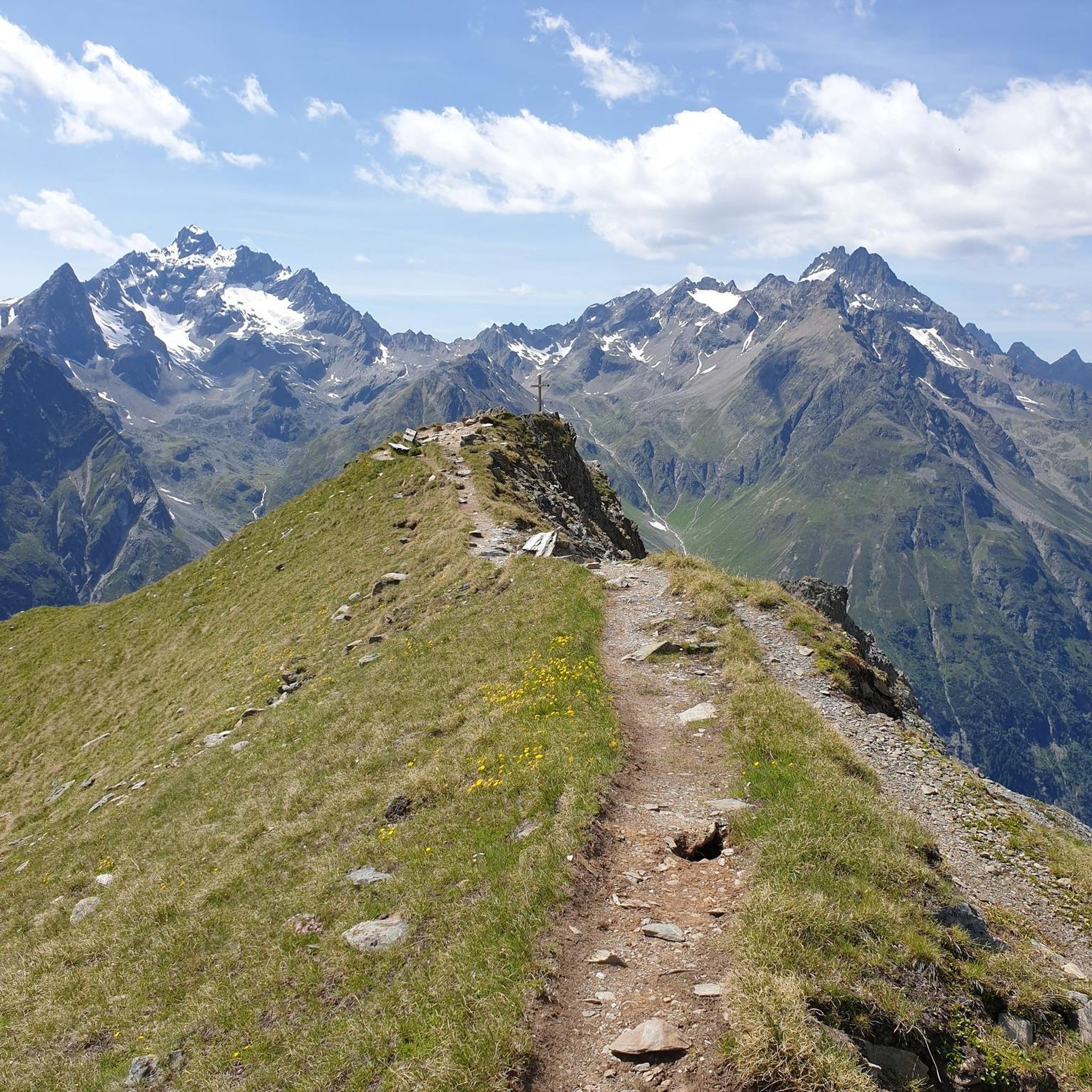
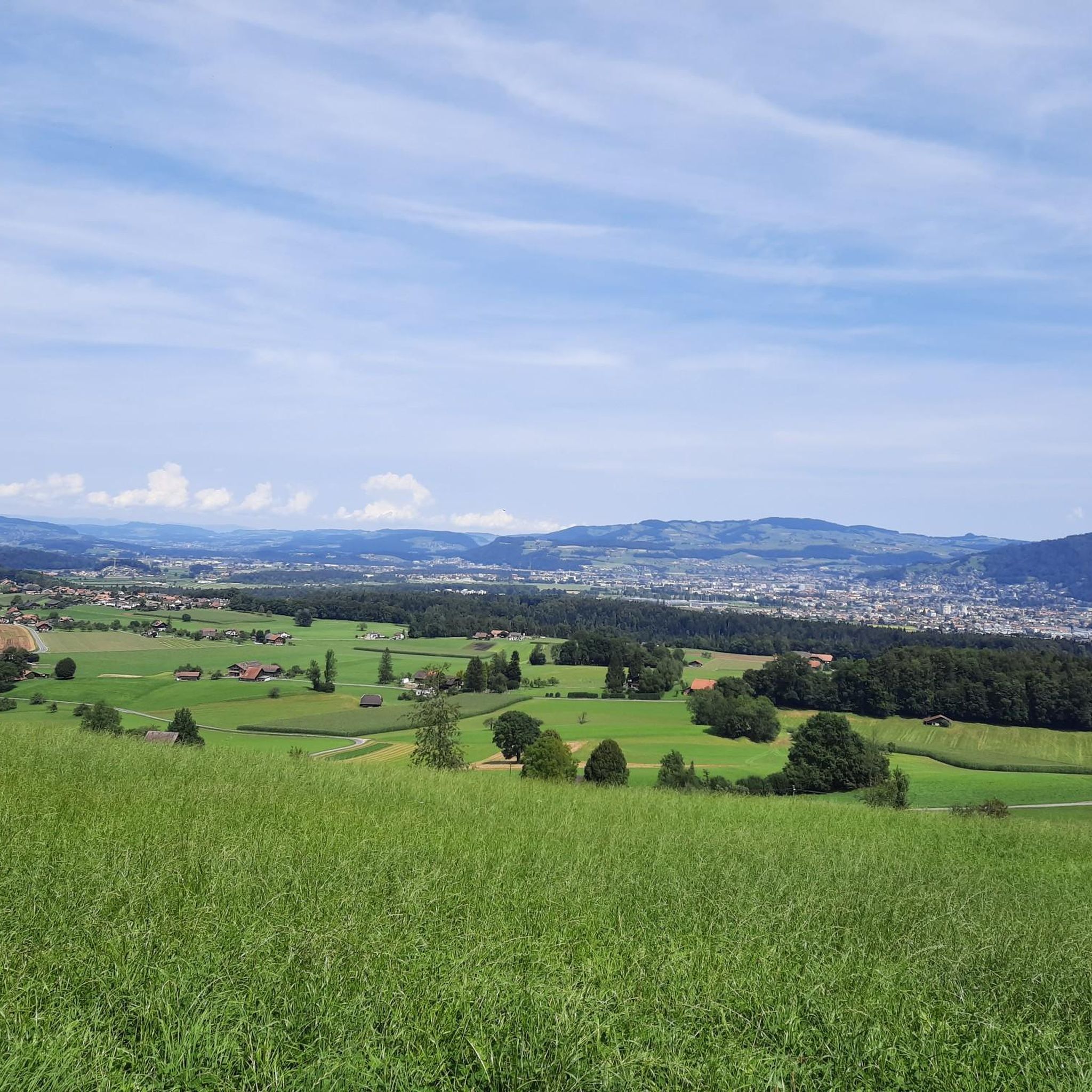
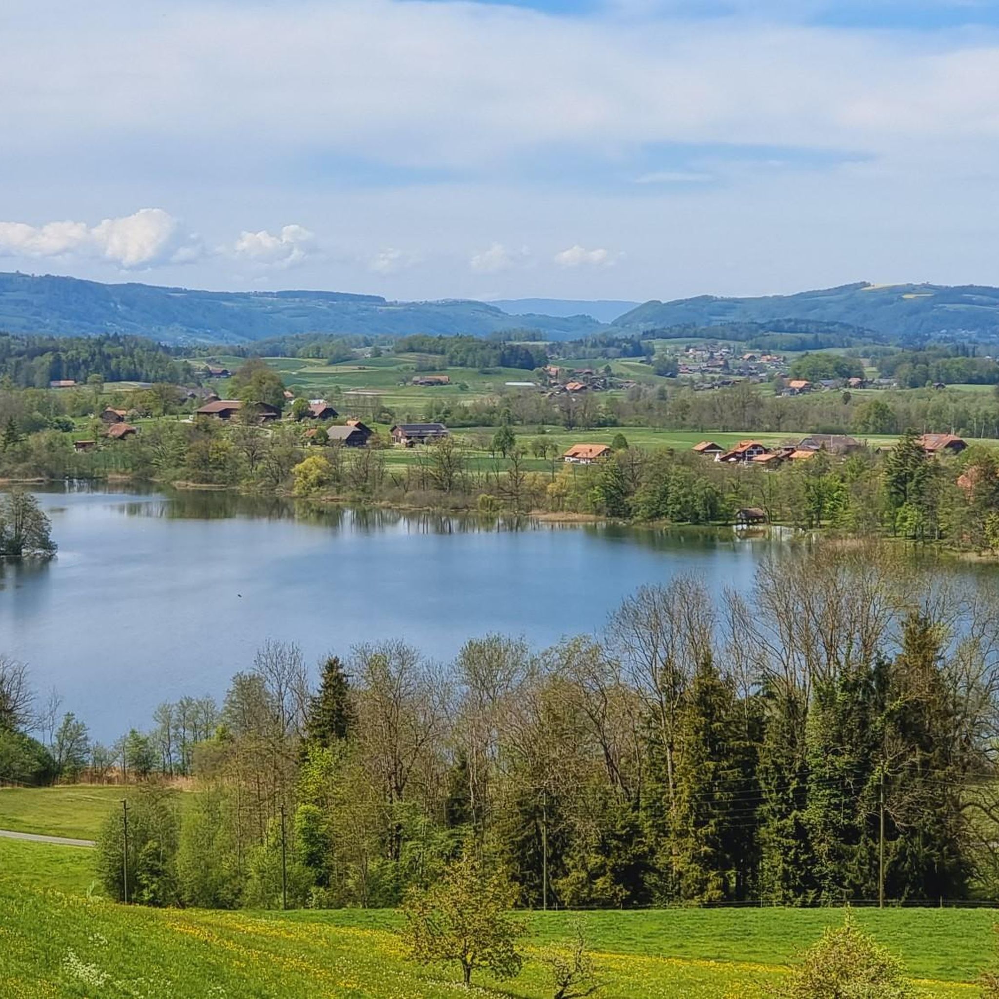
Road cycling routes around Stocken-Höfen are located in the Bernese Oberland, offering varied terrain from rolling hills to challenging ascents. The region features elevations ranging from approximately 616 meters to 2190 meters above sea level, providing opportunities for climbs and descents with views of the Stockental valley and Bernese Alps. Cyclists can expect routes that pass by lakes such as Amsoldingen and Uebeschi, often on low-traffic, paved roads.
Best road cycling routes around Stocken-Höfen
- The most popular road cycling route…
Last updated: August 4, 2026
64
riders
37.5km
01:37
300m
300m
Moderate road ride. Good fitness required. Mostly well-paved surfaces and easy to ride.
100
riders
18.8km
01:56
130m
130m
Easy road ride. Great for any fitness level. Mostly well-paved surfaces and easy to ride.

Sign up for free
4.3
(3)
25
riders
25.8km
01:13
240m
240m
Easy road ride. Great for any fitness level. Mostly well-paved surfaces and easy to ride.
3.0
(2)
33
riders
22.0km
01:04
330m
330m
Moderate road ride. Good fitness required. Mostly well-paved surfaces and easy to ride.
3.7
(3)
22
riders
29.1km
01:18
230m
230m
Easy road ride. Great for any fitness level. Mostly well-paved surfaces and easy to ride.
Get access to more routes and recommendations from other explorers.
Sign up for free
Already have an account?
Our route recommendations are based on thousands of hikes, rides, and runs completed by other people on komoot.
Start today with a free account
Your next adventure awaits.
Login or Signup

Tips from the Community

The church of Einigen is over 1000 years old and the landmark of the Oberland village of Seedorf! It is located directly on the Way of St. James and is considered the oldest of the "Twelve Thousand-Year-Old Lake Thun Churches". Due to its uniquely beautiful location, weddings are regularly held here. The dates are already fully booked long in advance. Incidentally, the church bells are still rung by hand even today!
0
0


A super flat route. However, if you approach from the gravel side, you'll mostly be riding against the wind.
0
0
Lake Gerzensee is privately owned. It's not possible to walk around it. From Kirchdorf, there's a dirt road that leads to a wonderful seating area.
0
0

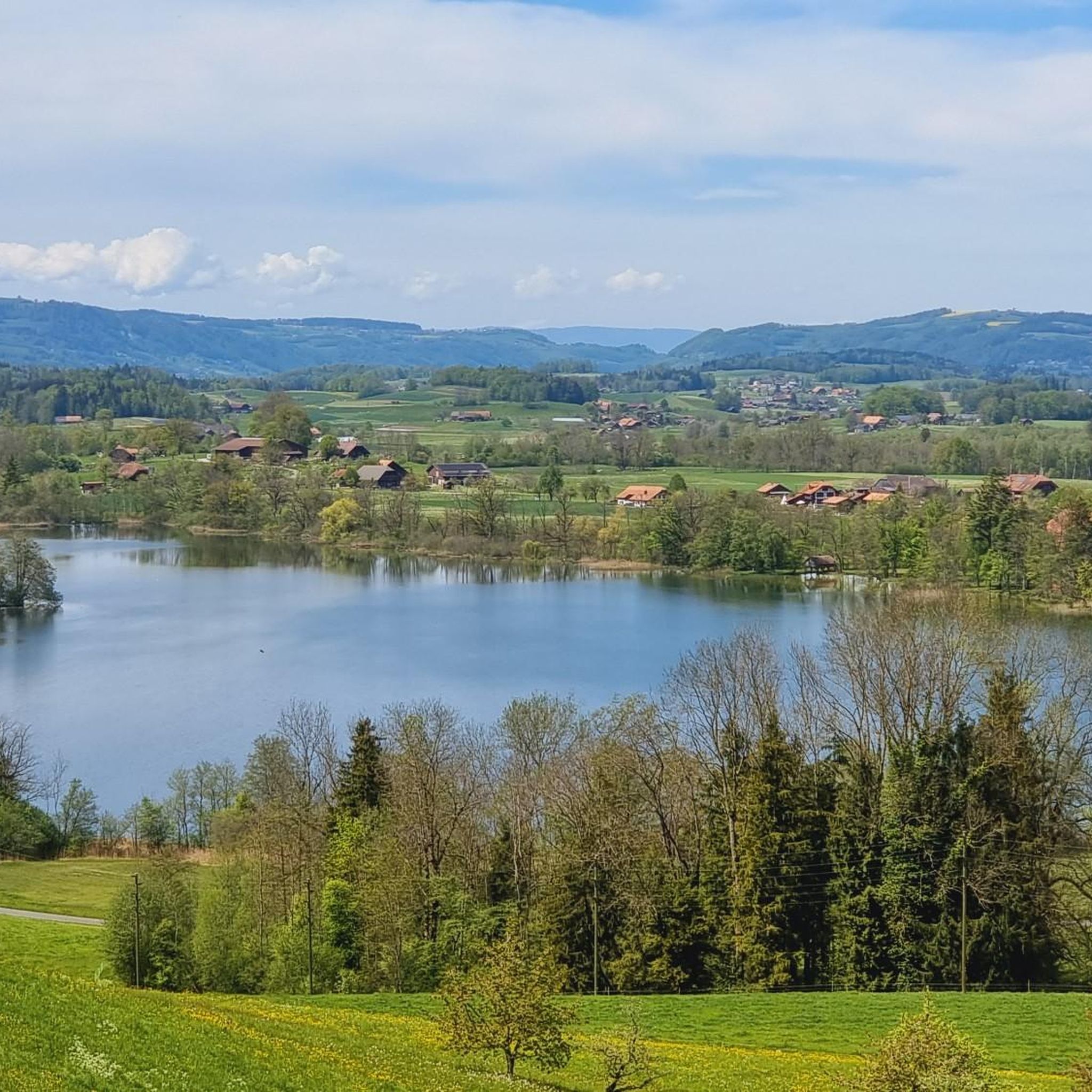
Lake Gerzen is a lake located between the villages of Gerzensee, Mühledorf, and Kirchdorf in the canton of Bern, Switzerland. Its water level is at an average elevation of 603 meters above sea level. At normal water levels, the lake is approximately 8.5 meters deep on average and reaches a maximum of 11 meters deep, and has a surface area of 0.25 km², making it one of the medium-sized pre-Alpine lakes in Switzerland.
1
0
Thierachern is a municipality in the Swiss canton of Bern. It belongs to the administrative district of Thun. It is located just under five kilometers from Thun's city center. Thierachern does not have a specific village center, but is divided into five subdivisions (Wahlen, Dorf, upper, middle, and lower Schwand, and Brügg).
1
0

On the road from Uttigen to Jaberg you will not find the attached pictures
0
0
Chinese restaurant also with Swiss cuisine
0
0
Frequently Asked Questions
How many road cycling routes are available in Stocken-Höfen?
There are over 220 road cycling routes around Stocken-Höfen, offering a wide variety of options for different skill levels and preferences.
What kind of terrain can I expect when road cycling in Stocken-Höfen?
Road cycling in Stocken-Höfen features diverse terrain, from rolling hills to challenging ascents and descents. The region's elevation ranges from approximately 616 meters to 2190 meters above sea level, providing opportunities for significant climbs and rewarding descents with breathtaking views of the Stockental valley and Bernese Alps.
What are the difficulty levels of road cycling routes in Stocken-Höfen?
The routes in Stocken-Höfen cater to various abilities. You'll find 56 easy routes, 124 moderate routes, and 42 more difficult routes, ensuring there's a suitable challenge for every road cyclist.
What scenic views can I expect on road cycling routes in Stocken-Höfen?
Many routes offer stunning vistas of the Stockental valley and the Bernese Alps. You can also expect to pass by serene lakes like Amsoldingen and Uebeschi, and cycle through picturesque natural reserves. For panoramic views, consider visiting the Blueme Observation Tower.
Are there any notable landmarks or points of interest along the road cycling routes?
Yes, several routes offer access to interesting landmarks. You might encounter the Strättligsteg footbridge over the Kander River, or enjoy views of the Kander Gorge from Hanissteg. The Cholerenschlucht Gorge is another natural highlight in the vicinity.
Do any routes pass by lakes or natural reserves?
Absolutely. The region is known for its beautiful lakes and natural areas. For example, the Übeschisee loop from Amsoldingen winds past lakes and through natural areas, including the Seeliswald nature reserve, offering a refreshing blend of activity and nature immersion.
What do other cyclists say about the routes in Stocken-Höfen?
The road cycling routes in Stocken-Höfen are highly rated by the komoot community, with an average score of 4.5 stars from over 600 reviews. Cyclists often praise the varied terrain, the breathtaking Alpine panoramas, and the low-traffic, well-paved roads.
Are there any easy, family-friendly road cycling routes in Stocken-Höfen?
Yes, there are several easy routes suitable for families. The View of Thun – Zwieselberg Scenic Road loop from Reutigen is an easy 37.5 km route offering scenic views. Another option is the View of Thun – Scenic Cycle Path in Oberland loop from Thierachern, which is 25.8 km and leads through scenic cycle paths.
Are there circular road cycling routes available?
Many of the routes in Stocken-Höfen are designed as loops, allowing you to start and end at the same point. Examples include the Aeschi Village loop from Zwieselberg and the View of Thun – View of Gerzensee loop from Thierachern, both offering diverse scenery.
What is the best time of year for road cycling in Stocken-Höfen?
The Bernese Oberland, including Stocken-Höfen, is generally best for road cycling during the warmer months, typically from late spring to early autumn. This period offers more stable weather conditions and ensures that higher elevation passes are clear of snow, allowing access to the full range of routes and their stunning Alpine views.
Are the roads suitable for road cycling?
Yes, the region is noted for its low-traffic roads and often paved surfaces, which are ideal for road cycling. This allows for a more enjoyable and safer riding experience, letting you focus on the scenery and the ride itself.
Most popular routes around Stocken-Höfen
Most popular attractions around Stocken-Höfen

Get inspired with the komoot mobile app


Explore more
Browse the best Road cycling routes in other regions.
