The best road cycling routes around Arzergrande
4.4
(82)
2,634
riders
33
rides
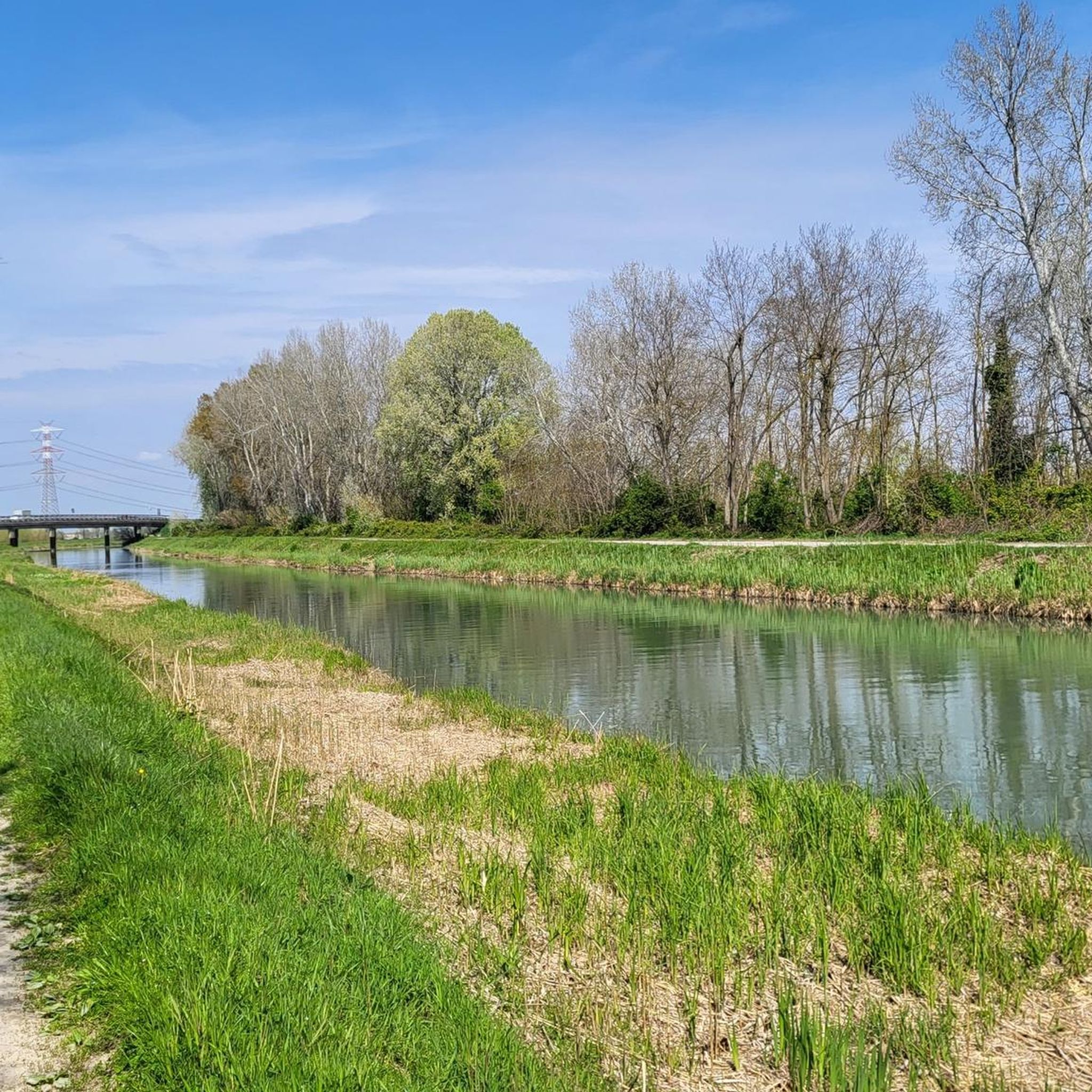
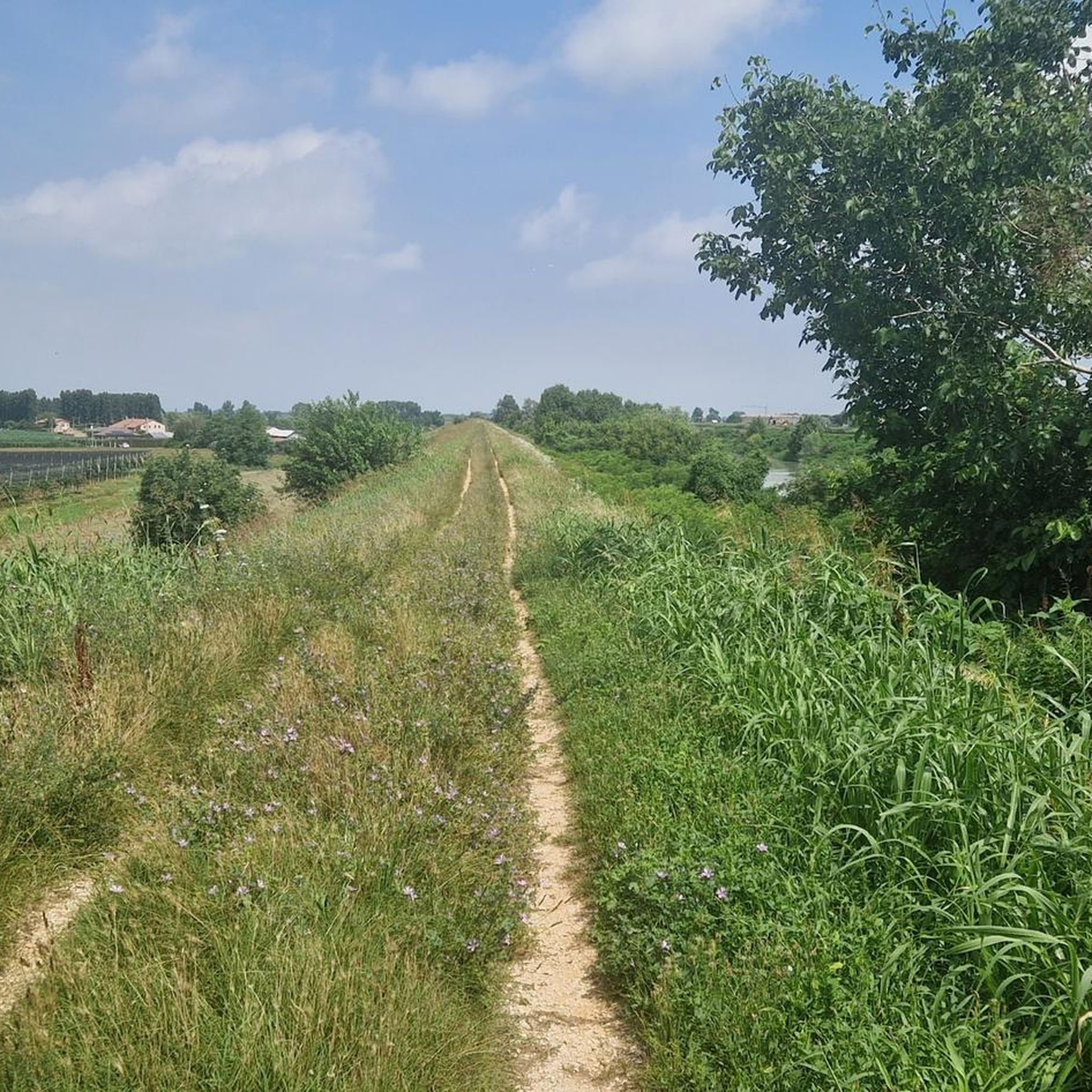
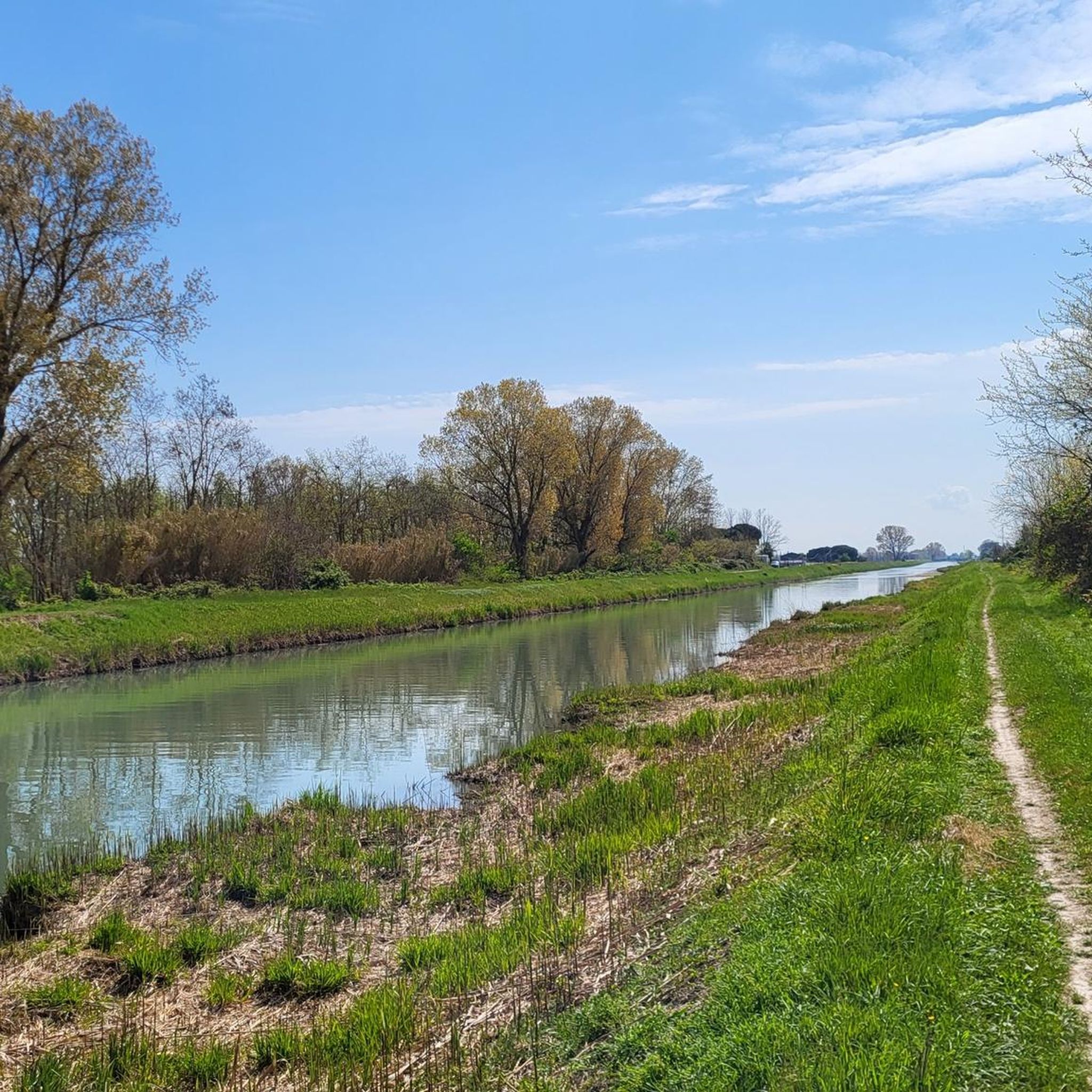
Road cycling around Arzergrande is characterized by its flat terrain and proximity to the Venetian lowland, making it suitable for various fitness levels. The region offers extensive networks of cycling itineraries that blend natural and cultural sights. Cyclists can explore routes near the Adige River and the Venetian Lagoon, providing diverse waterside panoramas. The area also features natural attractions such as Boschettona Beach and the Valle Millecampi, which are accessible by bike.
Best road cycling routes around Arzergrande
- The most…
Last updated: May 20, 2026
4.2
(9)
193
riders
63.9km
02:32
60m
60m
Moderate road ride. Good fitness required. Some segments of this route may be unpaved and difficult to ride.
66
riders
113km
05:22
1,320m
1,320m
Hard road ride. Very good fitness required. Mostly well-paved surfaces and easy to ride.

Sign up for free
39
riders
129km
05:30
880m
880m
Hard road ride. Very good fitness required. Mostly well-paved surfaces and easy to ride.
18
riders
66.7km
02:32
70m
70m
Moderate road ride. Good fitness required. Mostly well-paved surfaces and easy to ride.
23
riders
82.0km
03:38
630m
630m
Moderate road ride. Good fitness required. Mostly well-paved surfaces and easy to ride.
Get access to more routes and recommendations from other explorers.
Sign up for free
Already have an account?
Our route recommendations are based on thousands of hikes, rides, and runs completed by other people on komoot.
Start today with a free account
Your next adventure awaits.
Login or Signup

Tips from the Community

It is a 15th-century building in the Venetian Gothic style. The palace is located in the center of the village
0
0

Tugboat Pavia
0
0

One of the major projects completed during the Fascist era is the Sottomarina Dam, which, together with the Ca' Roman Dam built a few years earlier, completes the mouth of the Port of Chioggia. Construction began in the years following the First World War. Like the Murazzi (sea walls), the dam was constructed of brick and boulders of local Istrian stone and, in addition to finally completing the entrance to the Port of Chioggia, also allowed for a further expansion of the beach. The inauguration, as mentioned, took place in the midst of the Fascist regime on April 28, 1935, in the presence of the Duke of Aosta. The dam was immediately embraced by the local population, especially the residents of Sottomarina, a popular destination for their walks, so much so that many refer to it as "Sailors' Square." Text / Source: Lidi di Chioggia https://www.lididichioggia.it/la-diga-murazzi/
15
0
The Dam and the Walls, Sottomarina The Dam and the Walls The Walls are Istrian stone walls built by the Republic of Venice starting in the late 18th century to protect the inhabited centers of the lagoon from marine erosion. They are divided into three sections: one on the island of Lido, a second on the island of Pellestrina as far as Cà Roman, and a third along the coast of Sottomarina, running from Forte San Felice to the center of Sottomarina at a height of approximately 1200 meters. The famous War of Chioggia led to the complete destruction of Sottomarina, which became an uninhabited area, exposed to the sea without any protection and subject to frequent flooding. Reconstruction, which included the construction of the Walls, did not begin until 1600. The Walls along Via San Felice were more than 5 kilometers long and over 300 meters wide. They were built from square stones, primarily Istrian stone, erected on stilts extending to the Pellestrina coast and, of course, the Sottomarina coast. Initially, given the scale of the project and the lack of adequate equipment, construction seemed impossible, so it took thirty-eight years to complete in 1770. Legend has it that the inscription "Ausu romano, aere veneto" (With Roman boldness, with Venetian money) was already in place. The inscription is still visible when passing by on the Chioggia-Pellestrina vaporetto. The Murazzi ceased to function between the late 19th and early 20th centuries when the receding sea revealed an unexpected beach, thus forming a symbolic dividing line between "old" and "new" Sottomarina. Today, the Murazzi di Sottomarina are located about one kilometer from the sea: this has allowed for a large-scale revival of coastal tourism. The Murazzo now connects the entire Venetian coast, especially the outer islands, like a cordon, leaving only the three bays open, thus preserving the lagoon's waters. Text / Source: Lidi di Chioggia https://www.lididichioggia.it/la-diga-murazzi/
15
0
Roverello Pass in the heart of the Euganean Hills (269 m) / Province of Padua / Veneto Region The Roverello Pass lies in the heart of the Euganean Hills on the SP99 provincial road from Galzignano Terme to Fontanafredda. This pass can also be reached by taking the narrow side road south from Valico del Roccolo towards Arquà Petrarca. Thus, the pass lies on both an east-west and a north-south route through this magnificent volcanic landscape in the middle of the Po Valley. The pass is situated between the highest peak of the Euganean Hills, Monte Venda (601 m) to the north, and Monte Peraro (376 m) to the south. Near the summit, there is a small parking area with tables and benches, perfect for a short break. Text / Source: Quaeldich.de https://www.quaeldich.de/paesse/passo-roverello/ostauffahrt-von-galzignano-terme/
16
0

Ancient water mill located in the village of Pontemanco in the Due Carrare area.
1
0

ice cream shop with satispay
0
0

Beautiful iconic bike tour between sea and land
1
0
Frequently Asked Questions
What kind of terrain can I expect when road cycling around Arzergrande?
Arzergrande is characterized by its predominantly flat terrain, making it ideal for road cycling. Routes often traverse the picturesque Venetian lowland, offering smooth surfaces and manageable distances suitable for various fitness levels. You'll find scenic paths along the Adige River and near the Venetian Lagoon.
How many road cycling routes are available in the Arzergrande area?
There are over 25 road cycling routes around Arzergrande documented on komoot. These routes cater to different skill levels, including 9 easy, 13 moderate, and 4 difficult options, ensuring there's a suitable ride for every cyclist.
Are there any easy road cycling routes suitable for beginners in Arzergrande?
Yes, Arzergrande offers several easy road cycling routes perfect for beginners. The flat plains and well-maintained paths provide a comfortable riding experience. You can find around 9 easy routes, allowing you to enjoy the scenery without significant climbs.
What are some scenic highlights or natural features I can see while cycling near Arzergrande?
Road cycling routes around Arzergrande offer diverse natural beauty. You can explore areas near the Adige River and the Venetian Lagoon, providing unique waterside panoramas. Notable natural attractions include Boschettona Beach, the only outlet to the sea in the Province of Padua, and the environmentally significant Casoni della Fogolana, Valle Millecampi, known for its traditional dwellings and lagoon landscape.
Are there any challenging road cycling routes for experienced riders?
Yes, for experienced riders seeking a challenge, Arzergrande offers several difficult routes. For instance, the Ascent to Monte della Madonna – Roccolo Pass loop from Arzergrande is a demanding 112.9 km path with significant elevation gain, leading through varied landscapes. Another option is the Toara Climb – Pozzolo Village loop from Arzergrande, a 128.4 km trail through the hilly terrain of the Veneto region.
What historical or cultural points of interest can I visit along road cycling routes?
While cycling around Arzergrande, you can encounter various historical and cultural points of interest. The region boasts charming villages and historical centers. You might pass by sites like the Corte Benedettina di Correzzola or the Church of San Paterniano in Brenta d'Abbà. The broader Veneto region is rich in art cities and Palladian villas, often connected by cycling itineraries.
What do other road cyclists say about the routes in Arzergrande?
The road cycling routes in Arzergrande are highly regarded by the komoot community, holding an average rating of 4.4 stars from over 10 reviews. Cyclists often praise the diverse scenery, the flat and smooth paths, and the opportunity to explore both natural and cultural sights at a leisurely pace.
Are there any circular road cycling routes starting from Arzergrande?
Yes, many road cycling routes around Arzergrande are designed as loops, allowing you to start and finish in the same location. An example is the moderate Monument to Flavio Busonera – Ponte Dolfina loop from Arzergrande, which covers 66.6 km.
Can I find routes that combine road cycling with views of the Venetian Lagoon?
Absolutely. Several routes in the Arzergrande area offer stunning views of the Venetian Lagoon. The region's proximity to the lagoon means you can enjoy unique waterside panoramas. A popular moderate route, the Porta Garibaldi, Chioggia loop from Arzergrande, specifically offers views of the lagoon and coastal areas.
What is the best time of year for road biking in Arzergrande?
The Veneto region, including Arzergrande, generally offers pleasant cycling conditions for much of the year. Spring and autumn are often ideal, with milder temperatures and beautiful scenery. The flat terrain makes it accessible even during warmer months, though it's always wise to check local weather forecasts.
Are there any road cycling routes that pass through rural landscapes?
Yes, the general rural landscape around Arzergrande, with its fields and traditional structures, offers an authentic Italian experience that can be appreciated on a bicycle. Many routes traverse these charming areas, allowing you to cycle at a leisurely pace and soak in the local atmosphere.
Where can I find more information about cycling in the wider Veneto region?
For more comprehensive information about cycling opportunities across the broader Veneto region, you can explore resources like Italia.it's guide to cycling routes in Veneto or their page on Veneto bike trails in nature.
Most popular routes around Arzergrande
Most popular attractions around Arzergrande

Get inspired with the komoot mobile app


Explore more
Browse the best Road cycling routes in other regions.
