The best road cycling routes around Montefortino
4.6
(69)
1,514
riders
73
rides
Road cycling around Montefortino offers routes through the foothills of the Monti Sibillini, characterized by rolling hills and valleys. The region features a mix of agricultural landscapes and forested areas, providing varied terrain for road cyclists. Elevations typically range from gentle ascents to more challenging climbs, with many routes circling natural landmarks. The area's geography supports both moderate and difficult road cycling experiences.
Best road cycling routes around Montefortino
- The most popular road cycling route is Monte San Martino da…
Last updated: May 11, 2026
11
riders
Moderate road ride. Good fitness required. Mostly well-paved surfaces and easy to ride.
11
riders
48.1km
02:33
930m
930m
Cycle a difficult 29.9-mile loop around Lake Gerosa in Monti Sibillini National Park, gaining 3054 feet with stunning views.

Sign up for free
5.0
(3)
6
riders
33.9km
01:49
690m
680m
This moderate 21.1-mile road cycling loop in Parco Nazionale dei Monti Sibillini offers stunning scenery and historic landmarks.
45
riders
80.6km
04:35
1,670m
1,670m
Hard road ride. Very good fitness required. Some segments of this route may be unpaved and difficult to ride.
13
riders
49.5km
02:40
930m
930m
Hard road ride. Very good fitness required. Mostly well-paved surfaces and easy to ride.
Get access to more routes and recommendations from other explorers.
Sign up for free
Already have an account?
Our route recommendations are based on thousands of hikes, rides, and runs completed by other people on komoot.
Start today with a free account
Your next adventure awaits.
Login or Signup
Popular around Montefortino
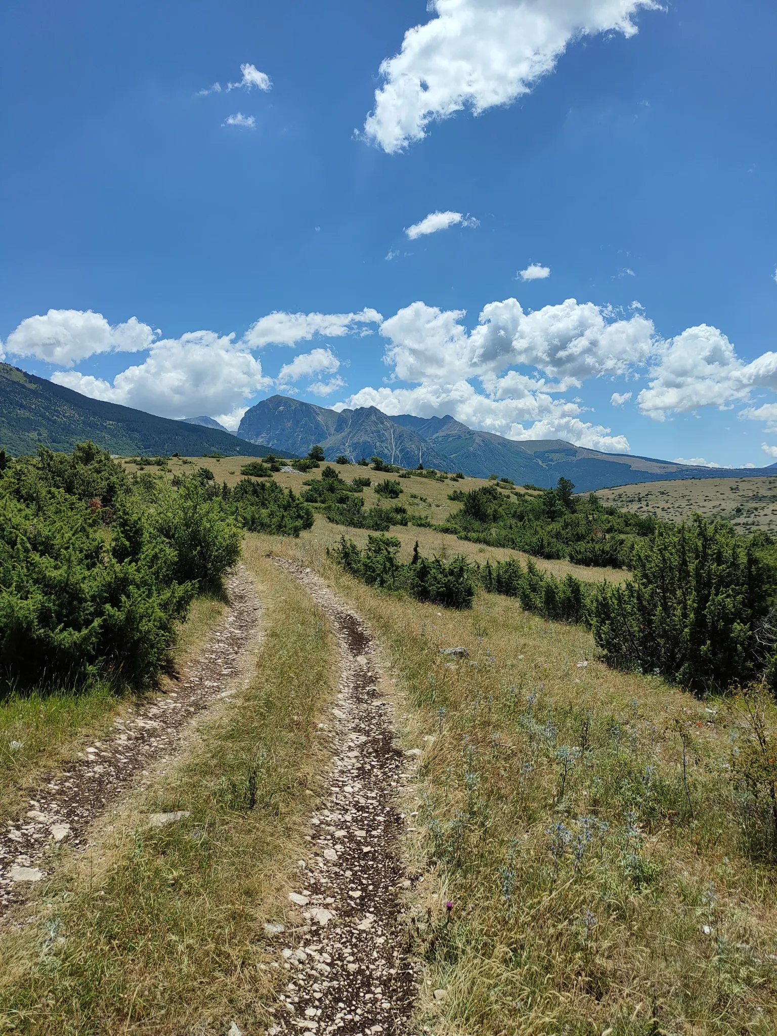
On the trail of the Queen of the Fairies – Grande Anello dei Sibillini
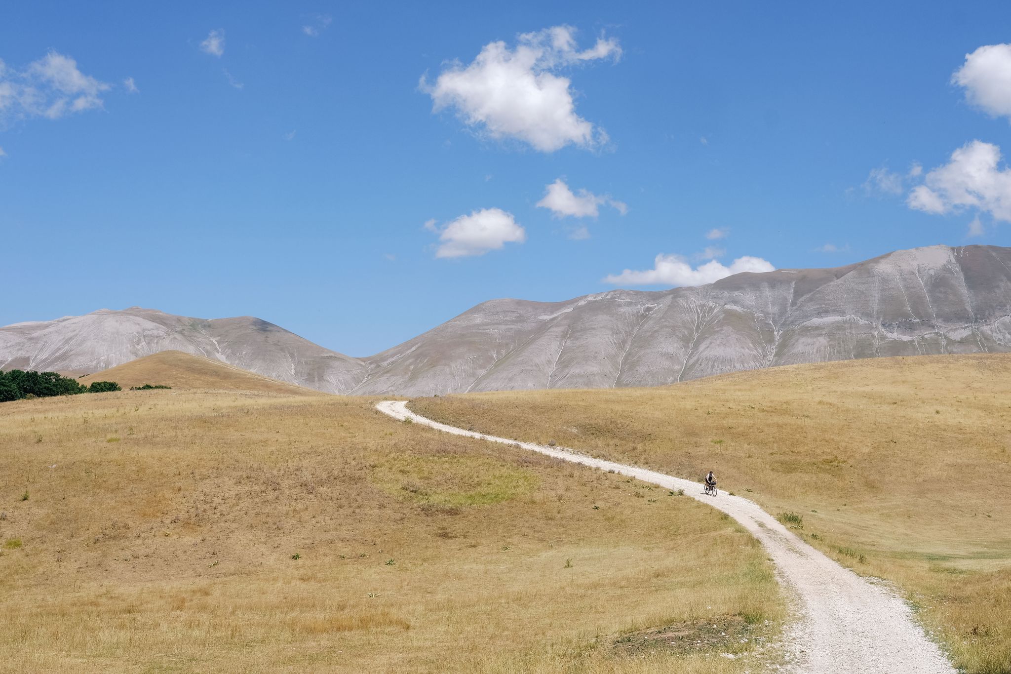
A journey through nature and legend – Great Sibillini Mountain Ring
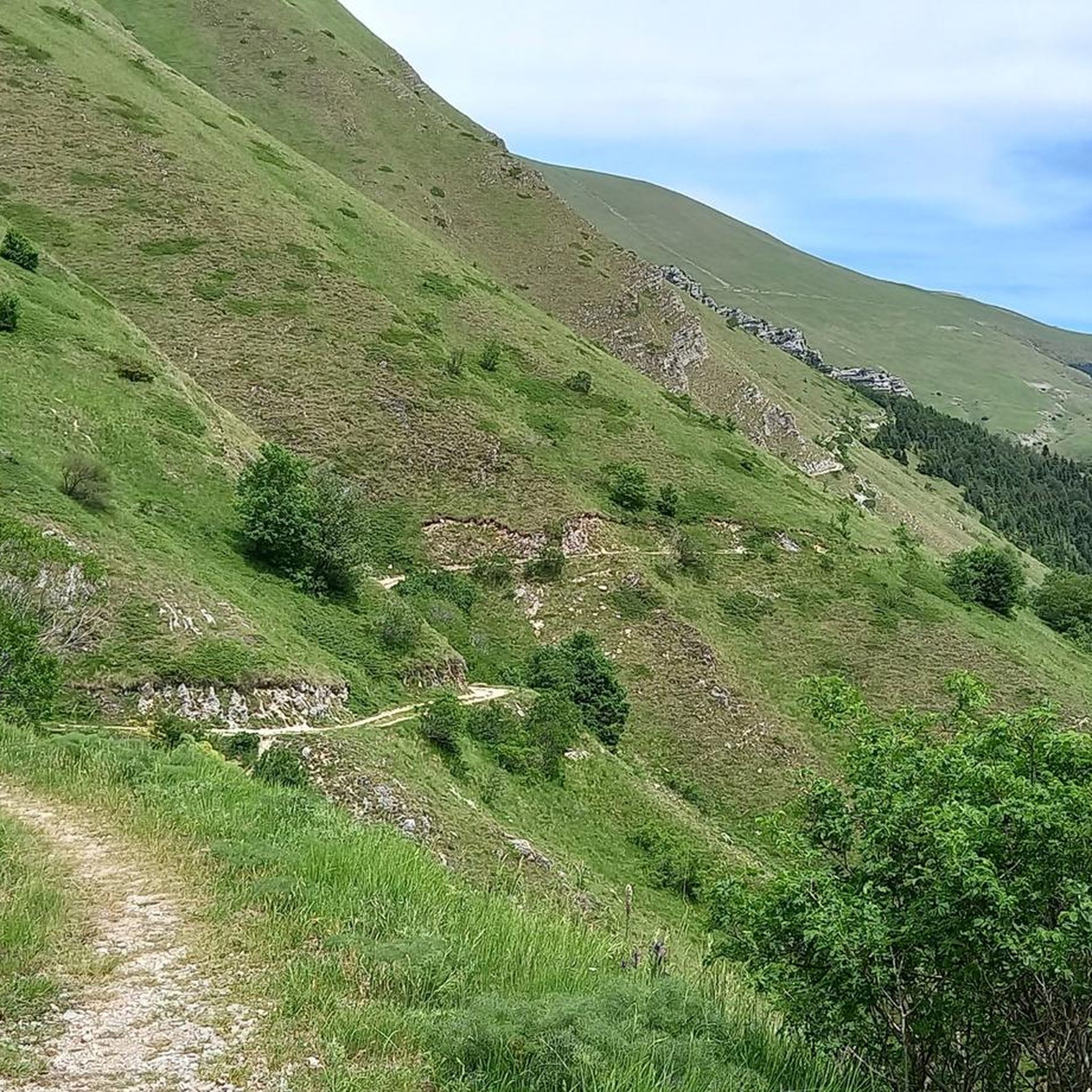
Hiking around Montefortino
Running Trails around Montefortino
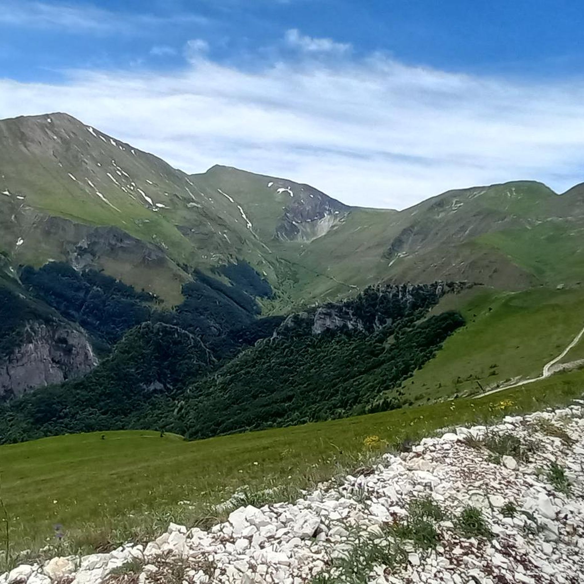
Cycling around Montefortino
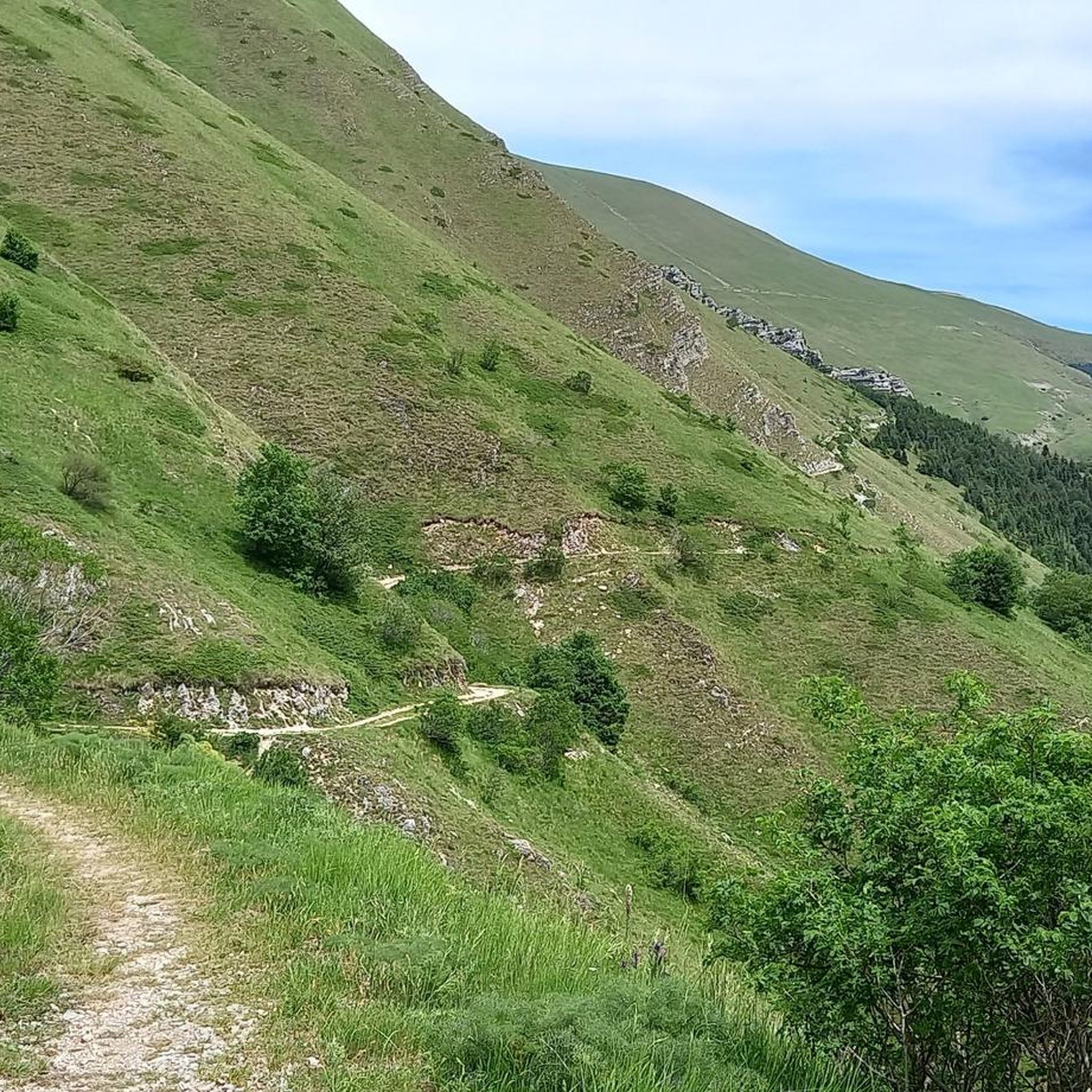
MTB Trails around Montefortino
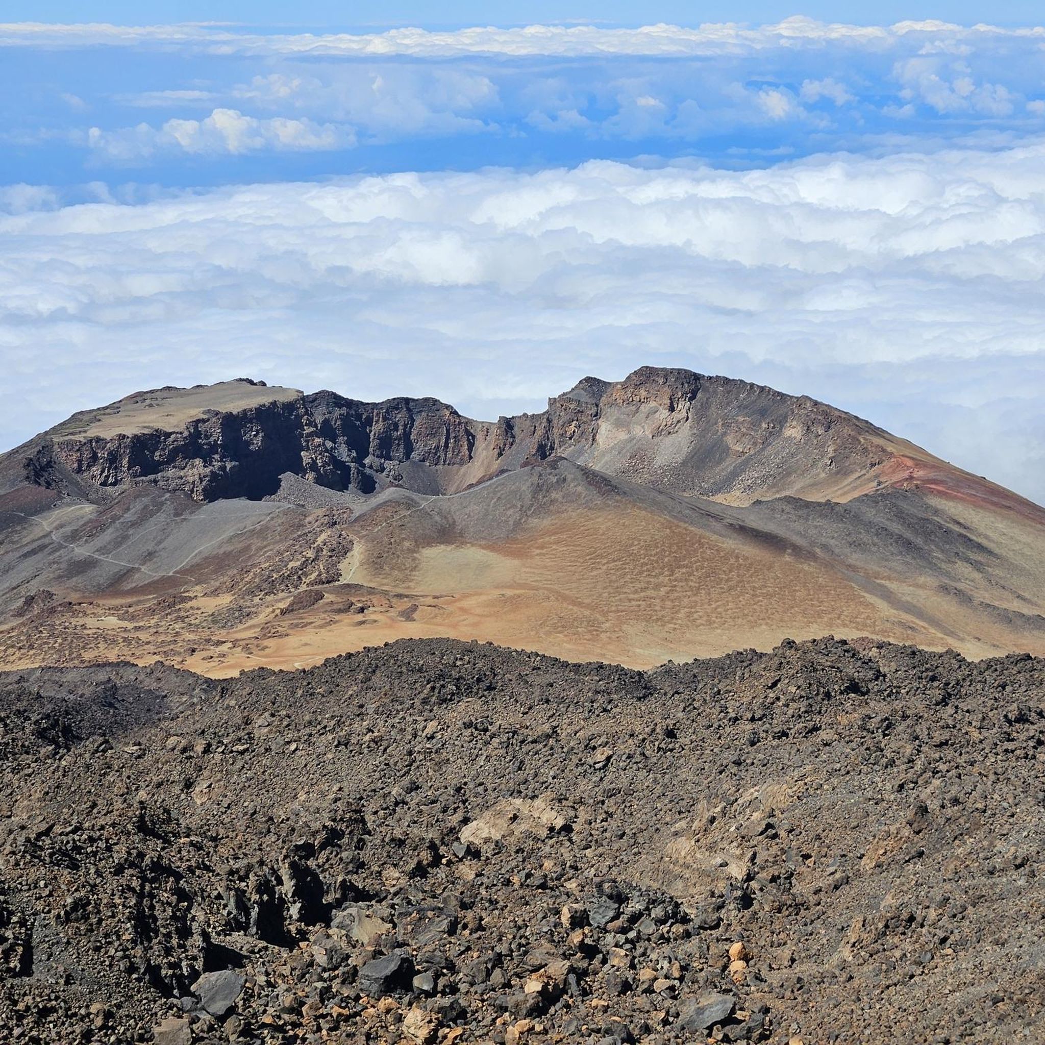
Gravel biking around Montefortino
Mountain Hikes around Montefortino


Tips from the Community

Ancient Roman bridge in the hamlet of Ponte d'Arli - on the other side, a cast iron fountain
0
0

Excellent for filling water bottles.
12
0

Here you can fill your water bottle while enjoying a spectacular view
1
0

Place of peace and tranquility, also present a source with fresh water
0
0

At the end of the road, quite unexpectedly, there is this church in the middle of the forest. There are a few simple restaurants and several picnic areas with tables, benches and barbecues on the river bank. In summer it is certainly a popular place, but in autumn and winter it is rather quiet and lonely. We did the small circular walk, but be careful, the path is not marked, is partly overgrown and goes jaggedly uphill and then downhill again. Non-slip shoes are recommended.
0
0
Stunning village at the foot of the Sibillini Mountains National Park.
25
0

Forca di Presta : A climb with a length of 14km and an average gradient of 6.7% with 100m at 14.4%. Considered an HC climb due to its 928m elevation gain. I consider it one of the most beautiful climbs I've faced in my life, probably also due to the time I decided to climb it. Around 8 in the morning, still stinging from the cold, but at the same time the sun pampered you and warmed your heart. I recommend a good degree of training to tackle it as in some places it is really tough, try not to overdo it and you will reach the top with a 32-tooth smile. I advise you to bring a windproof vest, especially if after the ascent you have to face the descent to get to the plain of Castelluccio, I really felt the cold even though it was July 27th it was 10 degrees! have fun and good rides Ps RESPECT THESE PRISTINE PLACES
1
0
Forca di Presta is a road pass in the Umbria-Marche Apennines, located at 1,550 m above sea level, on the Sibillini mountains, at the foot of Mount Vettore, dividing the territory of the province of Ascoli Piceno from that of the province of Perugia.
11
0
Frequently Asked Questions
How many road cycling routes are available around Montefortino?
There are over 70 road cycling routes around Montefortino, offering a wide range of options for different skill levels and preferences.
What kind of terrain can I expect on road cycling routes around Montefortino?
Road cycling around Montefortino features routes through the foothills of the Monti Sibillini, characterized by rolling hills and valleys. You'll encounter a mix of agricultural landscapes and forested areas, with elevations ranging from gentle ascents to more challenging climbs.
Are there road cycling routes suitable for beginners in Montefortino?
While there are no routes explicitly graded as 'easy' in the immediate Montefortino area, there are 23 routes considered 'moderate'. These routes offer a good balance of challenge and accessibility for those with some cycling experience. For example, the Monte San Martino da Amandola – loop around the foot of the Monti Sibillini is a moderate option.
Are there challenging road cycling routes for experienced riders?
Yes, Montefortino offers 48 difficult road cycling routes for experienced riders. These paths feature significant elevation changes and demanding ascents. A notable challenging route is the Lake Gerosa Loop from Comunanza, which includes views of Lake Gerosa.
Are there circular road cycling routes in Montefortino?
Many of the road cycling routes around Montefortino are designed as loops, allowing you to start and finish in the same location. Examples include the Sanctuary of Madonna dell'Ambro and Montefortino Loop and the Monte San Martino da Amandola – loop around the foot of the Monti Sibillini.
What scenic views can I expect on road cycling routes around Montefortino?
The routes often provide scenic views of the Monti Sibillini, rolling hills, and river valleys. You might also encounter natural landmarks like the Infernaccio Gorge or catch glimpses of peaks like Monte Vettore and Monte Sibilla.
Are there any notable landmarks or attractions along the road cycling routes?
Yes, many routes pass by or offer views of significant landmarks. You can explore historical sites, rural landscapes, and natural monuments. For instance, the Sanctuary of Madonna dell'Ambro and Montefortino Loop takes you past a notable sanctuary. Other attractions in the wider region include Pilate Lake and the Flower Fields of Castelluccio di Norcia.
What do other road cyclists enjoy the most about road cycling in Montefortino?
The area is highly rated by the komoot community, with an average score of 4.4 stars from over 60 reviews. Reviewers often praise the varied terrain, the scenic views of the Monti Sibillini, and the options available for different ability levels, from steady climbs to more demanding ascents.
What is the best time of year for road cycling in Montefortino?
The spring and autumn months generally offer the most pleasant conditions for road cycling in Montefortino, with milder temperatures and beautiful landscapes. Summer can also be suitable, especially in the mornings or late afternoons, though it can get quite warm. Winter cycling is possible but may require more preparation due to colder temperatures and potential for snow at higher elevations.
Where can I find parking for road cycling routes in Montefortino?
Many routes start from towns or villages like Montefortino, Amandola, or Comunanza, where public parking is generally available. For example, the Church of Castel di Croce – Historic Center of Rotella loop from Comunanza begins in Comunanza, a good starting point with parking options.
Are there places to stop for refreshments or cafes along the routes?
Yes, many road cycling routes in the Montefortino area pass through or near small towns and villages where you can find cafes, bars, and restaurants to refuel. It's always a good idea to check the route details on komoot beforehand to plan your stops, especially on longer rides.
How long do road cycling routes around Montefortino typically take?
Route durations vary significantly based on distance and difficulty. For example, a moderate route like the Monte San Martino da Amandola – loop around the foot of the Monti Sibillini typically takes around 1 hour 53 minutes, while a more difficult and longer route such as the Ponte Vecchio – Croce di Casale climb loop from Ariconi can take over 4 hours.
Most popular routes around Montefortino
Most popular attractions around Montefortino

Get inspired with the komoot mobile app


Explore more
Browse the best Road cycling routes in other regions.
