The best MTB trails around Steinmauern
4.6
(1359)
4,663
riders
347
rides
Mountain biking around Steinmauern offers a diverse range of terrain, from the flat Rhine plain to the varied elevations of the nearby Northern Black Forest. The immediate area features paths along the Murg River and around the Goldkanal, providing accessible routes. For more challenging mountain biking terrain, the region serves as a gateway to the Murgtal and the wider Black Forest, characterized by wooded ridges and significant elevation changes. This combination allows for both relaxed rides and more demanding off-road…
Last updated: September 23, 2026
4.3
(12)
17
riders
34.1km
02:18
450m
450m
Moderate mountain bike ride. Good fitness required. Advanced riding skills necessary.
5.0
(1)
5
riders
26.8km
01:35
40m
40m
Easy mountain bike ride. Great for any fitness level. Suitable for all skill levels.

4
riders
Moderate mountain bike ride. Great for any fitness level. Advanced riding skills necessary.
5.0
(2)
7
riders
Easy mountain bike ride. Great for any fitness level. Suitable for all skill levels.
5
riders
Easy mountain bike ride. Great for any fitness level. Suitable for all skill levels.
Get access to more routes and recommendations from other explorers.
Already have an account?
Our route recommendations are based on thousands of hikes, rides, and runs completed by other people on komoot.
Start today with a free account
Your next adventure awaits.
Tips from the Community

A beautiful and pristine nature reserve near Munchhausen in French Alsace. Over around 486 hectares, floodplain forests, wet meadows, reeds, and quiet water surfaces alternate. The Sauer Delta is one of the last areas where the Rhine's floodwaters can still spread naturally into the floodplains.
9
0

Above the Winkel district of Rotenfels, there are numerous paddocks. From the path running above, you have a magnificent view over the paddocks and, depending on the direction of view, the foothills of the Northern Black Forest or the Rhine Valley in the background. In clear weather, the Vosges and the Palatinate Forest can be seen.
8
0

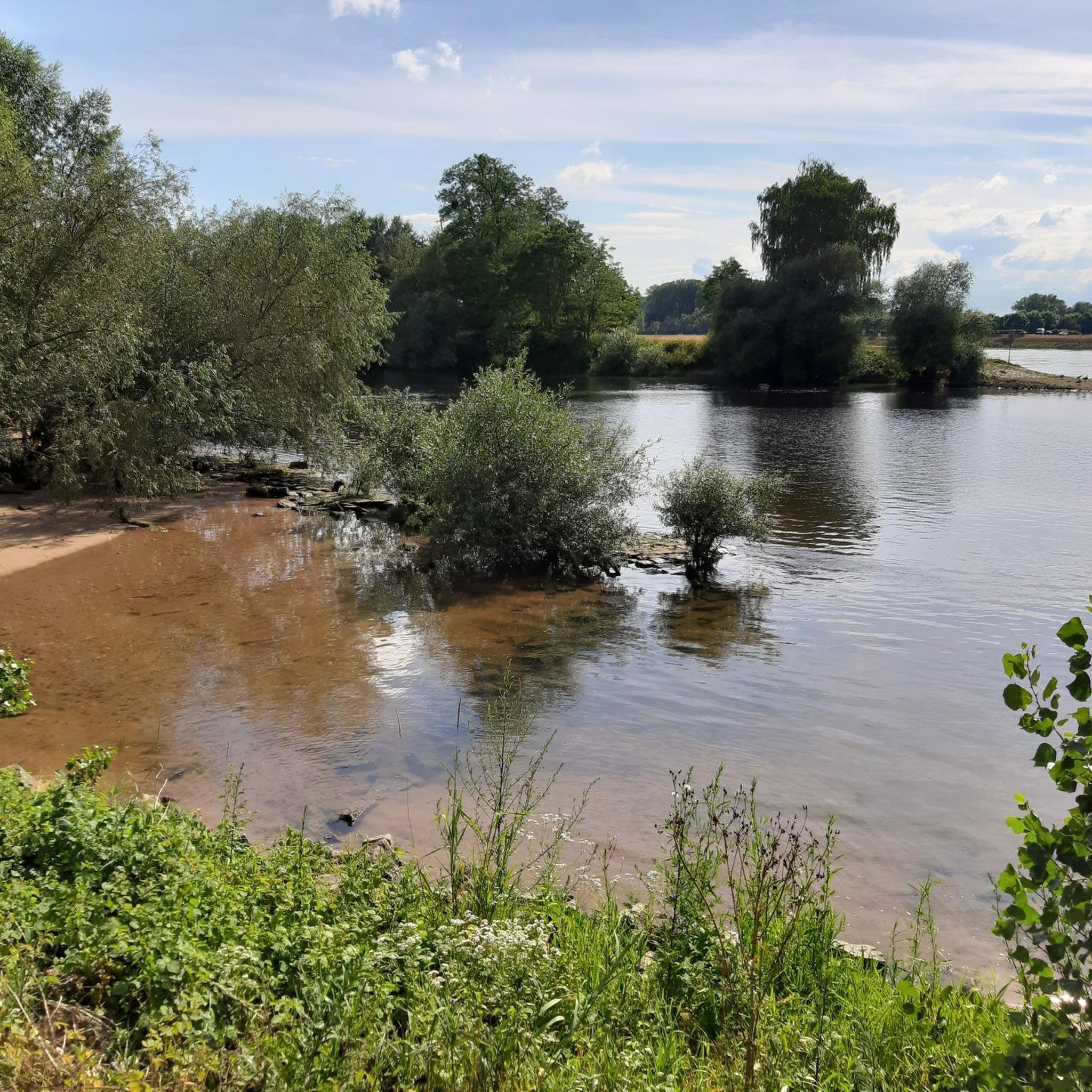
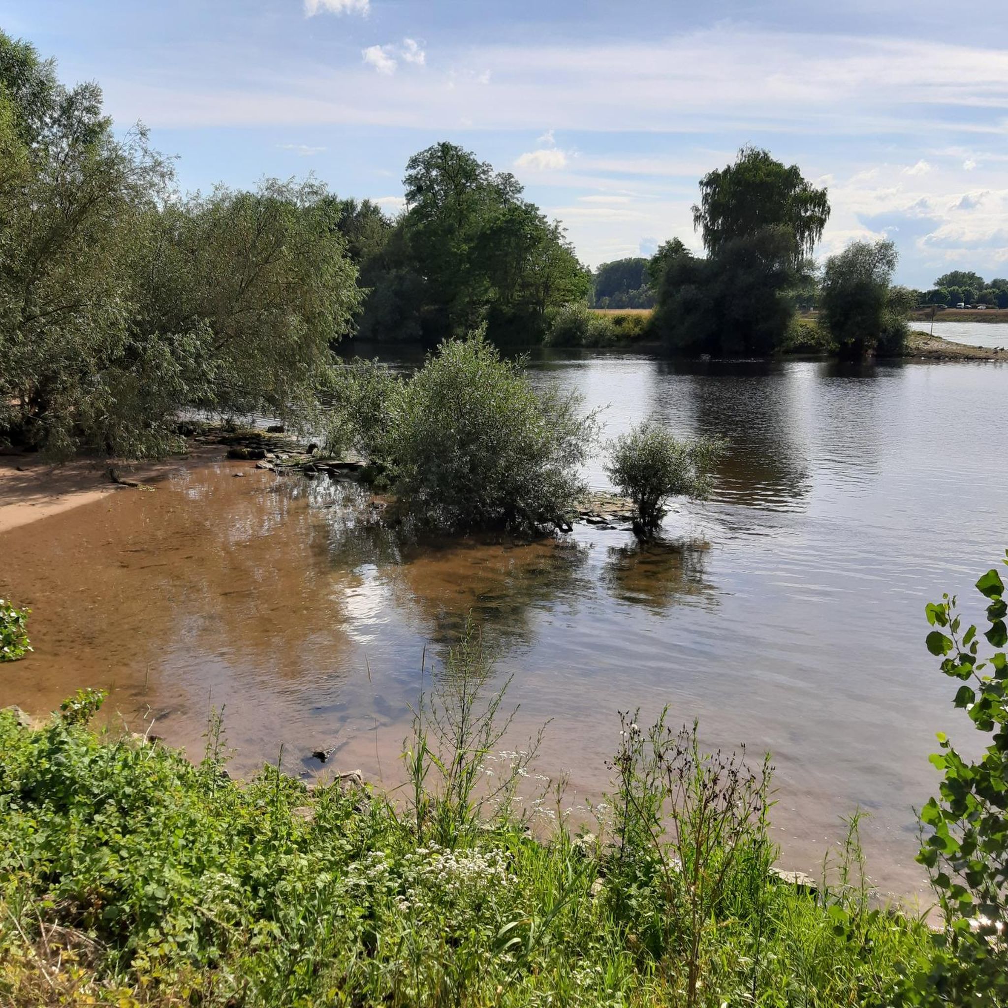
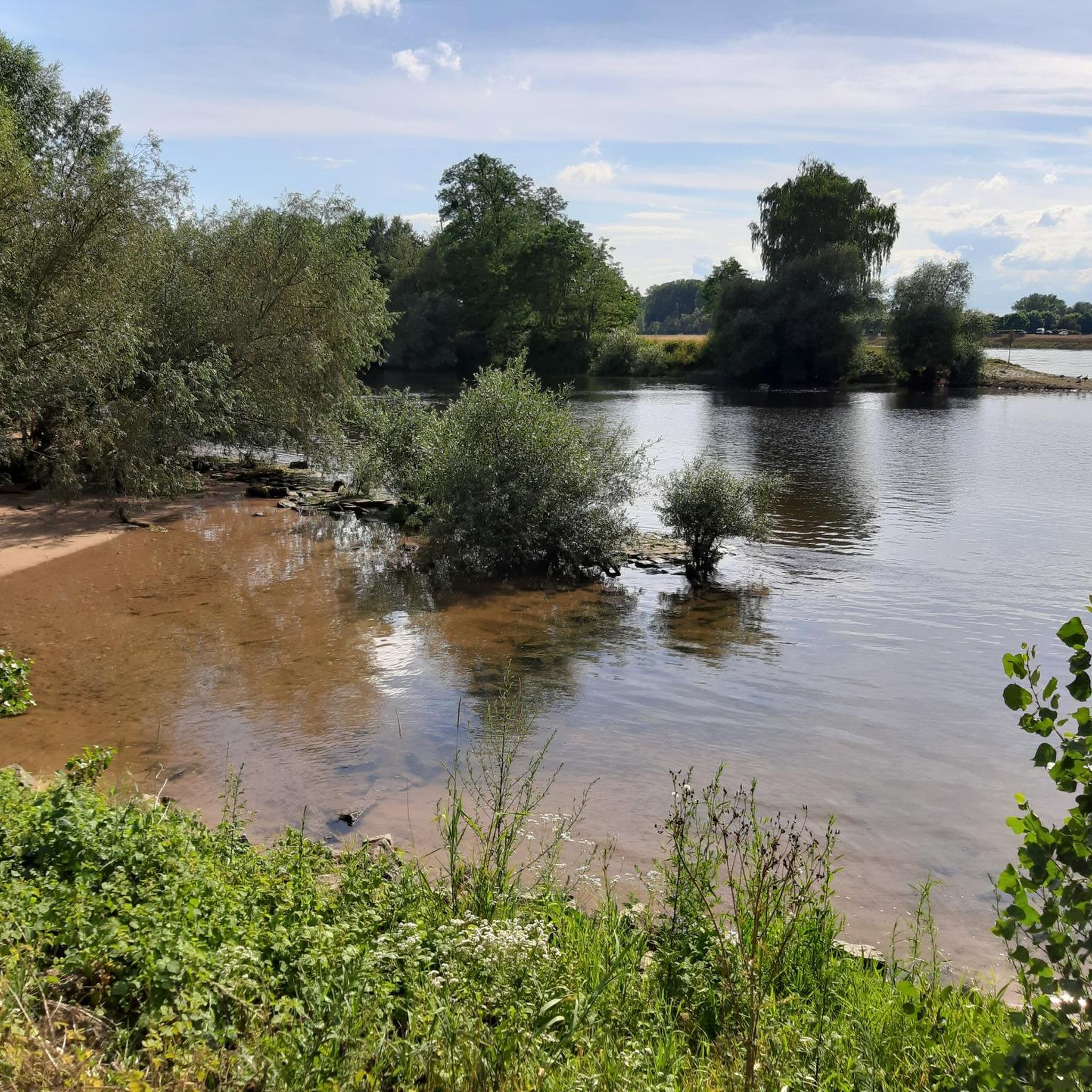
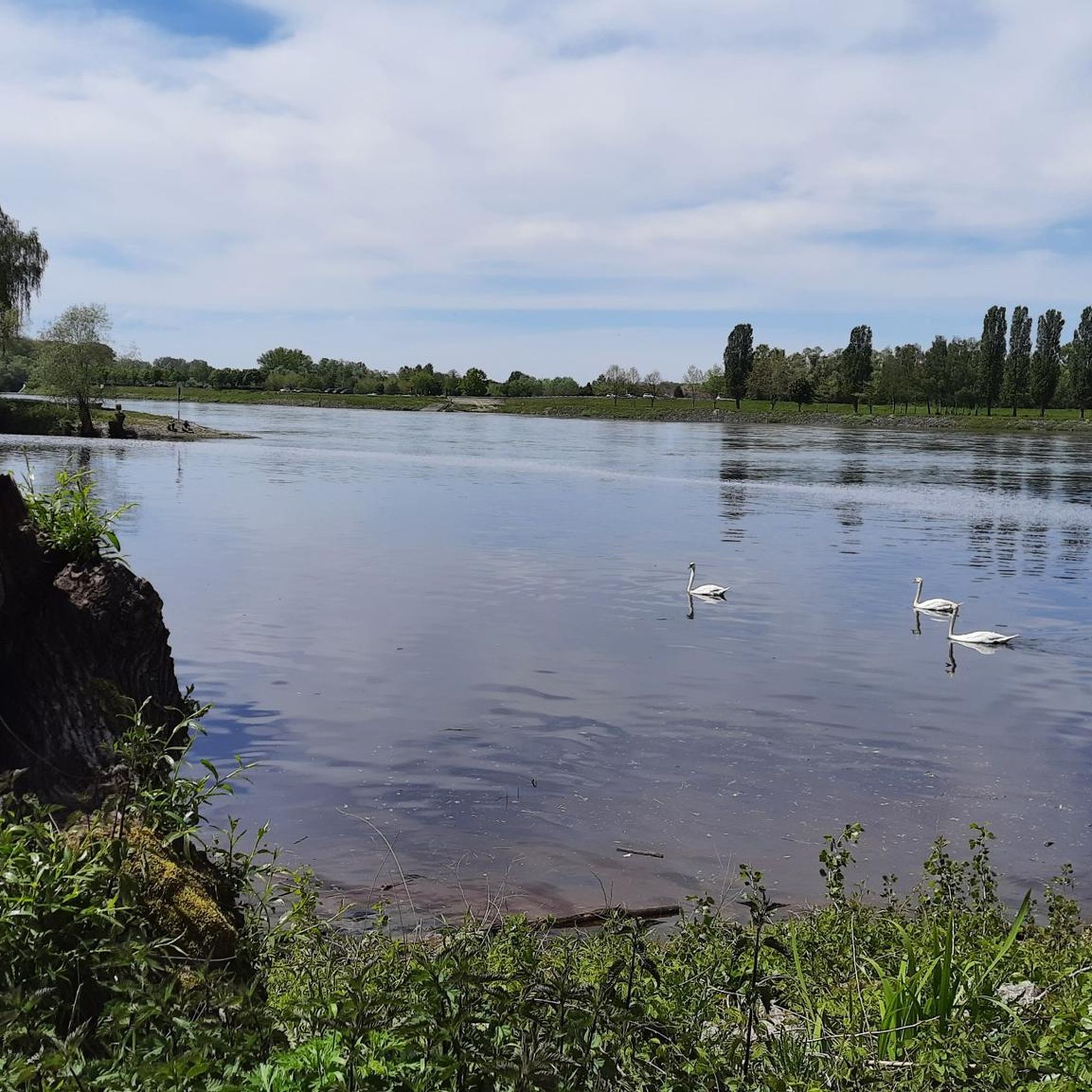
The Altrhein near Plittersdorf is a former arm of the Rhine, which was separated from the main current by the Rhine regulation in the 19th century (also called Rhine straightening). Today, the Altrhein is a calm, mostly slow-flowing or stagnant body of water in the Rhine floodplain near Plittersdorf. It is surrounded by floodplain forests, meadows, and small bodies of water. This natural landscape offers many animal and plant species an important habitat, for example birds such as herons and swans, as well as various fish species. In the past, the Rhine flowed directly past Plittersdorf and often led to floods. The course of the river was changed by the straightening, and the Altrhein was preserved as a "remnant" of the old Rhine. Today, it has above all ecological significance and also serves as a recreational area for people.
0
0
The Sauer is a tributary of the Rhine, approximately 70 km long. It originates in the Palatinate Forest near the Franco-German border. On its course, it flows through the Northern Vosges and partly forms the border between Germany and France. It then crosses Alsace before flowing into the Rhine near Munchhausen. The Sauer has a catchment area of about 800 km² and an average discharge of around 6 m³ per second.
2
0
Willow bushes, marshy areas and reeds – the Sauer Delta nature reserve is an unusual landscape! It was declared a nature reserve by ministerial decree in 1997, protecting 486 hectares. From an ornithological, botanical and landscape perspective, it is an absolutely exceptional area and one of the last regions in France where the Rhine floodwaters can still spread out.
0
0
The "Saletio" cable ferry is unique in its kind. A cable system whose principle consists of using the sole force of the current to move. It connects the two banks Seltz (FR) with Plittersdorf (DE). It can transport 70 passengers, 28 bicycles, and 6 vehicles. Motorhomes and caravans are not allowed on the ferry. The ferry is free.
0
0

A great forest festival always takes place here on May 1st 👍
0
0
Large arm of the Old Rhine in the NSG Auer Köpfle. Very idyllic.
5
0
Frequently Asked Questions
How many mountain bike trails are available around Steinmauern?
There are over 330 mountain bike trails around Steinmauern, offering a wide variety of options for different skill levels and preferences. This includes routes in the flat Rhine plain and more challenging trails in the nearby Northern Black Forest.
What kind of terrain can I expect when mountain biking near Steinmauern?
The terrain around Steinmauern is quite diverse. You'll find flat paths along the Rhine and Murg rivers, as well as around the Goldkanal, which are ideal for relaxed rides. For more challenging mountain biking, the nearby Northern Black Forest, particularly areas like the Murgtal, offers wooded ridges, significant elevation changes, and more technical sections.
Are there mountain bike trails for different skill levels?
Yes, the region caters to all skill levels. There are over 120 easy trails, 180 moderate routes, and more than 30 difficult trails. This ensures that both beginners and experienced mountain bikers can find suitable options.
What do other mountain bikers say about the trails around Steinmauern?
The mountain bike trails around Steinmauern are highly rated by the komoot community, with an average score of 4.6 stars from over 1,100 reviews. More than 4,200 mountain bikers have explored the varied terrain, often praising the diverse landscapes and the mix of relaxed riverside paths and challenging forest trails.
Are there any easy mountain bike trails suitable for beginners or families?
Absolutely. For easier rides, consider routes that stick to the flat Rhine plain or follow the Murg River. An example is the Fermasee Viewing Platform – View of the Alb River Side Arm loop from Elchesheim-Illingen, which is an easy 14.1-mile (22.8 km) trail through flat terrain. The PAMINA-Rheinpark cycle paths are also generally suitable for families, though some sections may be unpaved.
Where can I find more challenging mountain bike trails?
For more challenging mountain biking, you'll want to head towards the Northern Black Forest. The Murgtal, a short distance from Steinmauern, is known for its prime mountain biking areas with significant elevation changes, challenging climbs, and magnificent descents. Routes like the Eichelberg Descent Trail – View of Gaggenau loop from Steinmauern offer a moderate challenge with over 440 meters of elevation gain.
Are there any mountain bike trails that offer scenic viewpoints?
Yes, many trails offer scenic views, especially those that venture into the higher elevations of the Northern Black Forest. For example, the Eichelberg Descent Trail – View of Gaggenau loop from Steinmauern provides views towards Gaggenau. Additionally, the Observation Deck at Fermasee is a highlight along some flatter routes, offering pleasant vistas.
Can I find circular mountain bike routes around Steinmauern?
Yes, many mountain bike routes in the area are designed as loops. For instance, the Eichelberg Summit – Eichelberg Trail loop from Elchesheim-Illingen is a popular moderate circular path exploring the Eichelberg Summit. The PAMINA-Rheinpark also features extensive circular routes, such as the PAMINA-Rheinpark South route, which is almost 94 kilometers long.
What interesting natural attractions can I see along the mountain bike trails?
Along the trails, especially those near the Rhine and Murg rivers, you can explore several natural attractions. The Sauer Delta Nature Reserve and the Federbachbruch Nature Reserve offer protected natural settings. The Goldkanal, a large quarry pond, is also a popular recreation area accessible by bike, with highlights like the Fermasee South Shore.
Are there any historical or cultural landmarks accessible by mountain bike?
While Steinmauern itself is more focused on natural landscapes, cycling routes in the broader region can lead to interesting points. The Kunstwiese Sculpture Park – Old Rhine in Rastatter Rheinaue loop from Steinmauern offers a blend of nature and art. Additionally, the region's history is tied to the Rhine, with features like the Seltz–Plittersdorf Cable Ferry connecting to the French side.
What is the best time of year for mountain biking around Steinmauern?
The spring, summer, and autumn months generally offer the best conditions for mountain biking around Steinmauern. The flat paths are enjoyable year-round, but the forest trails in the Black Forest are most pleasant when dry. Winter can be an option, especially on the flatter routes, but some higher elevation trails may be affected by snow or ice.
Are there mountain bike trails where dogs are allowed?
Many natural paths and forest roads in the region are generally dog-friendly, especially those away from protected wildlife breeding areas. However, it's always recommended to keep dogs on a leash, particularly in nature reserves or agricultural areas, and to check local regulations for specific trails or parks.
Is there public transport access to mountain biking areas near Steinmauern?
Steinmauern is situated in a region with public transport connections. While direct access to specific trailheads might require some planning, the area's proximity to towns like Rastatt, which has train connections, can serve as a starting point. From there, local buses or short rides might be needed to reach desired mountain biking zones, especially those deeper in the Black Forest.
Most popular routes around Steinmauern
Most popular attractions around Steinmauern

Get inspired with the komoot mobile app


Explore more
Browse the best MTB trails in other regions.
