The best walks and hikes around Steindorf
4.5
(2634)
12,998
hikers
13
hikes
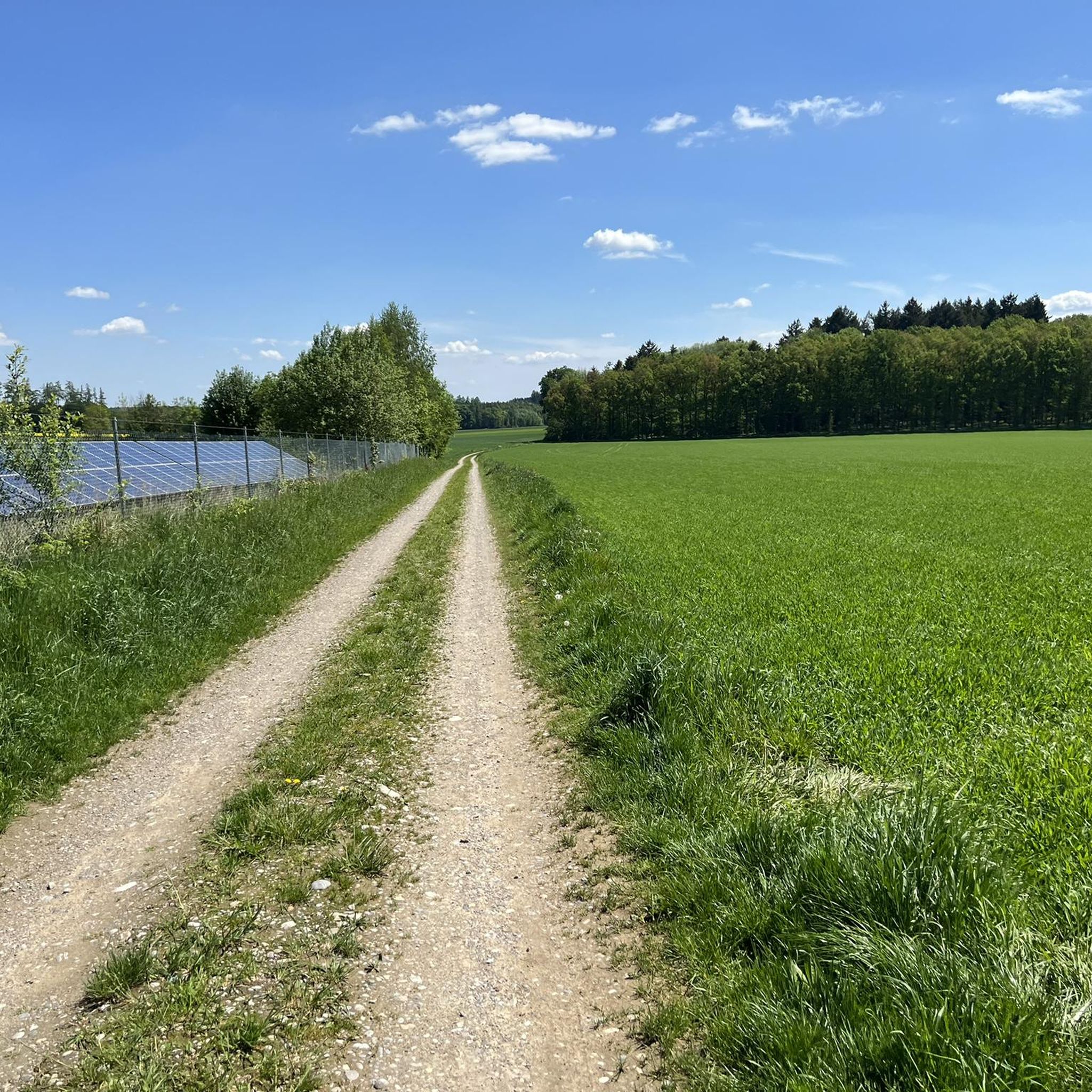
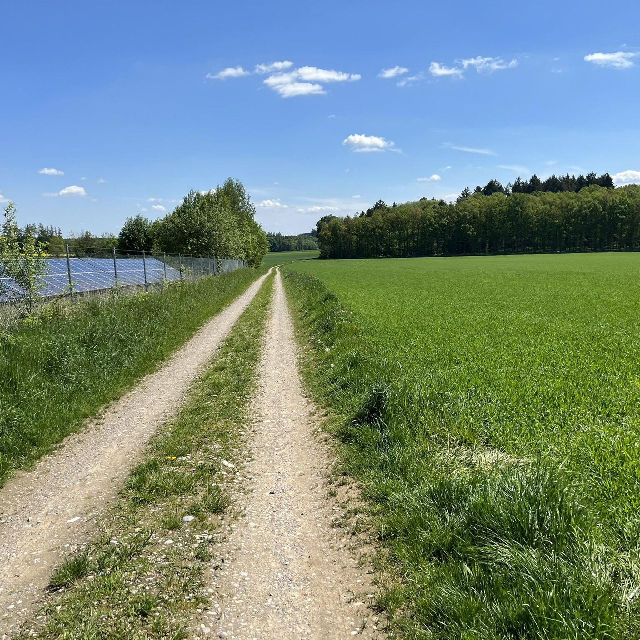
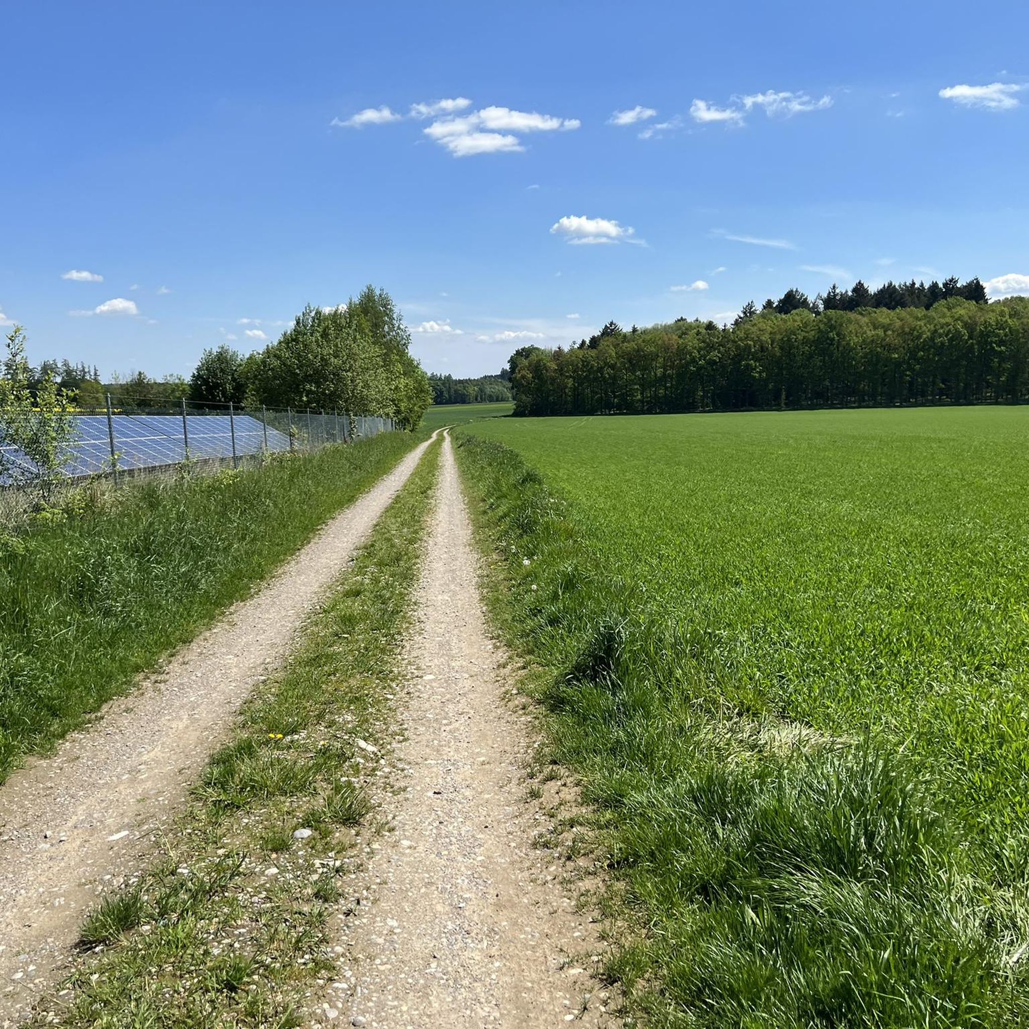
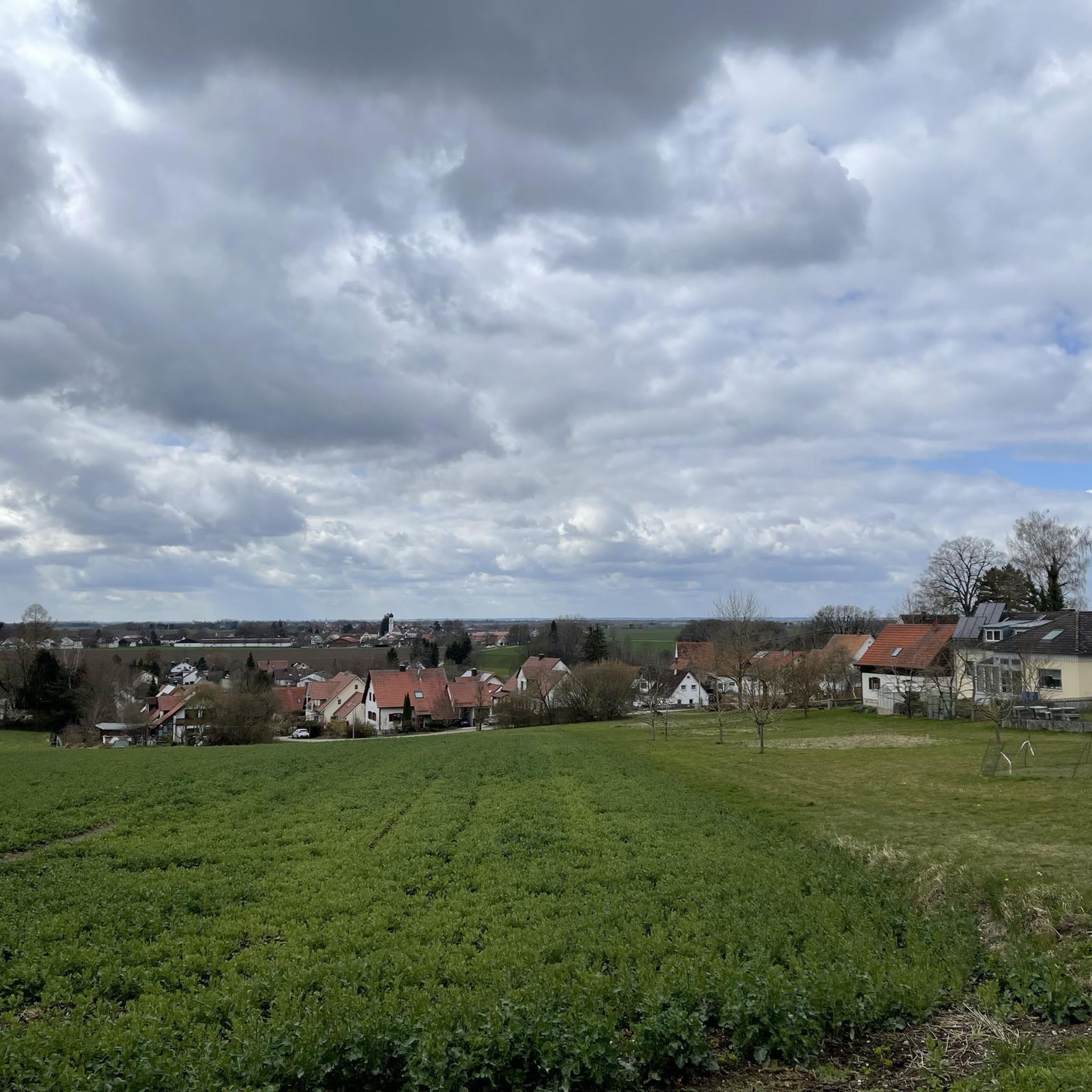
Hiking around Steindorf features gentle terrain with minimal elevation changes, characterized by forest sections and local ponds. The area offers accessible paths suitable for various outdoor activities. The routes primarily traverse flat or gently rolling landscapes, with the highest elevation gain on any single route being under 71 meters.
Best hiking trails around Steindorf
- The most popular hiking route is Keltenschanze Near Eresried – Evergreen Forest Section loop from Schloss Hofhegnenberg, a 4.0 miles (6.5 km) trail that takes…
Last updated: October 28, 2026
4.7
(7)
22
hikers
Easy hike. Easily walkable paths.
5.0
(2)
19
hikers
Moderate hike. Good fitness required. Easily walkable paths.

5.0
(1)
5
hikers
4.59km
01:13
40m
40m
Easy hike. Easily walkable paths.
5
hikers
8.04km
02:05
50m
50m
Moderate hike. Good fitness required. Easily walkable paths.
4.0
(2)
6
hikers
5.73km
01:29
40m
40m
Easy hike. Easily walkable paths.
Get access to more routes and recommendations from other explorers.
Already have an account?
Our route recommendations are based on thousands of hikes, rides, and runs completed by other people on komoot.
Start today with a free account
Your next adventure awaits.

Tips from the Community

The well-preserved aristocratic residence dates back to a high medieval castle, of which the stump of the keep can still be seen. Wikipedia
1
0

Very beautiful monument
1
0
Hörbach first appears in three documents from three different monasteries, at pretty much the same time around 1130. An "Engildie de Hurewin" (from "horwec" = swampy, dirty) around 1133, a "Teginhart de Huirwin" around 1133-1135 in one document from the monastery of St. Ulrich and Afra, Augsburg and a "Heinrich de Hurnwinin" around 1140 in a document from the Tegernsee monastery. All three documents are about the possessions of those from Seefeld (on the Wörthsee). The early Hörbachers mentioned are identical to the early Seefelds of the same name. The parish church of St. Andreas was built around 1200. The middle part of the nave is still preserved from this time. A Romanesque arched frieze is visible on the southern wall of the nave. In the late Gothic period - around 1450 - the choir was added and the nave received the pointed arch windows. The tower with the characteristic double onion was built in the Baroque period - it was completed in 1719.
2
0

Only pretty to look at from afar, as unfortunately closed with a gate. There is no place to rest.
1
0

Maybe it was just because of the really great light today, but this little spot was just gorgeous with the little bridge, lined with these beautiful trees, and then the gently babbling brook ...
0
0

Hörbach is a small village on the way to Althegnenberg. The village road is badly patched and riddled with potholes. It's a slalom course for road bikes, but no problem for mountain bikes ;-)
5
0

A beautiful village with an Anabaptist fountain by the church.
3
0
Easy uphill climb from Hofhegnenberg to the castle, beautiful building, unfortunately only visible from the outside as it is privately owned.
2
0
Frequently Asked Questions
What is the general terrain like for hiking around Steindorf?
Hiking around Steindorf is characterized by gentle terrain with minimal elevation changes. You'll find accessible paths primarily traversing flat or gently rolling landscapes, often through forest sections and near local ponds. The highest elevation gain on any single route is under 71 meters.
How many hiking trails are available in Steindorf?
There are 13 hiking trails available around Steindorf. These include 9 easy routes and 4 moderate routes, offering options for various skill levels.
Are there any easy or beginner-friendly hikes in Steindorf?
Yes, Steindorf offers several easy and beginner-friendly hikes. For instance, the Hofhegnenberg Pond – Hofhegnenberg Castle loop from Steindorf is an easy 4.6 km trail that takes about 1 hour 13 minutes to complete, leading through areas near Hofhegnenberg Pond.
What kind of landmarks or natural features can I expect to see on the trails?
While hiking around Steindorf, you can expect to see local ponds and forest sections. Some routes, like the War Memorial in Hofhegnenberg – Hofhegnenberg Castle loop from Steindorf, offer views of Hofhegnenberg Castle and a local war memorial. Additionally, nearby attractions include Lake Mandicho and Auensee.
Are there any circular hiking routes in Steindorf?
Yes, many of the trails around Steindorf are circular. An example is the Hofhegnenberg Castle – Hofhegnenberg Castle loop from Steindorf, a moderate 8.1 km route.
What do other hikers say about the trails in Steindorf?
The hiking routes in Steindorf are highly rated by the komoot community, with an average score of 4.6 stars from over 2100 reviews. Hikers often praise the gentle paths and accessible nature of the trails.
Are there any family-friendly hiking options in Steindorf?
Given the gentle terrain and minimal elevation changes, many of the easy routes in Steindorf are suitable for families. The Hofhegnenberg Castle – Hofhegnenberg Castle loop from Steindorf, an easy 6.9 km trail, is a good option for a family outing.
Is there parking available for hikers near the trails?
While specific parking details for each trailhead are best found on individual route pages, the accessible nature of Steindorf's trails generally implies convenient access points, often with parking facilities nearby. We recommend checking the komoot tour page for the specific route you plan to hike for detailed parking information.
What is the longest hike available in Steindorf?
One of the longer routes available is the War Memorial in Hofhegnenberg – Hofhegnenberg Castle loop from Steindorf, which is a moderate 12.6 km path.
Can I find places to eat or stay near the hiking trails in Steindorf?
While specific cafes, pubs, or accommodation directly on the trails are not detailed, Steindorf is a community, and you can typically find local amenities within or near the village. For specific recommendations, it's best to check local listings or the komoot app for points of interest along your chosen route.
Are there any specific permits required for hiking in Steindorf?
There is no indication that special permits are required for general hiking on the trails around Steindorf. The paths are generally accessible for public use.
Most popular routes around Steindorf
Most popular attractions around Steindorf

Get inspired with the komoot mobile app


Explore more
Browse the best Hikes in other regions.
