The best walks and hikes around Acquasanta Terme
4.6
(249)
1,188
hikers
51
hikes
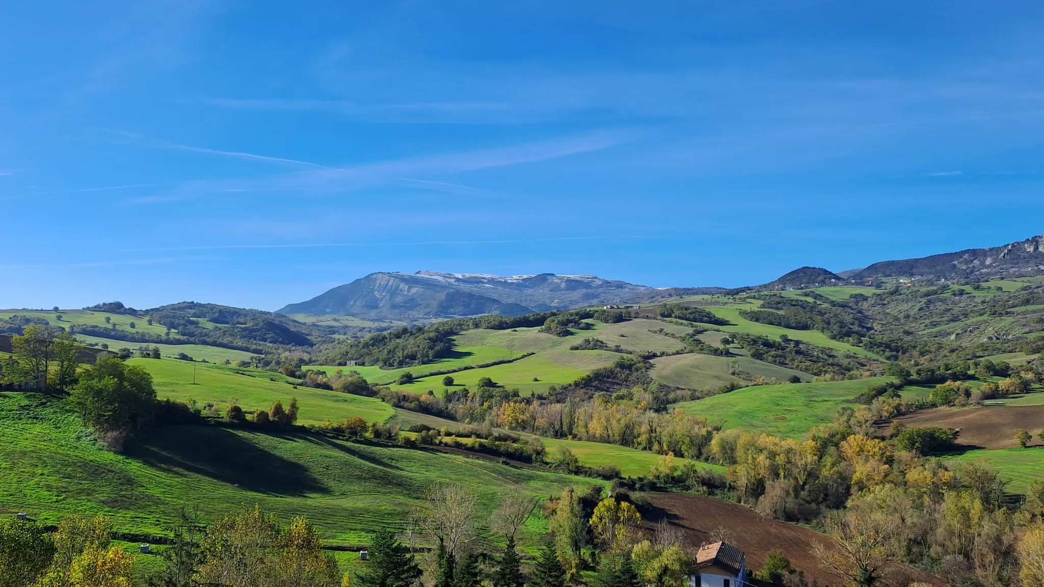
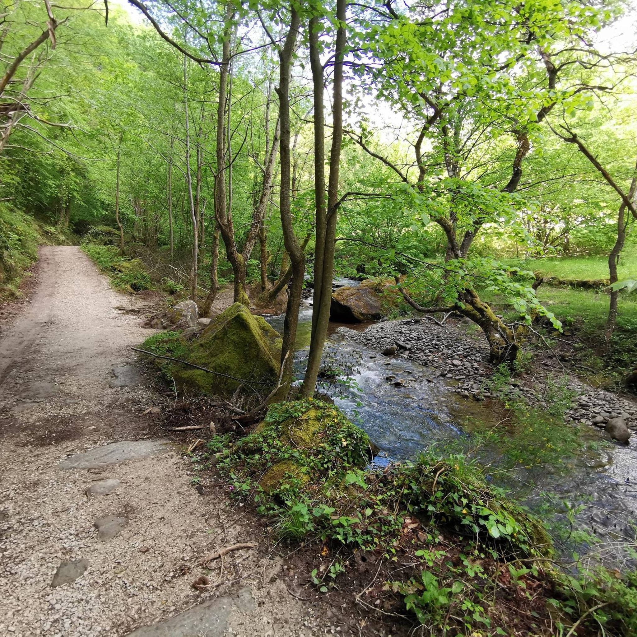
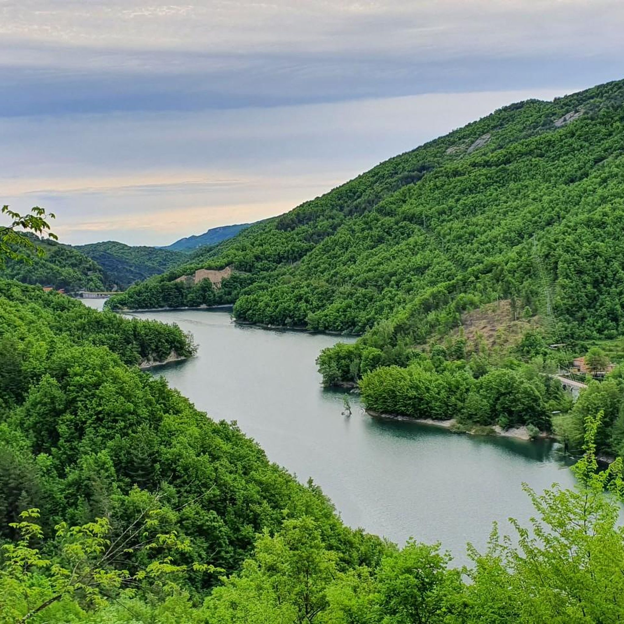
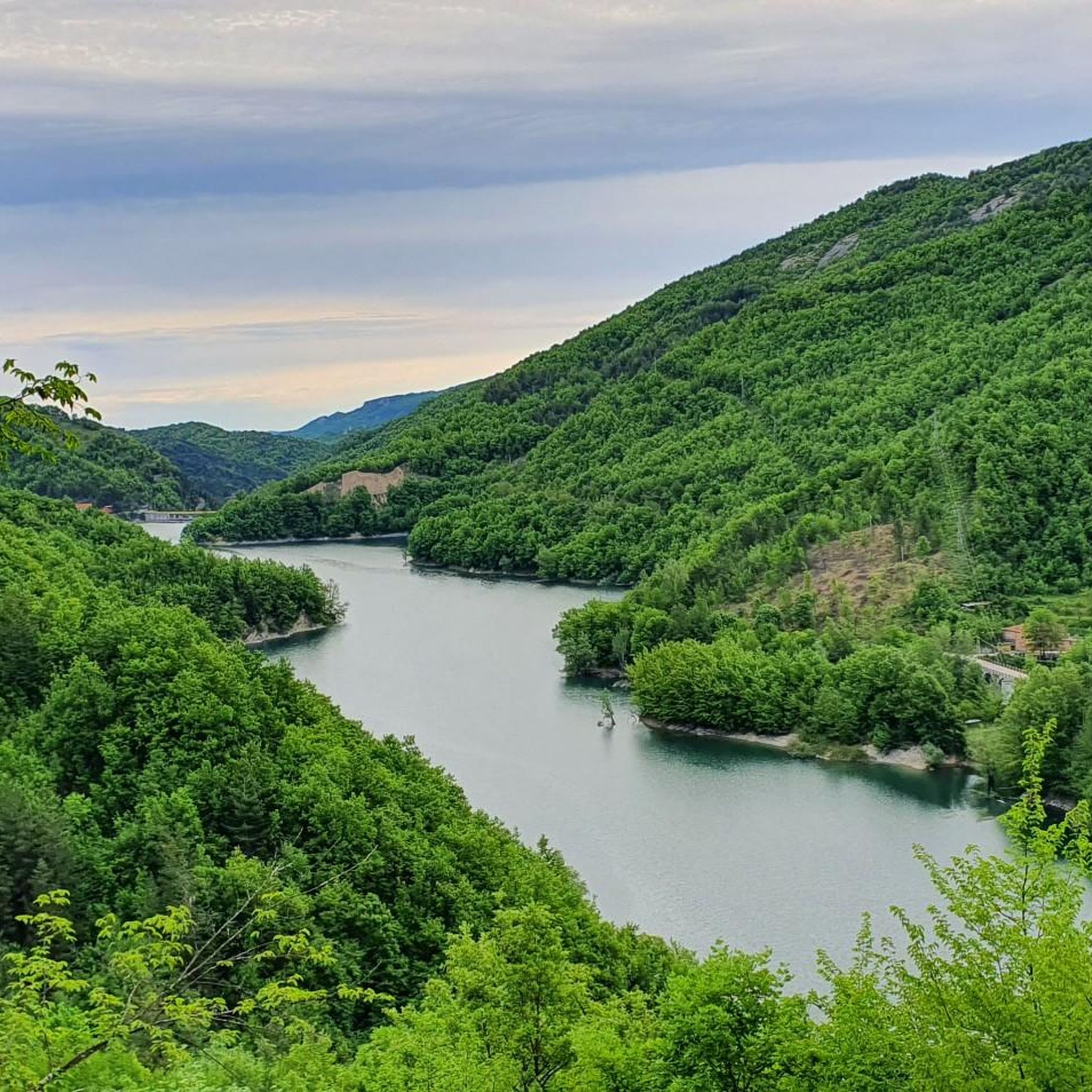
Hiking around Acquasanta Terme reveals a diverse natural environment nestled between the Gran Sasso e Monti della Laga National Park and the Sibillini Mountains. The region features mountainous terrain with dramatic peaks and valleys, alongside significant gorges and waterfalls. Dense forests and numerous rivers crisscross the landscape, offering varied hiking terrain.
Best hiking trails around Acquasanta Terme
- The most popular hiking route is Umito to Volpara Waterfalls Trail, a 7.8 miles (12.5 km) trail that takes 5 hours 8 minutes to complete. This difficult route leads to the notable Prata and Volpara waterfalls.
- Another top favourite among local hikers is Petrienno Cave and Agore Waterfall Loop, an easy 2.7 miles (4.3 km) path. This route explores the Petrienno Cave and the Agore Waterfall.
- Local hikers also love the Tallacano – ring tour, a 4.9 miles (7.9 km) trail leading through varied terrain, often completed in about 2 hours 59 minutes.
- Hiking around Acquasanta Terme is defined by mountainous terrain, deep gorges, and numerous waterfalls. The network offers options for different ability levels, from easy walks to demanding excursions.
- The routes in Acquasanta Terme are highly rated by the komoot community with an average score of 4.6 stars from over 200 reviews. More than 1,100 hikers have used komoot to explore Acquasanta Terme's varied terrain.
Last updated: May 10, 2026
4.6
(26)
152
hikers
12.5km
05:08
660m
660m
Hike 7.8 miles (12.5 km) through diverse terrain to the spectacular Volpara Falls in Gran Sasso Monti della Laga National Park.
3
hikers
4.32km
01:28
220m
220m
This easy 2.7-mile hiking loop near Poggio Roccetta takes you through a wild forest to discover the beautiful Agore waterfall and several ot

Sign up for free
4.4
(7)
25
hikers
7.85km
02:59
490m
490m
Moderate hike. Good fitness required. Mostly accessible paths. Sure-footedness required.
4.7
(22)
91
hikers
6.02km
02:16
200m
200m
Moderate hike. Good fitness required. Mostly accessible paths. Sure-footedness required.
4.1
(17)
60
hikers
8.66km
02:42
320m
320m
Moderate hike. Good fitness required. Easily-accessible paths. Suitable for all skill levels.
Get access to more routes and recommendations from other explorers.
Sign up for free
Already have an account?
Our route recommendations are based on thousands of hikes, rides, and runs completed by other people on komoot.
Start today with a free account
Your next adventure awaits.
Login or Signup

Other adventures around Acquasanta Terme

Tips from the Community

Enjoying the view of the waterfall makes it worth the effort to get there.
0
0

🌳🌱🏞️ 👉 A medium easy hike and quite shady and cool, in the Acquasanta Terme Municipality area ♒----CASCATA DELLA PRATA---- PHOTO Attilio Angelini Environmental Guide Perfect for those interested in Trekking, both to enrich their personal life and for a new professional path. Team Building in nature OF "HEALTH AND WALKING" Not Just Walks: ✅ FINDING YOURSELF ✅ Finding physical well-being ✅ Regaining balance inside ✅In a natural context ℹ️ new lifestyle opportunity: attilio.angelini1@gmail.com info +39 3396025966 📚 You will be provided with the best training while being in contact with Nature 👉 Participate in our events.
0
0

Umito is a fraction of the municipality of Acquasanta Terme, located at almost 700 meters above sea level. Inhabited by just thirty people, it is a place rich in history and nature, with evidence of prehistoric and Roman settlements. It is also the starting point for excursions to the Prata and Volpara waterfalls, two natural spectacles formed by waterfalls and sandstone rocks.
0
0

This waterfall is fed by the Agore ditch, which starts from the north, from about 800 meters high, to reach the point here, about 675 meters.
1
0
The Grotta del Petrienno is about 60 meters wide, and has a depth of about 15 meters. To access you pass under the waterfall.
2
0
Poggio Rocchetta has played a significant role in controlling the surrounding area in different historical periods. Interesting is his place on the Ascolani castle committee in the 14th century, his participation in papal rebellions in the 16th and 19th centuries, and his involvement in the resistance to Italian unification under the Piedmontese army. Unfortunately it was damaged by a series of earthquakes that started in 2016 and access to the area is currently restricted.
1
0
The chestnut is a type of tree closely linked to the history of Tallacano, also due to its abundant harvest. This deciduous tree is often introduced by humans for agricultural use.
2
0
Tallacano is a small village located at an altitude of 660 metres, with houses built with tuff. The town is surrounded by various mountains, for example: Monte Ceresa, Monte Monterone and Monte Scaloni.
0
0
Frequently Asked Questions
How many hiking trails are available around Acquasanta Terme?
Acquasanta Terme offers a wide variety of hiking experiences, with over 40 trails to explore. These routes cater to all skill levels, from easy strolls to challenging mountain excursions.
Are there many waterfalls to see on hikes around Acquasanta Terme?
Yes, the region is renowned for its beautiful waterfalls. You can discover the notable Prata and Volpara waterfalls by following the Umito to Volpara Waterfalls Trail. Another popular spot is the Agore Waterfall, which can be explored on the Petrienno Cave and Agore Waterfall Loop. The Garrafo Gorges also feature several cascades.
Are there family-friendly hiking trails in Acquasanta Terme?
Absolutely. Acquasanta Terme has 10 easy routes perfect for families. A great option is the Petrienno Cave and Agore Waterfall Loop, an easy 4.3 km path that allows you to explore a cave and a waterfall, suitable for most ages.
Can I bring my dog on hikes in Acquasanta Terme?
Many trails in Acquasanta Terme are suitable for dogs, but it's always recommended to keep your dog on a leash, especially in areas with wildlife like roe deer, wolves, and foxes, which are common in the region. Always check local regulations for specific trails, particularly those within national park boundaries.
What kind of natural landmarks or attractions can I discover while hiking?
The area is rich in natural wonders. You can explore fascinating geological formations like the Petrienno Cave and the 'mysterious caves' within the Garrafo Gorges. Hikers can also encounter impressive peaks such as Monte Vettore and Mount Girella. The Forest of Twisted Beeches is another unique natural monument.
Are there any circular hiking routes available?
Yes, several routes offer a circular experience, allowing you to start and end at the same point. A popular choice is the Tallacano – ring tour, a moderate 7.9 km trail that takes you through varied terrain.
What is the best time of year to go hiking in Acquasanta Terme?
Acquasanta Terme offers hiking opportunities throughout much of the year. Spring and autumn provide pleasant temperatures and vibrant scenery, with autumn showcasing beautiful foliage in the region's forests. Summer is also popular, though some higher-altitude trails might be more exposed to the sun. Winter hiking is possible, but some routes may require specific gear or experience due to snow and ice.
Are there any challenging hikes for experienced trekkers?
Yes, for experienced hikers, the mountainous terrain between the Gran Sasso e Monti della Laga National Park and the Sibillini Mountains offers demanding excursions. The Garrafo Gorges, in particular, are suited for expert excursionists, with some parts of the trail requiring the use of steel ropes and cables.
What do other hikers enjoy most about the trails in Acquasanta Terme?
The trails in Acquasanta Terme are highly rated by the komoot community, with an average score of 4.6 stars from over 200 reviews. Hikers often praise the diverse natural environment, the dramatic peaks and valleys, and the abundance of waterfalls and unique geological features like caves and thermal springs.
Are there thermal springs accessible after a hike?
Yes, Acquasanta Terme is known for its thermal springs. The 'Lu Vurghe' thermal springs offer an open-air sulfurous pool nestled in nature, providing a unique opportunity for relaxation and recovery after a long day of trekking, a practice enjoyed since Roman times.
Where can I find parking for trailheads?
Parking availability varies by trailhead. For popular routes like the Umito to Volpara Waterfalls Trail, you can typically find parking near the village of Umito. For the Petrienno Cave and Agore Waterfall Loop, parking is usually available near the starting point in the vicinity of Acquasanta Terme. It's advisable to check specific route details for precise parking information.
Are there opportunities for wildlife spotting?
The diverse natural environment of Acquasanta Terme, especially within the Garrafo Gorges and surrounding forests, provides excellent opportunities for wildlife spotting. Keep an eye out for roe deer, wolves, foxes, and various bird species, reptiles, and amphibians.
Most popular routes around Acquasanta Terme
Most popular attractions around Acquasanta Terme

Get inspired with the komoot mobile app


Explore more
Browse the best Hikes in other regions.
