The best MTB trails around Gaby
4.5
(293)
1,549
riders
43
rides
Mountain biking around Gaby, situated in Italy's Aosta Valley, offers diverse trails set within an alpine environment. The region is characterized by high mountains, deep valleys, and varied terrain that includes forested sections, rocky paths, and alpine meadows. Riders can expect routes with significant elevation changes, ranging from challenging climbs to technical descents. The landscape features prominent peaks and provides extensive views throughout the trails.
Best mountain bike trails around Gaby
- The most popular mountain bike trail is Staffal –…
Last updated: August 14, 2026
5.0
(6)
26
riders
34.0km
03:35
1,340m
1,340m
Hard mountain bike ride. Very good fitness required. Advanced riding skills necessary. Some portions of the route may require you to push your bike.
5.0
(3)
13
riders
42.0km
03:59
1,400m
1,400m
Hard mountain bike ride. Very good fitness required. Suitable for all skill levels.

Sign up for free
5.0
(3)
13
riders
21.9km
02:24
970m
970m
Hard mountain bike ride. Very good fitness required. Advanced riding skills necessary. Some portions of the route may require you to push your bike.
3.0
(1)
11
riders
21.4km
01:33
390m
390m
Moderate mountain bike ride. Good fitness required. Suitable for all skill levels.
13
riders
31.5km
02:14
610m
610m
Moderate mountain bike ride. Good fitness required. Suitable for all skill levels.
Get access to more routes and recommendations from other explorers.
Sign up for free
Already have an account?
Our route recommendations are based on thousands of hikes, rides, and runs completed by other people on komoot.
Start today with a free account
Your next adventure awaits.
Login or Signup
Popular around Gaby

Alta Via n. 1 of the Aosta Valley — a walk among Italian giants

GTA Central Piedmont – Dense forests, lakes and impressive waterfalls
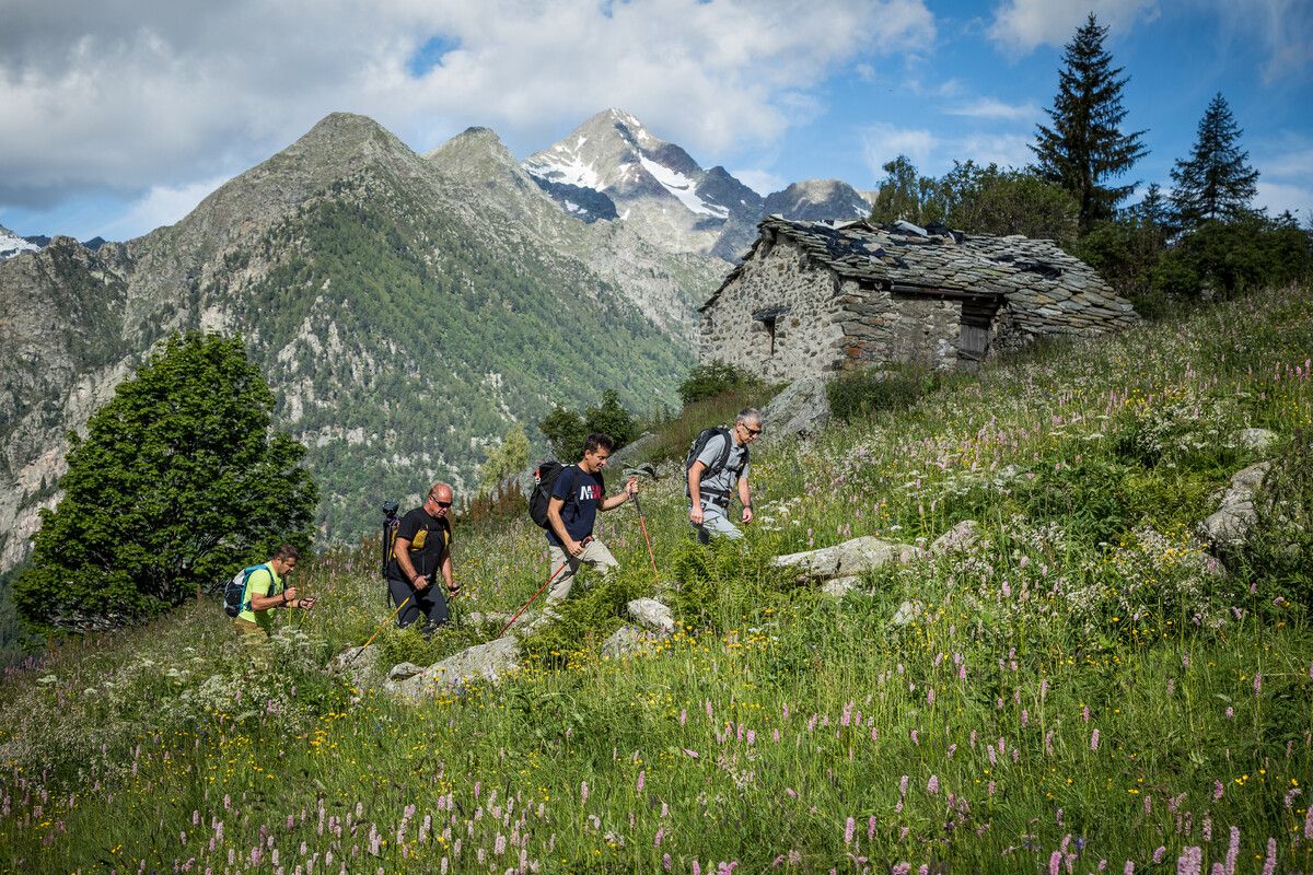
Hidden trails in the Aosta Valley – mountains you don't yet know

A walk among Italian giants — Aosta Valley High Route 1
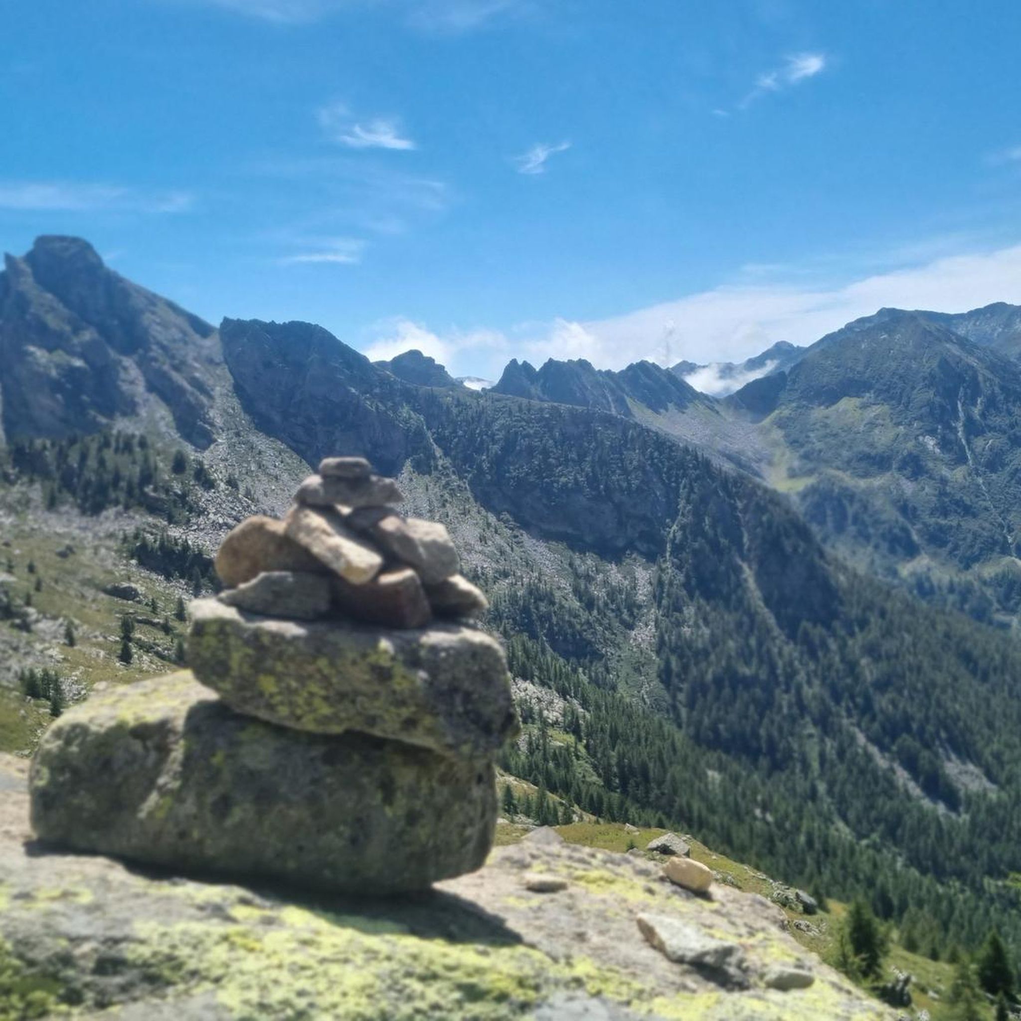
Hiking around Gaby
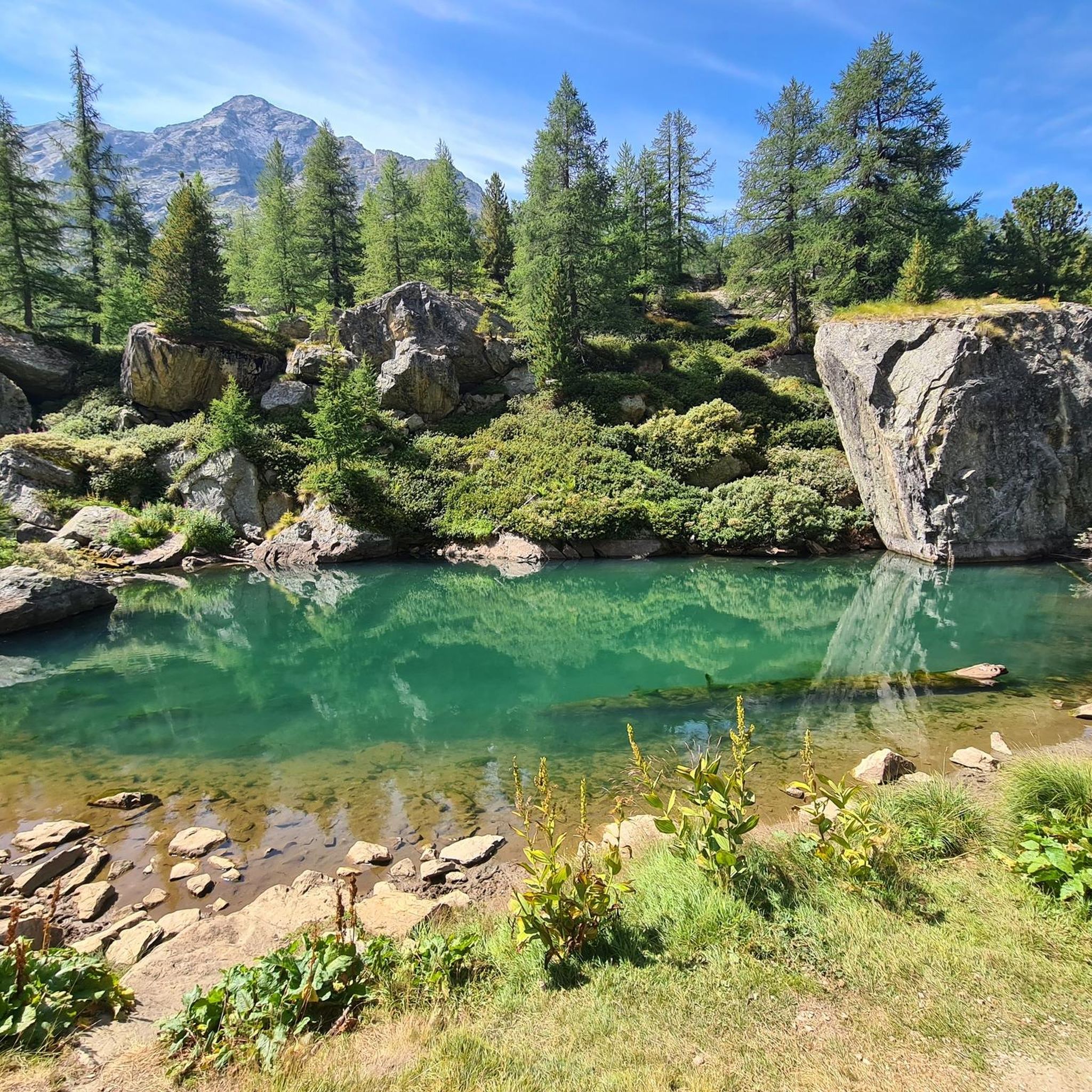
Running Trails around Gaby
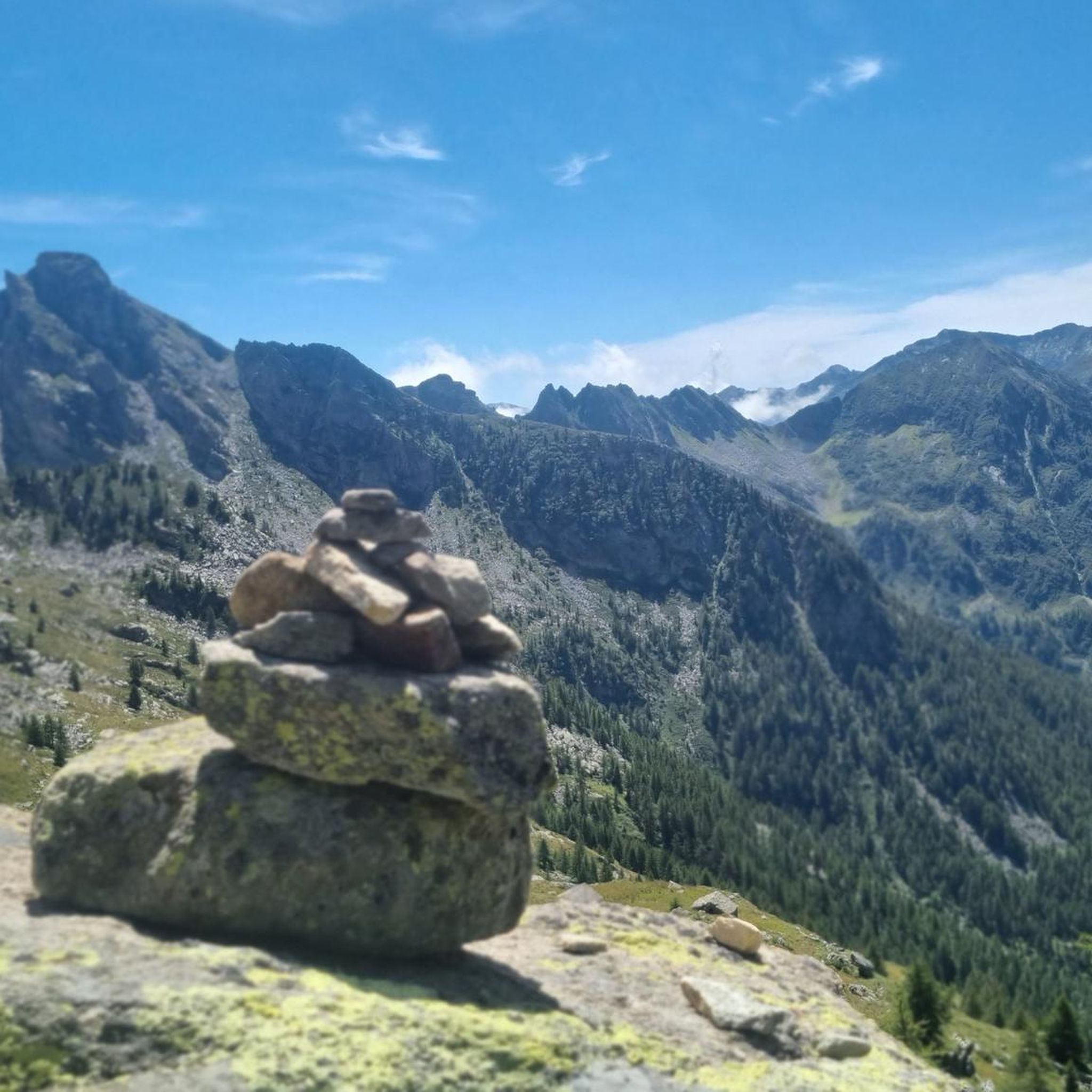
Road Cycling Routes around Gaby
Cycling around Gaby
Mountain Hikes around Gaby
Other adventures around Gaby


Tips from the Community

After a long climb you arrive at this plateau with a view of Monterosa, where a moment of respite is a godsend...
0
0

very panoramic stretch to catch your breath after the endless hairpin bends
0
0

The Fontainemore bridge, built in medieval times around 1200, is located next to the parish church and crosses the Lys stream with a single arch 22 meters long.
1
0

As soon as you arrive you find yourself in front of a natural postcard
0
1


This beautiful lake is located at the foot of the Mont Mars Nature Reserve. From its banks Punta Leretta, Punta Figlieu, Mount Mars, Mount Rosso, the Lei Long and Gragliasca peaks and Mount Pietra Bianca are visible. It's a nice place to take a break on your mountain run with a breathtaking view. The paths in this area are mostly free of technical difficulties and easy to follow while running.
3
0

descent for experts otherwise... portage
0
0
Frequently Asked Questions
How many mountain bike trails are available around Gaby?
Gaby offers a diverse network of over 35 mountain bike trails. These routes traverse the stunning alpine landscapes of the Aosta Valley, providing a range of experiences from moderate paths to challenging technical descents.
Are there easy mountain bike trails in Gaby suitable for beginners?
While Gaby is known for its challenging terrain, there are options for less experienced riders. The region features 1 easy trail and 7 moderate trails, allowing beginners to enjoy the scenic beauty without overly technical demands. These routes often navigate through varied terrain, including forested areas and open sections.
What kind of challenging mountain bike trails can I find in Gaby?
For experienced riders, Gaby boasts 27 difficult mountain bike trails. These routes feature significant elevation changes, long climbs, and technical descents through rocky sections and root-laced paths. An example of a challenging route is the Staffal – Biel Waterfall loop from Pont de Trenta, which covers 23.8 miles with substantial climbs and descents.
Are there any loop mountain bike trails in Gaby?
Yes, many mountain bike trails in Gaby are designed as loops, offering a complete and immersive experience. Popular loop routes include the moderate Gressoney-La-Trinitè – Lake Gover loop from Woald and the more challenging Lake Vargno – Bridge Below the Vargno Dam loop from Issime, which takes you through mountain valleys and past alpine lakes.
What natural features and viewpoints can I expect along the mountain bike trails in Gaby?
The trails around Gaby offer breathtaking views of the Aosta Valley's majestic peaks, including Mont Blanc and Monte Rosa. You'll encounter diverse landscapes such as alpine meadows, lush forests, and picturesque valleys. Many routes pass by stunning natural features like alpine lakes and waterfalls, providing numerous scenic viewpoints.
What do other mountain bikers enjoy most about the trails in Gaby?
The mountain bike trails in Gaby are highly rated by the komoot community, with an average score of 4.4 stars from over 200 reviews. Riders frequently praise the region's stunning alpine scenery, the diversity of the terrain, and the challenging nature of the routes. The natural, 'proper mountain biking' experience through flowy and chunky trails is a common highlight.
Are there any interesting landmarks or attractions near the mountain bike trails in Gaby?
Yes, the region around Gaby is rich in attractions. You can explore various mountain passes like Col de Joux or Ranzola Pass. There are also charming alpine settlements and huts, such as the Alpenzu Grande Village or Rifugio della Balma, which offer glimpses into local culture and provide opportunities for rest.
When is the best time of year for mountain biking in Gaby?
The Aosta Valley, where Gaby is located, is generally best for mountain biking from late spring through early autumn. During these months, the weather is more stable, and the high-altitude trails are typically free of snow. Autumn offers particularly beautiful scenery with changing foliage, making it a popular time for rides with stunning views.
Are there any long-distance mountain bike trails in Gaby?
Gaby offers several longer routes for those seeking extended rides. For example, the Fitness Trail – Ecomuseum of the Mid-Mountain loop from Issime is a difficult 26-mile (41.8 km) trail that can take over 4 hours to complete, providing a substantial challenge and a comprehensive tour of the area's diverse terrain.
Can I access mountain bike trails in Gaby using public transport?
While specific public transport options directly to trailheads may vary, the Aosta Valley generally has a public transport network that connects its towns and villages. It's advisable to check local bus schedules for connections to Gaby and nearby starting points for trails. Some routes might require a short ride or walk from the nearest public transport stop.
Are there any less crowded mountain bike trails around Gaby?
Given the extensive network of trails in the Aosta Valley, it's possible to find less crowded routes, especially outside of peak season or by exploring some of the more challenging, less-trafficked paths. The region's vastness allows for a sense of solitude amidst its natural beauty. Exploring trails that are not highlighted as 'most popular' can often lead to a quieter experience.
Most popular attractions around Gaby

Get inspired with the komoot mobile app


Explore more
Browse the best MTB trails in other regions.
