The 20 Most Amazing Peaks around Quart
Mountain peaks around Quart are located in the Valle d'Aosta region of Italy, offering diverse alpine landscapes. The area is characterized by its mountainous terrain, featuring numerous summits and viewpoints. Visitors can explore a range of elevations, from high-altitude refuges to prominent peaks. This region provides opportunities to experience the natural environment of the Graian Alps.
Best mountain peaks around Quart
- The most popular mountain peaks is Cuney Refuge and Oratory, a hut and religious building located at 2,652…
Last updated: August 4, 2026
Chamolé
Highlight • Summit
Translated by Google •
Tip by

Cuney Refuge and Oratory
Highlight • Mountain Hut
Translated by Google •
Tip by

Sign up now to discover places like this
Get recommendations on the best single tracks, peaks, & plenty of other exciting outdoor places.
Sign up for free
Punta Replan
Highlight • Viewpoint
Translated by Google •
Tip by
Cima Longhede summit and Bisaone Cross
Highlight • Summit
Translated by Google •
Tip by

Monte Emilius Summit and Statue
Highlight • Summit
Translated by Google •
Tip by

Sign up for free to discover even more peaks around Quart.
Sign up for free
Already have an account?
Start today with a free account
Your next adventure awaits.
Login or Signup

Tips from the Community

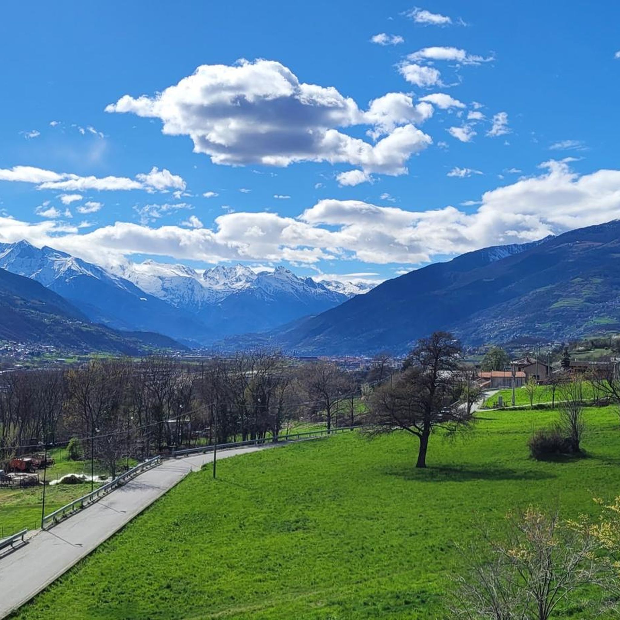
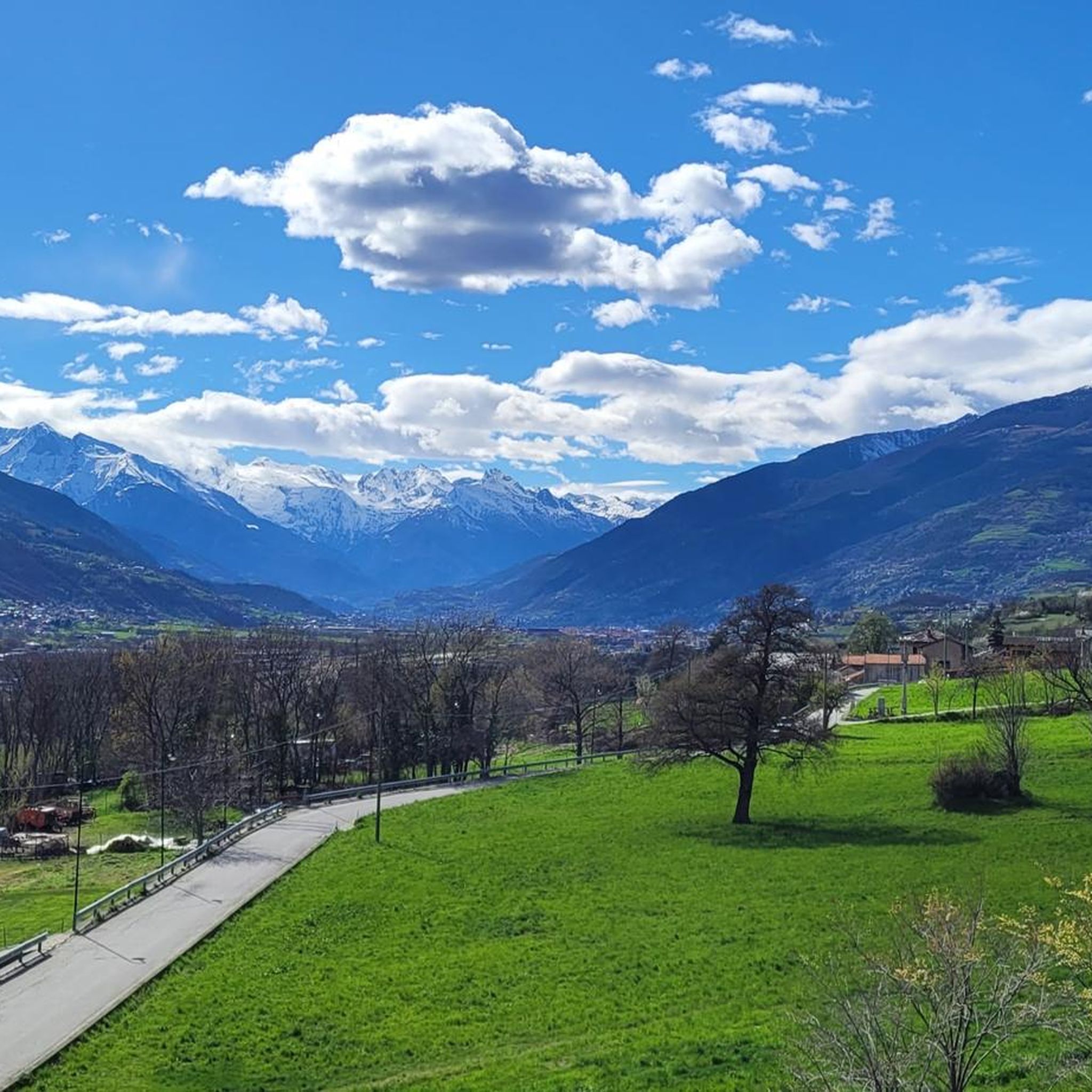
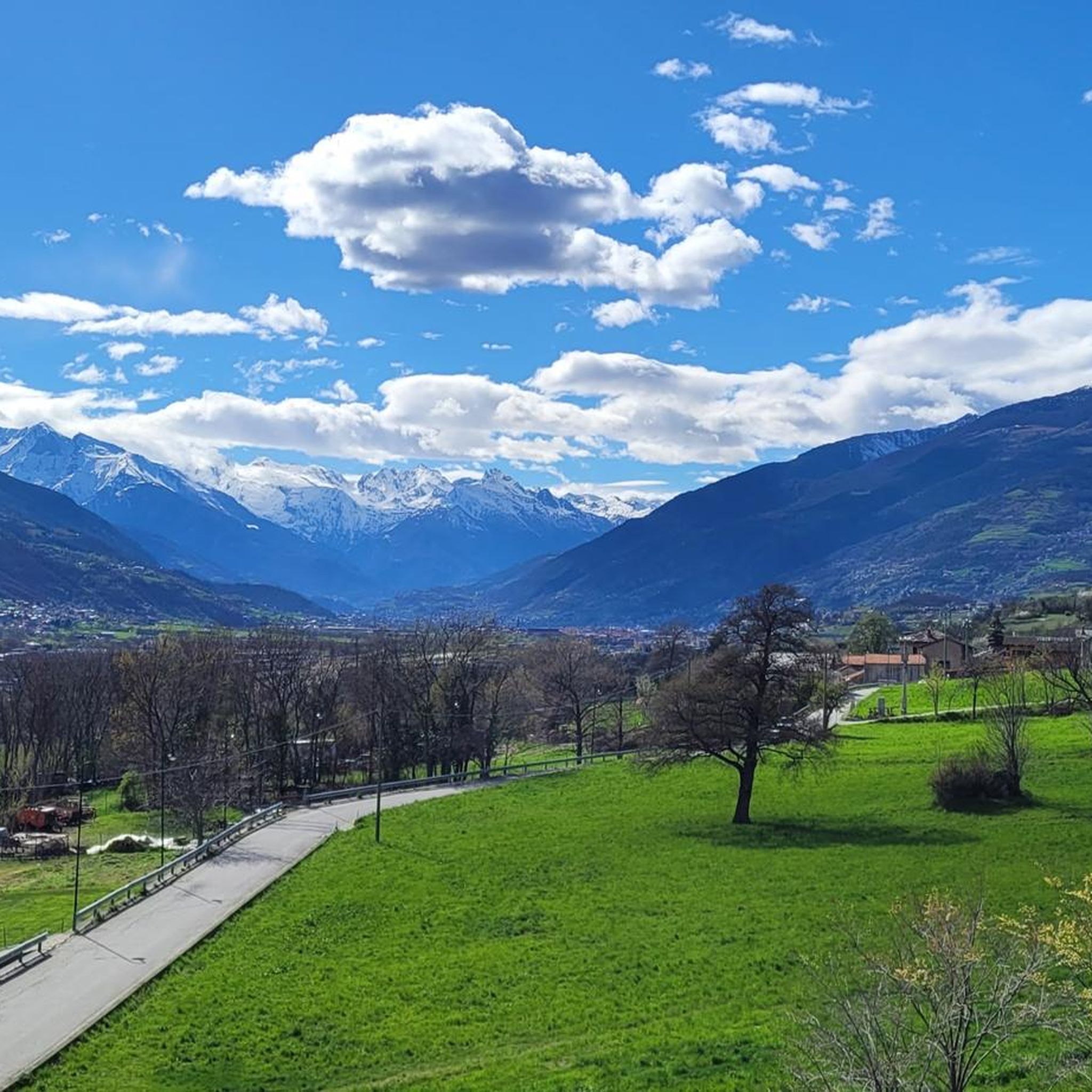
A fantastic view, weather permitting: Mont Blanc, Grandes Jorasses, Matterhorn, Punta Rosa. The overview board tells you where each peak is located.
0
0

The Rifugio Oratorio di Cunéy, perched at 2,652 meters in the heart of the Saint-Barthélemy valley, stands next to the sanctuary of the Madonna delle Nevi, one of the highest in Europe. Built on the ruins of a chapel dating back to 1656, it now welcomes hikers with simple warmth, wooden rooms, and home-cooked food, becoming a refuge and place of pilgrimage. The path to reach it from Lignan or Porliod winds through larch forests, pastures, and alpine lakes, up to the panoramic Col du Salvé, a prelude to the Cunéy basin, where the surrounding peaks protect this wild and sacred corner. In a single dive, sacredness merges with the mountain warmth: here the silence is profound, interrupted only by the wind and prayers, and every night captures the essence of haute montagne and alpine simplicity. At the back, a winter shelter (open all year round) is available to hikers who, having reached this place, wish to stop for the night, although the refuge and chapel are closed during the winter and low season.
2
0

near the refuge, the oratory is a witness to mountain civilization. Worth seeing are the ex-votos of the locals. Always open, the oratory reflects the great sacredness of the places and the mountains around.
0
0

A large white cross symbolizes this peak. It is often joined to Becca d'Aver, connected by an easy ridge path. There is not much space at the summit, and on summer weekends it is crowded. Here, after a short break to admire the view, it is worth descending and having a lunch break on the plains below.
0
0
About 3 hours to reach the refuge, where next to it is the Oratorio di Cuney sanctuary, the highest Marian sanctuary (dedicated to the Heavenly Mother) in Europe. There are several routes to reach it, the more adventurous can try the Passet path, exposed and equipped with chains, otherwise there is the alternative of the classic path
0
0

Mount Emilius, m. 3,559 s.l.m., is a mountain of the Graian Alps located in the Aosta Valley. Before 1839, it was known as Pic de dix heures, Pic Chamosser or Pic Chamoisier, later the peak was therefore named in honor of the fourteen-year-old Émilie Argentier who climbed it that year.
4
0

From the Federigo camp, follow the green signs and start climbing up along a stony ground, keep to the left at the beginning (north side) and then reach the ridge where the via ferrata starts. The track starts amid some rocks on the left side of the ridge and reaches the top, where there is a protruding rocky turret, linked to the following peak by a spectacular Tibetan bridge. The via ferrata continues along a vertical rock track and reaches Mont Ross de Comboé (3,285 m), located at the western side of Monte Emilius. At the beginning, you will be fascinated by the imposing and dark north side of Monte Emilius, while now you will have the whole of Aosta Valley and its mountains in full view, in the pleasant sunlight: the Gran Paradiso chain and Grivola to the south, Rutor and the whole Mont Blanc massif to the west, Gran Combin and the Alpine ridge of Valpelline to the north and Matterhorn, the Swiss Alps and Monte Rosa to the east. This gorgeous landscape will follow you until you reach the top. The via ferrata continues along the ridge, going from west to east following a long, almost horizontal trail, up to a sign indicating a possible downslope to the right (south side). This downslope follows a trail, which is not always visible, and reaches Lago Gelato (2,955 m), along a comfortable track going down to the Arbolle refuge (normal route of Emilius). Such a downslope represents an alternative for anyone wishing to abandon the via ferrata which reaches Piccolo Monte Emilius (3,342 m) and goes up the rugged and steep ridge, which you can overcome on the right, by following some huge red and compact rocky steps. If you keep to the south side, you reach a gap where the rock is lighter in colour and slightly more friable. You will have to take some careful steps and continue up a rocky slope until you come to the side where the equipped route ends. From there, you will reach the top (3,559 m) in about ten minutes. On the way down, follow the clearly indicated path along the normal route (south ridge) leading to Colle dei tre Cappuccini (3,222 m), where you need to be careful along a short exposed track. Follow the signs and keep to the right, going down the Arbolle deep valley, past Lago Gelato, up to the Arbolle refuge and, from there, you will reach the arrival station of the Chamolé chair-lift, after walking up the small Col Chamolé (2,641 m) along a comfortable path. (https://pila.it/en/track/the-via-ferrata-of-monte-emilius/)
3
0

It was Father Gino Perrom together with the Inaleme group of Penne Nere and the marble workers who, in 1969, gave life to the idea of building the Bisaone Cross on the highest point of the Verrayes territory. Source: Free translation according to information board
1
0
Frequently Asked Questions
What are some of the most popular mountain peaks to visit around Quart?
Among the most popular mountain peaks around Quart, visitors frequently highlight Cuney Refuge and Oratory, a high-altitude hut and religious building offering views of Monte Rosa, Gran Paradiso, and Rutor. Another favorite is Punta Replan, known for its panoramic views of 4,000-meter peaks like Mont Blanc and Monte Rosa, complete with ceramic orientation boards. Becca d'Aver summit is also appreciated for its extensive views and accessibility.
Are there any challenging mountain peaks for experienced climbers near Quart?
Yes, Monte Emilius Summit and Statue presents a challenging ascent, including a via ferrata along its ridge. Standing at 3,559 meters, it offers an incredible panorama of the entire Aosta Valley and major Alpine giants like Gran Paradiso, Mont Blanc, and the Matterhorn.
What kind of views can I expect from the mountain peaks around Quart?
The mountain peaks around Quart offer diverse and spectacular views. From Cuney Refuge and Oratory, you can admire Monte Rosa, Gran Paradiso, and Rutor. Punta Replan provides a fantastic perspective on numerous 4,000-meter peaks, including Mont Blanc and Monte Rosa. From Cima Longhede summit and Bisaone Cross, you'll get an exceptional panorama covering the Matterhorn, Monte Rosa, Gran Paradiso, Mont Blanc, and more.
Are there any religious or historical landmarks on the mountain peaks?
Yes, the Cuney Refuge and Oratory is a religious building and the highest refuge of the Alte Vie of the Aosta Valley, with the sanctuary of the Madonna delle Nevi nearby. Additionally, the Bisaone Cross on Cima Longhede is a significant man-made monument, one of the largest Christian symbols in the mountains of the Aosta Valley, erected in 1969.
What other outdoor activities can I do near the mountain peaks around Quart?
Beyond peak bagging, the area around Quart offers a variety of outdoor activities. You can explore numerous MTB trails, enjoy scenic road cycling routes, or go for a run on the running trails. These guides provide options for various difficulty levels and distances.
What is the highest mountain peak mentioned in the Quart area?
The highest mountain peak mentioned in the Quart area is Monte Emilius Summit and Statue, which stands at 3,559 meters above sea level.
Are there any easily accessible viewpoints for those seeking less strenuous options?
Yes, Punta Replan is easily reachable with about an hour's walk from the arrival of a chairlift, offering spectacular views without an overly strenuous climb. Similarly, Cima Longhede summit and Bisaone Cross is described as an easy summit with an exceptional panorama.
What makes the mountain peaks around Quart unique?
The mountain peaks around Quart are unique for their diverse alpine landscapes within the Valle d'Aosta region of Italy. They offer a range of experiences from high-altitude refuges like Cuney Refuge and Oratory to challenging climbs like Monte Emilius, all providing stunning views of the Graian Alps and iconic 4,000-meter peaks.
What do visitors say about the mountain peaks near Quart?
Visitors frequently praise the exceptional panoramas and stunning views from the peaks. For instance, Cima Longhede is noted for its 'exceptional panorama,' while Monte Emilius offers an 'incredible panorama over the entire valley and the alpine giants.' The community has shared 110 photos and given 82 upvotes, indicating a high level of appreciation for the natural beauty and experiences.
Can I find information about the surrounding mountains from the viewpoints?
Yes, at Punta Replan, the lookout point features ceramic orientation boards that help you identify the names of all the mountains in the area, including famous 4,000-meter peaks like Mont Blanc and Monte Rosa.
Are there any intermediate-level mountain peaks suitable for hikers with some experience?
Yes, Becca d'Aver summit is an intermediate peak accessible via a climb over the Col d'Aver, offering extensive views. Punta Replan is also categorized as intermediate, providing a rewarding experience for those with some hiking background.
Most popular routes around Quart
Most popular attractions around Quart

Get inspired with the komoot mobile app


Explore more
See even more amazing summits around Quart with these guides:
