The best road cycling routes around Doues
4.3
(422)
12,530
riders
92
rides
Road cycling routes around Doues are situated in a mountainous region, characterized by significant elevation changes, alpine valleys, and challenging mountain passes. The terrain includes ascents and descents through varied landscapes, offering diverse road cycling terrain elevation difficulty. This area provides routes that navigate through valleys and climb towards high-altitude passes, typical of the Aosta Valley.
Best road cycling routes around Doues
- The most popular road cycling route is Great St Bernard Pass from Aosta, a 36.0 miles (58.0…
Last updated: September 26, 2026
4.5
(2)
30
riders
16.7km
01:13
610m
610m
Moderate road ride. Good fitness required. Mostly well-paved surfaces and easy to ride.
4.1
(9)
341
riders
70.9km
03:55
1,490m
1,490m
Hard road ride. Very good fitness required. Mostly well-paved surfaces and easy to ride.

3.0
(1)
166
riders
45.5km
02:59
1,340m
1,350m
Hard road ride. Very good fitness required. Mostly well-paved surfaces and easy to ride.
5.0
(2)
72
riders
29.9km
01:59
940m
940m
Hard road ride. Very good fitness required. Mostly well-paved surfaces and easy to ride.
44
riders
45.9km
02:48
1,140m
1,140m
Hard road ride. Very good fitness required. Mostly well-paved surfaces and easy to ride.
Get access to more routes and recommendations from other explorers.
Already have an account?
Our route recommendations are based on thousands of hikes, rides, and runs completed by other people on komoot.
Start today with a free account
Your next adventure awaits.
Popular around Doues

Alta Via n. 1 of the Aosta Valley — a walk among Italian giants
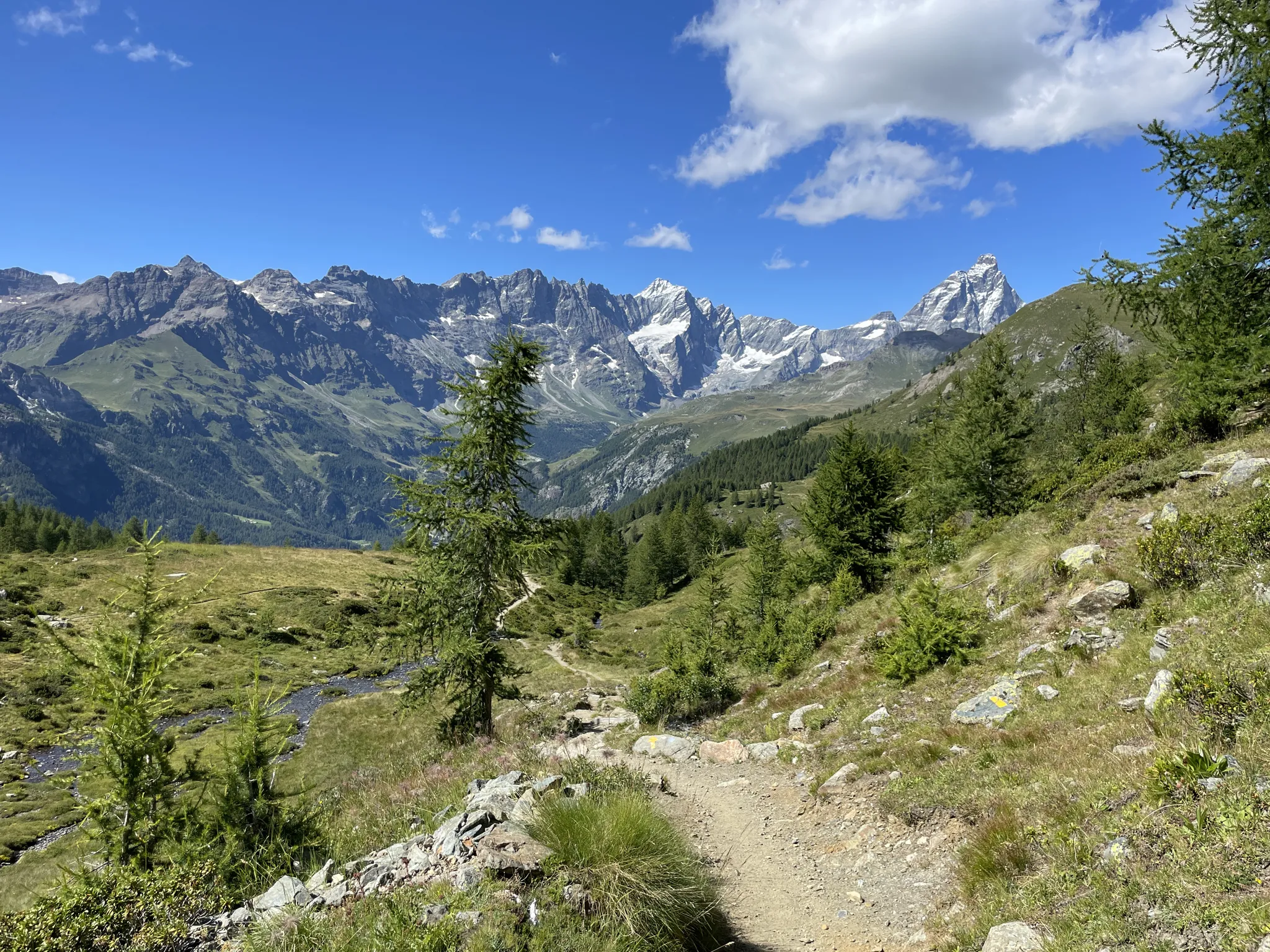
Running with the giants – Alta Via 1 in the Aosta Valley
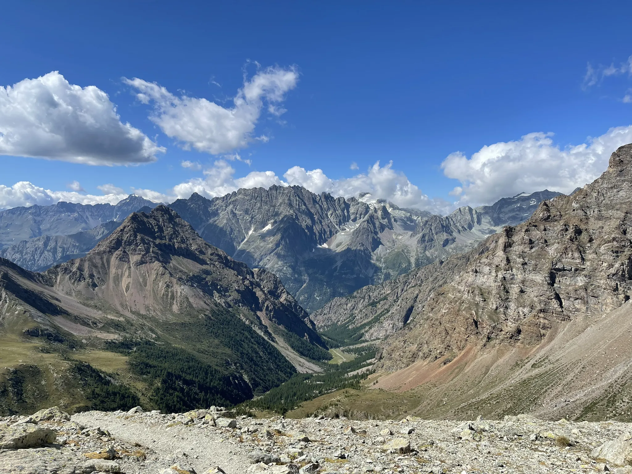
Running between the giants of the Alps – Tor des Géants

A walk among Italian giants — Aosta Valley High Route 1
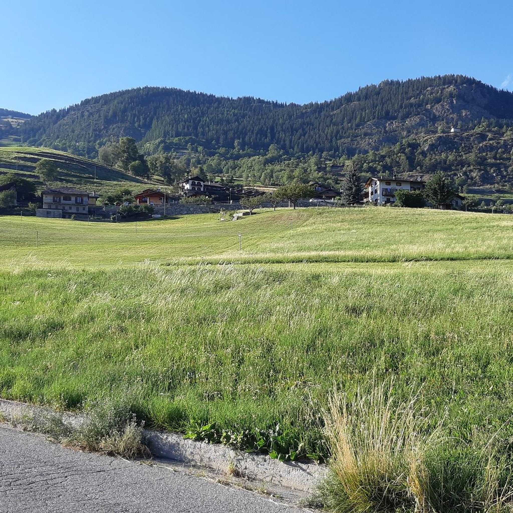
Hiking around Doues
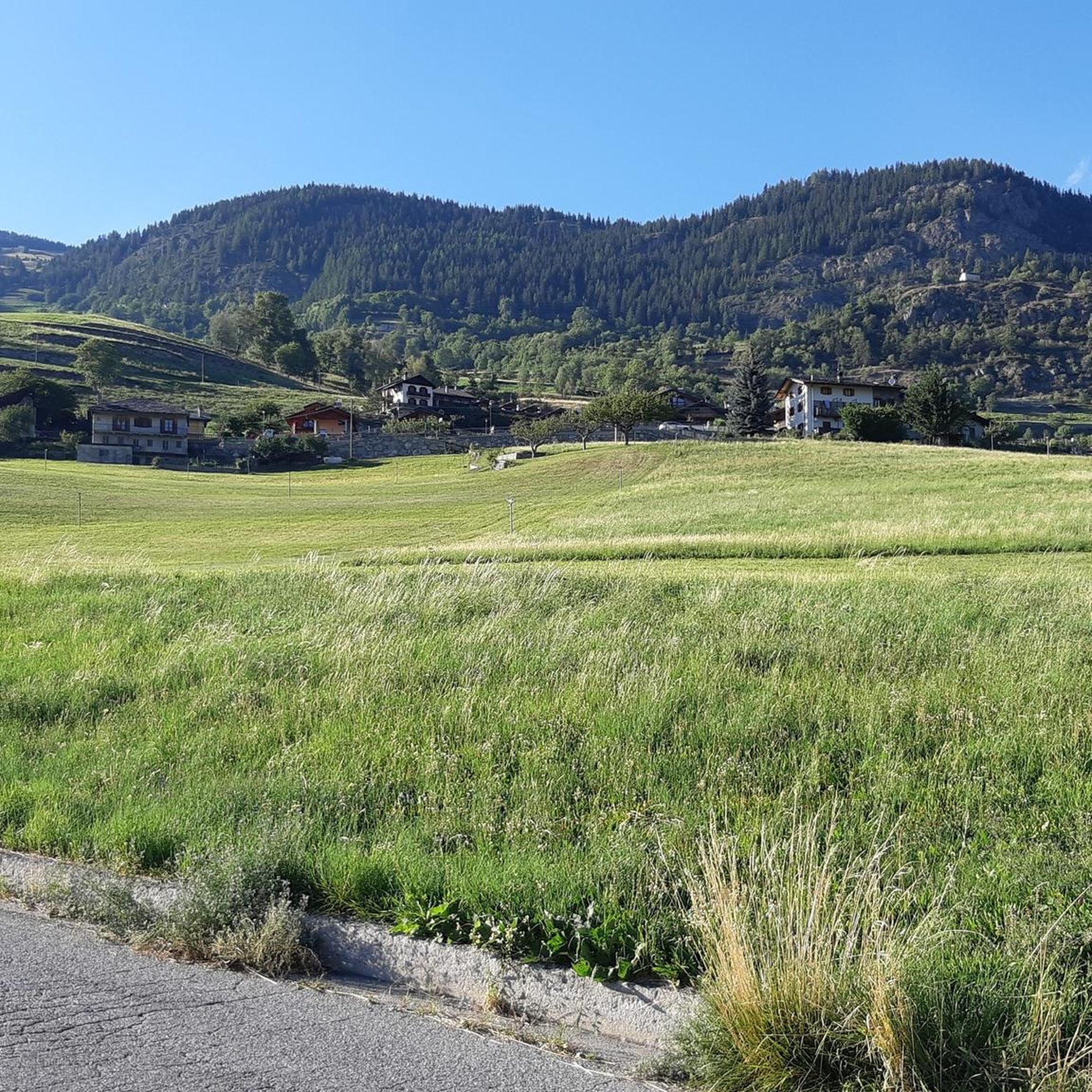
MTB Trails around Doues

Gravel biking around Doues
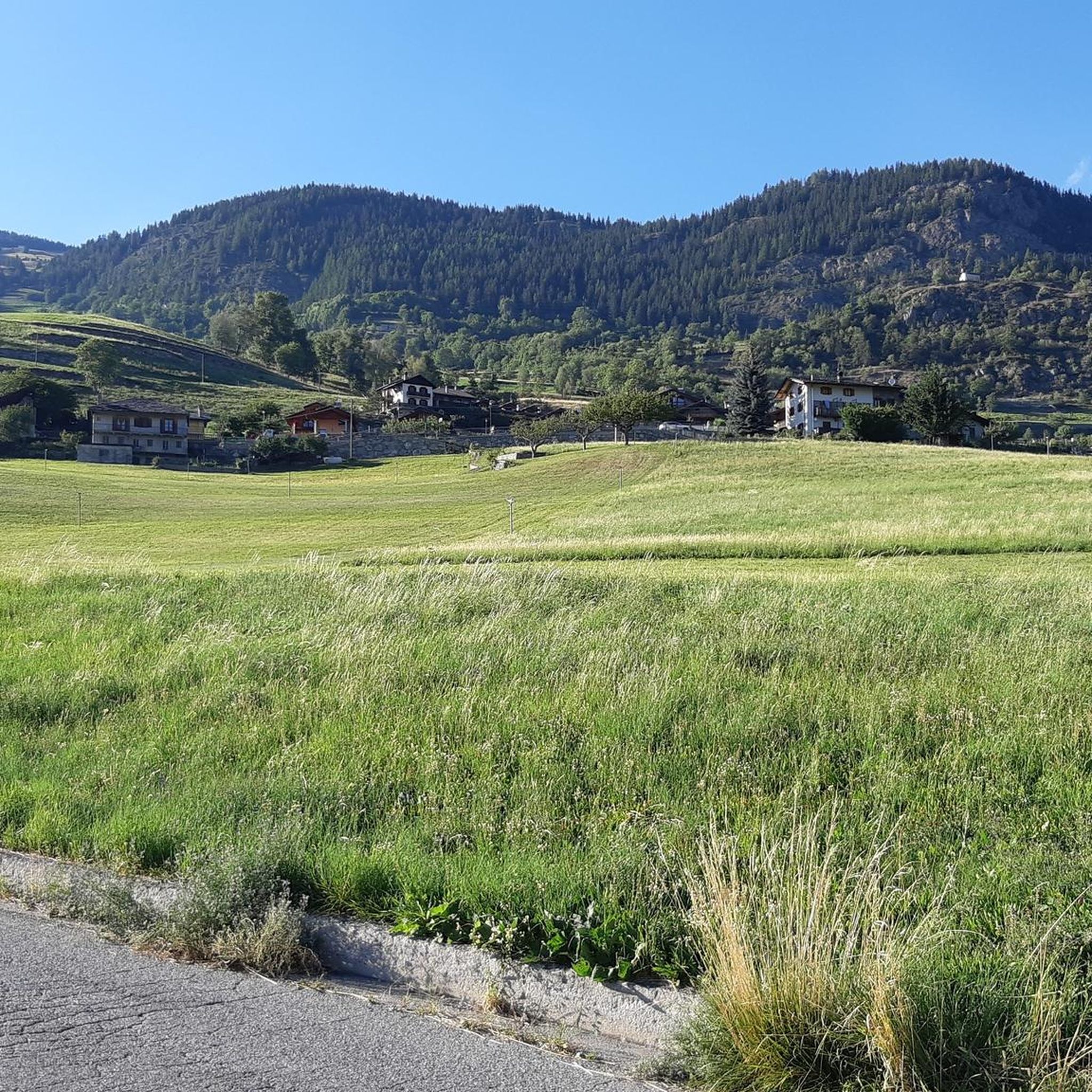
Cycling around Doues
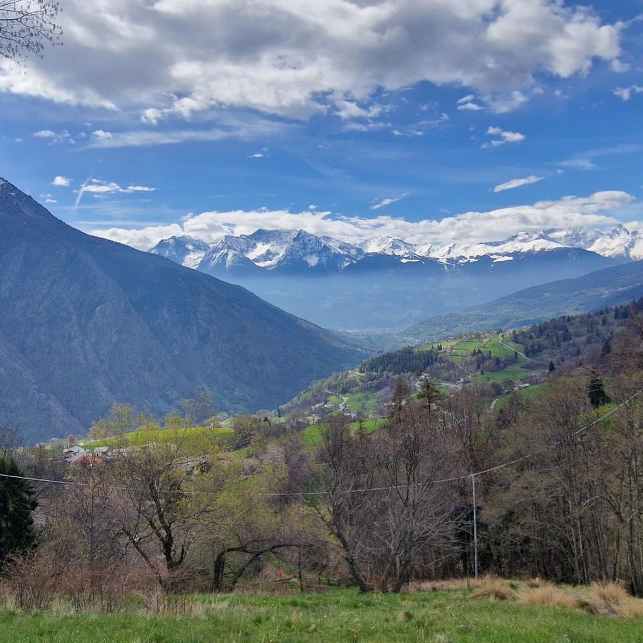
Running Trails around Doues
Mountain Hikes around Doues
Other adventures around Doues


Tips from the Community

When coming down from St. Bernhard, perhaps take a break here and stop for refreshments, because Aosta city unfortunately lacks the romance of a mountain village.
0
0


The Municipality of Gignod embodies the true essence of the Aosta Valley mountains, strategically located along the ancient routes of the Via Francigena. Surrounded by lush forests and imposing peaks towards the Gran San Bernardo, this picturesque territory combines nature, culture, and ancient traditions in a suggestive alpine setting, proving to be the perfect destination for a regenerating stop during an outdoor itinerary or for a day exploring the high-altitude beauties. Beyond the breathtaking panoramas, Gignod is a crossroads of stories to be experienced at a slow pace, where the strong connection with the land is expressed through excursions to the historic medieval Tower, bike rides on pristine trails, and moments of absolute tranquility. A perfect balance between historical heritage, spectacular landscapes, and deep relaxation, ideal for immersing yourself completely in the charm of the Aosta Valley. The Municipality of Gignod is also the ideal place to recharge your e-Bike and earn DINAclub points. Find out how at: dinaclub.repower.com To discover the territory, here is an itinerary ready to be cycled: komoot.com/tour/2955453853
0
0

Arpuilles is a hamlet in the municipality of Aosta, nestled on the hill north of the city at an altitude of about 1000 meters. The village, along with nearby Signayes, is part of that system of mid-mountain settlements that the Salassi—the Celtic population who inhabited the valley before the Roman conquest—seemed to prefer to the valley floors, and which over the centuries has maintained a rural character distinct from that of the underlying capital. So strong was this sense of identity that in the past the inhabitants of Arpuilles and Signayes even attempted to separate from the municipality of Aosta to form an autonomous municipality. The inhabited core consists of stone and wood houses arranged along the road that climbs from the plain, surrounded by meadows, pastures, and deciduous woods. From Arpuilles, one enjoys an open view of the Aosta basin and the surrounding mountains: Monte Emilius, Becca di Nona, and, in the distance, the peaks of Gran Paradiso. Its sunny position, sheltered from the north winds, has historically made it an area for spring and autumn grazing. Here passes the terminal section of the Ru Neuf, the ancient irrigation canal from 1327 that brought water from Étroubles to the hill of Aosta.
0
0

Ancient connecting road that runs halfway up the Aosta plain, already used in pre-Roman and then Roman times to cross the valley. Today it is a quiet secondary road, ideal for cycling away from traffic, among terraced vineyards, small villages and open views of the valley floor.
1
0

You can also stay for just a few hours: the hour costs 50 cents (as of 2025).
0
0

The Arco di Augusto was built in 25 BC in honour of Emperor Augustus after the Roman victory over the Salassi. This impressive arch marks the northern entrance to the city and is located in line with the decumanus maximus. It is made of conglomerate blocks and has a single arch with a height of 11.40 metres. The ten half-columns on the facades and sides are decorated with Corinthian capitals. The Doric frieze, with metopes and triglyphs, adds a classical touch. In the Middle Ages it was known as Saint-Voût because of an image of the Redeemer that was placed there. During the 12th century it served as a residence for a local noble family and later as a fortress for the balestrieri. In 1716 the roof was replaced with slate due to water damage. The current appearance is the result of restoration work in 1912. Under the arch is a wooden cross, a copy of the original placed in 1449 as a votive offering against flooding from the Buthier River.
8
0
One of the most characteristic monuments of Aosta that tells of its Roman origins: built in 25 BC. by Aulo Terenzio Varrone Murena, not far from the eastern entrance of the walls.
8
0
Frequently Asked Questions
How many road cycling routes are available around Doues?
There are over 80 road cycling routes around Doues, offering a wide range of options for different skill levels. These routes navigate through alpine valleys and challenging mountain passes typical of the Aosta Valley.
What kind of terrain can I expect when road cycling near Doues?
Road cycling near Doues is characterized by mountainous terrain with significant elevation changes. You'll encounter ascents and descents through varied alpine landscapes, including challenging mountain passes and scenic valleys. The region is part of the Aosta Valley, known for its demanding yet rewarding cycling experiences.
Are there road cycling routes suitable for beginners or less experienced riders in Doues?
Yes, while many routes are challenging, there are approximately 13 easy road cycling routes around Doues. These routes often feature more gradual climbs or flatter sections through valleys, providing a good starting point for less experienced riders to enjoy the region's beauty.
What historical landmarks or scenic viewpoints can I discover along road cycling routes in Doues?
The Doues area, situated in the Aosta Valley, is rich in history and natural beauty. You can cycle past ancient Roman ruins like the Criptoportico Forense, or historical sites such as the Castello di Aymavilles. Routes also offer stunning viewpoints, for example, the Ville-sur-Sarre Viewpoint, providing panoramic vistas of the alpine landscape.
Are there any notable natural features or lakes to see while road cycling in the Doues area?
Absolutely. The region boasts several beautiful natural features and alpine lakes. You can cycle towards the Great St Bernard Hospice and the nearby Lac de Grand Saint Bernard. Other picturesque lakes in the vicinity include the Fenetre Lakes, Lake Lexert, and Lago delle Rane, offering serene spots along your ride.
What is the best season for road cycling in Doues?
Given its mountainous alpine environment, the best season for road cycling in Doues is typically from late spring through early autumn (roughly May to October). During these months, the weather is generally more stable, and high mountain passes are clear of snow, offering optimal conditions for exploring the region's challenging and scenic routes.
Are there any circular road cycling routes around Doues?
Yes, Doues offers several circular road cycling routes that allow you to start and end in the same location. An example is the Castello di Aymavilles – Arch of Augustus loop from Gignod, which takes you through historical landmarks and varied terrain. Another option is the Church of Saint Michael, Oyace – Place Moulin Dam loop from Ollomont.
Is parking available for road cyclists in Doues?
While specific parking areas for cyclists are not detailed, as a general rule in the Aosta Valley, you can often find public parking in villages and near popular trailheads. It's advisable to check local signage or municipal websites for parking regulations and availability in Doues and surrounding towns before your ride.
What do other road cyclists enjoy the most about road cycling in Doues?
The road cycling routes around Doues are highly rated by the komoot community, with an average score of 4.5 stars from over 250 reviews. Cyclists often praise the challenging mountain passes, the stunning alpine scenery, and the diverse terrain that caters to various skill levels, from moderate valley rides to difficult ascents like the Great St Bernard Pass.
Are there any family-friendly road cycling routes in the Doues area?
While many routes in Doues involve significant elevation, there are easier options that could be suitable for families with older children or those looking for a less strenuous ride. Look for routes categorized as 'easy' among the 13 available, which typically follow valley floors or have gentler gradients, allowing for a more relaxed experience.
Can I find cafes or accommodation along the road cycling routes in Doues?
Yes, as Doues is located in the Aosta Valley, a popular tourist region, you will find various amenities. Villages and towns along the routes, such as Aosta or Gignod, offer cafes, restaurants, and accommodation options. It's always a good idea to plan your route and check for services in advance, especially when venturing into more remote alpine areas.
Most popular attractions around Doues

Get inspired with the komoot mobile app


Explore more
Browse the best Road cycling routes in other regions.
