The best running trails around Verrayes
4.6
(33)
3,787
runners
219
runs
Jogging around Verrayes offers a variety of routes through the Aosta Valley's alpine terrain. The region is characterized by its mountainous landscapes, with trails often providing panoramic views of the surrounding peaks. While many routes present significant elevation changes, there are also options for less strenuous running. The network of paths allows for exploration of both higher altitudes and valley floors.
Best jogging routes around Verrayes
- The most popular jogging route is View of the Alps loop from Mongnod,…
Last updated: August 14, 2026
88
runners
17.0km
01:48
90m
90m
Hard run. Very good fitness required. Mostly paved surfaces. Suitable for all skill levels.
4.0
(2)
54
runners
5.89km
00:37
40m
40m
Moderate run. Good fitness required. Mostly paved surfaces. Suitable for all skill levels.

Sign up for free
19
runners
8.08km
01:55
780m
780m
Hard run. Very good fitness required. Sure-footedness, sturdy shoes and alpine experience required.
10
runners
12.3km
01:58
690m
690m
Hard run. Very good fitness required. Sure-footedness, sturdy shoes and alpine experience required.
11
runners
9.01km
01:00
210m
210m
Moderate run. Good fitness required. Mostly paved surfaces. Suitable for all skill levels.
Get access to more routes and recommendations from other explorers.
Sign up for free
Already have an account?
Our route recommendations are based on thousands of hikes, rides, and runs completed by other people on komoot.
Start today with a free account
Your next adventure awaits.
Login or Signup





Tips from the Community

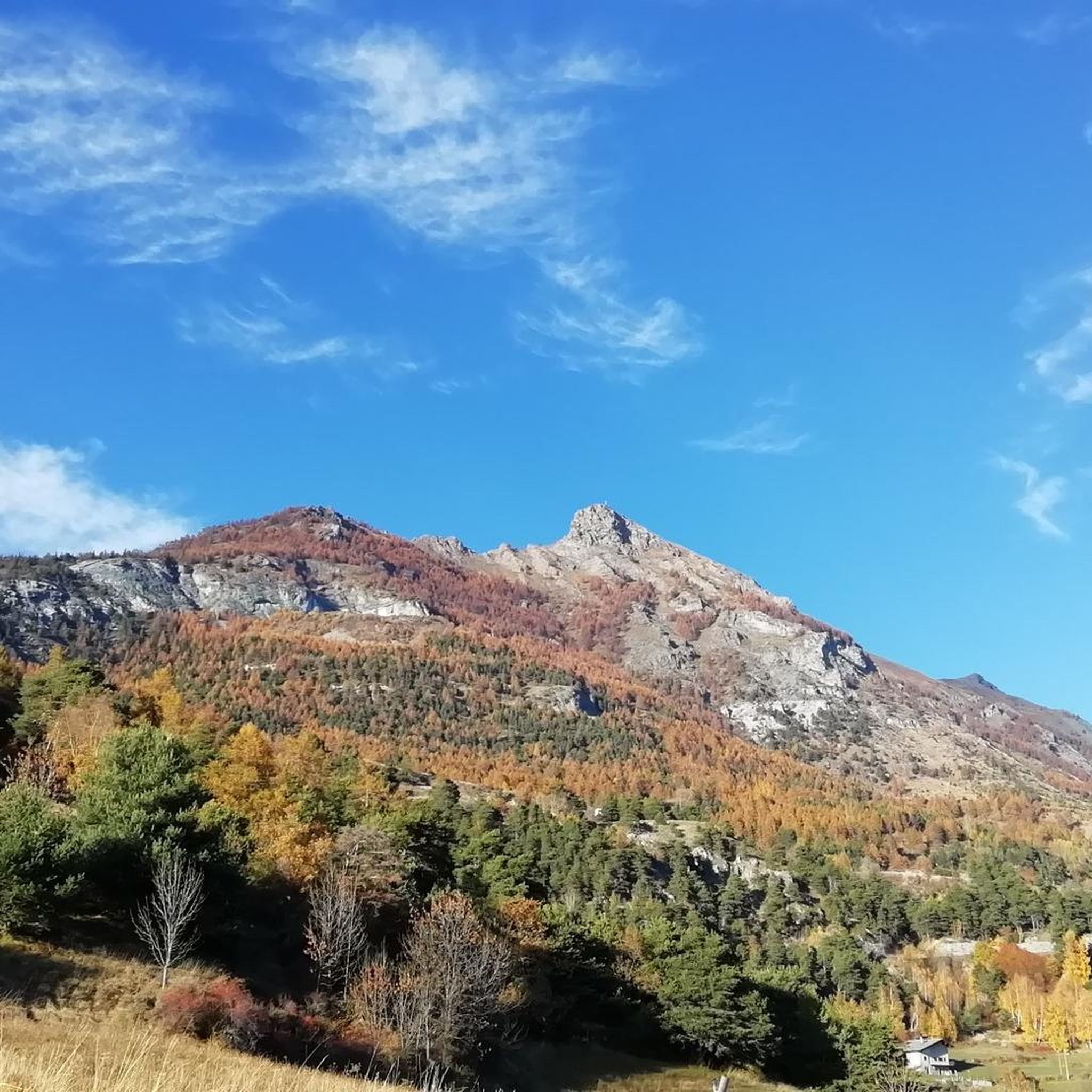
The Becca d'Aver, located at 2,469 meters, can be reached via a very easy climb over the Col d'Aver. The route to the Col de Fenêtre is more technically challenging, but definitely doable. Those who can should plan the easy ridge hike to Cima Longhede. This is not technically demanding.
1
0

This peak is usually reached from Champlong, and is connected to the Longhede peak by an easy ridge line, so they both touch. Usually the first to be reached is the Becca d'Aver
0
0

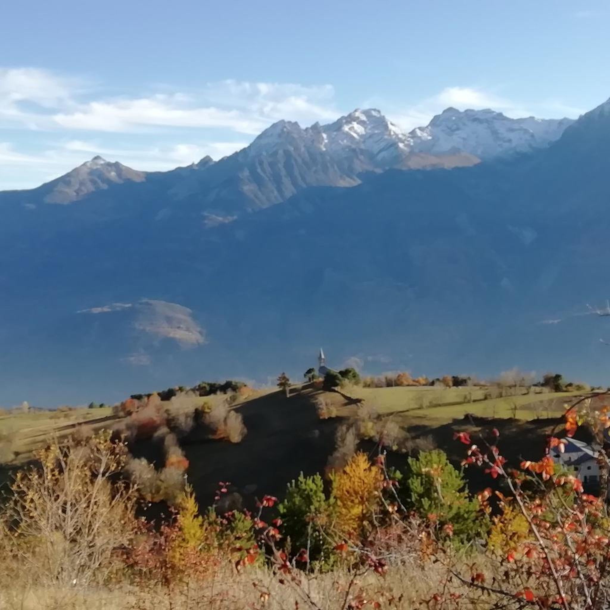
Splendid view over the Cervinia valley and the villages on the opposite side.
0
0

An e-bike charging station has recently been installed.
0
0

Railway over the Dora. Worse were the consequences of the previous floods. The cycle path was no longer recognisable and transformed into a single sandy plain.
7
0
It's almost unbelievable how much current there is on that hydroelectric canal.
7
0

Be careful, after flooding some parts are still destroyed
0
0

Beautiful cycle path, excellent example of how public money can be spent well. The stretch closest to the Dora, immediately after Septumian, is currently covered in sand after the last flood of the river at the beginning of the summer
0
0
Frequently Asked Questions
How many running routes are available in Verrayes?
There are over 110 dedicated running routes around Verrayes, offering a wide range of options for different skill levels and preferences. The komoot community has explored these trails extensively, with over 1,500 runners using the platform to discover the region's diverse terrain.
Are there any easy or beginner-friendly jogging routes in Verrayes?
While Verrayes is known for its challenging alpine terrain, there are a few easier options available. The guide lists 3 routes categorized as easy, which are suitable for beginners or those looking for a less strenuous run. These routes typically feature less elevation gain compared to the more difficult mountain trails.
What kind of views can I expect on the running trails around Verrayes?
The running trails in Verrayes are renowned for their panoramic views of the surrounding peaks and the Aosta Valley. Many routes, such as the View of the Alps loop from Mongnod, offer extensive mountain vistas, allowing you to experience the stunning alpine landscape while you run.
Are there circular running routes available in Verrayes?
Yes, many of the running routes in Verrayes are designed as loops, allowing you to start and finish at the same point. Examples include the popular View of the Alps loop from Mongnod and the challenging Running loop from Mongnod, providing convenient options for your run.
What are some interesting landmarks or natural attractions I can see along the running routes?
Verrayes's running routes often pass by or offer views of various natural and historical points of interest. You might encounter features like the Freideron Stream Waterfalls, the historic Ponte delle Capre, or enjoy a View of Châtillon. Some trails also lead past mountain huts like the Cuney Refuge and Oratory or Rifugio Magià.
What do other runners say about the trails in Verrayes?
The running trails in Verrayes are highly regarded by the komoot community, holding an average rating of 4.4 stars from over 13 reviews. Runners frequently praise the challenging yet rewarding alpine environment, the stunning panoramic views, and the variety of routes available for different fitness levels.
Is Verrayes suitable for dog-friendly running?
Many trails in the Verrayes region are suitable for running with dogs, especially those in natural alpine environments. However, it's always advisable to keep your dog on a leash, especially in areas with livestock or wildlife, and to check local regulations for specific trails or protected areas. Ensure your dog is accustomed to mountain terrain and carry enough water for both of you.
Are there options for running in Verrayes during winter?
Winter running in Verrayes is possible, but it requires careful planning and appropriate gear due to the alpine environment. Lower elevation trails might be accessible, but higher mountain paths will likely be covered in snow and ice, requiring snowshoes or cross-country skis rather than running shoes. Always check weather and trail conditions before heading out in winter.
What is the best time of year to go running in Verrayes?
The best time for running in Verrayes is typically from late spring to early autumn (May to October). During these months, the weather is generally milder, and most mountain trails are free of snow. Summer offers pleasant temperatures at higher altitudes, while spring and autumn provide beautiful scenery with fewer crowds.
Are there any running routes that pass by lakes or water features?
Yes, some routes in the Verrayes area offer views of or pass by natural water features. For instance, you might find trails that lead towards areas like the Gorza Alp and Lake, providing a refreshing element to your run amidst the alpine scenery.
What are the typical distances and durations for running routes in Verrayes?
Running routes in Verrayes vary significantly in distance and duration. You can find shorter, more intense runs like the Mont de la Fenêtre – Becca d'Aver loop from Torgnon, which is about 6.5 km (4 miles) and takes around 1.5 hours. Longer, more challenging routes, such as the Cuney Oratory Refuge – Rifugio Magià loop from La Comba, can be over 16 km (10 miles) and take nearly 3 hours to complete, depending on your pace and the elevation gain.
Is public transport available to access running trails in Verrayes?
Accessing trails in Verrayes often involves reaching smaller villages or trailheads. While public transport options like local buses exist within the Aosta Valley, direct access to every trailhead might be limited. It's recommended to check local bus schedules in advance or consider driving to trail starting points, especially for routes further into the mountains.
Are there places to park near the running trailheads in Verrayes?
Parking availability varies by trailhead in Verrayes. Many villages and popular starting points for mountain activities, such as Mongnod or La Comba, will have designated parking areas, though they can fill up during peak season. Always look for official parking signs and avoid obstructing local roads or private property.
Most popular attractions around Verrayes

Get inspired with the komoot mobile app


Explore more
Browse the best Running Trails & Routes in other regions.
