The best road cycling routes around Saint-Rhémy-En-Bosses
4.1
(206)
7,685
riders
37
rides
Road cycling around Saint-Rhémy-En-Bosses is characterized by its alpine environment, featuring high mountain passes and deep valleys. The region offers challenging ascents and descents, with roads winding through dramatic landscapes. Cyclists can expect significant elevation changes as routes often lead towards iconic passes like the Great St Bernard.
Best road cycling routes around Saint-Rhémy-En-Bosses
- The most popular road cycling route is Great St Bernard Hospice – Émile Chanoux Square loop from Bourg-Saint-Bernard, a 55.0 miles (88.6 km) trail that…
Last updated: October 9, 2026
4.8
(10)
223
riders
36.6km
02:28
1,220m
1,220m
Hard road ride. Very good fitness required. Mostly well-paved surfaces and easy to ride.
2.5
(2)
155
riders
67.9km
04:07
1,710m
1,710m
Hard road ride. Very good fitness required. Some segments of this route may be unpaved and difficult to ride.

3.0
(1)
61
riders
Moderate road ride. Good fitness required. Mostly well-paved surfaces and easy to ride.
4.0
(1)
33
riders
31.8km
02:17
1,160m
1,160m
Hard road ride. Very good fitness required. Some segments of this route may be unpaved and difficult to ride.
5.0
(1)
13
riders
48.2km
02:53
1,220m
1,210m
Hard road ride. Very good fitness required. Mostly well-paved surfaces and easy to ride.
Get access to more routes and recommendations from other explorers.
Already have an account?
Our route recommendations are based on thousands of hikes, rides, and runs completed by other people on komoot.
Start today with a free account
Your next adventure awaits.
Popular around Saint-Rhémy-En-Bosses

Alta Via n. 1 of the Aosta Valley — a walk among Italian giants
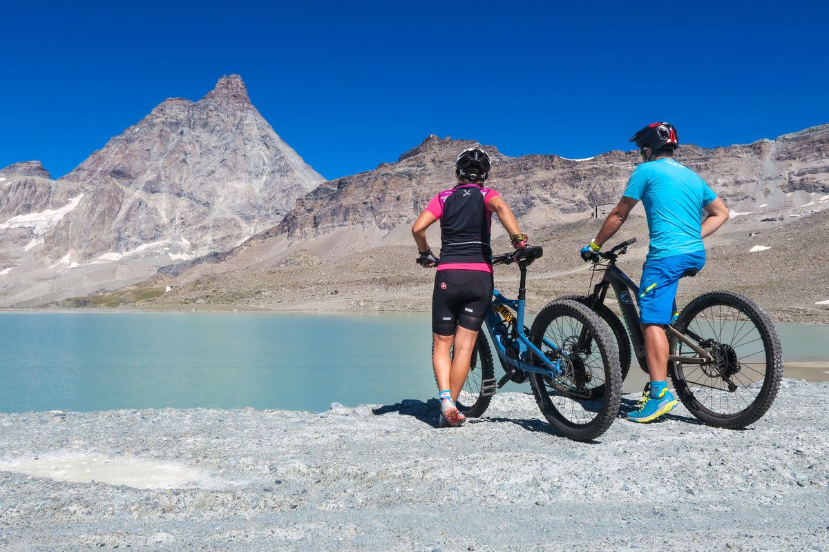
The Aosta Valley by MTB – between valleys and majestic peaks
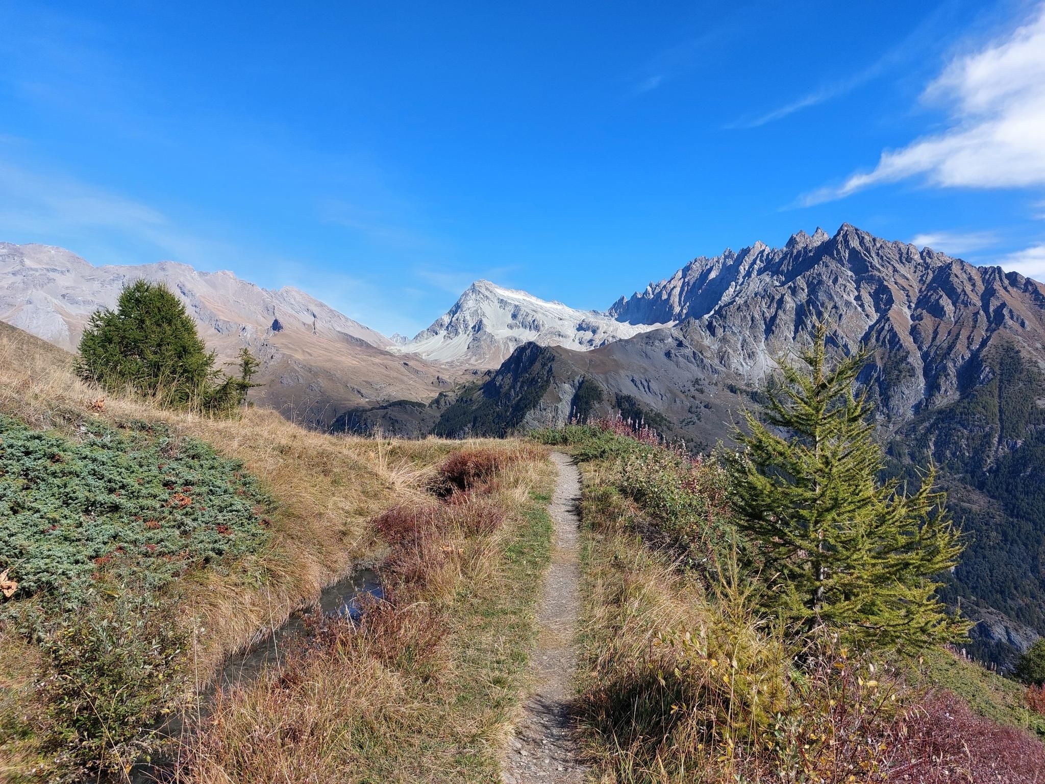
Tour des Combins - A jewel nestled between Mont Blanc and the Matterhorn
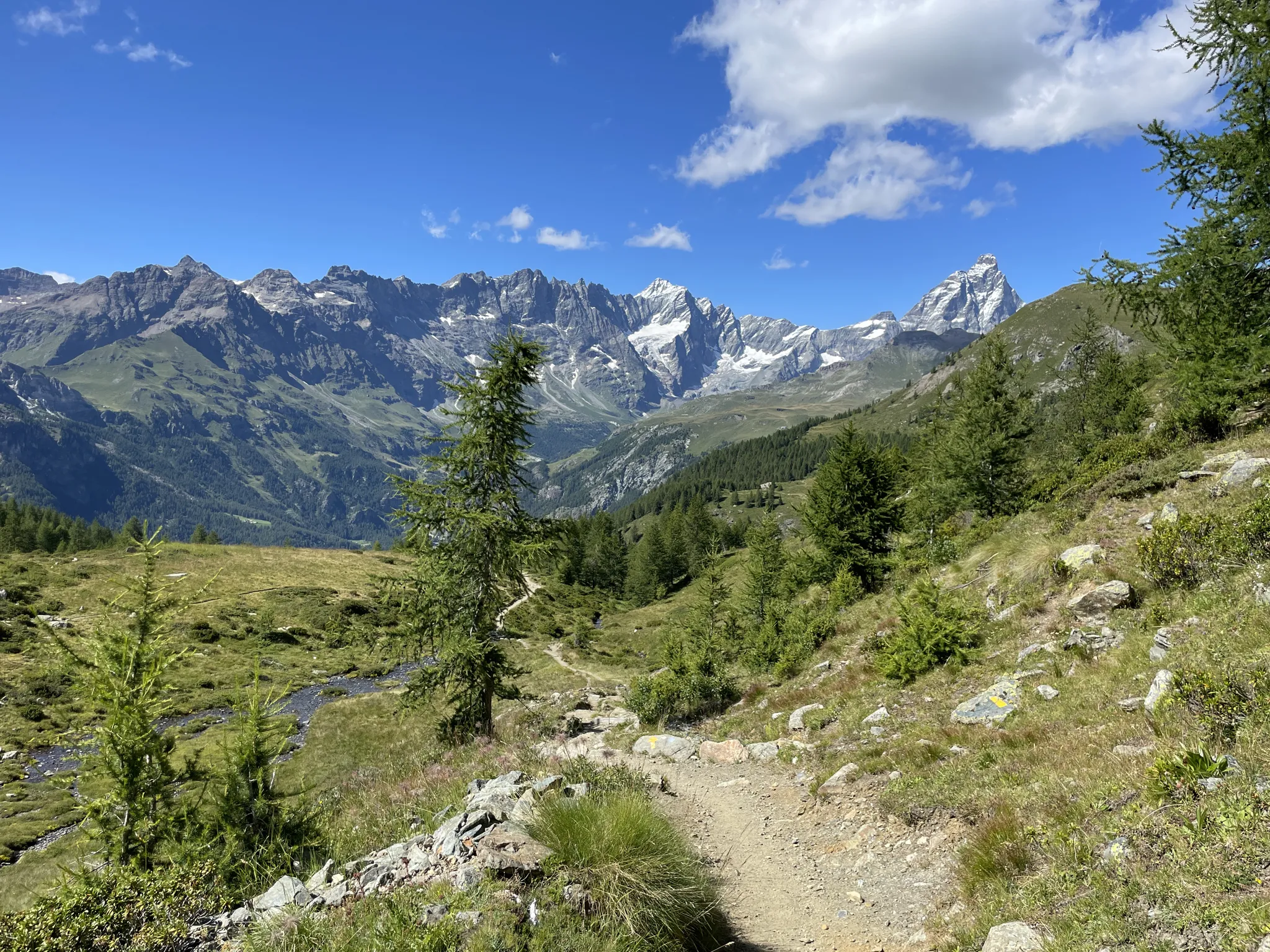
Running with the giants – Alta Via 1 in the Aosta Valley

A walk among Italian giants — Aosta Valley High Route 1
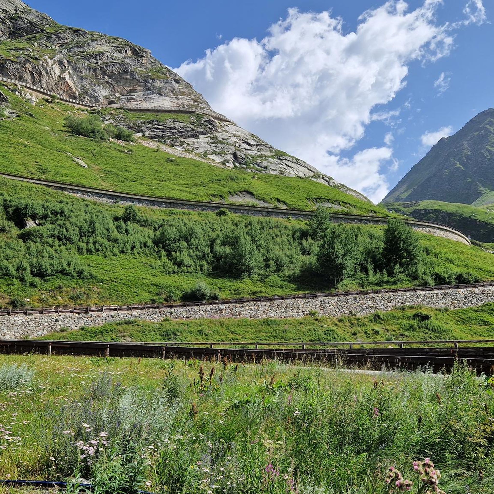
Hiking around Saint-Rhémy-En-Bosses
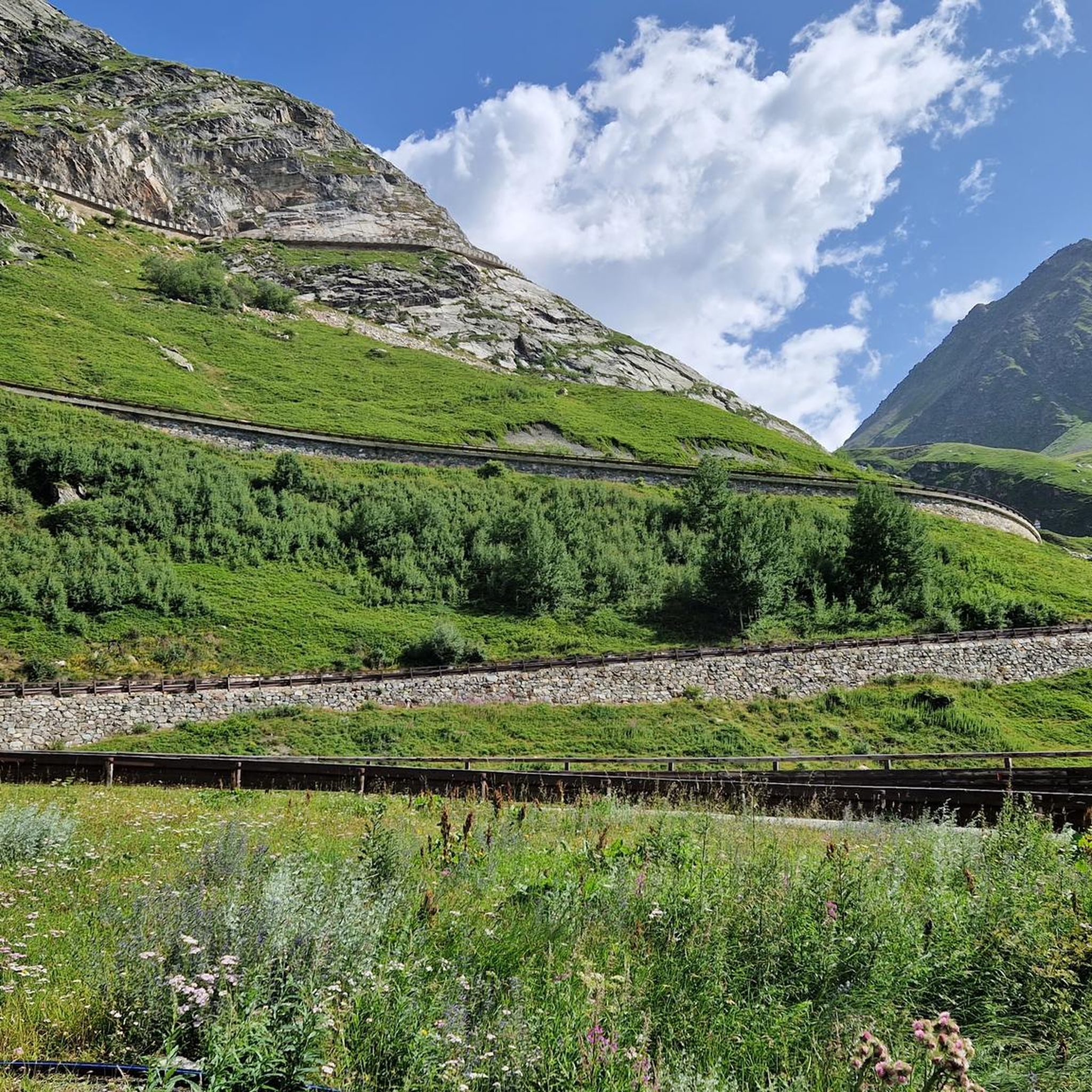
MTB Trails around Saint-Rhémy-En-Bosses
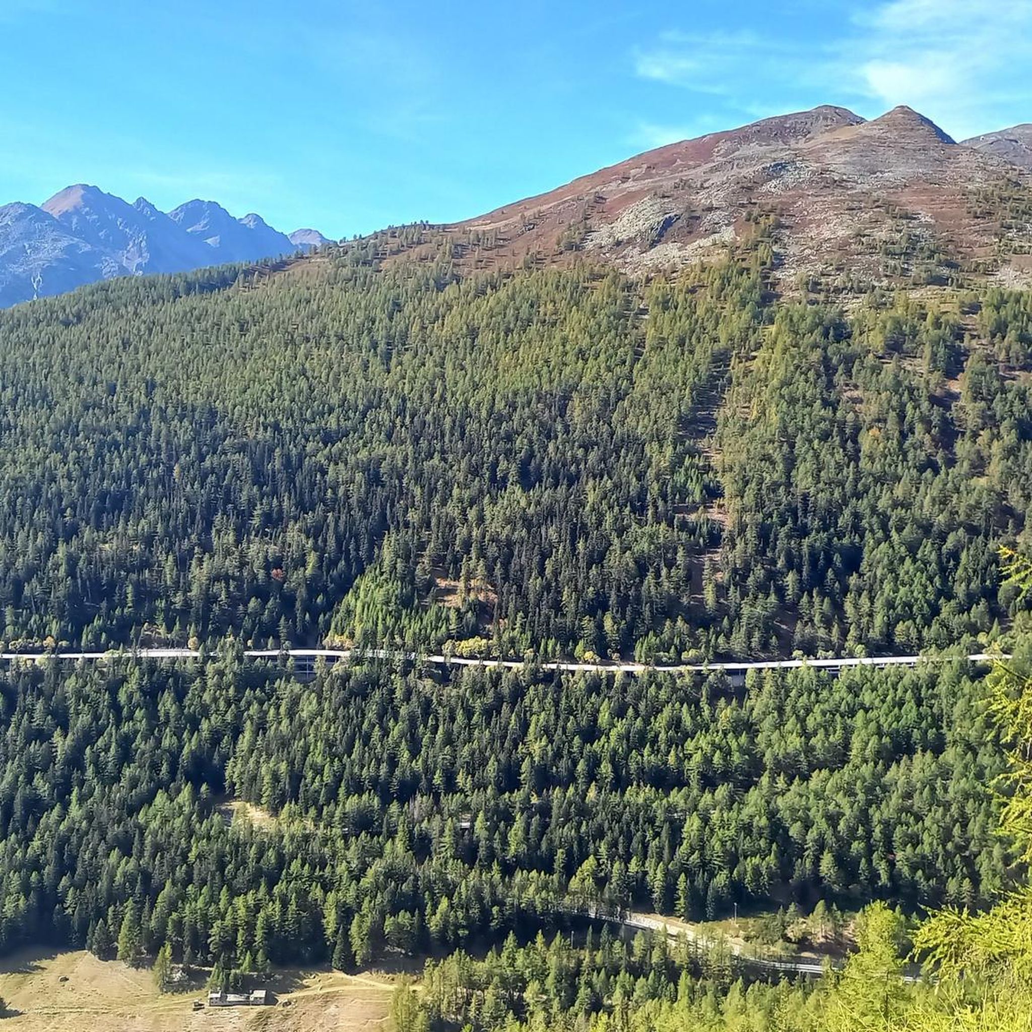
Running Trails around Saint-Rhémy-En-Bosses
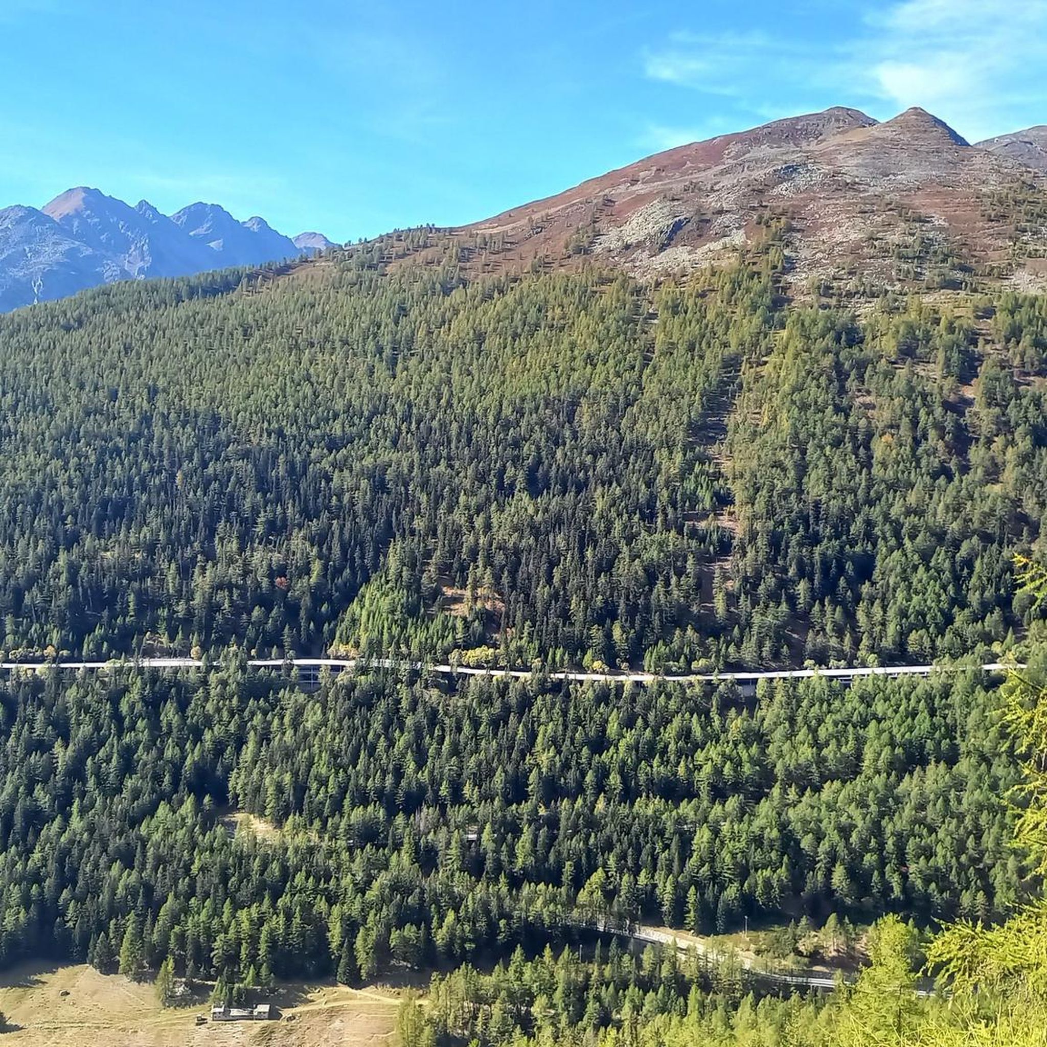
Cycling around Saint-Rhémy-En-Bosses
Mountain Hikes around Saint-Rhémy-En-Bosses
Other adventures around Saint-Rhémy-En-Bosses


Tips from the Community

End of traffic, start of wind gusts
0
0
Stunning landscape, very gusty winds
0
0


A picturesque little village in the Grand Saint-Bernard valley, offering several trails.
0
0

Ancient connecting road that runs halfway up the Aosta plain, already used in pre-Roman and then Roman times to cross the valley. Today it is a quiet secondary road, ideal for cycling away from traffic, among terraced vineyards, small villages and open views of the valley floor.
1
0

Passing under the imposing covered viaduct that leads to the tunnel marks the beginning of the toughest part of the climb: the gradients become more demanding (though never prohibitive), the fatigue accumulated over the previous 20 km takes its toll, and the winds from Switzerland begin to lash you... you're officially in the high mountains, after all, that's why you came here. If the day is one of the worst, with strong winds from the pass, these last 10 km will be a nightmare, but the beauty and majesty of the landscape will more than make up for even the most intense of efforts.
1
0
The highest road pass in the Aosta Valley and a place that has always fascinated the writer for its thousand-year history, the austere Mauritian hospice and the profound beauty of the landscape.
0
0
The climb in the proper sense ends at Planpincieux, from there you proceed on a long slight slope that allows you to enjoy the splendid nature of the valley and the immensity of Mont Blanc, after passing Lavachey, you regain altitude with a couple of hairpin bends and return on a slight slope that leads to Arpnouva where the road ends.
5
0
Frequently Asked Questions
How many road cycling routes are available around Saint-Rhémy-En-Bosses?
There are over 30 road cycling routes in the Saint-Rhémy-En-Bosses region, offering a diverse range of experiences. These include 4 easy routes, 12 moderate routes, and 15 difficult routes, catering to various skill levels.
What is the best time of year for road cycling in Saint-Rhémy-En-Bosses?
The best time for road cycling in Saint-Rhémy-En-Bosses is typically from late spring to early autumn (June to September). During these months, the high mountain passes are usually clear of snow, and the weather is generally more stable and pleasant for cycling through the alpine terrain.
Are there any easy road cycling routes suitable for beginners in Saint-Rhémy-En-Bosses?
Yes, Saint-Rhémy-En-Bosses offers 4 easy road cycling routes. While the region is known for its challenging alpine environment, these routes provide a gentler introduction to the area's beauty. For example, you can find routes with less elevation gain around the valley floors.
What kind of elevation changes can I expect on road cycling routes here?
Road cycling routes in Saint-Rhémy-En-Bosses are characterized by significant elevation changes due to the alpine environment. Many routes involve substantial climbing and descending, often leading to iconic passes like the Great St Bernard. For instance, the Great St Bernard Hospice – Émile Chanoux Square loop from Bourg-Saint-Bernard features over 2,600 meters of ascent.
Are there any circular road cycling routes in the area?
Yes, many of the road cycling routes around Saint-Rhémy-En-Bosses are designed as loops, allowing you to start and finish at the same point. Examples include the challenging Lac des Toules Dam – Great St Bernard Hospice loop from Bourg-Saint-Bernard or the shorter Great St. Bernard Pass – Col du Grand Saint-Bernard loop from Bourg-Saint-Bernard.
What are some scenic viewpoints or attractions along the road cycling routes?
The region offers numerous scenic viewpoints and attractions. Many routes provide stunning views of the alpine landscape and lead to significant landmarks. You might encounter highlights such as the Val Ferret or the Comba of Vertosan. The Great St Bernard Hospice itself is a notable historical and scenic point.
What do other road cyclists say about the routes in Saint-Rhémy-En-Bosses?
The road cycling routes in Saint-Rhémy-En-Bosses are highly regarded by the komoot community, with an average rating of 4.5 stars from over 170 reviews. Cyclists often praise the dramatic alpine scenery, the challenge of the mountain passes, and the well-maintained roads that wind through the valleys.
Are there any family-friendly road cycling options?
While many routes in Saint-Rhémy-En-Bosses are challenging, there are easier options that could be suitable for families with older, experienced children, particularly those with less elevation gain. It's recommended to check the difficulty and elevation profiles of the 4 easy routes to find the most appropriate one for your family.
Where can I find parking for road cycling trails in Saint-Rhémy-En-Bosses?
Parking is generally available in the main villages and starting points of routes, such as Bourg-Saint-Bernard or Étroubles. Specific parking information for each route can often be found on the individual tour pages on komoot, or by checking local signage upon arrival.
What are some of the longer, more challenging road cycling routes?
For experienced cyclists seeking a challenge, routes like the Great St Bernard Hospice – Émile Chanoux Square loop from Bourg-Saint-Bernard, covering 88.6 km with over 2,600 meters of climbing, offer a demanding experience. Another option is the Lac des Toules Dam – Great St Bernard Hospice loop from Bourg-Saint-Bernard, which is 85.2 km long with significant elevation gain.
Are there any unique or 'hidden gem' road cycling routes in the region?
Beyond the well-known passes, exploring some of the less-traveled valley roads can reveal hidden gems. While specific 'hidden gem' routes aren't explicitly listed, the diverse network of 31 routes means there are always opportunities to discover quieter roads and stunning views away from the main thoroughfares. Look for routes that venture into smaller valleys or connect less prominent villages.
Most popular routes around Saint-Rhémy-En-Bosses
Most popular attractions around Saint-Rhémy-En-Bosses

Get inspired with the komoot mobile app


Explore more
Browse the best Road cycling routes in other regions.
