The best walks and hikes around Pollein
4.3
(3319)
20,477
hikers
627
hikes
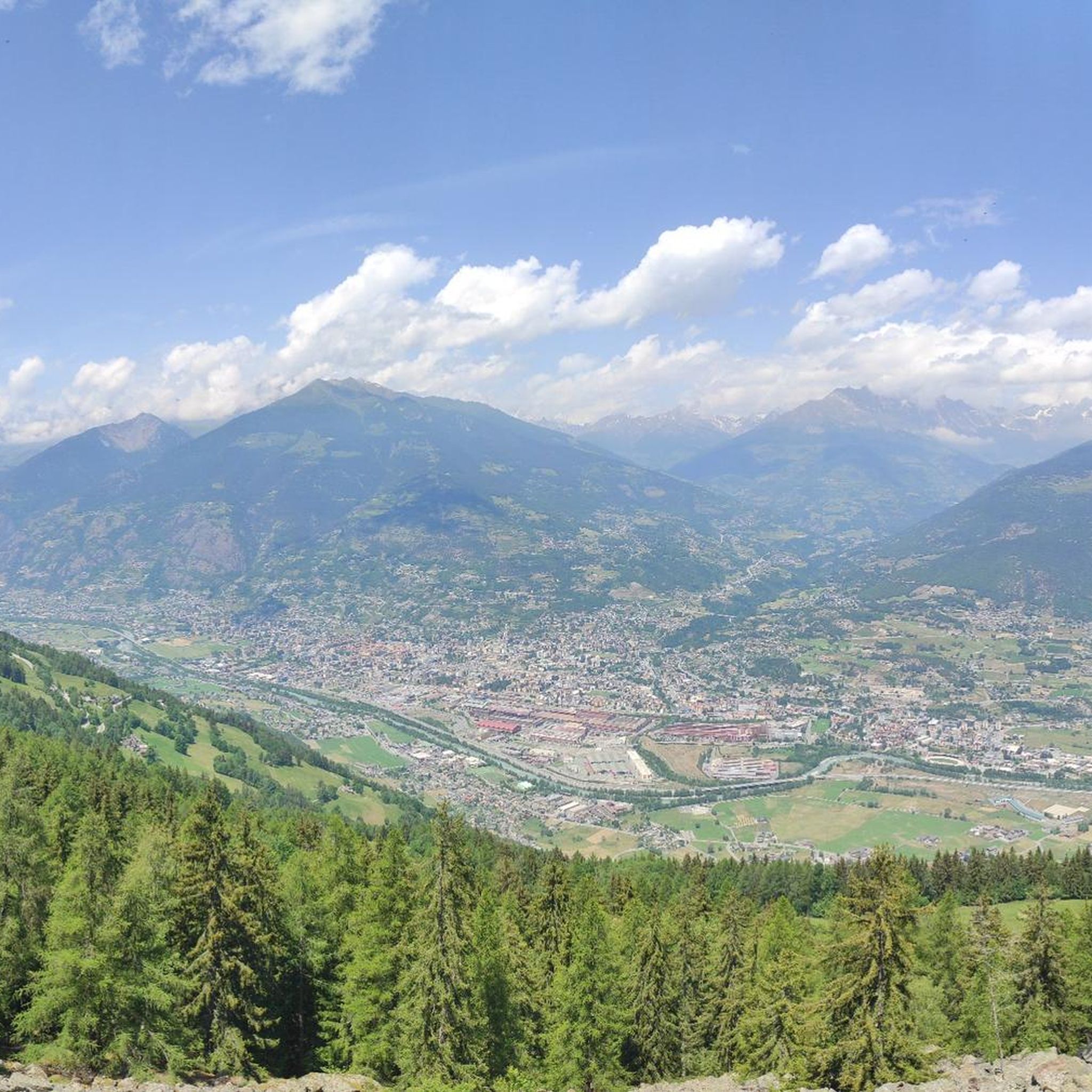
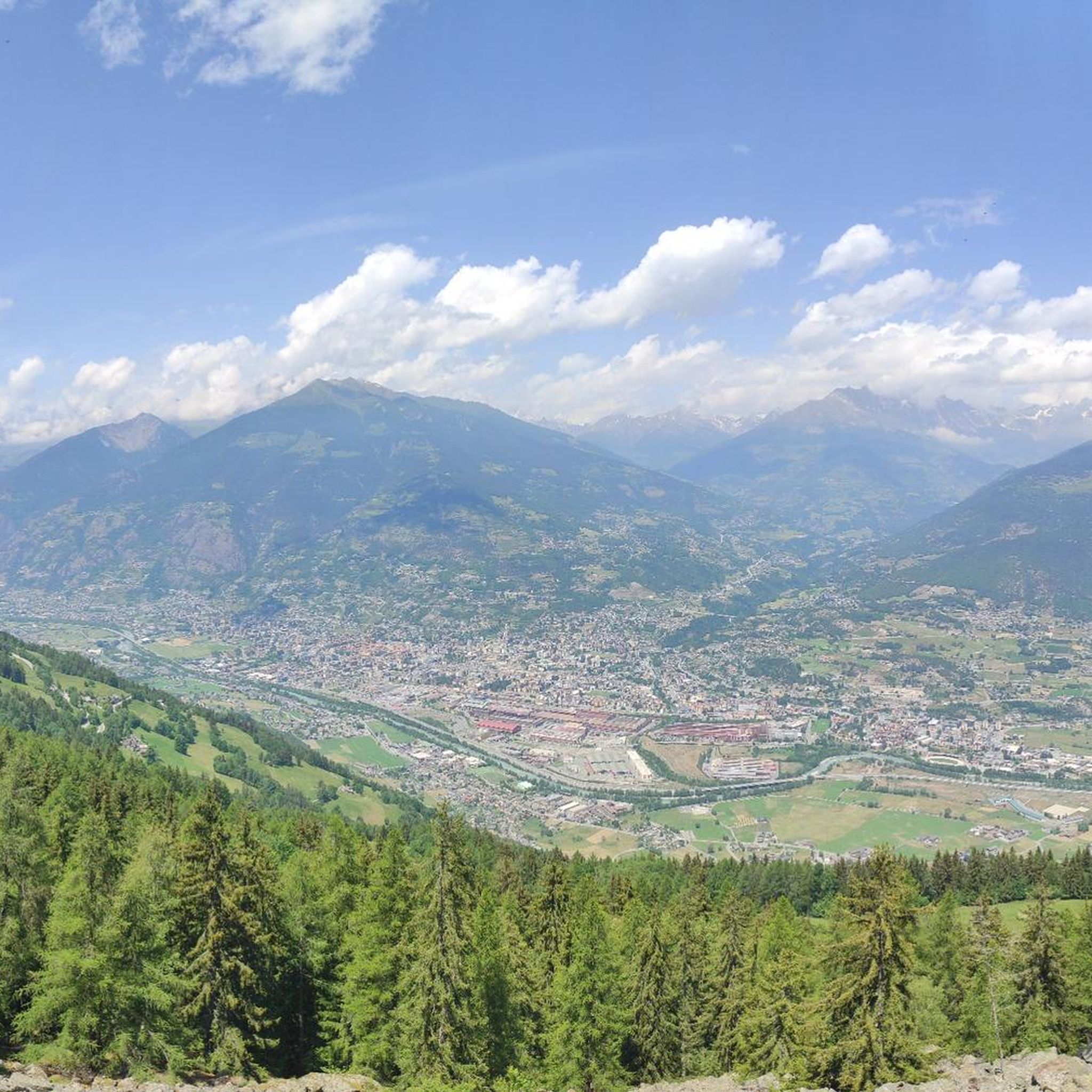
Hiking around Pollein offers diverse landscapes within Italy's Aosta Valley, characterized by impressive alpine scenery, green pastures, and dense pine forests. The region features natural elements such as waterfalls, lakes, and the Dora Baltea river, contributing to varied hiking experiences. Pollein's location provides access to trails that traverse different ecosystems, from valley floors to higher elevations. This area is known for its rich natural heritage, supporting various plant and animal species.
Best hiking trails around Pollein
- The most popular hiking…
Last updated: September 27, 2026
4.8
(8)
70
hikers
14.9km
07:41
1,500m
1,500m
This difficult 9.2-mile hike to the Laures Lakes from Grand Brissogne features alpine scenery, waterfalls, and significant elevation gain.
5.0
(1)
4
hikers
14.3km
06:22
1,380m
1,380m
Hike the difficult 8.9-mile CAI Route 1 from Pollein to Alpe Plan Croix, gaining 4544 feet to historic alpine ruins.

4.0
(2)
11
hikers
9.07km
03:56
800m
800m
Moderate hike. Good fitness required. Mostly accessible paths. Sure-footedness required.
5.0
(1)
17
hikers
11.1km
02:56
110m
110m
Moderate hike. Good fitness required. Easily-accessible paths. Suitable for all skill levels.
4.0
(2)
6
hikers
5km
01:36
210m
210m
Moderate hike. Great for any fitness level. Mostly accessible paths. Sure-footedness required.
Get access to more routes and recommendations from other explorers.
Already have an account?
Our route recommendations are based on thousands of hikes, rides, and runs completed by other people on komoot.
Start today with a free account
Your next adventure awaits.

Tips from the Community

Also known as Lac d'en bas, this splendid mountain lake at 2,549 meters is the first and largest of the lakes encountered when ascending the valley. The reflection of the sun on its vast silvery surface, enclosed by a crown of rugged rock faces, offers a grandiose and wild spectacle. Walking along its grassy banks, a short distance from the Menabreaz bivouac, provides a deep sense of alpine isolation and represents the perfect reward for the long and demanding hike to get here and beyond.
0
0
Located at an altitude of 2,545 meters, this historic bivouac stands in a splendid and remote alpine basin right on the shores of the suggestive lake Les Laures. The presence of the characteristic wooden fountain, the outdoor tables, and the body of water surrounded by rugged rock faces makes this spot one of the most rewarding and exciting stops on the entire hike. A corner of authentic mountain solitude, perfect for recharging your energy and enjoying the close-up contrast between green meadows and severe peaks reflected in the lake.
0
0

I confirm that the trail is closed as the landowner has put up a gate guarded by a very menacing dog, which can actually easily get out of the enclosure because the part facing the woods has gaps well known to the dog. A report has been made to the local police of Quart regarding the dog's dangerousness.
0
0

The path is still marked as a hiking trail. The owner of... put up a fence around the house and let an aggressive dog 🐕 run free. The path is now also marked as private on the other side.
3
0

Quart Castle is currently (January 2025) undergoing conservation work. The work should be completed by summer 2025.
0
0

Travelling along the Via Francigena from Aosta to Nus, just before Quart you come across this Castle built on a hill, an enchanting and solitary place.
0
0

The Cammino Balteo route presents a deviation (common to the Via Francigena): due to a collapse of some boulders on the path, the normal path of the Via Francigena is diverted (the dirt road which from Quart castle proceeds towards Verney is not passable , then you need to go up in the direction of Beato Emerico and then go back down and resume the regular route of the stage).
1
0
Frequently Asked Questions
How many hiking trails are available around Pollein?
Pollein offers a wide variety of hiking options, with over 590 routes documented on komoot. These range from easy strolls to challenging alpine treks, catering to all fitness levels.
What kind of terrain can I expect on hikes around Pollein?
The terrain around Pollein is incredibly diverse, characterized by impressive alpine scenery, green pastures, and dense pine forests. You'll find trails traversing valley floors, mid-altitude slopes, and higher elevations, often featuring natural elements like waterfalls, lakes, and the Dora Baltea river.
Are there easy hiking trails suitable for beginners or families in Pollein?
Yes, Pollein has numerous easy paths suitable for any fitness level, typically up to 2 hours in duration and with less than 1,000 feet of elevation gain. For example, the Roman Bridge – Arch of Augustus (Aosta) loop from Aosta is an easy 1.9-mile trail that explores urban and historical landscapes.
Can I find trails with waterfalls near Pollein?
Absolutely. The region around Pollein is known for its beautiful water bodies. You can explore highlights such as the Lillaz Waterfalls or the Comboé Stream Waterfall, which add to the scenic beauty of the trails.
What are some notable landmarks or viewpoints I can discover on hikes?
Hiking around Pollein offers opportunities to see various landmarks and enjoy stunning views. You might encounter historic alpine ruins on some challenging routes. For panoramic vistas, consider visiting viewpoints like Punta Replan or the Monte Emilius Summit and Statue.
Are there any circular hiking routes available in Pollein?
Yes, there are several circular routes. For instance, the Cross and View of Aosta loop from Aosta Valley is a moderate 5.6-mile circular hike offering great views.
What is the best time of year to go hiking in Pollein?
Pollein and the Aosta Valley offer hiking opportunities for much of the year. The mid-altitude slopes, part of the longer Cammino Balteo itinerary, are accessible for most of the year. For higher alpine routes, late spring through early autumn typically provides the best conditions, avoiding heavy snow.
What do other hikers enjoy most about hiking in Pollein?
The hiking routes in Pollein are highly rated by the komoot community, with an average score of 4.4 stars from over 2,800 reviews. Hikers often praise the impressive alpine scenery, the diverse landscapes, and the variety of trails suitable for different skill levels.
Are there any long-distance or historical trails passing through Pollein?
Yes, Pollein is part of the longer "Cammino Balteo" itinerary, which winds through the valley floor and mid-altitude slopes. The ancient pilgrimage route, Via Francigena, also crosses the Aosta Valley, offering historical and cultural hiking experiences.
Are there options for more challenging hikes with significant elevation gain?
Absolutely. Pollein offers very difficult routes requiring excellent fitness, sure-footedness, sturdy shoes, and alpine experience, often involving more than 5 hours of hiking or over 3,000 feet of elevation gain. These trails lead to higher elevations and offer substantial climbing.
Is public transportation available to reach hiking trailheads near Pollein?
While specific public transport details for every trailhead are not provided, Pollein's location within the Aosta Valley means that regional bus services often connect towns and villages, which may provide access to certain trail starting points. It's advisable to check local transport schedules for specific routes.
What kind of wildlife might I encounter while hiking in Pollein?
The broader Aosta Valley region, including areas around Pollein, boasts a rich biodiversity. In higher elevations, you might spot various plant and animal species, including ibex, chamois, and marmots, offering opportunities for wildlife observation.
Most popular routes around Pollein
Most popular attractions around Pollein

Get inspired with the komoot mobile app


Explore more
Browse the best Hikes in other regions.
