Top 16 Mountain Passes around Charvensod
Best mountain passes around Charvensod are found within the Aosta Valley, offering access to high-altitude locations. These passes are accessible via hiking and mountain biking trails. The region provides diverse terrain, from pine forests to high alpine meadows. Many routes offer views of surrounding peaks and opportunities to observe local wildlife.
Best mountain passes around Charvensod
- The most popular mountain pass is Passo Invergneux, a mountain pass known for mountain biking and hiking. This pass offers a high-mountain experience…
Last updated: July 10, 2026
Passo Invergneux
Highlight • Mountain Pass
Translated by Google •
Tip by

Invergneux Pass Descent
Highlight (Segment) • Trail
Translated by Google •
Tip by

Sign up now to discover places like this
Get recommendations on the best single tracks, peaks, & plenty of other exciting outdoor places.
Sign up for free
Ascent of the Banzai Trail — Cogne
Highlight (Segment) • Trail
At the end the whole thing flows into an approx. 2km narrow mountain path to the …
Translated by Google •
Tip by

Le Pont (1920 m) – Gran Paradiso National Park
Highlight (Segment) • Mountain Pass
Translated by Google •
Tip by

Colle Tsa Seche
Highlight • Mountain Pass
Translated by Google •
Tip by

Sign up for free to discover even more mountain passes around Charvensod.
Sign up for free
Already have an account?
Start today with a free account
Your next adventure awaits.
Login or Signup
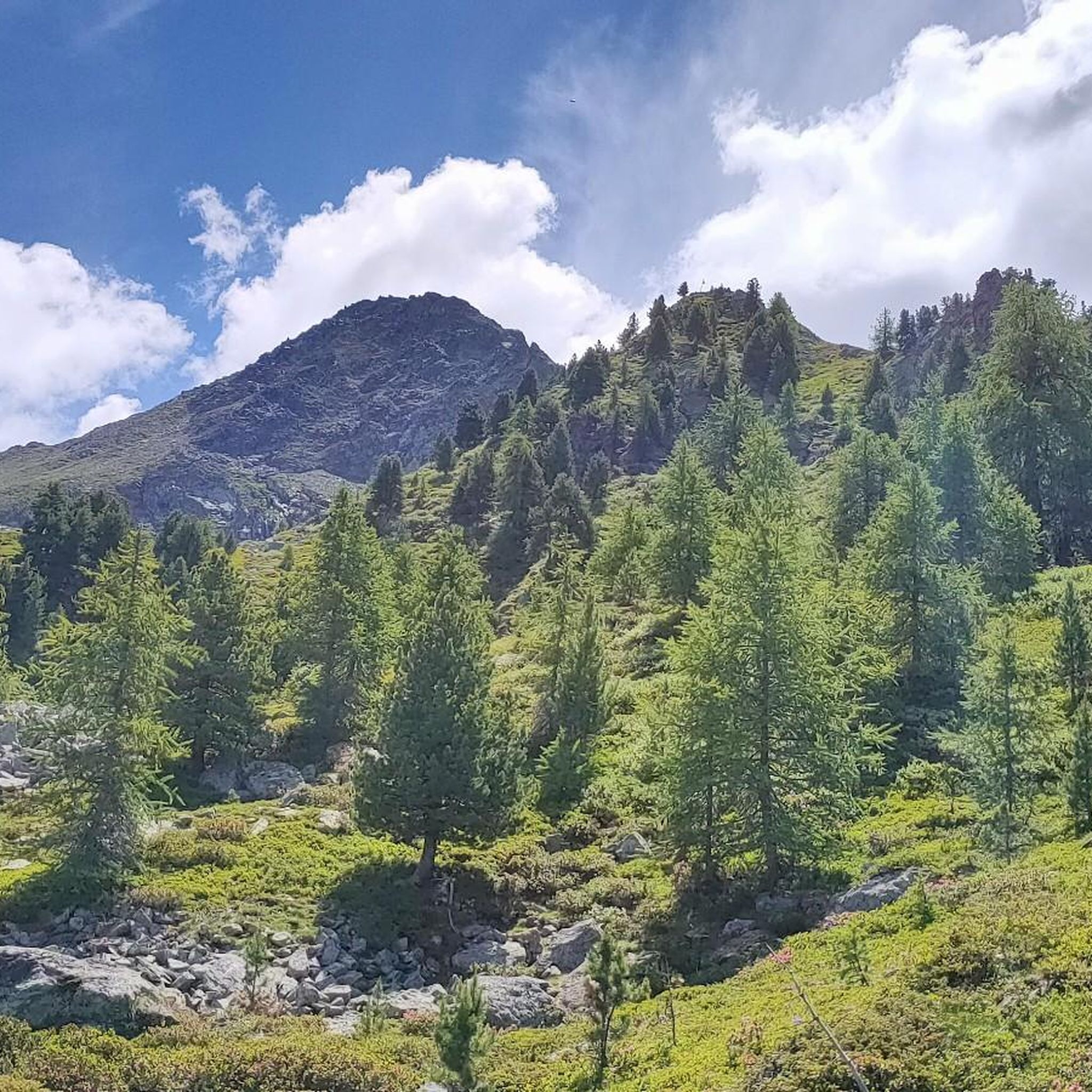
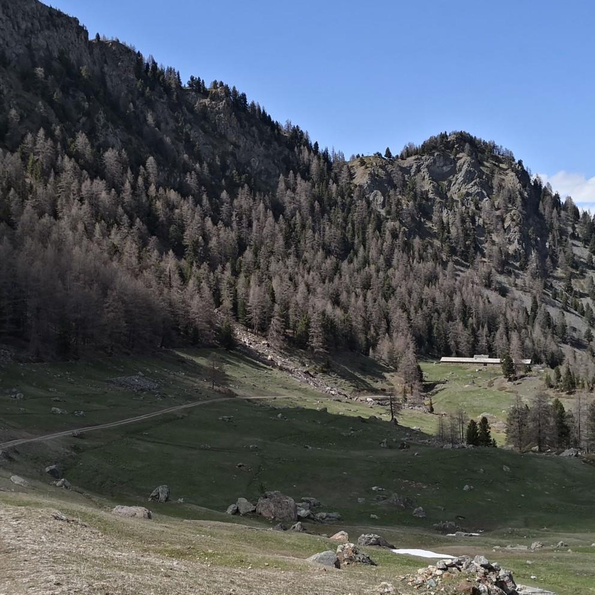

Other adventures around Charvensod

Tips from the Community

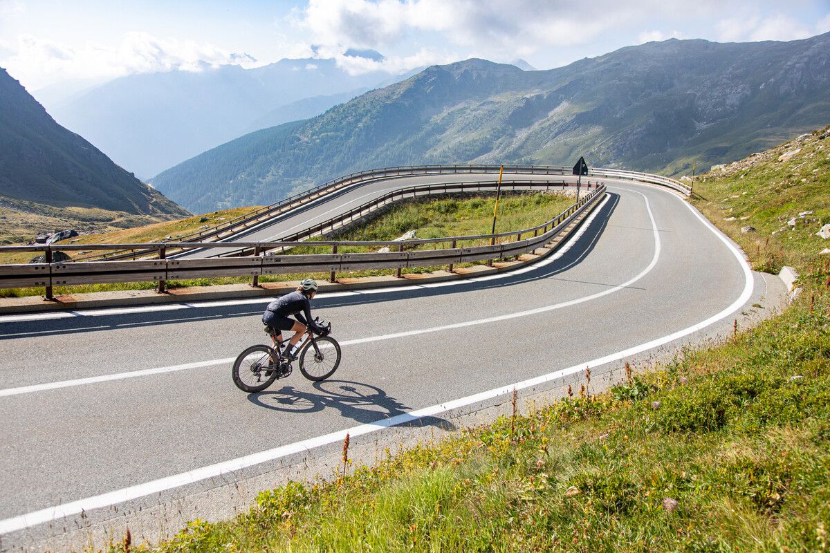
The climb winds through a majestic valley (personally my favorite), never reaching excessive gradients; it's long but pedalable, allowing you to fully enjoy the natural surroundings. Apart from the peak season, there's almost no traffic, although you might encounter a few campers, which can be annoying on the way down. If you tackle the climb during periods of the year when there aren't too many tourists, you might, like me, have pleasant encounters with ibex and chamois that have come down to road level.
1
0

https://youtu.be/KdsaBL0twzY?si=-LI75WFE57aHMvCE Very well described by meckomat: first gravel, then 2km of singletrack, sometimes flat, sometimes steeper, the last 300m of elevation gain can only be achieved by pushing at least.
0
0
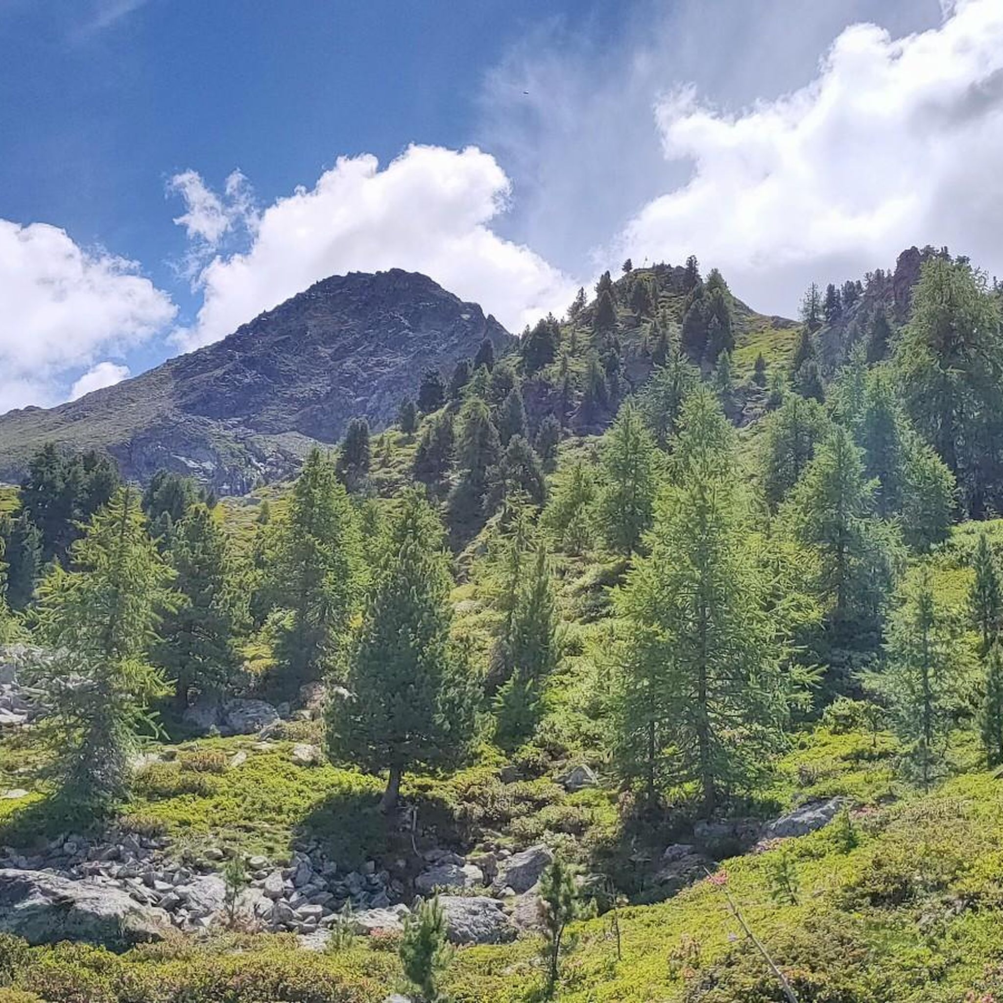
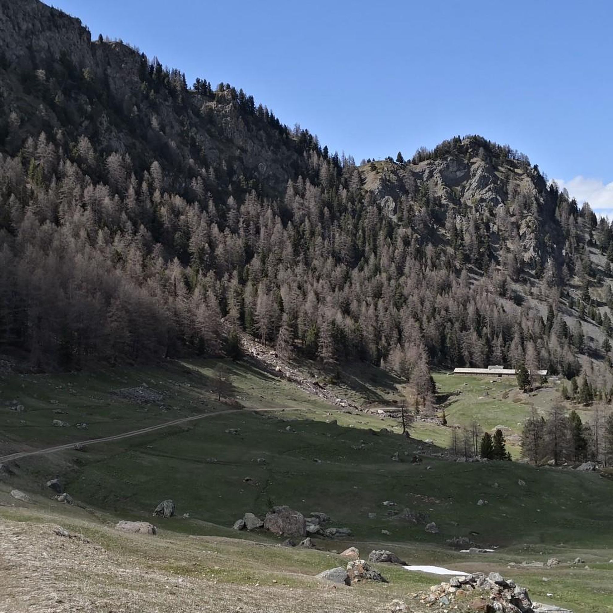
https://youtu.be/KdsaBL0twzY?si=-LI75WFE57aHMvCE It's not very difficult to reach, but you'll have to push the last few meters. The descent is easy. The landscape doesn't feel high alpine, but since it's all green, rolling hills, it's like being in Scotland or Ireland.
0
0
Looks quite unspectacular in pictures, but the landscape has a special charm. The ascent is quite easy up to approx. 300 altitude meters on gravel paths to the pass, from there you have to go up on a singletrail. Pushing is necessary for the last few meters. The descent is also manageable for less ambitious riders, mostly gentle green slopes. More for enjoying than for a hardcore descent. For me, there was fog and rain and I felt like I was in Ireland.
0
2
https://youtu.be/Pxndx9TNM5U?si=mH5XT38nxmCVjLSr Push, lift, and drag until you're over it, then you have a beautiful descent to Cogne.
0
0

A spectacular trail in terms of scenery. However, there are some (very) technical passages. This includes the upper part, which is usually described as flowing and easy. After about half of it, it gets increasingly rough, with high steps. On Trailforks, someone classifies it as black, which sums it up quite well.
0
0

The push is definitely worth it! Start driving straight from the top of the pass!
0
0

The waterfalls encountered during the climb are very characteristic
0
0
Frequently Asked Questions
What are some challenging mountain passes near Charvensod?
For those seeking a challenge, Passo Invergneux is a demanding route known for both mountain biking and hiking, located at 2,908 meters. Another strenuous option is Colle Tsa Seche, situated at 2,820 meters, which requires good fitness and sure-footedness. The Portage towards Passo dell’Invergneux also presents a challenging ascent with varied terrain.
What kind of panoramic views can I expect from the mountain passes around Charvensod?
The mountain passes near Charvensod offer spectacular panoramic views of the Alps. From Colle Tsa Seche, you can see Mont Blanc, Grandes Jorasses, Grand Combin de Grafeneire, and the Gran Paradiso mountain range. Punta Replan, a high-altitude viewpoint, provides incredible vistas of numerous 4,000-meter peaks, including Mont Blanc and Monte Rosa, complete with orientation boards to help identify them. Passo Invergneux also offers breathtaking views of the surrounding rock giants within the Gran Paradiso National Park.
Are there any mountain passes with historical significance in the Charvensod area?
Yes, Passo Invergneux holds historical significance as an ancient connecting point between valleys. It was used by shepherds and merchants for centuries, adding a layer of historical context to its natural beauty.
What wildlife might I encounter on the mountain passes near Charvensod?
The high-alpine environment around Charvensod's mountain passes is home to various wildlife. On trails leading to Colle Tsa Seche, you might observe marmots and golden eagles. The wild nature of Passo Invergneux also offers opportunities to encounter local fauna like marmots. Additionally, on less touristy routes like the climb towards Le Pont in Gran Paradiso National Park, you might have pleasant encounters with ibex and chamois.
What is the best time of year to visit the mountain passes around Charvensod?
The best time to visit the mountain passes around Charvensod for hiking and mountain biking is generally during the warmer months, from late spring to early autumn, when trails are clear of snow and weather conditions are more stable. This allows for full access to the high-altitude routes and optimal enjoyment of the panoramic views. Winter conditions can make many passes inaccessible or require specialized equipment and experience.
Are there options for mountain biking on the passes near Charvensod?
Absolutely. Passo Invergneux is primarily known for mountain biking, offering a challenging route with varied terrain, including technical singletracks. The descent from this pass towards the Pila mountain pasture is particularly demanding and recommended for advanced bikers. Punta Replan is also accessible via mountain biking routes from areas like Pila and Gressan. The Portage towards Passo dell’Invergneux also features sections suitable for biking.
What are the difficulty levels of hiking trails leading to mountain passes near Charvensod?
The hiking trails to mountain passes near Charvensod range from intermediate to challenging. Routes like the one to Colle Tsa Seche are strenuous, involving significant elevation gain and requiring good fitness. Passo Invergneux also presents a challenging ascent. Many trails involve steep sections, uneven surfaces, and exposed parts, so hikers should be prepared for demanding conditions.
Where can I find hiking routes near the mountain passes of Charvensod?
You can find numerous hiking routes in the vicinity of Charvensod's mountain passes. For example, the Hiking around Charvensod guide features trails like the Monte Emilius Summit Trail from Rifugio Arbolle and the Punta Replan and Lake Chamolé Loop. For more challenging mountain hikes, consult the Mountain Hikes around Charvensod guide, which includes routes like the Punta della Valletta loop from Pila.
Are there any circular walks that include mountain passes around Charvensod?
While specific circular routes directly over the highest passes might be challenging, many trails offer loop options that incorporate viewpoints and high-altitude areas. For instance, the Punta Replan and Lake Chamolé Loop is a moderate circular hike that takes you to a significant high-altitude destination with expansive views. You can explore more options in the Hiking around Charvensod guide.
What do visitors particularly enjoy about the mountain passes in Charvensod?
Visitors frequently praise the stunning natural beauty and the sense of accomplishment. Many describe the views from passes like Passo Invergneux as 'breathtaking' and 'like being in Paradise.' The diverse terrain, from pine forests to high alpine meadows, and the opportunities to encounter wildlife are also highly appreciated. The challenging nature of some routes is a draw for experienced adventurers, who find the effort well worth the reward.
Are there any family-friendly viewpoints or less strenuous high-altitude spots near Charvensod?
While many passes are challenging, Punta Replan (Col Replan viewing point) offers a significant high-altitude destination at 2,458 meters with expansive views. It's accessible via hiking and mountain biking routes, and while some sections can be steep, it's a rewarding spot for families seeking grand vistas without necessarily tackling the most extreme passes. The presence of orientation boards also enhances the experience for all ages.
Can I find gravel biking routes near Charvensod's mountain passes?
Yes, there are gravel biking opportunities in the wider Charvensod area. The Gravel biking around Charvensod guide offers routes such as the Descent from Pila to Aosta, which provides a different perspective of the region's terrain. While not directly on the highest passes, these routes can complement a visit to the mountain pass areas.
Most popular routes around Charvensod
Most popular attractions around Charvensod

Get inspired with the komoot mobile app


Explore more
See even more epic mountain passes by checking out these guides around Charvensod:
