The best walks and hikes around Fiolinas/Florinas
4.6
(25)
177
hikers
21
hikes
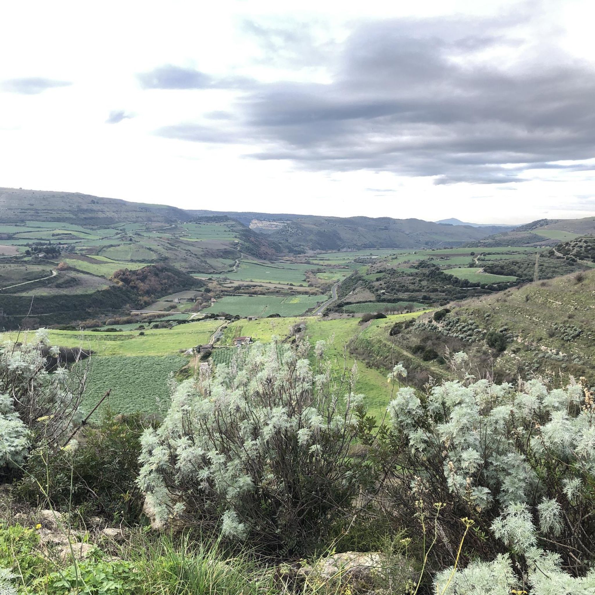
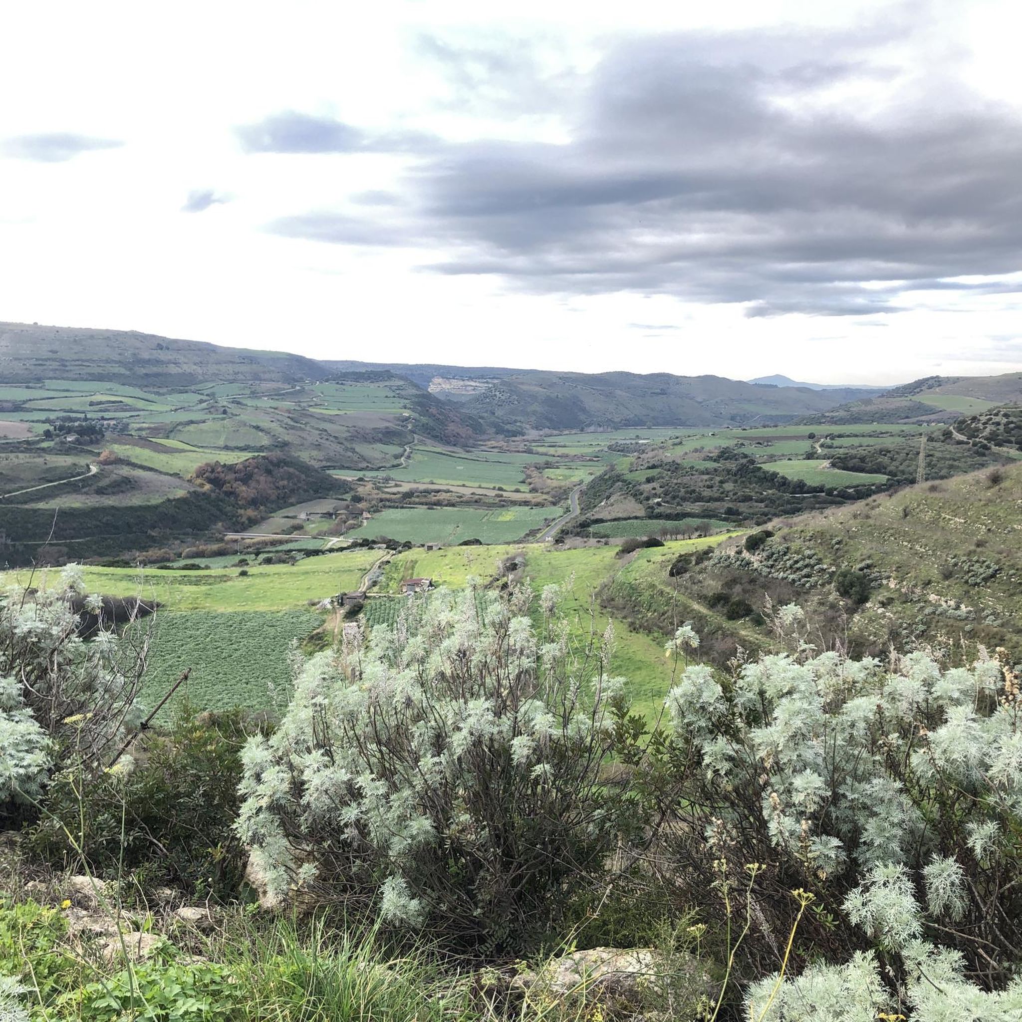
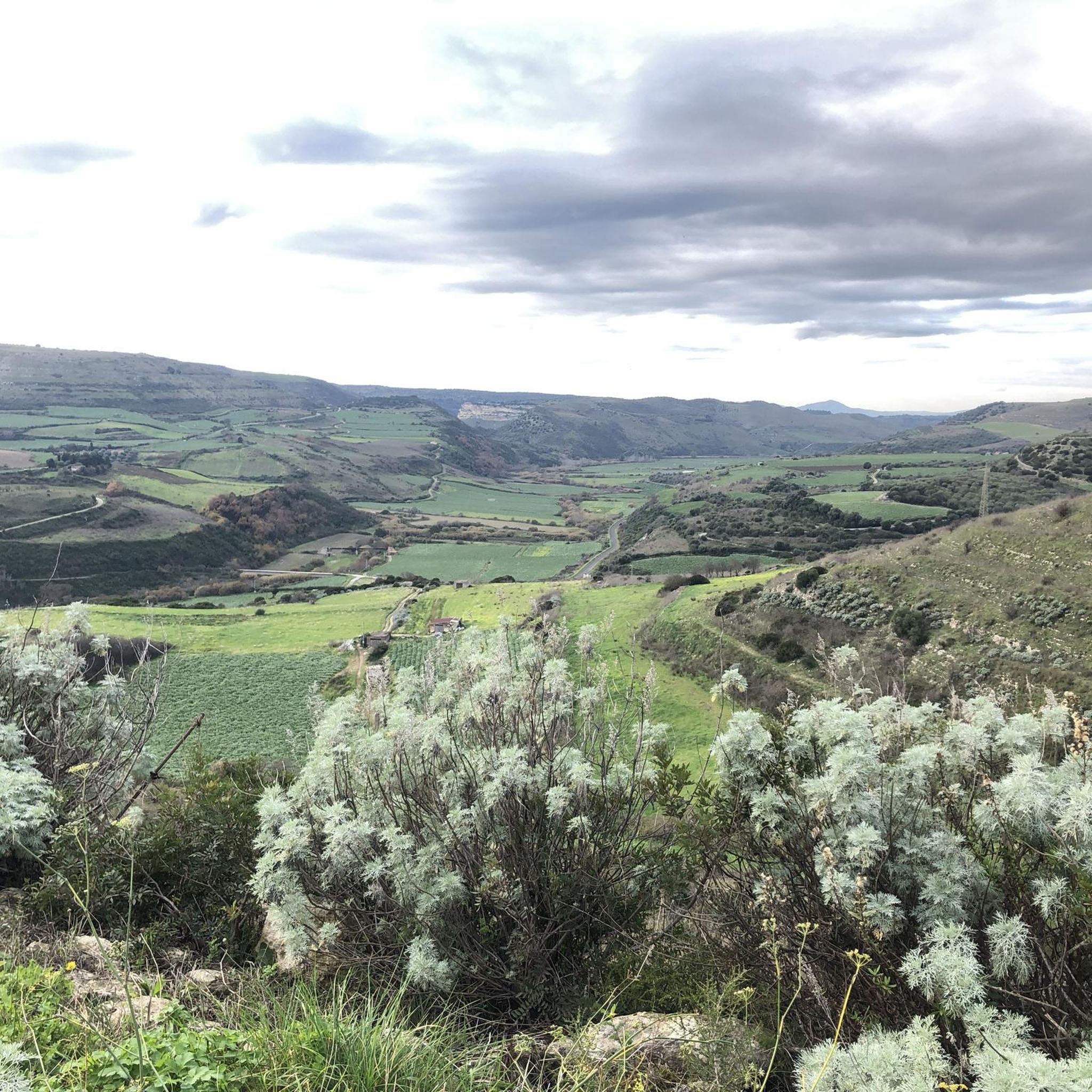
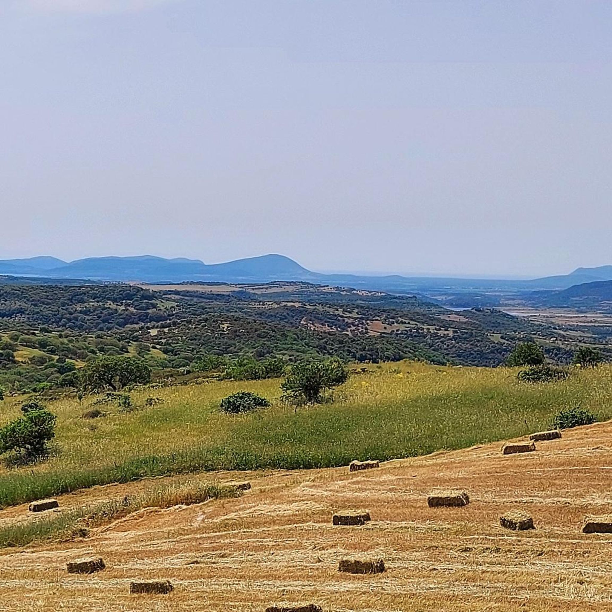
Hiking around Fiolinas/Florinas offers diverse landscapes, characterized by hills and natural springs. The region features varied terrain, including paths around extinct volcanoes and elevated points like Monte Santo. These areas provide opportunities for exploring both gentle slopes and more challenging ascents. The trails in Fiolinas/Florinas showcase the natural beauty of the area.
Best hiking trails around Fiolinas/Florinas
- The most popular hiking route is The extinct volcanoes of the Meilogu, a 3.5 miles (5.6 km) trail that takes 1 hour…
Last updated: November 8, 2026
3.0
(2)
7
hikers
5.65km
01:36
120m
120m
Easy hike. Easily walkable paths.
4.6
(5)
24
hikers
6.51km
01:53
170m
160m
Easy hike. Easily walkable paths.

4.5
(2)
16
hikers
4.80km
01:55
380m
380m
Moderate hike. Good fitness required. Easily walkable paths.
5.0
(2)
8
hikers
Moderate hike. Good fitness required. Easily walkable paths.
5.0
(2)
11
hikers
4.40km
01:13
80m
80m
Easy hike. Easily walkable paths.
Get access to more routes and recommendations from other explorers.
Already have an account?
Our route recommendations are based on thousands of hikes, rides, and runs completed by other people on komoot.
Start today with a free account
Your next adventure awaits.
Tips from the Community

An adventurous approach, barking dogs, thorny undergrowth. The dolmens were great, but unfortunately the hiking trail was not well maintained, so we turned back with our son.
0
0

The caves are accessible from the road across a meadow. However, there are no paths, despite other claims to the contrary. We didn't find one, and the thistles and thorns make hiking less enjoyable. The area and the view are, of course, wonderful.
0
0

The church of Saints Elias and Enoch, located on the mesa of Monte Santo, dates back to the Byzantine era (6th-9th century AD) and reflects the traditions of Greek monasticism. Originally, it was a place of worship for hermit monks who lived in cells dug into the mountain. In 1065, the church became the first Benedictine monastery on the island.
1
0
Monte Santo (Monte Santu or Monte Sant'Elies in Sardinian) is an isolated mountain and mesa in Logudoro, with an altitude of 733 meters. During the climb, lithological changes are observed, passing from carbonate rocks to basaltic ones around 650 meters. On the summit, located on the south-western lip, you can enjoy a vast panorama, especially at the summit cross.
1
0
With its unmistakable profile, Monte Santo is an icon of Meilogu, the name of this enchanted corner of Sardinia. Born from ancient volcanic eruptions, this mountain rises among vast green fields, offering breathtaking views.
1
0
The path passes through the Domus de Janas of S'Ena de Cannuja, ancient pre-Nuragic tombs carved into the rock, dating back to the 3rd millennium BC. This necropolis includes six tombs dug into a trachytic ridge. The tombs were presumably reached using carvings dug into the rock face similar to those still preserved in the Domus de Janas Sos Furrighesos necropolis in Anela.
1
0
At the top of Mount Torru there is a vast amphitheater which houses the majestic Torru nuraghe, dominating the entire peak. The nuraghe, a typical megalithic building of ancient Sardinia, was developed during the Nuragic age between 1900 and 730 BC. This structure, built with blocks of soft trachyte, rests directly on the rock which acts as a natural bastion. The view from here is wide and breathtaking.
1
0
The views from the top of Sea Lepere are spectacular. From here, the view opens onto the characteristic relief of Monte Torru. The steep rock faces stand out beautifully against the bright green vegetation.
1
0
Frequently Asked Questions
How many hiking trails are available around Fiolinas/Florinas?
There are over 15 hiking routes in the Fiolinas/Florinas region, offering a variety of experiences for different skill levels. You'll find 9 easy trails and 7 moderate options to explore.
Are there easy hiking trails suitable for beginners in Fiolinas/Florinas?
Yes, Fiolinas/Florinas offers several easy hiking trails perfect for beginners. For example, the The extinct volcanoes of the Meilogu route is an easy 3.5-mile path that explores a unique volcanic landscape.
What kind of terrain can I expect on hikes in Fiolinas/Florinas?
The region is characterized by diverse terrain, including rolling hills, natural springs, and paths exploring ancient volcanic features. You'll encounter both gentle slopes and more challenging ascents, with many trails showcasing the area's natural beauty.
Are there any moderate hiking options for those looking for a bit more challenge?
Yes, there are 7 moderate trails available. One notable option is Discovering Monte Santo, a 3.0-mile trail that leads through varied terrain and offers a good workout.
Can I find circular hiking routes in the Fiolinas/Florinas area?
Yes, several routes in the region are designed as loops. For instance, the Natural Spring loop from Stadio Vanni Sanna is an easy circular hike that allows you to return to your starting point without retracing your steps.
What are some interesting natural attractions to see while hiking in Fiolinas/Florinas?
The region is rich in natural monuments. You can explore fascinating sites like the Domus de Janas di S’Ena de Cannuja, ancient caves and rock formations, and even a significant Natural Spring.
Are there any historical sites or landmarks near the hiking trails?
Absolutely. Beyond natural beauty, you can discover historical sites such as the Noeddale Necropolis, Ossi, and the Necropolis of Mesu ‘e Montes. In nearby Sassari, you'll find the Castle Square and the Ducal Palace of Sassari.
What do other hikers say about the trails in Fiolinas/Florinas?
The trails in Fiolinas/Florinas are highly rated by the komoot community, with an average score of 4.3 stars from over 8 reviews. Hikers often praise the varied terrain and the unique landscapes, especially those shaped by ancient volcanic activity.
Are there any trails that offer views of specific landmarks?
Yes, for scenic views, consider the Walk from Osilo to Monte Tuffusedu and back. This easy path provides excellent views of Monte Tuffusedu and the surrounding areas.
Are there any hikes that feature natural springs?
Yes, the region is known for its natural springs. You can enjoy a hike like the Natural Spring loop from Monte Bianchino, which incorporates these refreshing natural features into its route.
What is the best time of year to go hiking in Fiolinas/Florinas?
While specific seasonal data isn't provided, regions with volcanic landscapes and natural springs like Fiolinas/Florinas are generally pleasant for hiking in spring and autumn, when temperatures are milder. Summer can be warm, and winter might bring cooler, potentially wetter conditions.
Most popular attractions around Fiolinas/Florinas

Get inspired with the komoot mobile app


Explore more
Browse the best Hikes in other regions.
