The best walks and hikes around S'Ulumedu/Olmedo
4.4
(188)
2,296
hikers
57
hikes
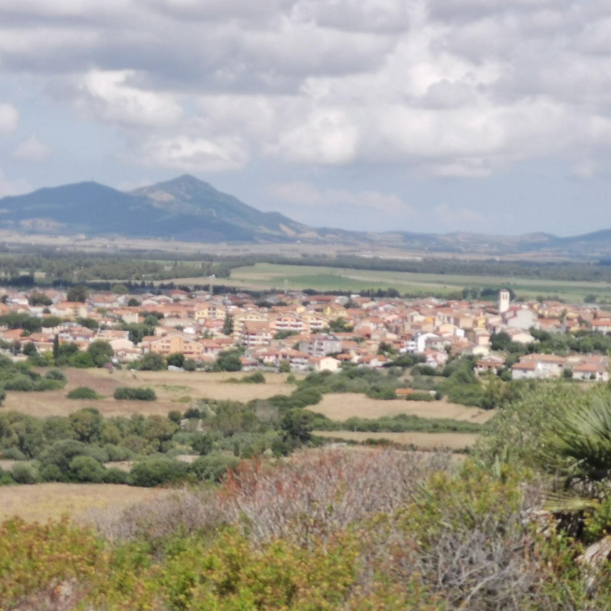
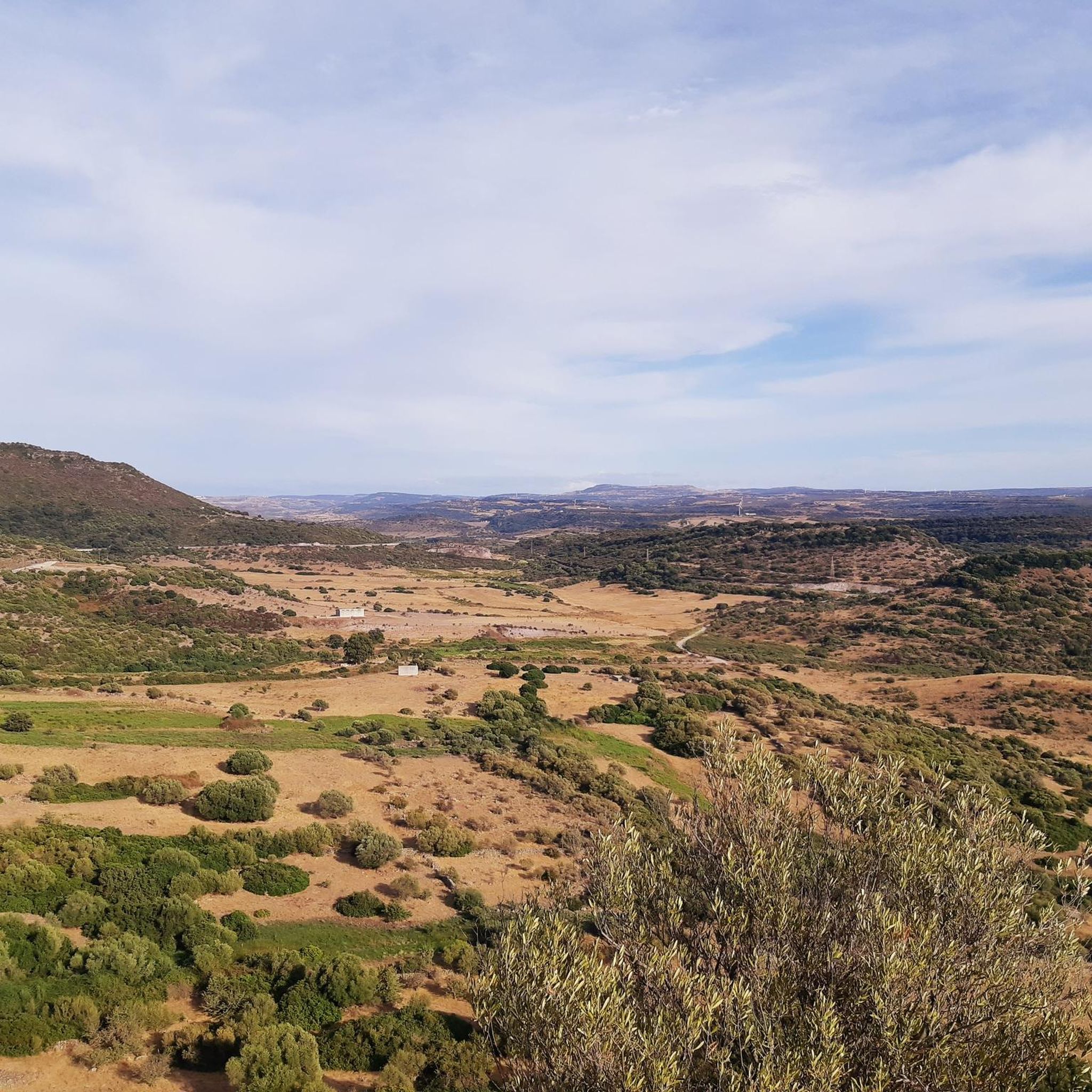
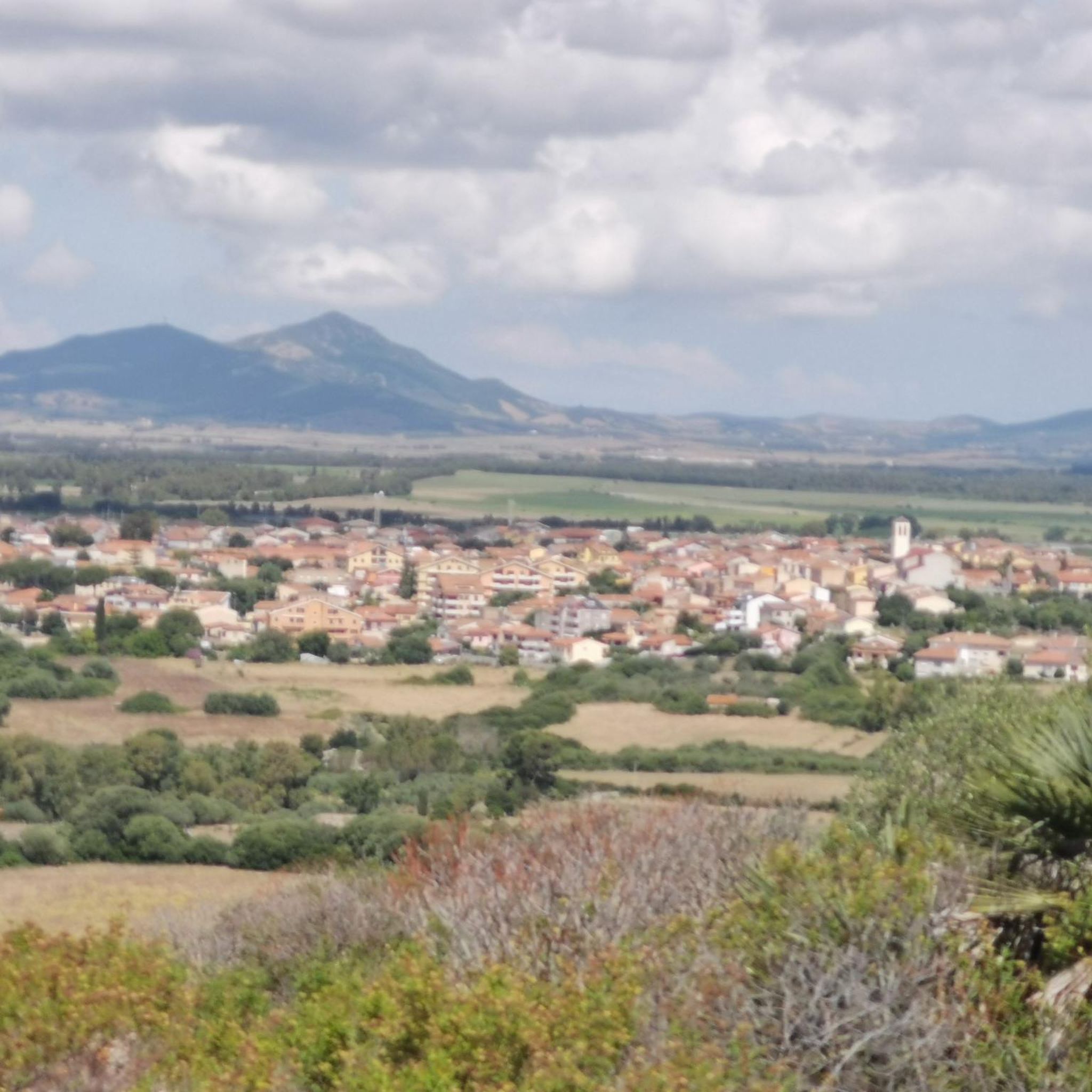
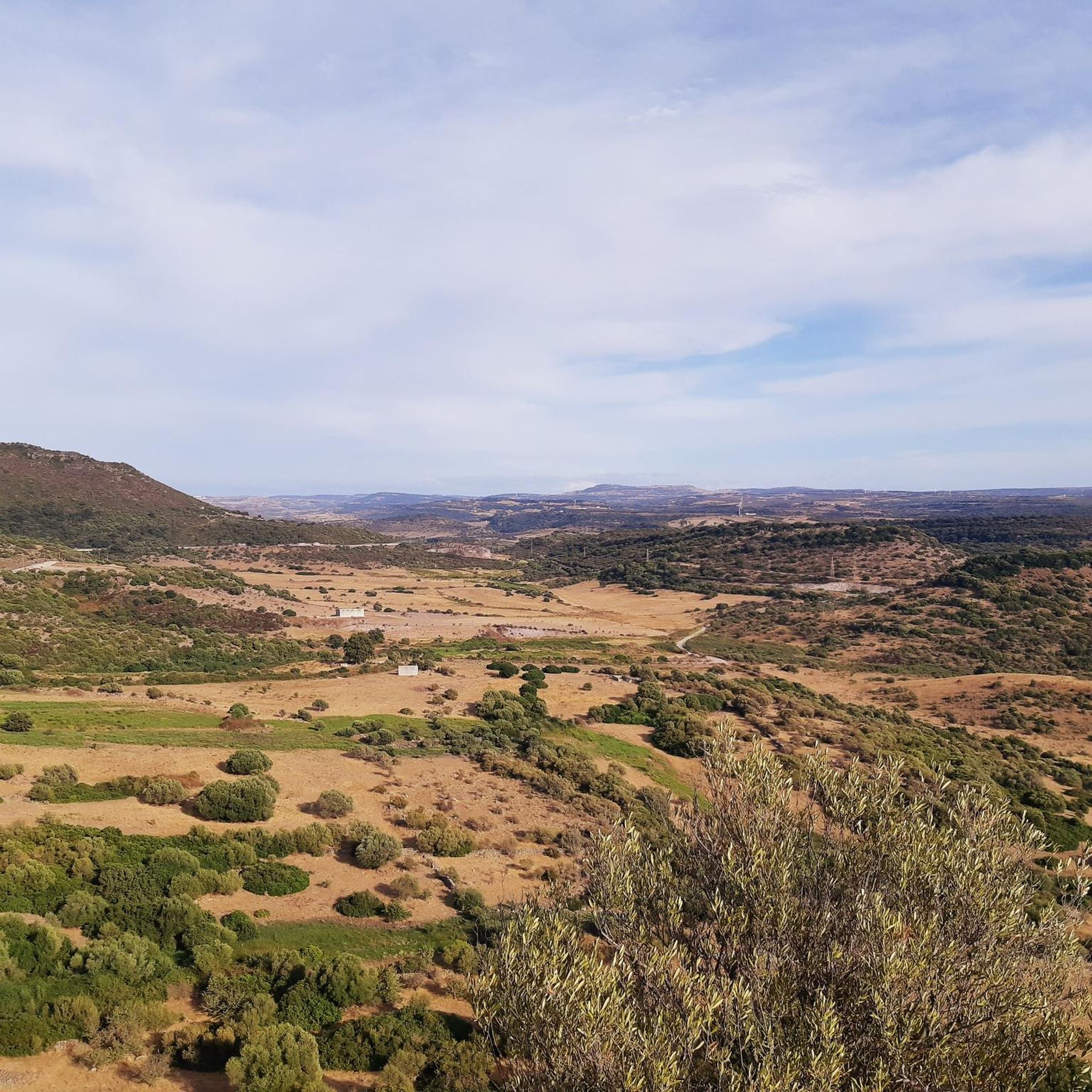
Hiking around S'Ulumedu/Olmedo offers diverse landscapes in northwestern Sardinia, Italy, characterized by a mix of generally flat terrain punctuated by hills such as Monte Rosso (236 meters) and the uplands of Sos Pianos and Pischina Manna (238 meters). The region features Mediterranean scrub, including holm oaks and wild olive trees, alongside ancient archaeological sites like nuraghi. The broader Nurra region provides contrasts between rocky coastal ridges and gentler inland slopes.
Best hiking trails around S'Ulumedu/Olmedo
- The most popular hiking route…
Last updated: August 3, 2026
4.7
(7)
20
hikers
8.78km
02:25
140m
140m
Hike the moderate 5.5-mile (8.8 km) From Olmedo to the Fortezza di Monte Baranta - ring tour to explore an ancient megalithic fortress.
4.5
(2)
128
hikers
6.73km
01:42
20m
20m
Easy hike. Great for any fitness level. Easily-accessible paths. Suitable for all skill levels.

Sign up for free
4.0
(2)
36
hikers
15.5km
04:01
80m
80m
Moderate hike. Good fitness required. Easily-accessible paths. Suitable for all skill levels.
46
hikers
3.64km
00:55
10m
10m
Easy hike. Great for any fitness level. Easily-accessible paths. Suitable for all skill levels.
4.3
(4)
39
hikers
5.37km
01:23
20m
20m
Easy hike. Great for any fitness level. Easily-accessible paths. Suitable for all skill levels.
Get access to more routes and recommendations from other explorers.
Sign up for free
Already have an account?
Our route recommendations are based on thousands of hikes, rides, and runs completed by other people on komoot.
Start today with a free account
Your next adventure awaits.
Login or Signup

Tips from the Community

The Torre di Sulis, built in the 16th century during the Aragonese domination, is the most imposing defensive tower in Alghero. It was part of the system of fortifications that protected the city against attacks from the sea and stands out for its thick walls and circular plan. Next to the tower, several historical cannons recovered from a Spanish galleon sunk off the coast of Alghero are exhibited, making it one of the most emblematic places on the seafront promenade.
1
0
Torre di Porta Terra was the main access gate to Alghero and the only passage from the mainland to the walled city. Built at the beginning of the 16th century during the Aragonese rule, it preserves the coat of arms of the Crown of Aragon that originally presided over the entrance. Until the end of the 19th century, its gates were closed every night to control access to the city. Today it houses a tourist information center and is one of the most representative symbols of Alghero's historic center.
1
0

Ymoinoo 8.ül. Nunnpj. Pinoxcc S SEE Pas.221-/\!!
0
0

Remarkable dune ridge that encloses the Maria Pia beach.
0
0
The ancient church of S. Agostino in Alghero is known by the citizens of Alghero by the nickname Vell, Vecchio. The small church is located near the train station, in the current Martin Luther King garden, situated in the Pietraia district. The Romanesque structure dates back to the 13th/14th century and has undergone modifications over time. It is counted among the rural churches where divine worship was practiced, but liturgies were not celebrated. It functioned more as a transit "chapel" for those arriving from Sassari and heading towards Alghero. The small church has a single nave plan with an apse and a pointed arch on the side wall. The gabled facade has a bell gable at the apex and, on the sides, two walls that probably supported a loggia. Inside, there is a sandstone altar and a wooden statue of S. Agostino dating back to the 18th century. (c) https://monumentiaperti.com/it/monumenti/chiesa-di-santagostino-vecchio/
0
0


The tower has a circular floor plan and consists of two large sections connected by a staircase carved into the thick surrounding wall. In 1412, the women of Alghero heroically defended this tower against an attack by the troops of the Viscount of Narbonne. In the 19th century, it became known as the Torre di Sulis after the Cagliari notary Vincenzo Sulis. He was imprisoned there from 1799 to 1821 for conspiracy and treason. The tower and the adjacent piazza have been a popular meeting place for years.
2
0

Well-preserved city wall with plenty of seating
0
0
Frequently Asked Questions
How many hiking trails are available around S'Ulumedu/Olmedo?
There are over 45 diverse hiking trails around S'Ulumedu/Olmedo, catering to various skill levels. This includes 32 easy routes, 14 moderate routes, and 3 more challenging trails.
What kind of terrain can I expect when hiking around S'Ulumedu/Olmedo?
The terrain around S'Ulumedu/Olmedo is quite varied. While generally flat, it features hills like Monte Rosso and the uplands of Sos Pianos, offering panoramic views. You'll encounter Mediterranean scrub with holm oaks and wild olive trees, and the broader Nurra region provides dramatic contrasts between rocky coastal ridges and gentler inland slopes.
Are there any family-friendly hiking options in S'Ulumedu/Olmedo?
Yes, S'Ulumedu/Olmedo offers many family-friendly hiking options. With 32 easy routes, you can find gentle paths suitable for all ages. A good example is the Alghero Lido Beach – Maddalena Tower loop from Alghero, which is an easy 3.4 km trail perfect for a leisurely walk.
Can I bring my dog on the hiking trails in S'Ulumedu/Olmedo?
While many trails in the region are dog-friendly, it's always recommended to keep your dog on a leash, especially in areas with wildlife or near archaeological sites. Please ensure you clean up after your pet to preserve the natural environment for everyone.
What historical landmarks can I explore while hiking in the area?
The region is rich in historical landmarks. You can explore over twenty ancient nuraghi, such as Monte Ortolu and Masala. A notable site is the Wall of Monte Baranta, an archaeological area with a defensive system and a megalithic circle. The Monte Baranta Archaeological Loop specifically allows you to explore this ancient fortress.
Are there any circular hiking routes available?
Yes, many routes around S'Ulumedu/Olmedo are circular, offering convenient starting and ending points. For instance, the Alghero's city walls – Alghero Marina loop from Alghero is a popular circular trail that takes you through the city walls and along the marina.
What are some interesting natural features or viewpoints to look out for?
Hikers can enjoy panoramic views from hills like Monte Rosso and Sos Pianos, overlooking the Gulf of Asinara and Fertilia. The Mediterranean scrub itself is a natural highlight, vibrant with colors and fragrances during flowering season. For specific viewpoints, consider visiting Beautiful view of the lagoon or the Alghero Seafront Promenade for coastal vistas.
What do other hikers enjoy most about the trails in S'Ulumedu/Olmedo?
The trails in S'Ulumedu/Olmedo are highly rated by the komoot community, with an average score of 4.4 stars from over 200 reviews. Hikers often praise the diverse landscapes, the blend of natural beauty with ancient archaeological sites, and the variety of routes suitable for different fitness levels.
Are there any coastal hiking opportunities near S'Ulumedu/Olmedo?
Yes, the broader Nurra region, close to S'Ulumedu/Olmedo, offers coastal trails. These routes feature dramatic rocky ridges and beautiful beaches, providing opportunities for stunning photography and relaxation. The Alghero Old Town – Alghero Marina loop from Fertilia is a moderate route that offers coastal views.
What are some nearby attractions I can visit after my hike?
After your hike, you can explore several nearby attractions. Consider visiting Alghero Old Town, the Sulis Tower, or the Cathedral of the Immaculate Conception of Alghero. For natural beauty, the Porto Conte Lagoon or Calich Lagoon are also great options.
What is the best time of year to go hiking in S'Ulumedu/Olmedo?
The Mediterranean climate makes spring and autumn ideal for hiking in S'Ulumedu/Olmedo, with pleasant temperatures and vibrant flora. Summer can be hot, so early mornings or late afternoons are recommended if hiking during this season. Winter offers milder conditions, though some trails might be wetter.
Are there any routes that pass through or near villages?
Yes, some routes offer the chance to experience local villages and towns. For example, the Roman Bridge – Fertilia Village loop from Alghero takes you near Fertilia Village, allowing you to combine your hike with a cultural experience.
Most popular routes around S'Ulumedu/Olmedo
Most popular attractions around S'Ulumedu/Olmedo

Get inspired with the komoot mobile app


Explore more
Browse the best Hikes in other regions.
