The best walks and hikes around Stadtroda
4.7
(10139)
35,399
hikers
87
hikes
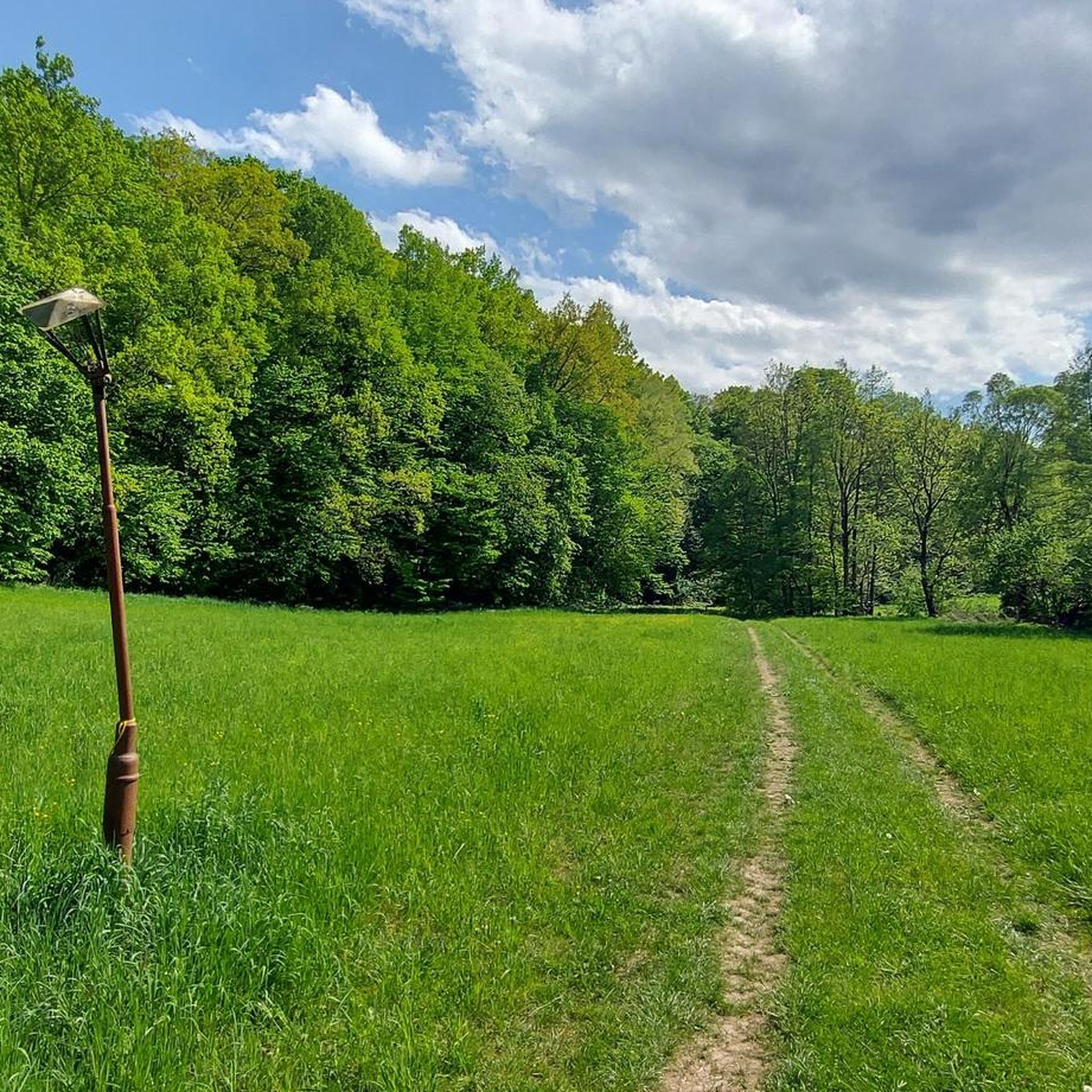
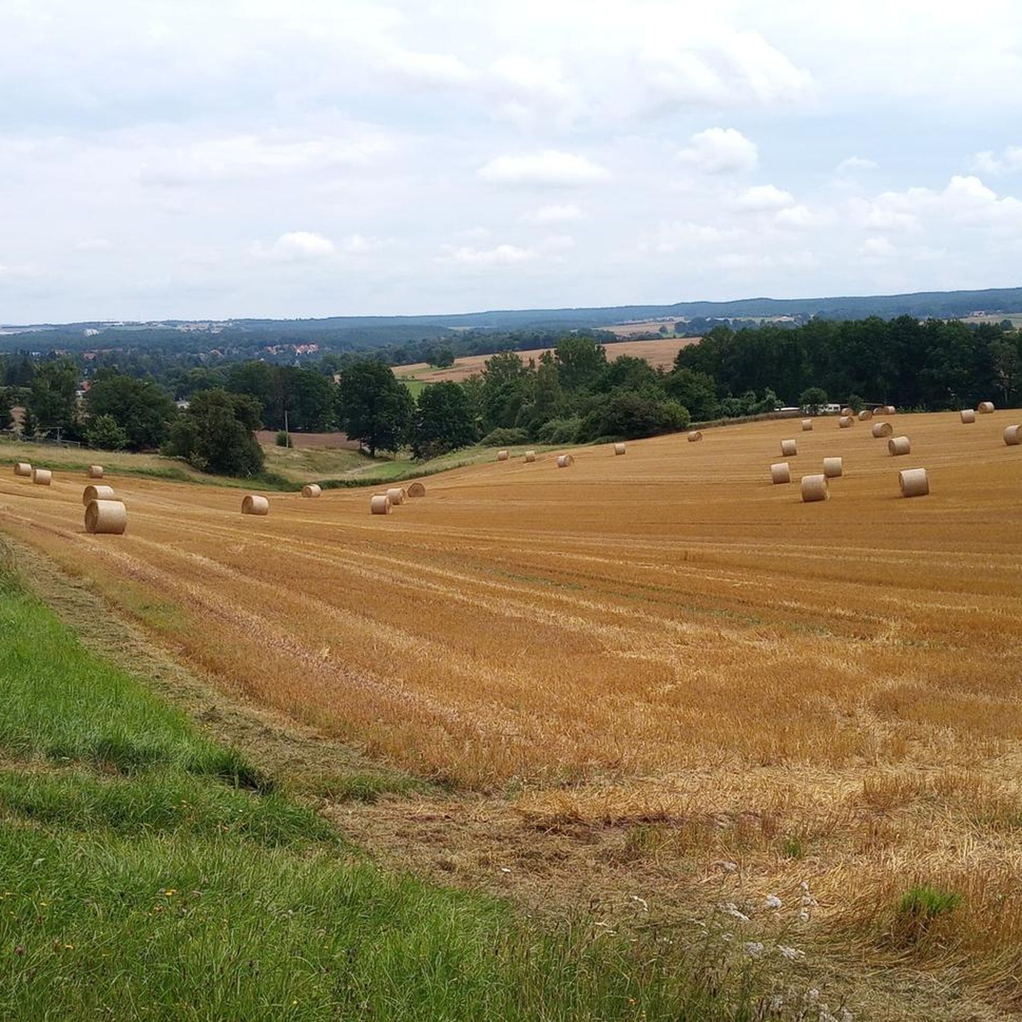
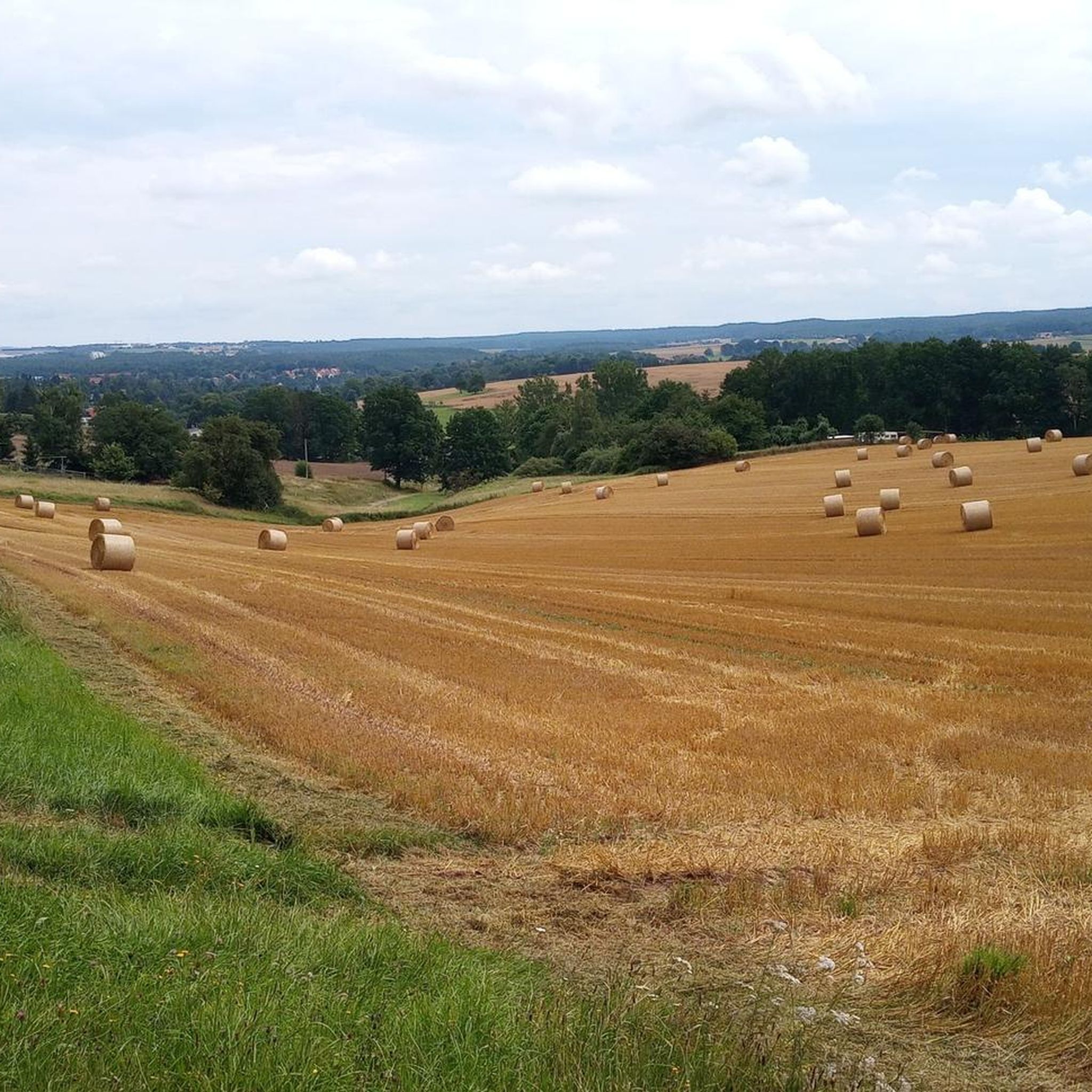
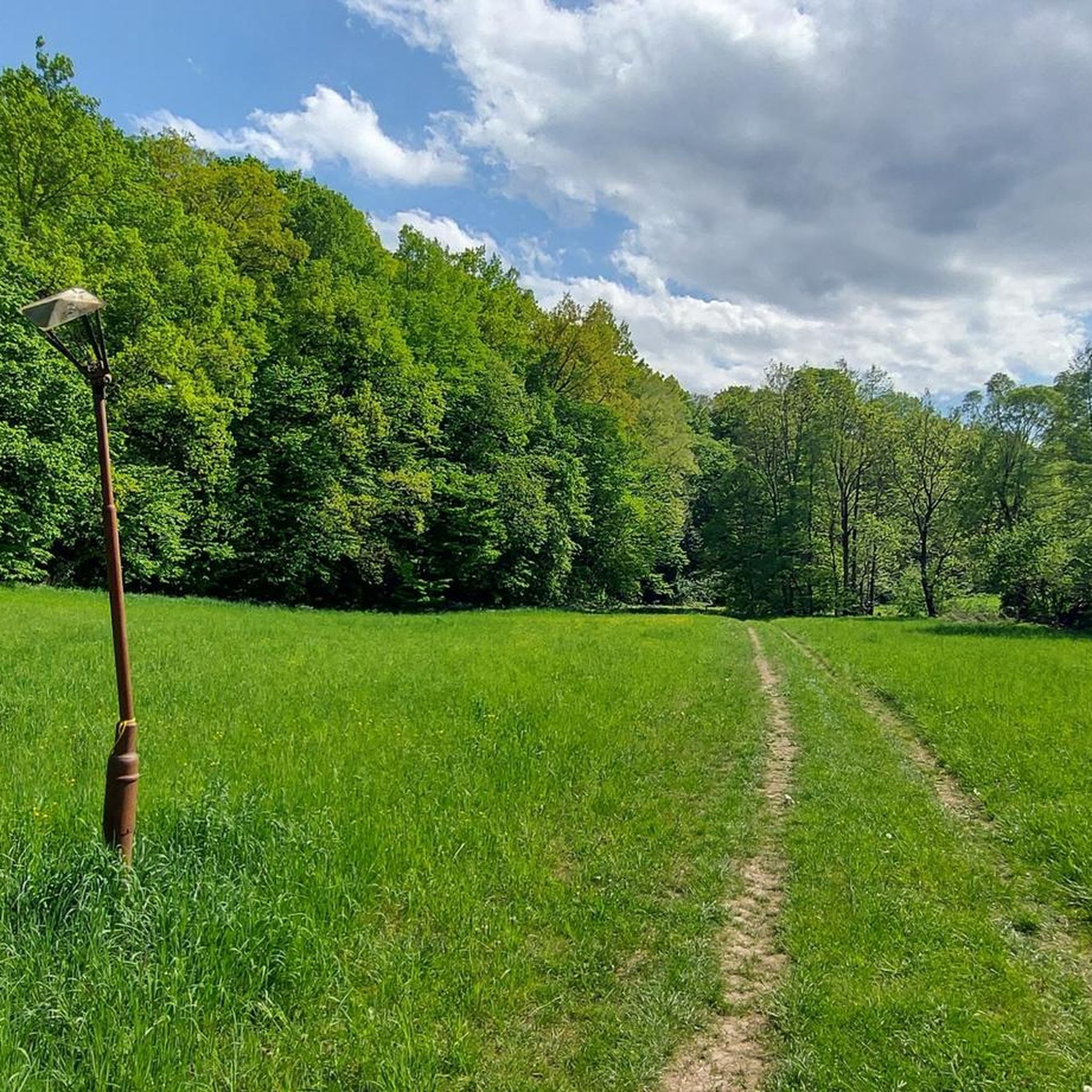
Hiking around Stadtroda offers diverse experiences through a hilly landscape, river valleys, and dense woodlands in Thuringia, Germany. The region is characterized by undulating hills and valleys such as the Zeitzgrund, Weihertal, and Nossengrund, with the Roda River flowing through the area. Extensive forests provide shaded trails, and distinctive red sandstone rock formations add geological interest to the routes.
Best hiking trails around Stadtroda
- The most popular hiking route is Zeitzgrund Stream – Zeitzgrund Valley loop from Stadtroda, a…
Last updated: September 30, 2026
4.5
(29)
85
hikers
14.7km
03:57
180m
180m
Moderate hike. Good fitness required. Easily-accessible paths. Suitable for all skill levels.
4.8
(6)
18
hikers
12.8km
03:32
210m
210m
Moderate hike. Good fitness required. Easily-accessible paths. Suitable for all skill levels.

4.7
(3)
15
hikers
13.8km
03:42
170m
170m
Moderate hike. Good fitness required. Easily-accessible paths. Suitable for all skill levels.
4.6
(7)
31
hikers
8.79km
02:21
100m
100m
Moderate hike. Good fitness required. Easily-accessible paths. Suitable for all skill levels.
4.8
(5)
19
hikers
8.41km
02:17
120m
120m
Moderate hike. Good fitness required. Easily-accessible paths. Suitable for all skill levels.
Get access to more routes and recommendations from other explorers.
Already have an account?
Our route recommendations are based on thousands of hikes, rides, and runs completed by other people on komoot.
Start today with a free account
Your next adventure awaits.
Tips from the Community

Coming from Hermsdorf, this is essentially the last mill in the Zeitzgrund region. Abandoned, dilapidated. It's probably been there since 1989 and is now a refuge for birds, bats, and other wildlife. Video surveillance. A warning is issued against entry.
1
0

This wooden sculpture by Holger Michaelis is part of the sculpture trail.
1
0
This wooden sculpture by Sandro Luft, Trockhausen is part of the sculpture trail.
9
0
The monastery was the house monastery and burial place of the Lords of Lobdeburg, the founding family.
18
0

Good opportunity to relax after a hike
1
0
Start of a beautiful leisurely hike
2
0
I don't know what people get out of destroying everything all the time. The hiking trail is generally fine again. I thought it was very nice and can only recommend it. It's also easy for older people to walk on.
2
0

Here your physical well-being is taken care of, eat, drink, feel good.
1
0
Frequently Asked Questions
What kind of landscape can I expect when hiking around Stadtroda?
Stadtroda is characterized by a diverse landscape featuring undulating hills, picturesque river valleys like the Zeitzgrund, Weihertal, and Nossengrund, and dense woodlands. You'll also encounter distinctive red sandstone rock formations, adding geological interest to your hikes.
How many hiking trails are available in the Stadtroda region?
There are over 70 hiking routes available in the Stadtroda region, catering to various preferences and fitness levels. These include a good mix of easy, moderate, and some more challenging trails.
Are there any family-friendly hiking options in Stadtroda?
Yes, Stadtroda offers several easy walks suitable for families. For instance, the Weihertal Stream – Wooden Shelter in the Forest loop from Stadtroda is an easy 6.3 km (3.9 miles) path that leads through woodlands and along the stream, perfect for a relaxed family outing.
What are some notable natural attractions or landmarks to see on the trails?
Hikers can discover several interesting points. The Amselfall near Stadtroda and Dorna is a beautiful waterfall located within the Zeitzgrund valley. You might also encounter the Rod'sche Möhre Bench or the Meister Tatze Wooden Bear Sculpture along various routes, offering unique spots for a break.
Are there any circular hiking routes available in Stadtroda?
Many of the hiking routes in Stadtroda are designed as circular trails, bringing you back to your starting point. An example is the Zeitzgrund Stream – Ice Age Boulder near Ruttersdorf loop from Stadtroda, a moderate 12.7 km (7.9 miles) trail through the scenic Zeitzgrund valley.
What is the best time of year to go hiking in Stadtroda?
Stadtroda is suitable for outdoor activities year-round. Spring offers lush greenery, summer provides pleasant conditions for walks, and autumn showcases vibrant foliage, making it a particularly beautiful time to visit.
What do other hikers say about the trails in Stadtroda?
The routes in Stadtroda are highly rated by the komoot community, with an average score of 4.6 stars from over 300 reviews. Hikers often praise the diverse natural scenery, well-maintained paths, and the tranquility of the woodlands and river valleys.
Can I reach the hiking trailheads in Stadtroda using public transport?
While specific public transport connections to every trailhead vary, Stadtroda itself is accessible by public transport. Many routes start directly from or near the town center, making them potentially reachable without a car. It's advisable to check local bus or train schedules for specific starting points.
Are there any historical sites that can be combined with a hike?
Yes, the region offers historical points of interest. The Ruins of the Cistercian Nunnery Roda, for example, can be incorporated into hiking routes, providing a cultural element to your outdoor excursion.
Are there longer, more challenging routes for experienced hikers?
For those seeking a longer, moderate challenge, the Weihertal Stream – Zeitzgrund Stream loop from Stadtroda is a good option. This 13.8 km (8.6 miles) path combines the diverse natural scenery of both valleys and typically takes around 3 hours 40 minutes to complete.
What are the typical elevations and distances for hikes in Stadtroda?
Hikes in Stadtroda vary, but many moderate routes cover distances between 8 to 15 km (5 to 9 miles) with elevation gains typically ranging from 100 to 200 meters. For example, the Zeitzgrund Stream – Zeitzgrund Valley loop from Stadtroda is a 14.6 km (9.1 miles) moderate trail with about 178 meters of elevation gain.
Most popular routes around Stadtroda
Most popular attractions around Stadtroda

Get inspired with the komoot mobile app


Explore more
Browse the best Hikes in other regions.
