The best road cycling routes around Ulassa/Ulassai
4.7
(33)
591
riders
39
rides
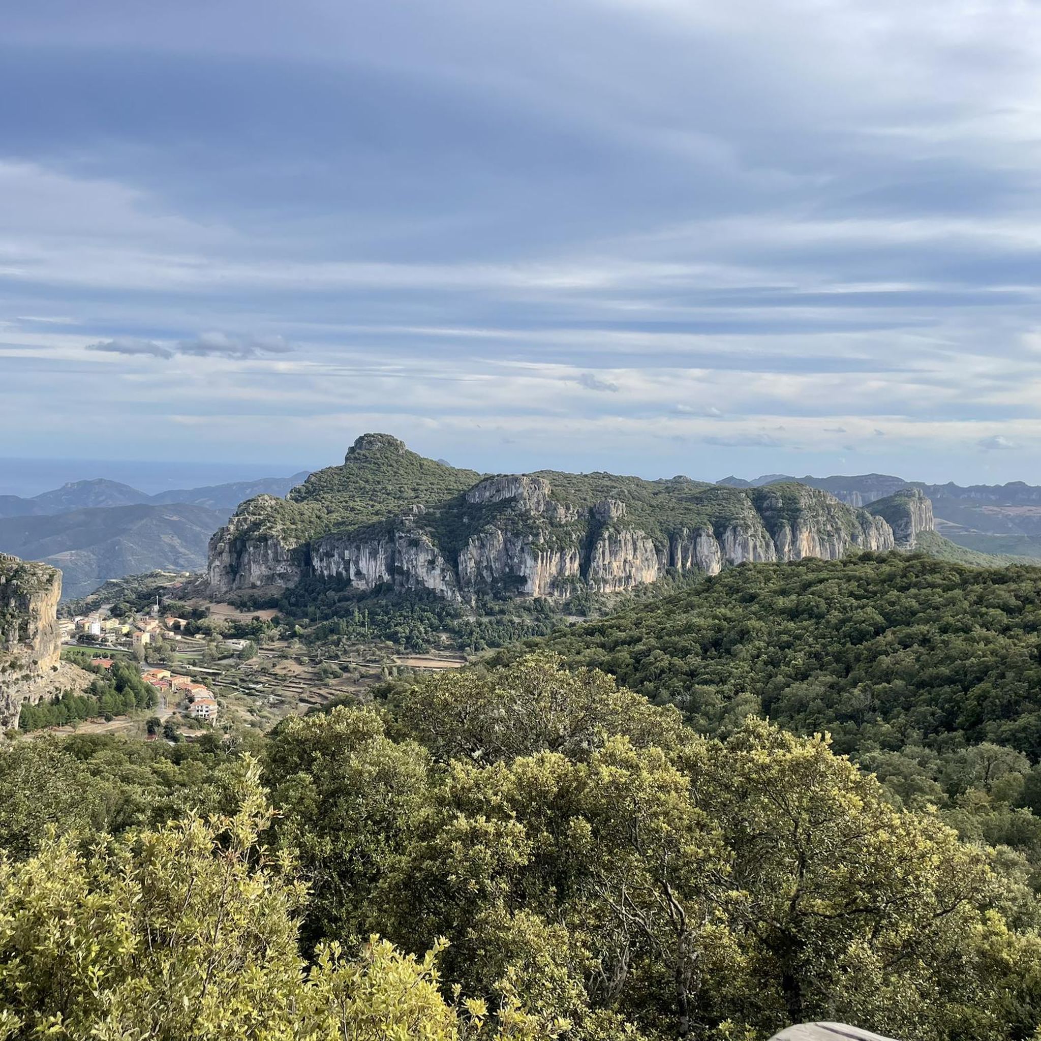
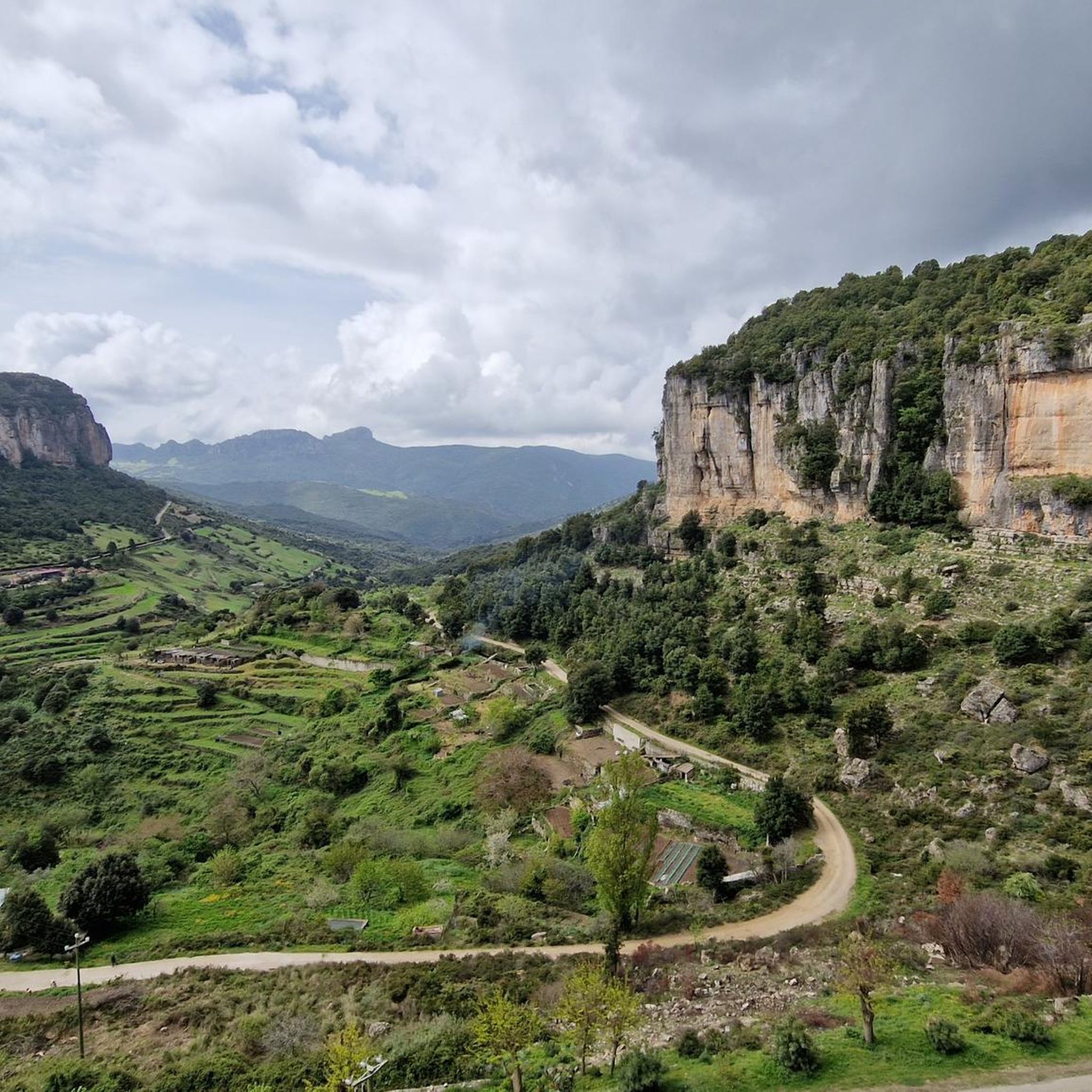
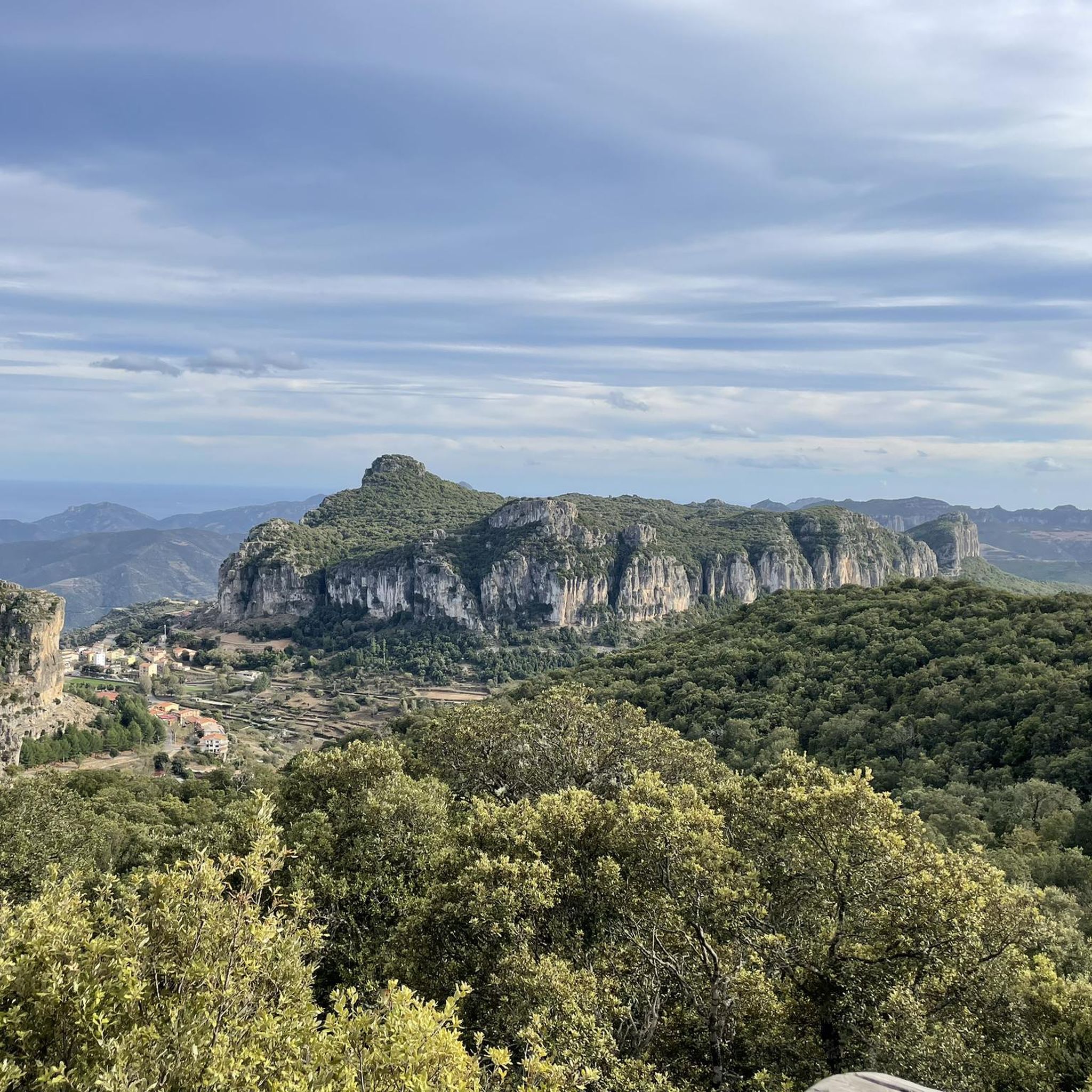
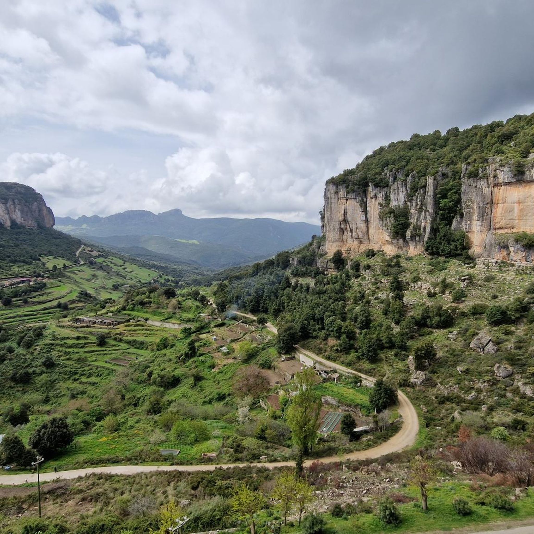
Road cycling routes around Ulassa/Ulassai are set amidst rugged landscapes and diverse terrain in Sardinia's Ogliastra region. The area is characterized by impressive limestone mountains known as "Tacchi," which rise to about 1,000 meters, and the village itself sits between 700 and 800 meters above sea level. Cyclists can expect an extensive network of quiet, secondary asphalt roads with varied elevation gains, offering routes that range from moderate to challenging. This mountainous terrain provides a rewarding experience for those seeking climbs and descents with panoramic views.
Best road cycling routes around Ulassa/Ulassai
- The most popular road cycling route is From Tertenia to Perdasdefogu via Jerzu — ring tour, a 42.7 miles (68.7 km) trail that takes 3 hours 27 minutes to complete. This route offers varied elevation through the region's characteristic mountainous landscape.
- Another top favourite among local road cyclists is Ulassai – Jerzu loop from Pitzu Sant'Antonio, a difficult 58.7 miles (94.5 km) path. This challenging route features significant climbs and descents, winding through the dramatic limestone "Tacchi" formations.
- Local road cyclists also love the View of Perda 'e Liana – Riu Saraginu Valley loop from Ulassa/Ulassai, a 30.4 miles (48.9 km) trail leading through mountainous terrain with panoramic views, often completed in about 2 hours 42 minutes.
- Road cycling around Ulassa/Ulassai is defined by limestone plateaus, mountainous terrain, and quiet secondary asphalt roads. The network offers options for both moderate and challenging routes, catering to different ability levels.
- The routes in Ulassa/Ulassai are highly rated by the komoot community with an average score of 4.1 stars from over 30 reviews. More than 700 road cyclists have used komoot to explore Ulassa/Ulassai's varied terrain.
Last updated: August 4, 2026
1.0
(1)
82
riders
93.9km
05:27
2,140m
2,140m
Hard road ride. Very good fitness required. Mostly well-paved surfaces and easy to ride.
4.3
(3)
30
riders
48.9km
02:43
1,050m
1,050m
Hard road ride. Very good fitness required. Mostly well-paved surfaces and easy to ride.

Sign up for free
4.8
(5)
42
riders
43.0km
02:39
1,080m
1,080m
Hard road ride. Very good fitness required. Mostly well-paved surfaces and easy to ride.
17
riders
119km
06:20
2,180m
2,180m
Hard road ride. Very good fitness required. Some segments of this route may be unpaved and difficult to ride.
9
riders
83.3km
04:29
1,570m
1,560m
Hard road ride. Very good fitness required. Mostly well-paved surfaces and easy to ride.
Get access to more routes and recommendations from other explorers.
Sign up for free
Already have an account?
Our route recommendations are based on thousands of hikes, rides, and runs completed by other people on komoot.
Start today with a free account
Your next adventure awaits.
Login or Signup

Tips from the Community

This beautiful park is located in the municipality of Elini
4
0
Built after the 1951 flood, the inhabitants abandoned old Gairo.
4
0
Old Osini, like old Gairo, suffered the same fate, abandoned in 1951 due to a very strong flood.
4
0
Beautiful view of the municipality of Jerzu
3
1
Bridge on the SS125 which stands out for its shape and also for a small narrowing of the roadway
4
1
Beautiful town in the Torre di Bari hamlet which is a few km away
3
0
The historic center of the town (which today is called "Gairo Vecchio") was half destroyed by a flood in 1951, and was subsequently completely abandoned, to rebuild new houses a little higher up than the half-destroyed village and on the coast, the latter then forming over the years the town of Cardedu.
2
0
Old Gairo was abandoned after the 1951 flood; its residents rebuilt the village a little further up. It's certainly evocative, being right on the road from Gairo to Jerzu, and seeing it abandoned brings a touch of melancholy to those passing by.
3
0
Frequently Asked Questions
How many road cycling routes are available in Ulassa/Ulassai?
There are over 30 road cycling routes available around Ulassa/Ulassai. The majority, 24 routes, are classified as difficult, with 9 moderate and 1 easy route, offering options for various skill levels.
What kind of terrain can I expect when road cycling in Ulassa/Ulassai?
Road cycling in Ulassa/Ulassai features a unique combination of rugged landscapes and diverse terrain. You'll primarily ride on quiet, secondary asphalt roads amidst impressive limestone mountains known as the 'Tacchi'. Expect varied elevation gains, including significant climbs and descents, providing a rewarding experience with panoramic views.
Are there any challenging road cycling routes for experienced riders?
Yes, Ulassa/Ulassai is well-suited for experienced riders seeking a challenge. The region offers 24 difficult road cycling routes with significant climbs and descents. For example, the Ulassai – Jerzu loop from Pitzu Sant'Antonio is a demanding 94.5 km route that winds through the dramatic limestone 'Tacchi' formations.
What are some notable natural landmarks or viewpoints I can see while cycling?
The region is rich in natural beauty. You'll encounter the characteristic limestone 'Tacchi' plateaus, offering spectacular viewpoints. Consider routes that pass near Perda e Liana, a distinctive natural monument, or the dramatic Scala di San Giorgio gorge. The View of Perda 'e Liana – Riu Saraginu Valley loop from Ulassa/Ulassai offers excellent panoramic views.
Are there any circular road cycling routes in Ulassa/Ulassai?
Yes, many routes in the area are designed as loops, allowing you to start and finish in the same location. Popular circular options include From Tertenia to Perdasdefogu via Jerzu — ring tour and the Lockheed TF-104G Starfighter – San Nicola Quirra Church loop from Foghesu/Perdasdefogu.
What is the best time of year for road cycling in Ulassa/Ulassai?
The mountainous terrain of Ulassai, situated between 700 and 800 meters above sea level, makes spring and autumn ideal for road cycling. During these seasons, temperatures are milder, and the natural scenery is particularly vibrant. Summers can be hot, especially in the valleys, while winters can bring cooler temperatures to the higher elevations.
What do other road cyclists say about their experience in Ulassa/Ulassai?
The road cycling routes around Ulassa/Ulassai are highly rated by the komoot community, with an average score of 4.1 stars from over 30 reviews. Cyclists often praise the stunning panoramic views, the challenging climbs, and the quiet, well-maintained asphalt roads that wind through the dramatic limestone landscape.
Are there any historical or cultural attractions to visit near the cycling routes?
Beyond the natural beauty, Ulassai offers cultural insights. You can explore ancient charcoal kilns and numerous prehistoric testimonies like Nuragic and pre-Nuragic traces. The Is Tostoinus Nuragic Village is a significant historical site. Also, consider visiting the Gairo Vecchio (Abandoned Village) or the Stazione dell'Arte civic museum in Ulassai, which houses works by local artist Maria Lai.
Can I find cafes or amenities along the road cycling routes in Ulassa/Ulassai?
While the routes often traverse quiet, natural landscapes, Ulassai and nearby villages offer amenities. It's advisable to plan your route to pass through towns like Ulassai or Jerzu, where you can find cafes, restaurants, and shops to refuel and rest. Always carry sufficient water and snacks, especially on longer or more remote sections.
Are there opportunities to see wildlife while road cycling in Ulassa/Ulassai?
The wild nature of Ulassai provides opportunities to observe local wildlife, particularly in less populated areas. The Girisai Wildlife Oasis is a dedicated area for experiencing the authentic nature of the territory. While cycling, you might encounter various bird species and other small animals typical of the Mediterranean scrubland and mountainous environments.
What are the options for parking when starting a road cycling tour in Ulassa/Ulassai?
In Ulassai and surrounding towns, you can typically find public parking areas suitable for leaving your vehicle while you embark on your cycling tour. It's recommended to park in designated spots within the village centers, which often serve as convenient starting points for many routes.
Are there any caves or waterfalls accessible near the road cycling routes?
Yes, the region is home to impressive natural formations. The Su Marmuri Cave, one of Europe's most significant, is a major attraction. While not directly on a road cycling route, it's a short detour from Ulassai. The Lecorci and Lequarci waterfalls are also notable, with Lequarci being Sardinia's largest, though their flow is dependent on recent rainfall.
Most popular routes around Ulassa/Ulassai
Most popular attractions around Ulassa/Ulassai

Get inspired with the komoot mobile app


Explore more
Browse the best Road cycling routes in other regions.
