The best road cycling routes around Campodolcino
4.6
(146)
4,206
riders
12
rides
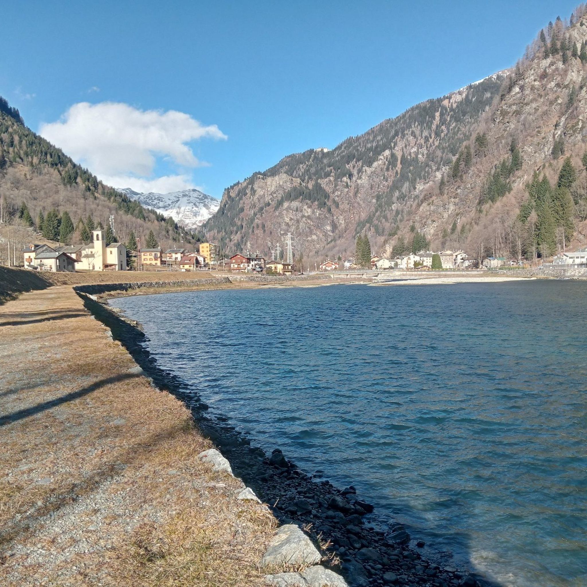
Road cycling routes around Campodolcino are situated in a narrow glacial valley within the province of Sondrio, Italy, offering diverse landscapes for cyclists. The terrain is defined by high mountains, deep valleys, and significant mountain passes, including the challenging Passo Spluga. Cyclists can expect well-paved roads, numerous climbs, and views of lakes like Lake Montespluga, alongside dense larch woodlands. The area provides a network of routes suitable for varying fitness levels.
Best road cycling routes around Campodolcino
- The most popular…
Last updated: August 1, 2026
4.9
(11)
211
riders
37.9km
02:24
1,110m
1,110m
Hard road ride. Very good fitness required. Mostly well-paved surfaces and easy to ride.
4.9
(12)
204
riders
164km
09:30
3,850m
3,850m
Hard road ride. Very good fitness required. Some segments of this route may be unpaved and difficult to ride.

Sign up for free
5.0
(2)
186
riders
109km
06:16
2,460m
2,460m
Hard road ride. Very good fitness required. Mostly well-paved surfaces and easy to ride.
4.8
(10)
155
riders
31.2km
02:08
1,040m
1,040m
Hard road ride. Very good fitness required. Mostly well-paved surfaces and easy to ride.
5.0
(1)
63
riders
23.5km
01:32
740m
740m
Moderate road ride. Good fitness required. Mostly well-paved surfaces and easy to ride.
Get access to more routes and recommendations from other explorers.
Sign up for free
Already have an account?
Our route recommendations are based on thousands of hikes, rides, and runs completed by other people on komoot.
Start today with a free account
Your next adventure awaits.
Login or Signup
Popular around Campodolcino
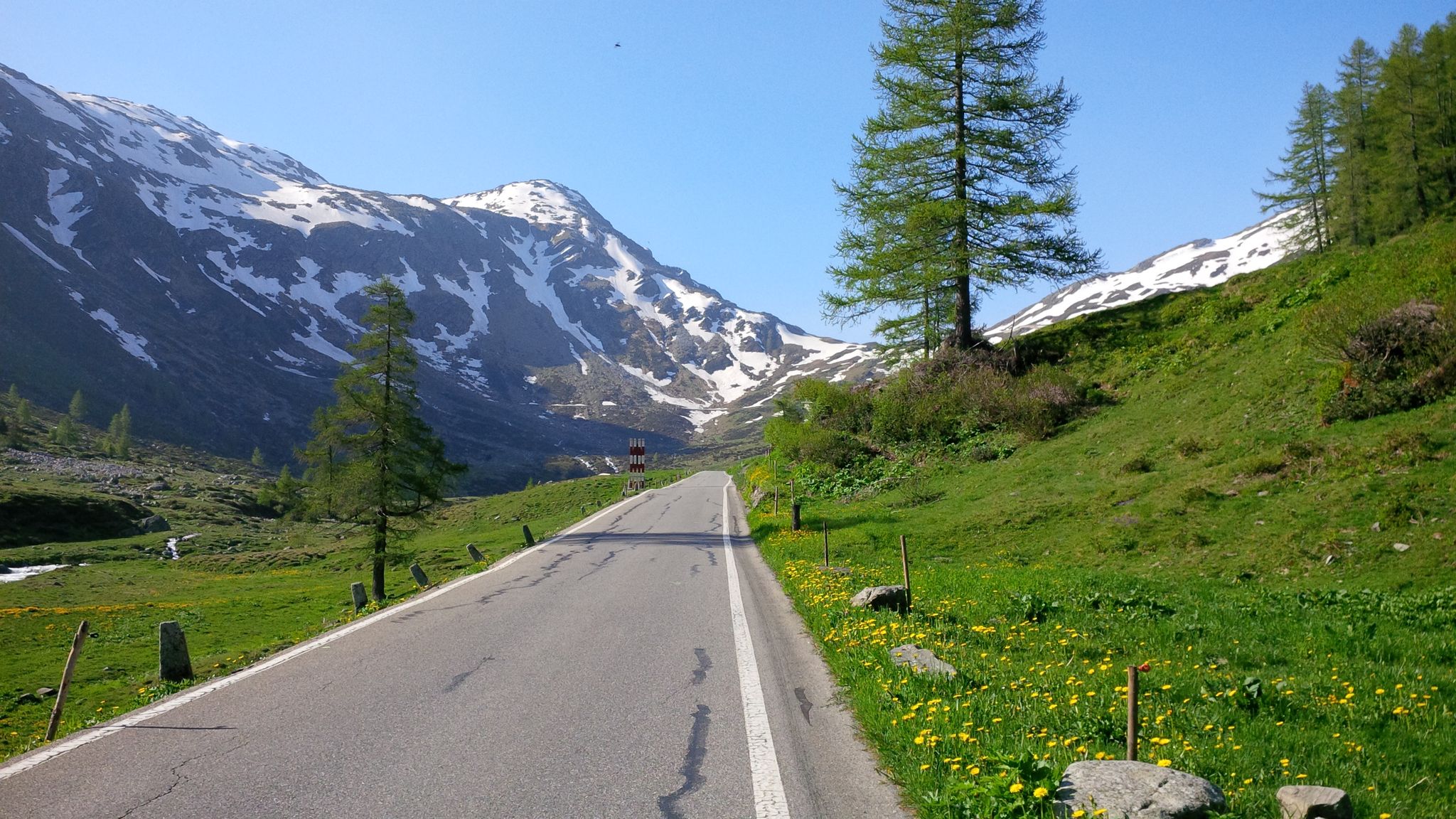
Effort tastes sweet – the most beautiful climbs in Italy’s Valchiavenna
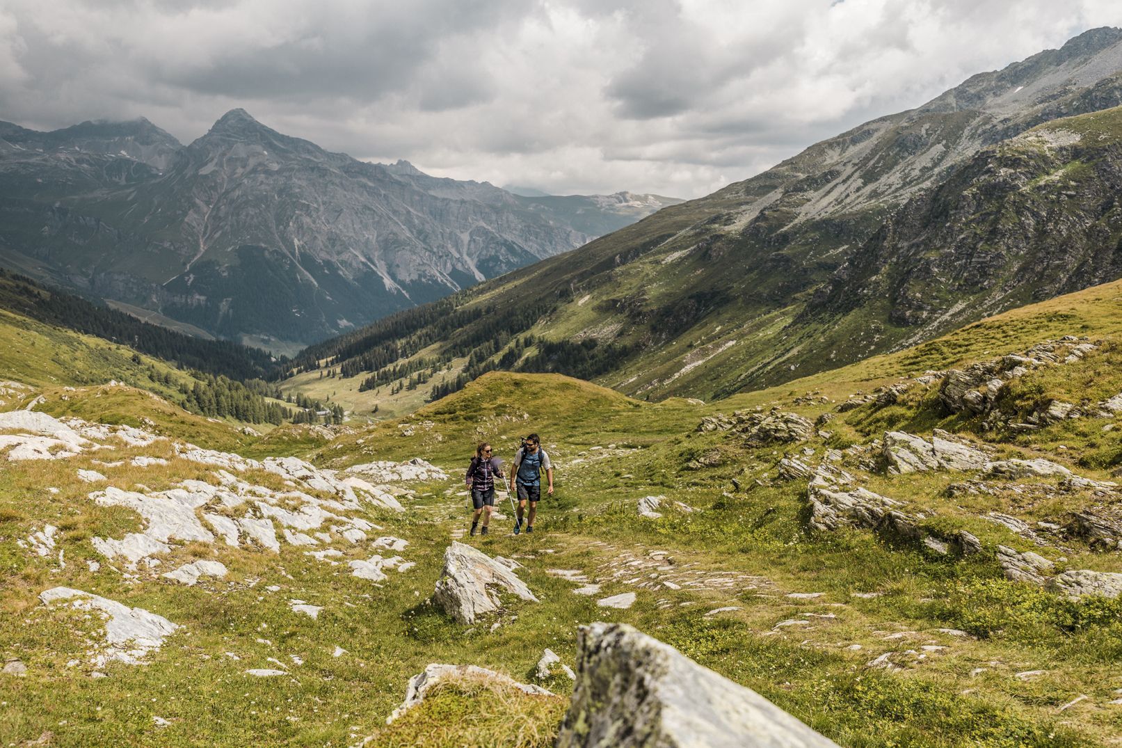
Between deep canyons, waterfalls and turquoise lakes – Via Spluga

Valtellina in MTB: è un'avventura
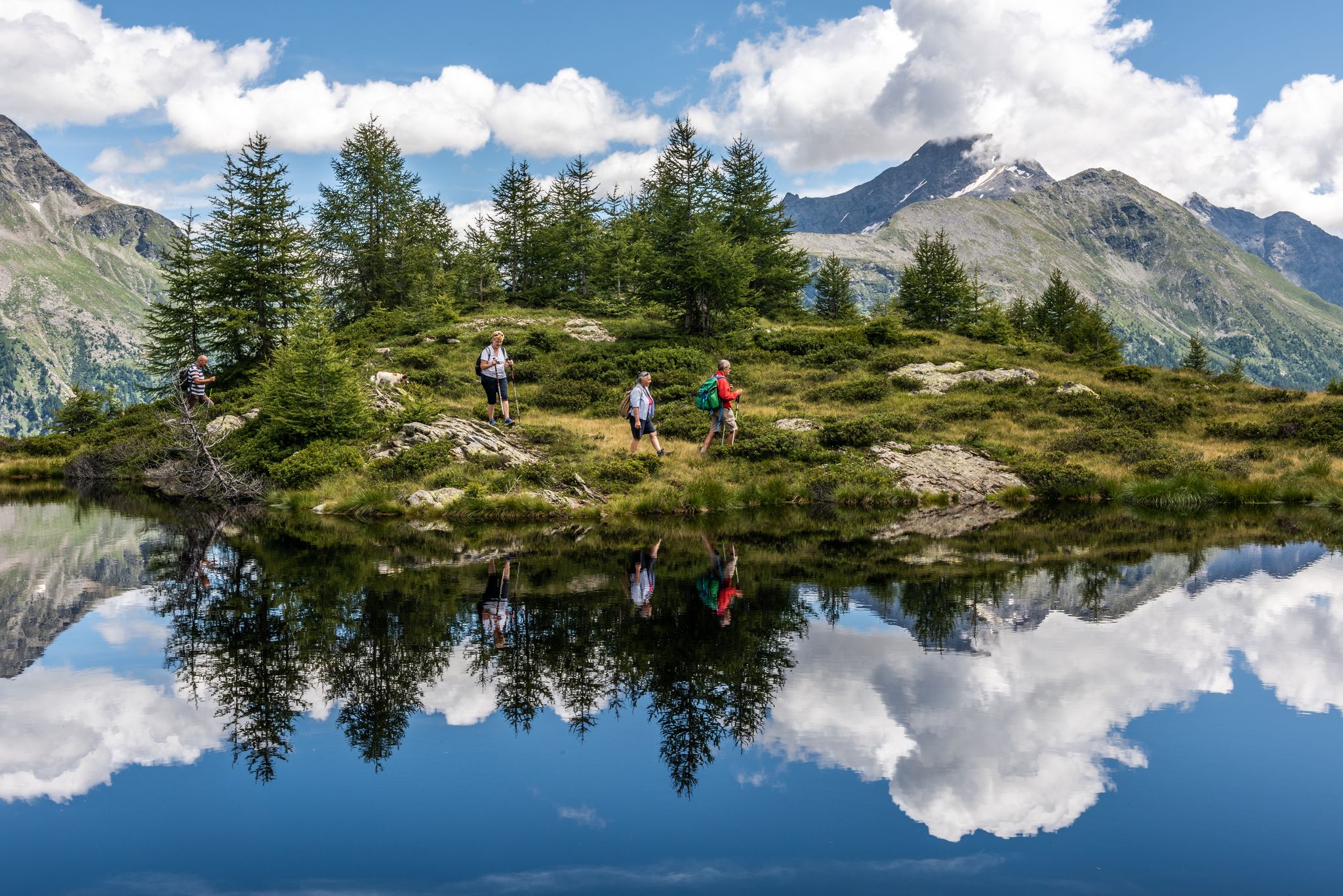
Oasi di tranquillità alpina – 5 laghi da non perdere in Valchiavenna
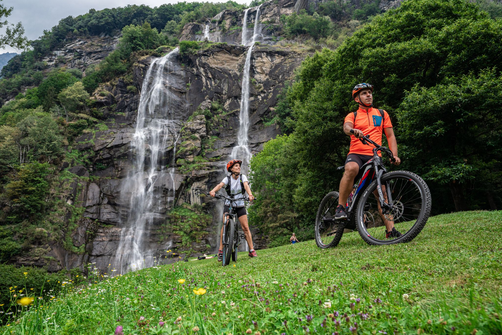
La Valchiavenna in MTB – itinerari da non perdere
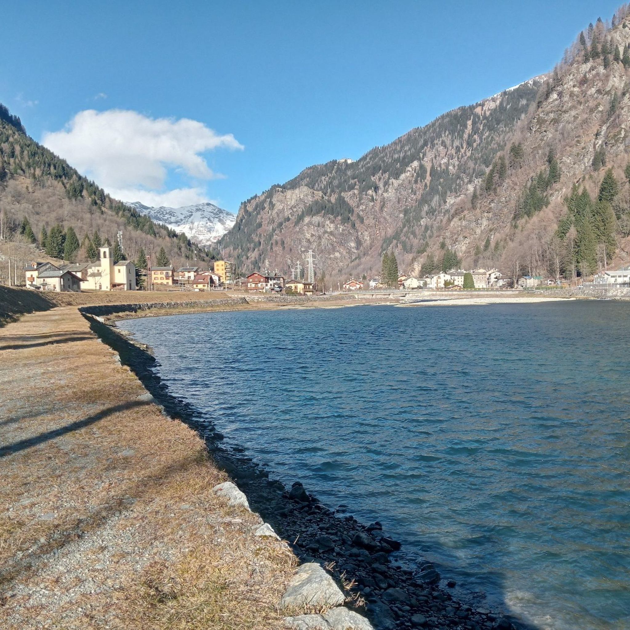
Hiking around Campodolcino
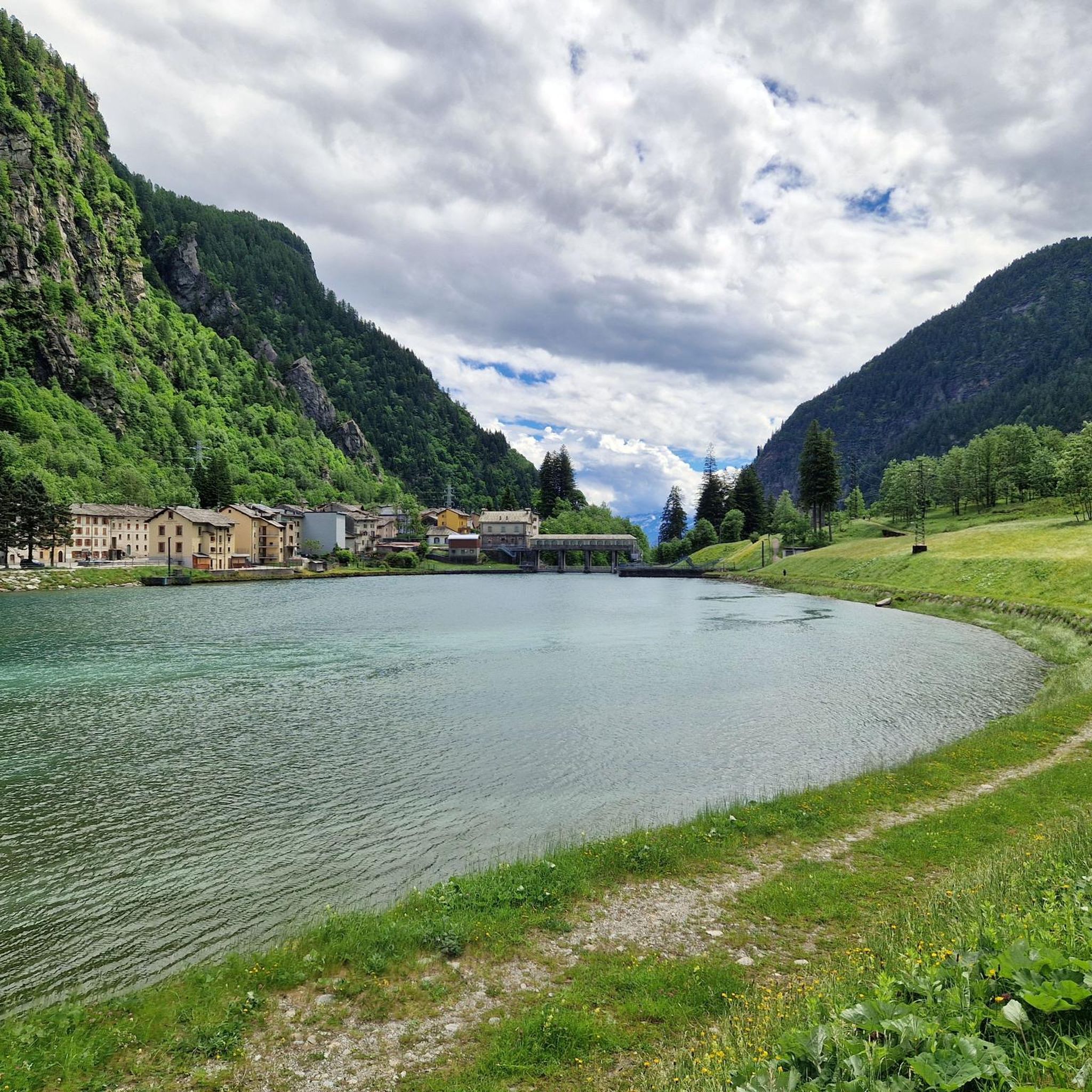
MTB Trails around Campodolcino
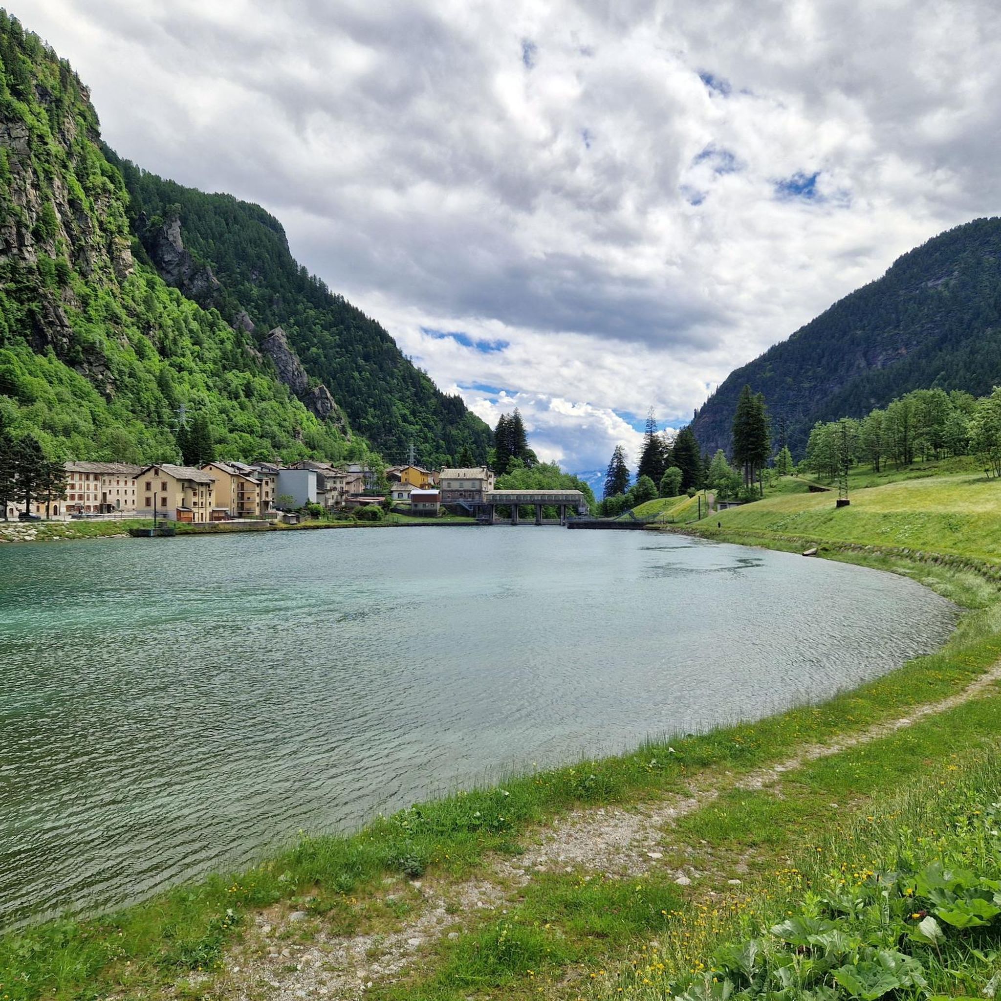
Cycling around Campodolcino
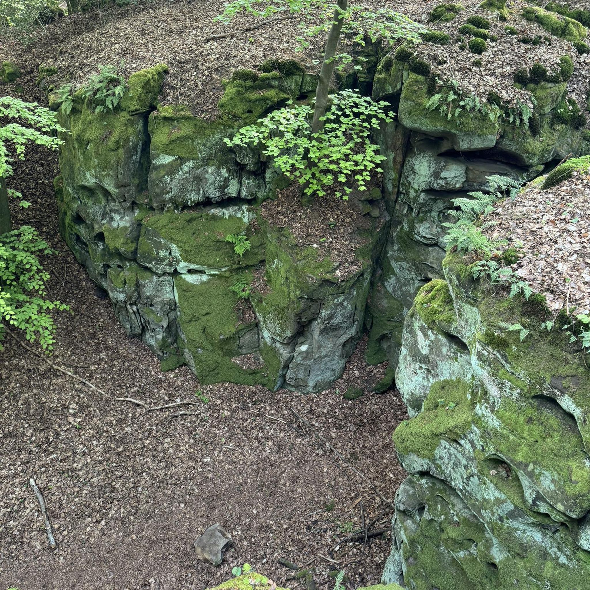
Gravel biking around Campodolcino
Running Trails around Campodolcino
Other adventures around Campodolcino


Tips from the Community

The ride through the famous Via Mala Gorge is a true highlight for road cyclists. The narrow, winding road winds spectacularly between steep rock faces, combining a challenging ride with impressive scenery. The asphalt is well-ridable, but you should expect tight bends, changing light, and heavy traffic—so it's best to ride in the early morning or late afternoon. A quick stop at the viewpoints is worthwhile to experience the magnificent views down into the gorge.
1
0

Traffic-free alternative to busy roads.
0
0
The bike path mostly runs close to the lakeshore. On hot days, be sure to stop and stretch your feet!
0
0
Absolutely impressive serpentine section! Be careful in the unlit tunnels!
0
0
Driving through these tunnels is a real highlight, but lights and a safety vest are recommended, as the tunnels are not lit!
1
0
51 switchbacks down into the valley. All numbered! It's simply a joy. But be careful in the unlit tunnels and galleries.
0
0
It's a great way to enjoy the descent! But be careful, the tunnels aren't lit. It's better to drive with your lights on!
2
0
A small café with a cozy space, a bit outside the center. There's a small fountain in front of the café, perfect for cooling off on hot days.
1
0
Frequently Asked Questions
How many road cycling routes are available around Campodolcino?
Campodolcino offers a wide selection of road cycling routes, with nearly 80 options available. These routes cater to various fitness levels, from moderate climbs to challenging, long-distance rides.
What is the best time of year for road cycling in Campodolcino?
The best time for road cycling in Campodolcino is generally from spring through autumn. Mountain passes like the Spluga Pass are typically open from late spring to early autumn. Autumn is particularly scenic, with larch woodlands displaying vibrant golden and red hues.
Are there challenging climbs for experienced road cyclists?
Yes, Campodolcino is renowned for its challenging climbs. The region features numerous ascents, including the significant and rewarding Climb to the Spluga Pass, known for its hairpin bends and tunnels. Another difficult option is the Lake Montespluga – SS 36, hairpin bends and tunnels loop from Campodolcino.
What kind of natural landscapes can I expect to see while cycling?
Road cyclists in Campodolcino can expect diverse and stunning natural landscapes. You'll encounter majestic mountains, deep glacial valleys, and high peaks like Pizzo Quadro. The routes often feature beautiful lakes such as Lake Montespluga and Lago Bianco, as well as lush larch woodlands and picturesque waterfalls like the Acquafraggia Waterfalls. The Caurga della Rabbiosa gorge is another notable natural monument.
Are there any family-friendly road cycling routes in Campodolcino?
While many routes in Campodolcino require good to very good fitness due to significant climbs, there are options for varying ability levels. For families or those seeking less strenuous rides, it's advisable to look for routes with moderate difficulty, focusing on flatter sections along the valley floor or shorter loops. Always check the route profile for elevation gain before setting out.
What cultural or historical sights can I visit along the routes?
Beyond natural beauty, Campodolcino offers cultural and historical points of interest. You can explore the Museum of the Via Spluga and Val San Giacomo, or the Ethnographic Museum of the Mountain Community of Valchiavenna. Historical structures like a Roman bridge, various churches, and the ruins of Mesocco Castle also provide glimpses into the region's past.
What do other cyclists say about road cycling in Campodolcino?
The road cycling routes in Campodolcino are highly rated by the komoot community, with an average score of 4.9 stars from over 80 reviews. Cyclists frequently praise the challenging climbs, the stunning mountain and lake views, and the well-paved surfaces that make for an enjoyable riding experience.
Are there any gorges or canyons to see while cycling?
Yes, the region around Campodolcino features impressive gorges. You can find highlights such as the Cardinello Gorge and the Marmitte dei Giganti Nature Reserve. The Via Mala Gorge near Thusis – Lake Mezzola loop from Motta di Sotto is a longer route that takes you through a dramatic gorge.
How can I access Campodolcino with my bike using public transport?
Campodolcino is accessible via public transport. You can take trains to Chiavenna, which is the main transport hub for the Valchiavenna region. From Chiavenna, local buses or other transport options can take you to Campodolcino. It's advisable to check specific train and bus schedules, and their policies regarding bike transport, in advance.
Where can I find parking facilities for road cycling routes in Campodolcino?
Campodolcino, being a hub for outdoor activities, offers various parking facilities. Specific parking areas are often available near trailheads or in the town center. It's recommended to check local signage or online maps for designated parking zones suitable for cyclists, especially when starting longer routes.
Are there any routes that feature lakes or waterways?
Absolutely. The region is dotted with beautiful lakes and waterways. Routes often pass by or offer views of Lake Montespluga, Lago Azzurro (Blue Lake), and Lago Bianco. The river Liro also traverses Campodolcino. A notable route is the SS 36, hairpin bends and tunnels – Lake Montespluga loop from Campodolcino, which provides extensive lake views.
Most popular routes around Campodolcino
Most popular attractions around Campodolcino

Get inspired with the komoot mobile app


Explore more
Browse the best Road cycling routes in other regions.
