The best road cycling routes in the Spring Mountains
4.8
(50)
2,075
riders
17
rides
Road cycling in the Spring Mountains offers diverse terrain, characterized by rugged mountains, towering cliffs, and deep canyons. The region features significant elevation changes, with routes ascending through distinct climate zones from desert landscapes to pinyon-juniper woodlands and ponderosa pine forests. These varied environments provide challenging climbs and expansive desert vistas for cyclists. The area's well-maintained roads and dramatic scenery make it a notable destination for road biking.
Best road cycling routes in the Spring Mountains
- The most popular road…
Last updated: July 20, 2026
5.0
(2)
393
riders
46.0km
02:18
670m
670m
Embark on the Calico Basin and Red Rock Canyon Scenic Loop from Charleston Blvd for a moderate racebike ride through stunning desert landscapes. This route covers 28.6 miles (46.0 km)…
5.0
(1)
164
riders
58.2km
02:48
770m
770m
Embark on a moderate road cycling adventure through the stunning desert landscape of Red Rock Canyon National Conservation Area. This route covers 36.1 miles (58.2 km) with a significant elevation…

Sign up for free
5.0
(3)
151
riders
25.4km
01:28
450m
450m
Embark on a moderate road cycling adventure along the Red Rock Canyon Scenic Loop, a 15.8-mile (25.4 km) route that promises dramatic desert scenery. You will climb 1484 feet (452…
5.0
(2)
43
riders
134km
05:59
1,120m
1,120m
If you're looking for a challenging road cycling experience, the Tour de Summerlin 80-Mile Course delivers a demanding ride through Nevada's desert landscape. This difficult route stretches for 83.4 miles…
19
riders
31.4km
01:32
270m
270m
Embark on an easy road cycling journey with the Tour de Summerlin 20-Mile Course, a route that spans 19.5 miles (31.4 km) and includes a gentle climb of 893 feet…
8
riders
44.8km
02:23
500m
500m
Cycle the moderate 27.8-mile Western and Northern Beltway Trail Loop in Las Vegas, featuring varied terrain and mountain views.
39
riders
49.4km
03:08
1,270m
1,270m
Hard road ride. Very good fitness required. Some segments of this route may be unpaved and difficult to ride.
53
riders
Moderate road ride. Good fitness required. Mostly well-paved surfaces and easy to ride.
31
riders
Hard road ride. Very good fitness required. Mostly well-paved surfaces and easy to ride.
7
riders
71.2km
03:32
630m
630m
Moderate road ride. Good fitness required. Mostly well-paved surfaces and easy to ride.
Get access to more routes and recommendations from other explorers.
Sign up for free
Already have an account?
Our route recommendations are based on thousands of hikes, rides, and runs completed by other people on komoot.
Start today with a free account
Your next adventure awaits.
Login or Signup
Popular around Spring Mountains

The tour of your life – music trails on the Pacific coast

Historic Route 66 – curiosities, selfie spots and diners

Canyons, Plateaus and Hoodoos – discover Southwest USA
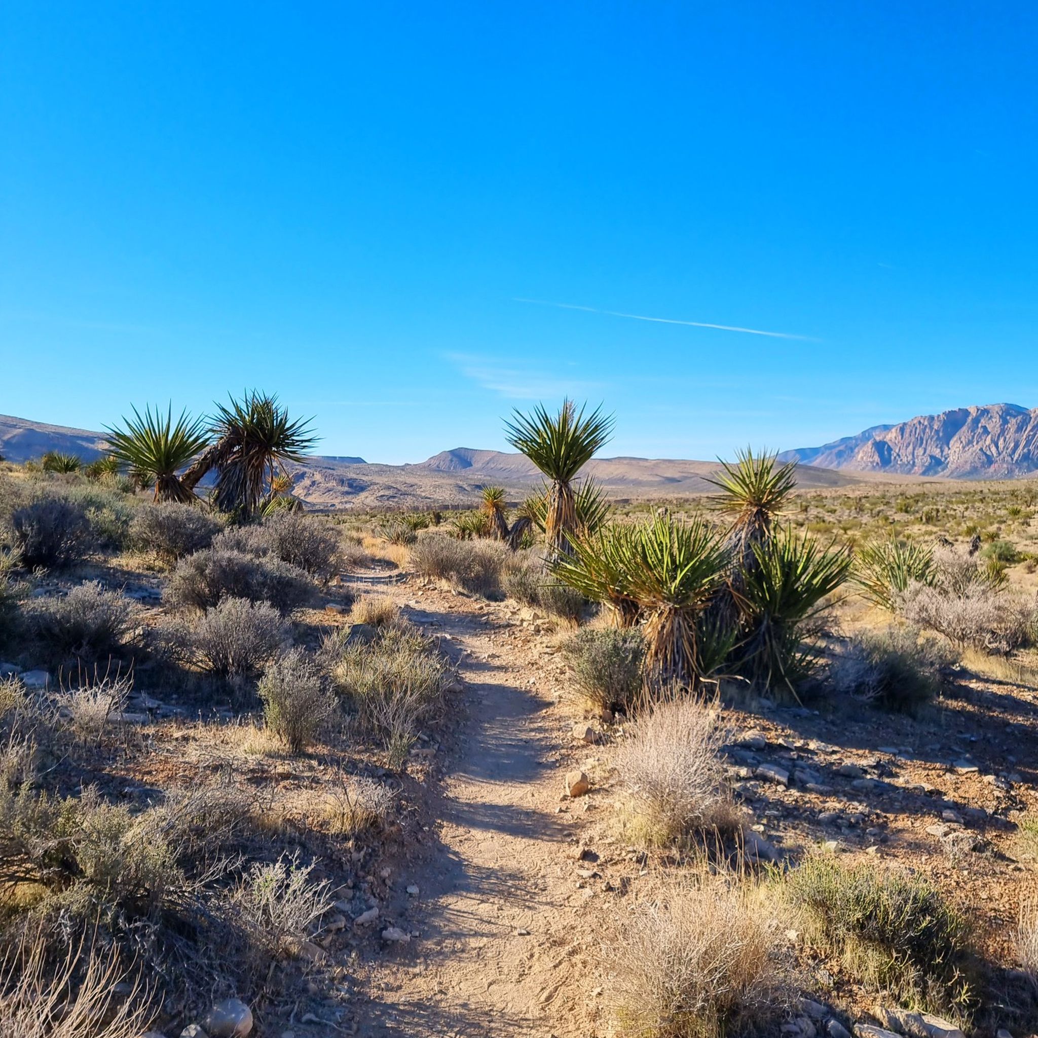
Hiking in the Spring Mountains
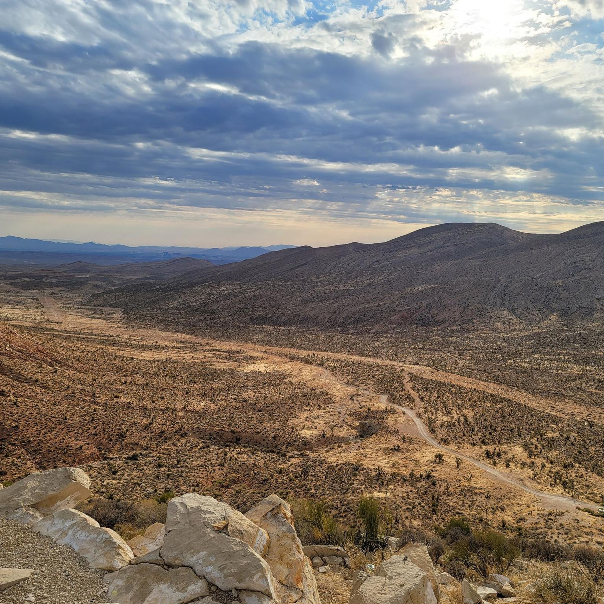
MTB Trails in the Spring Mountains
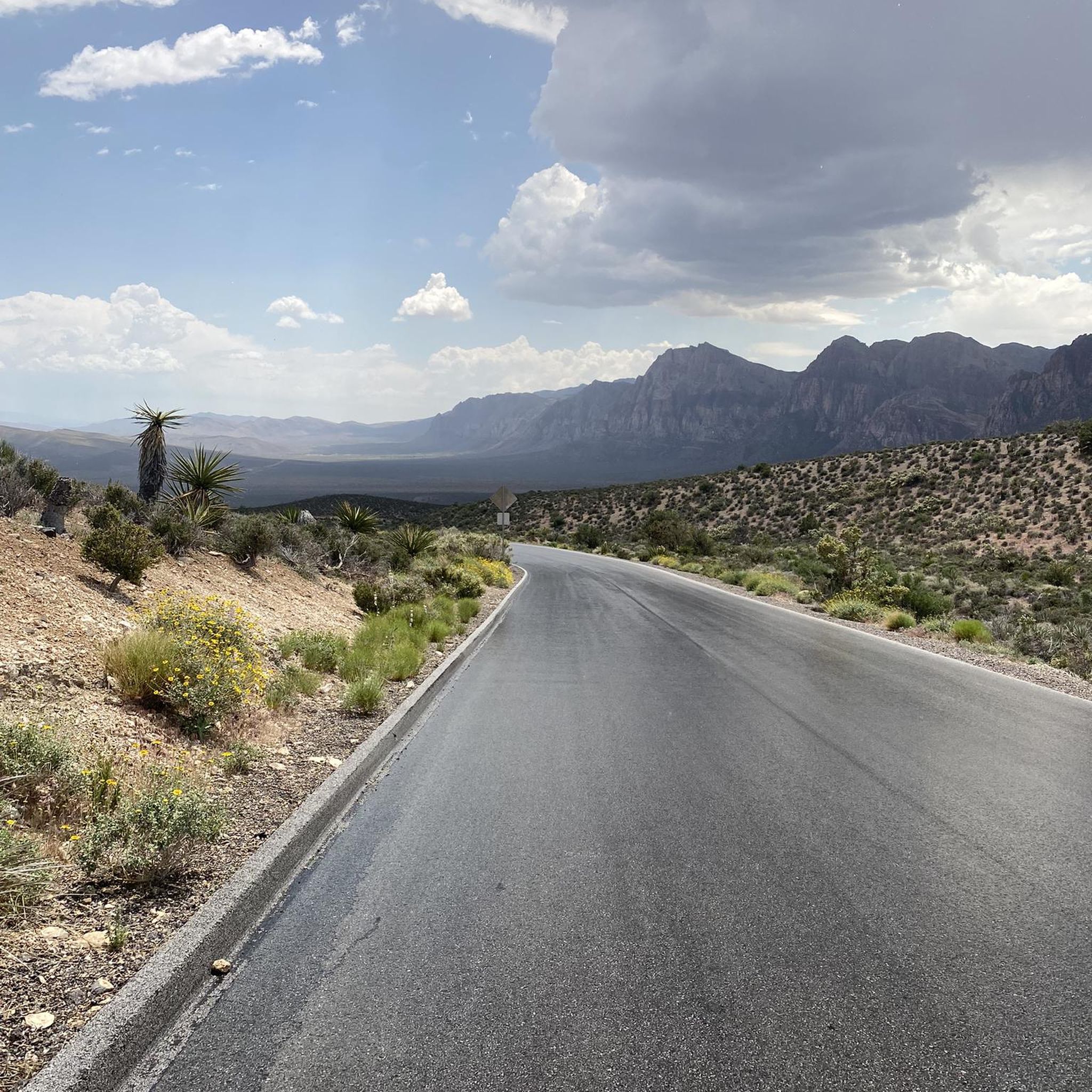
Cycling in the Spring Mountains
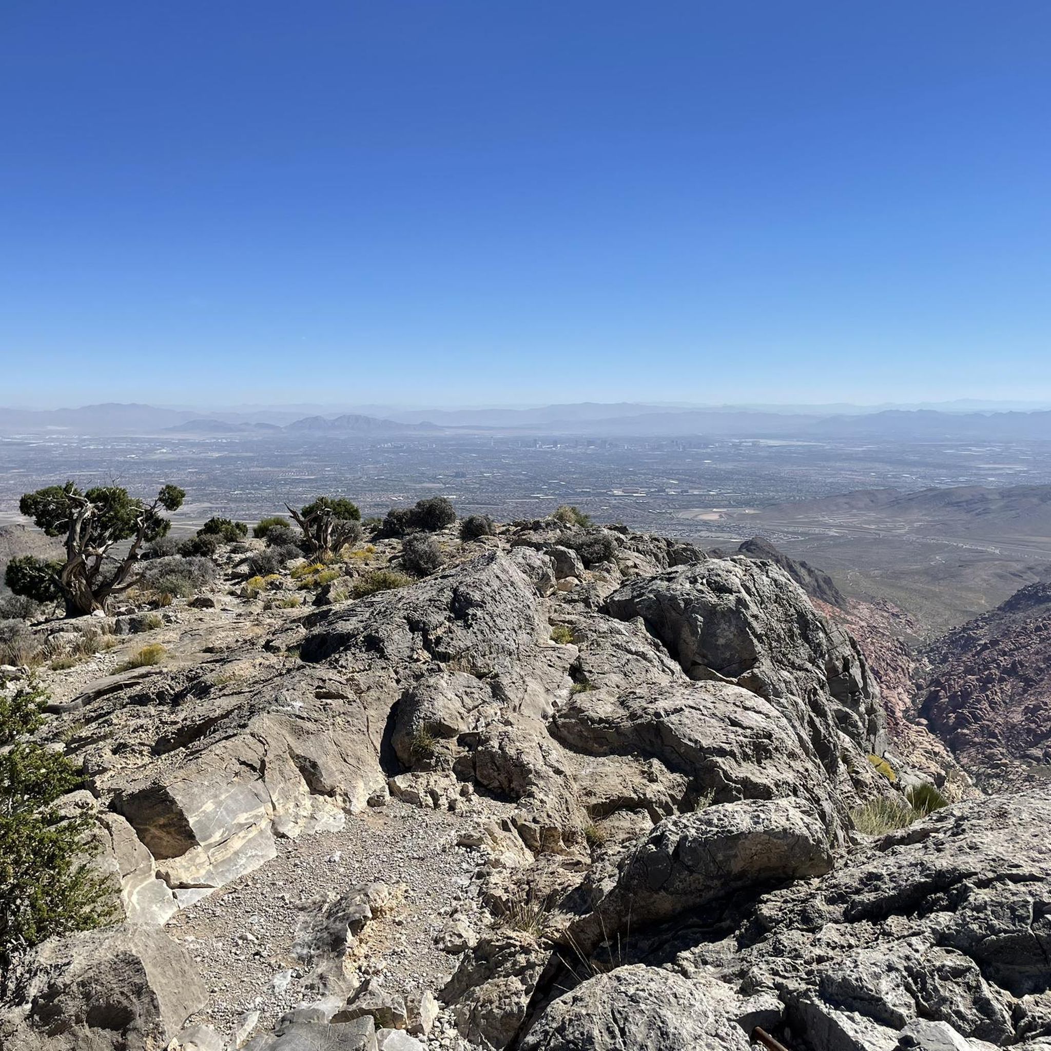
Running Trails in the Spring Mountains
Other adventures in the Spring Mountains

Tips from the Community

Several good groups to ride with depending on your pace!
0
0

A paved, three-mile multi-use trail that runs alongside CC 215. You can tie it together with the Western Beltway Trail to log some miles without any extreme climbs.
0
0

The Northern Beltway Trail is a 3-mile multi-use trail that runs alongside CC 215. It is fully paved and fairly flat, so it is not too challenging a trail to run.
1
0

Downtown Summerlin is just south of the Red Rock Resort and Casino is a great outdoor shopping and dining complex with numerous restaurants and cafés, as well as one of the best farmers markets in Vegas every Saturday. This is also where the popular Tour de Summerlin bike race and half-marathon begins and ends.
1
0
The Bonanza Trail is a 5.3-mile trail that runs through Las Vegas. It combines traffic free sections with bike lanes, quiet roads and sidewalks. This section of the trail is completely off-road and traffic free.
2
0
Downtown Summerlin is just south of the Red Rock Resort and Casino is a great outdoor shopping and dining complex with numerous restaurants and cafes, as well as one of the best farmers markets in Vegas every Saturday. This is also where the popular Tour de Summerlin bike race and half marathon begins and ends.
0
0
A nice, steady climb on a quiet residential road - it's a good spot to get off the busy main road and ride a moderate hill with a view!
0
0
Mesa Park is a large, 19-acre park in Summerlin South. There are bathrooms, a playground, two tennis courts, three softball/baseball fields, a full-sized basketball court, covered picnic/BBQ areas, and parking. This park is where many park to access the extensive Bears Best Trail System, but is also a good place to park and begin a road cycling adventure on the west side of town.
1
0
Frequently Asked Questions
How many road cycling routes are available in the Spring Mountains?
The Spring Mountains offer a diverse selection of over 20 road cycling routes. These routes cater to various skill levels, including easy, moderate, and difficult options, ensuring there's a suitable ride for every cyclist.
What kind of terrain and elevation can I expect on road cycling routes in the Spring Mountains?
Road cycling in the Spring Mountains features dramatic and varied terrain. You'll encounter rugged mountains, towering cliffs, and deep canyons, with elevations ranging from 3,000 feet to nearly 12,000 feet. Routes often ascend through distinct climate zones, transitioning from desert landscapes to pinyon-juniper woodlands and ponderosa pine forests, offering challenging climbs and expansive desert vistas.
Are there any easy road cycling routes for beginners in the Spring Mountains?
Yes, the Spring Mountains offer several easy road cycling routes suitable for beginners. An excellent option is the Tour de Summerlin 20-Mile Course, which provides a more gentle introduction to the region's cycling experience.
Where can I find challenging road cycling routes in the Spring Mountains?
For experienced cyclists seeking a challenge, the Spring Mountains provide several difficult routes with significant elevation gains. Consider the Tour de Summerlin 80-Mile Course, which offers extensive distances and substantial climbs, testing your endurance and skill.
What natural features or landmarks can I see while road cycling in the Spring Mountains?
The Spring Mountains are rich in natural beauty. Many routes, such as the Calico Basin and Red Rock Canyon Scenic Loop, showcase vibrant red rock formations. You can also explore deep canyons like Fletcher Canyon Narrows or Ice Box Canyon, and experience the unique transition through various climate zones, from desert flora to ancient bristlecone pine forests at higher altitudes.
Are there any circular road cycling routes in the Spring Mountains?
Yes, many of the road cycling routes in the Spring Mountains are designed as loops, allowing you to start and finish at the same point. Examples include the Calico Basin and Red Rock Canyon Scenic Loop from Charleston Blvd and the Western and Northern Beltway Trail Loop, providing convenient circular journeys.
What is the best time of year to go road cycling in the Spring Mountains?
The Spring Mountains offer a unique advantage due to their elevation. While lower desert areas can be very hot in summer, higher elevation routes like those accessed via Kyle Canyon Road provide a significant escape from the heat, making summer mornings a viable option. Spring and fall generally offer the most pleasant temperatures across all elevations for road cycling.
Where can I park my car when road cycling in the Spring Mountains?
Parking is generally available at various access points for the road cycling routes. For routes within the Red Rock Canyon area, designated parking lots are provided along the scenic loop. For other routes, trailheads and visitor centers like the Spring Mountains Gateway Visitor Center often offer parking facilities.
What do other cyclists say about road cycling in the Spring Mountains?
The road cycling routes in the Spring Mountains are highly regarded by the komoot community, with an average rating of 5.0 stars from 7 reviews. Cyclists frequently praise the dramatic scenery, the challenge of the climbs, and the opportunity to experience diverse ecosystems, from desert to high-altitude forests.
Are there family-friendly road cycling options in the Spring Mountains?
While many routes in the Spring Mountains involve significant elevation changes, there are options that can be more suitable for families or those looking for a less strenuous ride. Look for routes designated as 'easy' in the guide, such as the Tour de Summerlin 20-Mile Course, which offers a more manageable distance and elevation profile.
Can I find routes that offer a significant escape from the desert heat?
Absolutely. The Spring Mountains are renowned for providing a cool escape from the desert heat, especially during warmer months. As you ascend to higher elevations, the temperature drops significantly. Routes that climb towards areas like Kyle Canyon Road will take you through cooler climate zones, offering a refreshing change from the lower desert temperatures.
What are some of the longer road cycling routes available in the Spring Mountains?
For cyclists looking for longer distances, the Spring Mountains offer several extended routes. The Tour de Summerlin 80-Mile Course is a prime example, covering over 80 miles with substantial elevation gain. Other routes like the Red Rock Canyon Scenic Drive – Red Rock Canyon Overlook loop from Summerlin South also provide significant mileage for endurance rides.
Most popular routes in the Spring Mountains
Most popular attractions in the Spring Mountains

Get inspired with the komoot mobile app


Explore more
Browse the best Road cycling routes in other regions.
