The best running trails around Aritzu/Aritzo
5.0
(2)
80
runners
6
runs
Jogging around Aritzu/Aritzo offers routes through the rugged terrain of the Gennargentu Mountains in Sardinia. The region is characterized by significant elevation changes, leading to high mountain passes and panoramic viewpoints. Runners can expect challenging trails that traverse mountainous landscapes, often featuring loops around prominent peaks. The area provides a natural setting for those seeking demanding running experiences.
Best jogging routes around Aritzu/Aritzo
- The most popular jogging route is Bruncu Spina - Punta La Marmora Loop, a 11.2 miles…
Last updated: August 4, 2026
7
runners
18.1km
02:37
690m
690m
Hard run. Very good fitness required. Sure-footedness, sturdy shoes and alpine experience required.
2
runners
14.0km
01:57
530m
530m
Hard run. Very good fitness required. Sure-footedness, sturdy shoes and alpine experience required.

Sign up for free
5.0
(1)
35
runners
14.8km
02:10
540m
540m
Hard run. Very good fitness required. Sure-footedness, sturdy shoes and alpine experience required.
5.0
(1)
31
runners
Hard run. Very good fitness required. Sure-footedness, sturdy shoes and alpine experience required.
5
runners
46.8km
05:37
1,430m
1,430m
Hard run. Very good fitness required. Mostly paved surfaces. Suitable for all skill levels.
Our route recommendations are based on thousands of hikes, rides, and runs completed by other people on komoot.
Start today with a free account
Your next adventure awaits.
Login or Signup
Tips from the Community

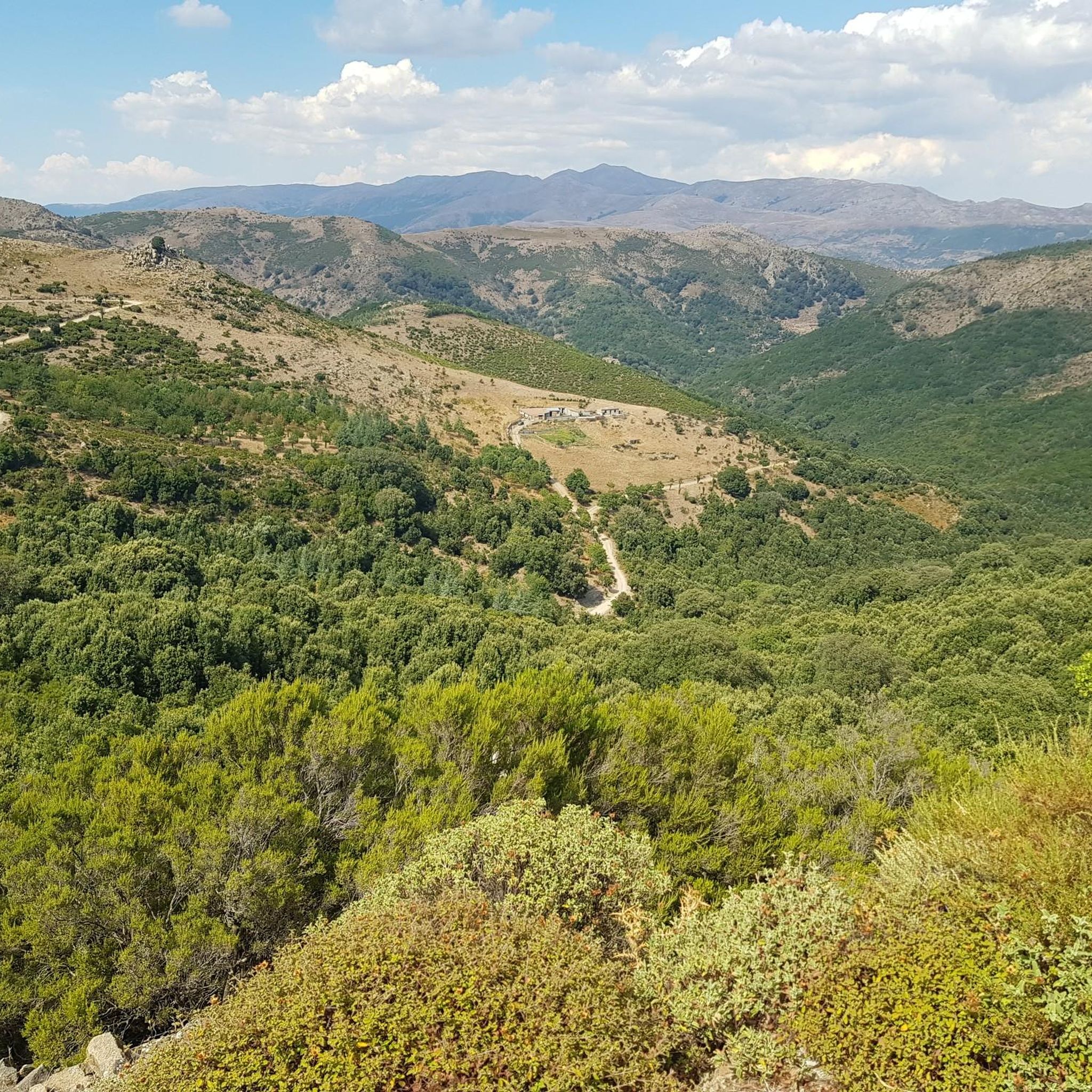
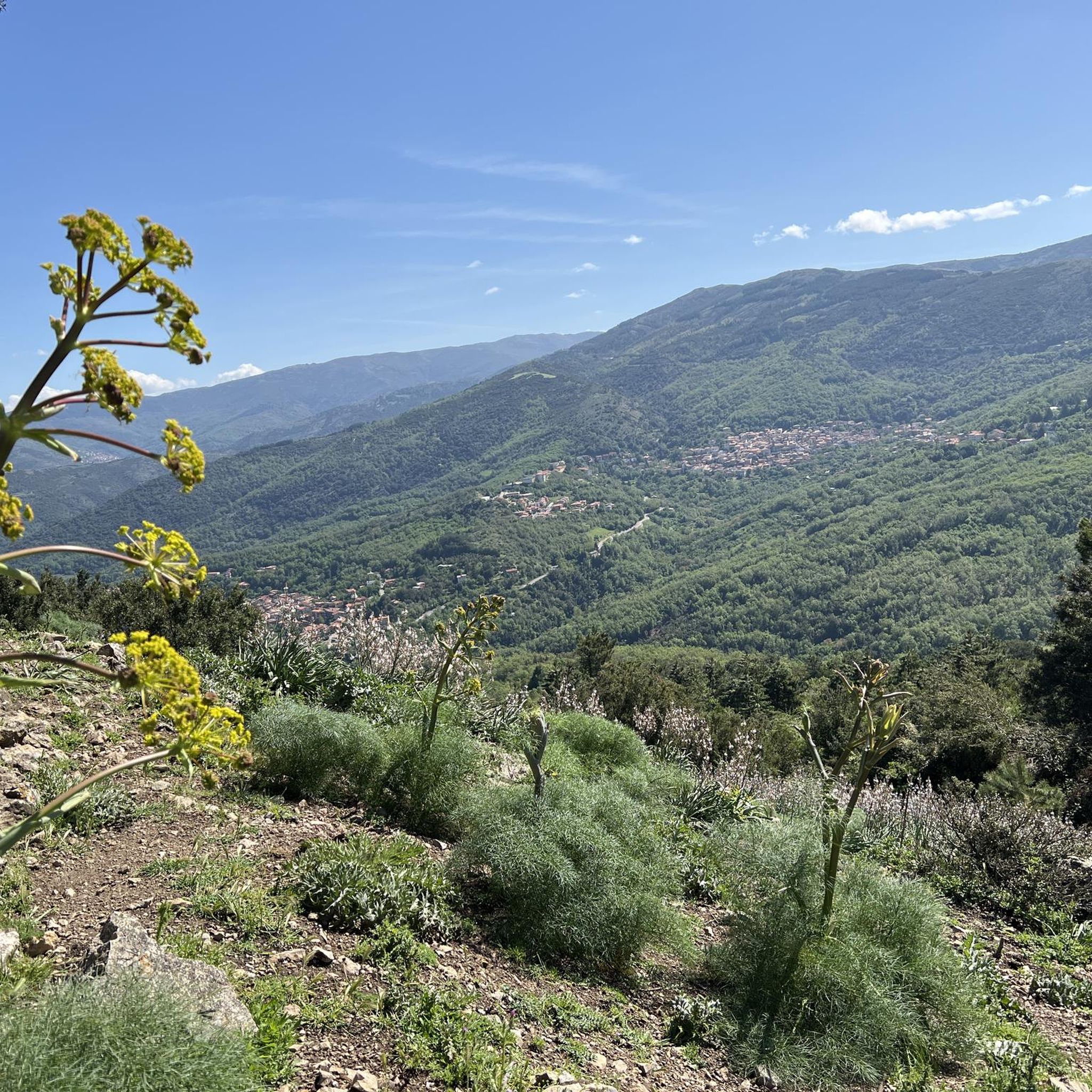
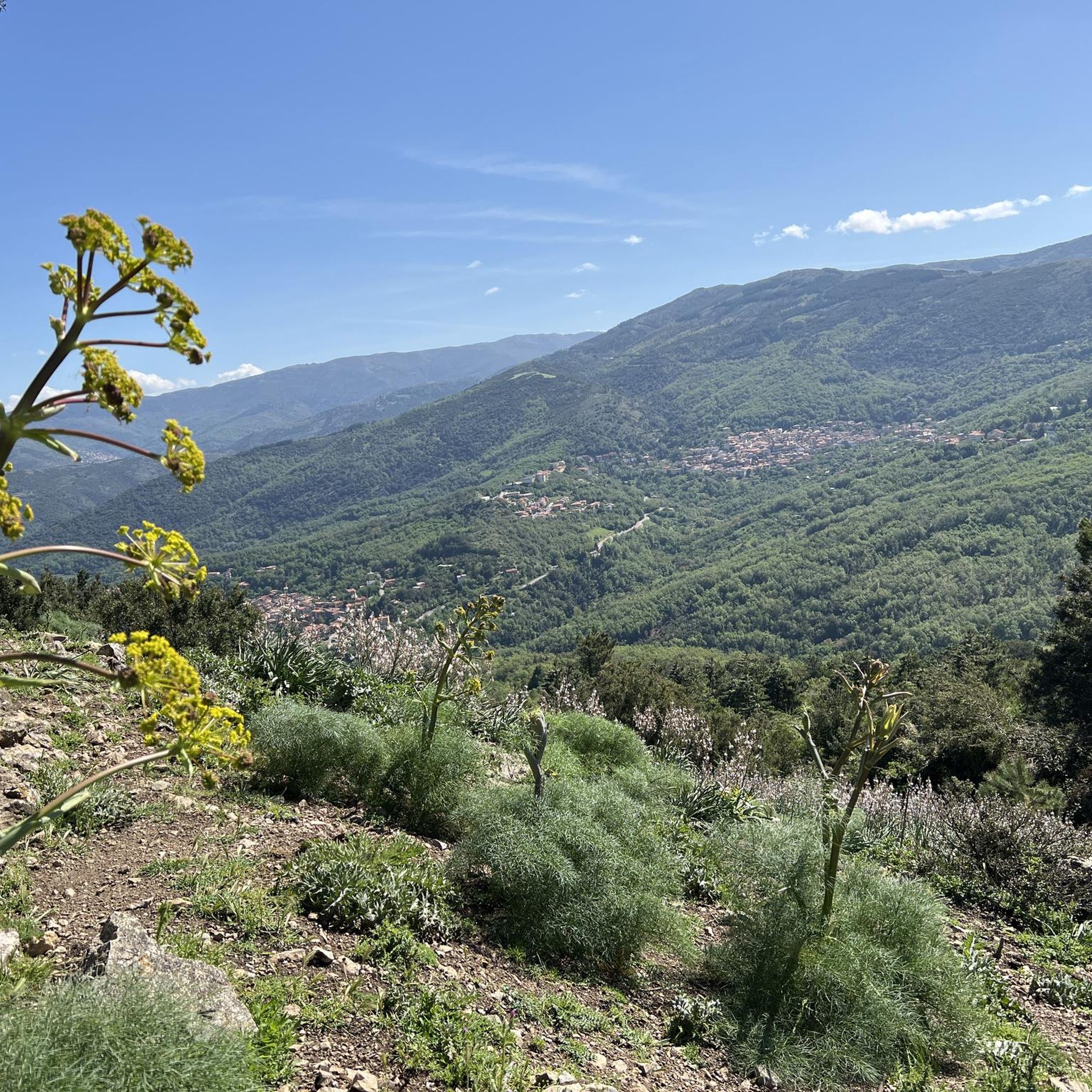
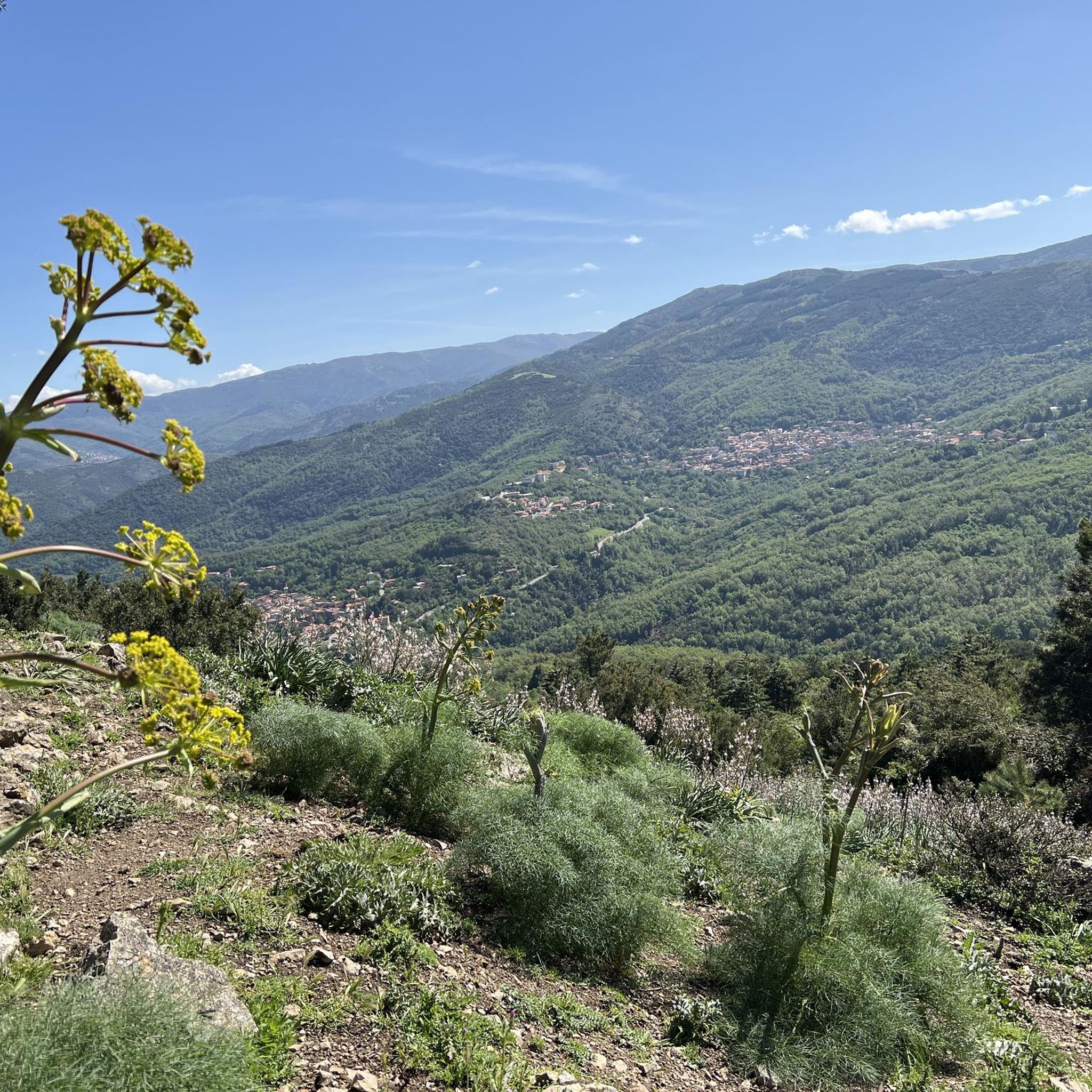
The Monti del Gennargentu form the highest mountain range in Sardinia and the "roof of the island". It is located in the heart of Barbagia. The rugged, rocky mountain world is home to Punta La Marmora (1,834 m), the highest peak in Sardinia, as well as historical Nuragic villages, and offers fantastic hiking opportunities.
1
0
The Monti del Gennargentu form Sardinia's highest mountain range and the "Roof of the Island". It is located in the heart of Barbagia. The rugged, rocky mountain world is home to Punta La Marmora (1,834 m), Sardinia's highest peak, as well as historical Nuragic villages, and offers fantastic hiking opportunities.
1
0

Great view. Beautiful area.
2
0


At 1,834 meters, Punta La Marmora is the highest peak in the whole of Sardinia. It is located in the Gennargentu massif, between the municipalities of Arzana and Desulo, and is named after the general and scientist Alberto Ferrero della Marmora, who described the Sardinian island in two scientific-literary works.
2
0

It may not be obvious that Sardinia's highest mountain is crowned by an imposing summit cross, but it seems completely natural to the mountain hiker. A base made of natural stone from the surrounding area forms the lower level of this small sacred monument. A round column bears the Latin inscription "Ave Crux spes unica" (loosely translated "Hail [Holy] Cross, [our] only hope") and continues further up - almost seamlessly - into the longitudinal beam of the cross. Like many other summit crosses, it is comparatively simple in its design and has no corpus, but is certainly dignified.
3
0

With an all-mountain mountain bike you can do almost everything on the bike, both uphill and downhill
1
0
Frequently Asked Questions
What kind of terrain can I expect on running trails around Aritzu/Aritzo?
The running trails in Aritzu/Aritzo are characterized by the rugged terrain of the Gennargentu Mountains. You can expect significant elevation changes, leading to high mountain passes and panoramic viewpoints. The routes are generally challenging, traversing mountainous landscapes.
Are there any easy or beginner-friendly jogging routes in Aritzu/Aritzo?
The jogging routes listed for Aritzu/Aritzo are all classified as difficult, featuring significant climbs and descents through mountainous terrain. There are no easy or moderate routes highlighted in this selection, making them more suitable for experienced runners.
What are some of the longer distance running trails available?
For those seeking longer distances, the region offers challenging routes like the Punta La Marmora Summit Cross – Summit of Punta La Marmora loop from Monti del Gennargentu, which spans over 25 miles (41 km). Another option is the View of Desulo – Genna 'e Crobu loop from Belvì-Aritzo, covering nearly 30 miles (47 km).
Can I find routes with scenic viewpoints in Aritzu/Aritzo?
Yes, the routes in Aritzu/Aritzo are known for their panoramic viewpoints. Trails often lead to high mountain passes offering expansive views across the Gennargentu range. For example, the Summit of Punta La Marmora and Mount Bruncu Spina are prominent natural monuments that offer stunning vistas.
Are there any waterfalls or natural attractions along the running paths?
Yes, the region boasts several beautiful natural attractions. You might encounter waterfalls such as Cascata Maggiore, Aymerich Park or Pirincanes Waterfall. The area also features gorges like Riu Calaresu in Gola di Pirincanes and the View of the Sa Pranedda Gorge.
What is the best season for running in the Gennargentu Mountains?
Spring and autumn are generally the most pleasant seasons for running in the Gennargentu Mountains, offering milder temperatures and vibrant landscapes. Summers can be very hot, especially at lower elevations, while winters can bring snow and icy conditions to the higher peaks, making some trails more challenging or inaccessible.
Are the jogging routes in Aritzu/Aritzo typically loop trails?
Many of the featured running routes in Aritzu/Aritzo are indeed loops, allowing you to start and finish at the same point. Examples include the Bruncu Spina - Punta La Marmora Loop and the Monte Brancu Spina — Loop in the Gennargentu Mountains.
What do other runners say about the trails in Aritzu/Aritzo?
Over 70 runners have explored the varied terrain of Aritzu/Aritzo using komoot. While specific ratings are not available, the routes are frequently chosen by those seeking demanding running experiences through high-altitude mountain scenery and rugged landscapes.
Are there any facilities like picnic areas along the routes?
Yes, you might find facilities such as a Picnic area with a beautiful view, which can be a great spot for a break or to enjoy the scenery during or after your run.
What kind of challenges should I expect on these running trails?
Given the mountainous nature of the region, you should expect significant challenges including steep ascents and descents, rocky paths, and potentially exposed sections. The routes are classified as difficult, requiring good physical condition and appropriate gear.
Are there any caves to explore near the running routes?
Yes, for those interested in exploring caves, the Grotta Is Janas is a notable natural monument in the vicinity of Aritzu/Aritzo, offering an interesting geological feature to discover.
Most popular attractions around Aritzu/Aritzo

Get inspired with the komoot mobile app


Explore more
Browse the best Running Trails & Routes in other regions.
