The best walks and hikes around Civitella D'Agliano
4.4
(794)
5,261
hikers
79
hikes
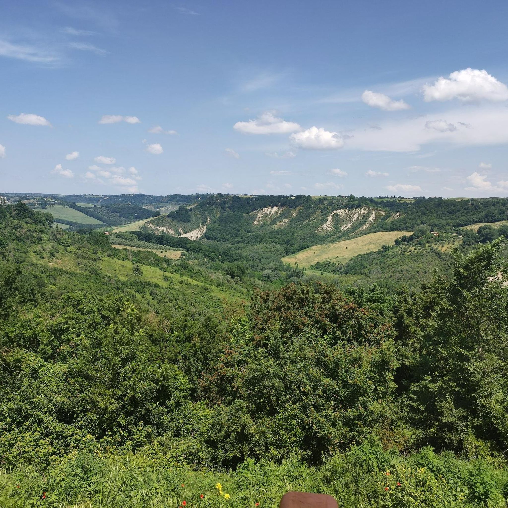
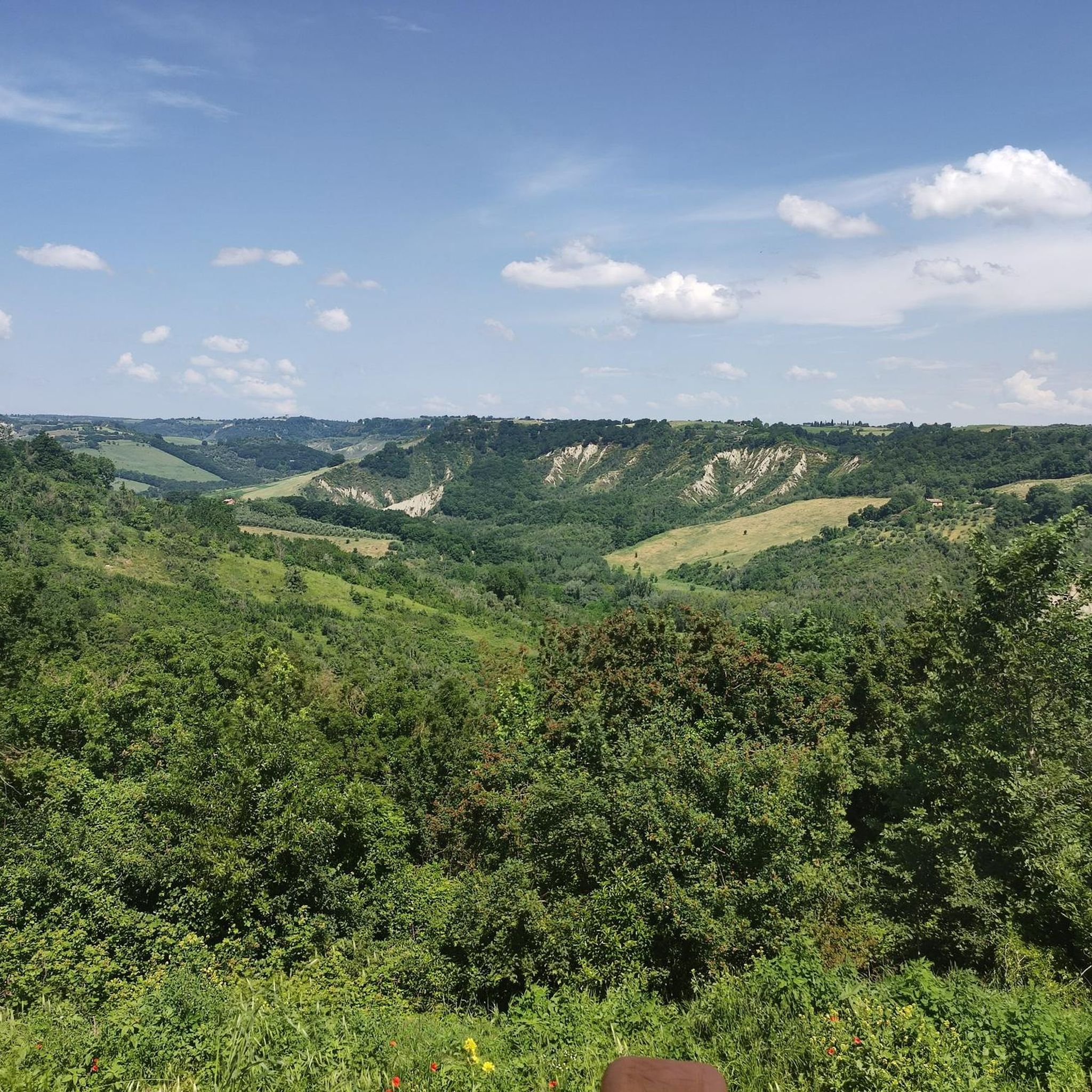
Hiking around Civitella D'Agliano offers exploration of a distinctive landscape characterized by tufa rock formations, rolling vineyards, and olive groves. The region features wooded slopes typical of the Tuscia area, with panoramic views of the Tiber Valley and distant Umbrian hills. Notable geological features include "calanchi," white clay formations creating unique terrain. The area also encompasses the Oasi del Lago di Alviano, a natural oasis.
Best hiking trails in Civitella D'Agliano
- The most popular hiking route is Murals of Sant'Angelo…
Last updated: August 4, 2026
2
hikers
12.5km
03:14
60m
60m
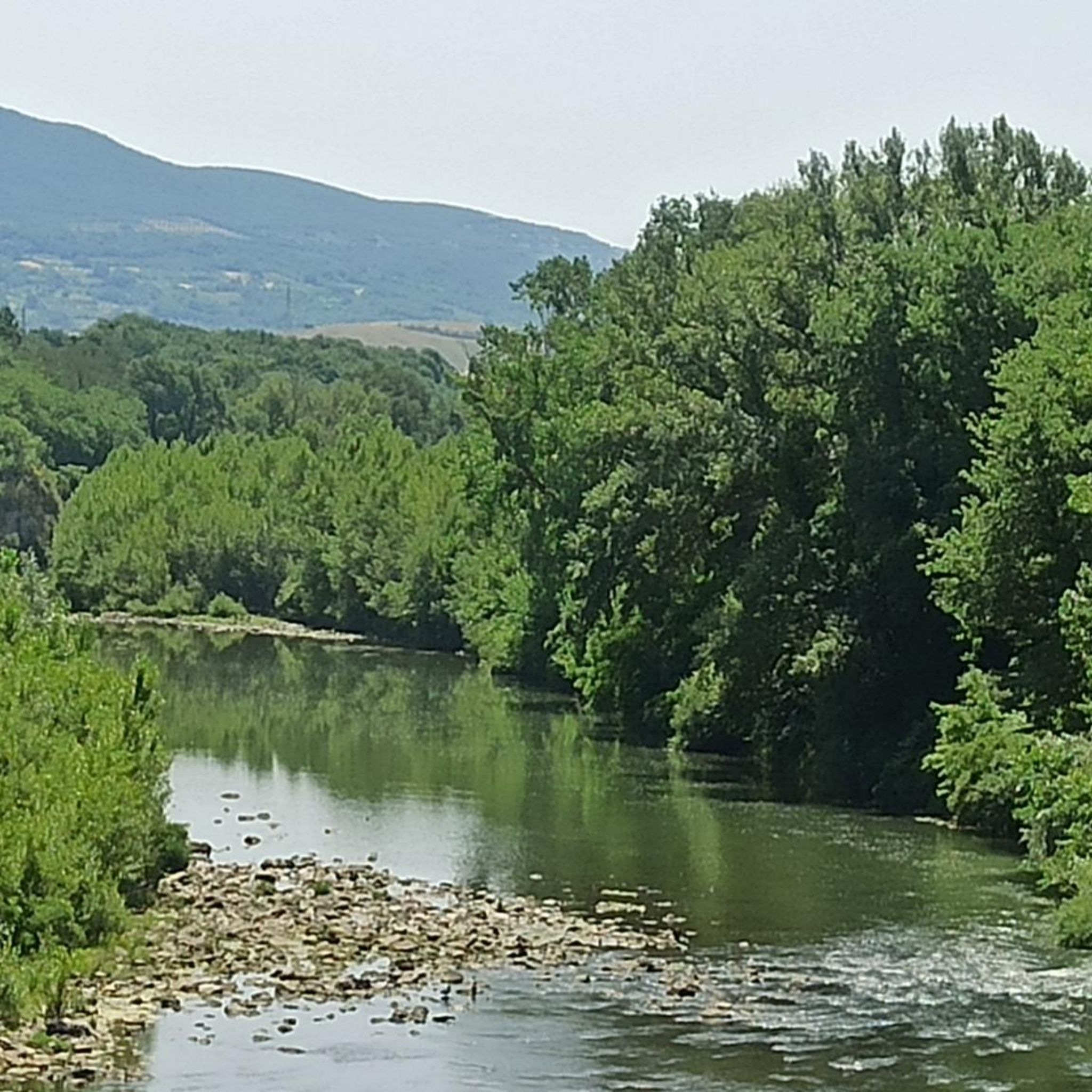
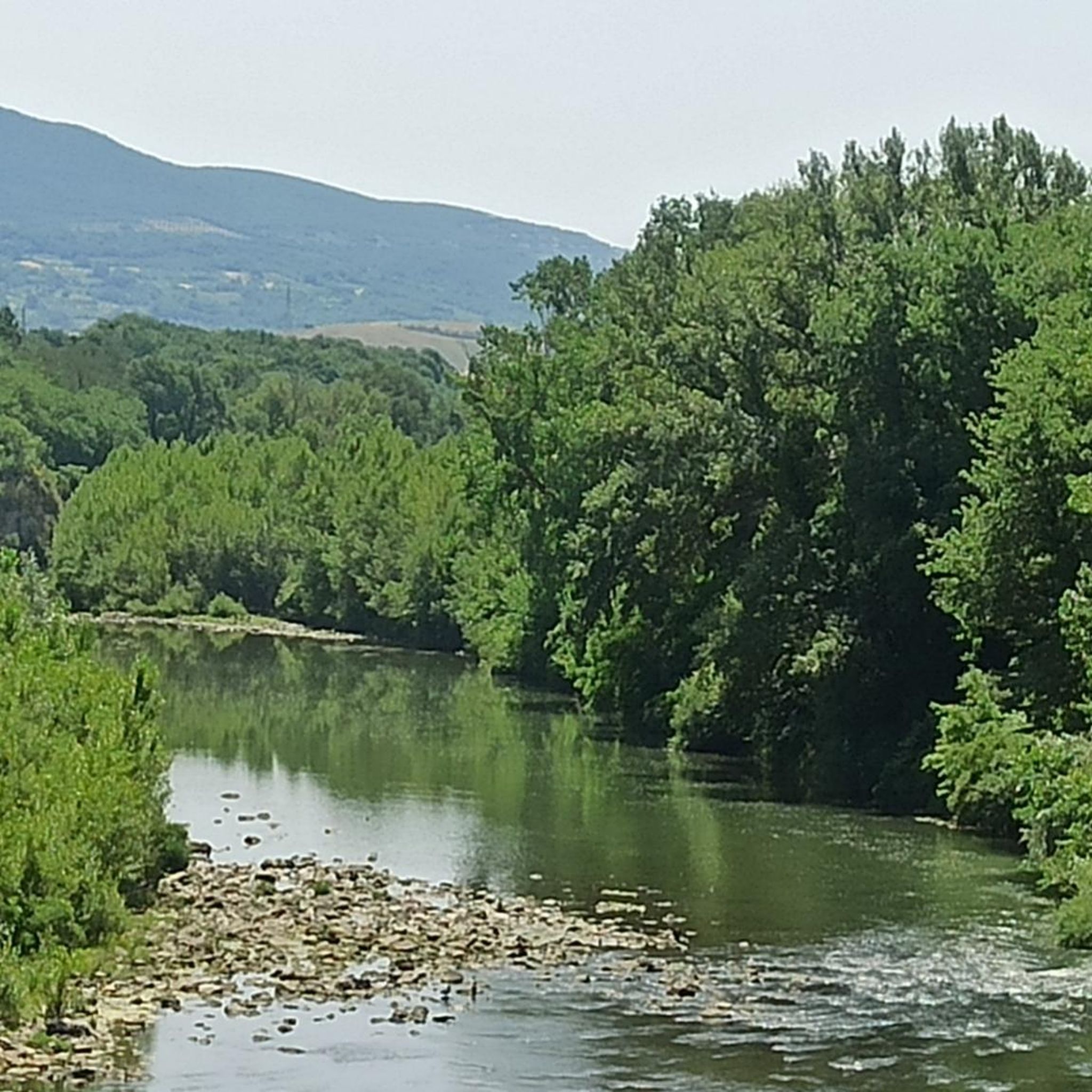
The Oasi del Lago di Alviano loop tour is a moderate 7.8-mile hike through a rich wetland, perfect for birdwatching and nature lovers.
4.5
(10)
67
hikers
Hard hike. Very good fitness required. Easily-accessible paths. Suitable for all skill levels.

Sign up for free
4.5
(6)
51
hikers
24.0km
07:10
750m
760m
Hard hike. Very good fitness required. Easily-accessible paths. Suitable for all skill levels.
4.8
(4)
20
hikers
10.4km
03:01
250m
250m
Moderate hike. Good fitness required. Easily-accessible paths. Suitable for all skill levels.
4.0
(4)
13
hikers
5.95km
01:32
30m
30m
Easy hike. Great for any fitness level. Easily-accessible paths. Suitable for all skill levels.
Get access to more routes and recommendations from other explorers.
Sign up for free
Already have an account?
Our route recommendations are based on thousands of hikes, rides, and runs completed by other people on komoot.
Start today with a free account
Your next adventure awaits.
Login or Signup
Tips from the Community

Castello Baglioni, built in the 13th century, is not located in a raised position and its mass emerges only for its grandeur. The village was originally inhabited by the families of the castle garrison and remained for a long time of limited size and enclosed within the fortification: still in the 19th century, according to cadastral records, it consisted of no more than thirty houses. To learn more 👇🏻 retedimorestorichelazio.it/dimora/vt/graffignano/castello-baglioni/ https://share.google/YpRf6kRfscjZSd4Ud
0
0

Past the old monastery, you arrive at the old hamlet. This elevated village had been depopulated since the 19th century and has become a veritable ruin due to erosion and earthquakes. It was completely abandoned in 1951. The Orsini Castle at the entrance to Celleno Antico is the most beautiful building in the hamlet. It boasts a large watchtower and is surrounded by a deep moat. It was recently restored and inhabited by the artist Enrico Castellani. This internationally renowned artist (he also studied in Brussels) died on December 1, 2017. In the old market square, you'll see a beautiful rectangular bell tower, three-tiered and made of tuff. Only the walls of the old church of San Carlo (17th century), to the left of the castle, remain. Near the market square is the church of San Donato, dating from the year 1000, in Romanesque style, with a beautiful basalt portal. IMG_1306
0
0

Easy parking, very nice bar at the start and finish. Panoramic views, ghost town and quiet forests.
0
0

The houses in the village are painted with fairy tale themed murals
0
0

According to the classic Castrum system, the town of Graffignano developed following the construction of the Castle, built in a strategic position to protect supplies, not only food, between Viterbo and Umbria. In the 13th century, the castle was entrusted to the care of the Baglioni family, already owners of Castel di Piero, now San Michele in Teverina, without however experiencing significant periods of prolonged tranquility: it changed hands several times until it was conquered by Pandolfo degli Anguillara, mayor of Viterbo; whose objective was to weaken the hated Orvietani. The Baglioni family was therefore forced to submit to Viterbo to safeguard their safety. In the first half of the 16th century, Pope Clement VII confiscated the fiefdom due to the continuous internal struggles of the Baglioni family, only to return it to them after a short period. In the seventeenth century the entire fiefdom was acquired by the Borromeo family, but less than a century later, the entire Graffignano, recently transformed into a principality, was sold to Scipione Publicola di Santacroce. In the Republican era the castle became part of the assets of the Municipality of Graffignano, which takes care of it. (c) https://discovertuscia.it/luoghi/graffignano-2/castello-baglioni-santacroce/
0
0

fabulously beautiful here, so many beautiful graffiti
3
0

I found a very small waterfall. It's artificial, but it's quietly hidden in a secluded spot, so please try to find it!
0
0
Castel Cellesi is situated 370 meters above sea level and has around 150 inhabitants. It looks more like a seaside port than a village in the Valteverina, and the facades of some houses are painted in different colors, sometimes bright and intense, and sometimes soft pastels. When the sky is clear, they create striking contrasts; it is like admiring a great rainbow stretching across the Valteverina.
0
0
Frequently Asked Questions
How many hiking trails are there in Civitella D'Agliano?
There are over 70 hiking trails around Civitella D'Agliano, offering a wide range of options from easy walks to more challenging routes. These trails explore the distinctive landscapes of the region.
What types of landscapes can I expect to see while hiking around Civitella D'Agliano?
Hikers can expect a diverse landscape characterized by tufa rock formations, rolling vineyards, and olive groves. The region features wooded slopes and offers panoramic views of the Tiber Valley and distant Umbrian hills. A particularly striking natural feature is the presence of "calanchi" – distinctive white clay formations that create a unique, almost lunar terrain in certain areas.
Are there easy hiking trails suitable for beginners in Civitella D'Agliano?
Yes, Civitella D'Agliano offers 26 easy hiking routes suitable for beginners or those looking for a relaxed walk. An example is the Oasi del Lago di Alviano loop from Madonna del Porto, which is a relatively flat path exploring the natural oasis.
What historical or natural landmarks can I explore on hikes near Civitella D'Agliano?
Many hikes in the area offer access to significant landmarks. You can explore the dramatic Historic village of Civita di Bagnoregio, known for its unique setting. Other points of interest include the Orvieto Cathedral and the Albornoz Fortress, which provide historical context to the region's natural beauty.
Are there any circular hiking routes available?
Yes, many of the trails around Civitella D'Agliano are circular, allowing you to start and end at the same point. For example, the Hiking loop from Castel Cellesi is a moderate 6.9-mile (11.2 km) route that takes you through wooded slopes and rural landscapes.
What is the best time of year to go hiking in Civitella D'Agliano?
The best time for hiking in Civitella D'Agliano is typically during spring (April to June) and autumn (September to October). During these seasons, the weather is mild, and the landscapes are particularly vibrant, with blooming wildflowers in spring and rich colors in autumn. Summer can be very hot, while winter can be cooler and potentially rainy.
Can I bring my dog on the hiking trails?
Many trails in the Civitella D'Agliano region are dog-friendly, especially those through rural landscapes and wooded areas. However, it's always advisable to keep your dog on a leash, particularly near agricultural areas or protected natural zones like the Oasi del Lago di Alviano, and to check specific trail regulations if available.
Are there any moderate or difficult hikes for experienced hikers?
Yes, for experienced hikers, there are 28 moderate and 17 difficult routes. An example of a challenging route is the Hiking loop from Castiglione in Teverina, a difficult 14.9-mile (24.0 km) path offering extensive views of the Tiber Valley and surrounding hills.
What do other hikers enjoy the most about hiking in Civitella D'Agliano?
The area is highly rated by the komoot community, with an average score of 4.4 stars from over 700 reviews. Hikers often praise the diverse landscapes, from the unique "calanchi" formations to the panoramic views over the Tiber Valley, and the opportunity to explore charming medieval villages and historical sites along the routes.
Are there opportunities for wild swimming near hiking trails?
While the Oasi del Lago di Alviano is a natural oasis, it is primarily a protected area for wildlife, and wild swimming is generally not permitted. For specific information on swimming spots, it's best to consult local tourist information or guides, as conditions and regulations can vary.
Where can I find parking for hiking trails in Civitella D'Agliano?
Parking is generally available in or near the starting points of many trails, especially in the villages like Civitella D'Agliano, Castel Cellesi, or Castiglione in Teverina. It's recommended to check specific route details or local signage upon arrival for the most convenient parking options.
Can I access hiking trails using public transport?
Public transport options in the immediate vicinity of Civitella D'Agliano can be limited, especially for reaching specific trailheads. While some larger towns in the region may have bus or train connections, accessing more remote hiking starting points often requires a car. Planning your route in advance and checking local bus schedules is advisable.
Most popular routes around Civitella D'Agliano
Most popular attractions around Civitella D'Agliano

Get inspired with the komoot mobile app


Explore more
Browse the best Hikes in other regions.
