The best MTB trails around Montebuono
4.5
(43)
302
riders
51
rides
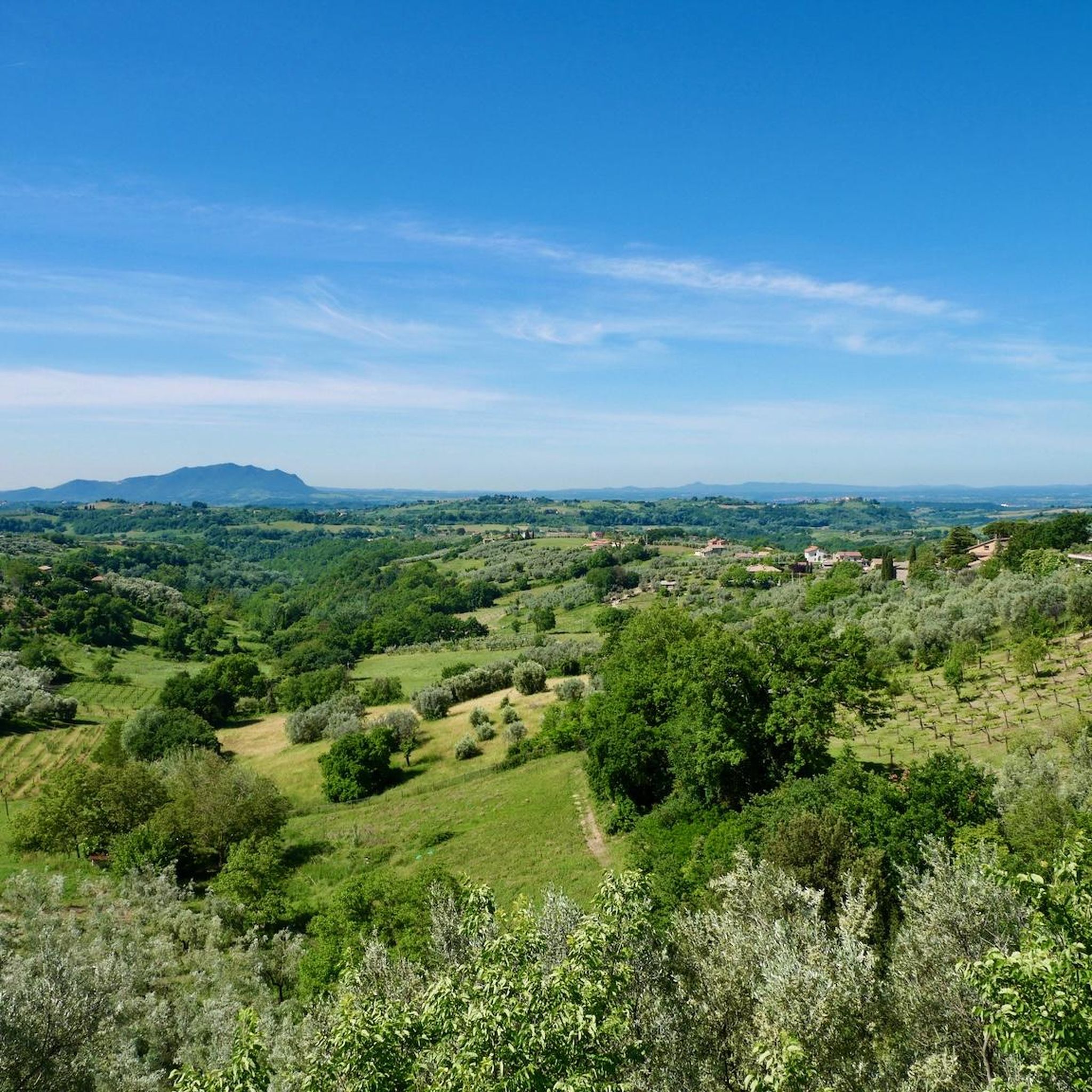
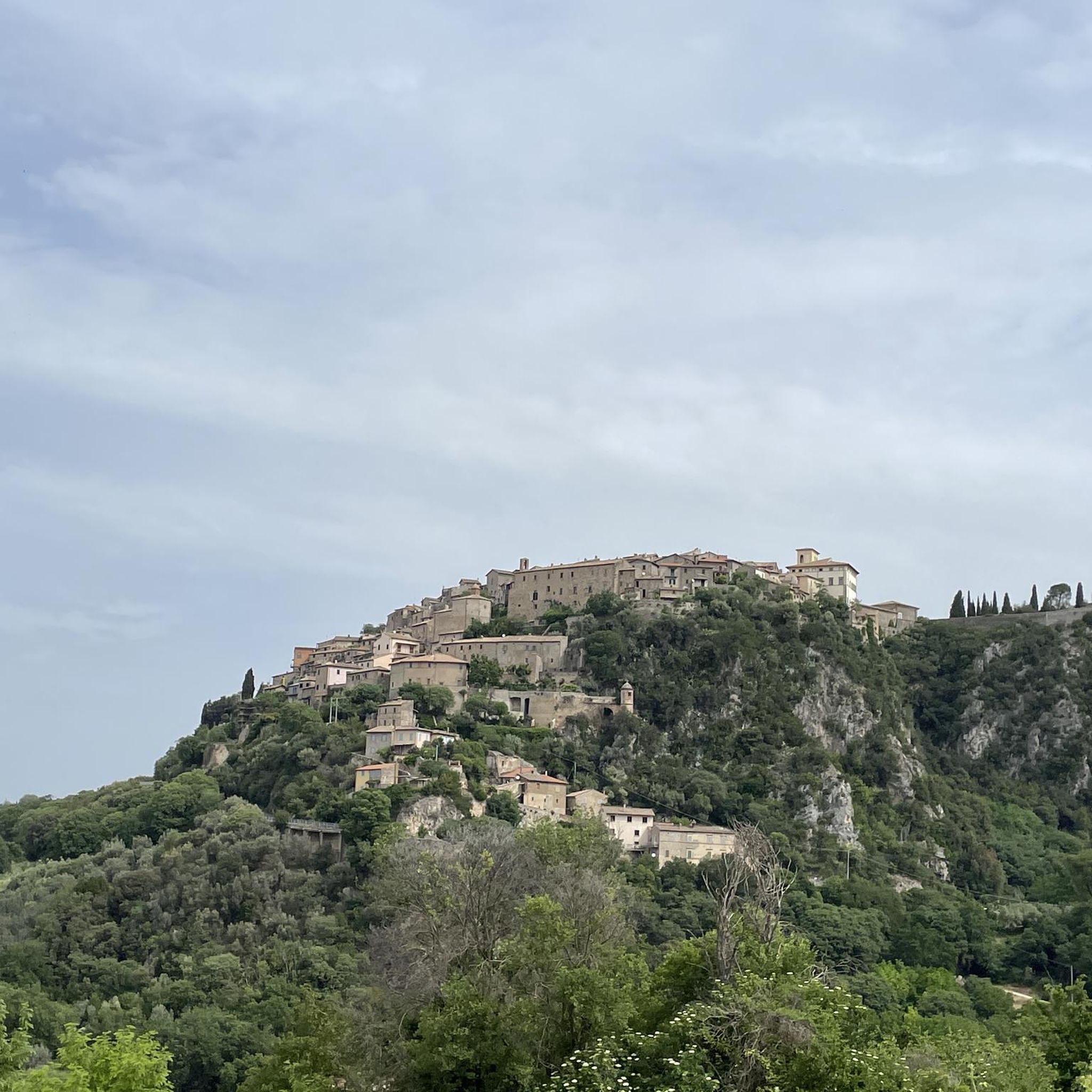
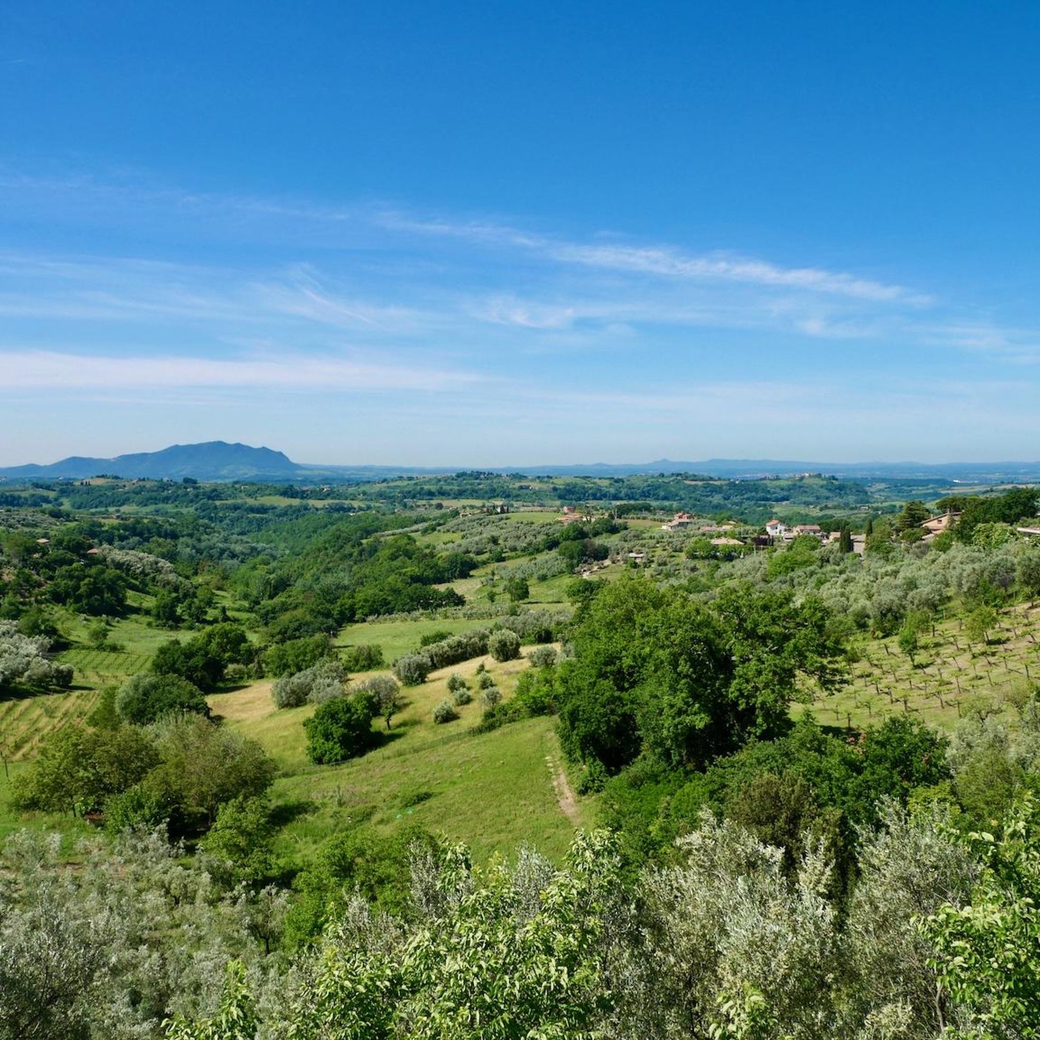
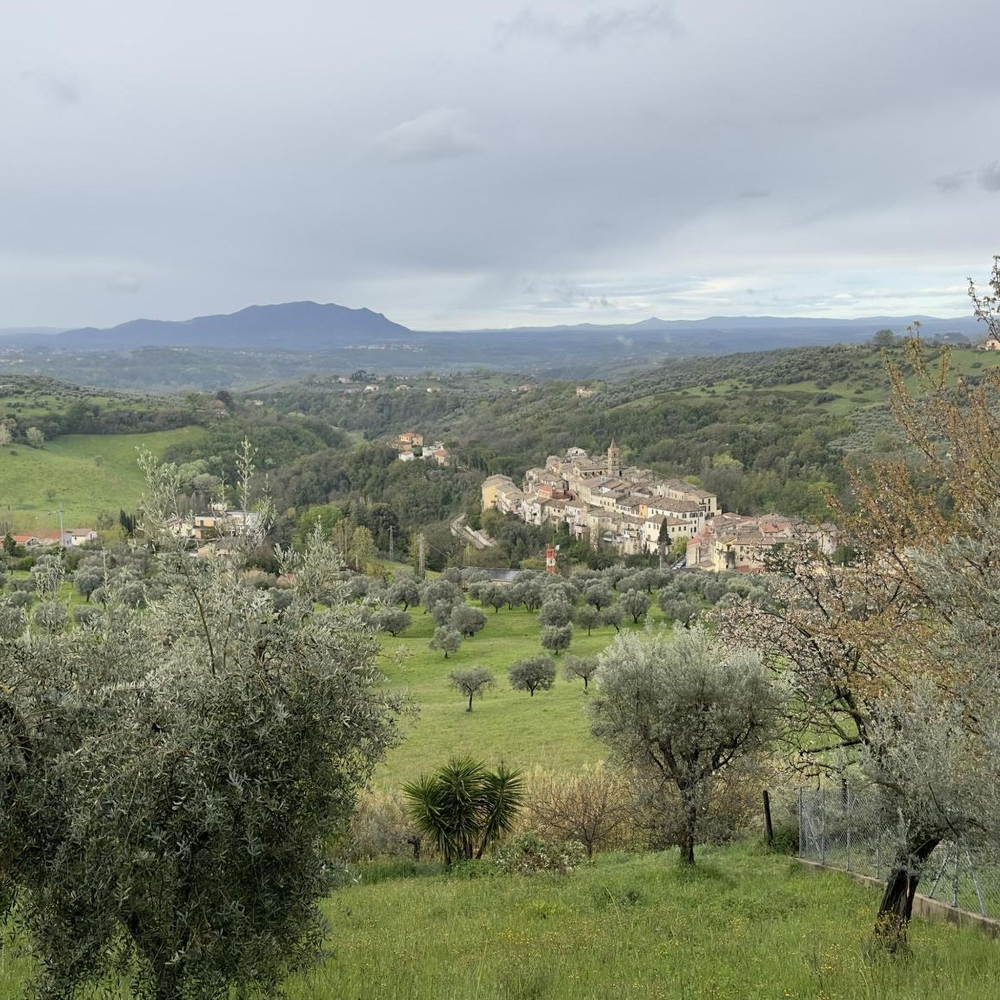
Mountain biking around Montebuono offers a diverse landscape characterized by rolling hills, dense woodlands, and historic sites. The region features varied terrain, from challenging climbs in the Monti Sabini to more moderate paths through agricultural areas. Riders can expect a mix of natural trails and old country roads, providing a range of experiences for different skill levels. This area is known for its scenic views and tranquil atmosphere, making it suitable for those seeking both adventure and peaceful rides.
Best…
Last updated: October 24, 2026
4.0
(3)
17
riders
34.7km
03:40
1,070m
1,070m
Hard mountain bike ride. Very good fitness required. Advanced riding skills necessary. Some portions of the route may require you to push your bike.
5.0
(1)
33
riders
Moderate mountain bike ride. Good fitness required.

5.0
(1)
17
riders
Hard mountain bike ride. Good fitness required. Advanced riding skills necessary. Some portions of the route may require you to push your bike.
5.0
(1)
15
riders
Hard mountain bike ride. Very good fitness required. Advanced riding skills necessary. Some portions of the route may require you to push your bike.
15
riders
38.9km
03:38
1,060m
1,060m
Hard mountain bike ride. Very good fitness required.
Get access to more routes and recommendations from other explorers.
Already have an account?
Our route recommendations are based on thousands of hikes, rides, and runs completed by other people on komoot.
Start today with a free account
Your next adventure awaits.

Tips from the Community

An open-air museum, recommended
1
0

This stretch of dirt road offers a unique view of Mount Soratte, which resembles the cone of a volcano. From spring until early summer, the fields fill with poppies, making the landscape even more captivating.
2
0
This is one of several tunnels that characterize Mount Soratte. The others are within the bunker system. Although short, it's a good idea to carry a torch to get through it.
2
0

The waterfall was built to feed a canal, probably built by the populations that lived in this area even before the arrival of the Romans (at least the 5th century BC) and later, in the 1940s, the same canal fed a hydroelectric plant, now decommissioned. Currently, the canal is passable on foot (or by mountain bike) and connects the waterfall to the gorge below the town of Corchiano. The entire route, without difficulties, lasts about thirty minutes.
0
0

The Roman bridge probably dates back to the 3rd century AD and is part of an area rich in historical evidence, including Etruscan cave roads and Faliscan necropolises. The bridge is located within the Natural Monument of the Forre di Corchiano, a protected area designated by the Lazio Region in 2008. This area is characterized by a rich biodiversity and a unique landscape formed by the gorges dug into the tuff.
0
0
The waterfall is located in an area known as “Orto del Sambuco”, along the course of the Rio Fratta. This place is characterized by a small grassy plain where the Rio Fratta creates a suggestive waterfall. In the immediate vicinity there is also an ancient Roman humpback bridge, adding a historical element to the natural landscape
0
0

Panoramic walk with an exhibition of military vehicles.
0
0
Short panoramic walk with an exhibition of military vehicles.
0
0
Frequently Asked Questions
How many mountain bike trails are available around Montebuono?
There are over 50 mountain bike trails in the Montebuono area, offering a diverse range of experiences for different skill levels.
Are there mountain bike trails suitable for beginners in Montebuono?
Yes, Montebuono offers a few easier routes. There are 2 easy trails, often found on less challenging terrain through agricultural areas, providing a good starting point for new riders.
What kind of challenges can advanced mountain bikers expect in Montebuono?
Advanced riders will find 22 difficult trails, particularly in the Monti Sabini, which feature challenging climbs and technical sections. Routes like I Prati di Cottanello ed i Prati di Stroncone nei Monti Sabini — giro ad anello offer significant elevation gains and demanding terrain.
Are there any loop mountain bike trails in Montebuono?
Yes, many of the mountain bike trails around Montebuono are loop routes, allowing you to start and finish in the same location. Examples include the popular View of Monte Soratte – Strada Vecchia Amerina loop from Civita Castellana-Magliano and Monte Soratte Bunker – Hermitage of Saint Sylvester loop from Civita Castellana-Magliano.
What are the typical lengths and durations of mountain bike trails in Montebuono?
Trail lengths vary significantly. Moderate routes can be around 31 miles (50 km) and take approximately 4 hours, while more difficult trails, such as San Cataldo Hermitage – Hermitage of San Cataldo loop from Casperia, can be around 24 miles (38 km) and take over 3.5 hours to complete.
What do other mountain bikers enjoy most about mountain biking in Montebuono?
The area is highly rated by the komoot community, with an average score of 4.5 stars from nearly 40 reviews. Riders often praise the diverse landscape, scenic views, and tranquil atmosphere, noting the mix of natural trails and old country roads.
Are there any interesting historical sites or viewpoints along the mountain bike trails?
Yes, the region is rich in historical landmarks and offers scenic viewpoints. You can find attractions like the The Saint's Hermitage, the Roman Theatre of Ocriculum, and the Village of Roccantica. Some routes, like the View of Monte Soratte – Strada Vecchia Amerina loop, are specifically known for expansive views.
What is the best time of year for mountain biking in Montebuono?
The region's climate generally allows for mountain biking through much of the year. Spring and autumn offer pleasant temperatures and vibrant scenery. While winter conditions can vary, some trails may be accessible, but it's always advisable to check local weather and trail conditions.
Are there any mountain bike trails that pass by cafes or places to stop for refreshments?
While specific cafes directly on every trail are not guaranteed, many routes pass through or near small villages and towns where you can find local eateries and cafes. Planning your route with komoot allows you to identify such points of interest along the way.
Are there family-friendly mountain bike trails in Montebuono?
Yes, among the over 50 trails, there are a few easier routes that are more suitable for families or those looking for a less strenuous ride. These trails typically traverse agricultural areas or less challenging terrain, offering a pleasant experience for all.
Is parking available at the trailheads for mountain biking in Montebuono?
Parking availability varies by trailhead. Many routes start from or pass through towns and villages where public parking is often available. It is recommended to check the specific route details on komoot for information on parking at the starting point of your chosen trail.
Can I reach mountain bike trails in Montebuono using public transport?
Access to trailheads by public transport can be limited in some of the more rural areas around Montebuono. However, larger towns near the region may have bus or train connections. For specific routes, it's best to research local public transport options to the nearest town or village.
Most popular attractions around Montebuono

Get inspired with the komoot mobile app


Explore more
Browse the best MTB trails in other regions.
