The best MTB trails around Attigliano
4.4
(140)
740
riders
82
rides
Mountain biking around Attigliano offers routes through the undulating hills and agricultural landscapes of Umbria, often referred to as the "Green Heart of Italy." The region is characterized by fertile hillocks adorned with olive trees and vineyards, providing a scenic backdrop for rides. Many trails feature views over the Tiber Valley, with the river flowing below, bordered by unspoiled woods of oaks and holm oaks. This terrain provides varied cycling experiences, from leisurely rides to more challenging routes traversing rolling…
Last updated: October 24, 2026
4.7
(3)
49
riders
40.5km
03:17
750m
750m
Moderate mountain bike ride. Good fitness required.
4.0
(4)
28
riders
34.2km
02:52
590m
590m
Moderate mountain bike ride. Good fitness required. Advanced riding skills necessary.

12
riders
49.5km
04:33
1,110m
1,110m
Hard mountain bike ride. Very good fitness required. Advanced riding skills necessary.
5.0
(1)
8
riders
34.2km
03:05
750m
750m
Moderate mountain bike ride. Good fitness required.
1.0
(1)
6
riders
Moderate mountain bike ride. Good fitness required. Advanced riding skills necessary.
Get access to more routes and recommendations from other explorers.
Already have an account?
Our route recommendations are based on thousands of hikes, rides, and runs completed by other people on komoot.
Start today with a free account
Your next adventure awaits.
Popular around Attigliano
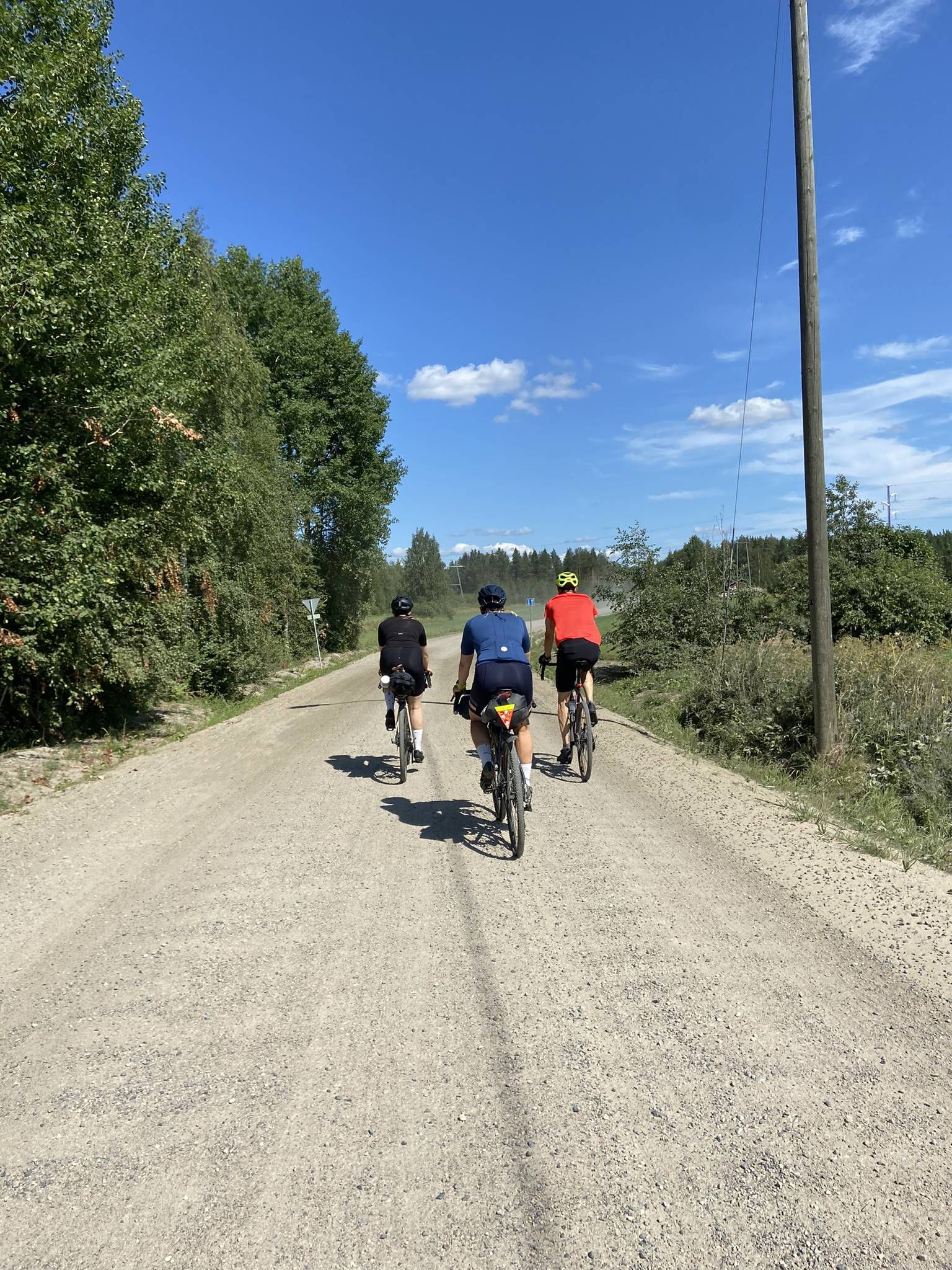
Naples to North Cape — Two friends, one purpose and many scoops of ice-cream
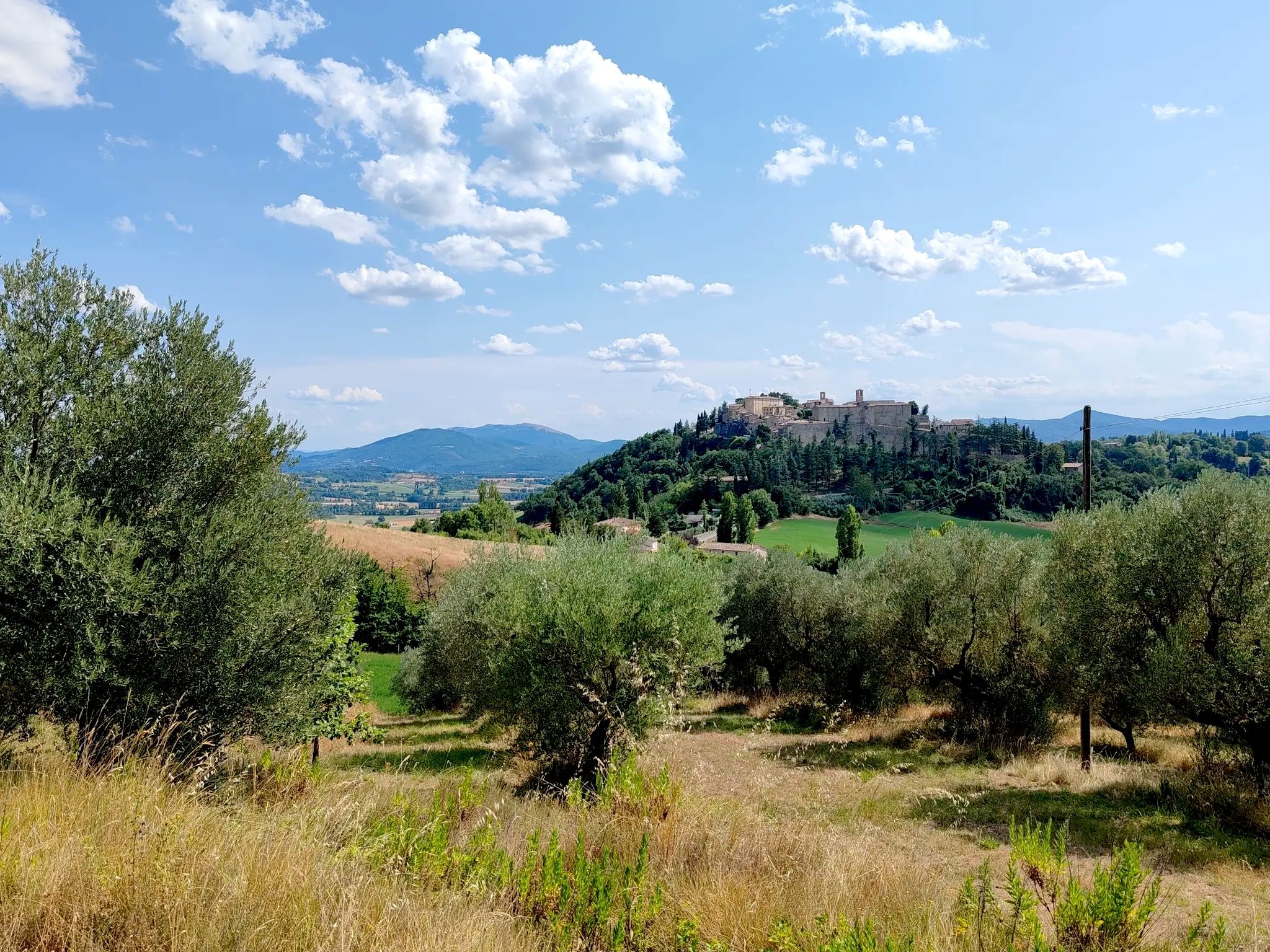
Day rides in the heart of Umbria – a Journey through History
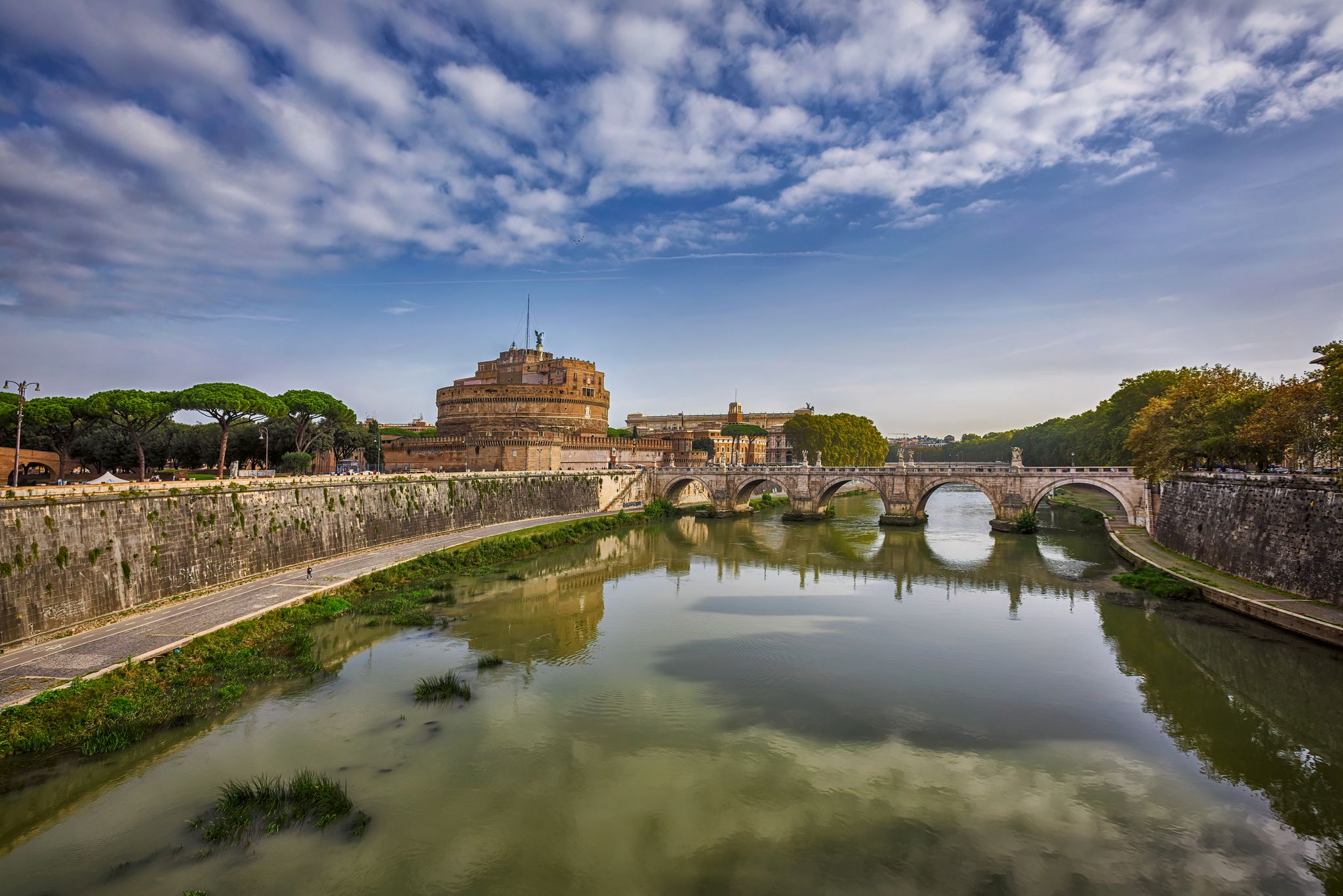
All roads lead to Rome – Romea Tiberina Cycleway
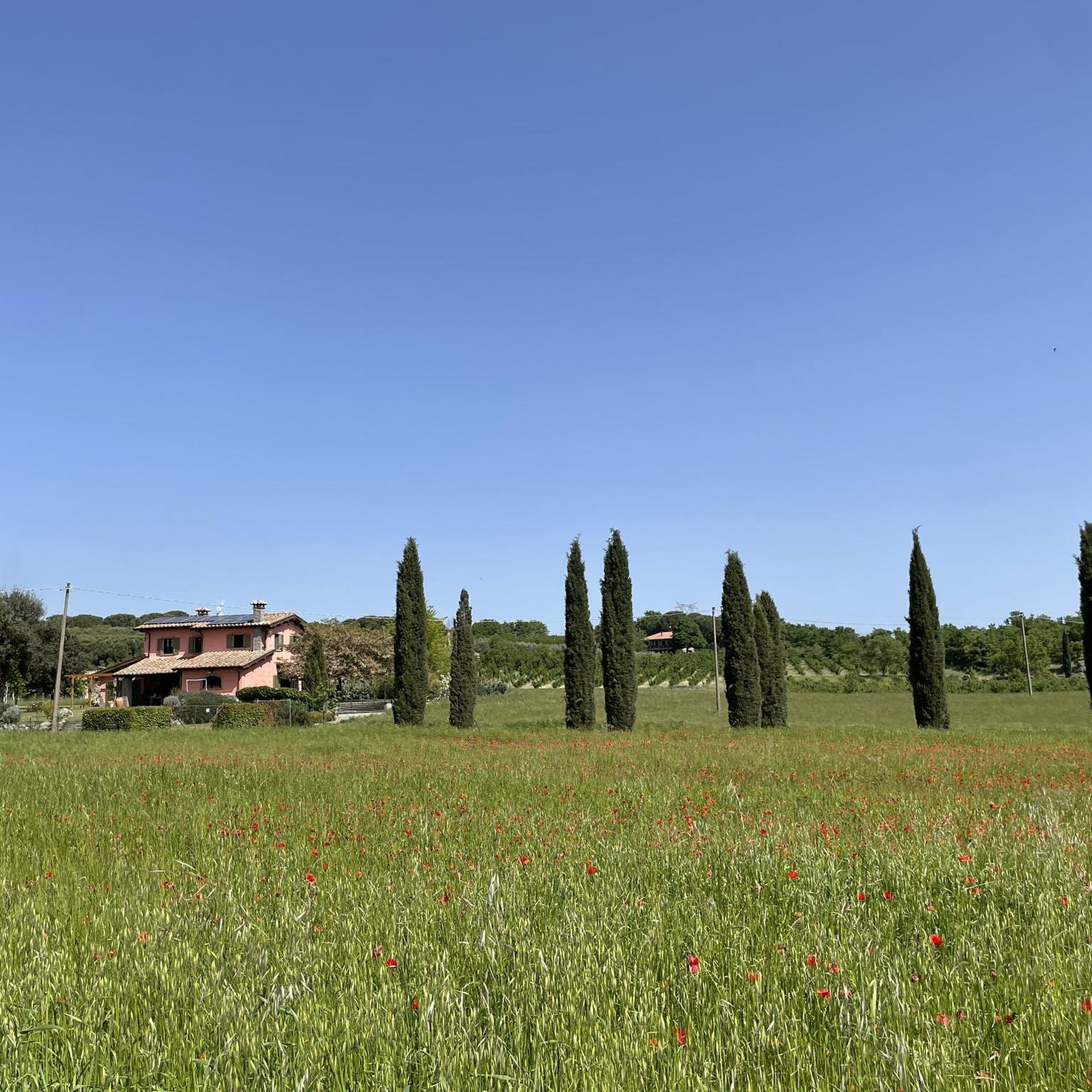
Hiking around Attigliano
Cycling around Attigliano
Road Cycling Routes around Attigliano
Running Trails around Attigliano

Gravel biking around Attigliano
Other adventures around Attigliano


Tips from the Community

The polygonal walls of Amelia, an extraordinary testament to the ancient civilizations of central Italy. From their pre-Roman origins to later centuries, large limestone blocks still tell of the mastery of ancient builders. They are built with enormous limestone blocks fitted together dry, without mortar. The wall measures more than two kilometers and in places exceeds six meters in height. The dating is debated, but a large part of the great wall is placed between the 4th and 3rd centuries BC. Near Porta della Valle, you can also notice older megalithic sections, not to be confused with the later polygonal wall.
0
0

Sweet, but also makes you think about tourism. How much can you sell yourself, when does privacy begin? But, a beautiful village!
0
0
The Church of the Madonna del Perugino is a small place of worship in Giove, born from a local tradition linked to a supposedly miraculous image of the Madonna. According to the panel, in 1458 Francesco Caffaroli from Perugia painted the image on a village door; in 1749 the chapel was rebuilt by the citizens, then enriched with frescoes and restored in 1879. Essentially, it is a devotional building deeply linked to the history and identity of the community of Giove.
0
0
The Rio Grande Basin is located about two kilometers from Amelia, nestled in the Monti Amerini area. The Rio Grande is a stream flowing into the Tiber, and the area is described as an urban river park and a site of naturalistic and landscape interest. Its historical importance depends mainly on two dams: the upstream dam, called Para, which formed the Lago Vecchio (Old Lake), and the downstream dam, called dei Finestroni or Ponte Grande. For centuries, this hydraulic system has guaranteed a water reserve for the territory and has powered mills for grinding oil and grain, still remembered along the course of the basin.
0
0

Splendid medieval village. The beautiful alleys are worth a visit
1
0
A tiny village, with very narrow streets. One of my favorites
0
0

This palace-castle stands on the ruins of a temple dedicated to Jupiter Elicius, hence its name. The first traces of construction date back to the 12th century, and the structure has been modified and remodeled over time. Visits to the interior are available by sending a request to the association that manages it: castellogiove@gmail.com.
2
0
Frequently Asked Questions
How many mountain bike trails are available around Attigliano?
There are over 70 mountain bike trails in the Attigliano area, offering a wide range of options for different skill levels. The komoot community has explored these routes over 700 times.
What kind of terrain can I expect on mountain bike trails near Attigliano?
The terrain around Attigliano is characterized by undulating hills and agricultural landscapes, including fertile hillocks adorned with olive trees and vineyards. Many trails offer scenic views over the Tiber Valley, with the river flowing below, bordered by unspoiled woods of oaks and holm oaks. You'll find a mix of surfaces suitable for varied cycling experiences.
Are there mountain bike trails suitable for beginners in Attigliano?
Yes, Attigliano offers several easy mountain bike trails. For example, the Calanchi of Alviano loop from Attigliano-Bomarzo is an easy 33.3 km route that takes around 1 hour 50 minutes to complete, providing a gentle introduction to the region's landscapes.
Are there any challenging mountain bike routes for experienced riders?
While many routes are moderate, there are 20 difficult mountain bike trails available for experienced riders seeking more challenging terrain and climbs. These routes often feature greater elevation changes and more technical sections.
Can I find circular mountain bike routes in the Attigliano area?
Yes, many of the mountain bike routes around Attigliano are circular. For instance, the Vitorchiano – Corviano Waterfall and Ford loop from Attigliano-Bomarzo is a popular 41.2 km circular trail, and the Fountain on the Trail loop from Giove is another moderate circular option.
What historical landmarks or points of interest can I explore while mountain biking?
The Attigliano area is rich in history. You can explore sites like the Etruscan Pyramid of Bomarzo, the Sacro Bosco (Park of the Monsters) in Bomarzo, or the Historic Center of Orte. The region's ancient villages and country houses also offer a unique historical dimension to your rides.
Are there any waterfalls or significant natural features to see on the trails?
Yes, the region boasts beautiful natural features. You might encounter the Martelluzzo Waterfall or enjoy the scenic views over the Tiber Valley. The Vitorchiano – Corviano Waterfall and Ford loop from Attigliano-Bomarzo specifically highlights a waterfall along its path.
Is parking available for mountain bikers in Attigliano?
While specific dedicated mountain bike parking areas are not prominently advertised, Attigliano, as a village, typically offers public parking options. It's advisable to check local signage upon arrival for the most convenient spots, especially near the town center or trailheads.
How can I reach the mountain bike trails around Attigliano using public transport?
Attigliano has a train station, making it accessible by rail. From the station, you can often connect to local buses or start your ride directly from the village, as some trails, like the local 'Ring Trail,' begin from Piazza Vittorio Emanuele II.
Are the mountain bike trails around Attigliano suitable for families?
Yes, the region offers trails suitable for families, particularly the easier routes that traverse the gentler, more scenic countryside. These paths often wind through agricultural landscapes and offer a pleasant experience for riders of varying ages and skill levels.
Are dogs allowed on the mountain bike trails in Attigliano?
Generally, dogs are allowed on public trails in the Umbrian countryside, provided they are kept under control, especially in agricultural areas or near livestock. It's always best to check specific local regulations or park rules if you plan to ride through protected natural areas.
Where can I find refreshments or accommodation near the mountain bike trails?
Attigliano is a charming medieval village with local cafes, restaurants, and accommodation options. You'll find places to eat and stay within the village itself, and other nearby towns and agriturismi in the Umbrian countryside also offer hospitality for visitors.
What do other mountain bikers say about the trails in Attigliano?
The mountain bike routes in Attigliano are highly rated by the komoot community, with an average score of 4.5 stars from over 150 reviews. Mountain bikers often praise the varied terrain, scenic views over the Tiber Valley, and the opportunity to explore the 'Green Heart of Italy'.
Most popular attractions around Attigliano

Get inspired with the komoot mobile app


Explore more
Browse the best MTB trails in other regions.
