The best MTB trails around Graffignano
4.3
(125)
778
riders
99
rides
Mountain biking around Graffignano offers a diverse landscape characterized by rolling hills, historic villages, and natural features like waterfalls. The region, situated in central Italy, provides a mix of terrain, from open countryside to more wooded sections. Trails often connect ancient settlements and offer views of the surrounding agricultural land and valleys.
Best mountain bike trails around Graffignano
- The most popular mountain bike trail is Historic Village of Montecchio – towards Guardea loop from Sipicciano - San Nicola, a…
Last updated: October 24, 2026
18
riders
58.0km
05:03
1,470m
1,470m
Hard mountain bike ride. Very good fitness required. Advanced riding skills necessary.
4.7
(3)
49
riders
40.5km
03:17
750m
750m
Moderate mountain bike ride. Good fitness required.

12
riders
49.5km
04:33
1,110m
1,110m
Hard mountain bike ride. Very good fitness required. Advanced riding skills necessary.
7
riders
Hard mountain bike ride. Very good fitness required. Advanced riding skills necessary. Some portions of the route may require you to push your bike.
4.0
(2)
11
riders
60.9km
04:36
1,100m
1,100m
Hard mountain bike ride. Very good fitness required.
Get access to more routes and recommendations from other explorers.
Already have an account?
Our route recommendations are based on thousands of hikes, rides, and runs completed by other people on komoot.
Start today with a free account
Your next adventure awaits.

Tips from the Community

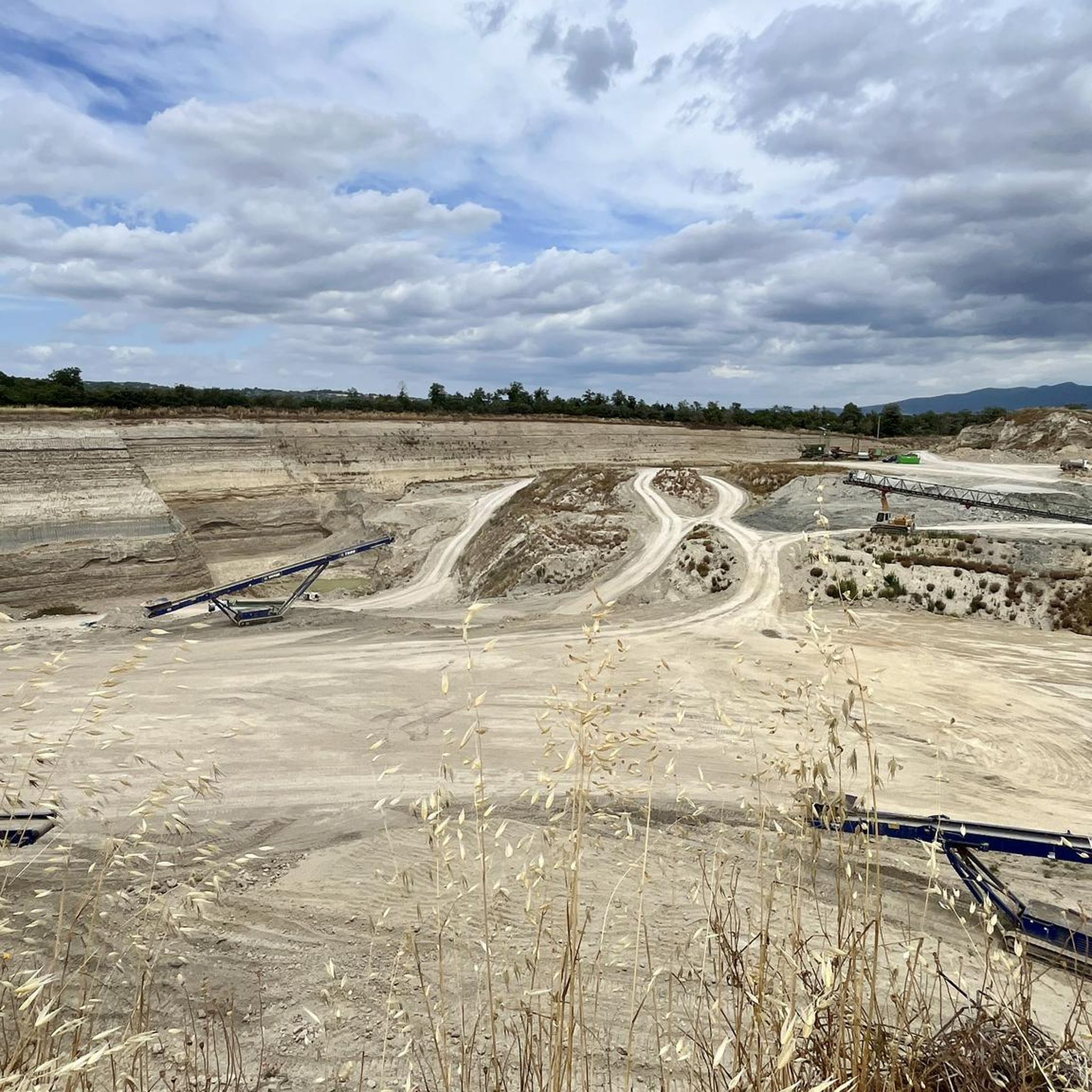
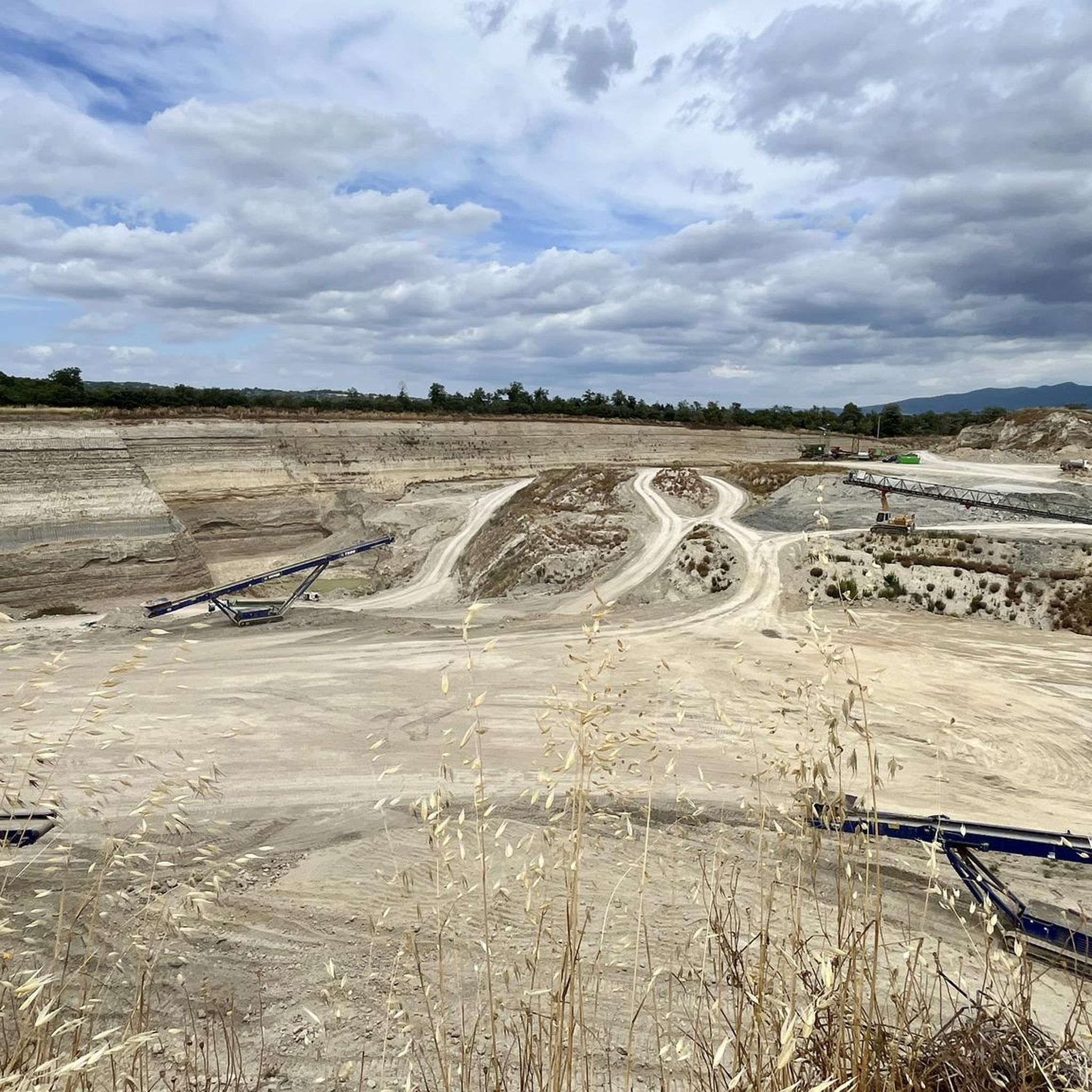
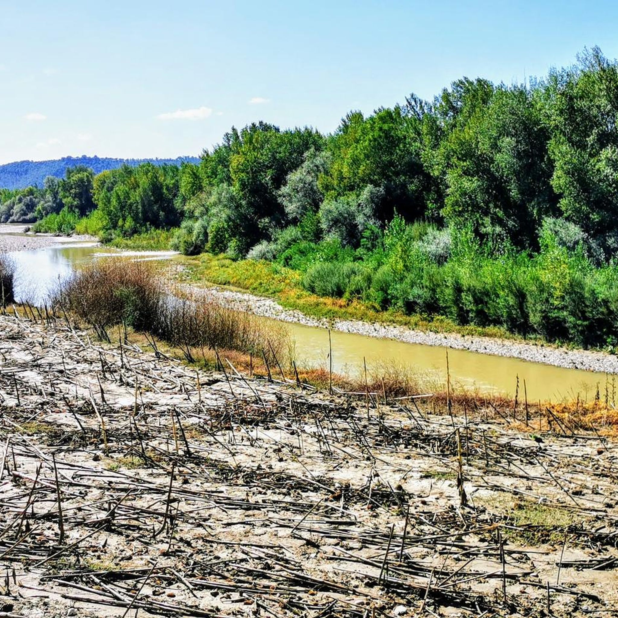
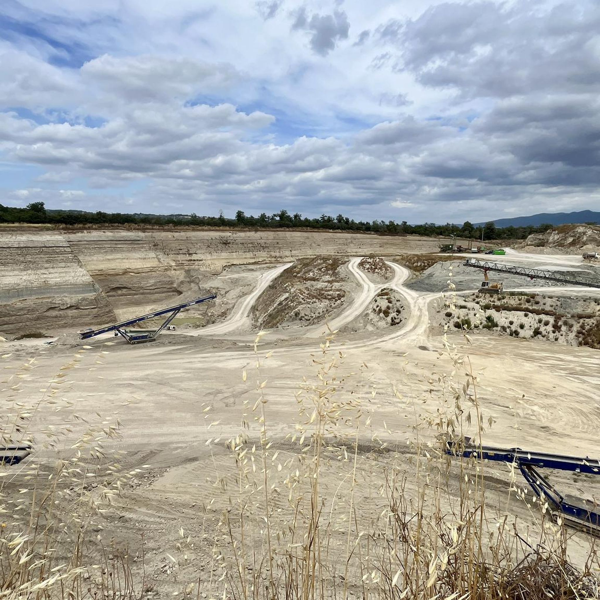
The Rio Grande Basin is located about two kilometers from Amelia, nestled in the Monti Amerini area. The Rio Grande is a stream flowing into the Tiber, and the area is described as an urban river park and a site of naturalistic and landscape interest. Its historical importance depends mainly on two dams: the upstream dam, called Para, which formed the Lago Vecchio (Old Lake), and the downstream dam, called dei Finestroni or Ponte Grande. For centuries, this hydraulic system has guaranteed a water reserve for the territory and has powered mills for grinding oil and grain, still remembered along the course of the basin.
0
0

Splendid medieval village. The beautiful alleys are worth a visit
1
0
A tiny village, with very narrow streets. One of my favorites
0
0

Gorgeous place! Too bad it takes so many rainy days to see any water!
0
0

villa surrounded by cypress trees in Amelia
0
0

Private but spectacular road
1
0

archaeological site immediately after the church, worth visiting
0
0
Frequently Asked Questions
What is the general difficulty level of mountain bike trails around Graffignano?
The mountain bike trails in the Graffignano area primarily cater to moderate to difficult skill levels. Out of 19 available routes, 13 are rated as moderate and 6 are considered difficult. There are no easy trails listed, so riders should be prepared for some challenging terrain.
Are there any mountain bike trails that feature waterfalls near Graffignano?
Yes, the region offers trails that explore natural waterfalls. For instance, the Corviano Waterfall and Ford – MTB Trail in ZSC Monte Cimino loop from Sipicciano-San Nicola is a difficult 39.9-mile (64.1 km) route that takes you through protected areas and past waterfalls.
Can I find circular mountain bike routes in Graffignano?
Many of the mountain bike routes around Graffignano are designed as loops, allowing you to start and finish in the same location. An example is the Mountainbike loop from Graffignano, a 24.4-mile (39.3 km) trail exploring the local countryside.
What kind of historical sites or landmarks can I see while mountain biking near Graffignano?
The trails often connect ancient settlements and offer views of historic villages. You can explore sites like the Historic village of Civita di Bagnoregio, the Necropolis of San Lorenzo, or the Chia Tower and Etruscan Cave. The View of Civita di Bagnoregio – Civita di Bagnoregio loop from Sipicciano route offers stunning vistas of this famous village.
Are there any mountain bike trails suitable for families with children?
Given that all 19 mountain bike routes around Graffignano are rated as moderate or difficult, there are no trails specifically designated as easy or family-friendly for younger children or beginner riders. These routes typically involve significant distances and elevation changes, making them more suitable for experienced riders.
What is the best time of year to go mountain biking in Graffignano?
The best time for mountain biking in Graffignano is generally during the spring (April-May) and autumn (September-October) months. During these periods, the weather is typically mild and pleasant, avoiding the intense heat of summer and the potentially muddy conditions of winter. The landscapes are also particularly beautiful with lush greenery or autumnal colors.
Are there any long-distance mountain bike routes around Graffignano?
Yes, several routes offer longer distances for more extensive rides. For example, the Toscolano Historic Village – Historic Village of Montecchio loop from Sipicciano - San Nicola is a difficult 60.9-mile (60.9 km) trail, and the Historic Village of Montecchio – towards Guardea loop from Sipicciano - San Nicola covers 31.0 miles (49.9 km).
What do other mountain bikers say about the trails in Graffignano?
The mountain bike routes in Graffignano are highly rated by the komoot community, with an average score of 4.3 stars from over 70 reviews. Riders often appreciate the diverse landscape, which includes rolling hills, historic villages, and natural features, providing a varied and engaging experience.
Are there any castles or fortresses to explore along the mountain bike trails?
Yes, the region is rich in historical fortifications. You might encounter sites like the Orsini Castle and Clock Tower, Celleno Antico, Corviano Castle, or the Guardea Vecchia Fortress Ruins. These historical points add a unique cultural dimension to your ride.
Is parking generally available near the mountain bike trailheads in Graffignano?
Parking is typically available in or near the villages and towns that serve as starting points for these routes, such as Graffignano or Sipicciano. It's advisable to check local signage upon arrival, but generally, you can find suitable spots in these smaller communities.
What kind of terrain can I expect on the mountain bike trails in Graffignano?
The terrain around Graffignano is diverse, characterized by rolling hills and a mix of open countryside and wooded sections. You'll encounter varied surfaces, from dirt tracks and gravel paths to potentially rocky sections, reflecting the region's natural features and agricultural land.
Most popular attractions around Graffignano

Get inspired with the komoot mobile app


Explore more
Browse the best MTB trails in other regions.
