The best walks and hikes around Bassano In Teverina
4.4
(235)
928
hikers
48
hikes
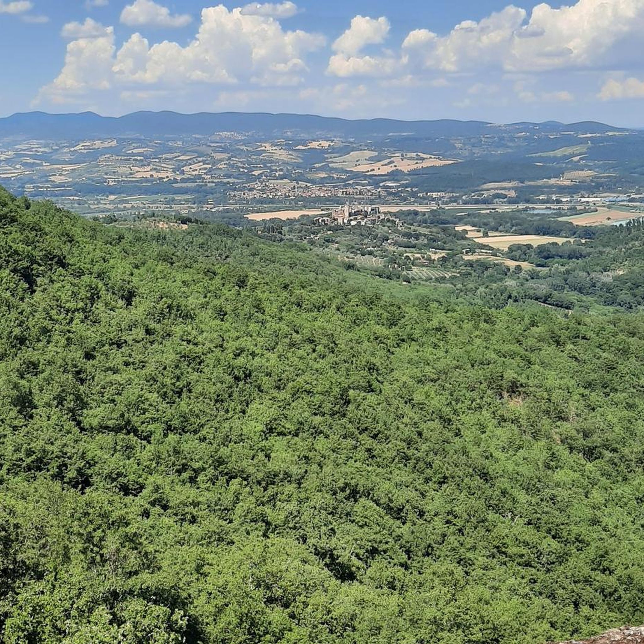
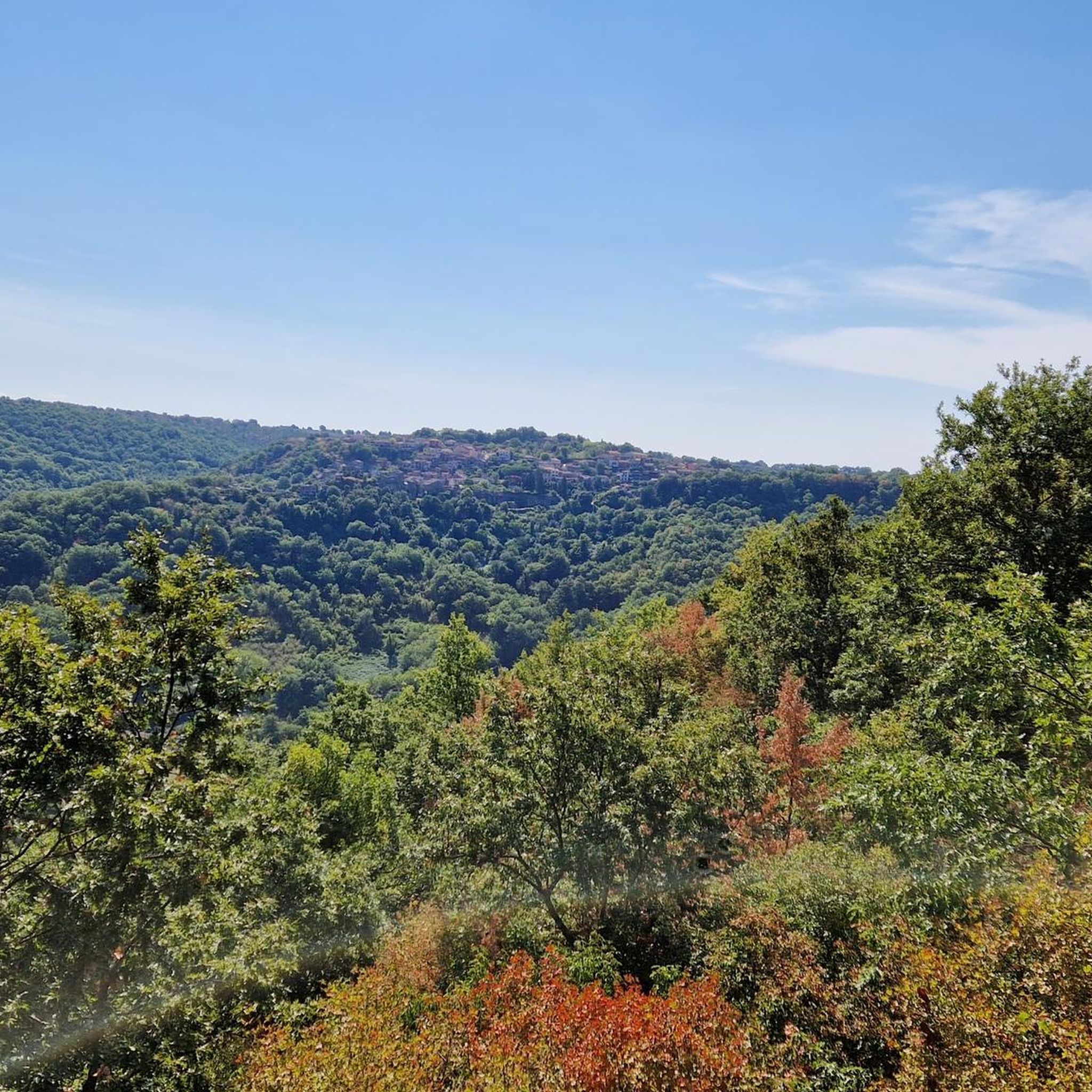
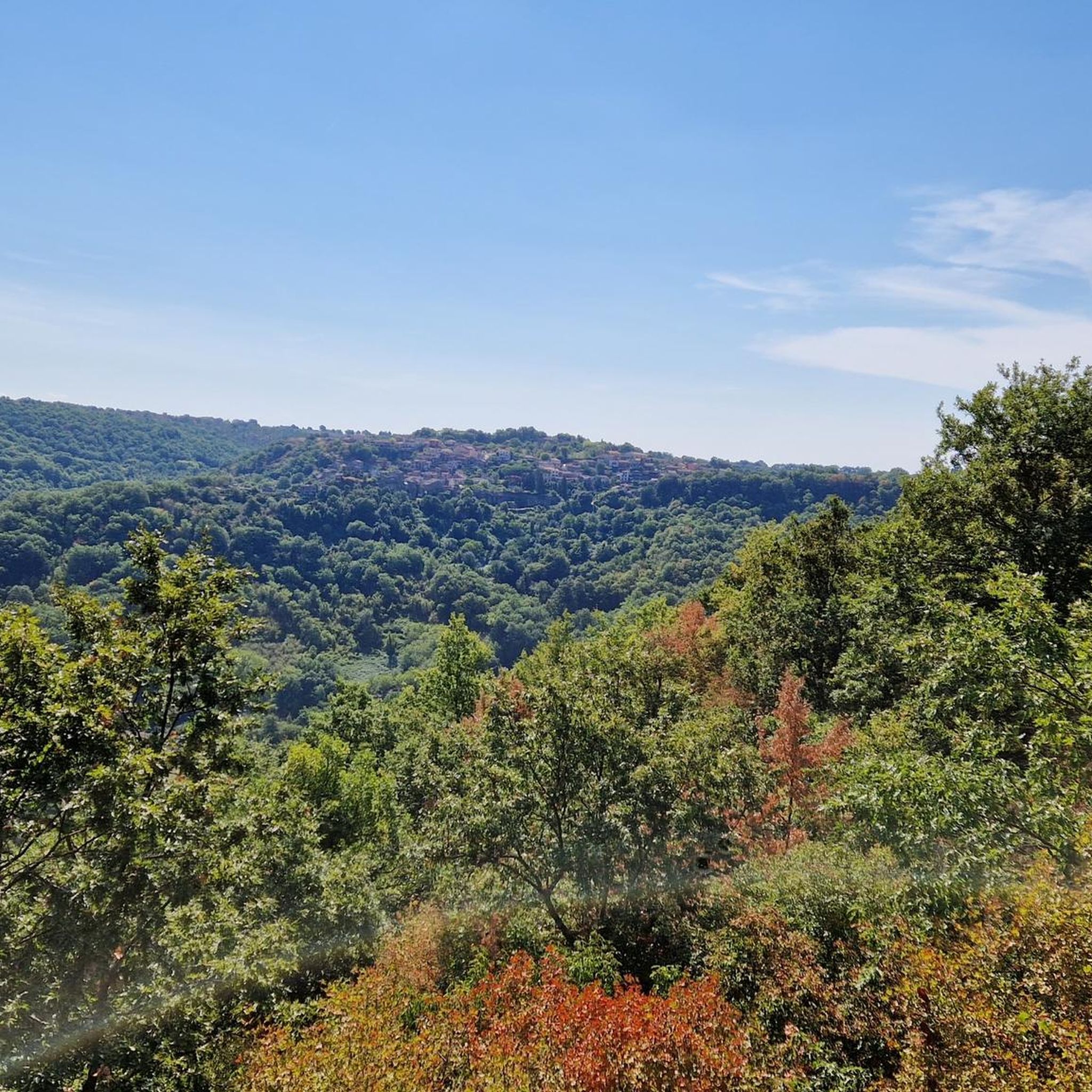
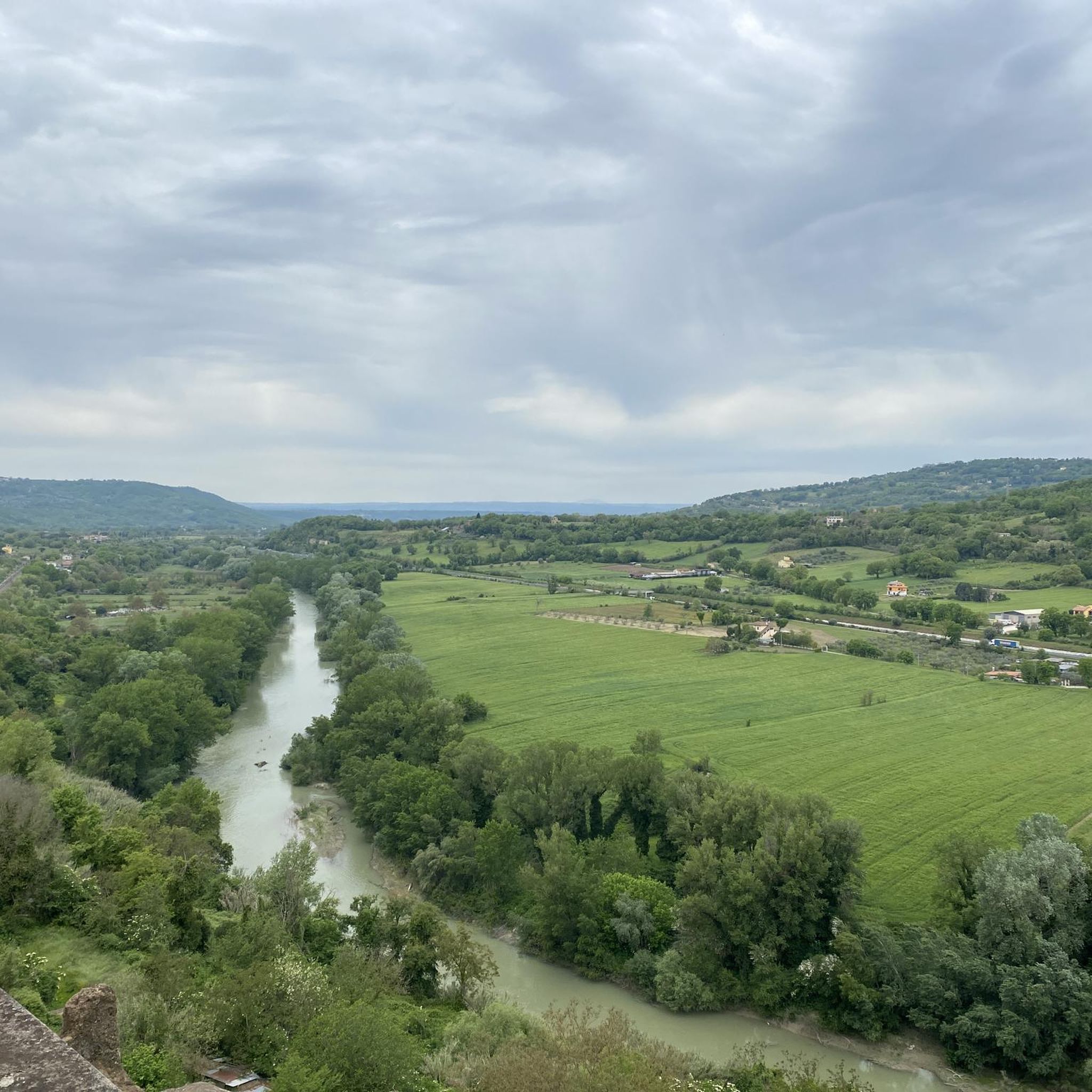
Hiking around Bassano In Teverina offers a diverse landscape characterized by rolling hills, ancient Etruscan sites, and wooded valleys. The region, situated in central Italy, features varied terrain suitable for different hiking abilities. Trails often lead through historical areas, providing insights into local heritage alongside natural beauty. The area is also known for its panoramic views of the Tiber Valley and its location on the slopes of the Cimini Hills.
Best hiking trails around Bassano In Teverina
- The most popular…
Last updated: July 5, 2026
4.2
(25)
63
hikers
5.61km
01:46
220m
220m
The Etruscan Pyramid and Santa Cecilia Necropolis Trail offers an easy 3.5-mile (5.6 km) hike through ancient history and lush woodlands. You will gain 714 feet (218 metres) in elevation…
4.6
(9)
29
hikers
6.31km
01:52
160m
160m
Hard hike. Great for any fitness level. Sure-footedness, sturdy shoes and alpine experience required.

Sign up for free
4.3
(4)
7
hikers
Hard hike. Good fitness required. Sure-footedness, sturdy shoes and alpine experience required.
4.3
(4)
18
hikers
Hard hike. Good fitness required. Sure-footedness, sturdy shoes and alpine experience required.
Hard hike. Good fitness required. Sure-footedness, sturdy shoes and alpine experience required.
Get access to more routes and recommendations from other explorers.
Sign up for free
Already have an account?
Our route recommendations are based on thousands of hikes, rides, and runs completed by other people on komoot.
Start today with a free account
Your next adventure awaits.
Login or Signup

Tips from the Community

From this point on, it was difficult for me to continue on my MTB; I continued on foot to the stream. Since there was a lot of water and it was impossible to continue, we turned back.
0
0

the green of the male with the contrast of the foliage... fantastic
0
0

It is a large boulder of shaped and carved peperino stone, located in a forest between Bomarzo and Chia; It was rediscovered in 2001 by the Archeotuscia association and the archaeological company Pro-Ferento. The structure has 26 steps carved into the volcanic rock, with a height of 8 meters in the upstream part and 16 meters in the downstream part. It is believed to have been an Etruscan rock altar, probably dating back to the 6th-7th century BC, although some hypotheses suggest even older origins.
0
0

Rocky section. If you also visit the Tagliata delle Rocchette, it is best to do so uphill.
0
0

The Tagliata delle Rocchette is a path about 70 meters long and 3 meters wide, in some sections the height of the wall is almost 20 meters. It is excavated inside a gigantic rock of peperino which detached in remote times.
1
0
Given its shape, it could recall a religious altar, but it is really an ancient and mysterious pyramid discovered only in 1911.
1
1
In the dense forest of Santa Cecilia are the remains of an early Christian cemetery also called "Camposanto di Chia" by the inhabitants of Bomarza. The central nucleus is obtained from a single mass of peperino stone, here numerous burials have been excavated which surround an apsidal chapel, of which the foundations remain.
0
0

enigmatic carved rock formation with steps and grooves. it is called an Etruscan pyramid due to its particular shape but scholars believe it may have served as a sacrificial altar.
0
0
Frequently Asked Questions
How many hiking trails are available around Bassano In Teverina?
There are over 35 hiking trails in the Bassano In Teverina area, catering to various skill levels. You'll find a good mix of easy, moderate, and difficult routes to explore the region's unique landscape.
Are there any easy hiking trails suitable for beginners or families?
Yes, Bassano In Teverina offers 11 easy hiking routes. A great option for beginners or families is the Etruscan Pyramid and Santa Cecilia Necropolis Trail, which is 3.5 miles (5.6 km) long and takes about 1 hour 45 minutes to complete, exploring ancient sites.
What kind of natural and historical attractions can I expect to see on the trails?
The trails around Bassano In Teverina are rich in both natural beauty and historical significance. You can discover ancient Etruscan sites like the Etruscan Pyramid of Bomarzo and the Necropolis of Santa Cecilia. Natural highlights include the Martelluzzo Waterfall and the serene Lake San Liberato.
Are there any circular loop walks in the area?
Yes, many trails in Bassano In Teverina are designed as circular loops. For a challenging experience, consider the Necropolis of Santa Cecilia – Etruscan Pyramid of Bomarzo loop from Bomarzo, a 5.8-mile (9.3 km) route that takes you through historical necropolis sites and natural landscapes.
What is the best time of year to go hiking in Bassano In Teverina?
The best times to hike in Bassano In Teverina are generally spring (April to June) and autumn (September to October). During these seasons, the weather is mild and pleasant, ideal for exploring the trails and enjoying the vibrant flora or autumn colors. Summers can be hot, and winters mild but potentially wet.
Are there any trails that feature waterfalls?
Yes, the region has natural attractions including waterfalls. You can find the Martelluzzo Waterfall, which is a notable highlight in the area and can be incorporated into various hiking routes.
What do other hikers say about the trails in Bassano In Teverina?
The hiking trails around Bassano In Teverina are highly rated by the komoot community, with an average score of 4.4 stars from over 200 reviews. Hikers often praise the diverse terrain, the historical sites along the paths, and the overall natural beauty of the wooded valleys and rolling hills.
Are there any challenging or difficult hikes for experienced hikers?
Absolutely. For experienced hikers seeking a challenge, there are 14 difficult routes. The La Finestraccia – Etruscan Pyramid of Bomarzo loop from Mugnano in Teverina is a demanding 8.4-mile (13.5 km) trail with significant elevation changes, offering a rewarding experience.
Can I find parking at the trailheads in Bassano In Teverina?
While specific parking details vary by trailhead, many popular starting points for hikes in Bassano In Teverina, especially those near towns or major attractions like Bomarzo, typically offer designated parking areas. It's advisable to check route details on komoot for specific parking information before you go.
Are there any castles or historical buildings to visit near the hiking routes?
Yes, the region is dotted with historical structures. You can explore highlights such as the Chia Tower and Etruscan Cave, the Orsini Castle, or the Corviano Castle. Many of these are accessible from or visible along various hiking paths, offering a glimpse into the area's rich past.
What kind of terrain should I expect on the hiking trails?
The terrain around Bassano In Teverina is quite varied, characterized by rolling hills, wooded valleys, and ancient Etruscan sites. You'll encounter paths that range from relatively flat and easy to more challenging ascents and descents, often on dirt tracks, rocky sections, or through forested areas.
Most popular routes around Bassano In Teverina
Most popular attractions around Bassano In Teverina

Get inspired with the komoot mobile app


Explore more
Browse the best Hikes in other regions.
