The best walks and hikes around Pomarance
4.3
(500)
2,448
hikers
34
hikes
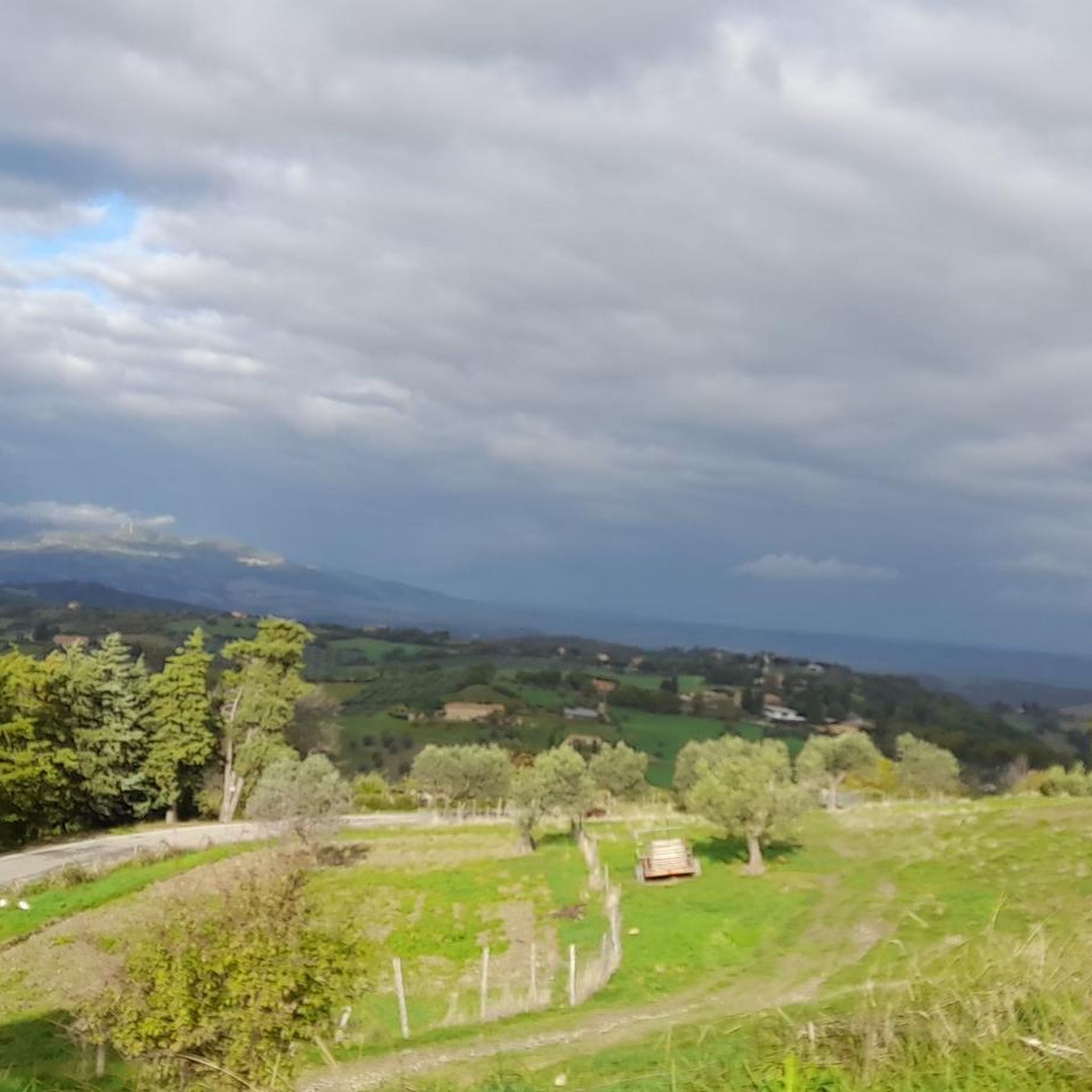
Hiking around Pomarance offers exploration of diverse landscapes in the heart of Tuscany's Val di Cecina. The region features rolling hills, dense forests of holm oaks, and Mediterranean vegetation. A distinctive characteristic is the Valle del Diavolo, showcasing geothermal phenomena like fumaroles and thermal springs. Natural reserves such as the Riserva Naturale della Foresta di Berignone and the Riserva Naturale della Foresta di Monterufoli-Caselli provide extensive trail networks.
Best hiking trails around Pomarance
- The most popular hiking route is Masso delle Fanciulle – Masso degli Specchi loop from Agriturismo Poggiamonti, a 7.3 miles (11.7 km) trail that takes 3 hours 24 minutes to complete. This route explores the unique geothermal landscape of the area.
- Another top favourite among local hikers is Masso delle Fanciulle – Masso degli Specchi loop from Puretta, a moderate 4.8 miles (7.8 km) path. This trail winds through forests and past natural features.
- Local hikers also love the San Dalmazio Village loop from San Dalmazio, a 5.8 miles (9.3 km) trail leading through charming medieval villages, often completed in about 2 hours 56 minutes.
- Hiking around Pomarance is defined by rolling hills, geothermal valleys, and dense forests, with historical sites integrated into the landscape. The network offers options for different ability levels, from easy walks to more challenging routes.
- The routes in Pomarance are highly rated by the komoot community with an average score of 4.2 stars from over 400 reviews. More than 2,400 hikers have used komoot to explore Pomarance's varied terrain.
Last updated: October 12, 2026
4.6
(36)
106
hikers
Moderate hike. Good fitness required. Mostly accessible paths. Sure-footedness required.
4.8
(11)
27
hikers
9.45km
02:58
360m
370m
Moderate hike. Good fitness required. Easily-accessible paths. Suitable for all skill levels.

4.0
(7)
24
hikers
Hard hike. Very good fitness required. Mostly accessible paths. Sure-footedness required.
3.3
(7)
18
hikers
7.75km
02:35
190m
190m
Moderate hike. Good fitness required. Mostly accessible paths. Sure-footedness required.
3.9
(9)
22
hikers
9.93km
02:56
290m
290m
Moderate hike. Good fitness required. Easily-accessible paths. Suitable for all skill levels.
Get access to more routes and recommendations from other explorers.
Already have an account?
Our route recommendations are based on thousands of hikes, rides, and runs completed by other people on komoot.
Start today with a free account
Your next adventure awaits.

Other adventures around Pomarance

Tips from the Community

Croissant the river you may spot rare birds Nettigkeiten on the riverbank. Beware of flashfloods and unexpected high water.
0
0

Great spot for a nice refreshment in the Cecina River
0
0

unfortunately a tour we started enthusiastic but we came back disheartened. first we had to take a long detour because of Maremma sheepdogs and then a closed road that entered right into their property. then found the path along the river blocked due to recent flooding we had to go back and take another route a lot on asphalt. then the maximum disappointment you can't get to Rocca Sillana by bike there is a path to go only on foot of about 15 minutes uphill with wooden steps and dirt. well anyway it was a beautiful day with my bike friend Marco.
0
0

If the partially closed path is too dangerous, you can walk along the riverbed.
0
0

The ascent should be counterclockwise, as this is more impassable and difficult than the descent on the south side
0
0


Masso delle Fanciulle. Great for swimming and picnics.
0
1
Frequently Asked Questions
What kind of landscapes can I expect to see while hiking around Pomarance?
Hiking around Pomarance offers a diverse experience, from lush rolling hills and dense forests of holm oaks to vibrant Mediterranean vegetation. A unique feature is the Valle del Diavolo (Devil's Valley), where you can witness geothermal phenomena like fumaroles, geysers, and thermal springs, creating an otherworldly, moon-like scenery. The Cecina River also flows through the area, providing refreshing spots.
Are there any easy hiking trails suitable for beginners or families in Pomarance?
Yes, Pomarance offers a good selection of easier trails. Out of over 30 routes available, about 10 are classified as easy, making them suitable for beginners or families. These trails often wind through forests and past natural features, providing a pleasant outdoor experience.
Can I find circular hiking routes in the Pomarance area?
Yes, many of the hiking routes around Pomarance are circular, allowing you to start and end at the same point. For example, the Masso delle Fanciulle – Masso degli Specchi loop from Agriturismo Poggiamonti is a popular circular option, exploring the unique geothermal landscape.
What historical sites or landmarks can I explore on a hike in Pomarance?
The region is rich in history. You can hike to the imposing Rocca Sillana fortress, a 12th-century structure offering breathtaking panoramic views. The San Dalmazio Village loop from San Dalmazio leads through charming medieval villages like San Dalmazio itself. Within the Riserva Naturale della Foresta di Berignone, you can also visit the Bishops' Castle of Berignone. For more attractions, consider exploring the Bolgheri Village or the Historic Village of Sassetta.
Are there any natural reserves or protected areas to hike through?
Absolutely. Pomarance is home to significant natural reserves. The Riserva Naturale della Foresta di Berignone offers vast forests and brush with numerous paths. Another major area is the Riserva Naturale della Foresta di Monterufoli-Caselli, known for its luxuriant woodlands and historical mining sites. These reserves provide extensive networks of trails for exploration.
What do other hikers say about the trails in Pomarance?
The hiking trails in Pomarance are highly regarded by the komoot community, with an average rating of 4.2 stars from over 400 reviews. Hikers often praise the varied terrain, from rolling hills to unique geothermal areas, and the integration of historical sites into the natural landscape.
Are there any challenging or difficult hikes in the area for experienced hikers?
Yes, for those seeking a more strenuous experience, Pomarance offers a few challenging routes. There are 3 trails classified as difficult, providing longer distances and more significant elevation changes. An example is the Masso delle Fanciulle – Masso degli Specchi loop from Agriturismo Sant'Elisa, which covers nearly 19 km.
Can I find places for wild swimming or thermal springs along the hiking routes?
Yes, the Cecina River flows through the area and offers opportunities for a refreshing swim after a long walk. Additionally, the region is known for its geothermal activity, and you might encounter thermal springs. The ancient Terme di Bagnone in Sasso Pisano, with Etruscan origins, is another interesting destination for those exploring the area's water features.
What is the best time of year to go hiking in Pomarance?
While specific recommendations vary, Tuscany generally offers pleasant hiking conditions in spring (April-May) and autumn (September-October) when temperatures are milder and the landscapes are particularly vibrant. Summer can be hot, especially in the geothermal areas, so early mornings or late afternoons are preferable if hiking during that season.
Are there any specific attractions related to the geothermal activity in Pomarance?
Beyond the natural geothermal phenomena in the Valle del Diavolo, you can visit the Museum of Geothermal Energy in Larderello, which is part of Pomarance's municipality. This museum offers insights into the region's geothermal history and its role as the world's first point of geothermal energy exploitation. You can also explore the Le Biancane Geothermal Park.
Are the hiking trails in Pomarance suitable for dogs?
Many natural areas and trails in Tuscany, including those around Pomarance, are generally dog-friendly, especially within the natural reserves. However, it's always advisable to keep dogs on a leash, especially in protected areas or near wildlife, and to check local regulations for specific trails or attractions you plan to visit.
Are there good viewpoints along the hiking trails in Pomarance?
Yes, several trails lead to excellent viewpoints. The hike to the Rocca Sillana fortress is particularly rewarding, offering panoramic views of the surrounding Tuscan landscape, including the provinces of Siena, Pisa, and Grosseto. The rolling hills and diverse terrain naturally provide many scenic vistas throughout the region.
Most popular routes around Pomarance
Most popular attractions around Pomarance

Get inspired with the komoot mobile app


Explore more
Browse the best Hikes in other regions.
