The best walks and hikes around Spall
4.5
(2729)
9,229
hikers
12
hikes
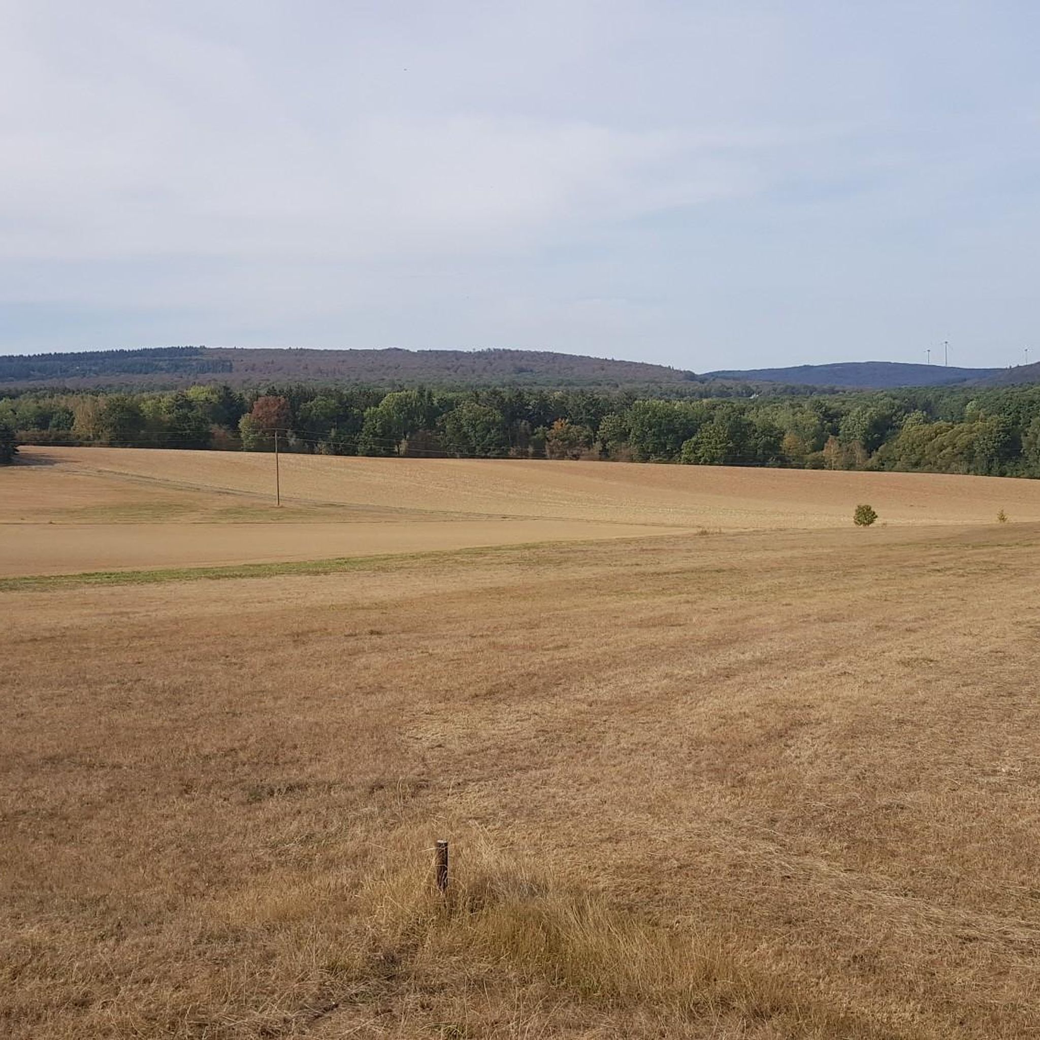
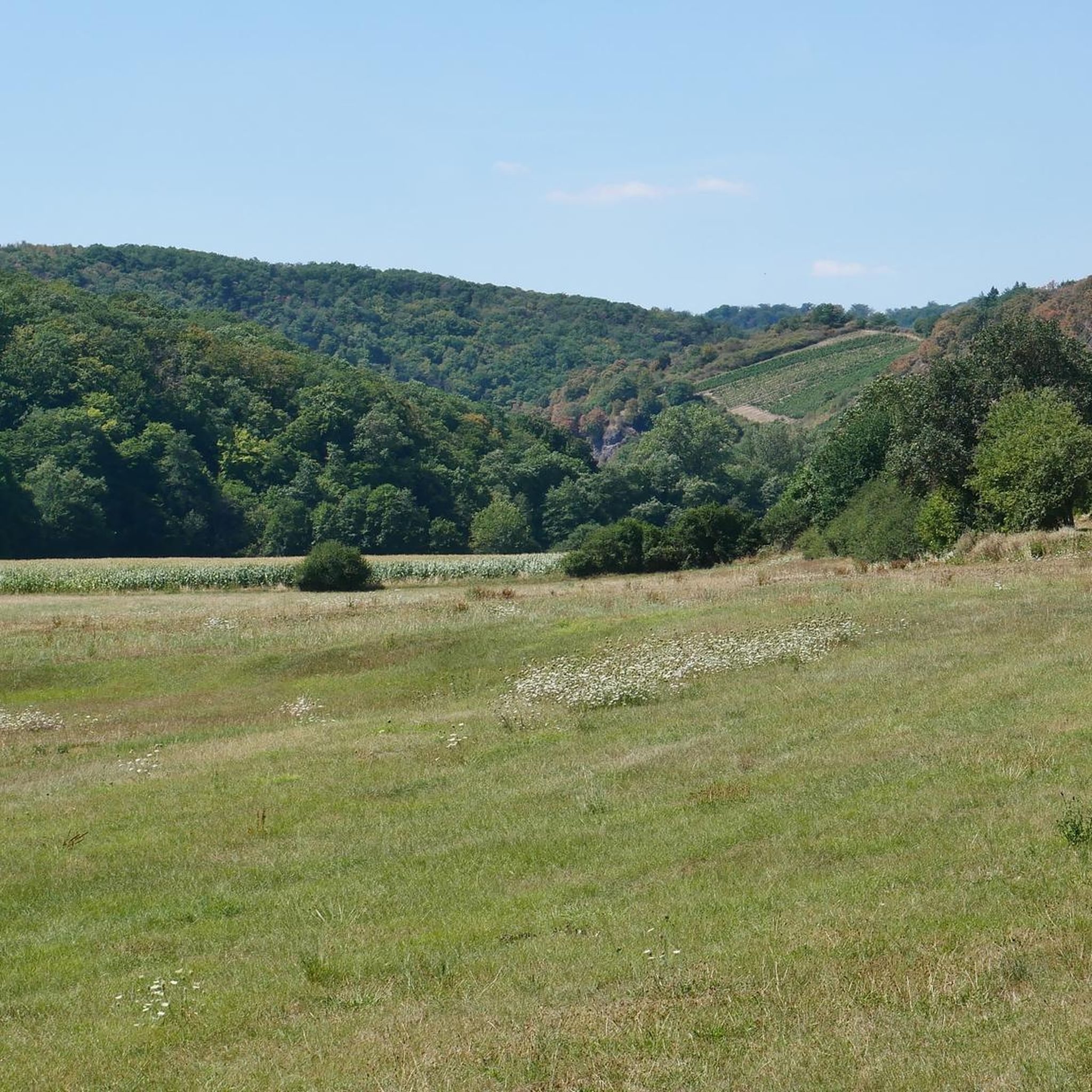
Hiking around Spall offers a variety of trails through diverse landscapes. The region features a mix of meadows, woodlands, and rocky formations, providing varied terrain for outdoor activities. Elevations are generally moderate, with some routes reaching viewpoints such as Weißenfels at 537 meters. Nature reserves like NSG Glashütter Wiesen contribute to the area's natural appeal.
Best hiking trails around Spall
- The most popular hiking route is Opelwiese Shelter – Opelwiese Recreation Area loop from NSG Glashütter Wiesen, a 2.0…
Last updated: October 31, 2026
4.3
(6)
20
hikers
Easy hike. Easily walkable paths.
3.7
(3)
5
hikers
Hard hike. Very good fitness required. Easily walkable paths.

5.0
(2)
11
hikers
5.26km
01:25
70m
70m
Easy hike. Easily walkable paths.
4
hikers
8.64km
02:28
200m
200m
Moderate hike. Good fitness required. Easily walkable paths.
5.0
(1)
7
hikers
4.97km
01:24
110m
110m
Easy hike. Easily walkable paths.
Get access to more routes and recommendations from other explorers.
Already have an account?
Our route recommendations are based on thousands of hikes, rides, and runs completed by other people on komoot.
Start today with a free account
Your next adventure awaits.
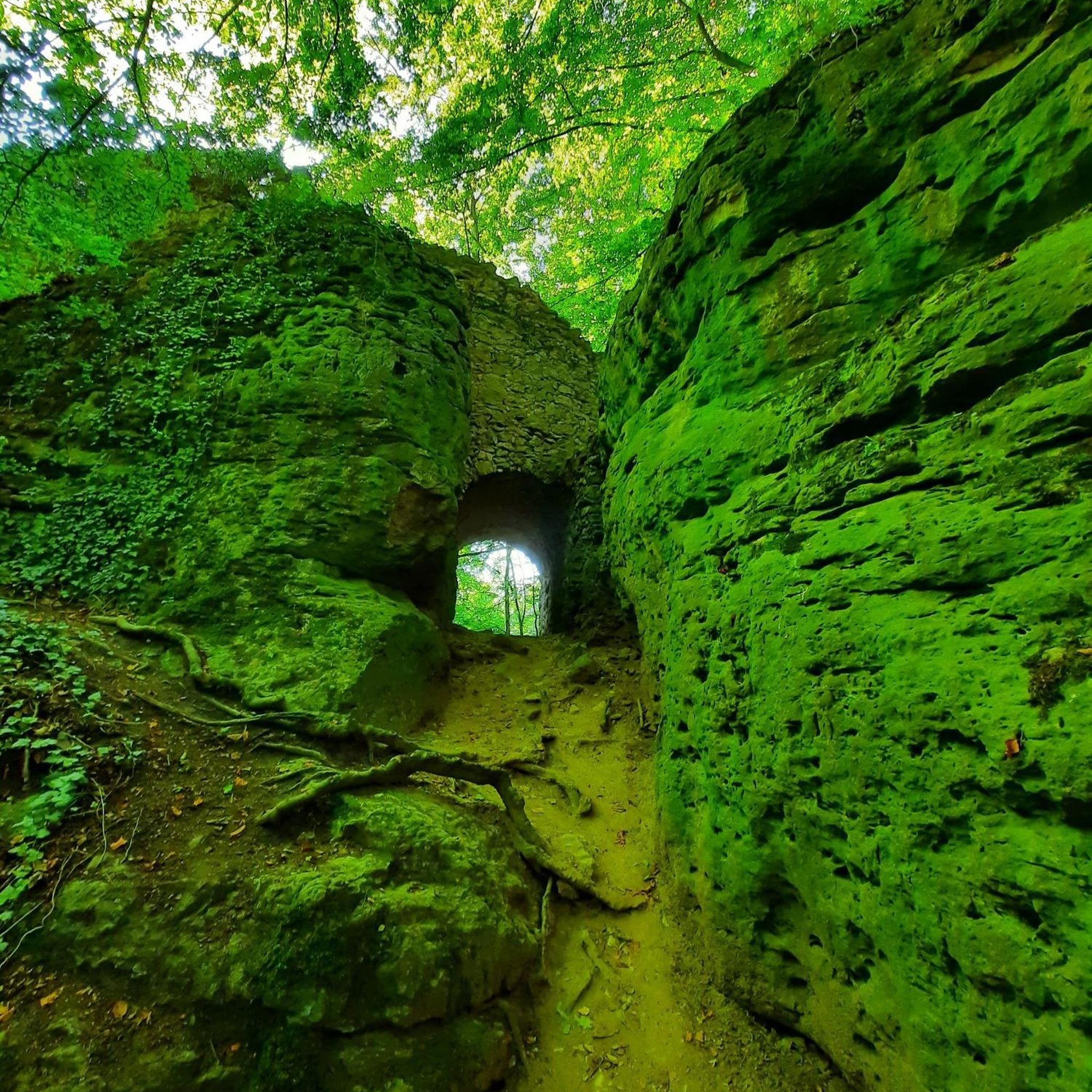
Tips from the Community

Probably no adult can resist trying out the phone here... we tried it for sure...
0
0


When the visibility is good you really have a great view
1
0
Beautifully designed adventure trail
3
0

Interesting toys on the Wildcat Trail
1
0
Very beautiful small and open chapel, with a small bell tower at the Arschborner Hof
1
0
Beautiful, spacious refuge, near the summit of the Weißenstein
2
0
When the visibility is good, you can see as far as the Donnersberg. There are even free binoculars installed here!
2
0
Frequently Asked Questions
What types of landscapes can I expect to see while hiking around Spall?
Hiking around Spall offers a diverse experience, characterized by a mix of meadows, woodlands, and distinctive rocky formations. You'll find varied terrain suitable for different preferences, from open fields to dense forests.
Are there hiking trails suitable for beginners or those looking for an easy walk?
Yes, Spall has several easy trails. For instance, the Opelwiese Shelter – Opelwiese Recreation Area loop from NSG Glashütter Wiesen is an easy 2.0-mile (3.2 km) path that takes about 55 minutes to complete, leading through the scenic Opelwiese Recreation Area. Another easy option is the Rock Formation at Gräfenbach loop from NSG Glashütter Wiesen, which is 3.3 miles (5.3 km) long.
What are some challenging hiking options in the Spall area?
For those seeking a more demanding hike, the Wildcat Trail (Wildkatzenpfad) – View from Weißenfels (537 m) loop from Gräfenbacher Hütte is a difficult 13.7-mile (22.0 km) trail. This route leads through varied terrain to the Weißenfels viewpoint, offering significant elevation changes and typically taking over six hours to complete.
Are there any notable natural features or viewpoints along the hiking routes?
Yes, the region features several points of interest. The Opelwiese Shelter – Wolfs Rock loop from Gräfenbacher Hütte includes the notable Wolfs Rock formation. Additionally, many trails lead to viewpoints, such as the Hochsteinchen lookout tower, offering panoramic views of the surrounding landscape.
Can I find circular hiking routes in Spall?
Many of the trails in Spall are designed as loops, allowing you to start and end at the same point. For example, the Opelwiese Recreation Area – Opelwiese Shelter loop from NSG Glashütter Wiesen is a 3.1-mile (5.0 km) circular route, perfect for a moderate outing.
What do other hikers say about the trails in Spall?
The hiking routes in Spall are highly regarded by the komoot community, holding an impressive average rating of 4.5 stars from over 2,300 reviews. Hikers frequently praise the diverse terrain, from peaceful woodlands to open meadows, and the well-maintained paths that make exploration enjoyable.
Are there places to rest or find refreshments along the trails?
Yes, there are several huts and shelters available in the area. You might encounter places like the Emmerich Hut or the Köhlerhütte shelter with drink service, providing convenient spots for a break during your hike.
Are there any mountain peaks or summits to explore near Spall?
The region around Spall features several notable peaks. You can explore summits such as Ellerspring or the Simmerkopf, which is the highest point in the Rhein-Hunsrück District. These offer opportunities for more elevated hiking experiences.
How many hiking trails are available in the Spall region?
There are over 10 distinct hiking routes available around Spall, catering to various skill levels from easy strolls to more challenging day hikes. This variety ensures there's something for every hiker.
Is Spall a good destination for family-friendly hikes?
With a good selection of easy and moderate trails, Spall offers suitable options for families. The varied landscapes, including meadows and woodlands, provide engaging environments for children to explore. Shorter loop trails are particularly well-suited for family outings.
What is the best time of year to go hiking in Spall?
Spall's diverse landscapes are enjoyable throughout much of the year. Spring and autumn offer pleasant temperatures and vibrant scenery, while summer provides longer daylight hours. Even in winter, some trails can be beautiful, though conditions may vary.
Most popular attractions around Spall

Get inspired with the komoot mobile app


Explore more
Browse the best Hikes in other regions.
