The best walks and hikes around Pieve Santo Stefano
4.3
(414)
1,322
hikers
41
hikes
Hiking around Pieve Santo Stefano provides access to diverse natural landscapes within the Tuscan Valtiberina. The region is characterized by Apennine woodlands, mountains, and unique geological formations, including the significant Alpe della Luna and Monti Rognosi Nature Reserves. A network of streams and torrents, along with peaks like Monte dei Frati, define the varied terrain.
Best hiking trails around Pieve Santo Stefano
- The most popular hiking route is Way of St. Vicinius: Stage 7, a 10.4 miles (16.7 km) difficult trail that takes 5 hours 48 minutes to complete. This route follows a segment of a historic pilgrimage path.
- Another top favourite among local hikers is Trail 091 to Poggio Bastione from Canili, a moderate 4.5 miles (7.3 km) path. This trail leads to Poggio Bastione, offering views of the surrounding landscape.
- Local hikers also love the Ripa della Luna Viewpoint – Monte dei Frati (1453 m) loop from Riserva naturale dell'Alpe della Luna, a 5.5 miles (8.8 km) trail leading through the Alpe della Luna Nature Reserve, often completed in about 3 hours 15 minutes.
- Hiking around Pieve Santo Stefano is defined by Apennine woodlands, unique geological formations like ophiolites, and significant natural reserves such as Alpe della Luna and Monti Rognosi. The extensive network offers options for various ability levels, from moderate walks to more challenging treks.
- The routes in Pieve Santo Stefano are highly rated by the komoot community with an average score of 4.3 stars from over 300 reviews. More than 1,100 hikers have used komoot to explore Pieve Santo Stefano's varied terrain.
Last updated: October 10, 2026
4.0
(2)
6
hikers
16.7km
05:48
920m
920m
Hard hike. Very good fitness required. Easily-accessible paths. Suitable for all skill levels.
7.30km
02:48
520m
520m
Moderate hike. Good fitness required. Easily-accessible paths. Suitable for all skill levels.

4.4
(25)
65
hikers
Moderate hike. Good fitness required. Mostly accessible paths. Sure-footedness required.
4.5
(10)
33
hikers
13.9km
04:14
470m
480m
Moderate hike. Good fitness required. Easily-accessible paths. Suitable for all skill levels.
5.0
(1)
12
hikers
Moderate hike. Good fitness required. Mostly accessible paths. Sure-footedness required.
Get access to more routes and recommendations from other explorers.
Already have an account?
Our route recommendations are based on thousands of hikes, rides, and runs completed by other people on komoot.
Start today with a free account
Your next adventure awaits.
Popular around Pieve Santo Stefano
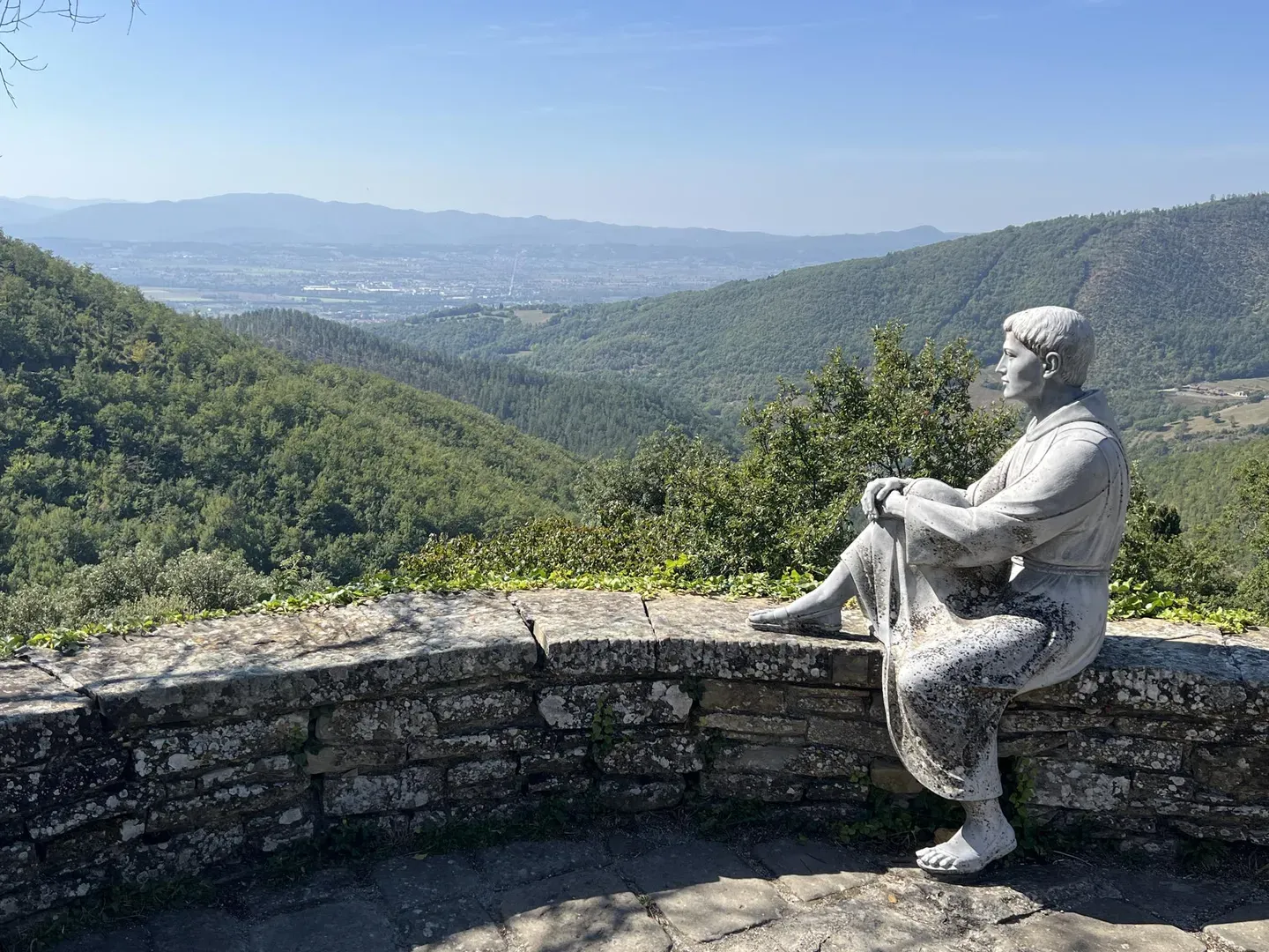
Way of St Francis in Tuscany – itineraries of Arezzo and Province
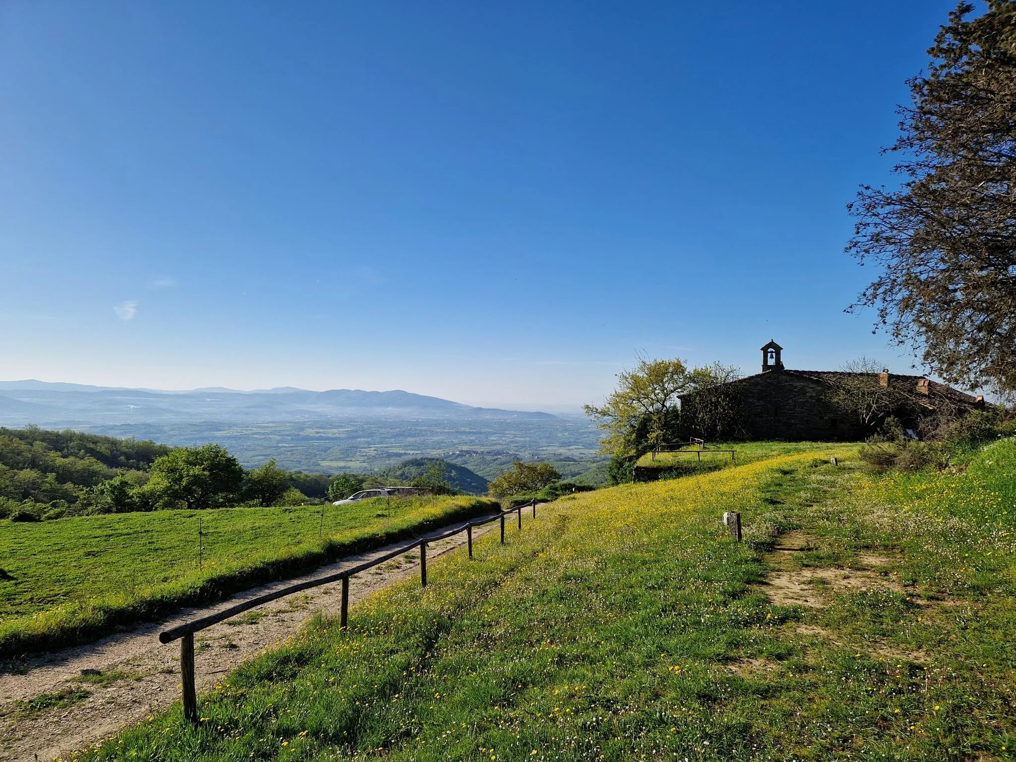
Arezzo and its valleys – between Tuscany’s art, vineyards and villages
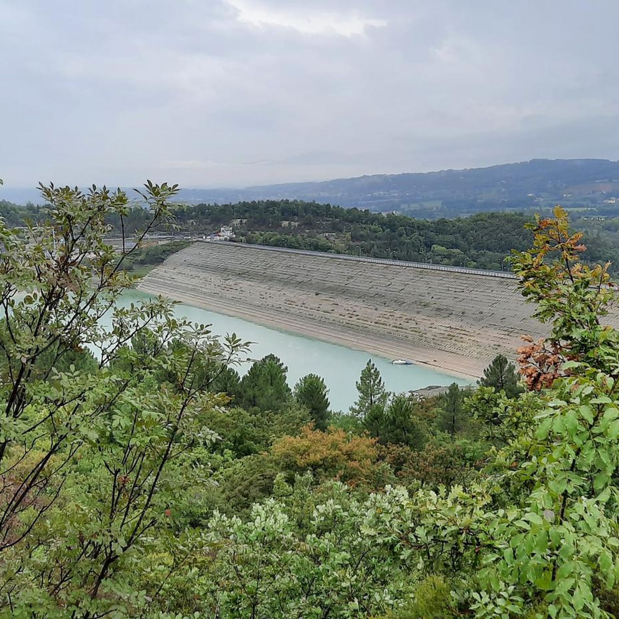
Running Trails around Pieve Santo Stefano
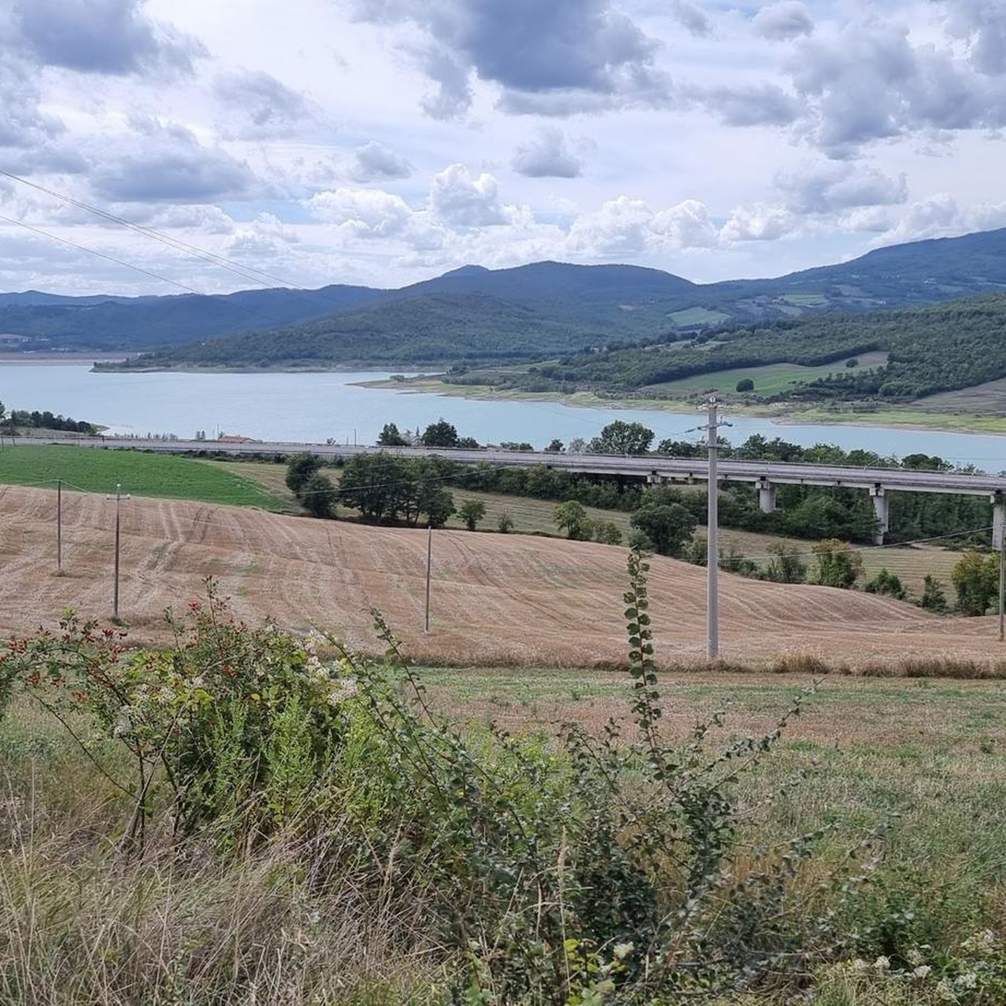
Road Cycling Routes around Pieve Santo Stefano
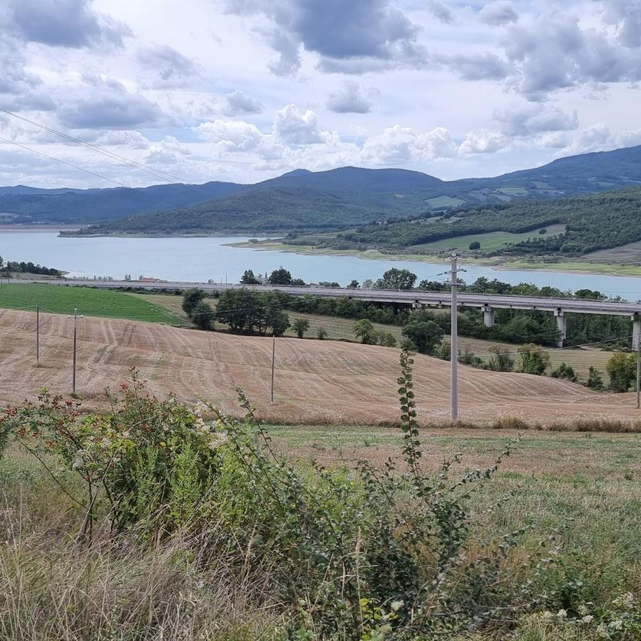
Cycling around Pieve Santo Stefano
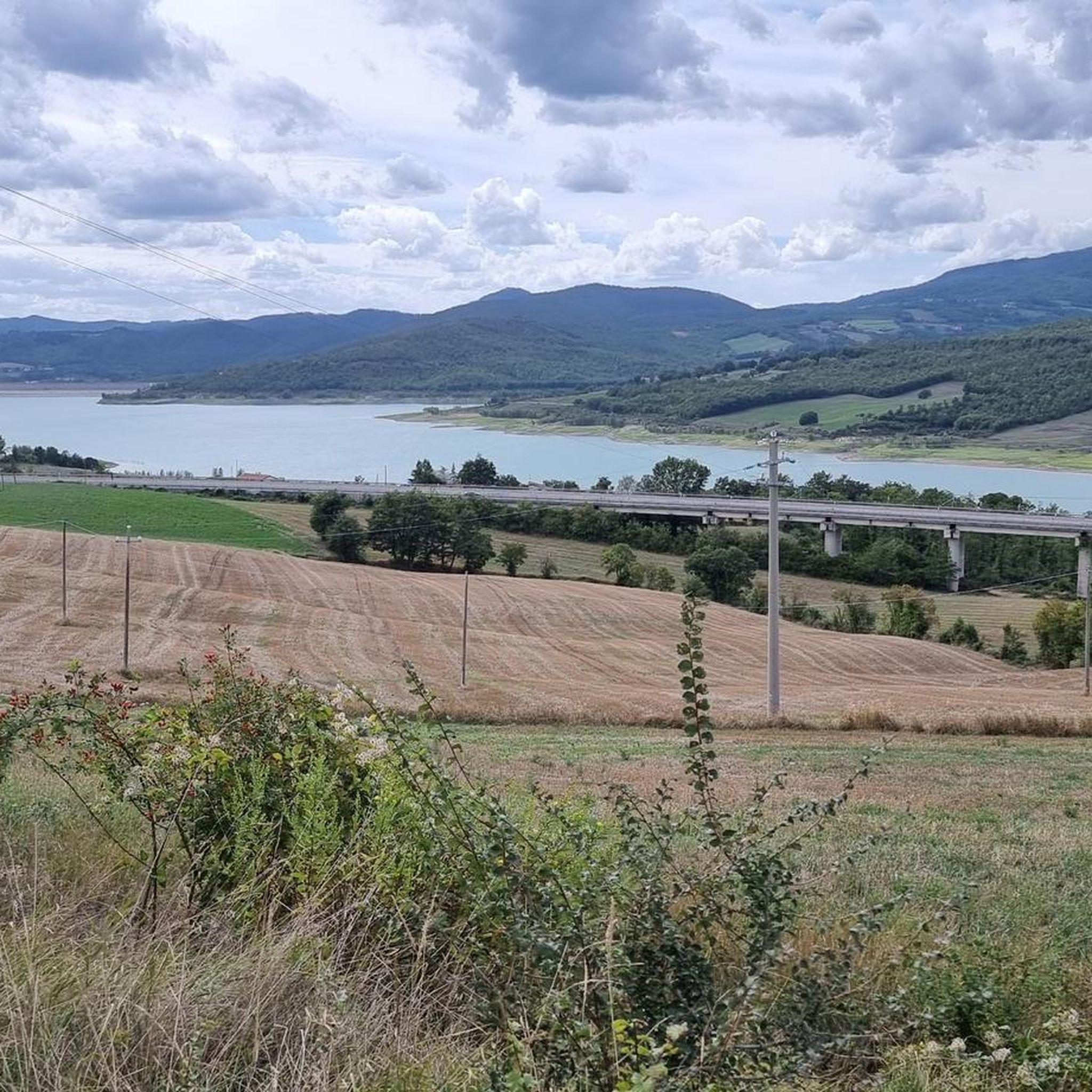
MTB Trails around Pieve Santo Stefano

Gravel biking around Pieve Santo Stefano

Tips from the Community

Located near the summit of Monte dei Frati.
0
0
The magic of this little corner of paradise is hard to describe in words, the view ranges from Mount Carpegna on the left, the Sasso di Simone, Monte Nerone, Catria and Cucco to the Sibillini in the distance.
0
0

There are several holes/trenches in this area.
0
0

The Pian della Capanna refuge is open most of the year, especially from spring to autumn. It remains a point of reference for those who undertake the path of Saint Francis and for this purpose it offers a bivouac that is always open next to the structure.
0
0


Oratory of S. Pietro a Montione The small building is located in the hamlet of Montione, a few houses planted on the rough counter-ridge of Poggio Bancola, crossed by the ancient mule track that went from Verghereto to Poggio Bastione, on the ridge of the Tuscan-Romagna Apennines. The oratory - documented as early as 1296 when it was "under the invocation of St. Peter the Apostle" - was dedicated to the Madonna in 1608 and recently restored by Francesco di Matteo di Montione, as can be seen from the inscription carved on the façade: ANNO D.NI 1602 FRAN. MAT. I HAVE. OP. EREXIT. (Source: http://www.fumaioloturismo.it/-/verghereto-oratorio-di-s-pietro-a-montione-cappelle)
0
0
Village of Montione Arch of Montione Arch or vault made of sandstone blocks in the small village of Montione, under which passes the ancient mule track that connected Verghereto with Tuscany, across the Alp. The valuable artefact, recently restored, dates back to the 17th century. (Source: http://www.fumaioloturismo.it/-/verghereto-arco-di-montione-archi_porte)
0
0

The Paolo Massi bivouac is a wooden construction located on the Alpe della Luna, just below the summit of Monte dei Frati (1453 metres), along path 00 which runs along the entire Apennine ridge. The bivouac was named after Paolo Massi, one of the founding members of the Sansepolcro section of the Italian Alpine Club, who passed away prematurely.
0
0
Frequently Asked Questions
How many hiking trails are available in Pieve Santo Stefano, and what are their difficulty levels?
Pieve Santo Stefano offers a diverse network of over 35 hiking trails. These include 2 easy routes, 26 moderate routes, and 8 difficult trails, ensuring options for various fitness levels and preferences.
What unique natural features can I expect to see while hiking in Pieve Santo Stefano?
The region is rich in unique natural features. You can explore the dramatic Alpe della Luna Nature Reserve, home to the 200-meter-high Ripa della Luna rock face and ancient beech forests. The Monti Rognosi Nature Reserve is distinguished by its rare 'snake rocks' (ophiolites) and unique flora adapted to this geological terrain. You'll also find numerous streams and waterfalls, especially within Alpe della Luna.
Are there any circular hiking routes in the area?
Yes, there are several circular routes available. A notable one is the Ripa della Luna Viewpoint – Monte dei Frati (1453 m) loop from Riserva naturale dell'Alpe della Luna, which is a moderate 5.5-mile (8.8 km) trail offering stunning views within the Alpe della Luna Nature Reserve.
Can I find trails with waterfalls in Pieve Santo Stefano?
Yes, the Alpe della Luna Nature Reserve is a watershed for several rivers, with a dense network of streams and torrents that give rise to numerous picturesque waterfalls. These are particularly notable near Sasso Spicco, offering beautiful scenic spots along your hike.
What historical or cultural landmarks can I discover along the hiking trails?
Pieve Santo Stefano is a key stop on the historic Way of St. Francis (Via di Francesco), offering spiritual journeys through lush woods. You can also visit the fascinating Cerbaiolo Hermitage, located in an impervious environment along the Franciscan path. The Monti Rognosi reserve also features historical testimonies such as ancient mines and the Via Ariminensis, an ancient Roman military road.
Are there any challenging hikes for experienced trekkers?
Absolutely. The region offers 8 difficult trails for experienced hikers. One such challenging route is the Way of St. Vicinius: Stage 7, a 10.4-mile (16.7 km) trail with significant elevation changes, following a segment of a historic pilgrimage path.
What kind of wildlife might I encounter on the trails?
The natural reserves around Pieve Santo Stefano are home to diverse wildlife. In the Alpe della Luna Nature Reserve, you might spot fallow deer, deer, roe deer, and various birds of prey like sparrowhawks and even golden eagles. The unique terrain of Monti Rognosi also supports extraordinary biological diversity.
What do other hikers say about the trails in Pieve Santo Stefano?
The hiking routes in Pieve Santo Stefano are highly rated by the komoot community, with an average score of 4.3 stars from over 300 reviews. Hikers often praise the diverse terrain, the well-preserved natural landscapes, and the opportunities to explore both challenging ascents and serene woodlands.
Are there any easy or moderate trails suitable for a more relaxed walk?
Yes, the area includes 2 easy and 26 moderate routes. A good example of a moderate path is Trail 091 to Poggio Bastione from Canili, a 4.5-mile (7.3 km) route offering pleasant views of the surrounding landscape without extreme difficulty.
Where can I find the source of the Tiber River?
The source of the Tiber River is marked by a man-made monument, a travertine column, nestled within a pristine forest. This significant natural monument is a point of interest for many visitors and can be accessed via hiking trails in the region. You can find more details about this landmark at the Source of the Tiber River Monument highlight page.
Are there any mountain peaks with panoramic views accessible by hiking?
Yes, several peaks offer breathtaking views. Monte dei Frati, at 1453 meters, is the highest peak in the Alpe della Luna Reserve. Monte Calvano (1,254 meters) offers expansive meadows between Casentino and Valtiberina, and Monte Penna (1283 m) provides panoramic vistas over the Upper Arno Valley and the vast forests of the Foreste Casentinesi National Park.
What are some other notable natural attractions or landmarks near Pieve Santo Stefano?
Beyond the main reserves, you can explore other natural monuments such as the Fra' Lupo Rock, the Monte Calvano Summit, and even the historical Icehouse of Cattiglio. The region also features several mountain passes like Passo di Viamaggio, which are often part of scenic routes.
Most popular routes around Pieve Santo Stefano
Most popular attractions around Pieve Santo Stefano

Get inspired with the komoot mobile app


Explore more
Browse the best Hikes in other regions.
