The best MTB trails around Serravalle Di Chienti
4.4
(279)
1,973
riders
136
rides
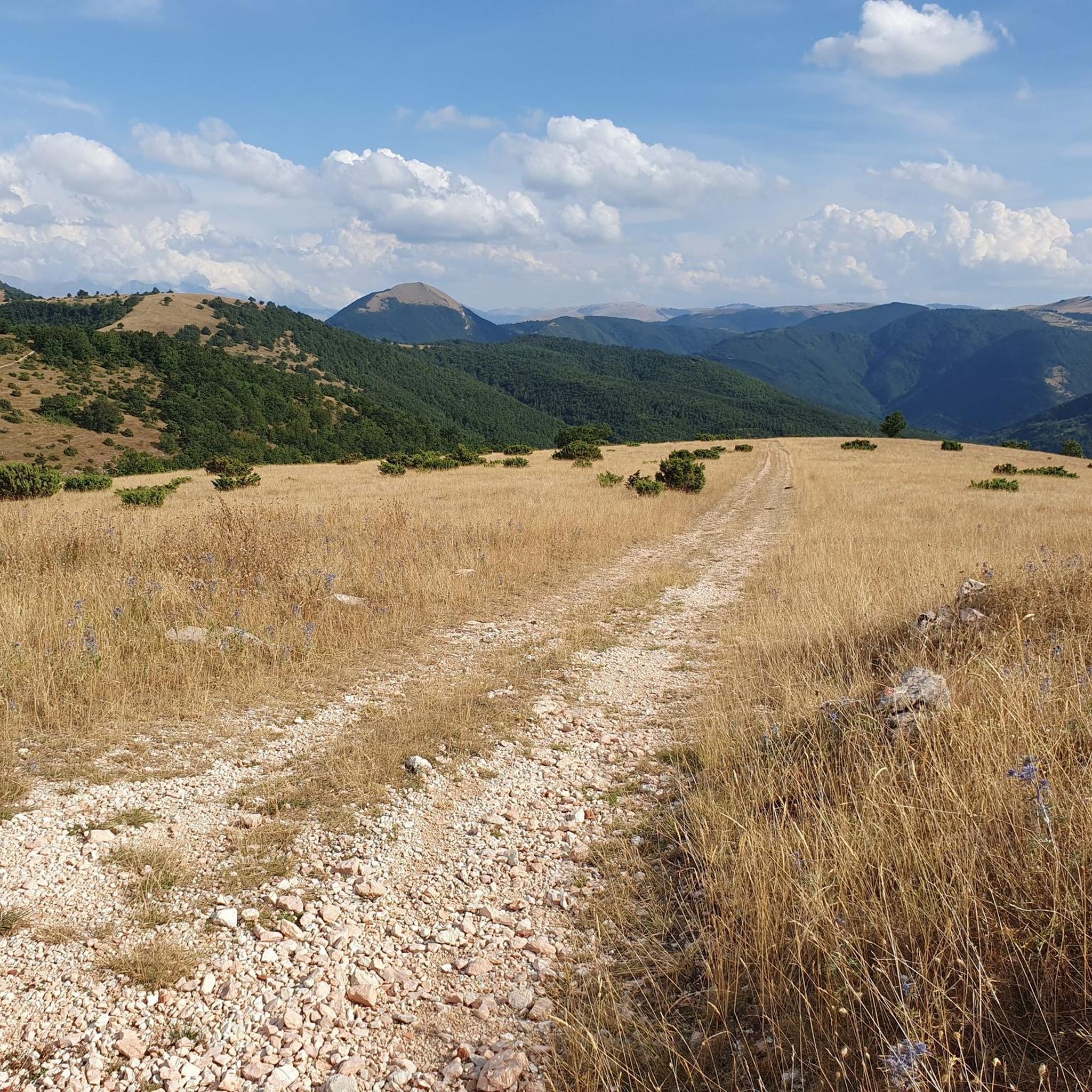
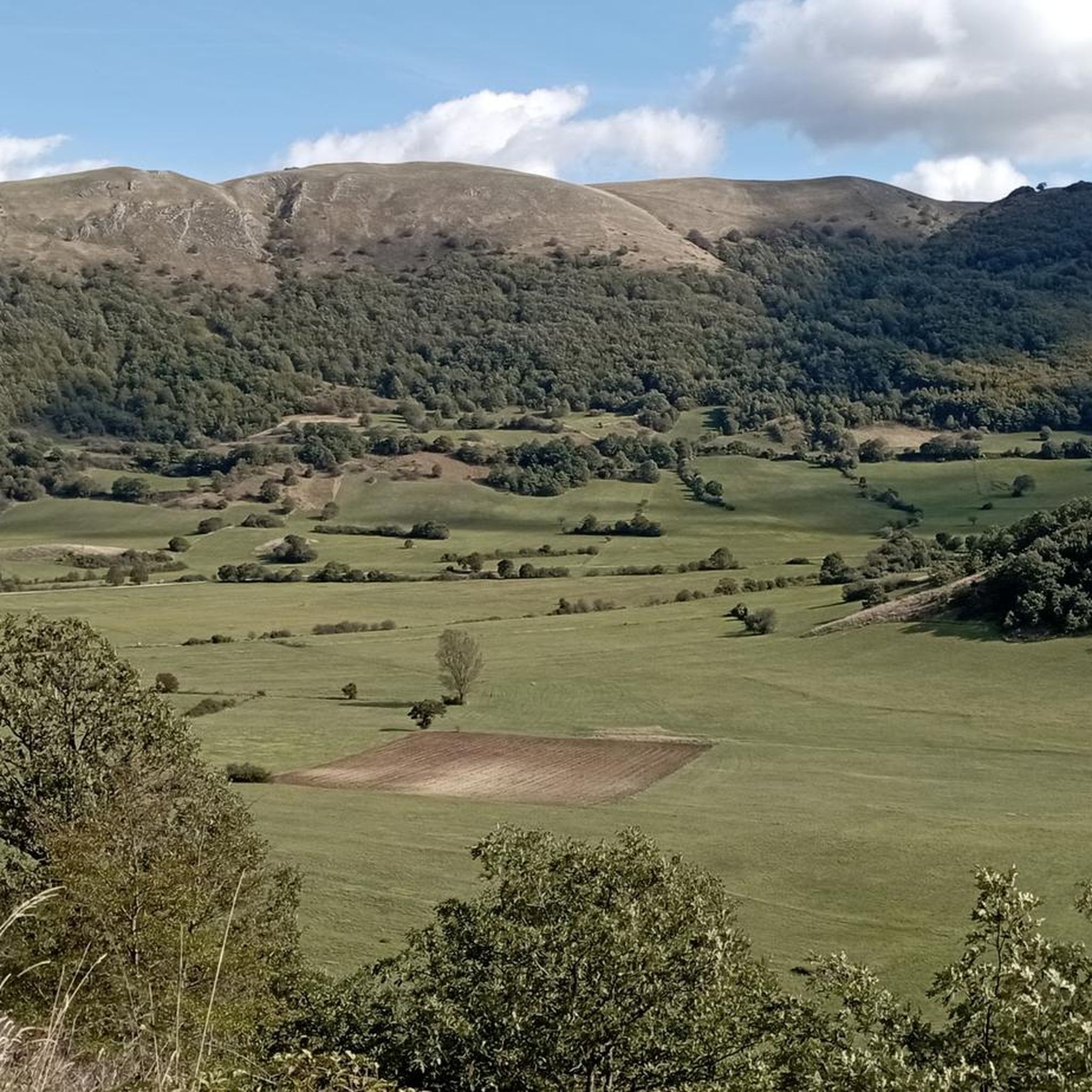
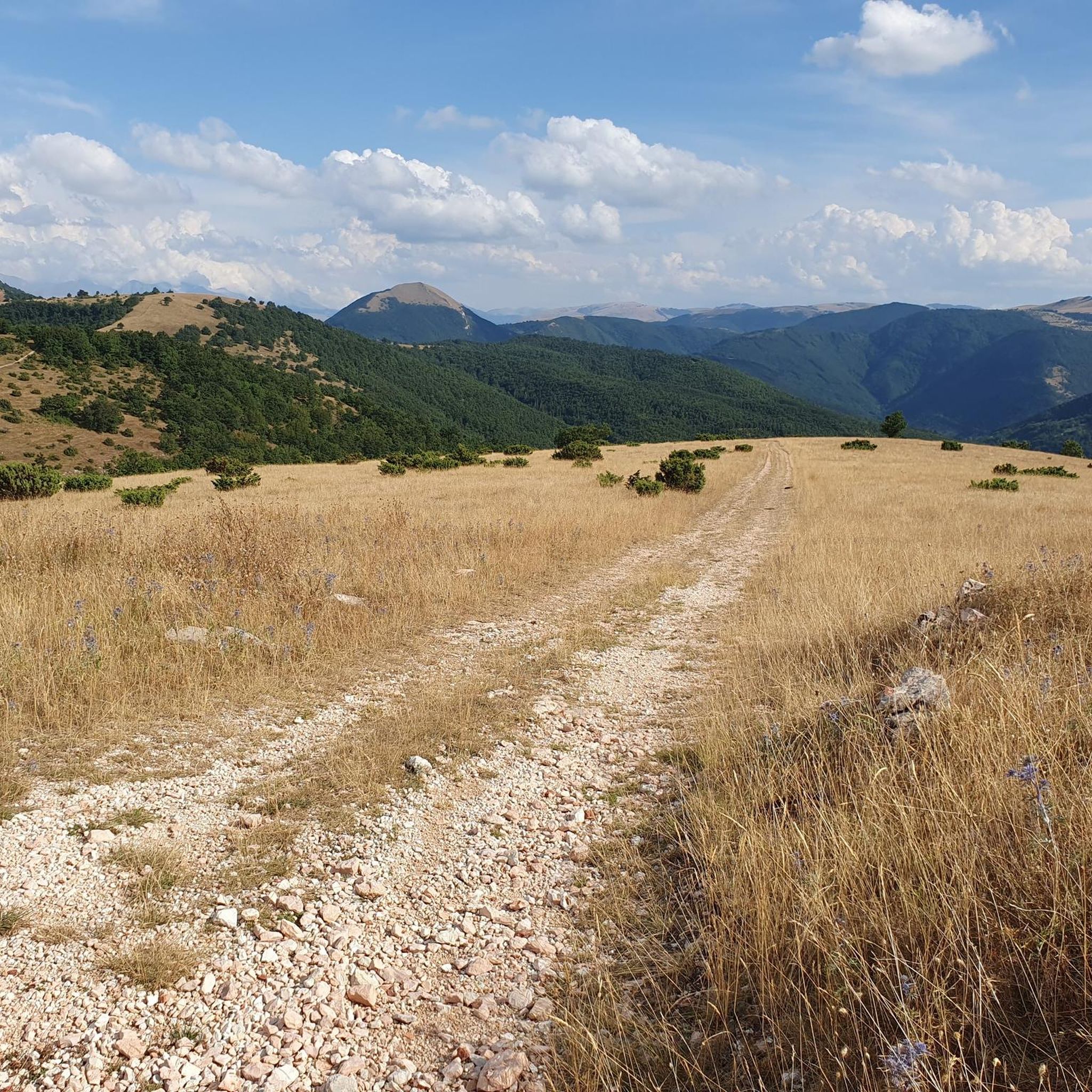
Mountain biking around Serravalle Di Chienti offers diverse terrain and elevation changes within the Umbria-Marche Apennines. The region features extensive trail networks winding through lush woods, expansive pastures, and along the Chienti River. Riders can explore the vast Altopiano Plestino, characterized by its ancient landscapes and natural springs, providing varied mountain bike routes. This area is well-suited for exploring natural features and historical landmarks by bike.
Best mountain bike trails around Serravalle Di Chienti
- The most popular mountain bike trail…
Last updated: November 7, 2026
4.8
(5)
27
riders
30.4km
03:26
1,070m
1,070m
Hard mountain bike ride. Very good fitness required.
4.8
(6)
19
riders
32.7km
03:02
860m
860m
Moderate mountain bike ride. Good fitness required.

5.0
(2)
16
riders
Moderate mountain bike ride. Good fitness required.
4.8
(6)
28
riders
27.8km
03:01
840m
840m
Moderate mountain bike ride. Good fitness required.
5.0
(1)
17
riders
55.0km
04:58
1,500m
1,500m
Hard mountain bike ride. Very good fitness required.
Get access to more routes and recommendations from other explorers.
Already have an account?
Our route recommendations are based on thousands of hikes, rides, and runs completed by other people on komoot.
Start today with a free account
Your next adventure awaits.

Tips from the Community

RASIGLIA, 648 meters above sea level, is located about 17 km above Foligno. Recently known as the "Borgo dei Streams" or the "Venice of Umbria" due to the streams that flow through the small village.
0
0

A WONDERFUL SMALL VILLAGE THAT WILL LEAVE YOU OPEN-MOUTHED
0
0


RASIGLIA is a micro village crossed by streams and canals. It can be visited in a few minutes, but it is worth the detour. A bit chaotic to walk there during the weekends, because it is packed with tourists.
0
0

A beautiful town on the border with Abruzzo.
14
0

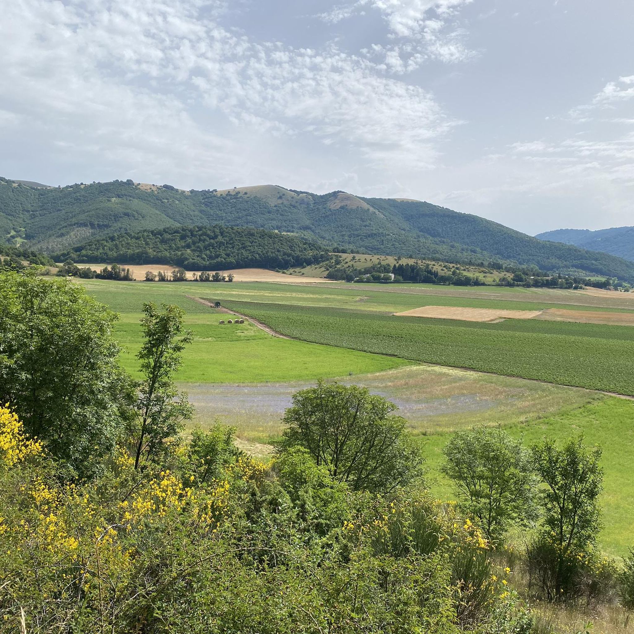
Colfiorito is the largest town on the vast plateau of about 300 hectares where it is located, at an altitude of 781 m above sea level, along the Strada statale 77 della Val di Chienti that connects Foligno to Civitanova Marche; part of the plateau falls within the territory of the municipality of Serravalle di Chienti, in the province of Macerata. The karst plateau derives from the draining of seven lake basins, of which only the marsh remains. Colfiorito, according to Istat data from the 2001 census, has about 400 residents. If you want to continue on internal roads that lead back to Foligno instead of returning on the SS 77 (a bit busy) you pass through the town and from there you move among the beautiful green and fresh hills.
3
0

Frequently Asked Questions
How many mountain bike trails are available in Serravalle Di Chienti?
There are over 140 mountain bike trails around Serravalle Di Chienti, offering a wide range of options for different skill levels.
What kind of terrain can I expect on mountain bike trails in Serravalle Di Chienti?
The terrain in Serravalle Di Chienti is diverse, ranging from lush woods and expansive pastures to the mountainous Umbria-Marche Apennines. You'll encounter trails winding through dense forests, open plains, and along the Chienti River, with significant elevation changes, especially around the Altopiano Plestino.
Are there mountain bike trails suitable for beginners or families in Serravalle Di Chienti?
Yes, while many trails are moderate or difficult, there are a few easier options. The region offers routes that cater to different abilities, allowing families and less experienced riders to enjoy the scenic landscapes. For example, some sections around the Altopiano Plestino might offer gentler gradients.
What are some notable natural features or landmarks I can see while mountain biking in Serravalle Di Chienti?
The region is rich in natural beauty and historical sites. You can explore the vast Altopiano Plestino, where the Chienti River originates, and discover numerous natural springs. Historical landmarks include the last remaining tower of the Varano Fortress, the ancient necropolis of Taverne di Serravalle, and the Botte dei Varano, a 15th-century hydraulic engineering marvel. You might also encounter highlights like the Rasiglia Springs and Waterfalls or the Menotre Waterfalls in Pale.
Are there any circular mountain bike routes in the area?
Yes, many of the mountain bike trails in Serravalle Di Chienti are designed as loops. For instance, the Basilica of Plestia – Fontana di Silvanum loop from Colfiorito is a popular circular route exploring historical sites and natural springs. Another option is the Panorama over Colfiorito – Monte Pennino (1,572 m) loop from Colfiorito, which offers stunning mountain views.
What is the best time of year to go mountain biking in Serravalle Di Chienti?
The best time to mountain bike in Serravalle Di Chienti is generally during spring and autumn when the weather is milder and the landscapes are particularly vibrant. Summer can also be pleasant, especially in the mornings or late afternoons, though some trails might be more exposed to the sun. Winter can be challenging due to snow and colder temperatures in higher elevations.
Are there any difficult mountain bike trails for experienced riders?
Absolutely. Serravalle Di Chienti offers a significant number of challenging trails, with 73 routes rated as difficult. An example is the Basilica of Plestia – Pantaneto loop from Colfiorito, which covers over 50 km with substantial elevation gain, providing a demanding experience for advanced riders.
Can I bring my dog on the mountain bike trails?
While many trails in natural areas are generally dog-friendly, it's always recommended to check specific trail regulations or local signage. Ensure your dog is well-behaved, kept on a leash where required, and that you carry waste bags to maintain the cleanliness of the trails.
What do other mountain bikers say about the trails in Serravalle Di Chienti?
The mountain bike trails in Serravalle Di Chienti are highly rated by the komoot community, with an average score of 4.38 stars from over 180 reviews. Riders often praise the diverse landscapes, the immersive experience of cycling through the Sibillini mountains, and the blend of natural beauty with historical sites.
Are there any trails that follow rivers or feature water elements?
Yes, the region is characterized by the Chienti River and numerous natural springs. The Menotre River in Rasiglia – Gentle Hills Path loop from Colfiorito is a moderate route that follows the Menotre River, offering scenic views along the water. You can also find highlights like the Menotre River in Rasiglia itself.
Where can I find parking for mountain bike trails in Serravalle Di Chienti?
Many trailheads, particularly those starting from towns like Colfiorito, offer designated parking areas. It's advisable to check the starting points of specific routes on komoot for detailed information on parking availability. Generally, villages and key attractions often have public parking facilities.
Most popular routes around Serravalle Di Chienti
Most popular attractions around Serravalle Di Chienti

Get inspired with the komoot mobile app


Explore more
Browse the best MTB trails in other regions.
