The best walks and hikes around Morrovalle
4.4
(116)
1,020
hikers
79
hikes
Hiking around Morrovalle offers routes through varied landscapes, characterized by gentle river valleys and historic abbeys. The region features a network of country lanes and paths, providing views of the surrounding countryside. Trails often follow the Potenza River and lead to cultural landmarks. The terrain is generally mild, making it accessible for many hikers.
Best hiking trails around Morrovalle
- The most popular hiking route is Abbey of San Firmano – San Firmano Church loop from San Firmano, a 4.7 miles (7.6 km) trail that takes 1 hour 57 minutes to complete, passing by historical religious sites.
- Another top favourite among local hikers is Bridge over the Potenza River – Macerata country lanes loop from San Firmano, an easy 3.6 miles (5.8 km) path that follows the river and winds through Macerata's country lanes.
- Local hikers also love the Abbey of San Claudio loop from Contrada San Claudio, a 2.7 miles (4.3 km) trail leading through the area surrounding the historic Abbey of San Claudio, often completed in about 1 hour 6 minutes.
- Hiking around Morrovalle is defined by river valleys, historic abbeys, and countryside paths. The network offers options for easy, moderate, and difficult routes, catering to different ability levels.
- The routes in Morrovalle are highly rated by the komoot community with an average score of 4.4 stars from over 90 reviews. More than 790 hikers have used komoot to explore Morrovalle's varied terrain.
Last updated: July 21, 2026
2.3
(3)
11
hikers
7.61km
01:57
30m
30m
Easy hike. Great for any fitness level. Easily-accessible paths. Suitable for all skill levels.
4
hikers
4.21km
01:05
10m
10m
Easy hike. Great for any fitness level. Easily-accessible paths. Suitable for all skill levels.

Sign up for free
3
hikers
4.25km
01:06
20m
10m
Easy hike. Great for any fitness level. Easily-accessible paths. Suitable for all skill levels.
4.0
(2)
7
hikers
3.35km
00:52
10m
10m
Easy hike. Great for any fitness level. Easily-accessible paths. Suitable for all skill levels.
5.0
(1)
3
hikers
7.76km
02:01
50m
50m
Moderate hike. Good fitness required. Easily-accessible paths. Suitable for all skill levels.
Get access to more routes and recommendations from other explorers.
Sign up for free
Already have an account?
Our route recommendations are based on thousands of hikes, rides, and runs completed by other people on komoot.
Start today with a free account
Your next adventure awaits.
Login or Signup

Tips from the Community

The church of San Claudio al Chienti is a Romanesque building located in the municipality of Corridonia in an isolated position in the Chienti valley.
1
0
The Basilica of the Santissima Annunziata, or Basilica of Santa Maria a Piè di Chienti, is a parish church located in the municipality of Montecosaro, in the hamlet of Montecosaro Scalo, in the province of Macerata. It represents one of the masterpieces of Romanesque architecture in the Marche region, and owes its name to the Chienti River that flows nearby.
0
0
A building located along the Chieti route. A Romanesque church declared a national monument.
0
0

A really nice and quiet location, a relaxing village with a lot of cycling potential
0
0


Also known as Charlemagne's first Aachen.
2
0

fantastic journey into history and nature recommended
1
0

Frequently Asked Questions
How many hiking trails are available around Morrovalle?
Morrovalle offers a diverse network of over 60 hiking trails. These routes cater to various skill levels, with more than 30 classified as easy, 28 as moderate, and a few more challenging options.
Are there easy hiking trails suitable for beginners in Morrovalle?
Yes, Morrovalle is an excellent area for beginners. The terrain is generally mild, especially along the river valleys. Many routes are classified as easy, such as the Bridge over the Potenza River – Macerata country lanes loop from San Firmano, which is an easy 3.6-mile path following the river.
What is the typical duration of hikes around Morrovalle?
Most hikes around Morrovalle are relatively short, making them ideal for half-day excursions. For example, the Abbey of San Claudio loop from Contrada San Claudio is about 2.7 miles and typically takes just over an hour to complete.
Are there family-friendly hiking options in Morrovalle?
Absolutely. The gentle slopes and well-maintained paths along the Potenza River and through the countryside make many trails suitable for families. The shorter, easier routes are particularly good for children.
What kind of scenery can I expect on hikes in Morrovalle?
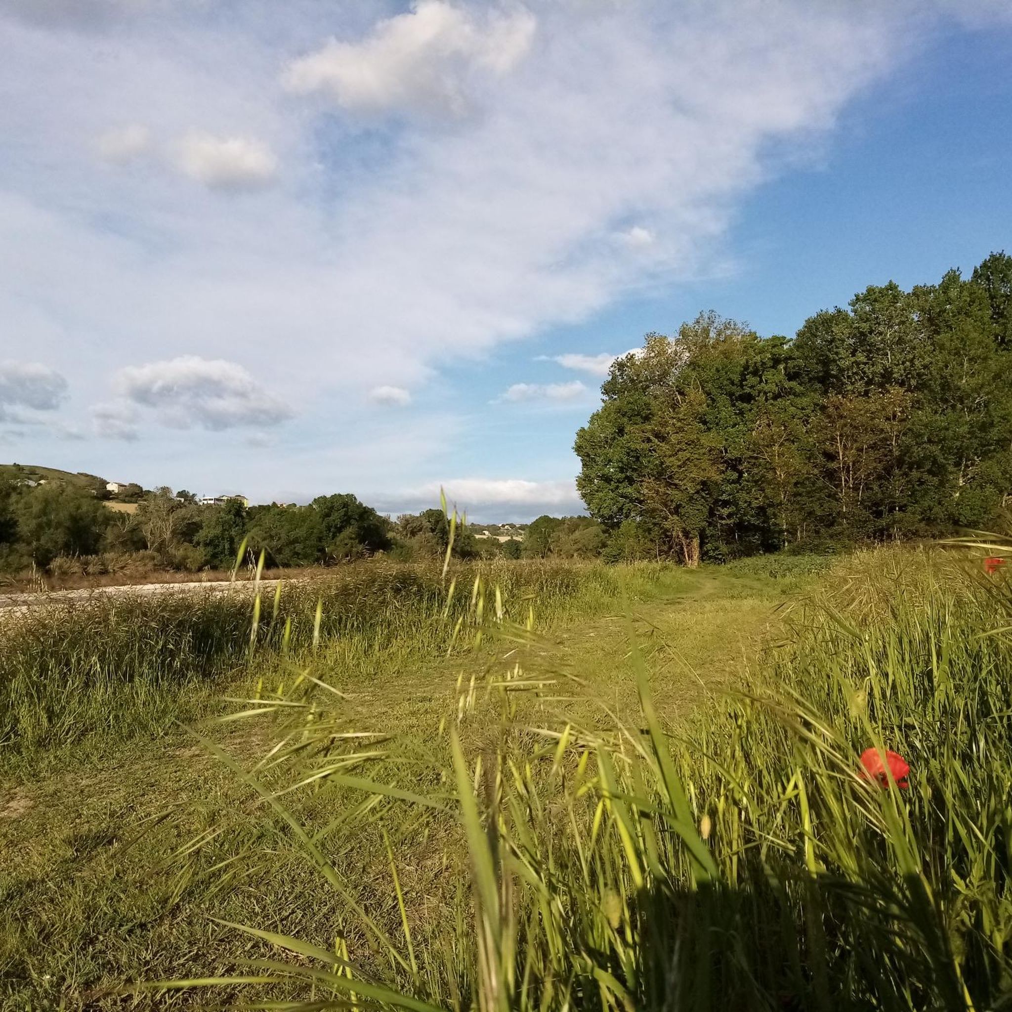
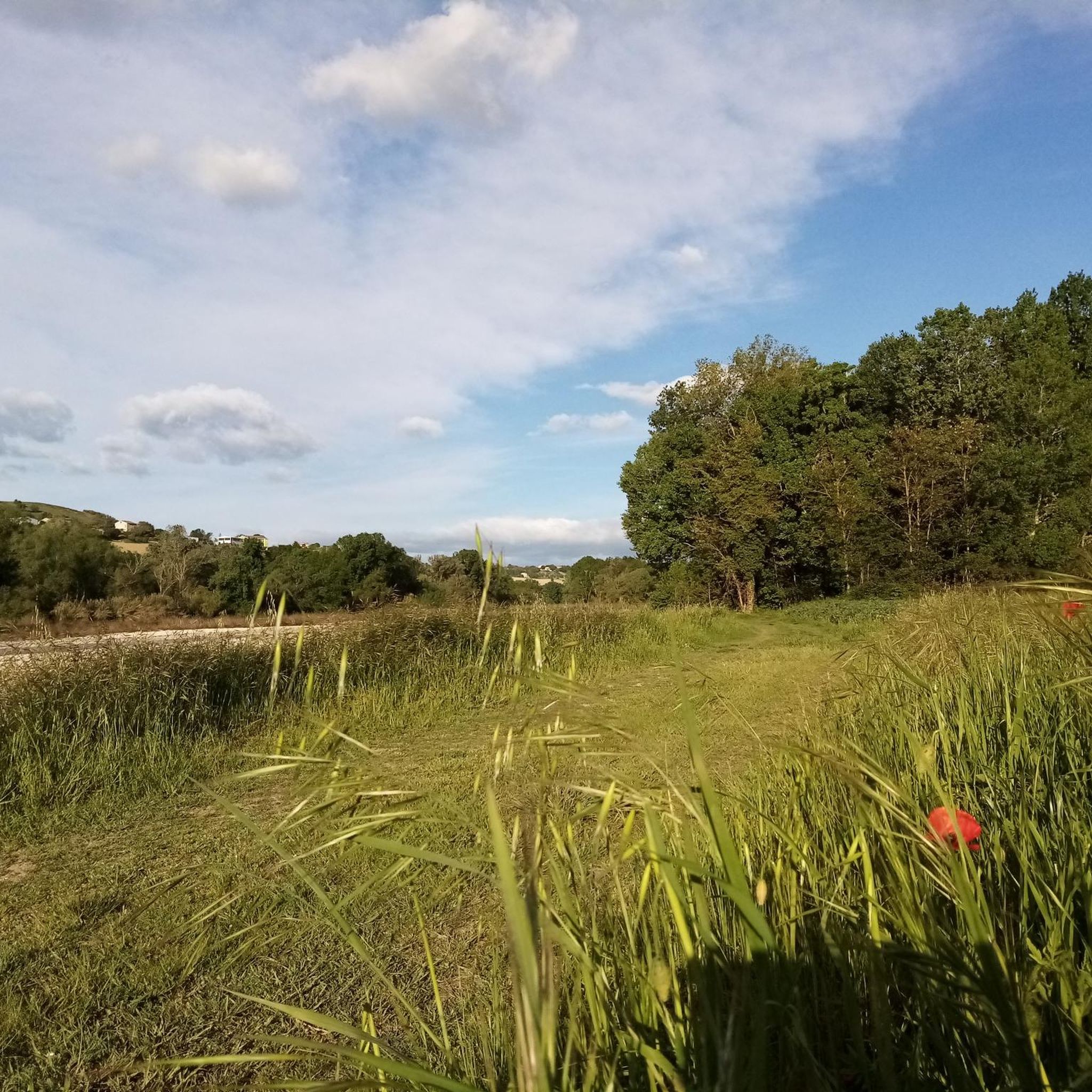
Hiking in Morrovalle offers a mix of landscapes, including tranquil river valleys, historic abbeys, and expansive countryside views. You'll often find paths winding through agricultural fields and past charming villages, providing a glimpse into the region's rural character.
Are there any historical or cultural landmarks to see along the trails?
Yes, the region is rich in history. Many trails pass by significant sites. For instance, the Abbey of San Firmano – San Firmano Church loop from San Firmano takes you past historical religious sites. You can also explore the historic San Claudio Abbey, which is a highlight on several routes.
What do other hikers enjoy most about hiking in Morrovalle?
The komoot community highly rates the hiking experience in Morrovalle, with an average score of 4.4 stars. Reviewers often praise the peaceful countryside, the accessibility of the trails, and the opportunity to discover historical sites like the abbeys.
Are there any circular walks available in Morrovalle?
Yes, many of the popular routes in Morrovalle are circular, allowing you to start and end at the same point. Examples include the Bridge over the Potenza River – San Firmano Church loop from San Firmano and the Abbey of San Claudio loop from Contrada San Claudio.
Can I find viewpoints with scenic vistas on hikes around Morrovalle?
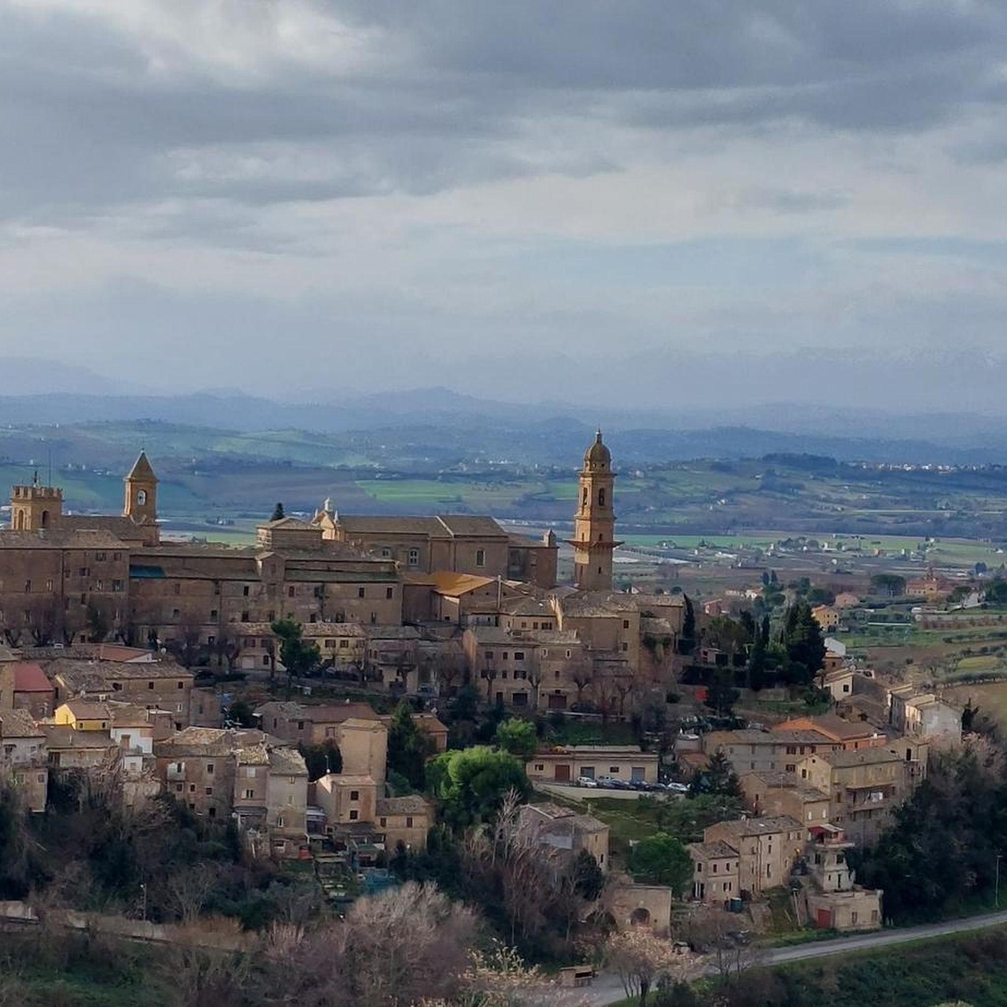
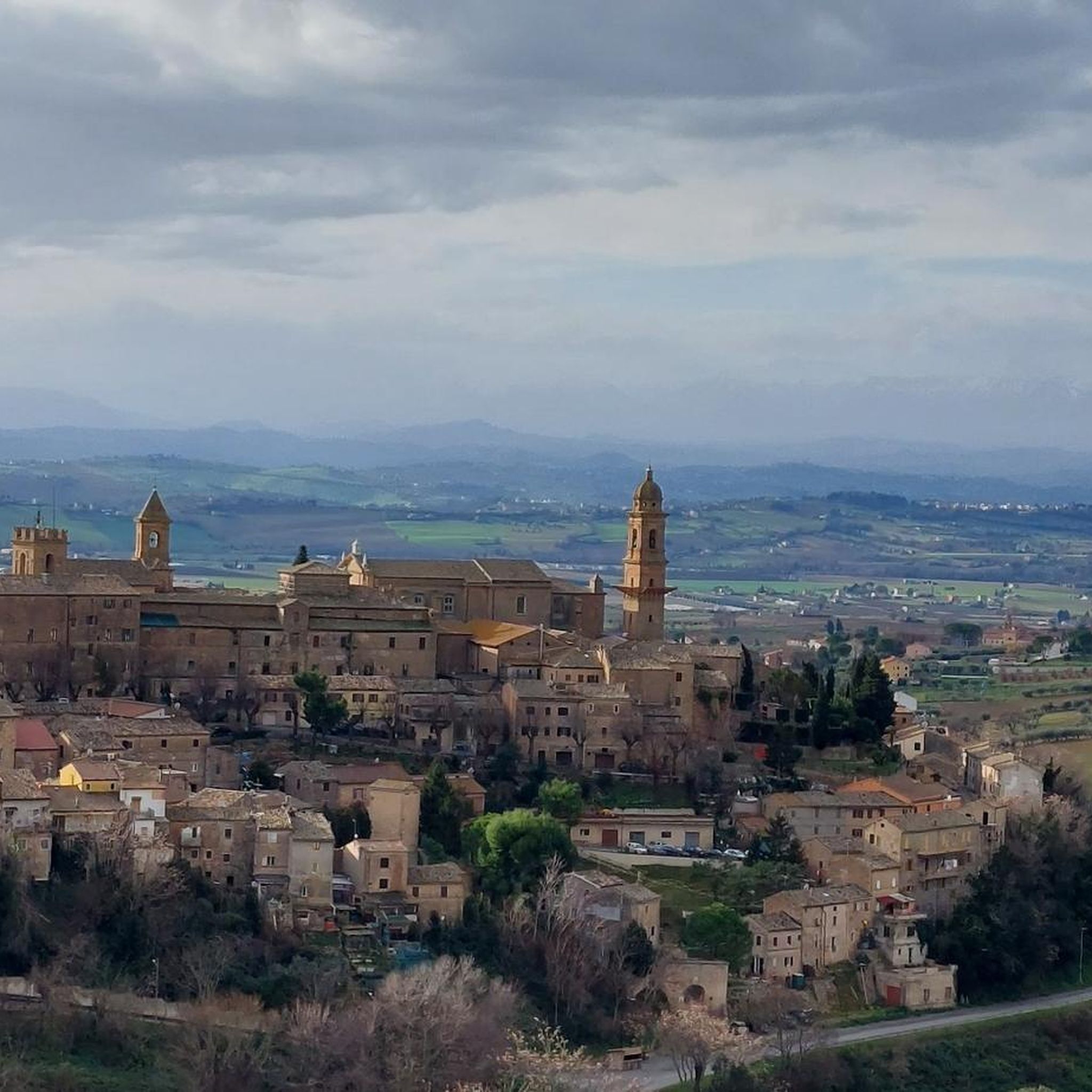
While the terrain is generally gentle, some routes offer lovely views of the surrounding area. The View of Morrovalle – Bike loop from Trodica, though listed as a bike route, provides excellent panoramic views of Morrovalle and the Marche countryside, and can be adapted for hiking.
Are there any natural attractions or points of interest near the hiking trails?
Beyond the historical sites, you can find natural points of interest. The View of the Vineyards and Countryside offers a beautiful natural vista. Additionally, the Parco dei Laghetti — West Side and Water Lily Pond provide serene spots for nature lovers.
What is the best time of year to go hiking in Morrovalle?
The mild climate of the Marche region makes hiking enjoyable for much of the year. Spring and autumn offer pleasant temperatures and beautiful scenery, with blooming wildflowers or vibrant fall foliage. Summer can be warm, so early morning or late afternoon hikes are recommended. Winter hikes are also possible, especially on the lower elevation trails.
Most popular attractions around Morrovalle

Get inspired with the komoot mobile app


Explore more
Browse the best Hikes in other regions.
