The best walks and hikes around Serrapetrona
4.4
(457)
2,581
hikers
11
hikes
Hiking around Serrapetrona offers diverse terrain within Italy's Marche region, situated at an elevation of 474 meters above sea level. The area is characterized by rich forested environments at the foothills of the Sibillini Mountains, with the Cesolone stream and Chienti River valley contributing to its natural features. Notable geological formations like the Lame Rosse and the scenic Lago di Fiastra provide varied landscapes for outdoor activities.
Best hiking trails around Serrapetrona
- The most popular hiking route is Serrapetrona –…
Last updated: October 11, 2026
4.3
(7)
12
hikers
13.8km
04:29
600m
600m
Moderate hike. Good fitness required. Easily-accessible paths. Suitable for all skill levels.
5.0
(2)
8
hikers
9.91km
03:10
420m
420m
Moderate hike. Good fitness required. Easily-accessible paths. Suitable for all skill levels.

3.0
(3)
15
hikers
9.44km
03:18
520m
520m
Moderate hike. Good fitness required. Easily-accessible paths. Suitable for all skill levels.
5.0
(1)
3
hikers
14.1km
04:32
570m
570m
Moderate hike. Good fitness required. Easily-accessible paths. Suitable for all skill levels.
5.0
(1)
5
hikers
7.54km
02:22
310m
310m
Moderate hike. Good fitness required. Easily-accessible paths. Suitable for all skill levels.
Get access to more routes and recommendations from other explorers.
Already have an account?
Our route recommendations are based on thousands of hikes, rides, and runs completed by other people on komoot.
Start today with a free account
Your next adventure awaits.

Tips from the Community


Not far from the top of Monte d'Aria, this pass is located at around 750 meters above sea level. Just to the south, along the road to Camerino, stood the Beregna tower, built in 1382 by Giovanni da Varano as part of a defensive line between Camerino and Matelica. Already abandoned at the end of the 17th century, it finally collapsed in the 1970s due to some earthquakes.
1
0
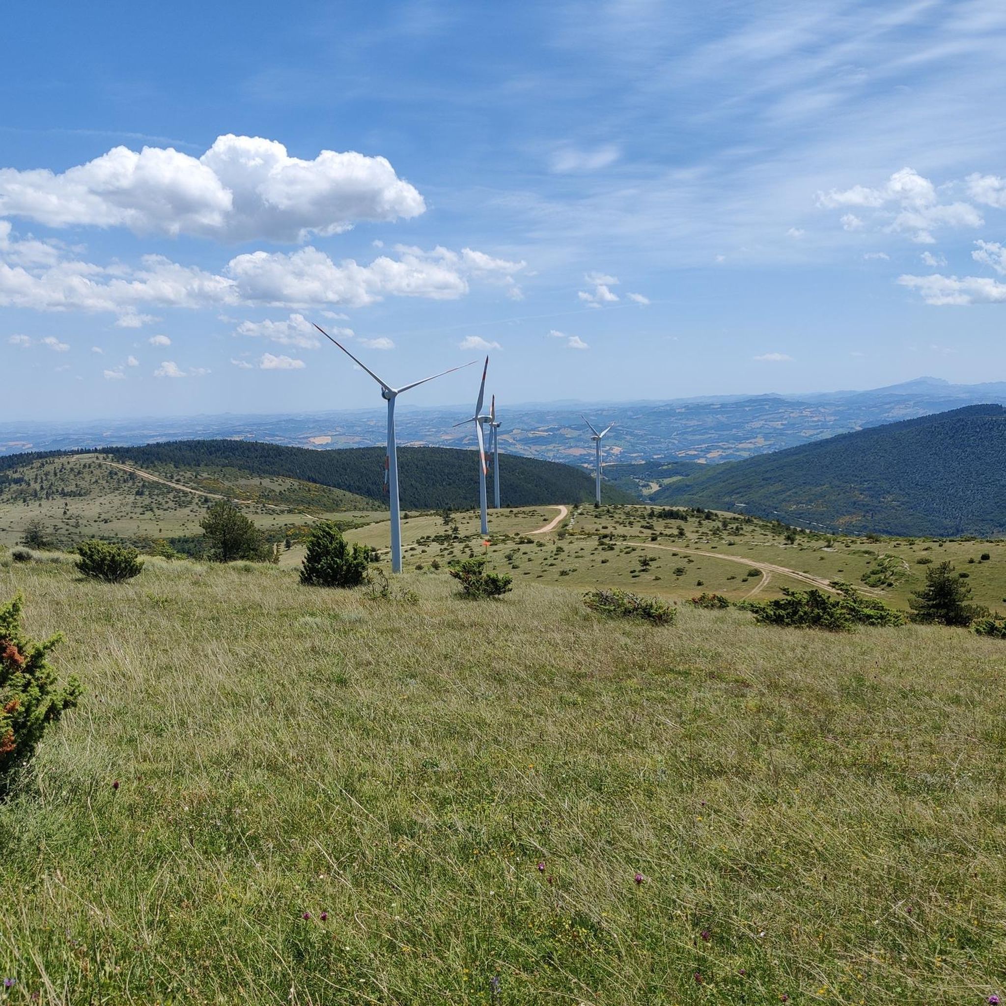
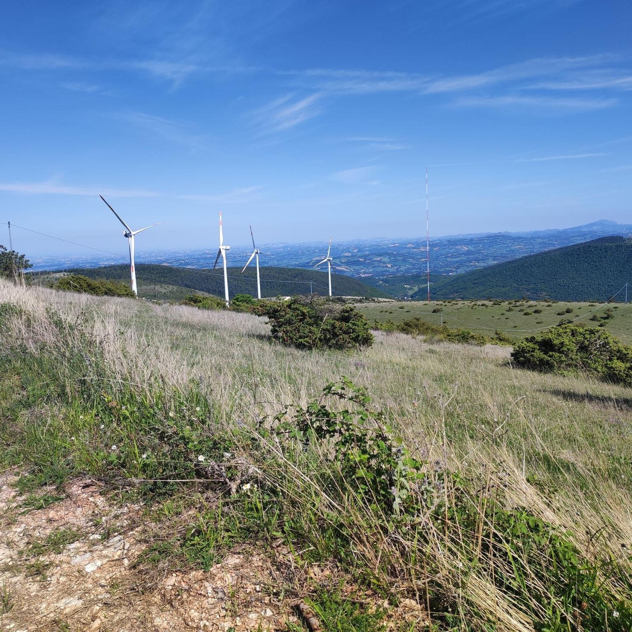
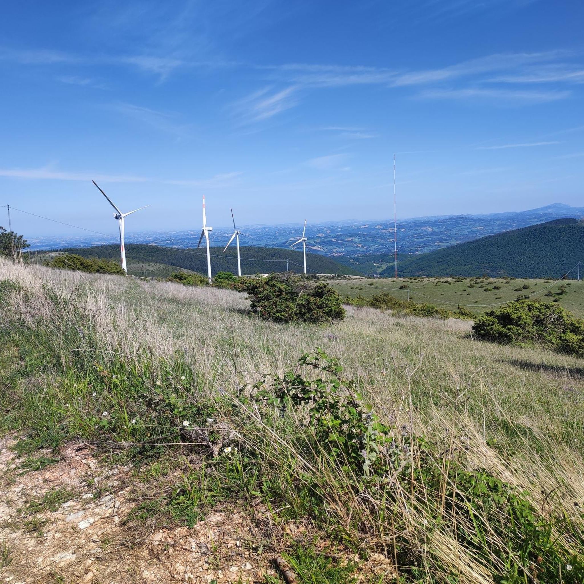
There is a large antenna at the top of Monte d'Aria, but on the other side there is a beautiful and vast view.
1
0

Castel San Venanzio is a fraction of Serrapetrona, known for the church dedicated to San Venanzio, a martyr of the fourth century. It is situated in a panoramic position on the valley of the Chienti river and is crossed by the "strada della Vernaccia", an itinerary that crosses the vineyards of Serrapetrona, famous for its red sparkling wine.
1
0
Serrapetrona is a small village in the province of Macerata, famous for the production of Vernaccia di Serrapetrona DOCG, a natural red sparkling wine made from dried grapes. The municipal territory is included in the Site of Community Interest of Monte Letegge and Monte d'Aria.
1
0

Beautiful view from the Adriatic with the Conero to Mount Cucco and the whole Apennine arc
2
0
Frequently Asked Questions
How many hiking trails are available around Serrapetrona?
Serrapetrona offers over 120 hiking routes, catering to various preferences. You'll find a good mix of challenges, with about 37 easy trails, 67 moderate routes, and 19 more difficult options for experienced hikers.
What kind of terrain and elevation changes can I expect on hikes around Serrapetrona?
The terrain around Serrapetrona is quite diverse, ranging from rich forested environments at the foothills of the Sibillini Mountains to paths along the Cesolone stream and Chienti River valley. You can expect varied elevation changes; for instance, the Serrapetrona – Castel San Venanzio loop features significant ascents and descents, while routes like the Castello di Pievefavera – Panoramic View of Vestignano loop have more moderate elevation gains.
When is the best time of year to hike in Serrapetrona?
Serrapetrona is enjoyable for hiking across multiple seasons. Warmer days are ideal for enjoying the clean waters of Lago di Fiastra, while the abundant forests and mountainous terrain offer beautiful scenery in spring, summer, and autumn. The region's diverse flora and fauna are particularly vibrant during spring and early summer.
Are there family-friendly hiking options in Serrapetrona?
Yes, Serrapetrona offers trails suitable for families. For example, the “The Little Waterfalls of the Elves” loop from Caldarola is an 11.6 km trail with relatively easy terrain and modest elevation gain, making it a good choice for a family outing.
Can I bring my dog on the hiking trails in Serrapetrona?
Many trails in the Serrapetrona area are suitable for dogs, especially those that traverse forests and open natural landscapes. It's always recommended to keep your dog on a leash, especially in areas with wildlife or near livestock, and to check specific trail regulations if available.
What natural landmarks or historical sites can I explore while hiking in Serrapetrona?
You can discover several notable features. The striking Lame Rosse geological formations offer a unique red-colored landscape. For historical exploration, consider routes that pass by the Sanctuary of Madonna del Sasso (Abbadia Saxi Latronis), nestled in a holm oak forest, or the Historic Center of Tolentino – Devil's Bridge loop which includes historical landmarks.
Are there circular hiking routes available in Serrapetrona?
Yes, many of the hiking routes around Serrapetrona are circular, allowing you to start and end at the same point. Examples include the challenging Serrapetrona – Castel San Venanzio loop, the scenic Castello di Pievefavera – Panoramic View of Vestignano loop, and the Serrapetrona loop from Serrapetrona.
Is parking available at the trailheads in Serrapetrona?
Parking is generally available near the starting points of many popular trails and in the towns and villages surrounding Serrapetrona, such as Serrapetrona itself or Caldarola. It's advisable to check local signage for any specific parking restrictions or fees.
What do other hikers appreciate most about the trails in Serrapetrona?
The trails in Serrapetrona are highly rated by the komoot community, with an average score of 4.4 stars from over 300 reviews. Hikers often praise the diverse landscapes, from forested mountains to unique geological formations like the Lame Rosse, and the scenic lake views, noting the variety of options for different ability levels.
Are there any trails featuring waterfalls in the Serrapetrona area?
Yes, you can find trails that feature waterfalls. The “The Little Waterfalls of the Elves” loop from Caldarola is a notable route that highlights these charming natural features.
How can I reach the hiking trails around Serrapetrona using public transport?
While Serrapetrona is a smaller comune, public transport options like local bus services connect it to larger towns in the Marche region. From these towns, you may be able to access trailheads. However, for direct access to many specific hiking routes, a car is often the most convenient option.
Are there any opportunities to see castles or ancient architecture while hiking?
Absolutely. The region is rich in history. You can explore routes that pass by ancient architecture in Serrapetrona's historic center or visit nearby castles. Highlights include Statte Castle, Castello di Gagliole, and Pitino Castle, which can be incorporated into your hiking plans.
Most popular routes around Serrapetrona
Most popular attractions around Serrapetrona

Get inspired with the komoot mobile app


Explore more
Browse the best Hikes in other regions.
