The best walks and hikes around Biddamanna Istrisàili/Villagrande Strisaili
4.4
(346)
1,456
hikers
17
hikes
Hiking trails around Biddamanna Istrisàili/Villagrande Strisaili offer a diverse landscape for outdoor activities in central-eastern Sardinia. Situated on the southern slopes of the Gennargentu massif at an elevation of 750 meters, the region features rugged natural beauty. It is characterized by steep rocky cliffs, ancient oak forests, and a network of rivers and springs. This environment provides panoramic views across the Ogliastra plains to the Gulf of Arbatax.
Best hiking trails around Biddamanna Istrisàili/Villagrande Strisaili
- The most popular hiking route…
Last updated: August 3, 2026
4.7
(22)
96
hikers
17.9km
06:00
690m
690m
Hard hike. Very good fitness required. Sure-footedness, sturdy shoes and alpine experience required.
4.5
(11)
44
hikers
6.55km
02:22
280m
280m
Hard hike. Good fitness required. Sure-footedness, sturdy shoes and alpine experience required.

Sign up for free
4.9
(8)
40
hikers
13.9km
04:35
530m
530m
Hard hike. Good fitness required. Sure-footedness, sturdy shoes and alpine experience required.
4.5
(66)
194
hikers
13.9km
04:05
410m
410m
Moderate hike. Good fitness required. Easily-accessible paths. Suitable for all skill levels.
4.8
(95)
449
hikers
10.1km
03:46
350m
350m
Hard hike. Good fitness required. Sure-footedness, sturdy shoes and alpine experience required.
Get access to more routes and recommendations from other explorers.
Sign up for free
Already have an account?
Our route recommendations are based on thousands of hikes, rides, and runs completed by other people on komoot.
Start today with a free account
Your next adventure awaits.
Login or Signup
Popular around Biddamanna Istrisàili/Villagrande Strisaili
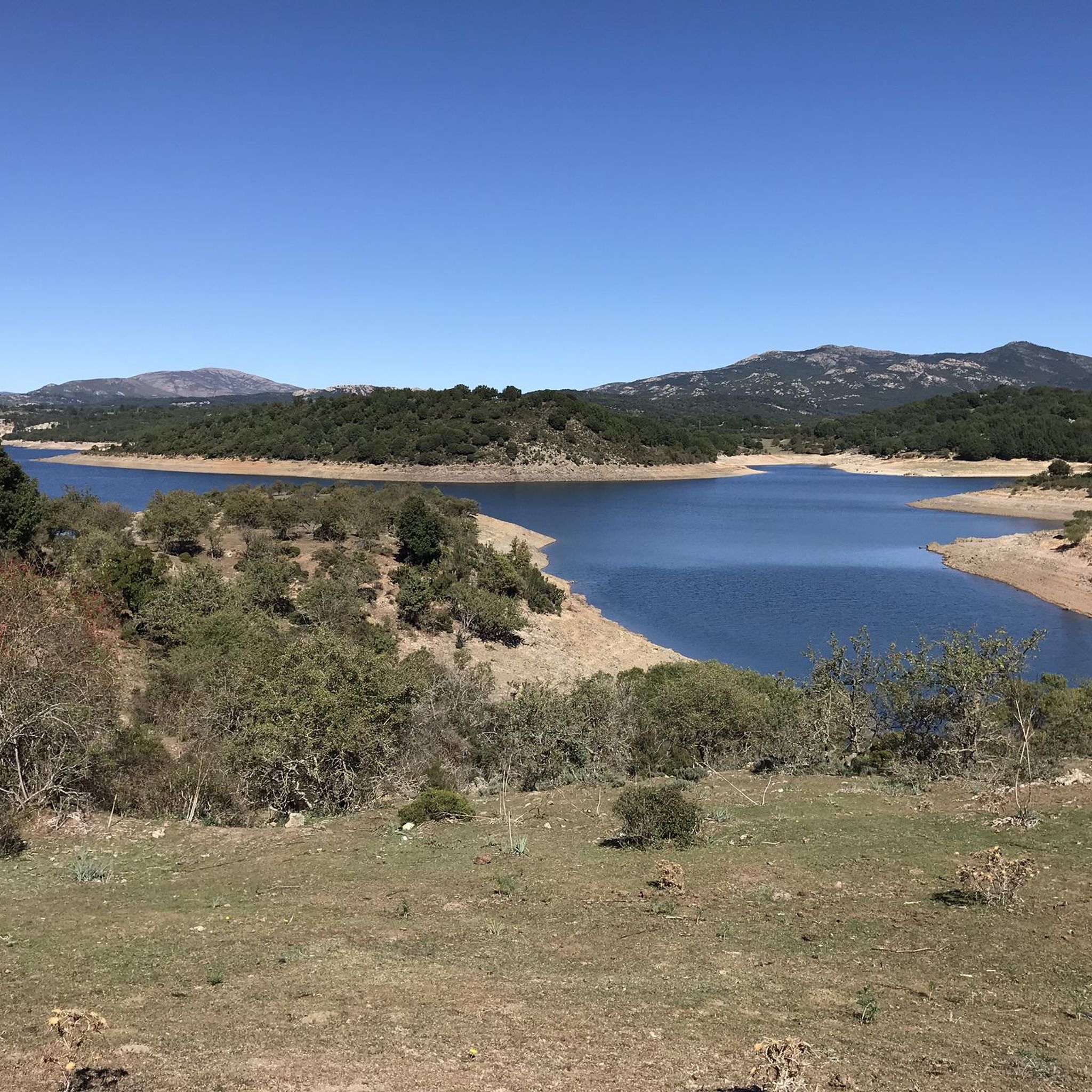
Road Cycling Routes around Biddamanna Istrisàili/Villagrande Strisaili
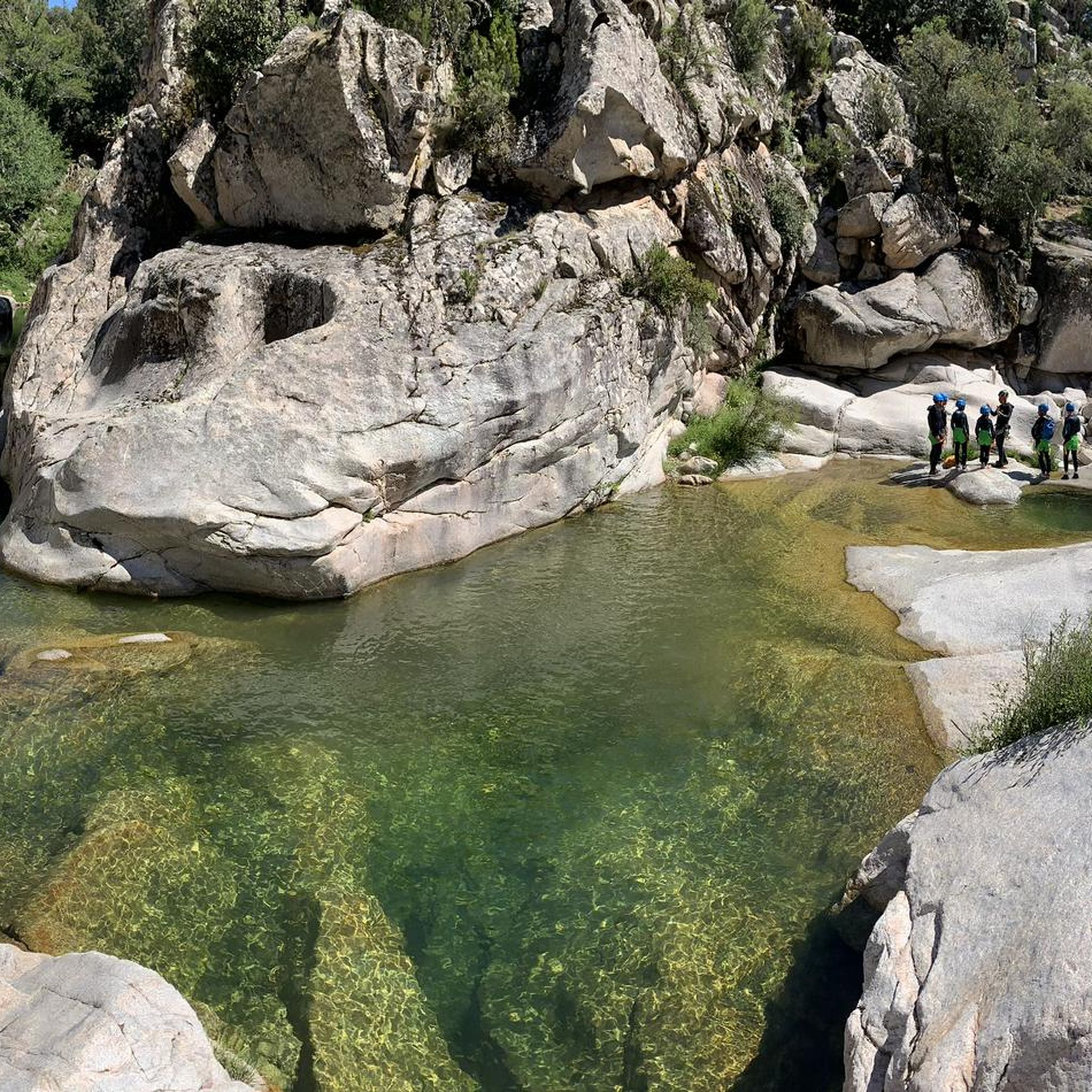
Running Trails around Biddamanna Istrisàili/Villagrande Strisaili
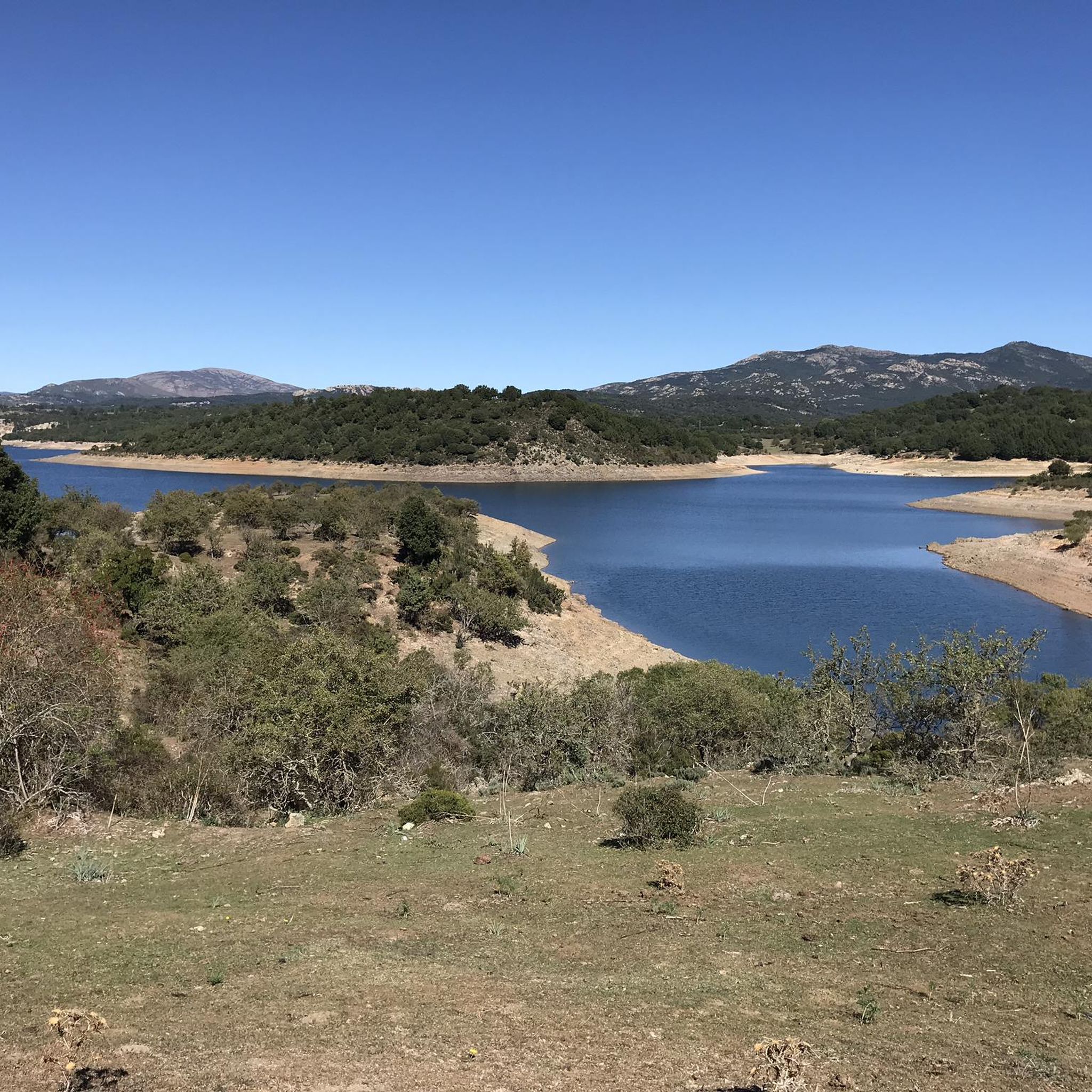
MTB Trails around Biddamanna Istrisàili/Villagrande Strisaili

Gravel biking around Biddamanna Istrisàili/Villagrande Strisaili
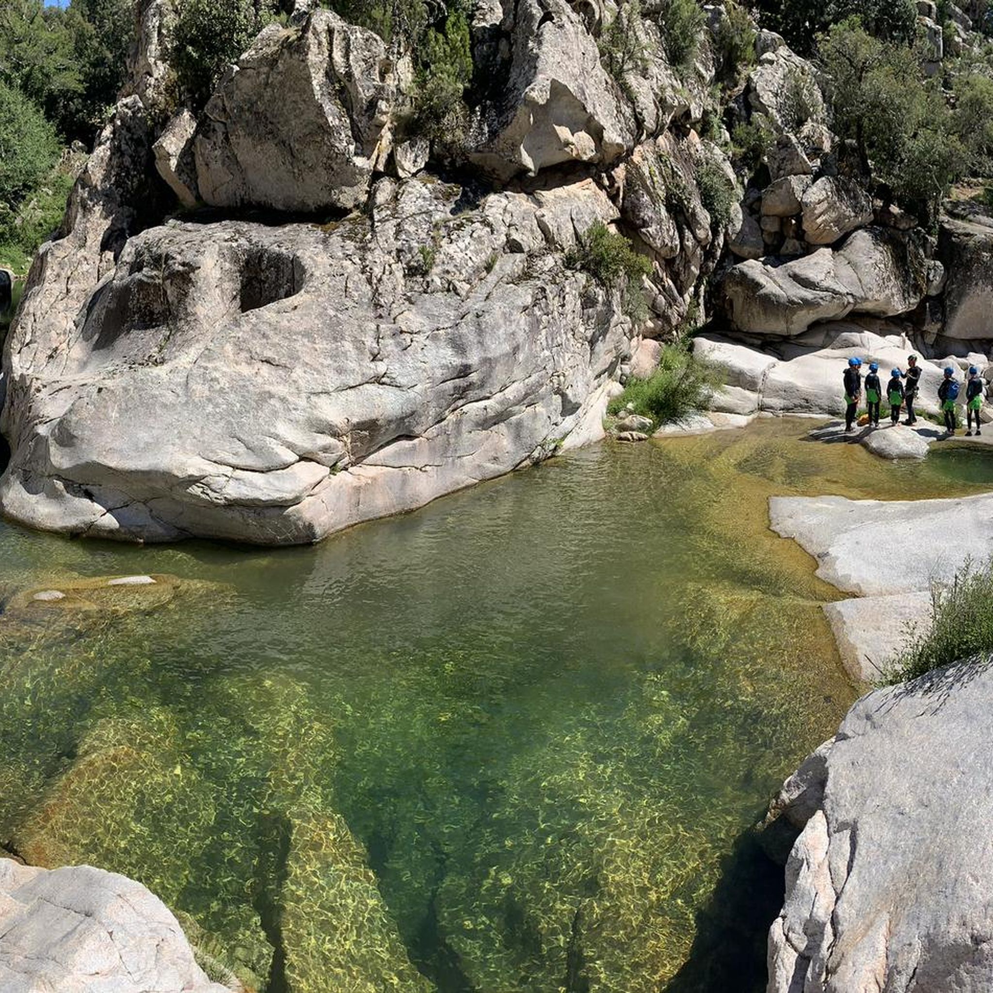
Cycling around Biddamanna Istrisàili/Villagrande Strisaili

Mountain Hikes around Biddamanna Istrisàili/Villagrande Strisaili
Tips from the Community

The Monti del Gennargentu form the highest mountain range in Sardinia and the "roof of the island". It is located in the heart of Barbagia. The rugged, rocky mountain world is home to Punta La Marmora (1,834 m), the highest peak in Sardinia, as well as historical Nuragic villages, and offers fantastic hiking opportunities.
1
0

Great view. Beautiful area.
2
0

Entrance to the nature park, which is a wonderful place to hike thanks to the many signposts. There are lovely picnic areas along the way. There's also a picnic area at the entrance with plenty of tables and benches. There's also a restaurant along the road. If you arrive by car, don't park on the road; you can easily park in the picnic area. There are plenty of parking spaces here. (This photo, by the way, is from the cycling highlight of the same name. I thought this highlight already existed for hikers, so I didn't take a photo myself.)
0
0
Hidden picnic area with tables and benches in the forest at a spring
0
0

On Monte IDOLO, hikers will not come across a summit cross - as is often the case. The small sacred monument that instead rises above Sardinia is a statue of SAN MICHELE ARCANGELO. The heavenly messenger is equipped with powerful wings, which give him an imposing figure. However, one will look in vain for a sword or a lance, which are often given to him as an attribute.
0
0
It may not be obvious that Sardinia's highest mountain is crowned by an imposing summit cross, but it seems completely natural to the mountain hiker. A base made of natural stone from the surrounding area forms the lower level of this small sacred monument. A round column bears the Latin inscription "Ave Crux spes unica" (loosely translated "Hail [holy] cross, [you] our only hope") and continues further up - almost seamlessly - into the longitudinal beam of the cross. Like many other summit crosses, it is comparatively simple in its design and has no corpus, but is certainly dignified.
2
1

Fantastic view over the mountains & the bay of Arbatax
0
0
Frequently Asked Questions
How many hiking trails are available in Biddamanna Istrisàili/Villagrande Strisaili?
There are over 15 hiking trails in the Biddamanna Istrisàili/Villagrande Strisaili region, offering a variety of experiences from moderate walks to challenging mountain ascents.
What is the best time of year to go hiking in Biddamanna Istrisàili/Villagrande Strisaili?
The region, situated at 750 meters on the southern slopes of the Gennargentu massif, offers pleasant hiking conditions in spring and autumn. Summers can be hot, especially at lower elevations, while winters may bring snow to the higher peaks of the Gennargentu, making them suitable for experienced hikers with appropriate gear.
What do other hikers enjoy most about the trails in Biddamanna Istrisàili/Villagrande Strisaili?
The trails in Biddamanna Istrisàili/Villagrande Strisaili are highly rated by the komoot community, with an average score of 4.5 stars from over 340 reviews. Hikers frequently praise the rugged mountain terrain, ancient oak forests, and the dramatic waterfalls found throughout the area.
Are there easy hiking trails suitable for beginners or casual walkers?
Yes, out of the 16 available routes, 3 are classified as easy, making them suitable for beginners or those looking for a more relaxed walk. These trails often lead through picturesque woodlands or offer gentle ascents with rewarding views.
Can I find challenging mountain hikes in the area?
Absolutely. The region is part of the Gennargentu massif, offering 7 difficult routes for experienced hikers. One notable challenging route is the Punta la Marmora — Ring tour in the Gennargentu Mountains, which ascends Sardinia's highest peak and provides extensive island-wide views.
Are there any circular hiking routes in Biddamanna Istrisàili/Villagrande Strisaili?
Yes, several circular routes are available. For example, the Monte Bruncu Spina e Punta Paulinu — Ring Tour offers a loop through prominent mountain areas, and the Genna Roper – View of the Mountains loop from Valico Strisaili provides a scenic circular walk with mountain views.
Are there any waterfalls to see on the hikes?
Yes, the region is known for its dramatic waterfalls. You can visit the spectacular Sothai Falls (Cascata di Sothai) where the Flumendosa river plunges into the Bau Vigo canyon. The Pirincanes Gorge also features the Rio 'e Forru Falls, offering a taste of wild nature. You can find highlights like Pirincanes Waterfall and Waterfalls of Monti del Gennargentu.
What natural landmarks or viewpoints can I explore while hiking?
The area boasts stunning natural landmarks and viewpoints. You can hike to the Summit of Punta La Marmora for unparalleled island-wide views, or explore Mount Bruncu Spina. Other notable features include Monte Suana, Mounts Isadalu, Orguda, and Monte Idòlo, all offering various hiking opportunities across high plains and valleys.
Are there any archaeological sites or historical points of interest along the trails?
Yes, the region is rich in archaeological heritage. The Parco di Santa Barbara features seven giant tombs, 17 nuraghes, and ten Nuragic villages. You can also explore S'Arcu 'e is Forros, an important Nuragic site by Flumendosa Lake, or the Troculu Complex and Sa Carcaredda Archaeological Area with additional Nuragic remains.
Are the hiking trails in Biddamanna Istrisàili/Villagrande Strisaili family-friendly?
While many trails involve rugged terrain, there are easier options suitable for families. The ancient oak forests provide shaded paths, and some natural attractions like the Sothai Falls are accessible via dedicated paths, making them enjoyable for various age groups. Always check the difficulty rating of a specific route.
Can I bring my dog on the hiking trails?
Many trails in natural areas of Sardinia are dog-friendly, but it's always advisable to keep dogs on a leash, especially in protected areas like the Gennargentu National Park, to protect local wildlife such as mouflons. Be sure to carry enough water for your pet, particularly during warmer months.
Are there options for wild swimming or natural pools after a hike?
Yes, near Villanova Strisaili, you can find the Bau Mela Natural Pools. These pools are carved from smooth granite within an 'enchanted forest' by the Bau Mela stream, creating a series of natural jumps and descents. They are an excellent spot for canyoning and offer a refreshing experience after a hike.
Where can I find parking for trailheads in the area?
Parking is generally available near popular trailheads and attractions. For instance, there is often parking access for areas like the Sothai Falls and Pirincanes Gorge. Specific parking details can vary by trailhead, so it's recommended to check local signage or tour descriptions for precise locations.
Most popular routes around Biddamanna Istrisàili/Villagrande Strisaili
Most popular attractions around Biddamanna Istrisàili/Villagrande Strisaili

Get inspired with the komoot mobile app


Explore more
Browse the best Hikes in other regions.
