The best walks and hikes around Triei
4.3
(3293)
17,035
hikers
204
hikes
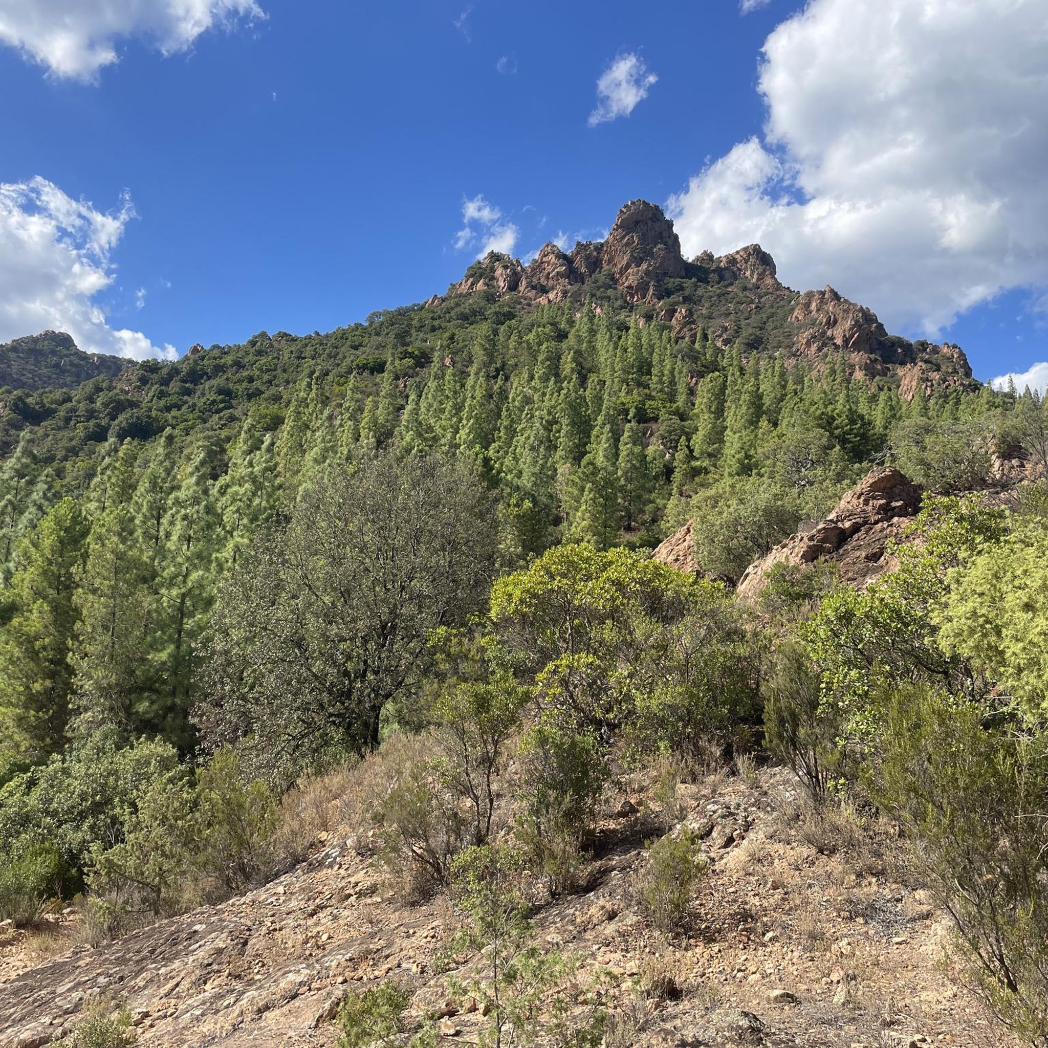
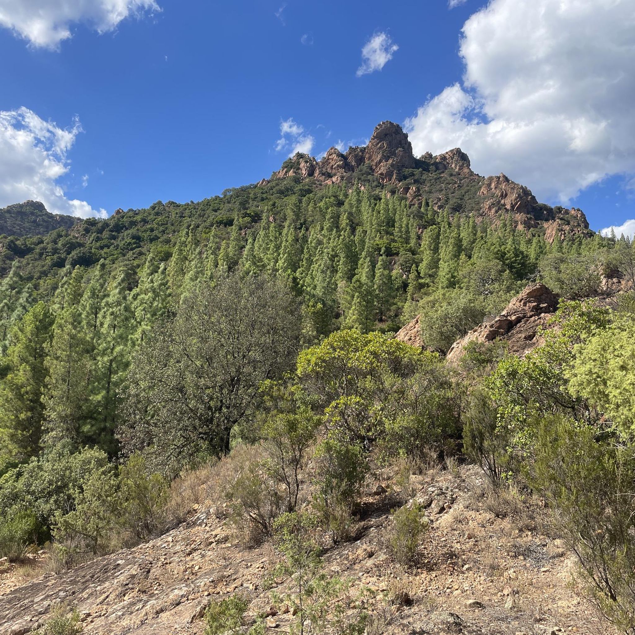
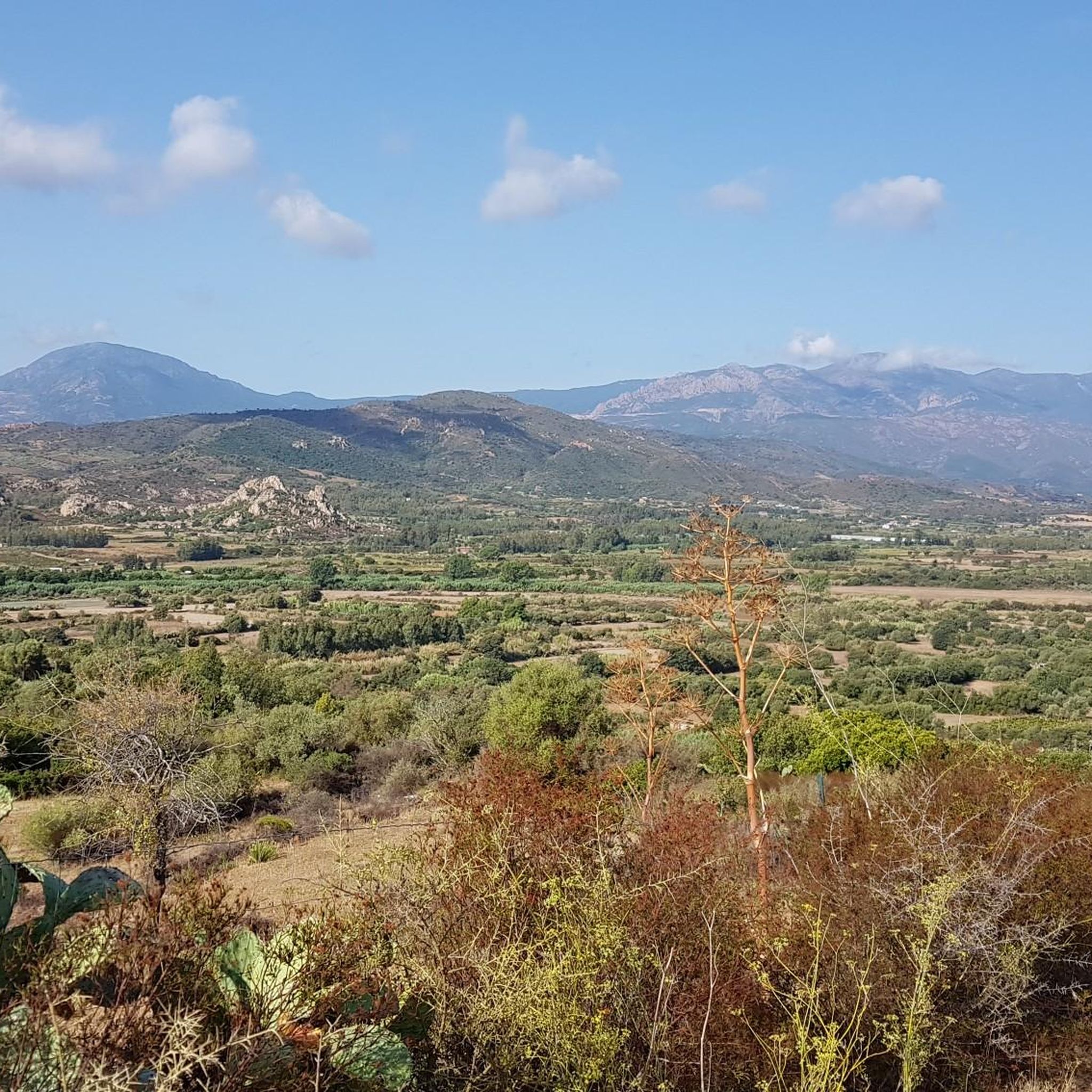
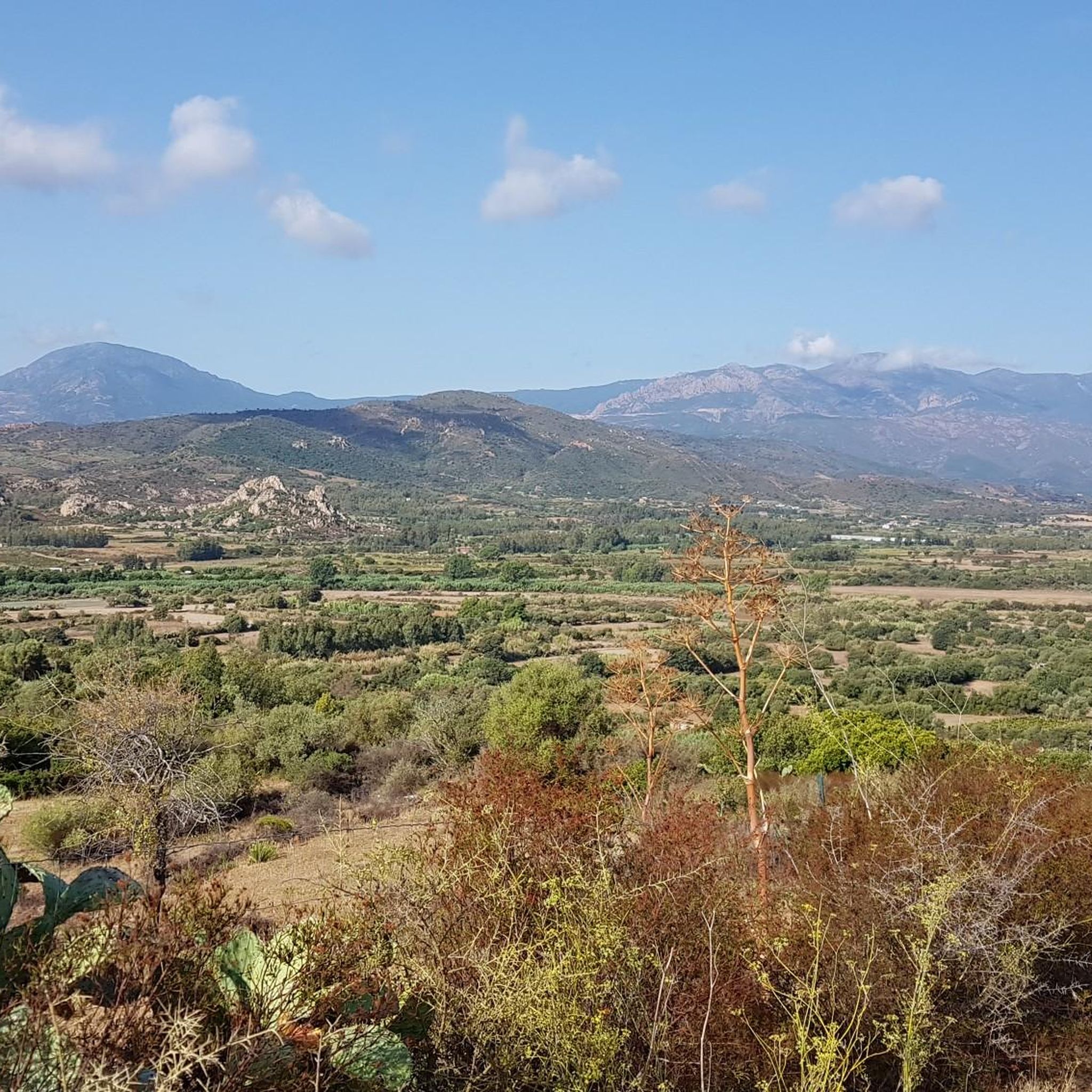
Hiking trails around Triei, located in the Ogliastra region of Sardinia, traverse a landscape characterized by rugged limestone formations, dense Mediterranean scrub, and coastal views. The area features a mix of challenging mountain paths and more accessible routes through valleys and near villages. Elevation changes are common, offering varied perspectives of the surrounding terrain.
Best hiking trails around Triei
- The most popular hiking route is View of Pedra Longa – Pedra Longa Rock Formation loop from Baunei, a 10.9…
Last updated: November 8, 2026
4.8
(111)
462
hikers
17.0km
05:35
670m
670m
Hard hike. Very good fitness required. Mostly walkable paths. Sure-footedness required.
4.6
(27)
139
hikers
15.4km
05:18
770m
770m
Hard hike. Very good fitness required. Easily walkable paths.

4.2
(20)
78
hikers
Easy hike. Easily walkable paths.
4.1
(9)
44
hikers
13.1km
04:14
500m
500m
Moderate hike. Good fitness required. Easily walkable paths.
4.6
(5)
53
hikers
15.5km
04:57
660m
660m
Moderate hike. Good fitness required. Easily walkable paths.
Get access to more routes and recommendations from other explorers.
Already have an account?
Our route recommendations are based on thousands of hikes, rides, and runs completed by other people on komoot.
Start today with a free account
Your next adventure awaits.


Tips from the Community

View towards Baia di Fòrrola
0
0

The path is very demanding over pointed karst rocks and loose stones, partly descending very steeply. Partly climbing up with the help of hands is necessary. Not recommended with shorts, as the "path" often leads through low bushes that scratch the legs. But once you've made it, you have a top view!
0
0

And also connection with the wild blue path
0
0
Definitely use the Via Pedra Longa to get to this waypoint and not the path running parallel above it according to Komoot, as it no longer seems to exist.
2
0

[Mid-September 2024] We actually almost got lost here. The tour can be done well up to the bathing spot, although it can get quite steep here. Afterwards, it's best to just go back the same way, because: No signal = no orientation. The path is only difficult to recognize in some places. Surefootedness and good footwear are recommended. It's best to start the hike in the morning when it's cooler and don't forget to bring drinks.
0
0

Ovile Us Piggius is an ancient sheepfold located in the Supramonte of Baunei. The Selvaggio Blu, one of Sardinia's most spectacular treks, passes through here. This place is an ideal base for those embarking on this extraordinary adventure.
0
0

After the sea, back to the mountains... worth seeing!
0
0
Not a recommended hike. Only scree slopes down and up. No clear path on the extremely steep climb. Life-threatening. Despite being in good shape, we reached our limits and were so glad to finally reach the top again☹️
0
0
Frequently Asked Questions
How many hiking trails are available around Triei?
Triei offers a wide variety of hiking experiences, with over 200 routes available. These include 67 easy trails, 72 moderate routes, and 62 difficult paths, catering to all skill levels.
Are there easy hiking trails suitable for beginners or families in Triei?
Yes, Triei has numerous easy trails perfect for beginners or families. One such option is the View of Baunei and the Ogliastra – Baunei’s narrow alleys loop from Baunei, which is 3.0 miles (4.9 km) long and takes about 1 hour 32 minutes to complete, offering pleasant views and a stroll through village alleys.
Where can I find challenging hikes around Triei?
For experienced hikers seeking a challenge, Triei offers 62 difficult routes. A notable option is the View of Pedra Longa – Pedra Longa Rock Formation loop from Baunei, a demanding 10.9-mile (17.6 km) trail that takes approximately 5 hours 43 minutes and provides expansive views of the iconic Pedra Longa rock formation and the coastline.
What are some notable landmarks or natural attractions to see while hiking near Triei?
The region around Triei is rich in natural beauty. Hikers can explore the impressive Pedra Longa Rock Formation, discover the stunning Cala Goloritzé beach, or marvel at the Arbatax Red Rocks. Many trails also feature unique geological formations like the Natural Arch on the Cala Goloritzé Trail.
Are there any circular hiking routes in the Triei area?
Yes, many routes around Triei are circular, offering convenient starting and ending points. An example of a challenging loop is the Monte Oro Trail – View of Baunei and the Ogliastra loop from Baunei, a 9.6-mile (15.4 km) path providing panoramic vistas of Baunei and the wider Ogliastra region.
What do other hikers enjoy the most about hiking in Triei?
The hiking trails around Triei are highly rated by the komoot community, with an average score of 4.4 stars from over 2,800 reviews. Hikers frequently praise the diverse landscape, from rugged limestone formations to dense Mediterranean scrub, and the stunning coastal views that define the region.
What is the best time of year to go hiking in Triei?
The best time for hiking in Triei is typically during the spring (April-May) and autumn (September-October) months. During these periods, the weather is pleasantly mild, and the natural scenery is vibrant, making for ideal hiking conditions. Summers can be very hot, especially at midday.
Are there any caves or unique geological features to explore near Triei?
Absolutely. The Triei area is known for its fascinating caves and geological formations. You can find highlights such as the Path with Caves in Cala Goloritzé Gorge, the Shepherds' Cave on the Path to Cala Goloritzé, and the impressive Su Sterru Sinkhole.
What should I bring for a hike in Triei?
Given the varied terrain and potential for elevation changes, it's advisable to bring sturdy hiking shoes, sufficient water, sun protection (hat, sunscreen), and layers of clothing. A map or GPS device is also recommended, especially for longer or more challenging routes.
Are there any moderate hikes that offer great views around Triei?
Yes, there are 72 moderate routes available. The View of Baunei and the Ogliastra – Giràdili Point loop from Baunei is a moderate 8.1-mile (13.1 km) trail that takes about 4 hours 13 minutes, offering beautiful vistas of Baunei and the Ogliastra region.
Is it possible to hike in Triei during winter?
Winter hiking in Triei is generally possible, as the climate in Sardinia is mild. However, some higher elevation trails might be more exposed to wind or occasional colder temperatures. Always check local weather forecasts and trail conditions before heading out during the winter months.
Where can I find parking for hiking routes in Triei?
Parking availability varies by trailhead. Many popular starting points, especially near villages like Baunei, offer designated parking areas. It's often best to check specific route descriptions or local signage for the most convenient parking options for your chosen hike.
Most popular attractions around Triei

Get inspired with the komoot mobile app


Explore more
Browse the best Hikes in other regions.
