The best walks and hikes around Jersu/Jerzu
4.4
(2312)
8,795
hikers
195
hikes
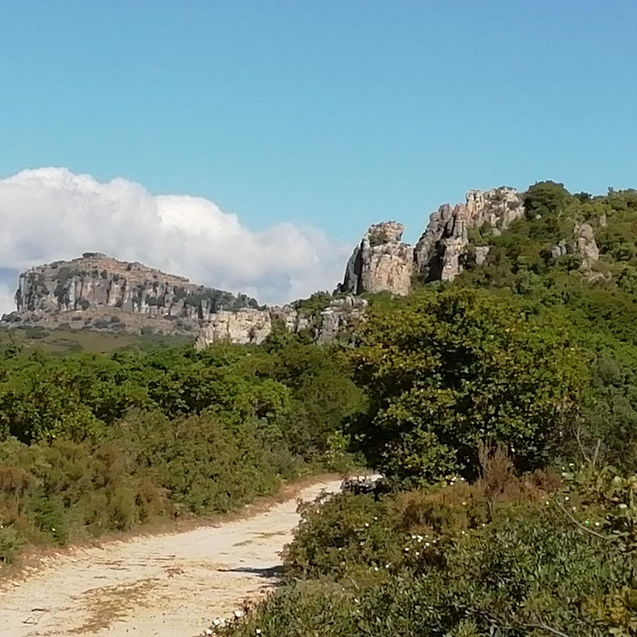
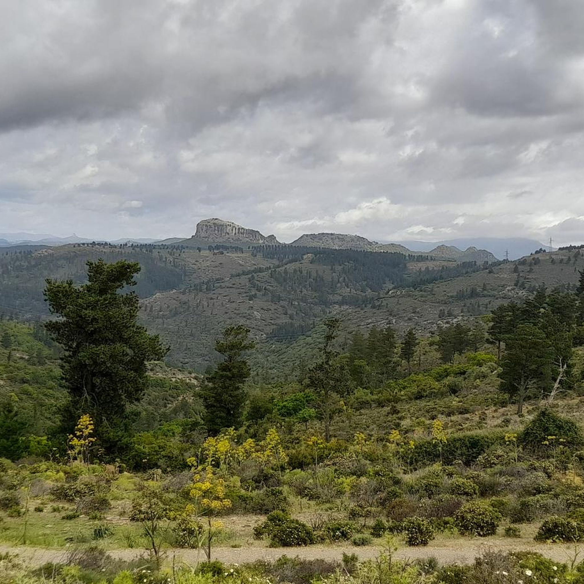
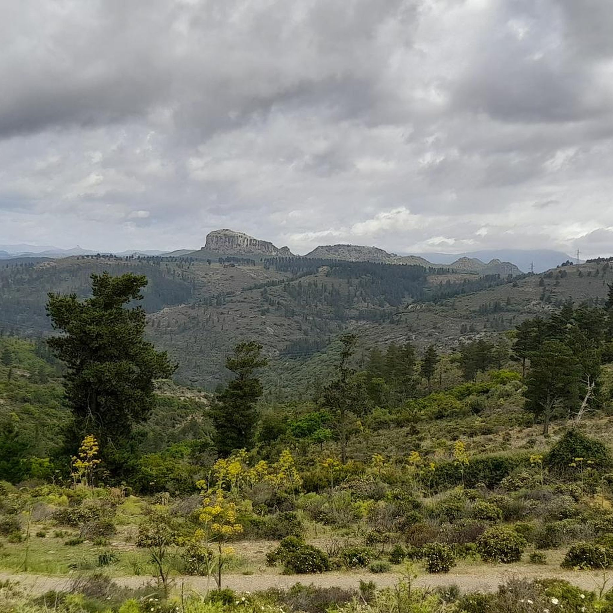
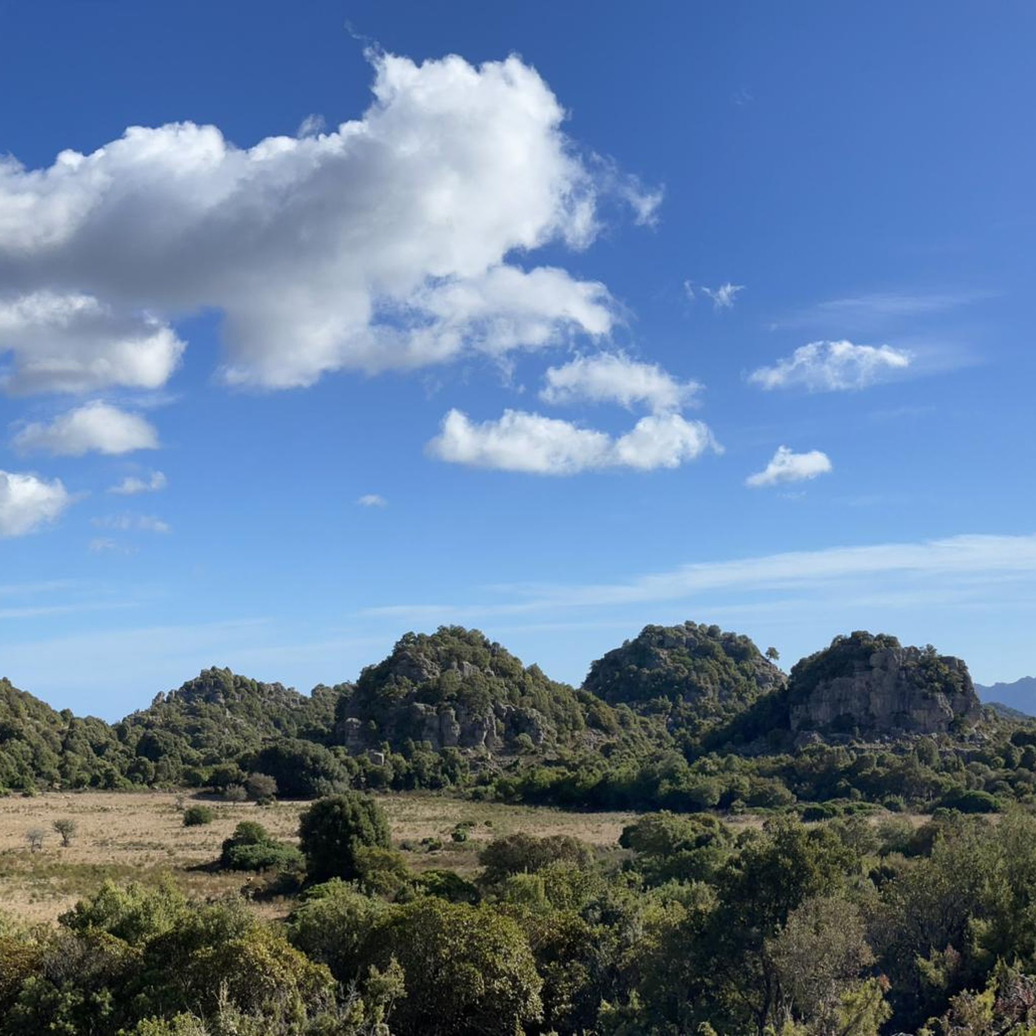
Hiking around Jersu/Jerzu offers access to a diverse landscape in Sardinia's Ogliastra region. The area is characterized by rugged limestone formations, deep canyons, and Mediterranean scrubland. These include the dramatic "Tacchi d'Ogliastra," towering limestone formations that provide a backdrop for various activities. Trails often lead through valleys and offer views of the surrounding hills, alongside ancient forests and vineyards.
Best hiking trails around Jersu/Jerzu
- The most popular hiking route is Ulassai Village – Bruncu Matzeu Summit (955 m) loop from…
Last updated: November 7, 2026
4.9
(35)
113
hikers
4.65km
01:29
180m
180m
Easy hike. Easily walkable paths.
4.7
(38)
110
hikers
Hard hike. Very good fitness required. Easily walkable paths.

4.6
(16)
43
hikers
3.69km
01:19
170m
180m
Hard hike. Sure-footedness, sturdy shoes and alpine experience required.
4.3
(6)
31
hikers
10.1km
03:14
380m
380m
Moderate hike. Good fitness required. Mostly walkable paths. Sure-footedness required.
4.3
(17)
54
hikers
13.0km
03:57
440m
430m
Moderate hike. Good fitness required. Easily walkable paths.
Get access to more routes and recommendations from other explorers.
Already have an account?
Our route recommendations are based on thousands of hikes, rides, and runs completed by other people on komoot.
Start today with a free account
Your next adventure awaits.

Tips from the Community

It's not far to the summit from here, but not everyone will want to tackle the altitude gain in the sometimes very hot weather. This viewpoint is sufficient for a spectacular photo. The path to the summit is still worth it and highly recommended.
1
0
Also noteworthy here is the "town sign". A work by artist Marcello Maloberti, installed in 2019, which symbolizes the connection between the town, the landscape, and the artist.
1
0
A 2019 work by artist Marcello Maloberti, symbolizing the connection between place, landscape, and the artist.
1
0

Mandatory stop. The cave is absolutely spectacular and fully worth the ticket price (12€, for a 90-minute guided tour).
4
0
It is a church that cannot fail to catch the eye, due to the particular and vibrant blue color of its facade, suggested by Maria Lai. Inside this church, you can admire the 13 stations created by Maria Lai herself.
5
0

A unique church, it stands out for its light blue colour
2
0

Stunningly beautiful loop which gives you the mountain top view of the area for miles around ! Well worth it.
1
0
Frequently Asked Questions
How many hiking trails are available around Jersu/Jerzu?
There are nearly 200 hiking routes around Jersu/Jerzu, offering a wide range of experiences. This includes 70 easy trails, 114 moderate routes, and 11 more challenging hikes, catering to various skill levels.
What kind of terrain can I expect on hikes in Jersu/Jerzu?
The region is characterized by rugged limestone formations, deep canyons, and Mediterranean scrubland. Trails often lead through valleys and offer panoramic views of the surrounding hills and, in some areas, the distant sea. You'll encounter varied terrain from gentle paths to more challenging ascents.
Are there any easy hiking trails suitable for beginners or families?
Yes, Jersu/Jerzu offers 70 easy hiking trails. An excellent option for a less strenuous walk is the Grotta de Is Janas – Trail to the Bruncu Matzeu summit loop from Ulassa/Ulassai, which is an easy 5.9 km route.
Are there any circular hiking routes around Jersu/Jerzu?
Many of the trails in the area are circular. For example, the popular Ulassai Village – Bruncu Matzeu Summit (955 m) loop from Ulassa/Ulassai is a moderate 9.2 km loop offering panoramic views. Another option is the Ulassai Town Entrance Sign – Theleme Cave Climbing Crag loop from Ulassa/Ulassai, a moderate 4.6 km loop that explores notable rock formations.
What are some natural attractions or landmarks to see while hiking?
The region boasts several impressive natural attractions. You can explore the famous Su Marmuri Cave, discover the Is Piscinas Pools and Waterfalls, or marvel at the unique Sa Perda Stampada Rock Window. The dramatic Scala di San Giorgio gorge is also a significant landmark.
Are there any hikes that offer great viewpoints?
Absolutely. Many trails provide stunning vistas of the Ogliastra region. The Ulassai Village – Bruncu Matzeu Summit (955 m) loop from Ulassa/Ulassai is known for its panoramic views from the summit. Additionally, the View of Ulassai and surrounding cliffs highlight offers a fantastic perspective of the landscape.
What is the best season for hiking in Jersu/Jerzu?
The Mediterranean climate of Sardinia makes spring (April-May) and autumn (September-October) ideal for hiking in Jersu/Jerzu. Temperatures are milder, and the landscape is vibrant. Summer can be very hot, making early morning or late afternoon hikes preferable, while winters are generally mild but can have more rainfall.
What do other hikers say about the trails in Jersu/Jerzu?
The hiking routes in Jersu/Jerzu are highly rated by the komoot community, with an average score of 4.5 stars from over 1,700 reviews. Hikers often praise the diverse terrain, the stunning limestone cliffs, and the beautiful views of the surrounding area.
Are there any longer, more challenging hikes available?
While most routes are moderate, there are 11 difficult trails for experienced hikers. For a longer moderate challenge, consider the Ulassai Canyon – Ulassai Town Entrance Sign loop from Ulassa/Ulassai, a 13 km route with significant elevation gain, or the Ulassai Village – View of Ulassai loop from Òsini/Osini, which is 11.7 km long and offers varied terrain.
Are there opportunities for wild swimming after a hike?
Yes, the Is Piscinas Pools and Waterfalls highlight offers a refreshing spot to cool down after exploring the trails. It's a popular natural attraction where you can enjoy the natural pools.
Is Jersu/Jerzu suitable for dog-friendly walks?
Many trails in the Jersu/Jerzu area are suitable for dogs, especially those in natural, less crowded areas. It's always recommended to keep dogs on a leash, especially near livestock or in protected areas, and to carry enough water for both yourself and your pet.
What should I wear for hiking in Jersu/Jerzu?
Given the rugged terrain and Mediterranean climate, it's advisable to wear sturdy hiking shoes with good grip. Layered clothing is recommended to adapt to changing temperatures, especially if hiking in spring or autumn. Don't forget sun protection, a hat, and plenty of water, particularly during warmer months.
Most popular routes around Jersu/Jerzu
Most popular attractions around Jersu/Jerzu

Get inspired with the komoot mobile app


Explore more
Browse the best Hikes in other regions.
