The best road cycling routes around Gàiru/Gairo
4.2
(113)
2,485
riders
91
rides
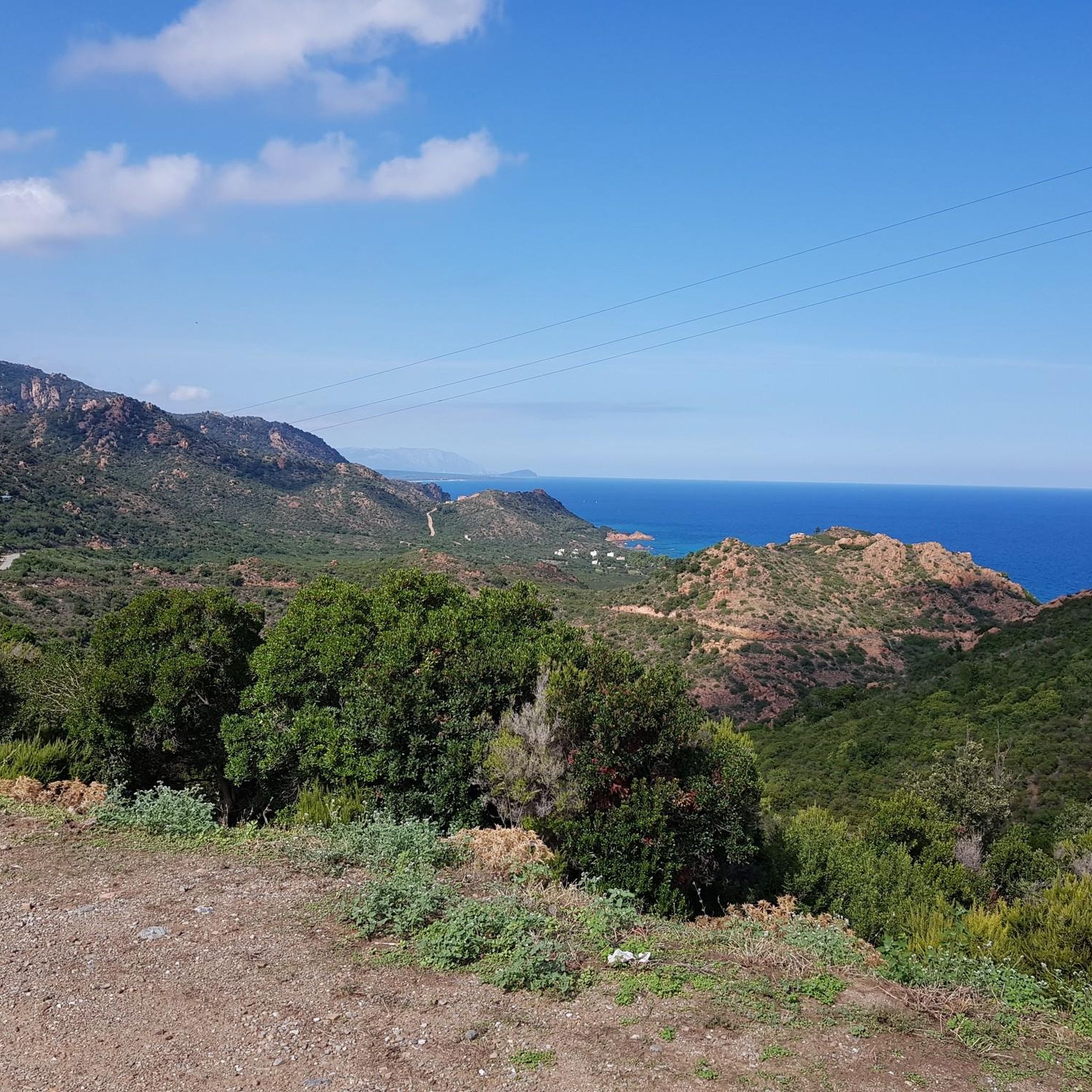
Road cycling around Gàiru/Gairo offers routes through varied terrain, from the mountainous landscapes of the Gennargentiu Mountains to coastal roads and routes connecting local villages. The region is characterized by its elevation changes, providing challenging climbs and descents, alongside sections that traverse valleys and offer views of the Sardinian coastline. Road cyclists can expect a mix of winding mountain roads and more open stretches.
Best road cycling routes around Gàiru/Gairo
- The most popular road cycling route is Ring in the Gennargentiu Mountains from Gairo Taquisara, a 35.1 miles (56.5 km) trail that takes 3 hours 7 minutes to complete. This difficult route features significant elevation gain through mountainous terrain.
- Another top favourite among local road cyclists is Arbatax Red Rocks – Torre di Barì loop from Perd e Pera, a moderate 35.6 miles (57.4 km) path. This route offers coastal views and passes by notable rock formations.
- Local road cyclists also love the Cardedu Beach – Jerzu loop from Barì/Bari Sardo, a 29.9 miles (48.2 km) trail leading through coastal areas and inland villages, often completed in about 2 hours 30 minutes.
- Road cycling around Gàiru/Gairo is defined by mountain roads, coastal paths, and routes connecting traditional villages. The network offers options for easy, moderate, and difficult challenges, catering to various skill levels.
- The routes in Gàiru/Gairo are highly rated by the komoot community with an average score of 4.4 stars from over 100 reviews. More than 2000 road cyclists have used komoot to explore Gàiru/Gairo's varied terrain.
Last updated: May 11, 2026
12
riders
56.5km
03:07
1,150m
1,150m
Hard road ride. Very good fitness required. Some segments of this route may be unpaved and difficult to ride.
4.6
(8)
152
riders
57.4km
02:29
410m
410m
Moderate road ride. Good fitness required. Some segments of this route may be unpaved and difficult to ride.

Sign up for free
4.3
(3)
53
riders
48.0km
02:30
810m
810m
Moderate road ride. Good fitness required. Mostly well-paved surfaces and easy to ride.
5.0
(6)
132
riders
67.4km
03:42
1,370m
1,370m
Hard road ride. Very good fitness required. Mostly well-paved surfaces and easy to ride.
5.0
(1)
33
riders
52.2km
02:36
770m
770m
Moderate road ride. Good fitness required. Mostly well-paved surfaces and easy to ride.
Get access to more routes and recommendations from other explorers.
Sign up for free
Already have an account?
Our route recommendations are based on thousands of hikes, rides, and runs completed by other people on komoot.
Start today with a free account
Your next adventure awaits.
Login or Signup
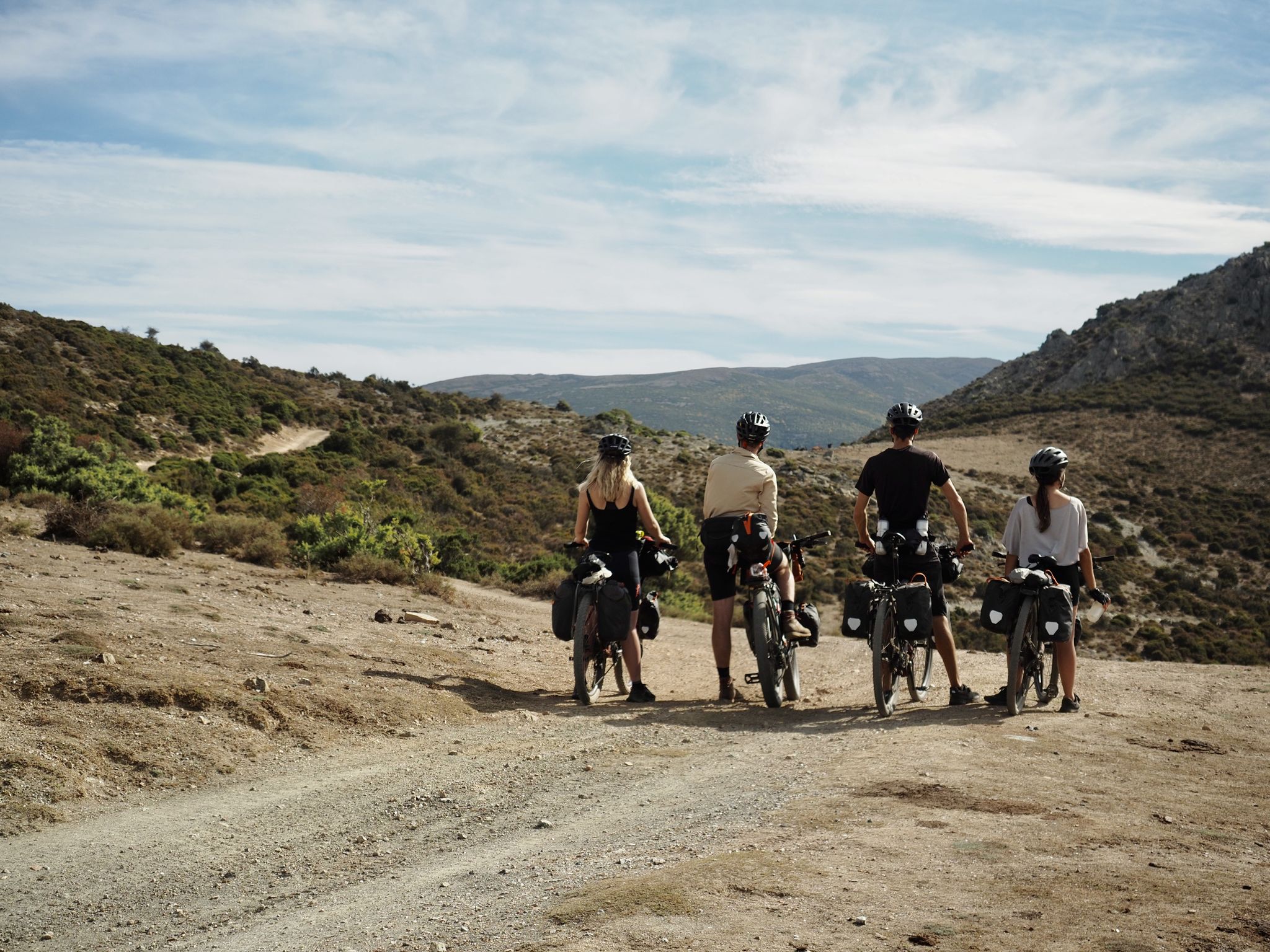
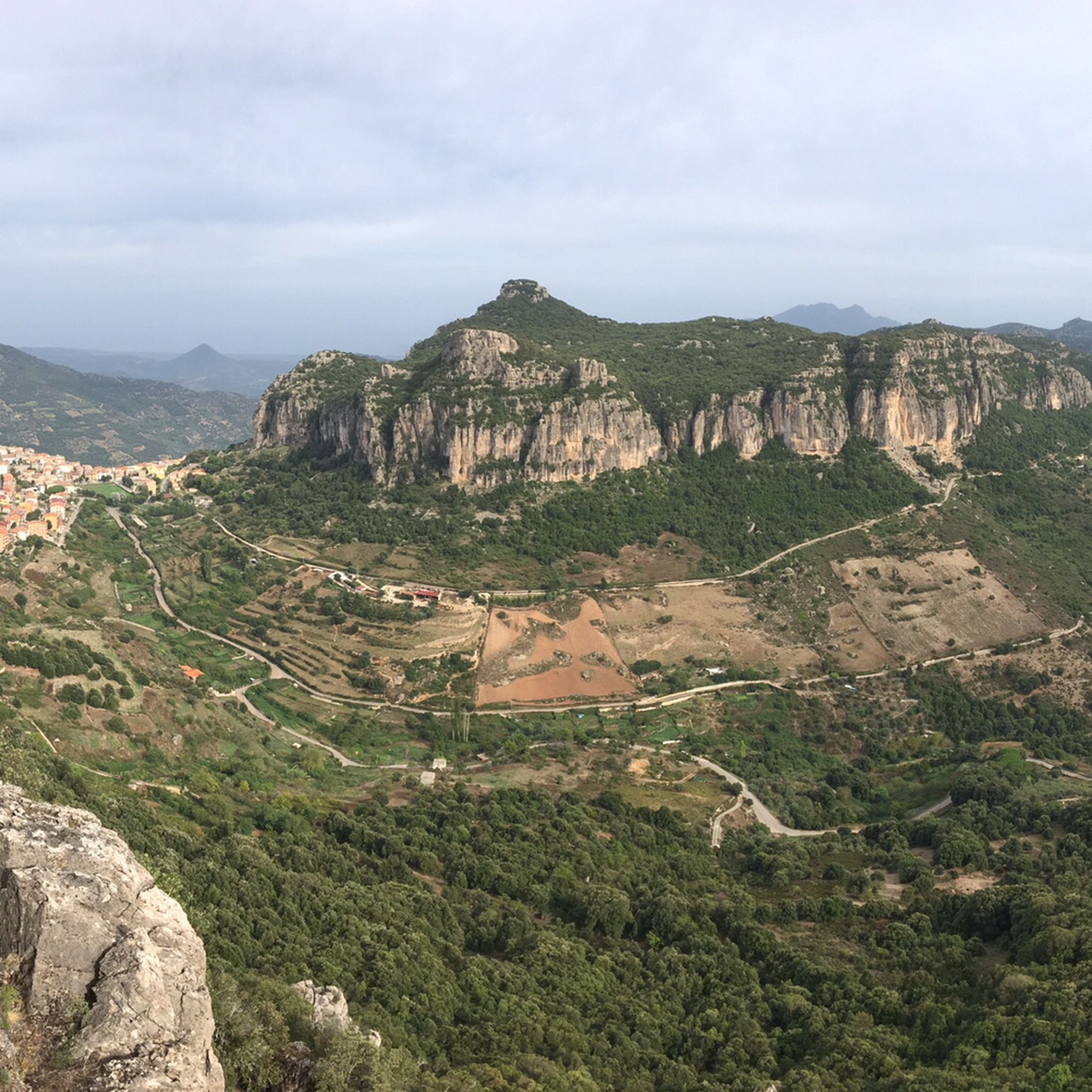
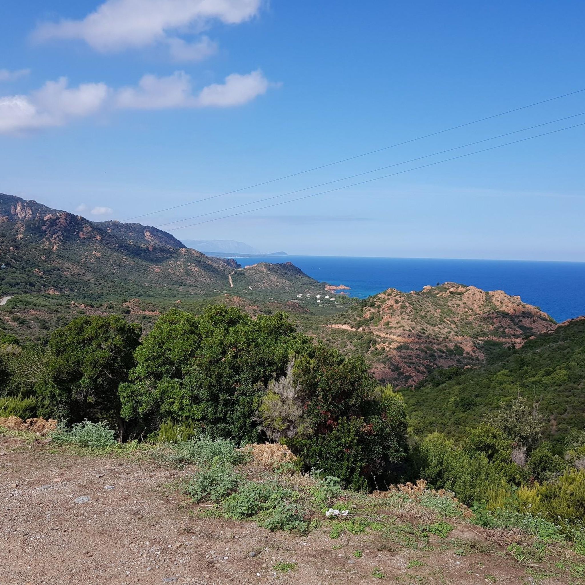
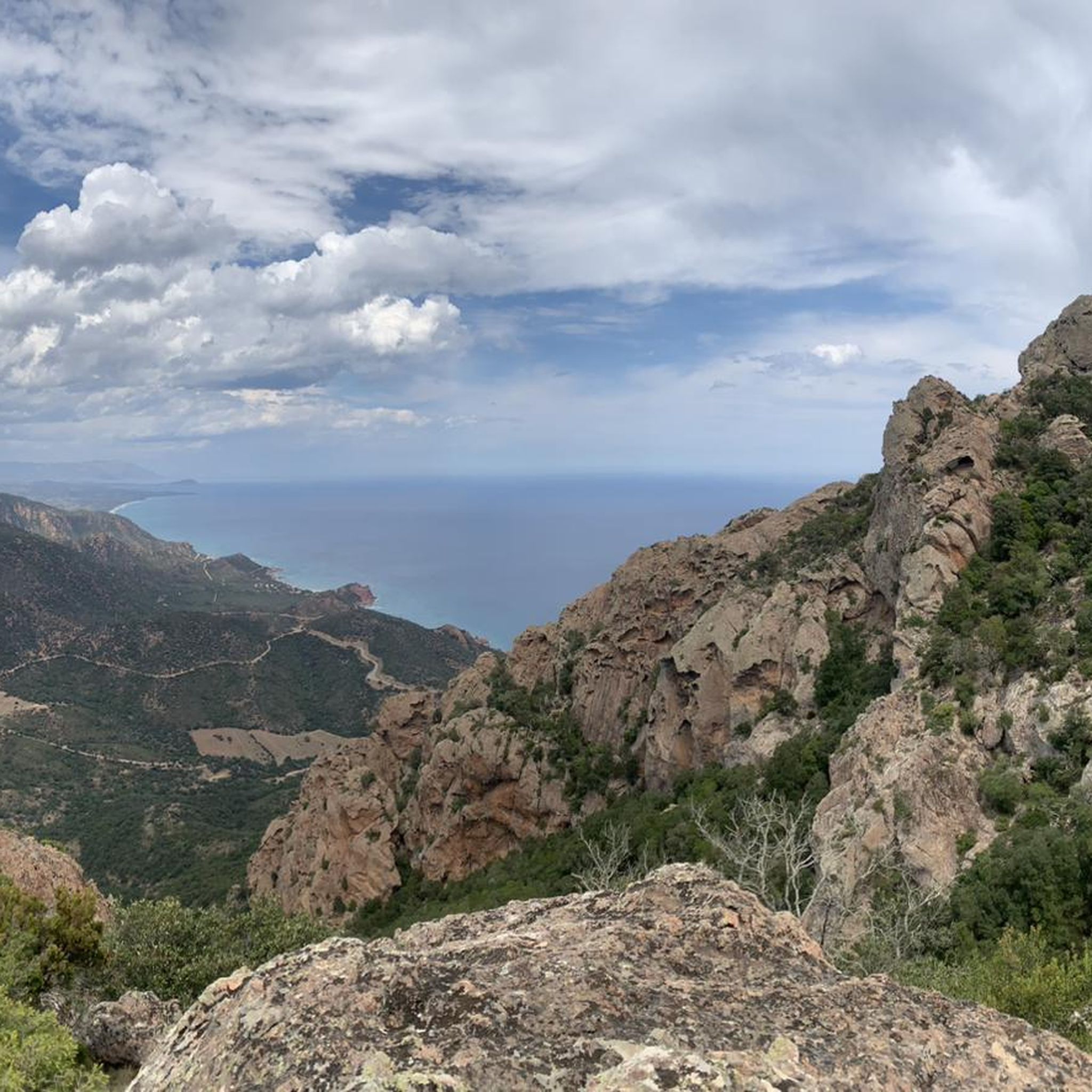

Other adventures around Gàiru/Gairo

Tips from the Community

In this beautiful village in Ogliastra you can find many handicrafts and many very beautiful murals 😍
0
0
A large mural located in front of the town hall
0
0
The Barì Tower is an ancient medieval tower of Spanish construction, located on the eastern coast of Sardinia, on the beach of the same name in the municipality of Bari Sardo, in the province of Nuoro.
0
0

the church of Bari Sardo and the mural in the square
0
0
the Church of Bari Sardo
0
0

A panoramic viewpoint next to Cardedu Beach, where you can stop, take some photos, and admire the surrounding sea.
2
0
Arbatax station is a railway station located in the hamlet of the same name in the municipality of Tortolì, the terminus of the railway to Mandas, used exclusively for the tourist services of the Trenino Verde.
2
0
History and Origins of the Red Rocks of Arbatax The surrounding area was once a rich and profitable mine. Here, miners extracted red porphyry—from which the rocks are made—a lava stone that, at the time, was used to build and beautify the port, villages, and nearby towns.
0
0
Frequently Asked Questions
How many road cycling routes are available around Gàiru/Gairo?
There are nearly 100 road cycling routes around Gàiru/Gairo, offering a diverse range of experiences from coastal rides to challenging mountain climbs. The komoot community has rated these routes highly, with an average score of 4.4 stars.
What is the best time of year for road cycling in Gàiru/Gairo?
The best seasons for road cycling in Gàiru/Gairo are typically spring (April-May) and autumn (September-October). During these months, the weather is generally mild and pleasant, avoiding the intense heat of summer and the cooler, potentially wetter conditions of winter. This allows for comfortable riding through both the mountainous and coastal areas.
Are there any easy road cycling routes suitable for beginners in Gàiru/Gairo?
Yes, Gàiru/Gairo offers a selection of easier road cycling routes. There are 11 routes specifically categorized as easy, providing gentler terrain and shorter distances for those new to road cycling or looking for a more relaxed ride.
Where can I find challenging road cycling routes with significant climbs?
For experienced cyclists seeking a challenge, Gàiru/Gairo features 40 difficult routes with substantial elevation gain. A notable option is the Jerzu – Ulassai loop from Coccorrocci, which covers 73.9 km and includes over 1400 meters of ascent. Another demanding ride is the Ring in the Gennargentiu Mountains from Gairo Taquisara, offering over 1100 meters of climbing over 56.5 km.
Are there any circular road cycling routes in the Gàiru/Gairo area?
Many of the road cycling routes around Gàiru/Gairo are designed as loops, allowing you to start and finish in the same location. Examples include the Arbatax Red Rocks – Torre di Barì loop from Perd e Pera, which offers coastal views, and the Cardedu Beach – Jerzu loop from Barì/Bari Sardo, combining coastal and inland scenery.
What kind of scenery can I expect on road cycling routes around Gàiru/Gairo?
Road cycling around Gàiru/Gairo offers diverse scenery, from the rugged, mountainous landscapes of the Gennargentiu Mountains to picturesque coastal roads with views of the Sardinian sea. Routes also connect traditional villages and traverse valleys, providing a mix of natural beauty and cultural insights.
What attractions or landmarks can I see along the road cycling routes?
While cycling, you can explore various natural attractions. The region is home to several waterfalls, such as Is Piscinas Pools and Waterfalls and Pirincanes Waterfall. You might also encounter natural monuments like Perda e Liana or the impressive Su Marmuri Cave.
Are there any particularly long road cycling routes for endurance training?
For longer rides, consider routes that explore more of the region's varied terrain. The Cardedu Beach – Gairo Village loop from Perd e Pera is a challenging option at 79.3 km, featuring significant elevation changes. Another long route is the Jerzu – Ulassai loop from Coccorrocci, spanning 73.9 km.
What do other road cyclists say about the routes in Gàiru/Gairo?
The road cycling routes in Gàiru/Gairo are highly regarded by the komoot community, boasting an average rating of 4.4 stars from over 100 reviews. Cyclists often praise the varied terrain, from challenging mountain passes to scenic coastal stretches, and the opportunity to explore traditional Sardinian villages.
Are there road cycling routes that offer coastal views?
Yes, several routes provide stunning coastal views. The Arbatax Red Rocks – Torre di Barì loop from Perd e Pera is a popular choice, offering vistas of the sea and notable rock formations. The Cardedu Beach – Jerzu loop from Barì/Bari Sardo also includes sections along the coast before heading inland.
What is the typical duration for completing road cycling routes in this area?
The duration varies significantly based on the route's length and difficulty. For example, a moderate route like the Arbatax Red Rocks – Torre di Barì loop from Perd e Pera (57.4 km) typically takes around 2 hours 30 minutes. More challenging routes, such as the Ring in the Gennargentiu Mountains from Gairo Taquisara (56.5 km with significant elevation), can take over 3 hours.
Most popular routes around Gàiru/Gairo
Most popular attractions around Gàiru/Gairo

Get inspired with the komoot mobile app


Explore more
Browse the best Road cycling routes in other regions.
