The best road cycling routes around Lastra A Signa
4.4
(692)
16,911
riders
12
rides
Road cycling routes around Lastra A Signa traverse a landscape characterized by rolling hills, extensive vineyards, and olive groves, situated between the Arno and Pesa river valleys. The terrain offers a mix of paved roads with varied elevation gains, from gentle gradients to more challenging climbs. This area provides diverse road cycling opportunities, catering to different fitness levels with routes that explore both the river plains and the surrounding hilly countryside.
Best road cycling routes around Lastra A Signa
- The…
Last updated: August 15, 2026
4.7
(10)
224
riders
Moderate road ride. Good fitness required. Mostly well-paved surfaces and easy to ride.
4.7
(15)
118
riders
36.4km
01:38
370m
370m
Moderate road ride. Good fitness required. Mostly well-paved surfaces and easy to ride.

Sign up for free
4.0
(4)
104
riders
52.6km
02:19
430m
430m
Moderate road ride. Good fitness required. Mostly well-paved surfaces and easy to ride.
4.5
(2)
37
riders
49.7km
02:10
390m
390m
Moderate road ride. Good fitness required. Mostly well-paved surfaces and easy to ride.
3.0
(1)
28
riders
47.0km
02:16
600m
600m
Moderate road ride. Good fitness required. Mostly well-paved surfaces and easy to ride.
Get access to more routes and recommendations from other explorers.
Sign up for free
Already have an account?
Our route recommendations are based on thousands of hikes, rides, and runs completed by other people on komoot.
Start today with a free account
Your next adventure awaits.
Login or Signup
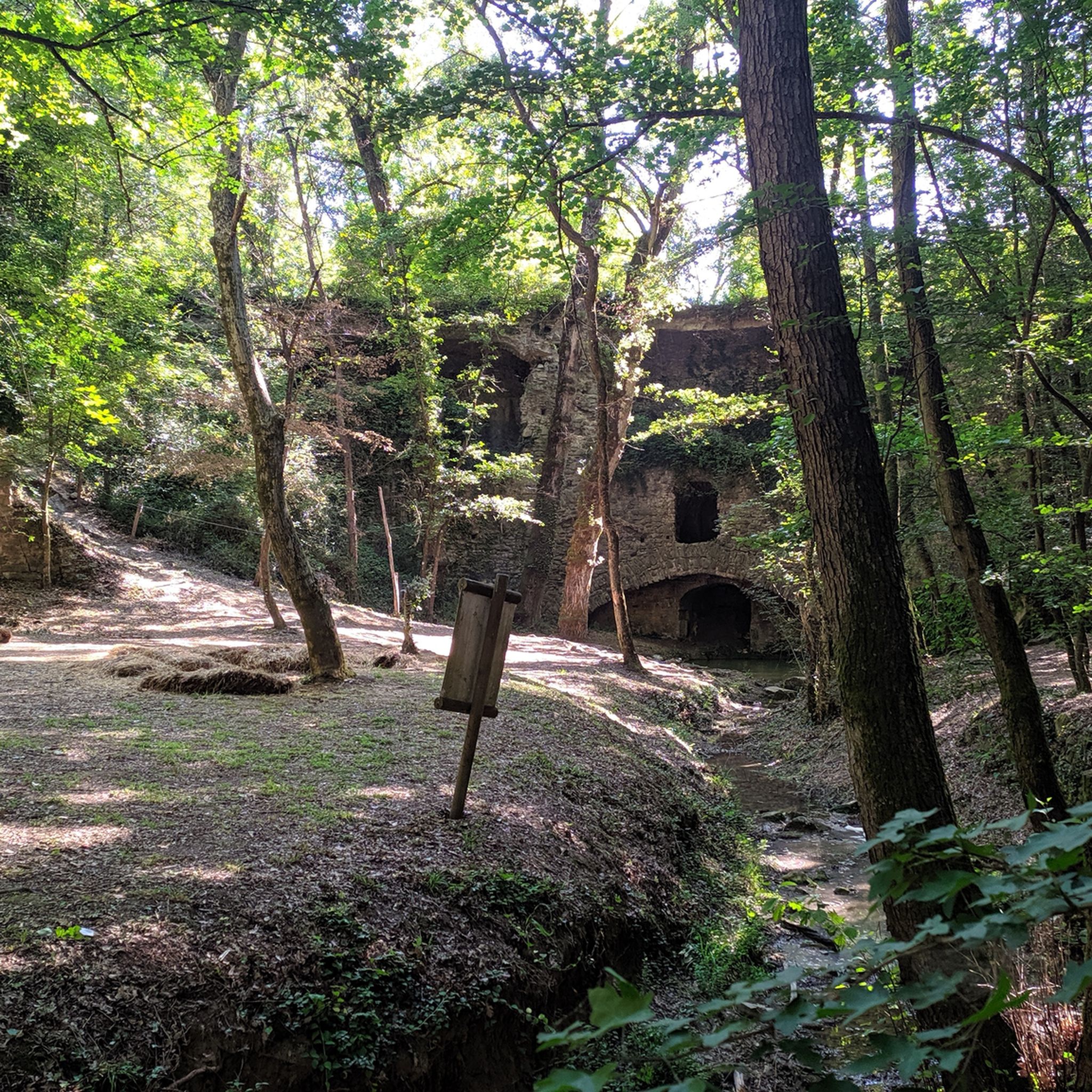
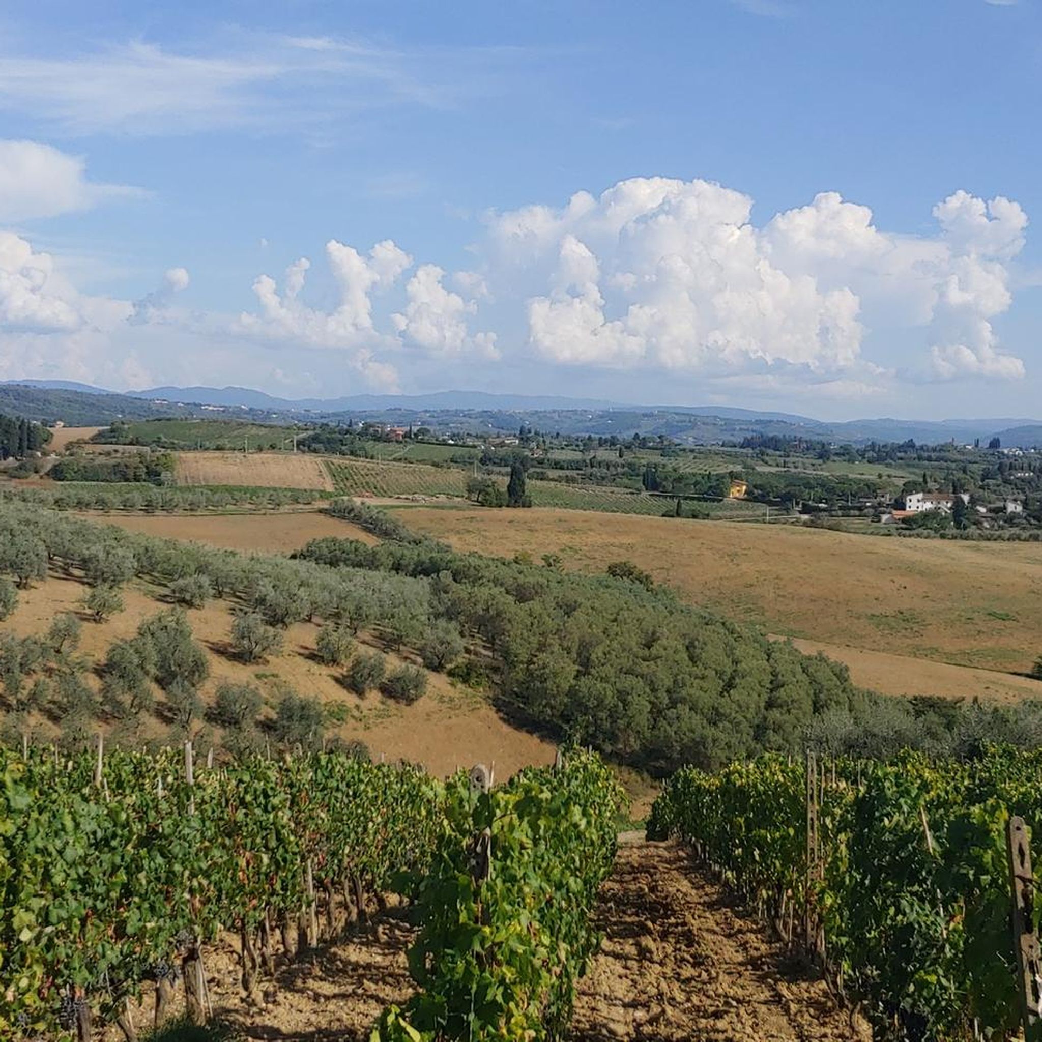
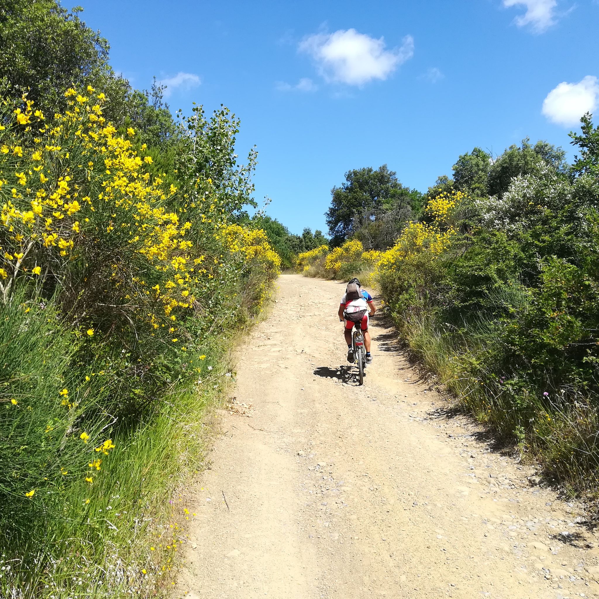

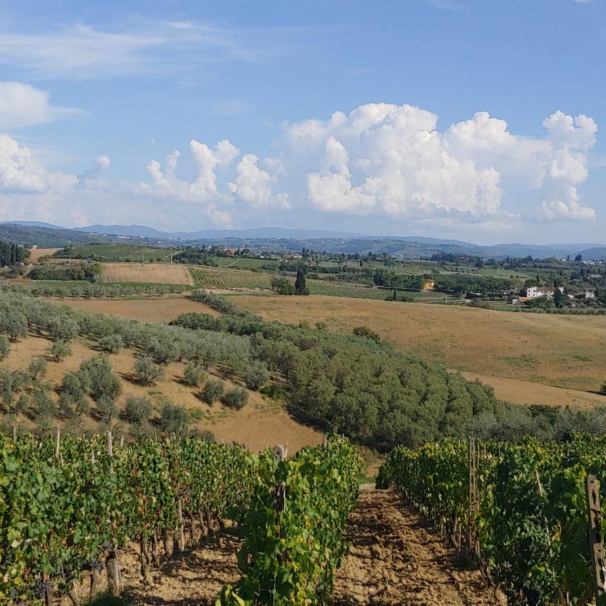
Tips from the Community

Descending from Montespertoli, you can take this beautiful and scenic secondary road, with some truly picturesque spots. There's very little traffic and a few ups and downs (including a short climb in double figures).
0
0

the very steep climb is amply repaid by the visit.
0
0

From Montelupo you can see Capraia, Christ makes couples and then pairs them up! This Tuscan saying highlights the two villages overlooking the Arno, Montelupo and Capraia Fiorentina.
2
0

I would like to point out that it is between the towns of Lastra a Signa and Ginestra Fiorentina.
1
0

Between San Casciano in Val di Pesa and its hamlet Spedaletto, about 300 inhabitants along the ancient Via Cassia, along this splendid road you can enjoy some typical views of the Tuscan countryside, including some notable private villas. The vineyards you find here are almost all dedicated to the production of Chianti Classico.
1
0

The Charterhouse of Florence is a very beautiful, idiosyncratic building in the south of the city!
0
0

In Montelupo Fiorentino, where the Pesa River flows into the Arno, there is a beautiful glimpse of the town that is reflected in the placid waters of the waterway that runs through Florence. The ideal place to take a break and stop to take a photograph!
1
1

Beautiful road towards Montespertoli. There are some tough climbs, short but steep climbs, where you need a bit of leg. Eventually you can always put your foot on the ground in those sections.
2
1
Frequently Asked Questions
What kind of terrain can I expect on road cycling routes around Lastra a Signa?
The region offers a diverse landscape for road cycling, characterized by rolling hills, extensive vineyards, and olive groves. Routes traverse both the Arno and Pesa river valleys, providing a mix of paved roads with varied elevation gains, from gentle gradients to more challenging climbs.
How many road cycling routes are available in Lastra a Signa?
There are over a dozen road cycling routes around Lastra a Signa, with 13 distinct tours listed in the area. These routes cater to different fitness levels, primarily moderate to difficult.
Are there any beginner-friendly road cycling routes in Lastra a Signa?
While the area is known for its rolling hills and varied elevation, the listed routes are generally moderate to difficult. There are no routes explicitly categorized as easy in the current selection, suggesting that most require a reasonable level of fitness.
What are some of the longer road cycling routes in the area?
For those seeking longer rides, the Certosa di Firenze – Chiesanuova loop from Lastra a Signa covers approximately 31.5 miles (50.7 km). Another option is the Pesa Stream Waterfall – Via Bracciatica Climb loop from Malmantile, which is about 30.9 miles (49.7 km).
What historical landmarks or natural features can I see while cycling around Lastra a Signa?
The routes often pass through picturesque landscapes and historic areas. You might encounter charming hamlets like Malmantile, still encircled by its historic defense walls. The region is also dotted with historical churches and stately villas. For specific points of interest, consider exploring highlights such as the Malmantile Fortified Castle or the Viewpoint from the Rocca di Carmignano.
Are there any routes that feature significant climbs?
Yes, many routes in Lastra a Signa include notable climbs. For example, the Botinaccio Climb – Grillaio Climb loop from Lastra a Signa features significant elevation gain, offering a challenging experience for cyclists.
What do other cyclists say about the road cycling experience in Lastra a Signa?
The area is highly rated by the komoot community, with an average score of 4.1 stars from over 30 reviews. Cyclists often praise the varied terrain, the scenic views of vineyards and olive groves, and the opportunity to explore charming Tuscan countryside.
What is the best time of year to go road cycling in Lastra a Signa?
Lastra a Signa, being in Tuscany, generally offers pleasant cycling conditions during spring (April-May) and autumn (September-October) when temperatures are milder. Summer can be hot, especially in July and August, but early mornings or late afternoons can still be enjoyable. Winters are typically mild but can be damp.
Are there any circular road cycling routes available?
Yes, many of the routes around Lastra a Signa are designed as loops, allowing you to start and finish in the same location. Examples include the San Vito Ascent to Malmantile – Along the Ombrone Trail loop from Lastra a Signa and the Chiesanuova – Grillaio Climb loop from Lastra a Signa.
Is there public transport access to Lastra a Signa for cyclists?
Lastra a Signa is well-connected within the Tuscan region. You can find information on local and regional public transport options, including train and bus services, by checking the official Visit Tuscany website: visittuscany.com. It's advisable to check if bikes are permitted on specific services.
Are there any specific attractions related to the Arno or Pesa rivers?
The region is situated between the Arno and Pesa river valleys, and many routes offer views of these waterways. The Pesa Stream Waterfall – Via Bracciatica Climb loop from Malmantile specifically highlights a feature of the Pesa Stream, allowing you to experience the natural beauty of the river landscape.
What is the average duration for a road cycling route in Lastra a Signa?
The duration of routes varies depending on length and elevation. Many moderate routes, such as the San Vito Ascent to Malmantile – Along the Ombrone Trail loop from Lastra a Signa, can be completed in under two hours. Longer routes, like the Certosa di Firenze – Chiesanuova loop from Lastra a Signa, might take over two hours.
Most popular routes around Lastra A Signa
Most popular attractions around Lastra A Signa

Get inspired with the komoot mobile app


Explore more
Browse the best Road cycling routes in other regions.
