The best walks and hikes around Ceres
4.4
(1796)
7,384
hikers
19
hikes
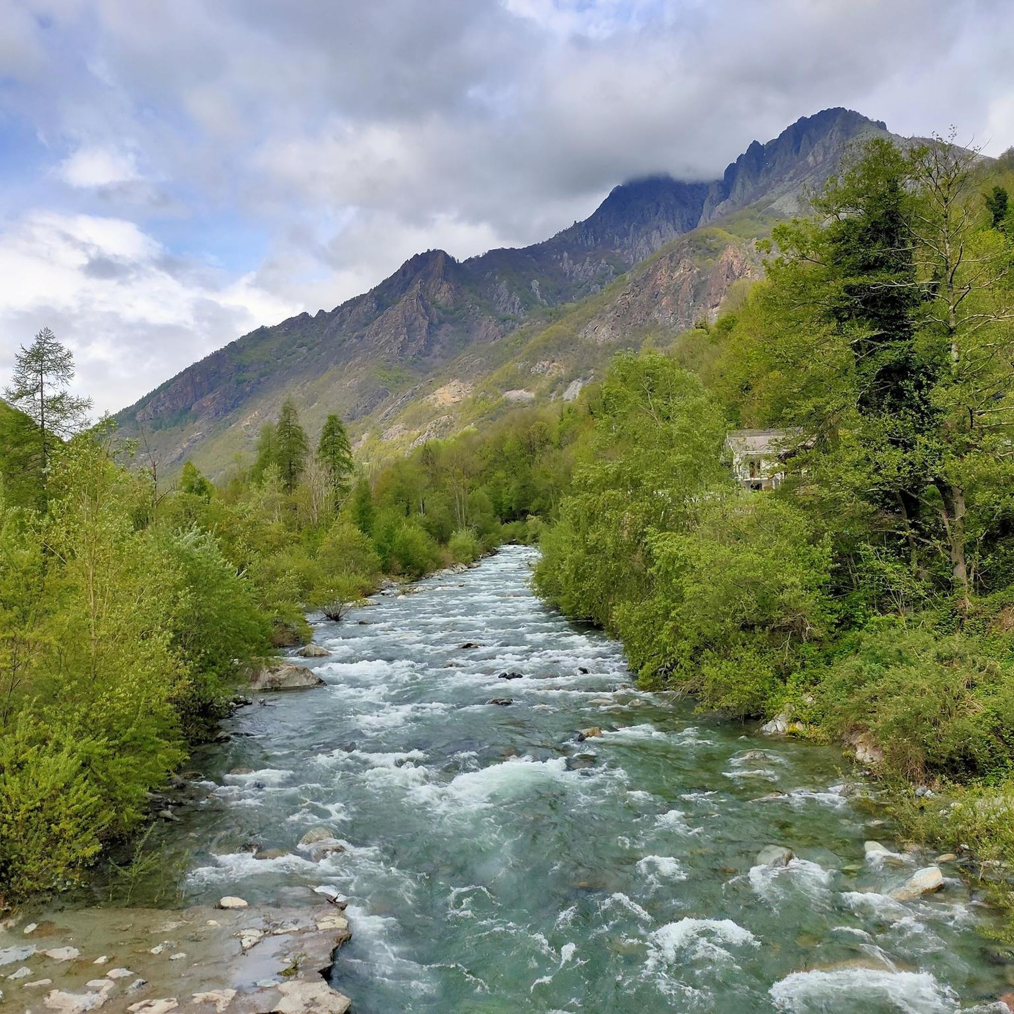
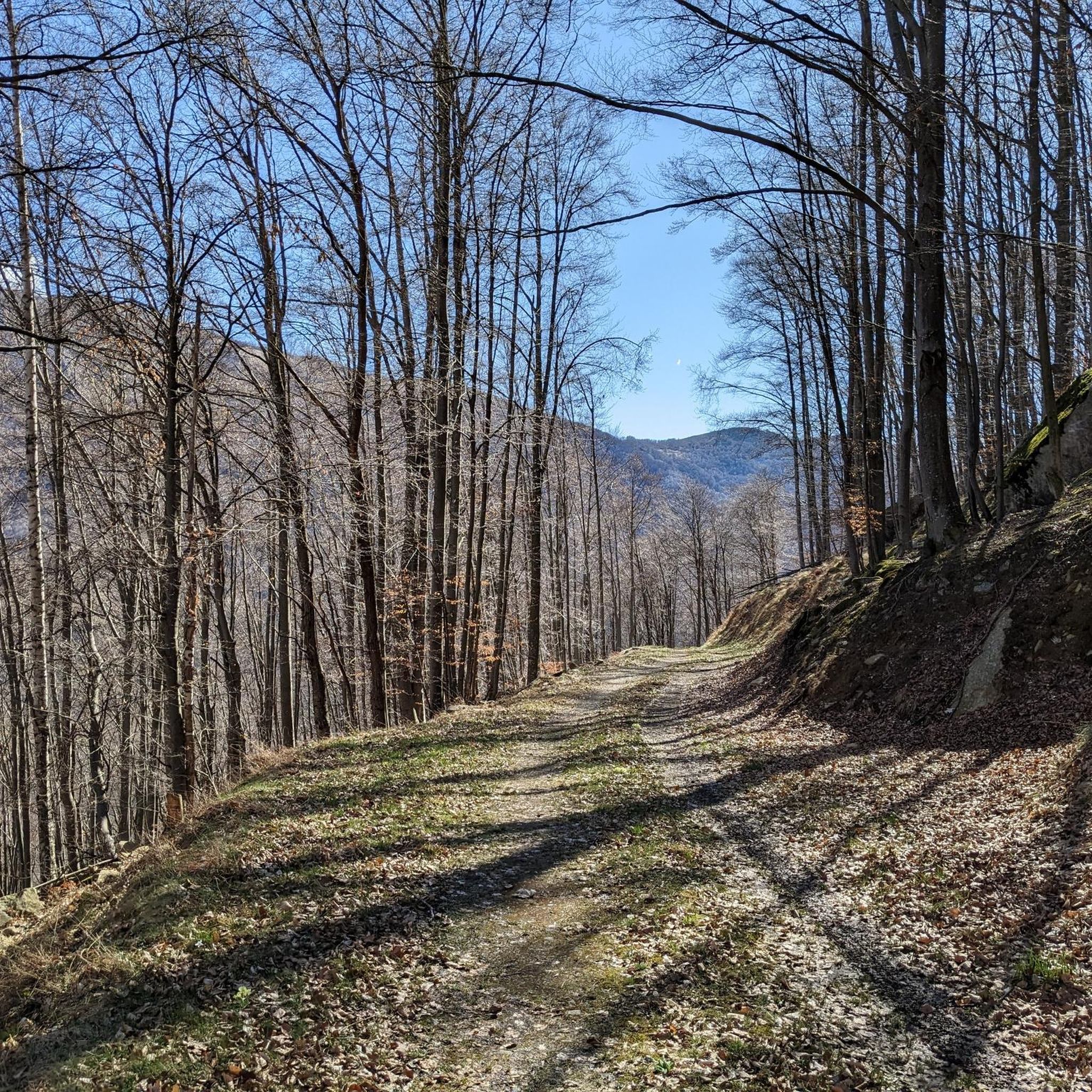
Hiking around Ceres offers diverse terrain, characterized by mountainous landscapes, valleys, and historical features. The region provides a network of trails that traverse varied elevations, from moderate paths through forests to more challenging ascents. Hikers can explore routes that feature significant climbs and scenic viewpoints.
Best hiking trails around Ceres
- The most popular hiking route is Santa Cristina Loop, a 5.8 miles (9.3 km) trail that takes 4 hours 5 minutes to complete, offering a scenic loop through the…
Last updated: September 26, 2026
4.8
(20)
66
hikers
9.31km
04:05
690m
690m
Moderate hike. Good fitness required. Mostly accessible paths. Sure-footedness required.
3.0
(1)
2
hikers
5.90km
02:04
340m
340m
Moderate hike. Good fitness required. Easily-accessible paths. Suitable for all skill levels.

13.6km
05:41
1,190m
1,190m
Hard hike. Very good fitness required. Easily-accessible paths. Suitable for all skill levels.
4.4
(28)
148
hikers
8.24km
04:03
690m
690m
Moderate hike. Good fitness required. Mostly accessible paths. Sure-footedness required.
4.3
(3)
20
hikers
22.3km
07:41
1,090m
1,090m
Hard hike. Very good fitness required. Mostly accessible paths. Sure-footedness required.
Get access to more routes and recommendations from other explorers.
Already have an account?
Our route recommendations are based on thousands of hikes, rides, and runs completed by other people on komoot.
Start today with a free account
Your next adventure awaits.

Tips from the Community

Despite the effort of the climb, the view is worth the commitment, also for the sense of peace that the place offers. Not recommended for those unsure of their balance, because the steps are steep and uneven, it is better to be careful by equipping yourself with suitable footwear and poles. Not recommended in case of heavy rain/snow.
1
0

Extraordinary viewpoint, which lies on the peaks above Ceres.
0
0

view from the fork hill
0
0


Chapel of the Plague
0
0

In summer it is easy to reach by car and, from the car park, it offers a series of interesting excursions of various lengths (and difficulty, while remaining substantially simple) in a context that is usually not excessively crowded.
0
0

What can I say, pure spectacle!
0
0

Crucial point of several itineraries, spectacular view
1
0
Frequently Asked Questions
How many hiking trails are available around Ceres?
There are over 19 hiking routes around Ceres, offering a variety of experiences from moderate walks to more challenging ascents. The komoot community has explored over 6,000 of these routes.
What kind of terrain can I expect on hikes around Ceres?
Hikes around Ceres are characterized by mountainous terrain, varied forest paths, and historical landmarks. You'll encounter significant elevation changes, with routes traversing valleys and offering scenic viewpoints.
Are there any challenging hikes for experienced trekkers in Ceres?
Yes, Ceres offers several challenging routes. For instance, the Colle d'Attia via CAI Trail 241 from Bracchiello is a difficult 8.4-mile (13.6 km) path featuring significant elevation gain and mountain views. Another demanding option is the Passo della Croce – Salvin Hut loop from Pessinetto, which covers 17.9 km with substantial elevation.
Can I find easier, family-friendly walks in Ceres?
While many routes involve elevation, there are options suitable for families. The area offers moderate paths through forests. For example, the Archaeological hike to Dolmen di Airetta is a moderate 3.7-mile (5.9 km) trail that can be completed in about 2 hours, leading through historical sites.
Are there any circular hiking routes in the Ceres area?
Yes, several circular routes are available. The Santa Cristina Loop is a popular 5.8-mile (9.3 km) trail that offers a scenic loop through the local landscape. Another option is the Chapel of the Angels – Sanctuary of Santa Cristina loop from Ceres, an 8.7 km moderate hike.
What natural features or landmarks can I see while hiking near Ceres?
The region around Ceres is rich in natural beauty and landmarks. You can explore natural monuments like the Devil's Bridge (Ponte del Diavolo) near Lanzo Torinese, or discover mountain passes such as Colle della Forchetta. There are also serene Green Lakes and impressive summits like Uja di Bellavarda and Punta Serena.
Are there any historical sites accessible via hiking trails?
Yes, you can combine hiking with exploring historical sites. The Archaeological hike to Dolmen di Airetta is a notable example, leading you through ancient historical landmarks.
What do other hikers say about the trails in Ceres?
The hiking routes in Ceres are highly rated by the komoot community, with an average score of 4.4 stars from over 1500 reviews. Hikers often praise the varied mountainous terrain, the well-maintained paths, and the scenic views encountered along the trails.
Are there any huts or shelters along the hiking routes in Ceres?
Yes, there are several huts and shelters available for hikers. Notable options include Salvin Hut, Alpe Soglia Hut, and Gandolfo and Giuliano Bivouac. These can provide rest stops or overnight accommodation on longer treks.
What is the best time of year for hiking in Ceres?
The mountainous terrain of Ceres suggests that spring, summer, and early autumn are generally the most favorable seasons for hiking, offering pleasant temperatures and clear paths. Winter hikes might be possible but could require specialized gear due to snow and ice at higher elevations.
Are there any viewpoints offering panoramic vistas on Ceres hikes?
Many trails in Ceres offer exceptional views due to the region's mountainous character. Routes with significant elevation gain, such as the Colle d'Attia via CAI Trail 241, are known for their panoramic mountain views. Additionally, Alpe del Conte is specifically listed as a viewpoint.
Most popular attractions around Ceres

Get inspired with the komoot mobile app


Explore more
Browse the best Hikes in other regions.
