The best walks and hikes around Vaie
4.5
(4065)
18,507
hikers
598
hikes
Hiking around Vaie offers access to the lower Susa Valley's diverse terrain, characterized by rolling hills, forested slopes, and historical pathways. The region features moderate ascents leading to panoramic viewpoints and ancient sites. Trails often traverse woodlands and open areas, providing a mix of natural beauty and cultural interest.
Best hiking trails around Vaie
- The most popular hiking route is Roc 'd Vaie Summit Trail, a 4.0 miles (6.5 km) trail that takes 3 hours 38 minutes to complete.…
Last updated: August 3, 2026
4.5
(2)
9
hikers
12.1km
06:01
1,030m
1,030m
Hard hike. Very good fitness required. Mostly accessible paths. Sure-footedness required.
5.0
(1)
1
hikers
6.46km
03:38
680m
680m
Moderate hike. Good fitness required. Mostly accessible paths. Sure-footedness required.

Sign up for free
9.90km
04:24
700m
700m
Moderate hike. Good fitness required. Mostly accessible paths. Sure-footedness required.
4.6
(7)
37
hikers
27.4km
10:44
1,550m
1,550m
Hard hike. Very good fitness required. Mostly accessible paths. Sure-footedness required.
4.3
(4)
17
hikers
13.9km
06:48
1,100m
1,100m
Hard hike. Very good fitness required. Mostly accessible paths. Sure-footedness required.
Get access to more routes and recommendations from other explorers.
Sign up for free
Already have an account?
Our route recommendations are based on thousands of hikes, rides, and runs completed by other people on komoot.
Start today with a free account
Your next adventure awaits.
Login or Signup

Tips from the Community

Ottimo punto panoramico sulla Valsusa, salendo sulla roccia. La si raggiunge con sentiero non difficile
0
0

A panoramic promontory located along trail 435. Made of ancient metamorphic rocks, it offers a privileged vantage point over the Sangone Valley and, in the distance, Turin. It is one of the area's major geological features and a characteristic stop on the route.
0
0
A beautiful clearing in the woods, offering a panoramic view of the Sangone Valley and the surrounding peaks. The alpine chapel has a simple yet striking structure, with a portico, gabled roof, and bell gable. An ideal stop for lunch, the entire area is equipped with picnic tables and benches.
0
0

A long and challenging climb from Condove, it can also be reached from the Lemie side in Val di Viú
1
0
A little hidden, it is located near the Colle, at the beginning of the path that then descends to the hamlets of Merlo and Tonda di Coazze
0
0
Very welcoming place for hikers and bikers. Lots of tables and benches scattered everywhere
1
0

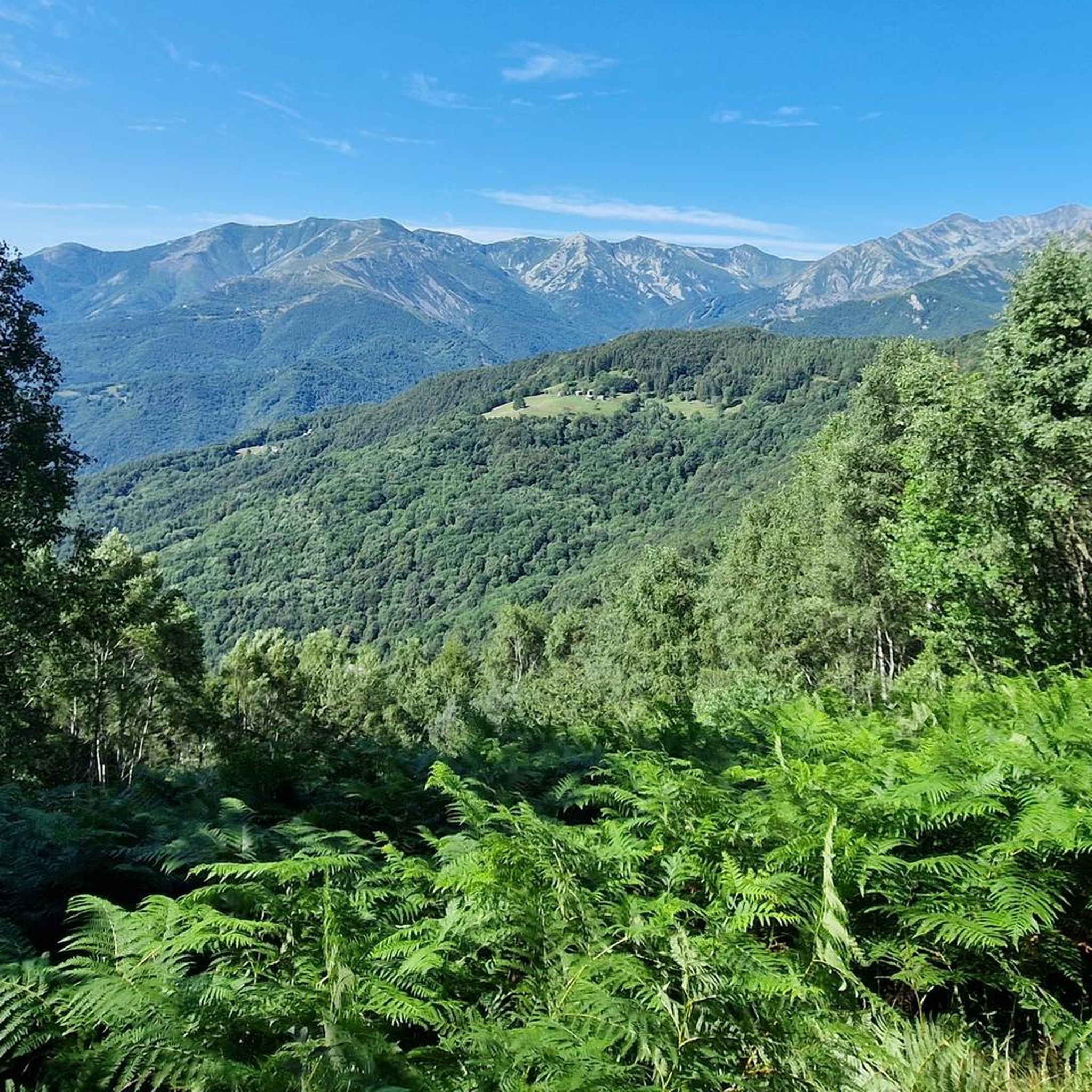
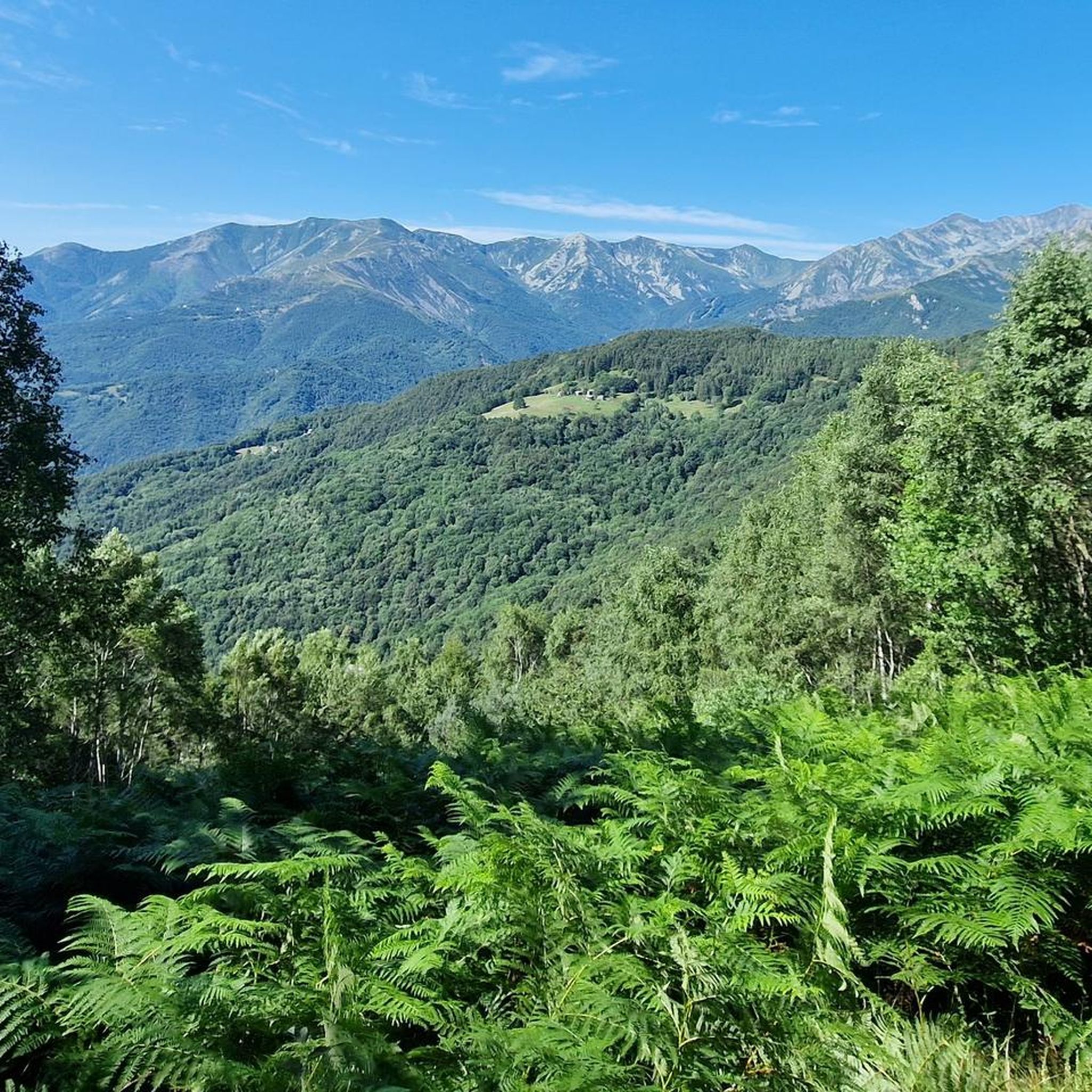
Excellent view of Val Sangone and Punta dell'Aquila.
0
0

The parish church of Sant'Antonino di Susa is one of the oldest in the Susa Valley. In fact, it is already mentioned in documents dating back to 1029. Over time it has undergone renovations and modernizations and today the bell tower is the only part that retains its original style.
1
0
Frequently Asked Questions
What types of hiking trails can I expect around Vaie?
Hiking around Vaie offers a mix of terrain in the lower Susa Valley, featuring rolling hills, forested slopes, and historical pathways. You'll find trails with moderate ascents leading to panoramic viewpoints and ancient sites, often traversing both woodlands and open areas.
Are there easy hiking trails suitable for beginners in Vaie?
Yes, Vaie offers several easier routes. While most trails are moderate, there are 3 routes classified as easy, perfect for those new to hiking or looking for a more relaxed walk. These trails typically have less elevation gain and shorter distances.
What is the typical length and duration of hikes in Vaie?
Hikes in Vaie vary in length and duration. For example, the Roc 'd Vaie Summit Trail is about 6.5 km and takes around 3 hours 38 minutes, while the Trail of the Franks (Sentiero dei Franchi) is longer at 9.9 km, typically requiring about 4 hours 24 minutes.
Are there any circular hiking routes around Vaie?
Yes, Vaie features several circular routes. A popular option is the Roccia Corba – View from Colle Bione loop from Vaie, which is about 10.2 km long and offers views from Colle Bione. Another is the Sacra di San Michele – Sacra di San Michele loop from Vaie, a 12.35 km trail.
Can I find hikes that pass by waterfalls near Vaie?
Absolutely. The region around Vaie is home to several beautiful waterfalls. You can explore highlights like the Goja del Pis Waterfall, Leuja Scura Waterfall, or the Gravio Waterfall, which are popular spots for hikers.
What do other hikers say about the trails in Vaie?
The trails in Vaie are highly regarded by the komoot community, with an average rating of 4.5 stars from over 3,300 reviews. Hikers often praise the diverse landscapes, historical elements, and the rewarding panoramic views from various points along the routes.
Are there any historical or cultural landmarks to see while hiking near Vaie?
Yes, the area is rich in history. The Trail of the Franks (Sentiero dei Franchi) follows an ancient route, offering a glimpse into the region's past. Additionally, the Sacra di San Michele loop takes you to the impressive Sacra di San Michele abbey, a significant historical monument.
What is the best time of year to go hiking in Vaie?
The lower Susa Valley, where Vaie is located, generally offers pleasant hiking conditions from spring through autumn. Spring brings blooming flora, while autumn showcases vibrant foliage. Summers are also suitable, though it's always wise to check local weather forecasts.
Are there any viewpoints or scenic spots on the trails around Vaie?
Many trails in Vaie lead to rewarding viewpoints. The Roc 'd Vaie Summit Trail, for instance, is known for its panoramic views from the summit. Another great spot is the view from Colle Bione, accessible via the Roccia Corba loop.
How many hiking routes are available in the Vaie area?
There are 12 hiking routes available around Vaie, catering to various preferences. This includes 3 easy trails and 9 moderate trails, ensuring options for different fitness levels and experiences.
Are there shorter hiking options suitable for a quick outing in Vaie?
Yes, if you're looking for a shorter hike, the Trail to Cresto (505B) loop from Vaie is a good choice. It's approximately 4.7 km long and can typically be completed in about 1 hour 35 minutes, making it ideal for a brief escape into nature.
Most popular attractions around Vaie

Get inspired with the komoot mobile app


Explore more
Browse the best Hikes in other regions.
