The best walks and hikes around Prarostino
4.3
(968)
4,581
hikers
19
hikes
Hiking around Prarostino offers diverse terrain in the western part of Piedmont, where the Waldensian Valleys of Chisone and Pellice converge. The elevation ranges from approximately 450 to 1100 meters above sea level, featuring a hilly and mountainous environment. The landscape includes lush forests, scattered hamlets, and vineyards, providing varied settings for outdoor exploration. This region is known for its extensive network of trails connecting valleys and ridge lines.
Best hiking trails around Prarostino
- The most popular hiking route is…
Last updated: November 6, 2026
5.0
(2)
6
hikers
15.1km
04:37
520m
520m
Moderate hike. Good fitness required. Easily walkable paths.
4
hikers
13.4km
04:05
450m
450m
Moderate hike. Good fitness required. Mostly walkable paths. Sure-footedness required.

2
hikers
7.18km
02:12
230m
230m
Moderate hike. Good fitness required. Mostly walkable paths. Sure-footedness required.
4.6
(7)
29
hikers
6.04km
01:47
170m
170m
Easy hike. Easily walkable paths.
5.0
(1)
24
hikers
20.3km
07:31
1,050m
1,050m
Hard hike. Very good fitness required. Mostly walkable paths. Sure-footedness required.
Get access to more routes and recommendations from other explorers.
Already have an account?
Our route recommendations are based on thousands of hikes, rides, and runs completed by other people on komoot.
Start today with a free account
Your next adventure awaits.


Tips from the Community

Faro della Libertà, a 15-meter high stone tower designed by architects Gabetti and Isola in 1967, in memory of the 600 partisans who fell in Pinerolese: from here the panorama ranges 360° over the western Alps and the Pinerolese plain, with the unmistakable silhouette of the Rocca di Cavour.
0
0

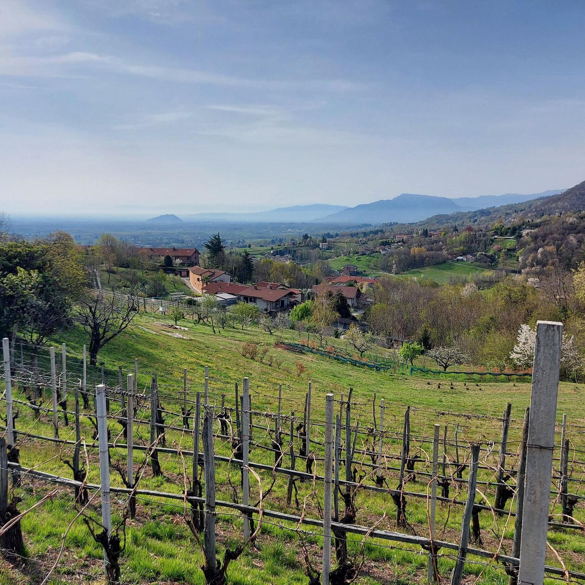
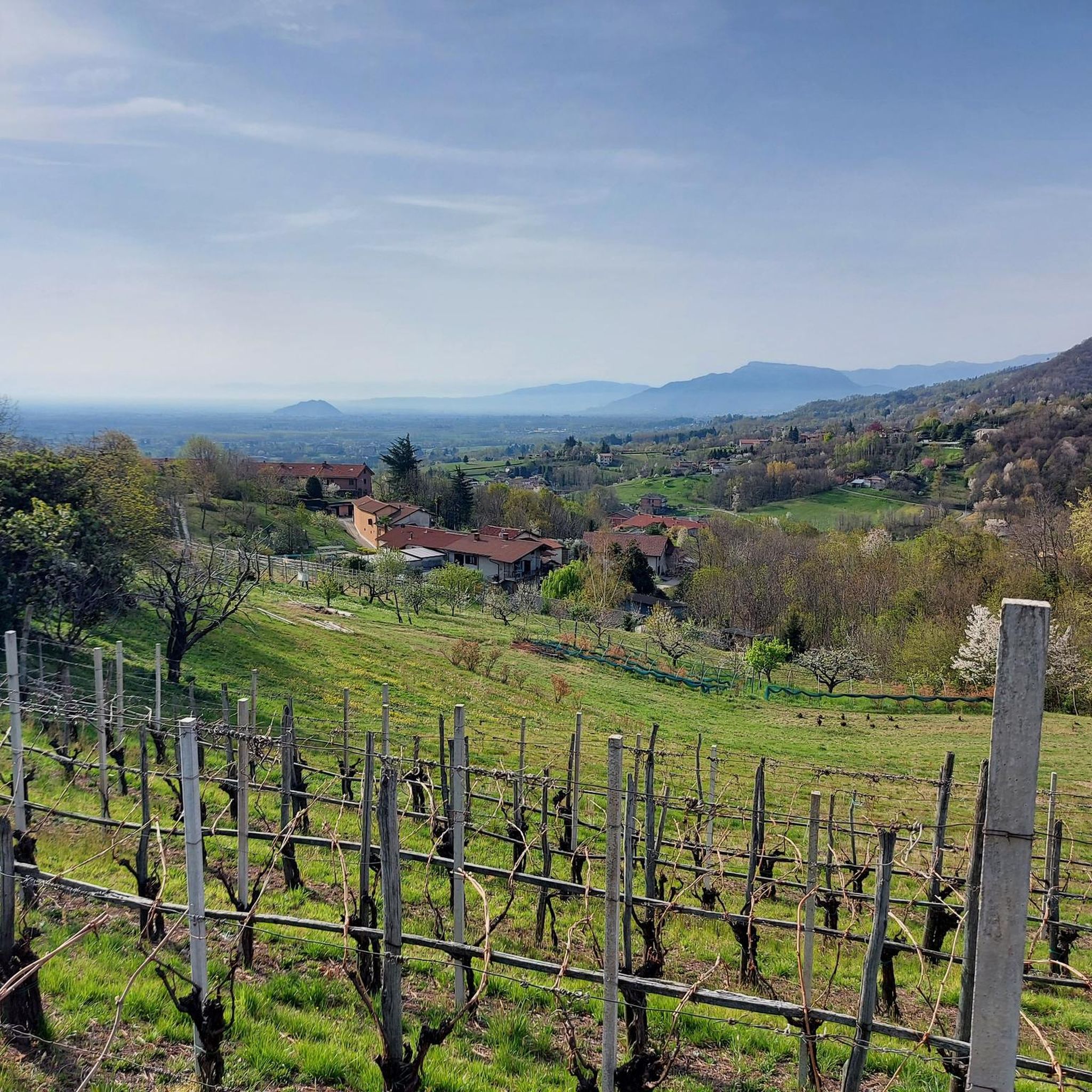
After the demanding climb of Via Massina, with its more than respectable ramps, the arrival in Prarostino finally offers some respite. From here, the view stretches over the plain below, amply rewarding the effort of the last few hundred meters of elevation gain.
0
0

I would say that it is a truly unique place, I must compliment the desire and patience of the authors, it is worth seeing.
0
0

Beautiful panoramic point from Colle Vaccera
0
0

360 degree view!
0
0

Panoramic position in the municipality of Prarostino. Monument to the fallen
1
0
Panoramic terrace over the entire plain 🤩
1
0
Giant bench 383. Placed on September 24, 2024 on Monte Castelletto (1500 m). Fantastic view
1
0
Frequently Asked Questions
What kind of terrain can I expect on hiking trails in Prarostino?
Prarostino offers a diverse landscape, ranging from approximately 450 to 1100 meters above sea level. You'll encounter hilly and mountainous environments, lush forests, and areas with vineyards. Many trails connect valleys and ridge lines, providing varied terrain and scenic views across the Pinerolo plain and the Western Alps.
Are there any easy hiking trails suitable for beginners or a relaxed walk?
Yes, Prarostino has several easy options. An excellent choice is the Prarostino Tower loop from Prarostino, which is about 5.5 km long. Another accessible route is the Faro della Libertà Loop, a 7.2 km circular trail that leads to the Lighthouse of Liberty, offering panoramic views with a moderate ascent.
Which trails offer the best panoramic views in Prarostino?
For breathtaking panoramic views, the Faro della Libertà Loop is highly recommended. The Lighthouse of Liberty features a viewing terrace with impressive 360-degree vistas of the Western Alps, Val Chisone, Val Pellice, and the Pinerolo plain. Additionally, routes along the ridge line connecting Val Pellice and Val Chisone provide splendid views of both the plain and the valleys.
Are there any circular hiking routes in Prarostino?
Yes, Prarostino features several circular routes. The Faro della Libertà Loop is a popular 7.2 km circular trail. Another great option is the Prarostino Borgate Loop, a moderate 13.4 km path designed to explore the numerous characteristic hamlets of the area.
What historical sites or landmarks can I explore while hiking in Prarostino?
Prarostino's trails often weave through sites of significant historical importance. The Waldensian Heritage Trail from San Bartolomeo, for example, leads through historical sites tied to Waldensian heritage and Resistance movements. The Il Torrione Park and Villa is another notable historical site nearby.
What do other hikers enjoy most about hiking in Prarostino?
The hiking trails in Prarostino are highly rated by the komoot community, with an average score of 4.3 stars from over 850 reviews. Hikers frequently praise the diverse terrain, the breathtaking panoramic views, and the pristine nature. Many appreciate the extensive network of trails that connect valleys and ridge lines, offering varied experiences for all levels.
Are there any family-friendly hiking options in Prarostino?
For families, the easier trails are a great starting point. The Prarostino Tower loop from Prarostino is a relatively short and easy option. The Faro della Libertà Loop is also considered accessible for various fitness levels, making it suitable for families looking for a pleasant walk with rewarding views.
Can I bring my dog on the hiking trails in Prarostino?
While specific rules for dogs on every trail may vary, generally, dogs are welcome on many hiking trails in the Piedmont region, provided they are kept under control, especially in areas with livestock or wildlife. It's always advisable to keep your dog on a leash and carry waste bags. There are no specific restrictions mentioned for Prarostino's trails, but always be mindful of other hikers and local regulations.
Are there any mountain passes or peaks accessible from Prarostino for more challenging hikes?
Yes, for more challenging hikes, you can explore routes that lead to nearby mountain passes and peaks. The Col Vaccera Viewpoint – Monte Castelletto loop from Prarostino is a difficult 20.4 km route that includes significant elevation gain. You can also find nearby mountain passes like Colle Vaccera and Colle Pra Martino, offering more strenuous options and expansive views.
What is the best time of year to go hiking in Prarostino?
Prarostino is enjoyable for hiking across multiple seasons due to its varied elevation. Spring and autumn generally offer pleasant temperatures and vibrant scenery, with lush greenery in spring and colorful foliage in autumn. Summer is also popular, though higher elevations might be more comfortable during warmer months. Winter hiking is possible, but conditions can vary, especially at higher altitudes, so checking local weather and trail conditions is recommended.
Are there any lakes or natural parks near Prarostino's hiking routes?
Yes, the region around Prarostino features several natural attractions. You can find beautiful lakes such as Lake Lauson and Laghetto dei Pini Villar Pellice. Additionally, the Conca Cialancia Nature Park is a natural monument in the vicinity, offering further opportunities to explore pristine nature.
Is public transport available to reach trailheads in Prarostino?
While Prarostino is a smaller municipality, public transport options to reach trailheads might be limited. The nearest significant transport hub is Pinerolo Train Station. From Pinerolo, local bus services or taxis might connect to Prarostino's hamlets, but direct access to all trailheads via public transport may require planning. Driving and parking near trailheads is often the most convenient option.
Most popular routes around Prarostino
Most popular attractions around Prarostino

Get inspired with the komoot mobile app


Explore more
Browse the best Hikes in other regions.
