The best walks and hikes in Skútustaðahreppur
4.7
(1285)
11,030
hikers
53
hikes
Hiking trails in Skútustaðahreppur traverse a unique volcanic landscape in Northeastern Iceland, characterized by geothermal phenomena and diverse natural attractions. The region features prominent volcanic craters, extensive lava formations, and active geothermal fields. Hikers can explore areas around Lake Mývatn, including pseudocraters and varied mountain terrain. The trails offer opportunities to experience the geological processes that have shaped this environment.
Best hiking trails in Skútustaðahreppur
- The most popular hiking route is Hverfjall Trailhead – Hverfjall Ascent Trail loop from Hverfjall…
Last updated: November 12, 2026
4.8
(151)
748
hikers
11.4km
03:16
210m
210m
Moderate hike. Good fitness required. Mostly walkable paths. Sure-footedness required.
4.3
(71)
675
hikers
Easy hike. Easily walkable paths.

4.5
(33)
313
hikers
5.07km
01:41
210m
210m
Easy hike. Easily walkable paths.
4.6
(38)
319
hikers
2.86km
00:44
10m
10m
Easy hike. Easily walkable paths.
4.8
(46)
282
hikers
11.4km
03:13
190m
190m
Moderate hike. Good fitness required. Mostly walkable paths. Sure-footedness required.
4.5
(33)
123
hikers
5.03km
01:18
20m
20m
Easy hike. Easily walkable paths.
4.7
(28)
143
hikers
4.74km
01:13
20m
20m
Easy hike. Easily walkable paths.
4.7
(23)
176
hikers
7.52km
02:09
150m
150m
Moderate hike. Good fitness required. Mostly walkable paths. Sure-footedness required.
4.8
(19)
241
hikers
Easy hike. Easily walkable paths.
4.8
(5)
153
hikers
4.80km
01:22
100m
100m
Moderate hike. Mostly walkable paths. Sure-footedness required.
Get access to more routes and recommendations from other explorers.
Already have an account?
Our route recommendations are based on thousands of hikes, rides, and runs completed by other people on komoot.
Start today with a free account
Your next adventure awaits.
Popular around Skútustaðahreppur
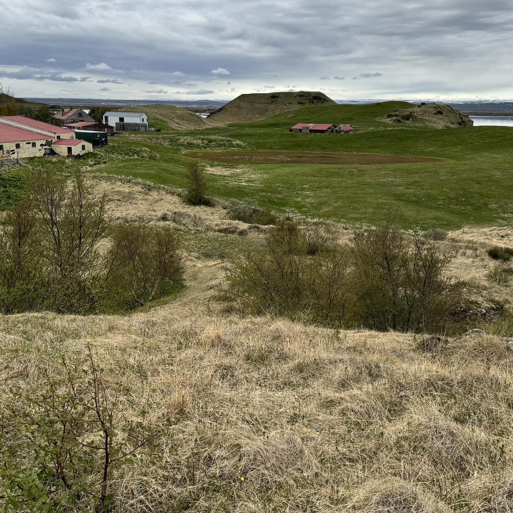
Hiking in Mývatn-Laxá Region
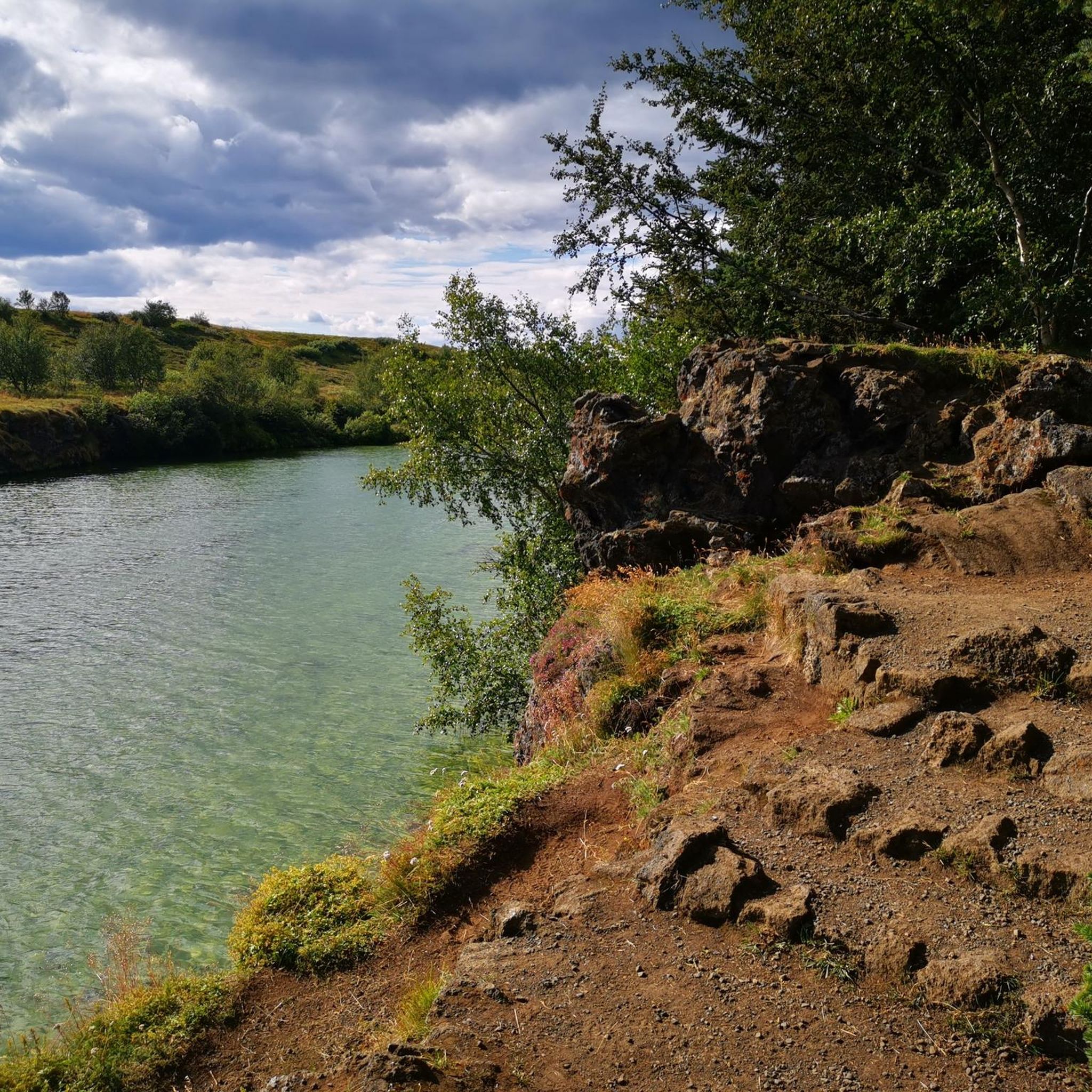
Hiking around Mývatn

Hiking in Hverfjall

Hiking in Dimmuborgir

Hiking in Seljahjallagil
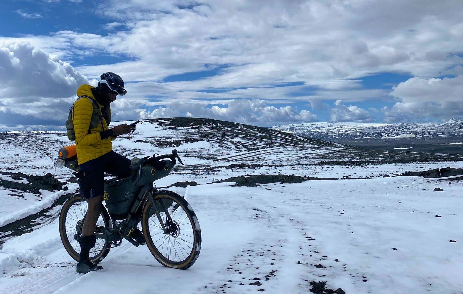
Iceland Divide – Lava fields, icy glaciers and river crossings
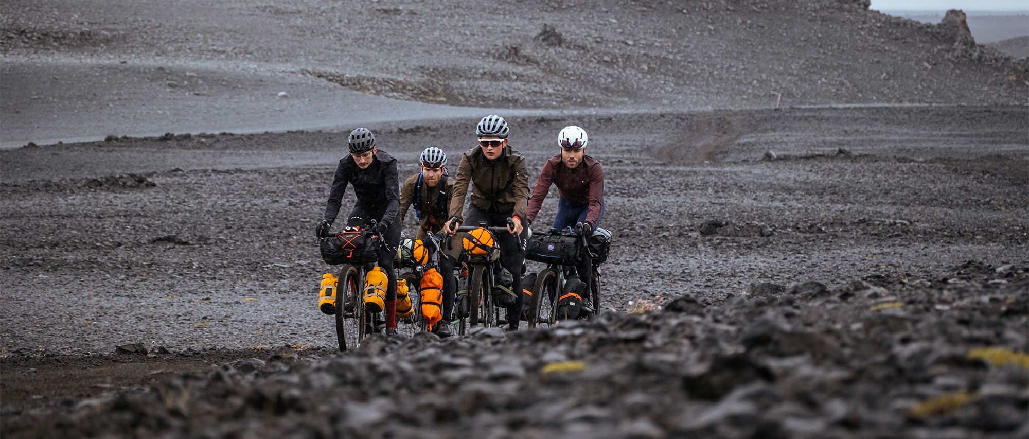
Iceland Divide — Ride Beyond Crew: between fire and ice
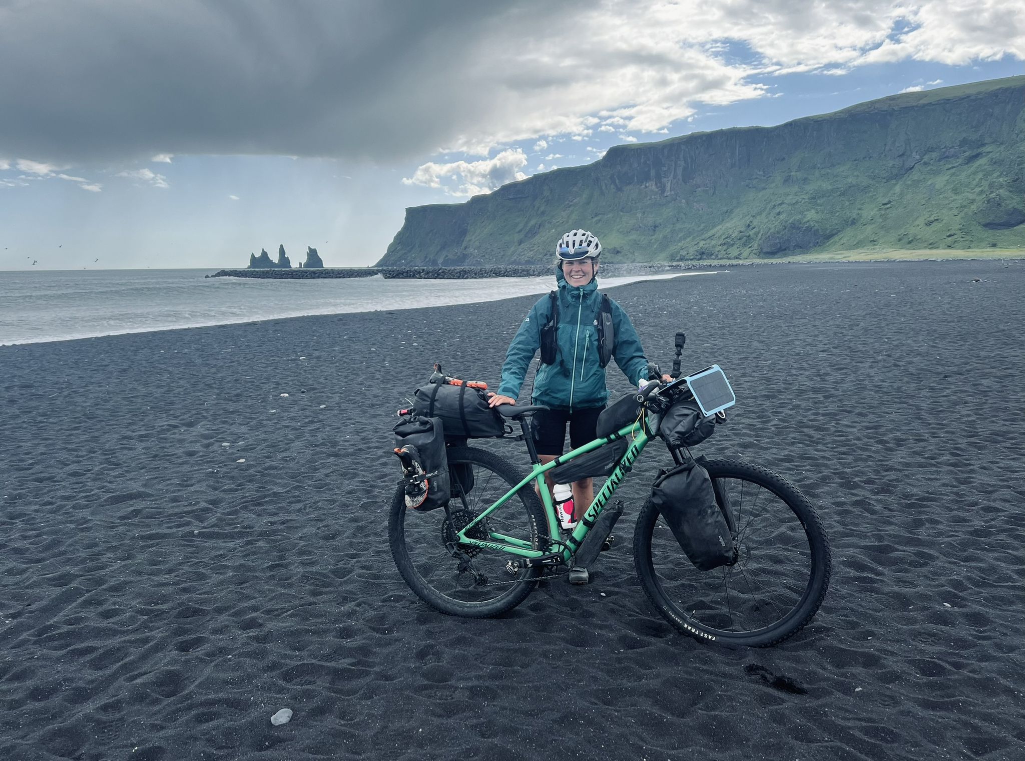
Solitude in the saddle – Iceland Divide
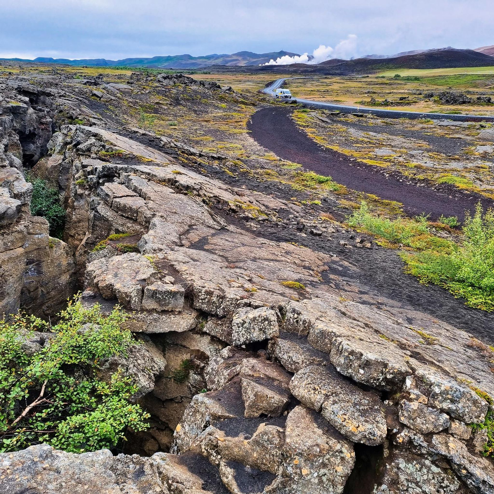
Running Trails in Skútustaðahreppur
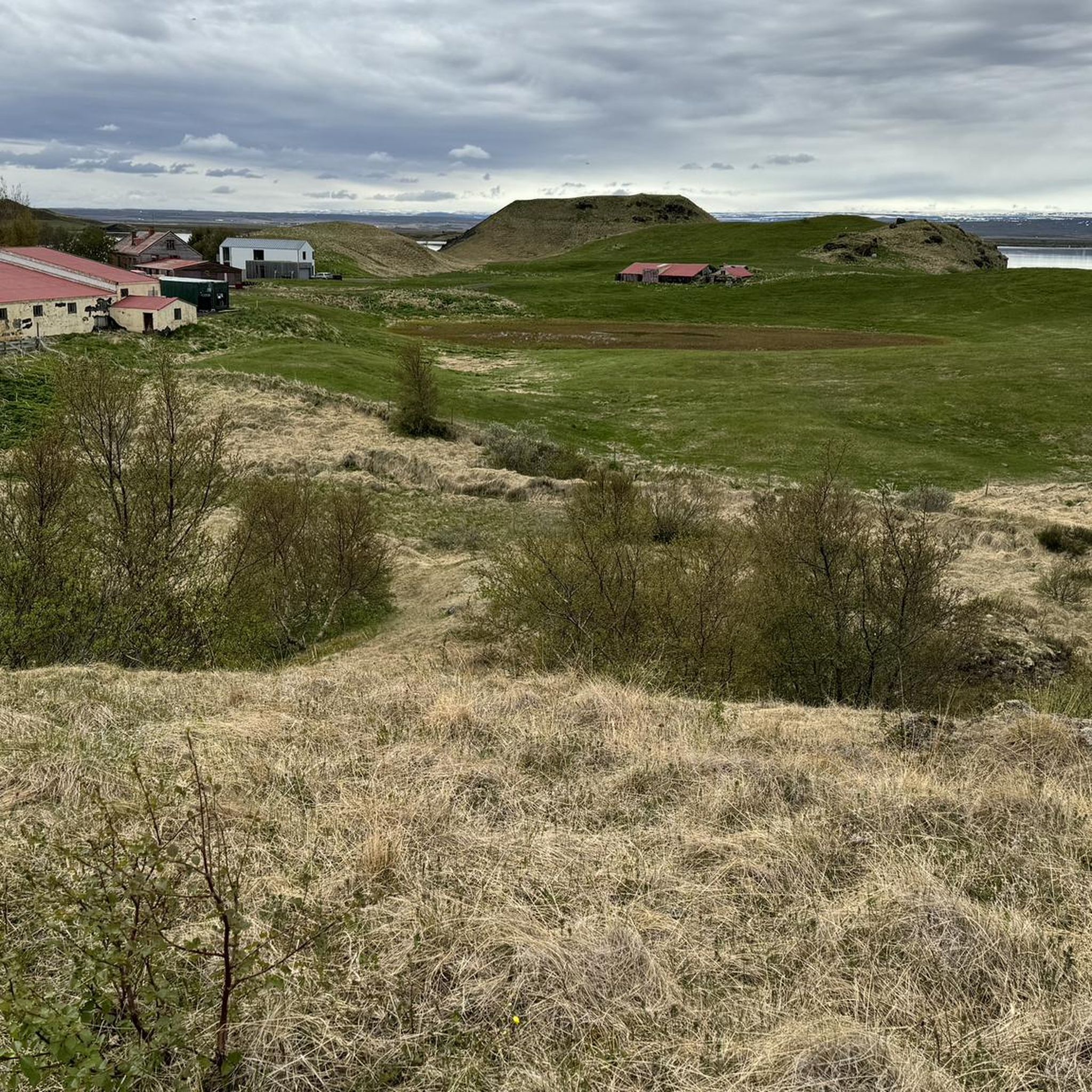
Cycling in Skútustaðahreppur
Other adventures in Skútustaðahreppur


Tips from the Community


The path is more demanding than expected, do not underestimate it!
0
0
Be warned, there is a small body of water nearby, which is why there are small annoying mosquitoes everywhere near the crater.
0
0
The way up is more strenuous than expected, so don't underestimate it!
0
0
The way up is more strenuous than expected, so don't underestimate it!
0
0

Unique lava formations in Lake Myvatn. What a sight. Can also be photographed or seen from the HÖFÐI nature reserve.
0
0
Dimmuborgir is a lava field and the remains of a lava lake east of Lake Mývatn in Iceland. It is located in a volcanically active region in the area of the Krafla volcanic system, directly east of the lake. The tuff ring Hverfjall is adjacent to the northeast. (SOURCE: Wikipedia)
0
0
Dimmuborgir is a lava field and the remains of a lava lake east of Lake Mývatn in Iceland. It is located in a volcanically active region in the area of the Krafla volcanic system, directly east of the lake. To the northeast, adjacent, lies the tuff ring Hverfjall (SOURCE: Wikipedia)
0
0
Frequently Asked Questions
What types of hiking trails are available in Skútustaðahreppur?
Skútustaðahreppur offers a diverse range of hiking trails, from easy strolls to more challenging ascents. You can explore unique volcanic landscapes, geothermal areas, and pseudocraters around Lake Mývatn. The komoot community has documented over 50 routes, with a good balance of easy, moderate, and difficult options.
Are there easy hiking trails suitable for beginners or families?
Yes, Skútustaðahreppur has numerous easy trails perfect for beginners and families. For instance, the Skútustaðagígar Pseudocraters – View of Lake Mývatn loop from Grænilækur is an easy 1.1-mile path exploring the distinct pseudocraters with scenic views. Another accessible option is the Dimmuborgir – Kirkja Lava Cave, Dimmuborgir loop from Dimmuborgir, which is 1.8 miles through unique lava formations.
Can I explore volcanic craters and lava formations on foot?
Absolutely. The region is renowned for its volcanic features. You can hike up Hverfjall Crater for panoramic views, or explore the surreal lava formations at Dimmuborgir Lava Formations. The Leirhnjúkur Volcanic Area loop from Víti also offers trails through an active volcanic landscape.
Are there any geothermal areas I can hike through?
Yes, the Hverir Geothermal Area at the base of Námafjall volcano is a dramatic landscape with steam-belching fumaroles and boiling mud pots. You can experience this otherworldly environment on trails like the Hverir (Hverarönd) loop from Dalfjall.
What natural landmarks can I see while hiking near Lake Mývatn?
Near Lake Mývatn, you can discover several striking natural landmarks. The Grjótagjá Cave is famous for its serene blue hot springs amidst lava rocks. The Dimmuborgir area features unique lava formations, including the Kirkja Lava Cave. You can also see the distinct Skútustaðagígar Pseudocraters directly on the lake's edge.
Are there any circular hiking routes in Skútustaðahreppur?
Many trails in Skútustaðahreppur are designed as loops, offering convenient circular walks. Examples include the Hverfjall Ascent Trail loop from Hverfjall, which takes you around the tephra crater, and the Víti Crater Lake (Krafla) loop from Kröflustöð, exploring the striking crater lake.
What is the best time of year to go hiking in Skútustaðahreppur?
The best time for hiking in Skútustaðahreppur is generally during the summer months (June to August) when the weather is milder, and daylight hours are long. This period offers the most accessible conditions to explore the diverse landscapes. However, some areas can be hiked in shoulder seasons, but conditions may be more challenging.
What kind of wildlife might I encounter on the trails?
The Lake Mývatn area, in particular, is a prime spot for birdwatching, especially around the pseudocraters. While hiking, you might observe various bird species. The unique volcanic environment also hosts specific flora adapted to the conditions.
What do other hikers enjoy most about hiking in Skútustaðahreppur?
The area is highly rated by the komoot community, with an average score of 4.6 stars from over 700 reviews. Reviewers often praise the otherworldly beauty of the volcanic landscapes, the unique geological formations like the pseudocraters and lava fields, and the dramatic geothermal areas. Many appreciate the diverse trail options catering to different fitness levels.
Are there any challenging hikes for experienced trekkers?
Yes, for experienced trekkers seeking a challenge, Skútustaðahreppur offers more demanding routes. While specific 'extra difficult' routes are available in the broader Mývatn area, trails like the Hverfjall Ascent Trail loop involve significant elevation gain to reach the crater rim, providing a moderate challenge and rewarding panoramic views.
Is public transport available to reach hiking areas around Lake Mývatn?
While public transport options are limited in this rural region, there are some bus services that connect major towns and attractions around Lake Mývatn during the peak tourist season. However, for maximum flexibility in accessing various trailheads, renting a car is generally recommended.
Are there any specific safety considerations for hiking in Skútustaðahreppur?
When hiking in Skútustaðahreppur, it's important to stay on marked paths, especially in geothermal areas like Hverir, due to hot ground and steam vents. Weather conditions can change rapidly, so be prepared with appropriate clothing layers. Always inform someone of your hiking plans, and carry sufficient water and snacks. Some areas, like Grjótagjá Cave, can have slippery rocks.
Most popular attractions in Skútustaðahreppur

Get inspired with the komoot mobile app


Didn’t find what you were looking for?
Check out more Hikes throughout Skútustaðahreppur below and find the perfect route in your destination.
Explore more
Browse the best Hikes in other regions.
